Via Ferrata Ettore Bovero to Col Rosa
[Home]
[Main]
[Prev]
[Next]
September 24, 2019
Drove back to Cortina in the morning and parked just north of the Olympic campground. We followed a bike path to a bridge across the river, and then
turned back north on another bikepath for a couple of kilometers past the camping area. Trail 408 took us on a dizzying number of switchbacks steeply
up the mountain for a couple hours until we reached the start of the feratta route.
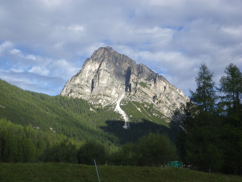
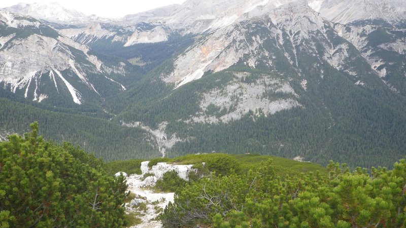
Our objective.
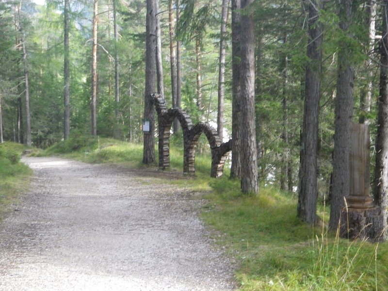
Art installations abound on the bike path.
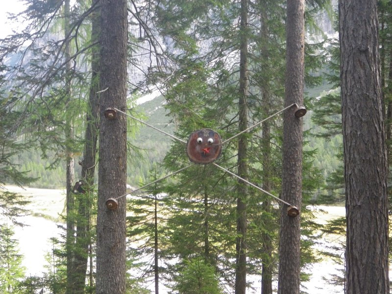
I found the crucified children exhibit somewhat disturbing.
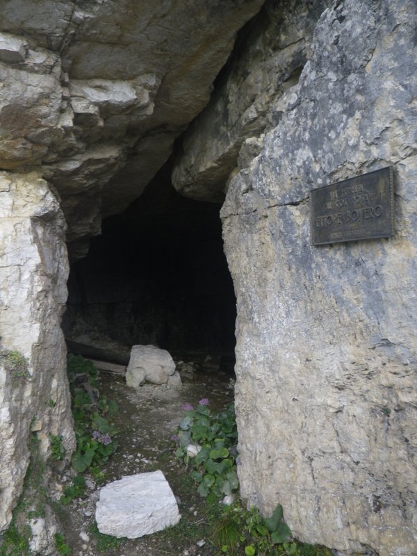
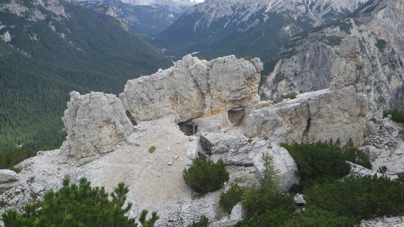
Start of the route with a war cave.
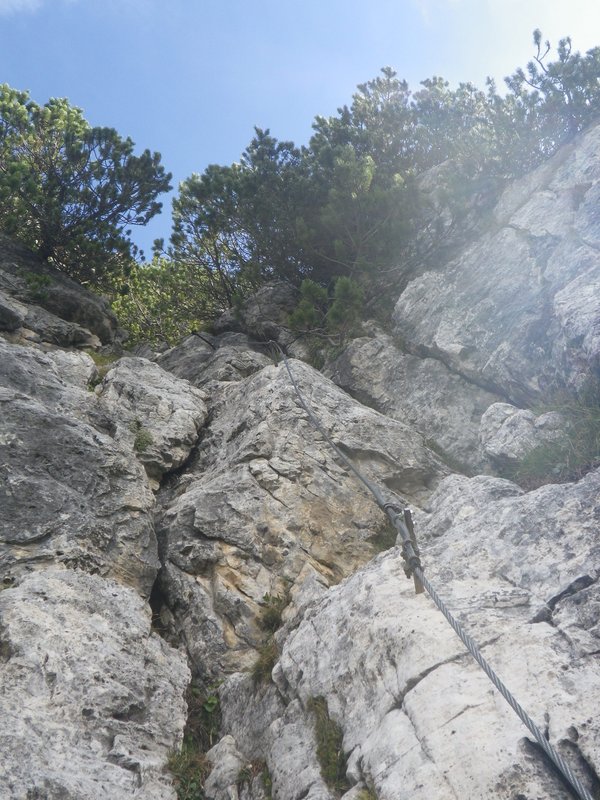
The next while we spent scrambling up some steep forested trail on 3rd class terrain past a bunch of war ruins. Occassionally short pieces of wire
protected some of the crux moves here and there, until finally we arrived at the start of the via ferrata proper with only about 200m of vertical
terrain between us and the summit. The climbing was fairly steep and I found a few sections somewhat awkward, however Katharina did better than
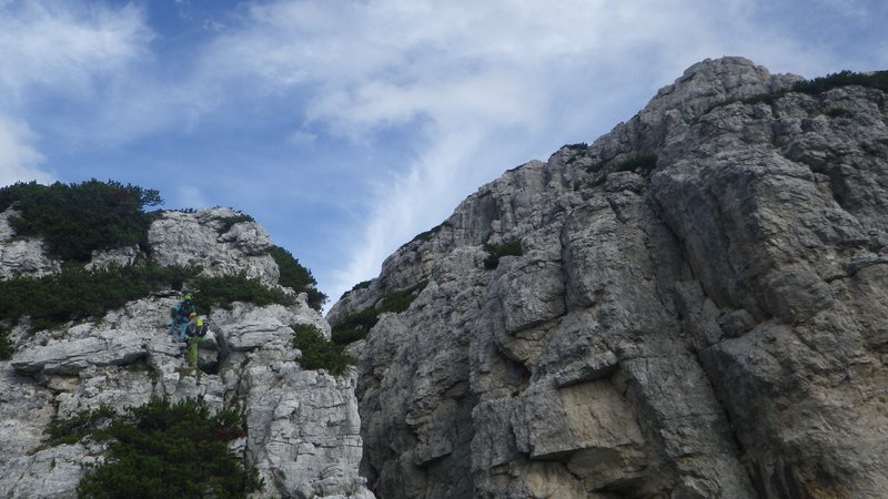
me through these parts. A gracefully moving Italian woman came up behind us and we watched her glide up these crux moves that we had struggled on,
so we pulled aside at a traversing section to let her pass. A steep airy arete followed, were some of the runouts were a little bit past my comfort
zone, but using the wire as a handhold got me through these. As we aproached the top there was some unprotected third class scrambling through an
exposed section. I had brought some climbing gear for this part in case we felt the need for a belay, but this turned out to be fairly comfortable
climbing on excellent holds. A bit more easy but protected climbing brought us up to the false summit where we stopped for a water break while a
very colourfully and coordinately dressed Italian couple passed us.
Steep climbing.
Colourful Italians on the false summit.
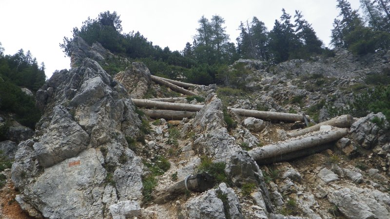
The last section up to the summit was a scramble up a steep gully with a few
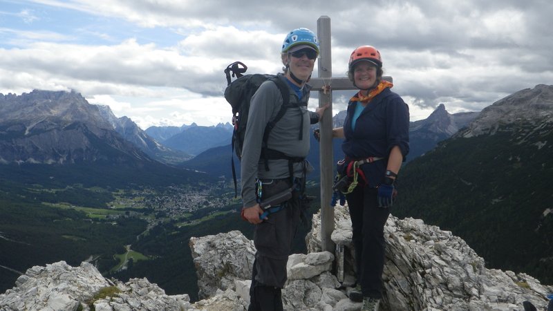
sections of stemples on some of the steeper areas, which popped us out just below the top. A short walk brought us up to the medieval torture
device marking the true summit where excellent views were had in all directions. All three others we had met on the way up were relaxing here, so
after a few photos, we sat down to an extended lunch ourselves.
Summit with Cortina below.
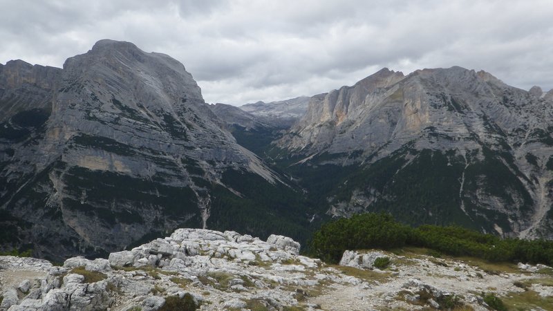
The view.
The descent was the most straight forward of all so far on this trip. A hiking trail left directly from the summit, which took us past several war
ruins where
we spent some time exploring. An impossibly steep section of was amazingly engineered into a walkable trail for a few hundred meters of vertical,
using 3m switchbacks in a staircase fashion. Eventually we reached the bike path at the bottom and took a final break on a conveniently placed bench
at the trail junction. Three kilometers of flat walking brough us back to the car park.
Pretty descent trail.
Another war bunker along the way.
These switchbacks made me dizzy.
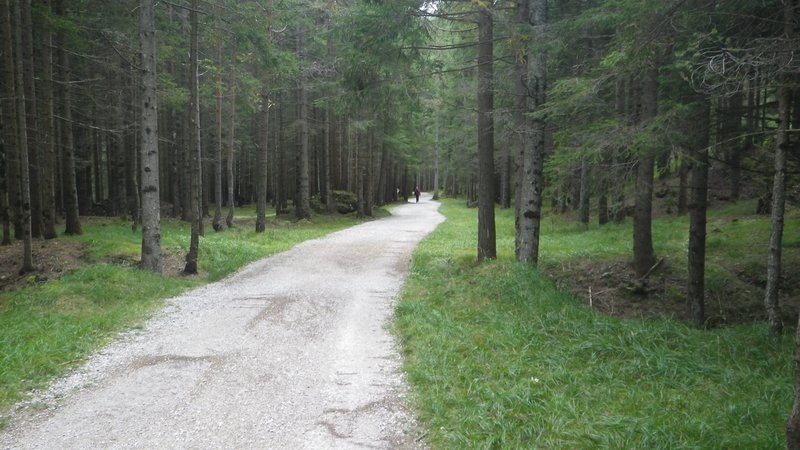
A very civilized return via the bike path.
Ascent time: 4 hours
Total time: 6.5 hours
[Home]
[Main]
[Prev]
[Next]