Piz Boe
[Home]
[Main]
[Prev]
[Next]
September 27, 2019
After a good nights sleep in Franz Kostner hut we had a filling breakfast of bread, cheese, and much too salty eggs. We struck out into a glorious
day up the scree of the Valun Rundweg path. Before long we arrived at the ferrata and this took us some lovely scrambling onto the upper plateau. At
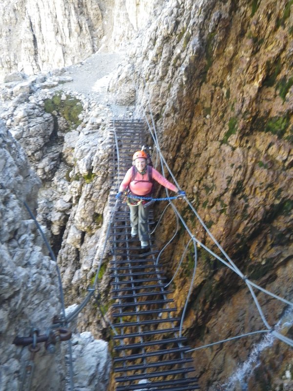
one point we crossed a very tilted wire bridge which provided some entertainment as we passed above a small waterfall. The trail split in two here
and we took the left hand path after a mis-read of the map. This climbed a hundred meteres of scree slope and put us on top of peak 2832m, but was
not really where we were intending to be. Some more map study showed us our error and we saw two options; descend a faint path over a sketchy scree
slope to traverse and pick up the path from yesterday, or descend back down to the source of our error. We chose the latter.
Crooked bridge past the waterfall.
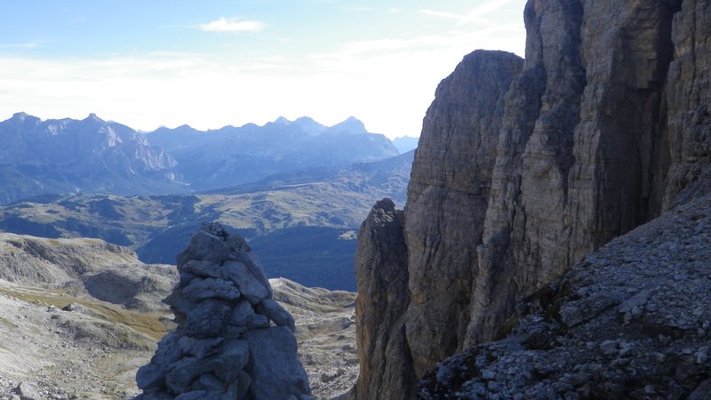
View during the climb.
Topping out.
Back on the correct route, we noticed immediately that this trail was much better marked than our first choice. This was mostly a scree walk, but
occasional scrambles kept things interesting. Some further scrambling up the north ridge of Piz Lech Dlace intersected the trail that we had climbed
yesterday and we finished this scramble to the summit. We looked over at Piz Boe and could see a lot of figures standing on top as well as
quite the congo line of people comming up from the north-west ridge. Our route seemed to be pretty empty fortunately. We scrambled along a knife
edge now, usually wide enough to walk along, however a couple spots had some airy au-cheval manouevers, until we reached the Piz Boe ridge which
was simply a a walk up to the summit.
Hiking into the alpine.
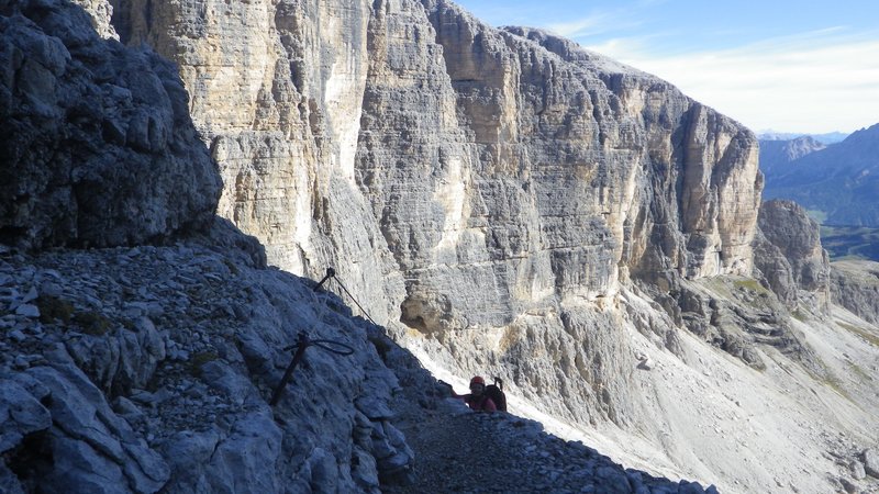
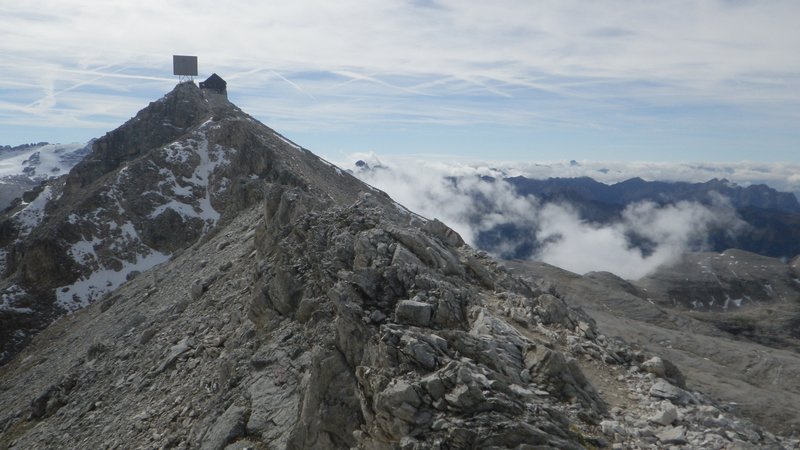
Piz Lech Dlace (right) and Piz Boe (center).

Walking the razor's edge.
Summit of Piz Boe.

We arrived to a very crowded place, with a full hut of folks eating lunch and others scattered all over surrounding rocks. After elbowing our way
to the summit cross, we found ourselves a sheltered spot out of the worst of the cigarette and pipe smoke to sit down for an extended lunch. We were
very careful to leave the summit on the correct trail, since there are a total of three trails, all labelled number 638 which decend from here. On
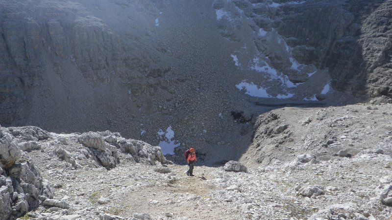
the right trail, this was a long but easy scree walk, with one very steep section down a loose gully. This part sported a brand new ferrata cable
along the wall and I decided to clip into this, which put me off the scree and onto the rock face for a fun traversing descent. Kat skipped this,
opting for the scree route which was aided in several sections by fixed ropes for hand lines. She beat me down, but I think I had more fun!
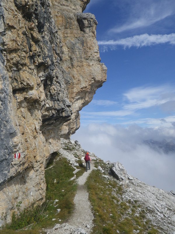
Descending.

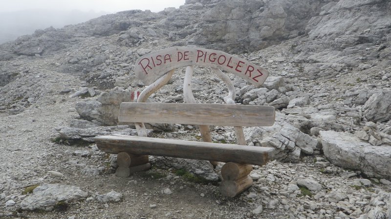
A good bench for a rest.
The weather fogged in for our long traversing walk back to the hut along a goat trail, until suddenly it cleared and the hut was revealed right in
front of us. We scampered over for coffee and a some relaxation before supper.
Walking the goat path.
Ascent time: 4 hours
Total time: 7 hours
[Home]
[Main]
[Prev]
[Next]