Via Ferrata Via Del Trincee - La Mesola
[Home]
[Main]
[Prev]
October 1, 2019
As our final day we decided on a long route and the most highly graded (level 4) of all the routes we had done this trip. The route traverses a
long ridge for about 2 kilometers and finishes by crawling through some WWI tunnel systems. Because the gondalla was closed we had the place to
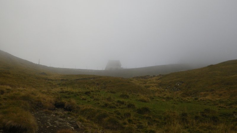
ourselves. Also because the gondalla was closed we had to hike up a steep 500m trail to get to where most people begin, and then
plunged into the fog. As we
hiked further up to the start of the route the fog cleared a little so that we could see the gondala top station better than when we had been standing
right next to it earlier, though the weather still looked "iffy". The route has two bailout points along the ridge so we decided to give it a go,
hoping the weather would not get any worse.
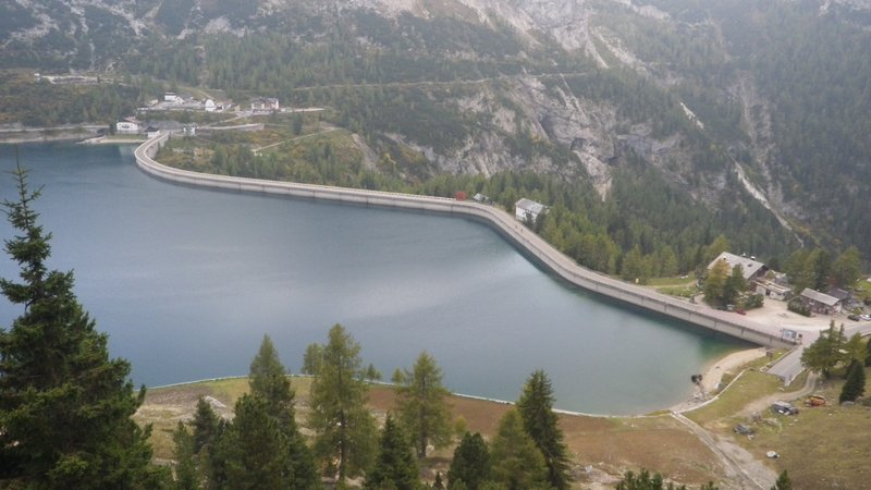
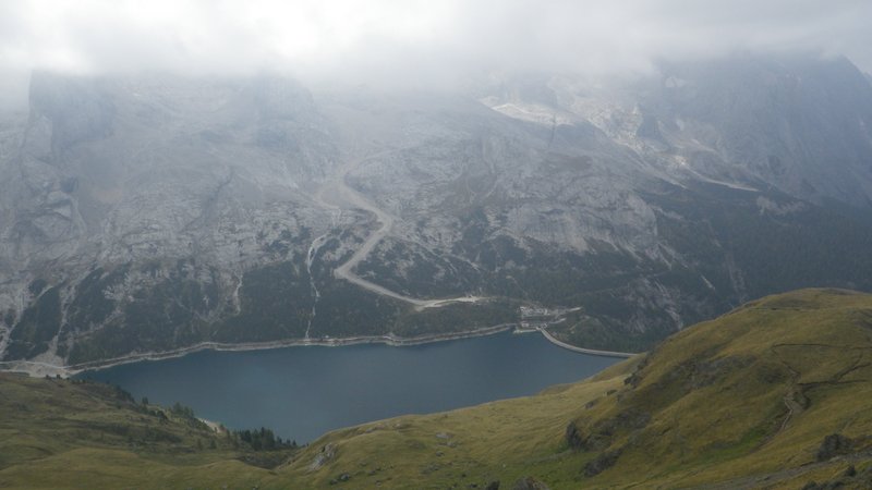
Start was parking beside this reservoir.
Gondala top station in the fog.
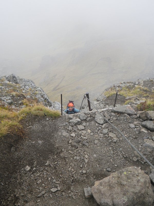
The first pitch of cable was very steep and with very few footholds. Climbing this was accomplished mostly by muscling up the cable. After that the
angle slackenned and the climbing was much more enjoyable. The rock on this mountain was volcanic with much different feel to climb than the
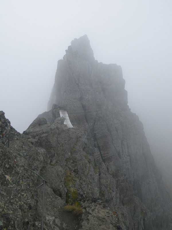
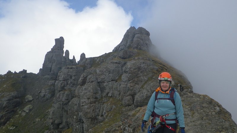
limestone encountered on all the previous climbs. Once on top, we traversed knife edge ridge with spires towering over us. A final very awkward set
of down climbs brought us to the conclusion of the initial section and the first bailout point.
Completion of the first pitch of very steep slabby climbing.
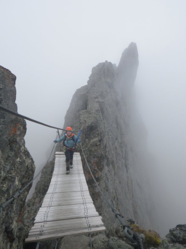
Climbing along a knife edge ridge.
Handy bridge.
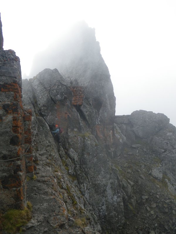
The weather had not changed significantly so we decided to keep going. The second section took us on some exposed traverses past various ruins from
the war. Lots of short ups and downs, along more ridgeline, and then some really steep awkward downclimbing brought us to another col and an old
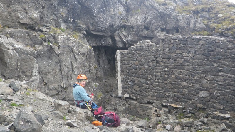
ruin of a building where we had lunch. We explored some tunnels here that were not part of the route, but interesting none the less.
Passing old war ruins.
Lunch in a bunker.
Looking down at the reservoir from the top.
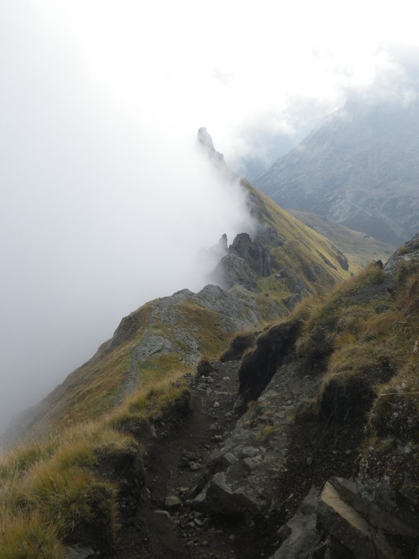
The last section of the route was mostly a walk along the ridge. Occasional wires helped when traversing exposed areas, or on the short scrambling
climbs and descents encountered.
A few tunnels presented themselves to be explored as side trips and then the route went directly through a short one.
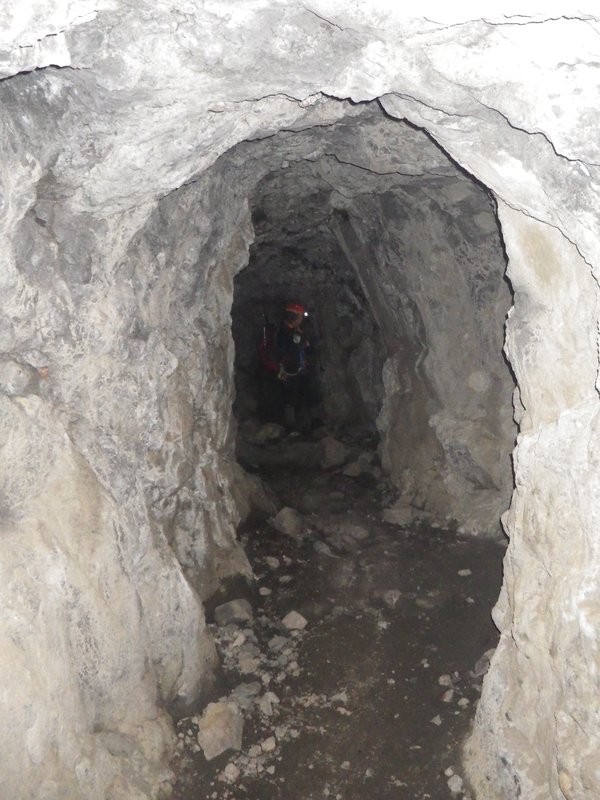
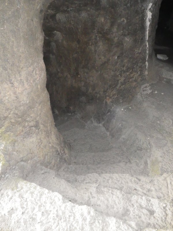
Quite a bit further along, the route went through a final tunnel system which was quite lengthy and full of side tunnels, galleries, and stair cases
carved directly into the rock. We popped out at a very well equipped bivy site, took another short break and then began the descent to Padon Hut
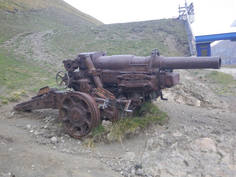
where a rusted old cannon remains.
Hiking along the ridge.
Valley to the right, infinity to the left.
Going through the mountain.
Underground stairway.
Big old cannon.
We followed the hiking trail back below the ridge and when we finally reached our descent gully, found a path that descended directly into it,
following sheep trails until we hit the main hiking route back down. Here we saw the first and only people of the day, all hiking or mountain
biking off in the distance. Another forty-five minutes of steep trail brought us back to the car and the end of the climbing part of our
vacation.
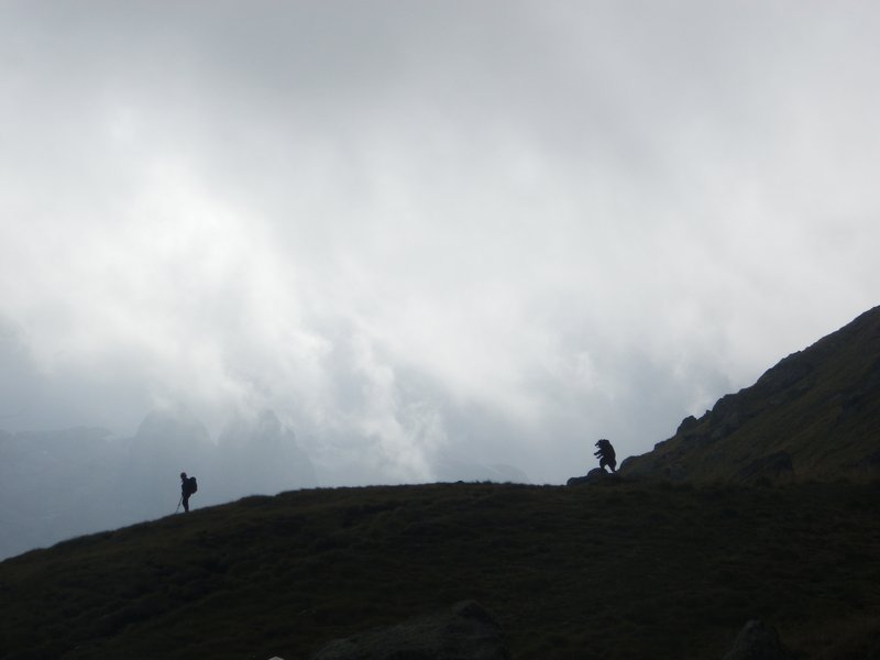
Italian bear chasing Katharina off the mountain.
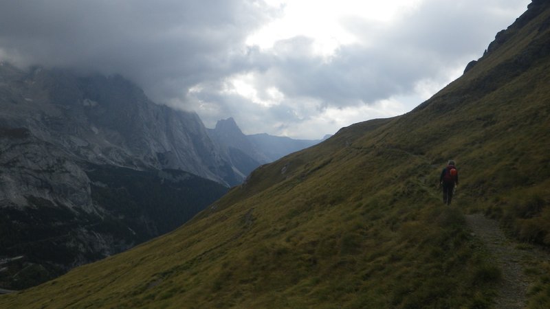
Hiking back.
The End
[Home]
[Main]
[Prev]