Ottawa to Fredericton - Day 2
[Home]
[Main]
[Prev]
[Next]
Saturday, September 8 - Ormstown, QC - 149 km
It remained hot all night. It also got very windy making it difficult to sleep. In the end I figure I slept a
sufficient number of hours and I got up just before 06:00 as dawn began to break. I cooked up a bunch of potatoes and
the other sausage for breakfast. Chased the lot down with an apple and a handful of wine gums. Hit the road around
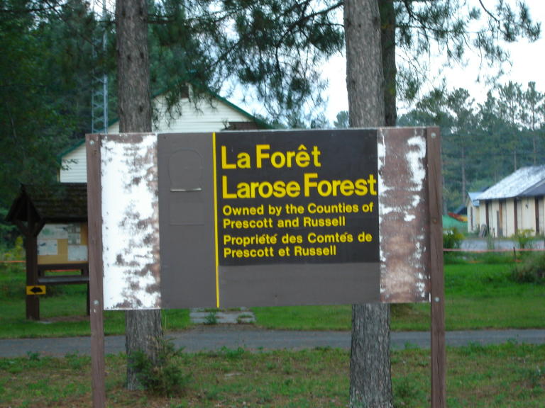
07:30 and zig-zagged south-east pulling out of the forest and into areas of farm land. Today I had three goals. Find
water, buy a phone card, and ride at least 140 km. All three were met with success. First water. I was running low
after dry camping last night and drinking plenty because of the heat. I rode for a couple hours without passing a
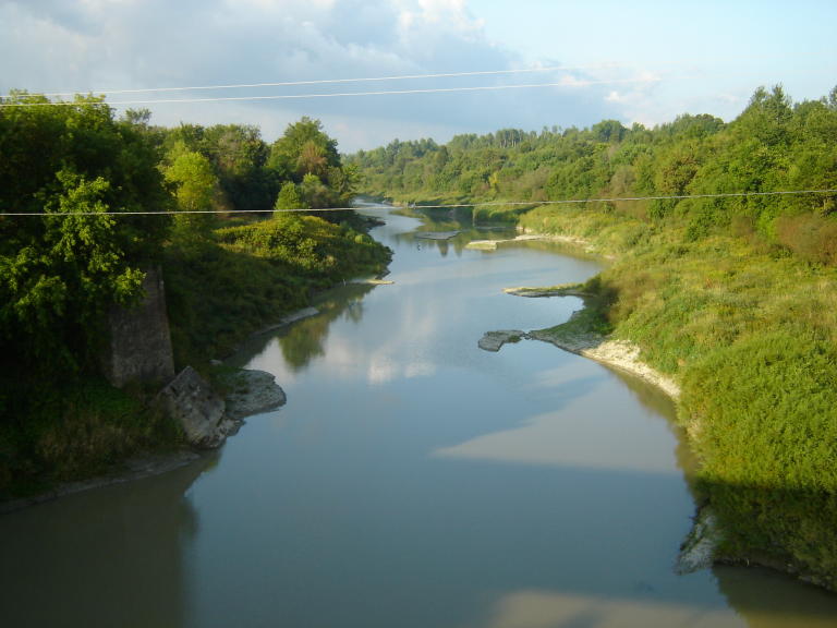
single town. I also passed several streams but they were completely dried up. I crossed a river, but it was so full
of mud I decided not to draw water from there. I finally reached a town with one tiny store, and ended up purchasing
2L of bottled water, something I was none to pleased about, but I was near empty so my hand was forced. I rode on. The
next town I stopped at a little store and bought a phone card. There was a sink in the back room so I asked if I could
fill my bottles. The cashier told me that it was not suitable for drinking. I think he just wanted to sell me water.
I did end up purchasing a phone card here though. Around Williamstown I was following a river. There I found a way
down to some small rapids and filled the remainder of my bottles. This will be a good test of my filter. Ther water
was clear, but bound to be full of nasties due to the cow fields around. I turned east on Hwy 2 at Lancaster and
rode past the Ontario tourist infomation stop on the 401 where I stopped for lunch on the picnic tables. I also filled
another 1.5L of water from the fountain here. I crossed into Quebec and was greeted by a tiny little sign and a
"Bienvenue au Quebec" spray painted on the road. The Route Verte bike path appeared and I took this for about 10 km
until it ended. Traffic began to get heavy, but it was slow. I crossed over a busy bridge onto Grande Isle and then
battled traffic to the south-western bridge. I stopped briefly in a park for a snack and then followed a bike path
up onto the bridge where there was a sign prohibitting bikes. I biked across anyway as it was short and the traffic
was being polite. Signs at the other side guided bikes onto another bike path connecting to the bridge. I looked back
and again, a sign prohibitting bikes. Go figure. I followed the 201 for the rest of the day. This was busier than I
would like. I cannot figure out where everyone is going though... maybe to the US border? I passed through Ormstown
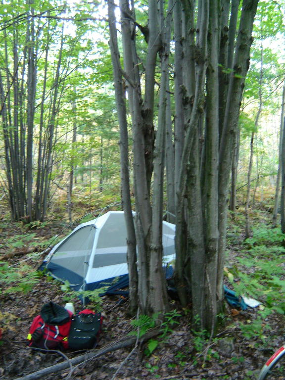
and began looking for a place to stay. I found a trail into a forest of mature maples. There were maple syrup saplines
everywhere, criss-crossing the trail and the woods, so I decided to move on. After about another 5 km, I found a skidoo
trail which I followed into a very young maple bush where I found a place to camp. There was lots of poison ivy on the
way in. I hope I managed to avoid it. Had a relaxing supper of noodles, broccoli, and fallafel, and then sat and read
my book for an hour as the sun set. It is cooling down slightly, but sitill very warm. At least the mosquitos are not
too bad here.
This was the first source of water... too muddy.

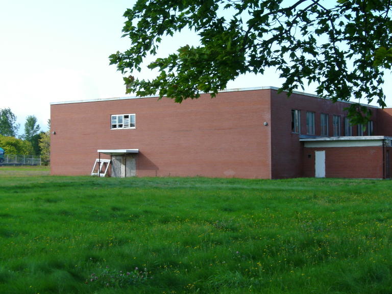
An abandoned school house.

This was the simplest provincial border sign I have ever passed.
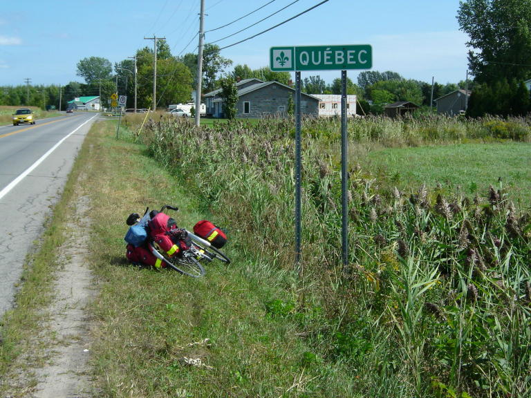
Fortunately, someone embellished it with a can of blue spray paint.

La Route Verte bike path.

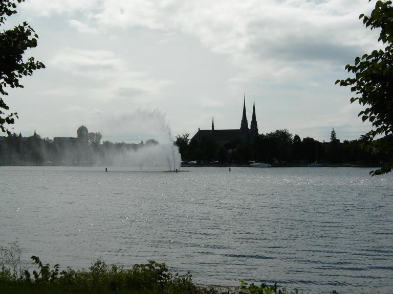
The St. Lawerence River.


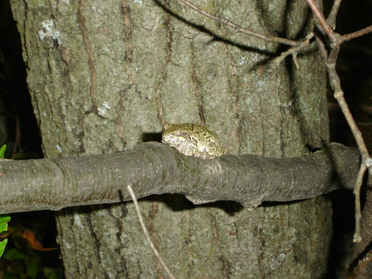
Tree frog at my campsite.
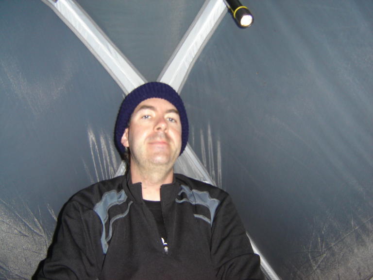
Hanging out in the tent after dark.
[Home]
[Main]
[Prev]
[Next]