[Home]
[Main]
[Prev]
[Next]
August 31, 2020 - Ishpatina Ridge, Peak 595
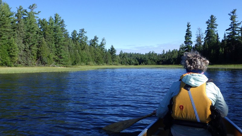
We woke up to a lovely but cool day and had a lazy breakfast. Today was an "acclimitization" day, so we set out to hike
an un-named peak, with a nosebleeding elevation of 595 meters. This peak lay to the west about three kilometers from
our camp, most of it which could be paddled. We canoed across a couple of small bays and then up a narrow and swampy
inlet where a short portage trail was supposed to be found. We did in fact find two signs marking a portage, but except
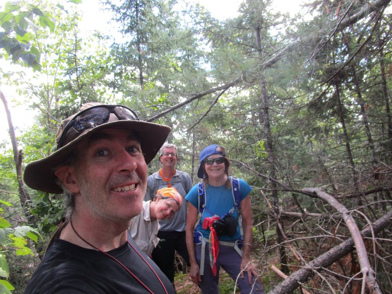
for a faint track leading into the bush, no actual trail was found. I whacked the hundred meters or so to the next
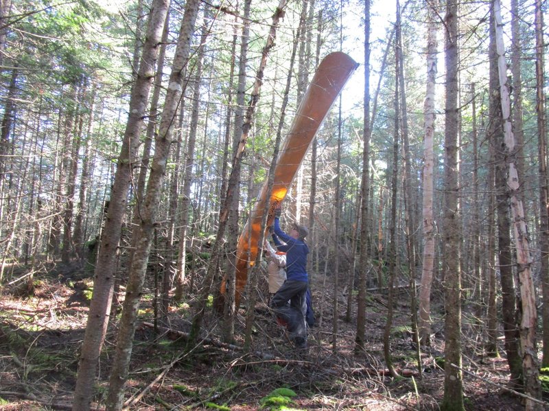
lake and then back via another route not finding anything, so there was nothing else to do but spend the next half
hour carrying the boats through the tangled mess of forest. After some awkward canoe/tree dance manouvers, we finally
pushed out the other side and ahad a nice paddle across Lake 381.
Swampy approach.
Dancing in the forest with a canoe.
Another portage is noted on the map here, this one
with ??? describing the distance. We beached the canoes into the tangled shoreline and then tried
unsuccessfully to find any sign of a trail. I now know that ??? means questionable existence rather than unknown
distance as there is definitely no trail here either. Our plan was to use the portage trail for about a kilometer and
then turn south for a short bushwhack to the summit, but since there was no trail anyway, that plan was abandonned and
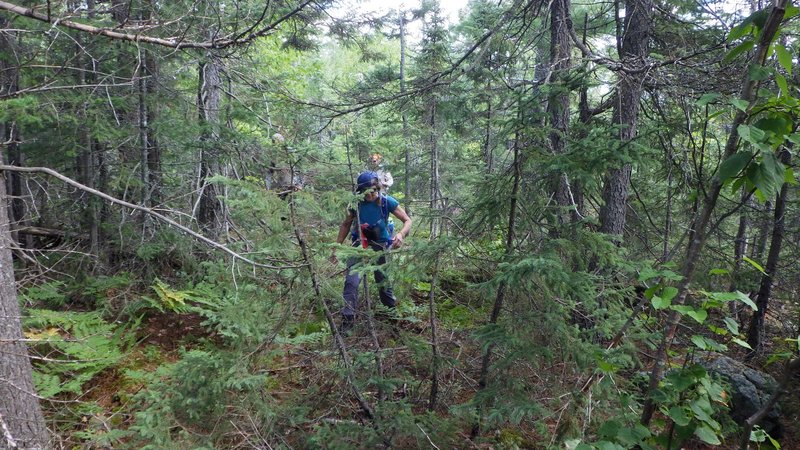
we just set a direct course from the side of the lake. The forest for the most part was fairly open, but occasional
blow down and thick spruce slowed us down from time to time. A small headwall presented itself at one point, but a
mossy chimney proved to be an easily surmounted weakness. After about an hour of hiking we reached the wide summit
plateau which was covered in very thick brush. We pushed on through this for a bit and I eventually decided to check
Deb's GPS to ensure that we were still on track for finding the actual top of the mountain. We still had 500m to go.
Some more pushing and scraping onwards, we found the lofty summit cone where we pushed upwards into the thin air. A bit
of debate about what was actually the highest point up here ensued, but in the end we decided to call the top of a
buried mossy boulder the top of the mountain.
Whacking along.
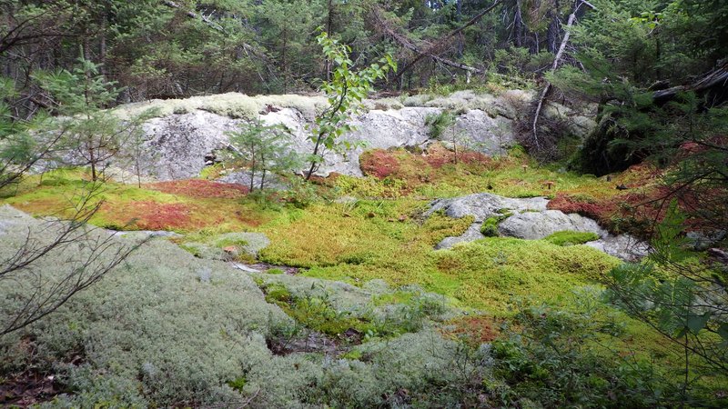
Pretty mossy area.
Summit of Peak 595.
After a couple of summit photos, we descended a few meters to a lookout,
where if you stand on tiptoes you could just catch a glimpse of Smoothwater Lake in the distance. We sat down to a
short break to celebrate our success and breath the thin air of almost 600m for a while in preparation for Ishpatina
summit two days from now. The descent went fairly quickly, and in less than an hour we were back at the boats. We
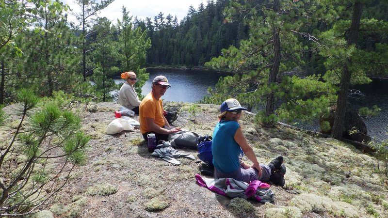
explored a rocky outcrop along the shorline of Lake 381 and this proved to be a much more spectacular place for a break
for about 1/50th of the effort compared to Peak 595.
Much nicer lookout along Lake 381.
On the way back to Smoothwater Lake, I actually found a horrible
trail, which was slightly easier to get the canoes through then the paddle-whack from the morning. Easier by just a
slim hair due to a huge blowdown obstacle.
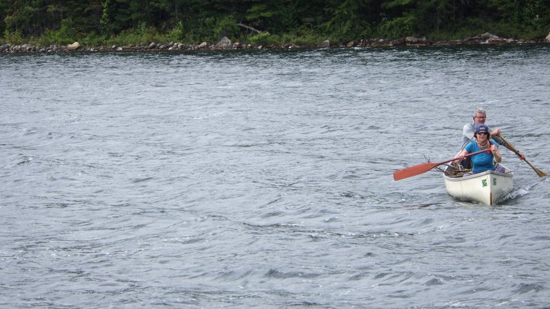
Nevertheless we got through this and were soon paddling back to camp across a very windy and not so smooth, Smoothwater
Lake. Arrived at camp in the choppy waves in time for lunch number three after a five and a half hour outing.
Returning to camp in the chop.
[Home]
[Main]
[Prev]
[Next]