November 9, 2020:
October 31, 2020:
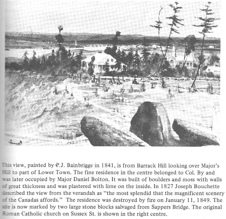
Keywords: P. J. Bainbrigge, Major Daniel Bolton, Joseph Bouchette (Surveyor-General, surveyed much of the Gatineau area).
October 30, 2020:
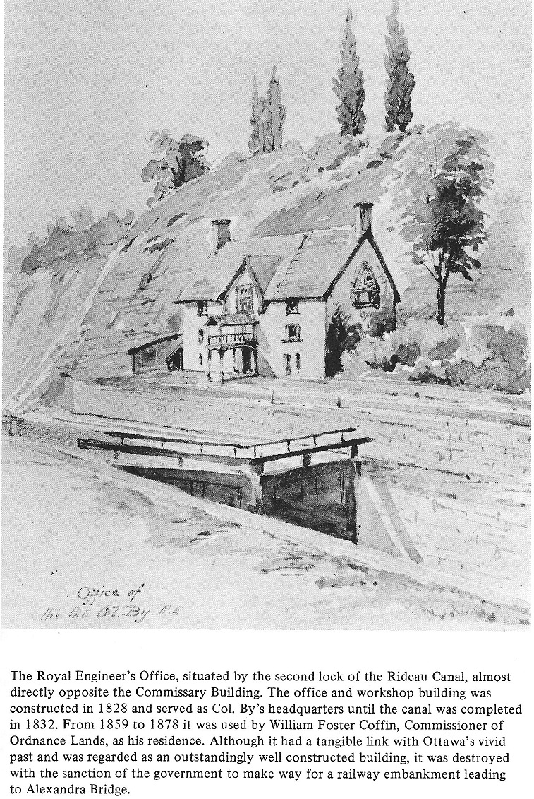
October 11, 2020:
Photo Source: Ottawa Past and Present 1927, by A.H.D Ross,
Reprinted by Global Heritage Press, 2007, ISBN 978-1-897446-00-3, page 86. Water Colour by Thomas Burrowes

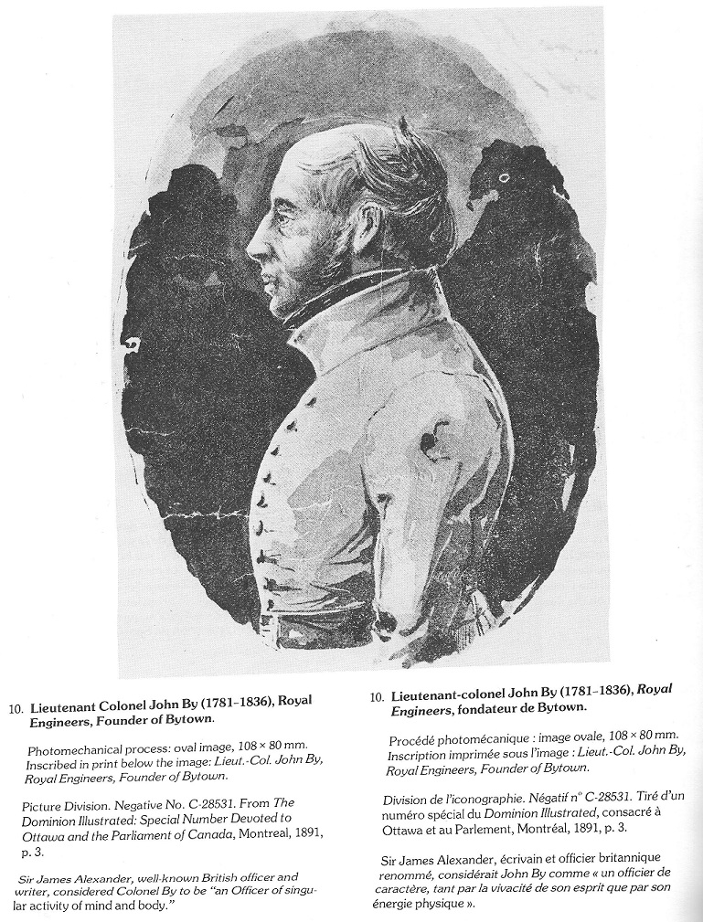
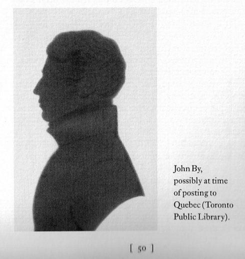
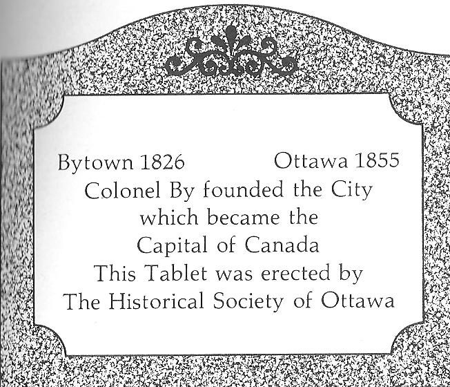
The drawing (below left) of Lieutenant Colonel John By is from For King and Country: Lieutenant Colonel John By, R.E., by Mark Andrews, 1998, ISBN 0-9684014-0-6, page 50. The Photograph of the tablet, (below right) lies at the base of a statue of Colonel By in downtown Ottawa. The tablet was erected by the Historical Society of Ottawa.
September 11, 2020:
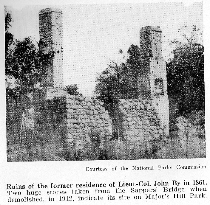
Hello, Iíve been searching the web to find where John Byís Estate was. Apparently some of my ancestors lived on the estate in the late 1860s. Do you have any idea where the property was? Thank you! Rebecca Macdonald _____________________ Al, Thank you for your response to my e-mail! It would be awesome if you could get your hands on that map. I did see a map with the Sparks property noted. If only those men knew what their property would look like today Ė I guess itís beyond any imagination during their day! Yes, you can add my e-mail address. Are you aware of any directories for Ottawa from the time 1868 to 1880? That is when our family (James and Elizabeth Connor) lived there. Actually . . . another branch of our family John "Charles" Bacon + Annie Beatrice Bartlett also lived in Ottawa at the end of 1800s and early 1900s. They were married in St. George's Church on April 26, 1903. I don't know when they came to Canada. Charles worked for the Ogilvy family of Montreal and Annie was the lady in waiting for Lady Minto before Annie got married. After Charles and Annie got married they lived on the Ogilvy property (in Montreal) as Charles continued working for them for many years. If you have any resources that can help me find which boat they came from England on that would be awesome too. Thank you! ... Rebecca _____________________ Rebecca, here is a map showing the extent of the By estate in downtown Ottawa. Barrack's Hill is where our Parliament Buildings are today. The By estate was bounded by Maria Street, now Laurier Avenue to the north, Bronson Avenue on the west (Concession Line Road on the map), Gladstone Avenue to the south, and the Rideau River in the east. ... Al

May 31, 2008:
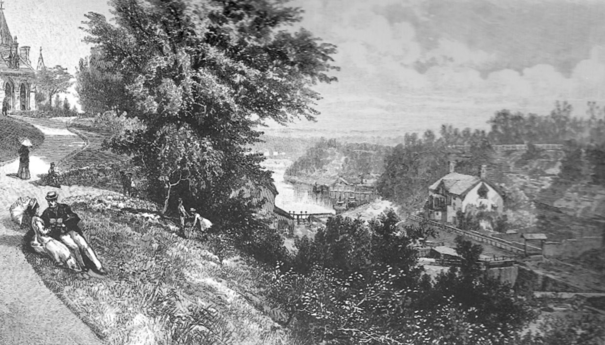
October 27, 2009: I believe that the following sketch shows Colonel By's house on the east side of the head of the Rideau Canal locks. The commisariat building (out of view) is across the canal locks to the west. It is now used as the Bytown Museum. The East Block of the Parliament Buildings is on top of the hill, on the left. Source: Selections from Picturesque Canada, An affectionate Look Back, Sketch number 32, from the Original Illustrations and Text of 1882-85 Pandora Publishing Company, Victoria, B.C., 1975 (no ISBN)
January 21, 2011:
July 31, 2014:
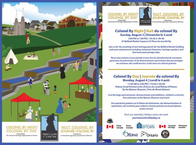 www.journeecolonelbyday.ca
November 18, 2014: Sometime in the early 1870's the estate of Colonel By was wrapped up by the executors. In addition to his large holdings in Centretown, he may have held land where the Central Experimental Farm is located today.
March 31, 2015: We have a new web page for the Royal Sappers and Miners at the Rideau Canal.
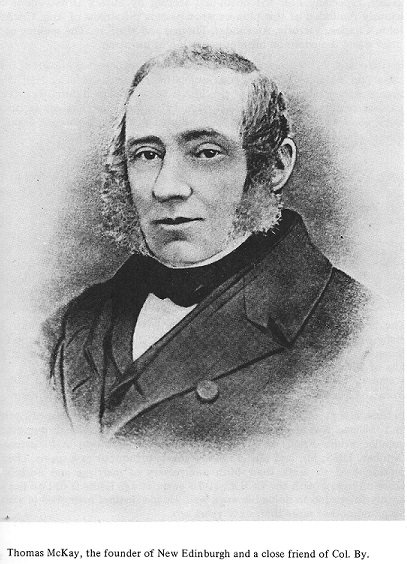
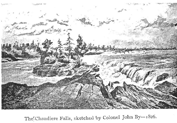
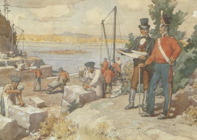
August 15, 2020: Source: Building the Rideau Canal: A Pictorial History by Robert W. Passfield, page 131. This watercolour was painted by C.W. Jefferies long after the canal was completed and depicts Colonel By in full dress uniform and the contractor, Thomas McKay, at the Entrance Valley locks where Royal Sappers and Miners are working. Although there are several inaccuracies depicted, this is an excellent representation of the work carried out.
Back to Bytown or Bust - History and Genealogy in the Ottawa, Canada area