Hike to Rifugio San Marco
[Home]
[Main]
[Next]
September 21, 2019
After spending the last day and a half in Munich, Kat and I drove through Austria and down to northern Italy. We arrived in San Vito di Cadore in the
early afternoon and checked into a cute little apartment. To get some elevation under our belts and into our lungs, we decided to go for a hike
right from the doorstep. A short walk up the road brought us to a parking area where a sign stated that only foot traffic was permitted beyond this
point. We continued up the road for another while and passed a hotel with another large parking area, and then further up the road, another
parking lot full of cars, and yet another sign stating that only foot traffic was allowed past this point. (I guess they really did not mean it the
first time).
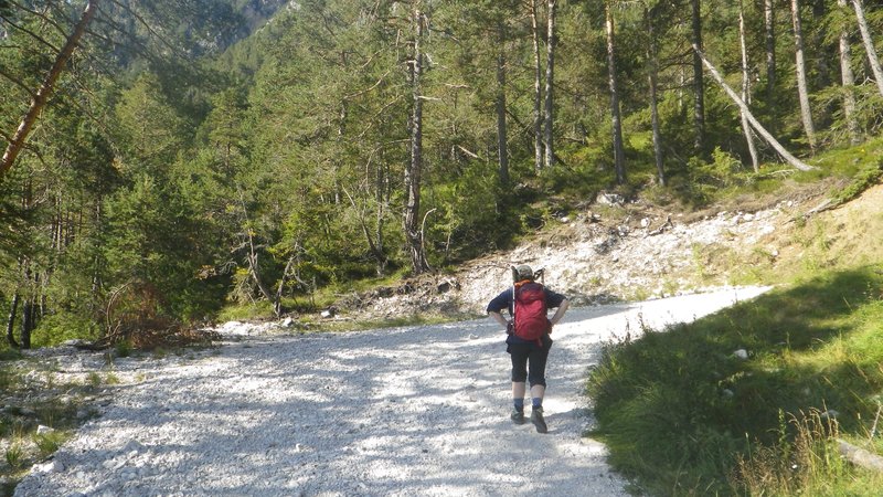
The road here turned to gravel, and was a steep switchbacky walk up the mountain. A few places had a trail that went through the woods which was
a little more interesting, but mostly the path stuck to the road. We met quite a few people coming down, greeting us with a "Boungiorno" and stepped
aside to allow several mountain bikers pass as they screamed down the hill. After about two hours, we reached Rif Scotter which was closed and under
construction, but from here we could depart the road onto a much more interesting hiking path. We reached yet another parking lot where the trail
itersected the again road up higher with about ten cars in it, and no further road from this point on. I guess they really mean it here when they say
"foot traffic only".
Slogging up the roadway.
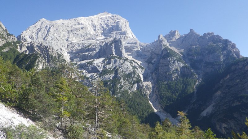
Lovely views on the way of surrounding peaks.
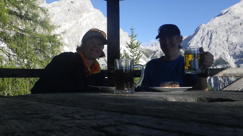
A steep, rooty, forest scramble brought us up to Rif. San Marco where we bought some beer and apfelkucken to be enjoyed in a little picnic shelter
overlooking the valley and some lovely peaks to the south. Not wanting to walk the road again, we studied the map and saw that there was another
trail that would take us down just a couple kilometers north of the town.
Beer and apfelkucken with a view.
We followed this, crossing a sketchy scree slope, and then the trail went
straight down the mountain. A fairly relentless, 800m drop made for a quick, but tiring elevation loss. For some reason we did not
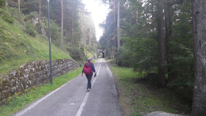
see any others on this trail. Finally, as our pounded knees were screaming uncle, we reached the bottom, finding a bike path which provided for a
convenient route to walk back into town. We made a quick stop for groceries at the alimentari, and then climbed back up to our appartment where we
cooked up a pasta supper, washed down with some lovely local red wine.
Returning to town.
[Home]
[Main]
[Next]