Table and Peekamoose
[Home]
[CAT35]
[Main]
[Prev]
[Next]
October 8, 2019
Today nine of us planned to do a Table/Peekamoose traverse between Denning and Rte 42. Paul was to lead a group of four in the southbound direction,
and Bill and I were leading a group of five in the northbound direction, swapping cars to avoid the shuttle. Paul's group left 30 minutes ahead of
us, and then my group drove to the trailhead in Paul's car. Upon arrival, Dianne suddenly states... that's my car!
After some confusion, we realized that Paul's group must have gotten mixed up and had started at the wrong trailhead.
We left a note on the car, and drove to the northern trailhead, where we started
in the southbound direction.
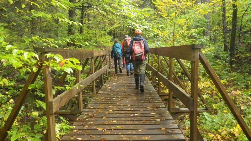
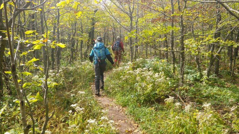
A gentle trail brought us through the forest to some well constructed, but slippery bridges over a couple of streams and then we started
gradually climbing up Table. The
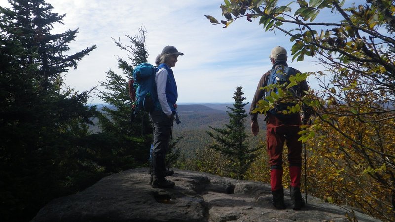
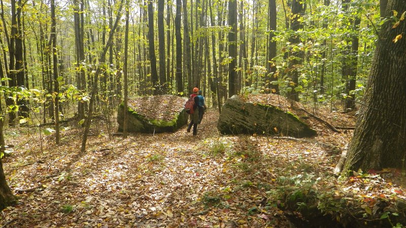
trail had lots of interesting rock formations that we stopped and examined. Just before the false summit, we stopped at a small lookout to the west
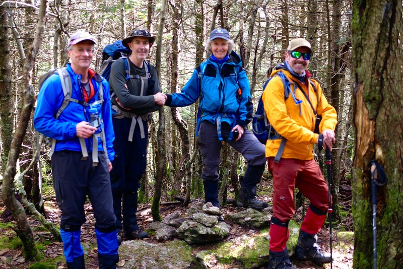
where we took our first break. Continuing on upwards, we ran into who was now team northbound, and stopped for a chat and very firm confirmation
about where they were to find their car at the end of the day.
Well made bridges.
Yogi Dianne on the way to Table.
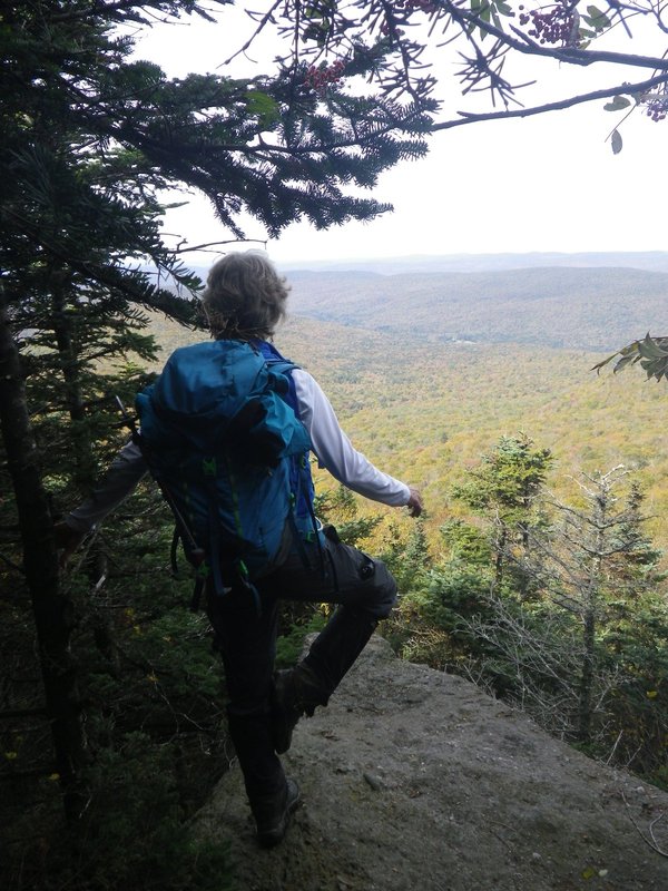
We continued on a little further to a lookout before the summit, and then Dianne, Marcel, and Judy scooted ahead where I told them to wait at the
top. Bill and I got sorted out, and then followed and quickly reached the top, which was a pathetic cairn in the woods. We took a summit photo and
then sped off down the trail. We finally caught up to the others as they were heading down, who then asked us where the summit was. When we told
them, there was insistence on going back for a proper photo, which we did. Bill declared that "This is the most pathetic summit I ever have hiked
back to!", and shortly thereafter we arrived and a paparazi of photos ensued.
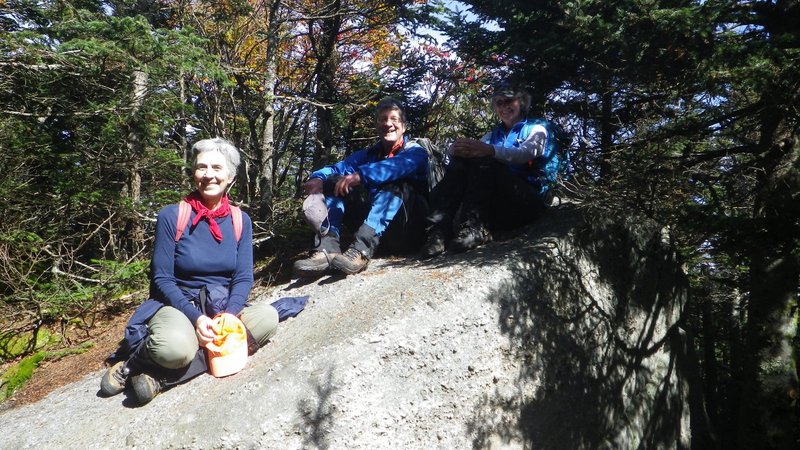
The impressive summit of Table.
We traversed back this stretch of trail a third time, and soon were climbing up Peekamoose. At the top was a big boulder where we posed for more
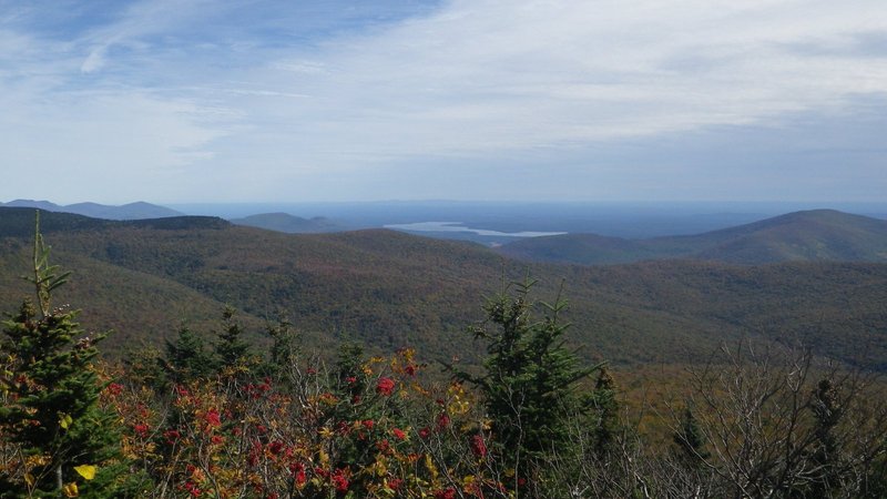
photos, and then went out to a lookout which gave us a great panoramic view to the east. We stayed here for a while for lunch and to relax in the
warm sunshine, drying our boots from the wet bushwhack day on Sunday.
Summit rock of Peekamoose.
View from Peekamoose.
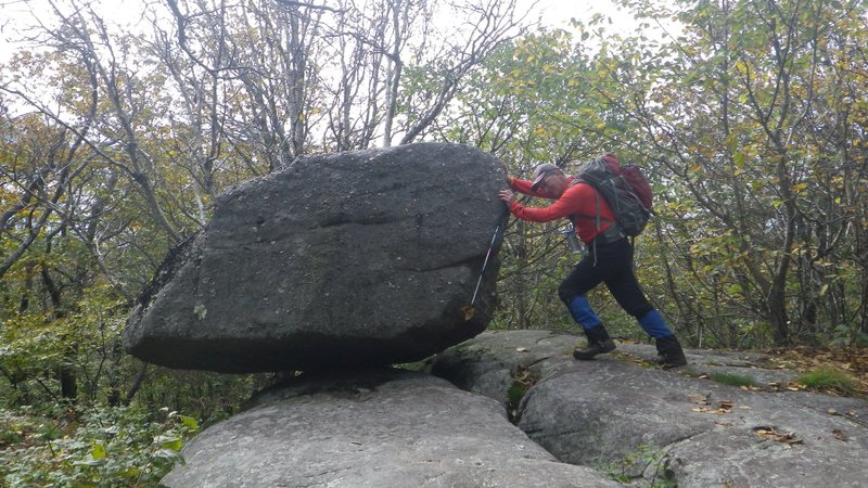
The descent was fairly gradual, but with lots of interesting rock formations to look at. The coolest one was something called Reconnoiter Rock,
which is a balanced glacier erratic, with the illusion of a small birch tree as its only support from rolling off the mountain. We spent our last
break here, playing around the rock, trying to push it off, and scrambling to its summit. Another hour of walking downwards had us back at the car,
ending a hike which turned out to be just under six hours.
Along Peekamoose ridge.
Yet another lookout.
Bill unsuccessfully trying to restore balance to the universe.
Descent to Route 42.
[Home]
[CAT35]
[Main]
[Prev]
[Next]