[Home]
[Main]
[Prev]
[Next]
September 2, 2020 - Ishpatina Ridge, Ishpatina Peak and South Peak
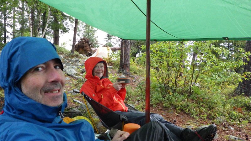
It poured rain most of the night. It continued raining into the morning so a long lie in the tents was in order.
Finally, it appeared to be slowing down so Deb and I got up and huddled under a dripping tarp for an hour while sipping
hot coffee. A break in the rain and a brief ray of sunshine had me mixing up some pancake batter for breakfast, though
as soon as I got the fry pan heated up it started pouring again. Breakfast was a little soggy.
Lazy and wet morning coffee.
Feeling cold, I
retired to the tent for an hour to read and warm up, but then another slight clearing had us packing up for a hike. Kat
decided she did not want to go, so Bill, Deb, and I piled into one canoe and set out for a suitable Ontario style
alpine start of just after 10:00. Fifteen minutes later we were at the old fire cabin site to start our climb and
followed the well trod and marked path through the bush. We passed a series of small pretty lakes as the trail got
steeper around the halfway point. The sun even started shining briefly as we topped out onto the highest point in
Ontario.
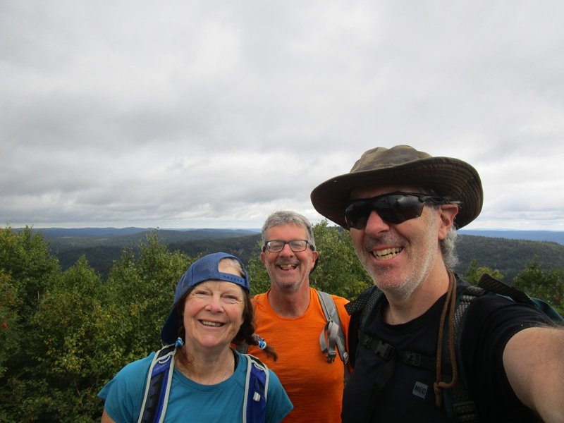
Trail to the tower.
Summit tower.
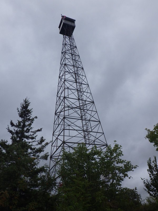
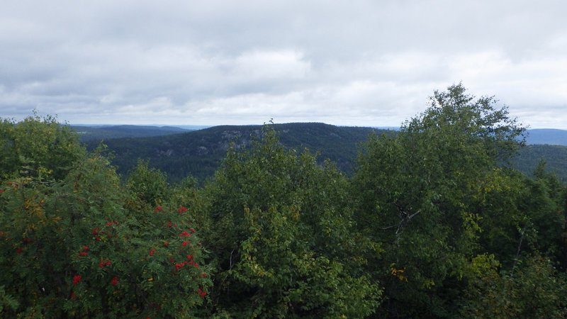
We took some photos at the summit boulder and then went out to the tower where there was a nice view of the
surrounding lands. North Peak looks quite interesting with a long rocky cliff top which we plan to explore on Friday.
Deb opened a box which we had assumed to be the summit register, but turned out to be a memorial to Robert Smith. It
clouded in again and we sat down for lunch in our rain gear expecting another soaking, but it never materialized.
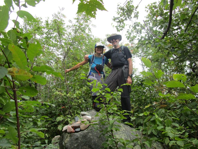
Despite the gloomy weather, everyone was game for South Peak so I reached for my compass and realized that I had
stupidly left it back at the canoe, firmly attached to my life jacket. Deb to the rescue though, she procured hers
from the top of her pack and handed it over for me to lead the bushwhack.
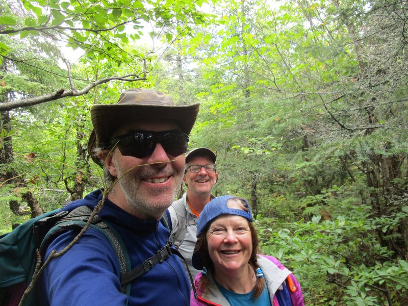
True summit of Ishpatina.
Summit lookout.
Looking over at North Peak.
We hiked down the mountain in thick ferns
which made travel very slow since seeing where to place your feet was difficult. We skirted around a small cliff and
finally found ourselves in a swampy area at the col. Here I adjusted the bearing and we began the climb up South Peak.
In a short while we came to the top and set about looking for the summit. A tiny break in the trees gave a view of
Ishpatina Tower, which allowed us to shoot a bearing and determine that we were only about 100m east of the true summit.
We continued following a moose path, and after about 100m came on top of a little bump and gave a cheer. Here we
checked Deb's GPS and it said we still had 50m to go, so we pushed through the brush a little further and topped another
tiny little bump which we once again celebrated a summit victory. It was unclear whether a mud pile or a boulder was
the true highest point, but we chose the boulder as it was (slightly) more asthetic.
South peak summit. The stick up my nose is very fitting.
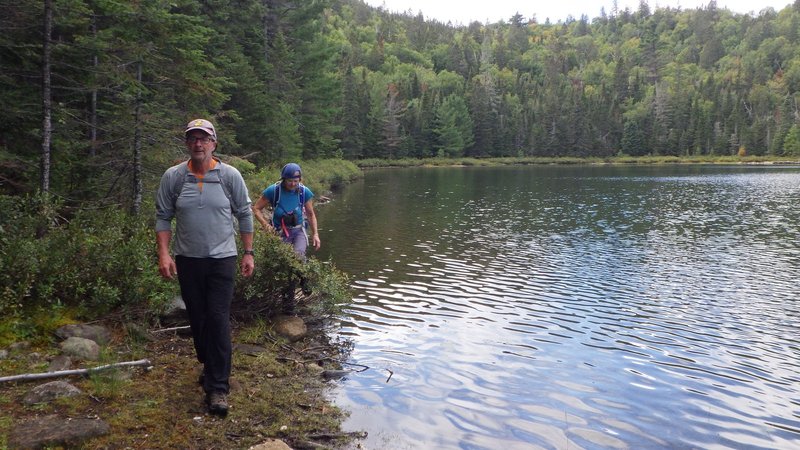
Descent was a due east whack down
an open drainage to Dick Lake or Halfway Lake depending on which map you chose to believe. Here we took a final break
along the pretty shoreline before scampering the rest of the way back down the trail. The paddle back to camp was
choppy as the afternoon wind was quite brisk, but in a short burst of three person paddling effort we were back in time
for afternoon tea after this five and a half hour outing.
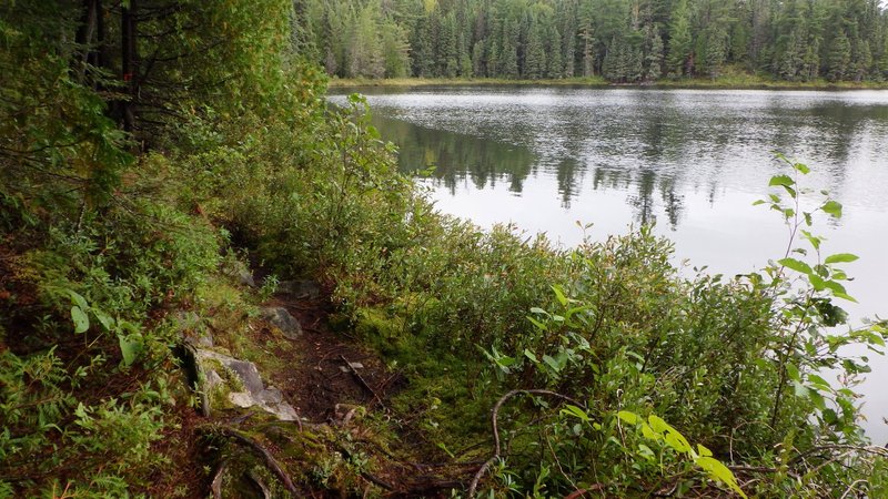
Hiking along Dick Lake on the return journey.
[Home]
[Main]
[Prev]
[Next]