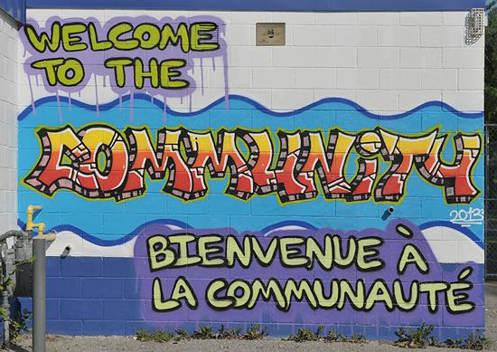
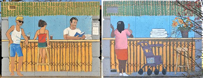
[Map] 2679 Innes Road on the pool building in Bearbrook Park

[Map]
2679 Innes Road on the pool building in Bearbrook Park
[Map]
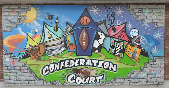
2483 Walkley on the Confederation Court Community House
[Map]
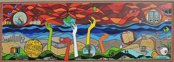
2036 Ogilvie - Ottawa Public Library Gloucester branch: many hands reaching for knowledge all over
the world. Co-ordinator: Nicole Belanger
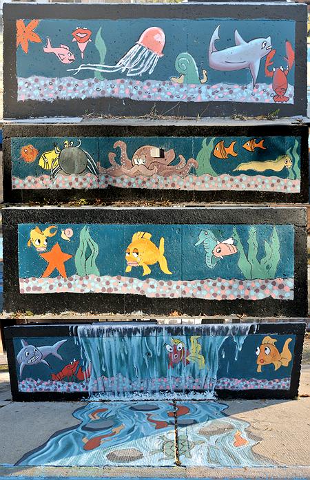
a mix of sea creatures and a painted waterfall on four sides of a pump house next to a
wading pool
[Map]
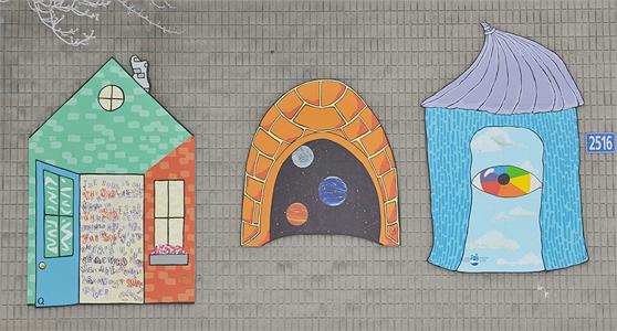
33 Quill - Overbrook-Forbes Community Center; 2 sides of a storage shed near the pool
[Map]
Alta Vista library

[Map]
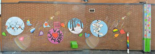
181 McArthur - Louis Pizza.

[Map]
a narrow alley between 89 & 99 Montreal Road co-ordinated by Nicole Belanger
[Map]
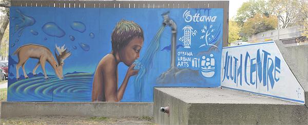
201 Friel - Lowertown Community Resource Center: clean water is the center of life.
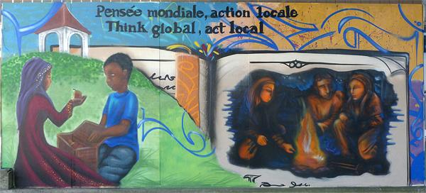
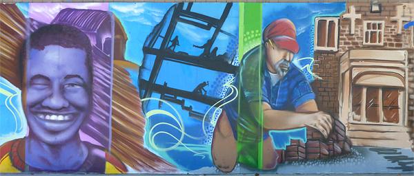
these two were originally done for a field house in nearby Jules Morin Park - they were
moved to 201 Friel after the field house was demolished
[Map]
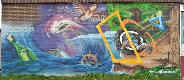
Mann Ave & Chapel St: nature overturned by catastrophe ending with a plea for help in a
bottle.
[Map]
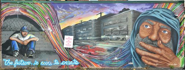
35 Waller - Union Mission: a powerful portrayal of the hopelessness of the homeless. A fractured
rainbow separates the homeless from those with homes; the "No trespassing no loitering no
activities of any kind" sign posted by Gilad Parking epitomizes their rejection by society. You'll
only see it this way Sunday morning; it's blocked by cars other times

[Map]
147 Besserer - Youth Services Bureau.

[Map]
1024 Walkley: Riverside Park utility boxes
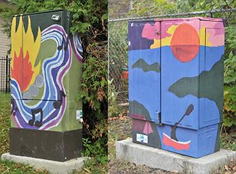
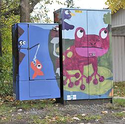
[Map]
2697 McCarthy,
[Map]
723 Fielding,
[Map]
2617 Flannery.
These are custom printed on vinyl which is then bonded to the boxes, at an installed cost of
$440. per box.


[Map]
320 Jack Purcell Lane - a row of murals on the rear of Elgin street buildings facing the Jack
Purcell Community Center. The first three were done by the Elgin Street Pub, the others by Paint it
Up! The lane is jammed with cars, delivery trucks and garbage so the murals are blocked almost all
of the time.

[Map]
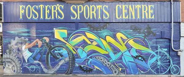
110 Murray, the back patio of Operation Go Home
[Map]
305 Bank - a Christie Lake Kids project
[Map]
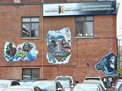
150 Gloucester - Operation Come Home.
[Map]
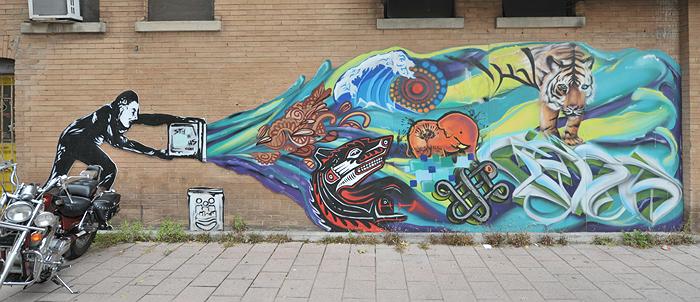
409 Cooper: a paint bucket transforms into images of many cultures. The motorcycle isn't part of the
exhibit, but I couldn't resist the juxtaposition!
[Map]
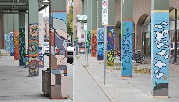
420 Cooper - Seasons of Centertown by the Centertown Community Health Center (2010)
[Map]
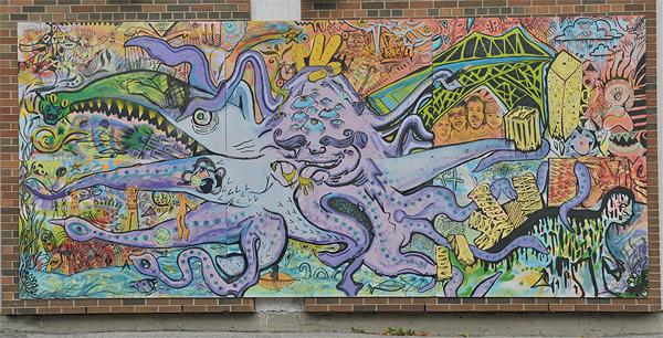
160 Percy - Richard Pfaff Alternate School.


[Map]
Laurier & Bronson - Nanny Goat Hill Community Garden. The playful garden creatures (top)
are visible to all; the lower less-relevant image hidden behind. (The north side of the hill is the
Tech Wall)
[Map]
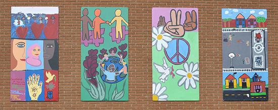
Debra Dyne Family House, 939 Eiffel

[Map]
Booth & Gladstone - outside west wall of Piazza Dante Park by the Somerset West Community Health Center (2010)

[Map]
107 Chesterton - General Burns Park
[Map]
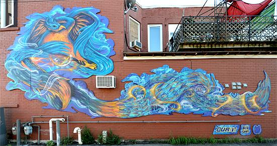
224 Carruthers, on Charlie's Groceteria

[Map]
12 Stirling - Ottawa Native Friendship Center: images of the northern Cree.
Coordinating artist: Mike Young.
[Map]
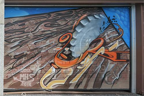
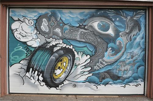
Merivale High Scool, 1755 Merivale, on two garage doors

[Map]
2026 Scott - Neighborhood Security and Beauty by the Granite Curling Club of West Ottawa (2010)
[Map]
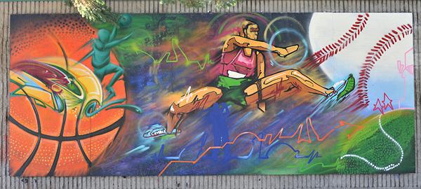
76 Larkin - Larkin House: sport soaring over all by the West Barhaven Community Association (2010)

[Map]
St.Daniel School, 1313 Field, on a transformer station wall
[Map]
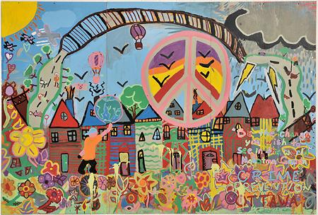
6 Lisa - Lisa Park portable

[Map]
2570 Regina Lane - Pinecrest-Queensway CHC
[Map]
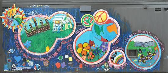
1065 Ramsey - Fostering Peace & Safety by the Pinecrest-Queensway CHC. Coordinating artist:
David Cation

[Map]
2924 Carling - a derelict alley beside R&V Specialty Foods.
[Map]
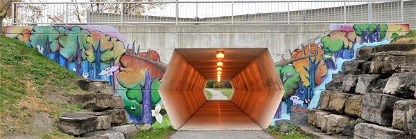
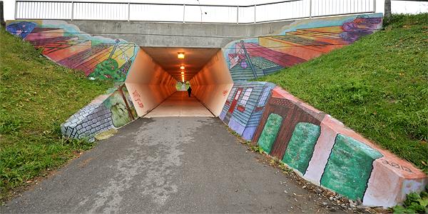
pedestrian tunnel under March Road at Petrie Lane. Co-ordinator: Nicole Belanger