Wildcat - Peak D (and E, F, ...)
[Home]
[Main]
[Prev]
[Next]
March 15, 2024
It rained all night and was still coming down hard as we got up and did our morning routine. Breakfast at CoHo was
relaxed and fueled by far too much weak coffee as all thoughts of climbing ice drowned with the torrents of water coming
down the Saco river. Our plans turned again to hiking. The weather forecast noted that the rain should stop around
noon, so we decided to poke around some shops in North Conway before heading out. Bill and Karen decided they would
hike Chocorua, while Grant and I set our sights on a peak known as Wildcat D.
We drove into Pinkham Notch and found the main trailhead along the Appalachian trail to be under construction
and not available. We continued up to the visitor center and parked there. In the notch, the rain from last night
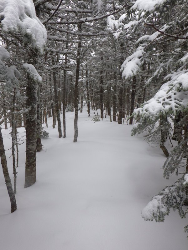
appeared to have come down as snow, and we found about 20cm of fresh powder so our snowshoes went on right at the start
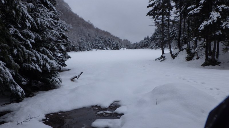
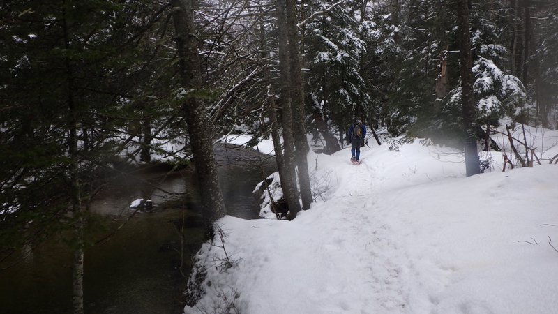
of the Lost Pond trail. This was a pretty walk along the side of a creek, past a large and now found pond, and after
a little over a kilometer of walking brought us to the AT. The trail from
this point went straight up the mountain.
Pretty walking along the stream to Lost Pond.
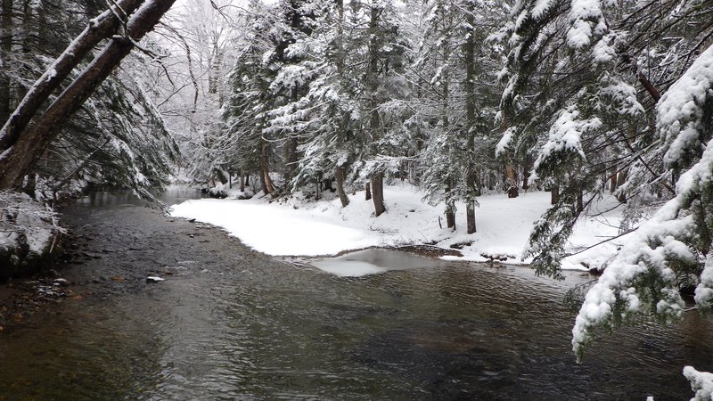
Lost Pond has been found!
We were following the tracks of a couple postholers and soon came across them during some of the scramble parts. They
gladly let us go ahead and then followed in our snowshoe prints as we broke trail. A steep chimney section had me pull
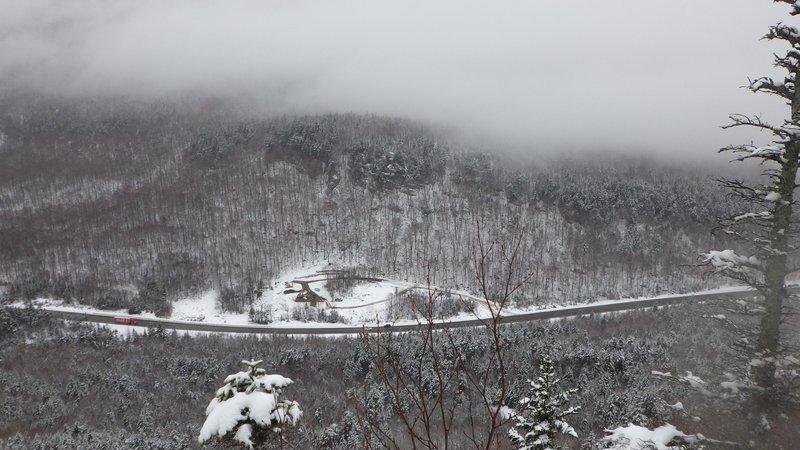
out my axe for security to surmount, and this brought us up to a lookout ledge above Pinkham.
Here we stopped for lunch as even though we had only been moving for about an hour, breakfast had been quite a while
ago. We chatted with the other two guys and learned that James and Stephen were from the Ottawa area as well. They
were planning to
climb up to a high point as a warmup for a few days of hiking they were doing based out of Harvard Cabin.
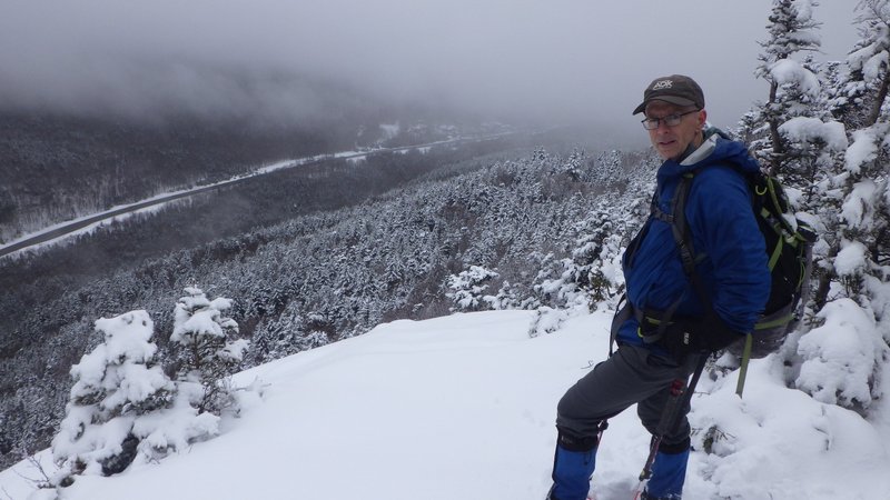
Looking down at where we had intended to park.
We continued on upwards of unrelenting steepness and into the clouds where some of the open slopes, snow, and fog
gave this little mountain a real alpine feel. We finally reached the first summit of the ridge, having left the other
guys quite a bit behind. Snow along the ridge was quite deep, but slushy as we
plunged downwards and then climbed upwards along the
numerous bumps of Wildcat. Each summit we figured "must be Wildcat E", but then another false summit would present
itself out of the fog. We lost the trail between Wildcat F and E and spent some time looking for it before the telltale
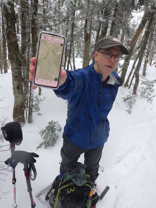
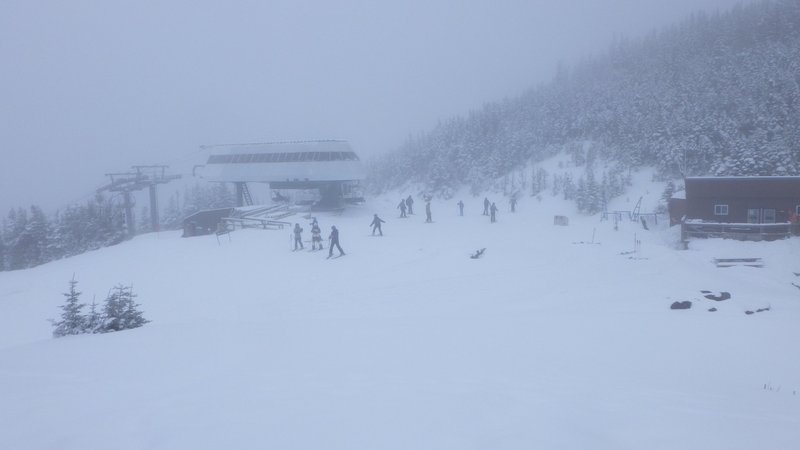
sign of a chainsawn log showed the way. At this summit we could hear the clunking noise of a ski lift and figured we
must finally be on top of peak E, where Grant even pulled out his phone to confirm the obvious. A quick decent
brought us to the top of the lift and a sign proclaiming this as the
summit of Wildcat at 4068'. Not believing this, we then climbed up another
hundred meters or so to the top of Wildcat D, where another sign indicated this as the summit of Wildcat, again at
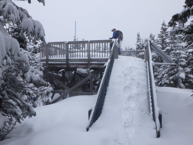
4068'. Given the top of Wildcat is actually at 4422' and about 3 km NE of here by my map, some fine bit of deceptive
marketing is going on here! Anyway, the marketeers provided us with a nice viewing platform
to look off into the fog, which also made a good place to eat second lunch.
Virgin snow along Wildcat ridge.
Yup, this lump in the trees is indeed the top of peak E.
We briefly contemplated sneaking onto the lift and riding down.
Summit platform of Wildcat peak D.
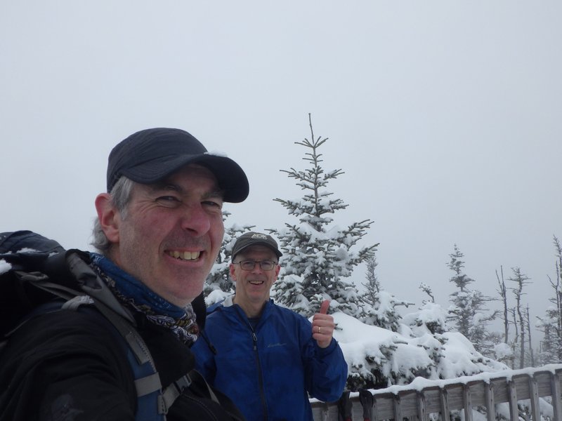
Picture or it didn't happen right?
The way back went much faster as we snowshoe skied down the bumps and made quick climbs over each one. We counted them
and figure we got through F, G, H, and maybe even I (depending on what you claim is a summit) before arriving at
the final peak where the incredibly steep descent began. It was this last peak where the Ottawa boys had turned around
and we followed their post-holes and butt slides downward. My bones being a little older, I do not generally butt slide
so downclimbed most
of the steep and rocky sections in snowshoes, sometimes daggering into the snice and underlying mud with my axe head
for security. At the lookout ledge before the most tricky scramble, I switched to crampons
and scratched carefully down between a bare slab with my left foot and a
vertical rock face with my right. Grant managed somehow to pull this off in his
snowshoes. Finally the bottom was reached and I stashed the crampons for bare boots for the packed Lost Pond trail.
We found the pond a second time, and shortly after arrived back at the Pinkham visitor center where we met James
and Stephen again, cooking up their supper in the parking lot before heading out into the ravines. Our hiking time was
just over five hours for this jaunt, but with the late start it was almost our supper time, so we scooted back to
the hostel to meet Karen and Bill in time for a home cooked meal.
Grant contemplating the final descent from the lookout. I put my crampons on here.
Strolling along Lost Creek back to the trailhead.
[Home]
[Main]
[Prev]
[Next]