Isolation
[Home]
[Main]
March 31, 2018
Deb and I drove from Conway to Pinkam Notch and parked at the Glen Boulder trailhead. It was very windy and below
freezing so we immediately layered up before strapping on snowshoes to crunch our way up the trail. Unlike yesterday,
this trail was routed straight up the mountain, and we gained the first 1000' in very little time. Just below Glen
Boulder, we broke out onto open rock, which was bare of all snow and ice, so we put the snowshoes away and began
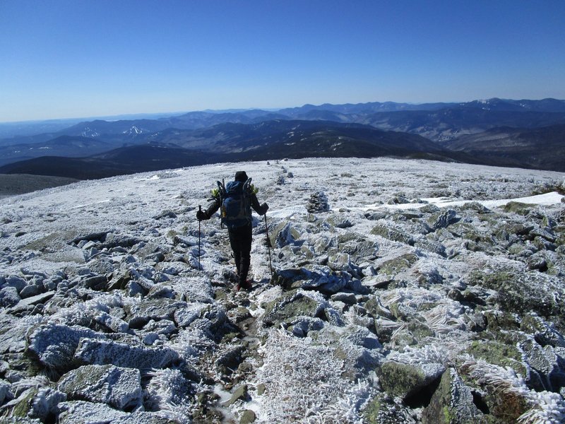
scrambling up the ridge in the glorious sunshine as we were buffeted by some very strong winds. I was worried Debbie
might blow away, so in the shelter of the boulder, we regrouped and we did a sanity check on our situation. Deb said
she was good to go, so we carefully picked our way up the ridge, stopping and bracing ourselves whenever the stronger
wind gusts threatenned to blow us off of our feet. We reached a section of trees, and while this provided a reprive
from the wind, the two meters of snow underfoot meant that we were bashing our way through the upper branches while
the well cleared trail passed below our feet. This had me cursing a bit, as I did not expect to find trees like this
at 4600' of elevation. Finally, after bashing and crawling our way through the mess, we broke out into the alpine on
the summit of Slide Peak. The wind was not quite as bad up here, but we still did not stay long. The rocks became icy,
so we changed into microspikes for the rest of the ascent to the Davis Path, where we greatfully turned our backs to
the wind and started descending. At treeline, we put the snowshoes on again and the the real challenge began...
attempting to follow an unmarked, untravelled path under two meters of snow. We lost the trail numerous times, but by
just continuing to bushwhack along the ridge, we always managed to pick it up again. At the summit of peak 4293 we
spent quite some time looking in the dense bush for the path, finally found it, and then managed to follow it down to
the Isolation trail junction. The last mile up Isolation was much easier going, which got even easier after passing
a well used bushwhack route which came in from the side and continued on the trail to the summit. We met our first
person of the day coming down who had come up the bushwhack route, but did not seem to know really where he was going.
We summitted shortly therafter and then found a small snowy place to sit on the lee side of the mountain for a well
earned lunch after the six hours of climbing we had just completed. Instead of following the bushwhack path back down,
we decided to stick to the trail and break it out... silly us, we were soon lost again and navigating by map
and compass. We regained the trail lower down, and then the bushwhack path also joined this route until it went off
on its own merry way to who knows where (likely the parking lot). Silly us a second time, we decided to stick to the
unmarked trail again and spent the next hour or so hiking, trail breaking, and bushwhacking until we got to the place on
the map where Rocky Branch Shelter #2 is located. We never found the shelter, but we did find a sign pointing to where
it should be, and another sign pointing to the river to be crossed over a sketchy snow bridge. We crossed over this
bridge which fortunately held, and then we tried with no success whatsover to find some trace of a trail on the other
side. Finally we just resigned ourselves to bushwhacking, which was the right move as travel was fast through the open
woods and supportive snow. After whacking for about a kilometer, we stumbled out onto the trail, untrodden, but now
easier to follow. A little while later, the main bushwhack expressway joined us and we kicked ourselves for not just
following this track in the first place. Oh well, we had a good adventure anyway. The remainder of the hike was just a
slog, but it turned quite fun when we hit the final descent slope and we snowshoe skied quickly down into the valley.
Arrived at the highway after about ten hours of adventure with smiles on our faces. Next task was to recover the car
which was parked about six kilometers north of our current position. A fortuitous moose made an appearance right in
front of us along the side of the highway which caused several cars to stop and take photos. In no time at all, Debbie
had secured me a lift with a family from Montreal. These friendly folk drove me back to the car and I returned to pick
up Deb and the gear, after which we drove back to the hostel for beers and home cooked food.
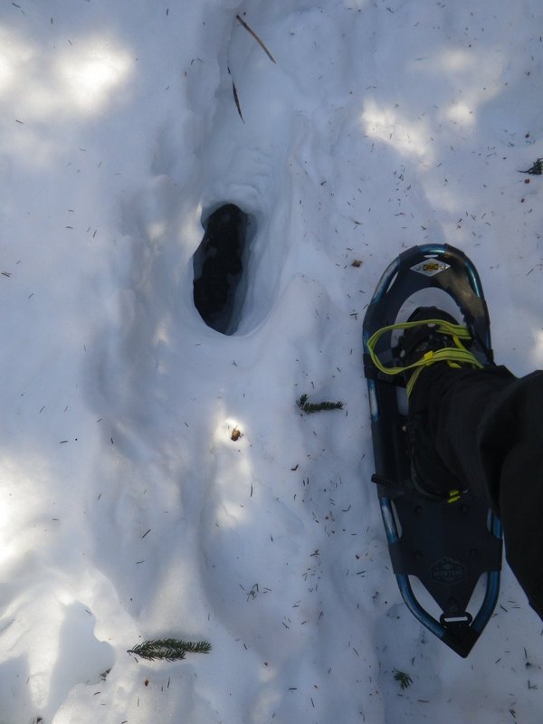
Many kittens were lost along this trail.
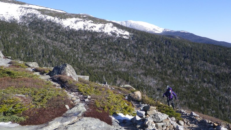
Debbie trying to keep her balance in the wind as we hiked the open ridge.
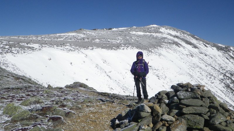
Summit of Slide Peak.
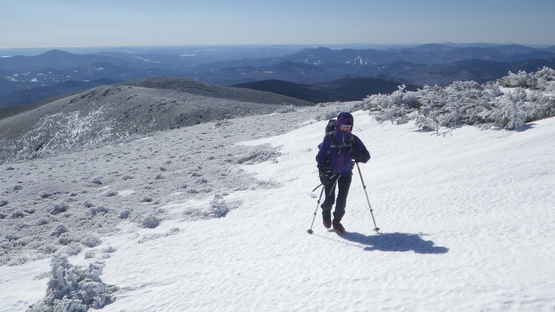
Continuing upwards in much nicer conditions.
Descending down towards Isolation.
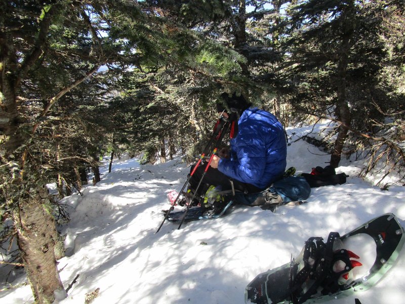
A break along the hobbit path.
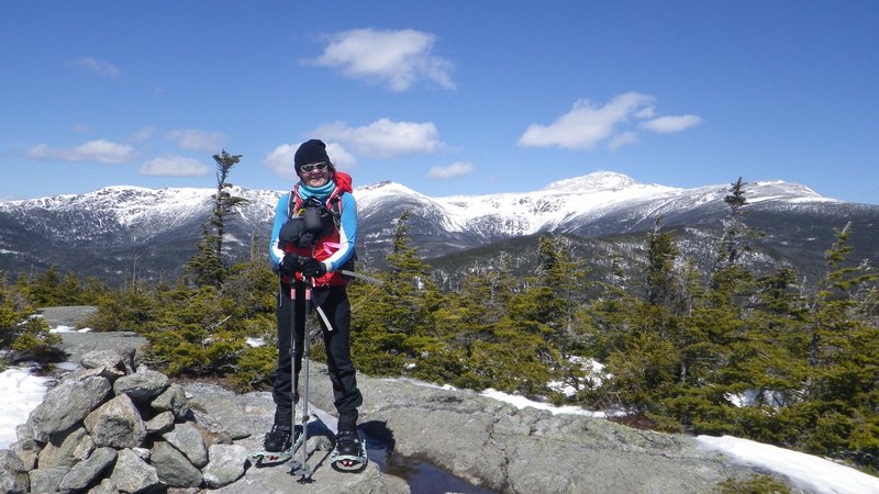
Summit of Isolation.
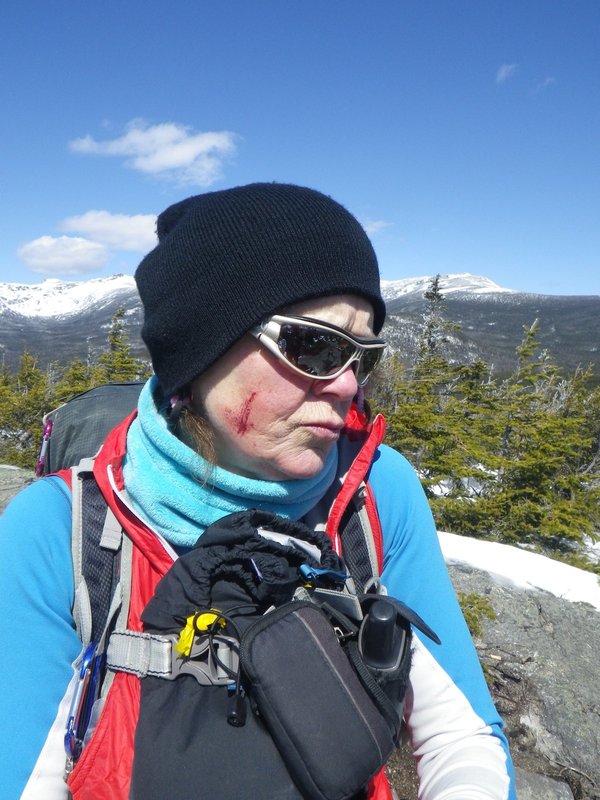
This summit was not won without some war wounds.
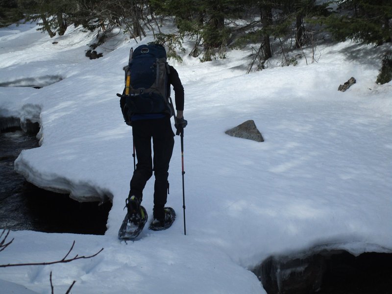
Thinking light thoughts as we cross the river.
[Home]
[Main]