Middle and South Carter
[Home]
[Main]
Oct 14, 2023
Katharina helped drop off Judy's car at the Nineteen Mile Brook trailhead and then
drove Paul, Judy, and I to the northern
Imp trail. She went on then to climb Jefferson with Bill while the three of us started making our way up the Imp. This
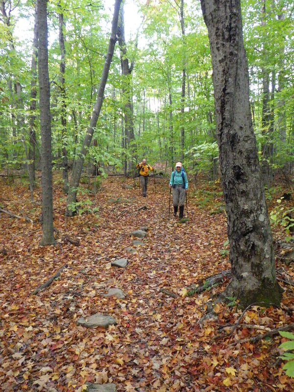
trail was very pretty with soft ground underfoot as it wound steadily upwards through the forest. We encountered one
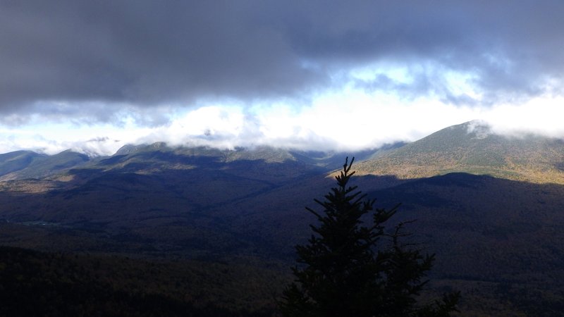
lookout which showed the Presidential's blanketed in cloud, and unfortunately cloud was covering the Carter ridge
as well, meaning that this was probably going to be the best view of the day. We soaked it in for a few minutes before
continuing.
Pretty fall walk on the Imp
Mount Washington and friends still in the fog
The trail followed a long and somewhat rugged traverse around a gulch until it intersected with the southern Imp trail,
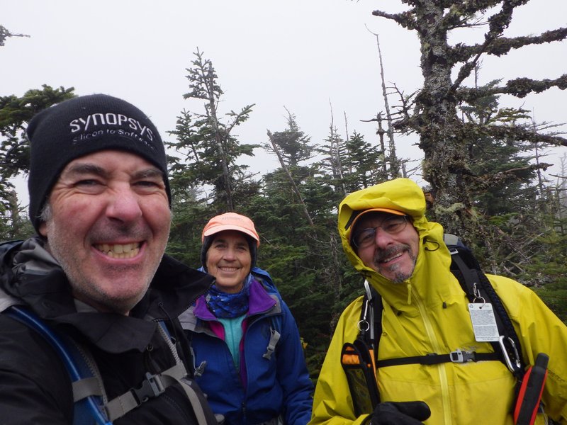
where we started climbing again and entered the fog as we ascended higher. Reaching the ridge line, we
encountered a couple of trail runners, our first human encounter of the day. The original thought was to climb
North Carter as a short side trip from here, but due to the weather conditions we decided to skip it and simply turned
south towards Middle Carter. For the most part the ridge was forested, but a few sections of trail would have
definitely been scenic had the weather cleared. Middle Carter gives you one of
those unique challenges of Eastern mountaineering,
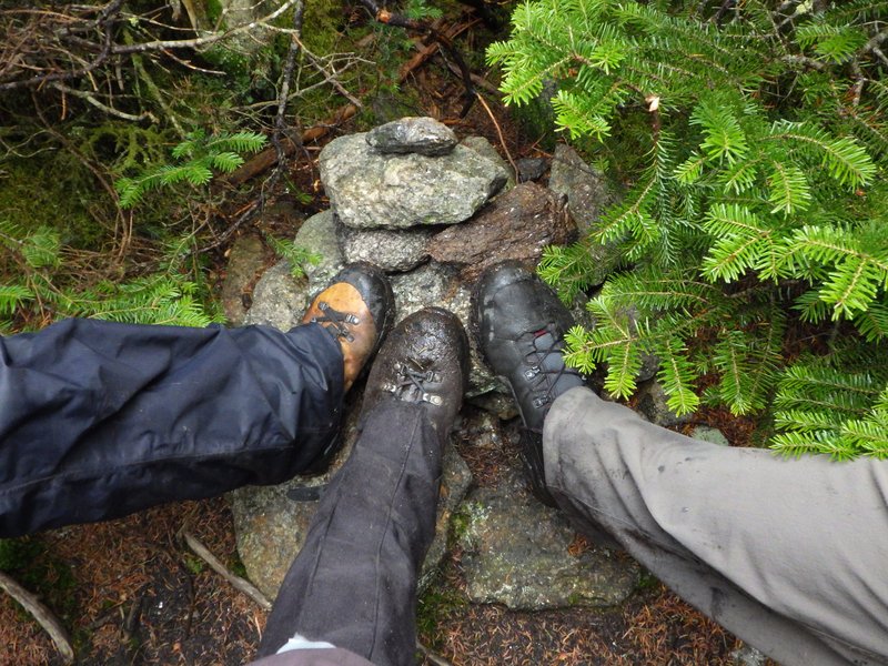
trying to determine if the bump you are standing on in the forest is actually the top. After one or two false summits
we finally found a cairn in a viewless section of trees.
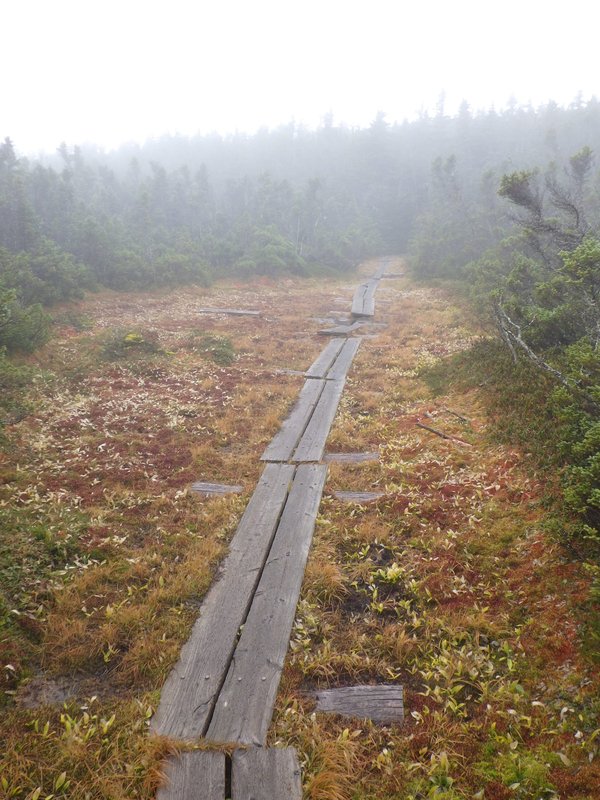
Trail along the ridge
In the ADK this would be a swamp of doom. Quite a pretty scene in the Whites!
Best view we found on Middle Carter summit
We took our lunch in a sheltered clearing and then made short work of the traverse over to South Carter.
Along here we met many people out for the day, as well as quite a few backpackers. We chatted with one woman for a
while who had come up the Imp and was trying to decide whether she could squeeze in Carter Dome as well, but was
worried about traversing back across the range before dark. I suggested she tag Carter Dome and then simply go down
the Nineteen Mile Brook trail, offering to give her a lift back to her car if she could catch up to us on the descent.
After checking her map she agreed that it was a good plan and sped off. Unfortunately we did not see her again.
The summit of South Carter was more distinct than Middle, and even had a tiny lookout ledge to the east, showing us a
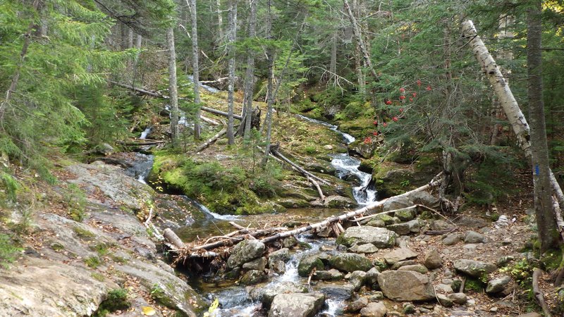
beautiful vista of grayness. The descent down Nineteen Mile brook more than made up for the lack of views on top
though. This
trail was beautiful as it followed a creek with many waterfalls, cascades, and pools. Many places looked inviting for
a swim had it been a warmer day. We arrived at the car after about a seven and a half hour hike and went for
coffee in Gorham. Kat and Bill apparently had the same
idea and showed up at the coffee shop a few minutes later after a succesful day on Jefferson.
South Carter summit
Typical scene along the beautiful Nineteen Mile Brook
[Home]
[Main]