Slide Mountain Loop
[Home]
[NE111]
[CAT35]
May 19, 2013
Debbie, Dianne, and I stayed at Woodland Valley State Park last night and left straight from our campsite at 07:00 to
hike the Slide
Mountain loop clockwise. The day was warm but a light drizzle was in the air. After crossing the river on a well made
bridge the trail began ascending through mature open forests all the way to the summit of Wittenburg Mountain. We took
a short break up here, putting on our rain layers as it now was coming down at more than a drizzle. We also met a
British fellow who was doing the same hike as us, but spending two days on the trail. We sped off to Cornell which had
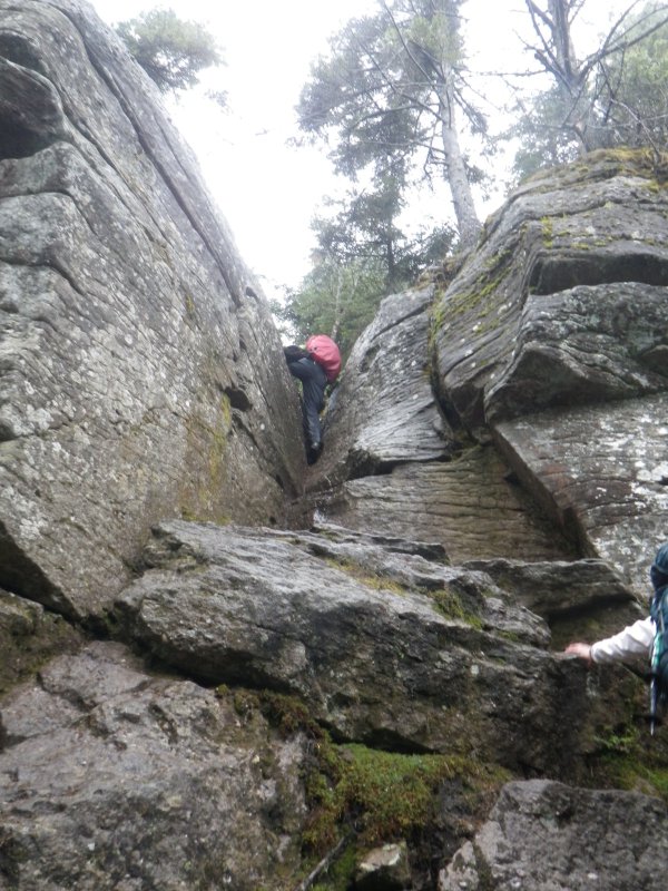
a lot of really fun scrambles. At one section we lost the trail and had a nice bit of 3rd classs terrrain to get back
up to it. I suppose we could have back tracked, but our route was much more fun. The final ascent to the summit had an
interesting dihedral feature which was a lot of fun to climb. Like Wittenburg, there was no view in the rain so we sped
off towards Slide. A long descent brought us to a lovely area with grass and several nice campsites. Then we had a
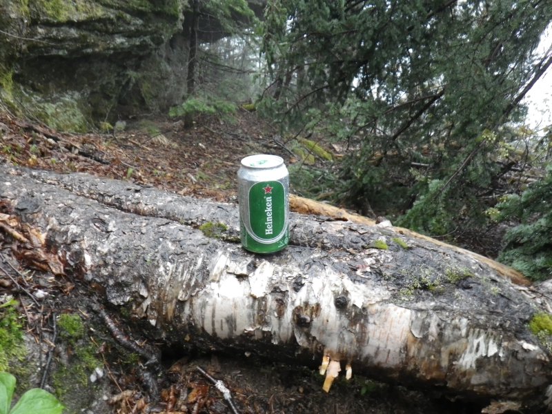
thousand foot climb to the summit which had lots more scrambly bits which were a hoot. Part way up here, standing in
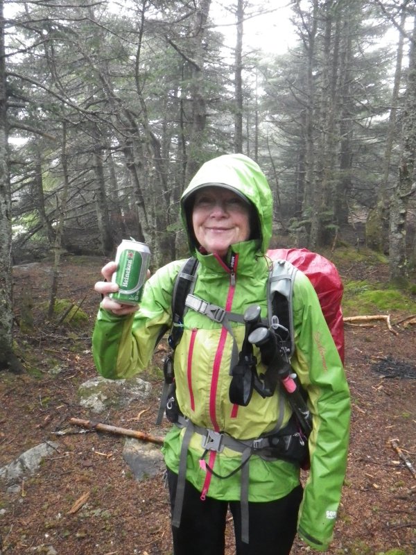
the middle of the trail was a can of beer. Not wanting to leave litter lying around like that we decided to pack it
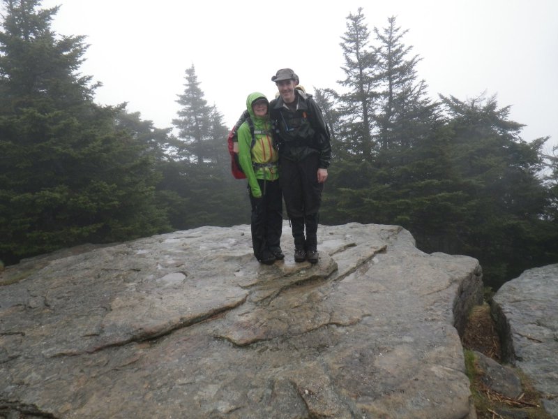
out. We arrived at the top of Slide to a memorial plaque and a nice lookout ledge of grayness. The wind and rain was
quite cool so we took shelter in some trees where many piles of toilet paper flowers adorned the forest. We decided
that the beer was too heavy to carry all the way back so it got dumped down our throats to lighten the load. We also
celebrated a bit because this peak marks both Debbie and my completion of all 4000' peaks of New York state. We climbed
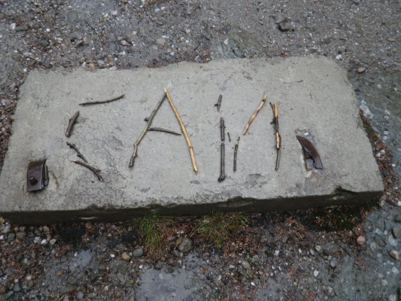
a tiny bit higher to the true summit which was marked by a concrete block that someone had placed some sticks declaring
"USA". We rearranged the sticks to read "CAN" which may eiher indicate our country of origin, or a can of Heineken that
we had found along the trail. We descended a little to a sheltered area and sat on some logs to have some lunch. We
now met quite a few large groups coming up this way who were planning on spending the night. The descent down to
Route 47 was gentle and completed easily. We remarked that we were glad to have done all the scrambling on the way up,
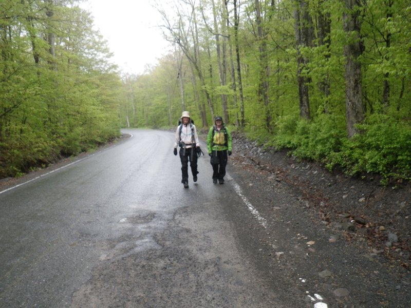
rather than the loop in the opposite direction. Next was a walk along the road for a couple of kilometers.
Fortunately, there was very little traffic... I think a total of three cars passed us along here. We got a kick out of
there actually being trail markers along the side of the road. They kept us on track and we did not lose this trail
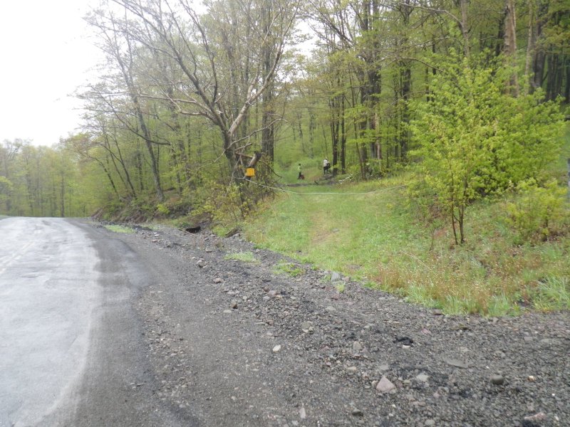
at any point. At the north end of Winnisook Lake we got onto an old cart road and that took us via a shortcut to the
main trail back to Woodland Valley. We sped along this gentle trail, relentlessly heading downwards on a fairly steep
side slope. One of the creek crossings was beautiful with lots of lush green moss and mini cascades and waterfalls
dropping down from above us. Some more descending brought us to another stream where we had to climb 300' out of the
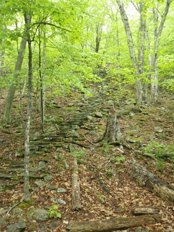
gorge. A wonderfully crafted stone staircase brought us to the top of this climb. A tip of the hat goes out to the
trail crew that built this feature. A final gentle descent brought us back to the parking area and a short walk from
there brought us back to our tents. Completed the hike in just over eight hours. We had a beer in the rain on the
picnic table and then retired to the tents for an afternoon snooze before supper.
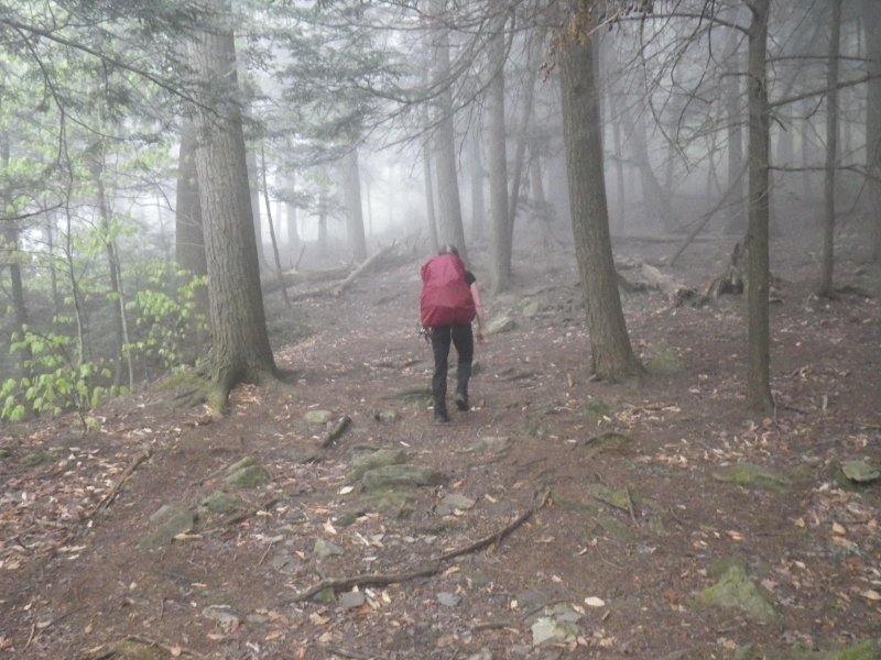
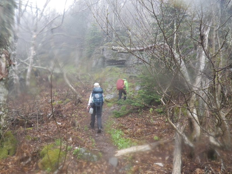
Hiking through the magical forest towards Wittenburg.
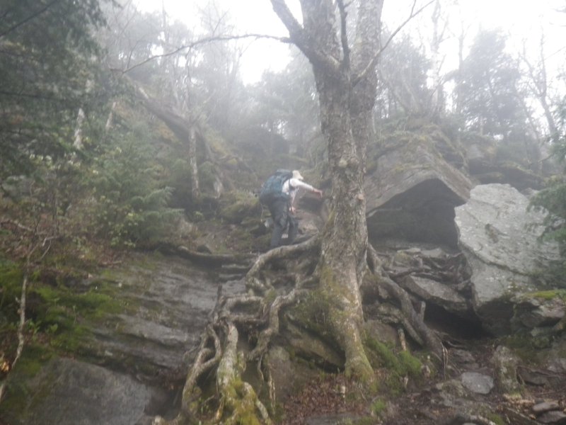
One of the many scrambles of the day.
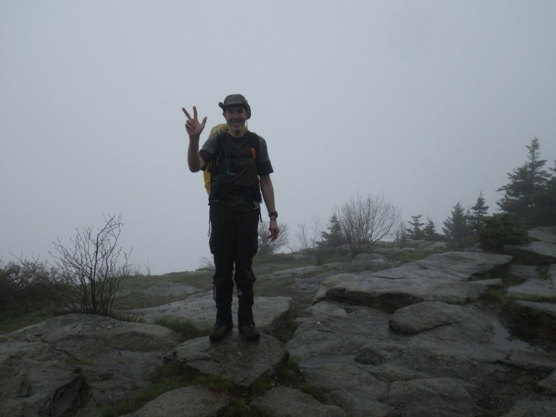
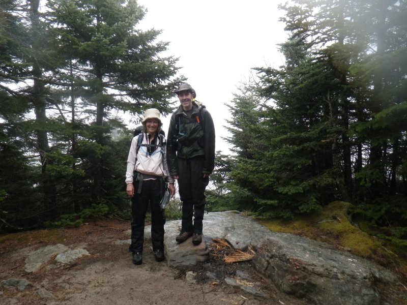
Summit of Wittenburg. Check out the view.
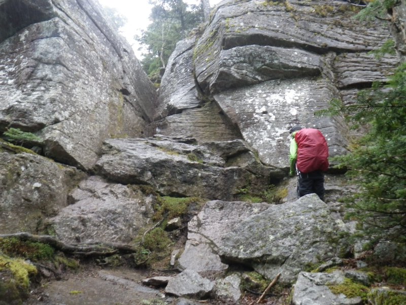
Approaching Cornell Crack.
Debbie showing us how it is done.
Summit of Cornell.
Through the col between Cornell and Slide.
Whoah! The beer fairy left us a present!
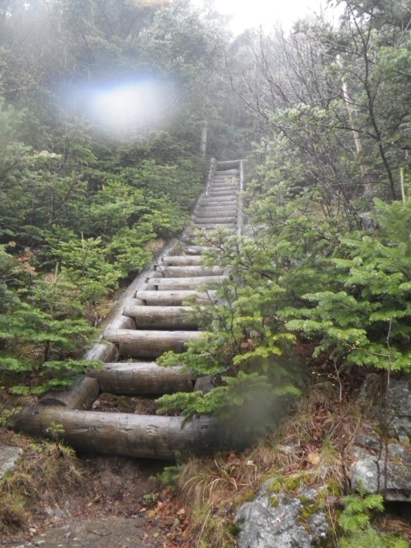
Tired of scrambling, the trail crews gave us a staircase near the summit.
Summit of Slide. Views abound.
The beer was heavy and we figured that urine would be less impact on the natural environment than suds, so the beer
was consumed.
Slide summit block...
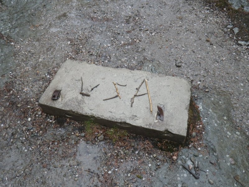
We re-arranged it slightly. The construction of the "N" shows that the beer was getting to our heads at this point.
Strolling along Route 47.
Side trail shortcut.
Stairway to heaven out of the final gorge to Woodland Valley.
[Home]
[NE111]
[CAT35]


