Camel's Hump
[Home]
[Main]
October 12, 2015
It was a gorgeous day as we drove from Gifford Woods to the parking lot at the base of the Burrows Trail. The parking
area was overflowing with cars parked far down the road. We went up to the lot anyway to turn around, and managed to
find a space by squeezing in between two other vehicles that were hap-hazardly placed. This is a nice benefit of a
small car, worth the discomfort of four people plus camping equipment piled inside and on the roof. With the state of
the lot, we knew the hike would be crowded which it was. The four of us; Nils, Nicole, Katja, and myself, set off
down the trail, bypassing the sign in post as there was a line-up of about a dozen people here. We climbed slowly as
it was Nicole's first ever mountain hike, but with some encouragement and a few breaks she pushed valiantly on. Lots
of others passed us on their descent, as well as many others during the climb, though our group was not the slowest.
We took a break at the hut clearing junction where a plaque dedicates the mountain as a national landmark. The summit
cone looks very impressive here, however the trail up is actually quite moderate. We layered up at tree line as the
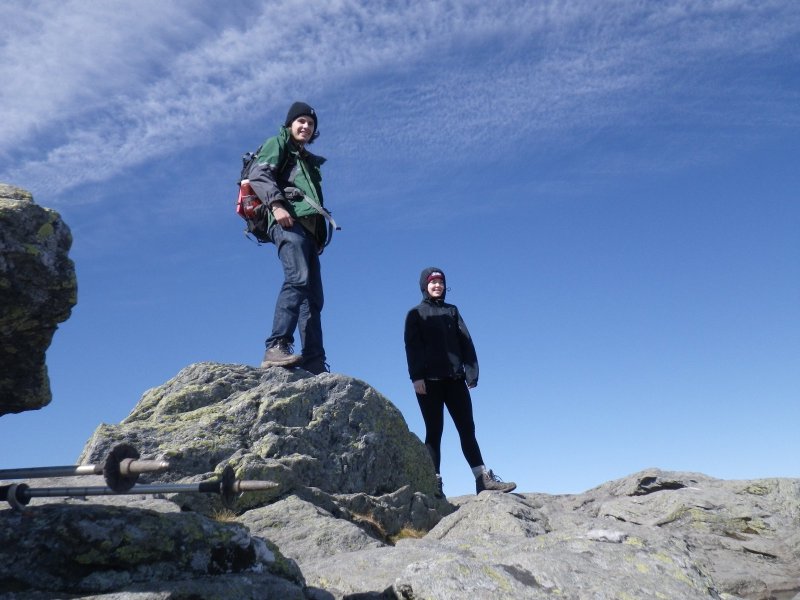
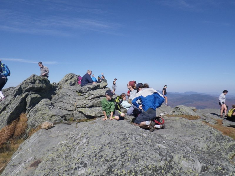
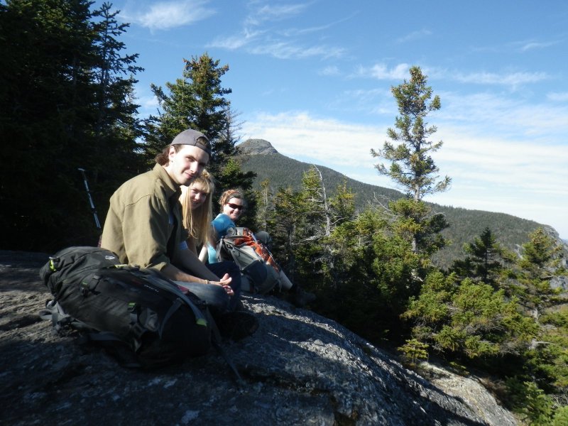
wind was blowing quite hard, and then climbed the last few meters to the summit. This was crowded, but we took some
summit photos and then found a sheltered spot nestled in the rocks for a long lunch and view soak. A friendly fellow
sat down with us and told us some local history and pointed out other peaks in the area. After about half an hour of
enjoying the view and watching the hoards of people trample the alpine vegetation as two summit stewards buzzed around
shooing them off, we decided to make our descent. To get away from the crowds we decided to take the Long Trail to the
Forest City trail as we figured this would be a less travelled route. The descent was very steep. A couple places were
a bit of easy 3rd class scrambling, and we had to wait for a while at one trail constriction for another group of
nervous hikers coming the other way to slowly overcome an airy traverse manouver. We decided to take a quick side trip
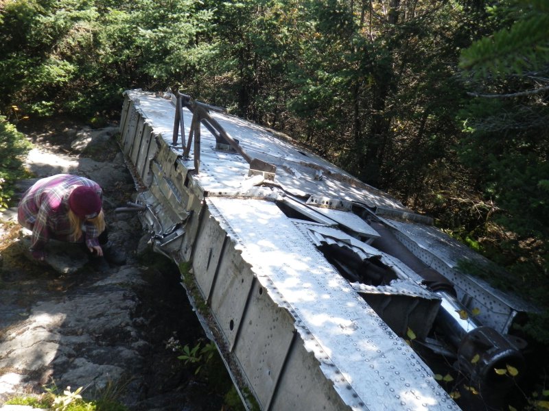
to check out a WWII airplane crash site and after searching a bit, found a wing in the woods just off the trail. On our
way back to the Long Trail we met a young guy with a prominently displayed side-arm, who asked us for directions to the
crash site. I gave him directions and refrained from making snarky remarks about his choice of hiking gear (at least
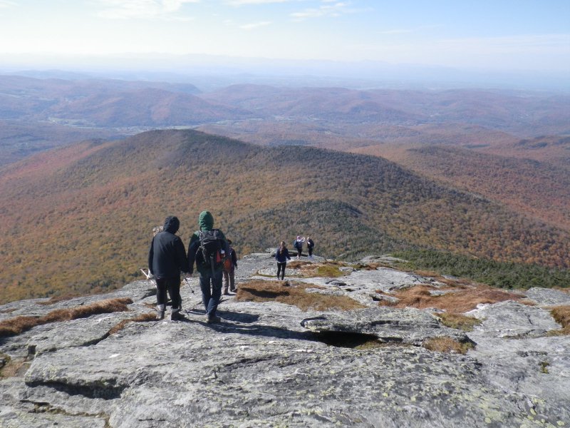
until out of earshot). We continued down the ridge which remained
relentlesly steep all the way to the junction, where we stopped
at a lookout ledge for a second lunch. The Forest City trail descended very gently and was an easy walk for the rest
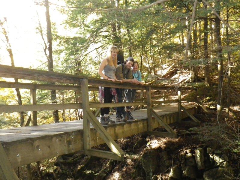
of the hike out. The final bridge over a slot canyon right before the parking lot was the cherry on the cake for this
wonderful day of hiking. Total time was five and a half hours to hike the loop. The drive back to Canada was much too
long, finally arriving home around midnight.
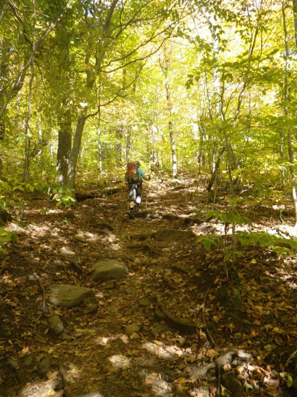
Fall colours are in full force during the ascent.
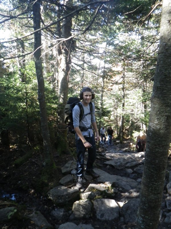
Nils enjoying the climb.
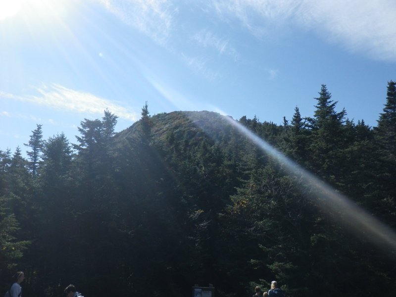
View of the summit cone from the hut clearing.
Katja climbing the final bit of trail towards the summit.
Nils and Nicole on Camel's Hump summit.
Crowded place.
Descending the south ridge.
Checking out an airplane wing in the woods.
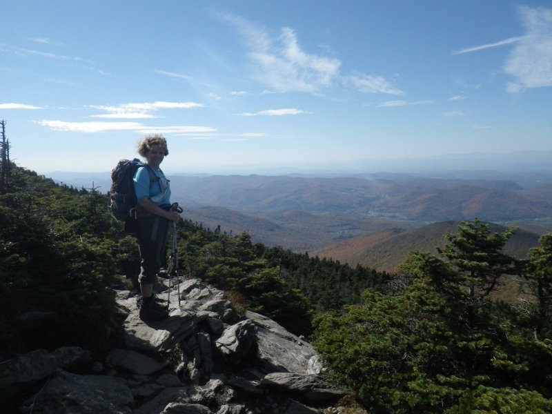
Lunch on a lookout ledge with Camel's Hump in the background.
Final bridge over an impressive slot canyon.
[Home]
[Main]