Marshall
[Home]
[Main]
September 19, 2009
I was a little nervous about this hike as I had aggravated an old knee injury the weekend before while hiking and
mountain biking, but set off anyway. I was the hike leader of a group of eight from the Ottawa ACC section. We all met
down at Keene Farm on Friday evening, and then got up early to drive to the Upper Works trailhead which is almost 100 km
away from Keene. We got to the trailhead at 08:00 and began our hike. The hike in to the base of Marshall is flat and
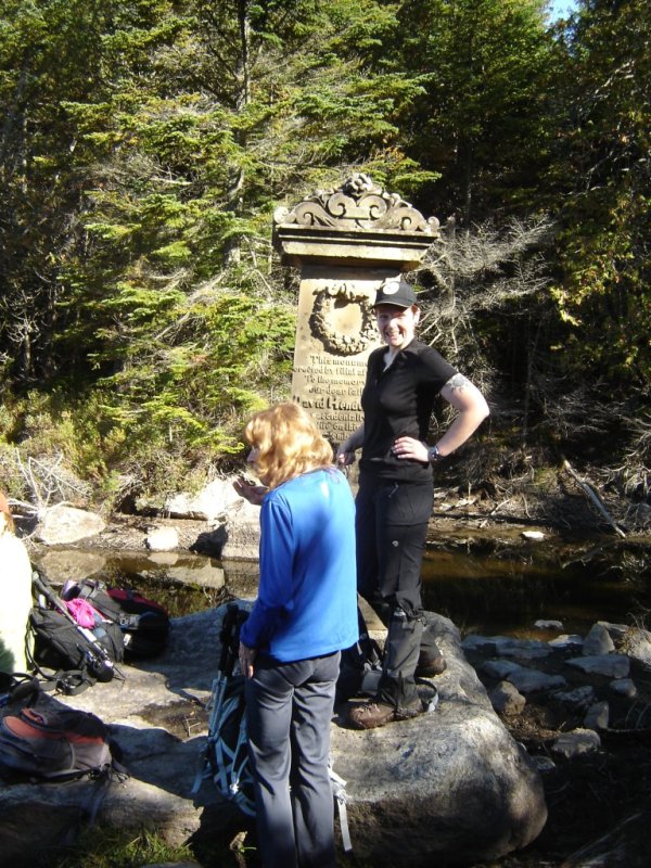
fairly long. The day was beautiful. Cool, sunny, and not a cloud in the sky. We stopped at the Henderson monument for
a quick break, and then again at the Flowed Lands to take in the
view of Mt. Colden. Although we spent the entire day walking around Mt. Marshall, we never did get a good view of the
mountain we were climbing itself. We ascended via Herbert brook. A clear but unmarked trail followed the stream,
occasionally
crossing from side to side. This part of the hike was absolutely gorgeous, with lots of small waterfalls amid a lush
green mossy forest. At one point, we accidently began following another trail which left the creek bed and then finally
petered out. We bushwacked back to the creek and picked up the main trail again. One more food break and the final
summit push was on. A few places had some light scrambles, and finally we reached the summit after about 4.5 hours into
the hike. Slightly below the summit there is a south-east facing lookout, where we decided to take our lunch, lounging
around in the sunshine and enjoying the views of Colden, Marcy, and Gray, and a few others for the next 45 minutes. I
polled the group
whether they would like to complete a loop via Indian Pass, or just go back the way we had come in. I got a unanimous
vote for the loop, so we descended down to the col, and then started heading northward towards Cold Brook Pass. There
is apparently a trail here, and we started off by following a faint one, but it quickly disappeared so we just followed
a compass
bearing through the woods. The way was tough going in spots as the vegetation was fairly dense. After about 500 m of
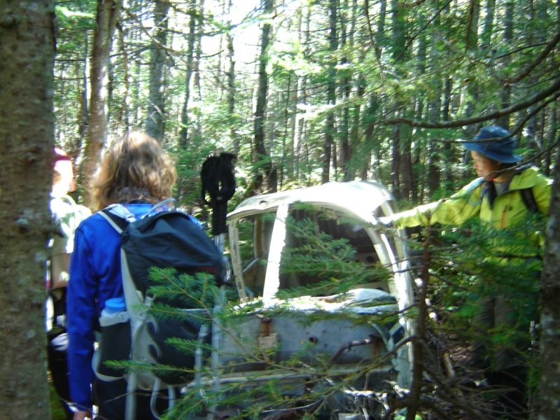
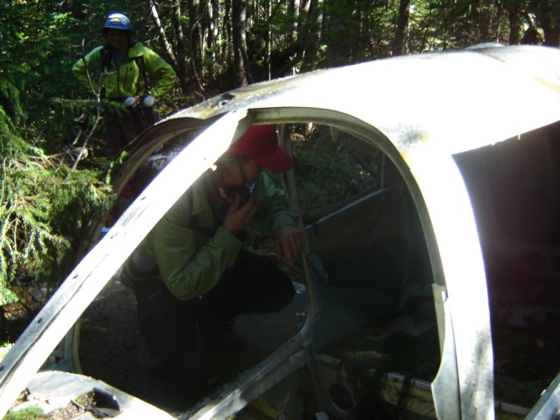
this I spied what I thought was a tent. As I got closer I thought it was a car. As I got even closer it turned out
to be the wreckage of an airplane. Explained to us by a bartender in Keene later in the evening, the airplane crashed
in the sixties. The pilot although severely injured, was successfully rescued some thirty hours later. After exploring
this for a few minutes, we found a path that took us to the Cold Brook trail. To find this wreckage again, locate a
very large boulder (about eight feet in diameter) sitting on the south side of Cold Brook trail right near the summit of
Cold Brook Pass. Go in behind this boulder, and walk into the woods about 15 to 20 meters and you will find the plane.
About 300 meters west we found a cairn marking the trail we were supposed to take from the beaver ponds, but we were
glad we missed it as we would not have found the wreck. We descended down Cold Brook pass, and then up through Indian
Pass. The trails here are much more rugged than the
trails on the southern approach to Marshall. Indian Pass is full of fun scrambly bits, and the view of Wallface
mountain is spectacular. Lots of giant house size boulders are present that the trail winds over, under, and around.
The group was beginning to get strung out, so I decided to split the group into two; a faster group of four to go ahead,
and a slower one which I stayed with to continue on at our own pace. We agreed to meet back in Keene at the
Tip-a-Canoe restaurant. Once
we got down from Indian pass, a long flat plod remained to get back to the parking lot. We got out just minutes before
being plunged into darkness, just over 11 hours after we had started. A long drive back to Keene, and then a big,
delicious supper washed down with good beer was to be had at the Tip-a-Canoe. Surprisingly, my knee held up just fine
with no pain at all.
Starting out on a cool but beautiful morning.

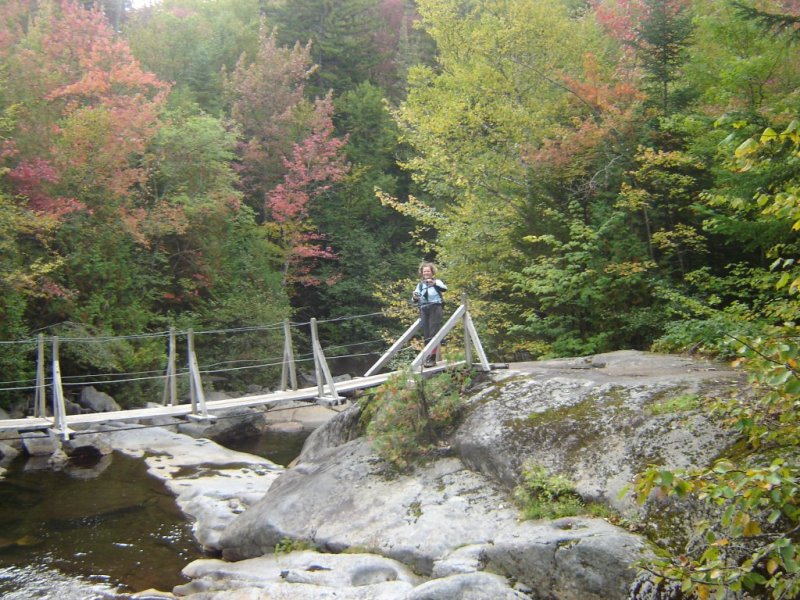
Katharina on the high water suspension bridge across Calamity Brook.
Calamity Pond.

The Henderson Monument. This guy got shot in a hunting accident here some 150 or so years ago, and his family built
this elaborate cairn.
Climbing up Herbert Brook.

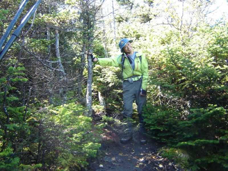
Energizing ourselves for the final summit push.

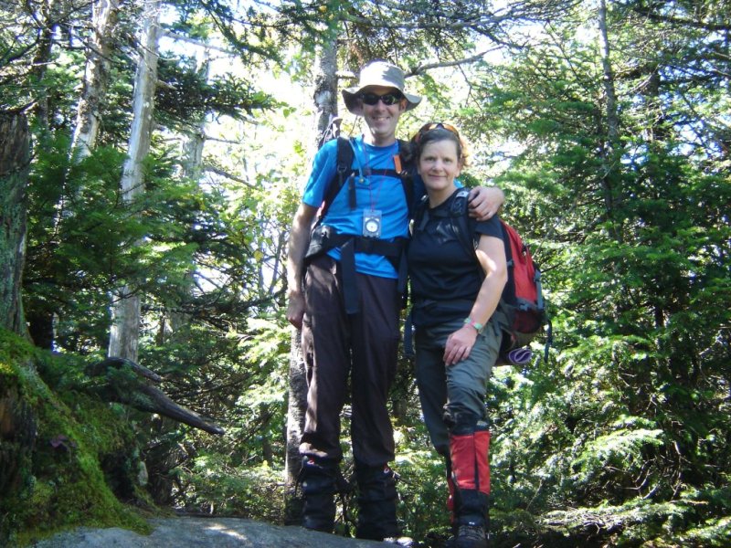
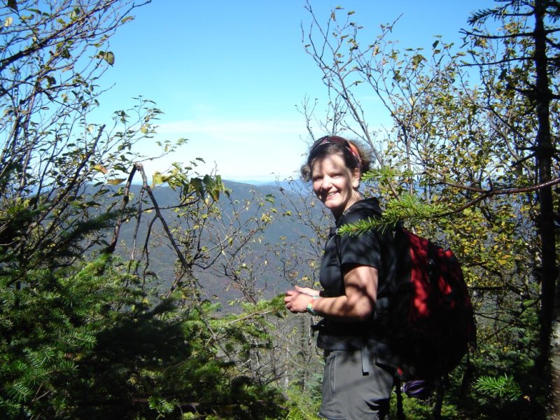
Na near the summit.
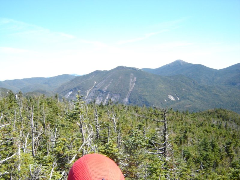
Obligatory summit photo. No view here, but a great one about 20 meters back was found along with a couple others.
North West view.
Eastern view of Colden, Marcy, and Gray.
Down at the beaver ponds in the col before we lost the trail.

Plane wreck we stumbled across.

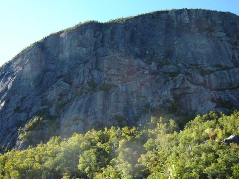
Wall face mountain. A huge slab must have let go at one point in the distant past which made the hike through Indian
Pass very interesting.
A few ladders were installed on the descent of Indian Pass.

[Home]
[Main]