MacNaughton
[Home]
[Main]
[Next]
September 22, 2012
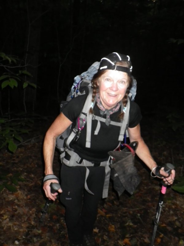
Debbie and I got up just before 05:00 in the back of her camper truck and had a quick breakfast. We set out from the
Loj under a starry clear sky with our headlamps on. By the time we had circled around Heart Lake it was light enough
out to switch off the lamps and we sped along the Indian Pass trail. As we went it began to cloud over. Looking out at
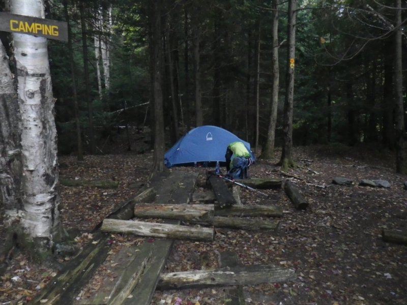
the MacIntyres, they were completely covered in fog. We got to Scott's clearing and set up camp.
Now with lighter packs
we flew up the trail towards Wallface ponds. At Lost MacNaughton Lake I got to see where we lost the trail a couple
attempts prior. No wonder. The markers here are faded to white which would have blended in perfectly with the deep
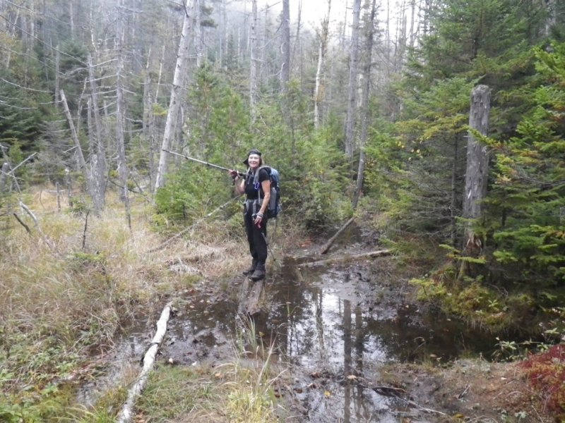
snow. This trip fortunately, there was no snow and following the trail was easy. A muddy trail it was though. Not
quite as bad as the Santanoni range, but almost. Finally we reached Wallface Pond. I have always wanted to see this
as apparently it is quite a pretty spot. Today however, it was so foggy we could barely see out twenty meters across
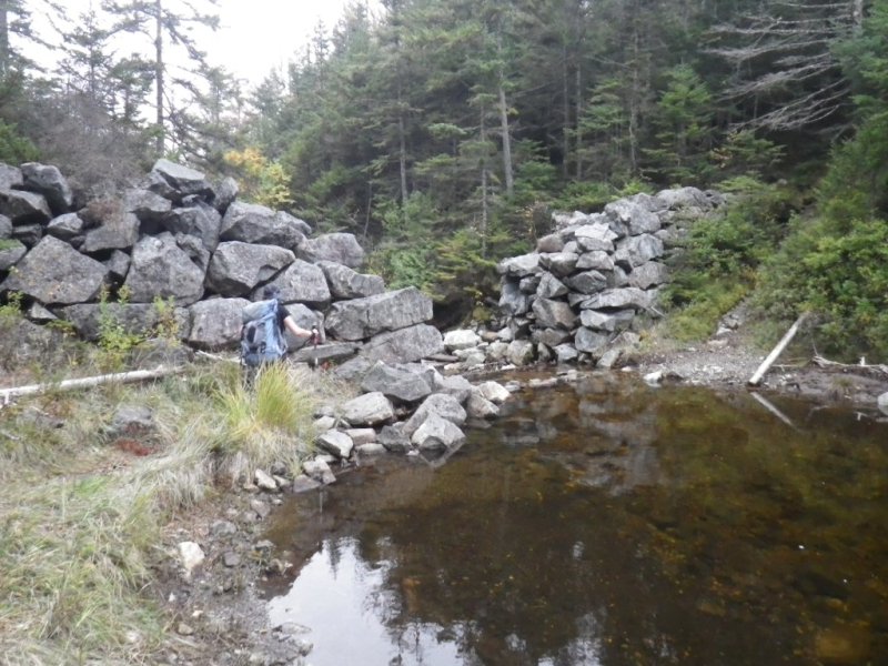
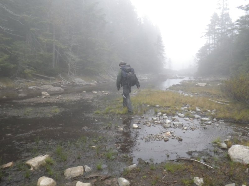
the water. We circled around to the outlet and crossed the stream easily as the water level was very low. A cairn
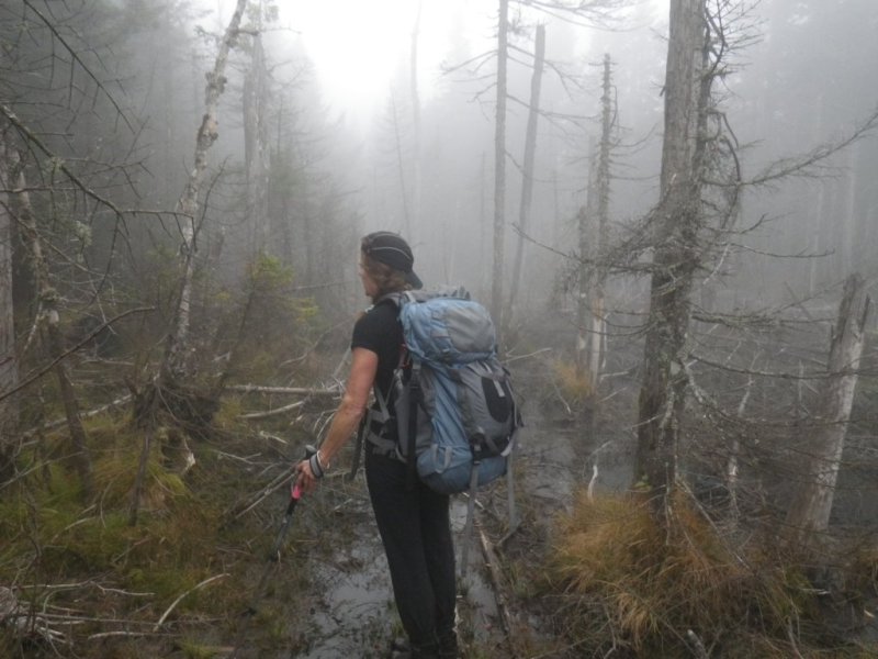
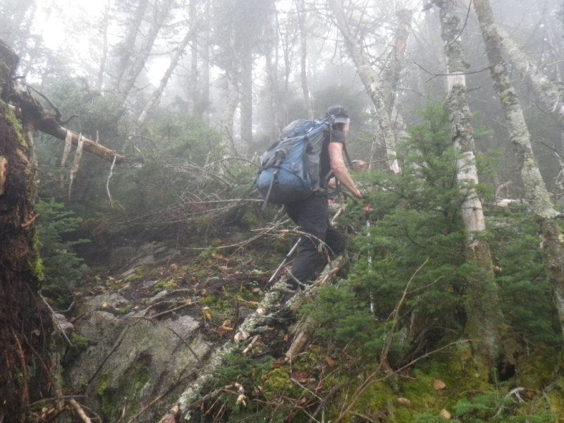
marked the start of the climb, and after pumping a liter of water we started up the herd path. The path quickly
disappeared and the rest of the way was a bushwhack. Down low we passed through birch forest with beautiful green moss
on the floor, while up higher was more and more spruce. The going was tough but we persevered and after an hour or so
of squeezing through logs, spruce traps, and rotten detrius found ourselves on the center summit of MacNaughton. Along
the ridge was a path which we followed to the west summit and the sign. The cold wind and fog prevented us from staying
long, so we descended a bit to a sheltered clearing where we had some lunch. We bushwachked down, which was easier than
going up, but several times we hit small cliffs which had to be skirted around. Eventually we found ourselves at the
side of a lake. Since we could not see anything, some compass work was required to determine exactly which lake it was.
Measuring the angle of the shoreline showed it to be Upper Wallface Pond, so we followed the edge around back to the
trail. It now started raining and continued for the next couple of hours back to camp. We arrived at camp somewhat
damp after a total of 8.5 hours of hiking. Brewed up some coffee and had a snack before retiring to the tent for the
rest of the afternoon.
Starting out in the dark.
Campsite at Scott's Clearing.
I think we go this way!
Crossing the outlet of Scott's Pond.
Scott's Pond.
Muddy trails.

Muddy and foggy trails.
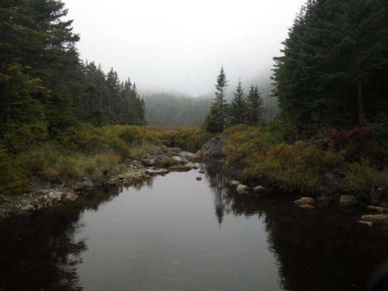
Upper Wallface Pond. Apparently this view is supposed to be really nice.

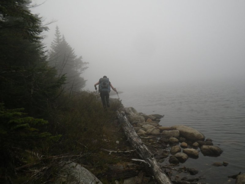
Traversing around the lake to get to the bottom of the Mountain.
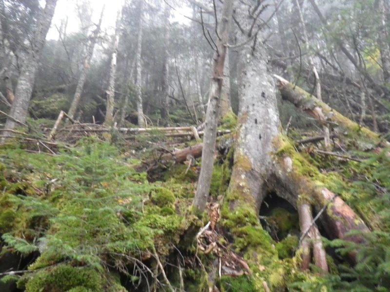
Starting the climb. No trails on this peak.
Debbie and I on the summit of MacNaughton. It only took me four attempts to finally make it here.

Crossing the outlet of Wallface Pond on our return to camp.
[Home]
[Main]
[Next]