Basin Lake
[Home]
[Prev]
[Next]
August 31, 2024
We got started early anticipating a fairly long and difficult journey today. We were not disappointed in this regard.
The first six kilometers or so was across a long string of small lakes. We encountered only the occasional fisherman
as we passed various small private cottage inholdings along the shoreline. At we entered the final body of water in the
chain, Couchain Lake, we spied what looked to be a bright yellow canoe hauled up on the far shore, possibly our first
paddler encounter of the trip. As we got closer though the canoe morphed into a slide perched on top of a swimming
platform, just off shore from what we are calling the hillbilly camp. As we passed this collection of dillapitated
trailers on a private inholding, we were greeted by quite a gaggle of folk swilling beer and hooting it up with the
guns at 10:00 in the morning. We waved hello and continued on our way.
Another glassy smooth day
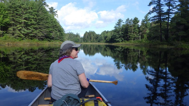
Hillbilly camp made a good reference point to
shoot a compass bearing to find the entrance to the Bonnechere river in the
endless swamp at the end of the lake. We entered the swift current of this sharply meandering stream and began some
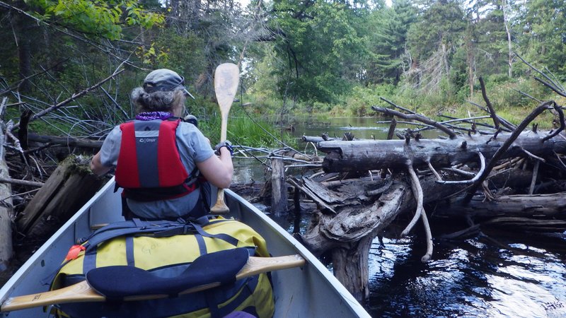
difficult paddling. The first bit was not too bad, but before long we began to encounter lots of fallen trees and log
jams blocking the way. Each jam proved to be a unique challenge. Some we could thread the canoe through, some we had
to do brief bushwacking portages around, and others we climbed out onto the floating logs like the river drivers of days
gone by and simply hauled the canoe over top.
Obstacle course
After entering Algonquin Park, we hit a long section of rapids. Our map indicated a
portage on the south shore, but search as we might we could not find any sign of a landing point or a trail. Not
wanting to bushwhack with a canoe through dense forest we resigned to wading up the shallow rapids and simply hauled
the canoe along. This worked fairly well, but was slow going as the footing on the slippery river bottom was tricky.
As I hauled, Kat searched around in the woods and eventually found a faint trail. At a deeper part of the rapids
we pulled the canoe out of the river and tried following this trail for a while. After about a hundred meters the
trail disappeared and we went back to hauling the rest of the way to the top. A short paddle brought us to another
rapid, this one mercifully having a faint trail around.
The last few kilometers of river were rapid free, but a few beaverdams and more log jams needed negotiation. Finally
we reached the northernmost point, where (according to the map) there is a short portage to get to Basin Depot, the
official access point for Basin Lake. Experience told me that this portage might be hard to find so I used the compass
to determine the correct place in the final bend where we should find it. We did not. We went on a little further
and found a trickle of water known as Basin Creek, and knew that we had gone to far. We went back to where the portage
was supposed to be and explored more. I hypothesized that a field of raspberry bushes was the portage and we set out
hiking through this mess, shortly after finding a vehicle track that brought us to Basin Depot.
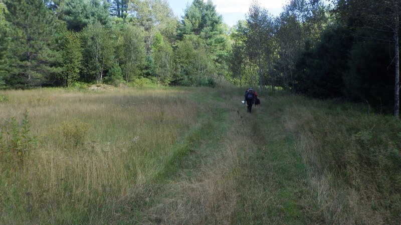
Grassy portage to Basin Depot
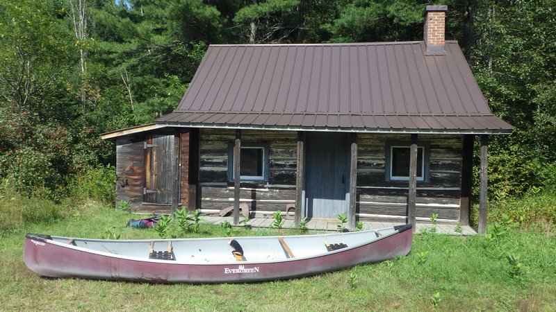
Basin Depot former harness shop, school house, and hospital
It was clear where to go from here as a road marked with a sign indicating "Basin Lake" pointed the way. Kat set off
hiking down the road while I went back for the canoe, and then followed along the road. I figured there would be a
cut off to a wide part of Basin Creek, however that did not exist, or if it did it certainly is overgrown and well
hidden. We ended up following the road for over a kilometer
all the way to the lake, where it ended at a small parking area with a couple of emppty campsites.
Not wanting to camp beside
other peoples cars, the we put in and paddled a short way to a beautiful site on the water.
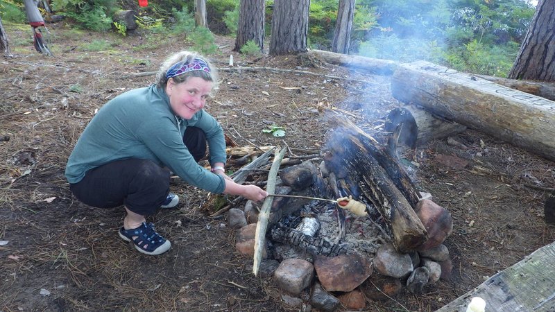
Supper time at camp Basin
Travel time: 8 hours
[Home]
[Prev]
[Next]


