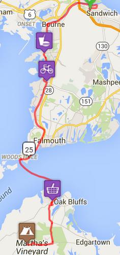
Bicycling in Cape
Code
in September 2015
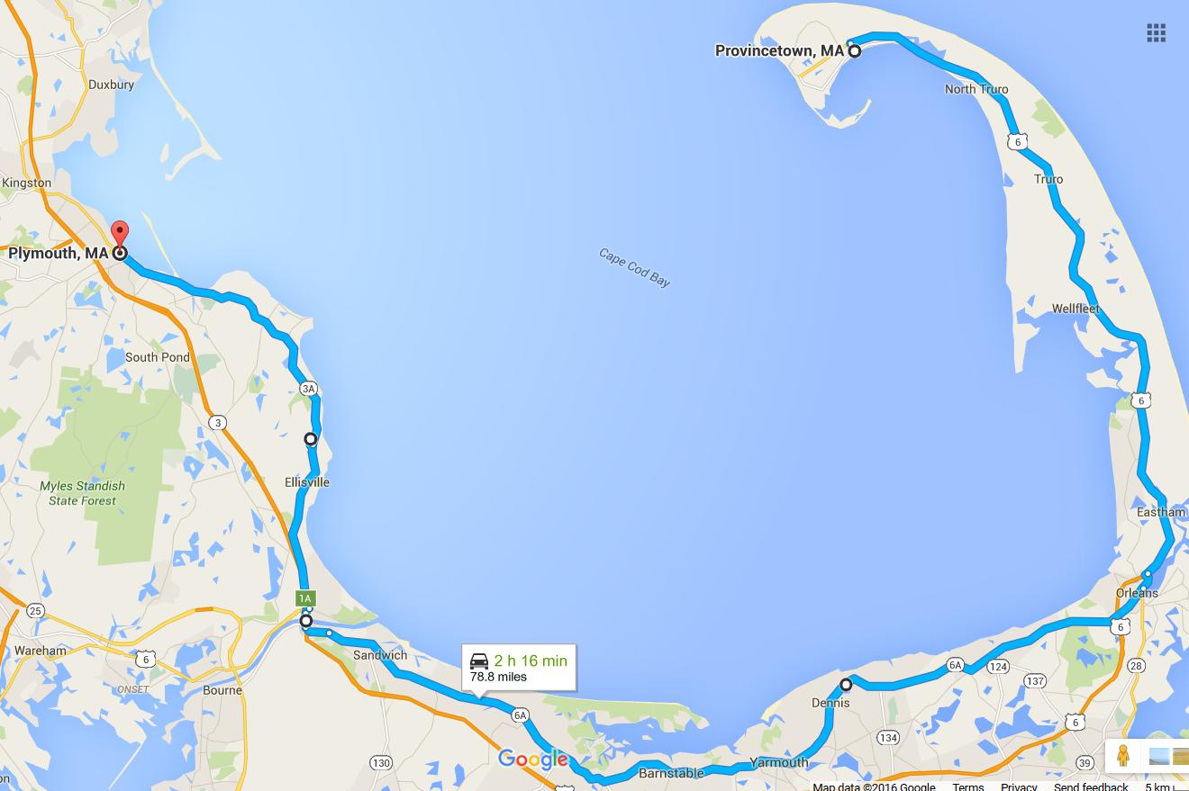
 At
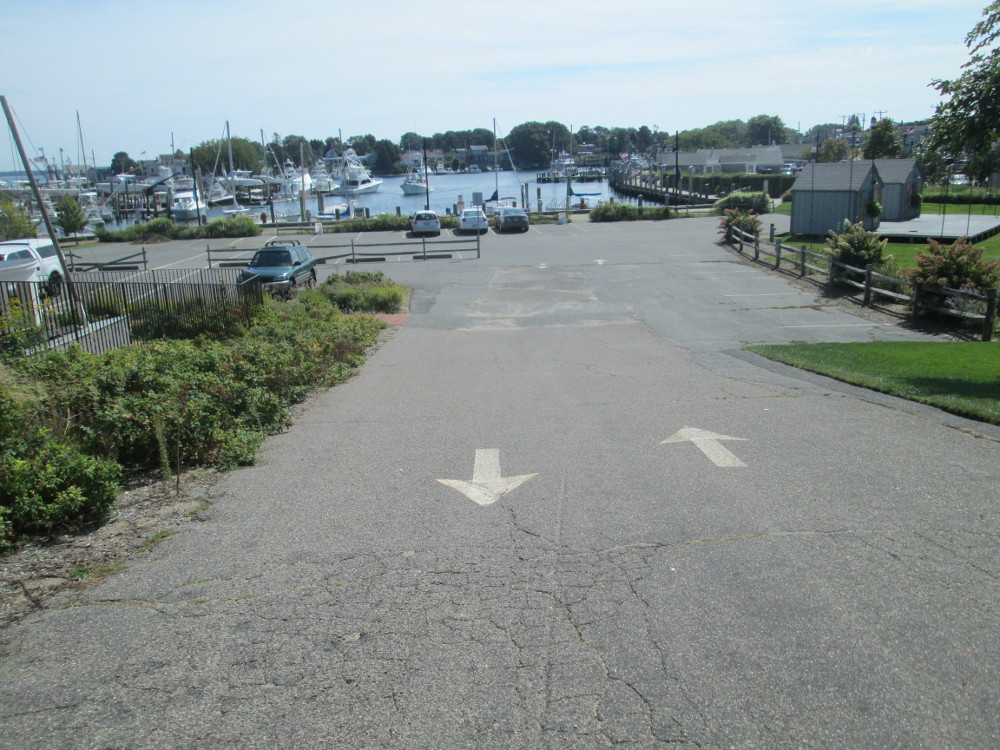
the start of the tour, the route leaves Myles Standish State Forest
too soon. I try to make it last: I drive back through the Forest to
Plymouth where I leave my car in a well lit, busy parking lot; then,
I ride my bicycle back to the campsite where I stashed my gear.i
At
the start of the tour, the route leaves Myles Standish State Forest
too soon. I try to make it last: I drive back through the Forest to
Plymouth where I leave my car in a well lit, busy parking lot; then,
I ride my bicycle back to the campsite where I stashed my gear.i
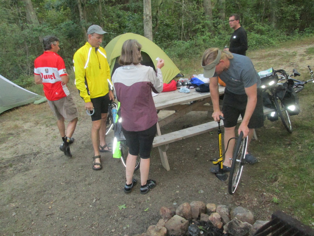
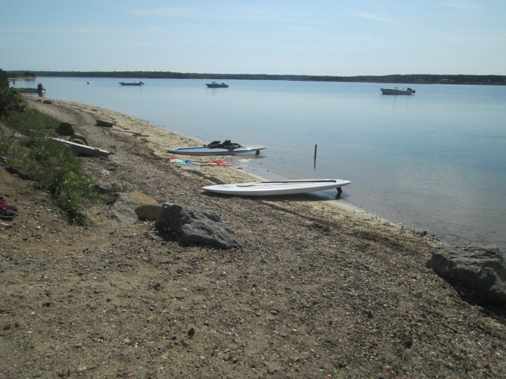
We camped in Myles Standish State
Forest the first night. It was peaceful and dark. I noticed that many
others had a head lamp. I'd say now that a head lamp is almost
essential on a fall tour that stays in natural campgrounds. I do like
these places lots, but it's nice to see one's way to the washroom,
eh, without staying out all night finding one's way back! So, I go to
the local Walmart and get a headlamp.
The first morning is the worst
weather of the trip with rain in the morning and heavy clouds until
late afternoon. The sun comes out too late to count as a navigational
aid. By that time, the tour is on seaside roads where we follow the
coast line. Before that, we ride a series of back roads near Freetown
and rural Dartmouth that mostly run through built up areas of single
family homes and small businesses on streets that wander and twist
with the landscape. The road network is so complicated that I almost
get lost once, but find my way after re-tracing my steps, and reading
the trip directions, at last! Shortly after, I pass the tour leader
who wants to be the last rider ... but, not this time, eh?
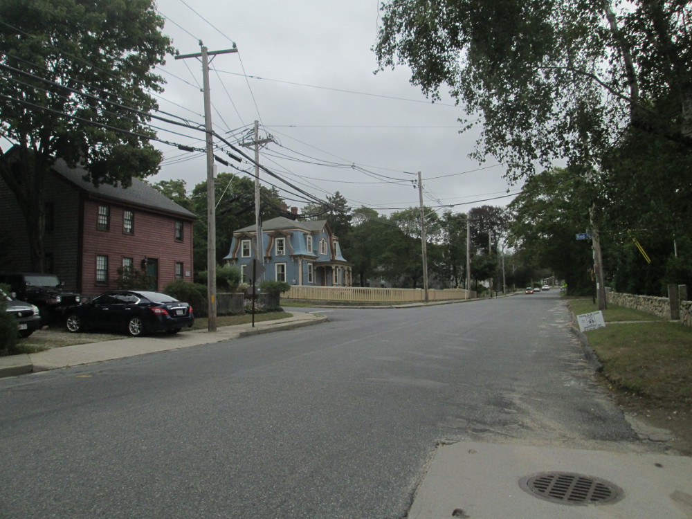
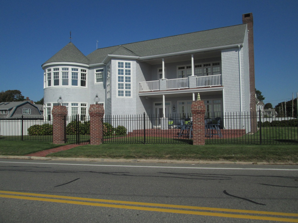
Amidst all this chaos the housing
varies from shacks to large mansions, some with well groomed lawns.
Some other lots in rural areas have lots of machinery piled in their
yards. Some of it is historic, but mostly it's just rusting away.
|
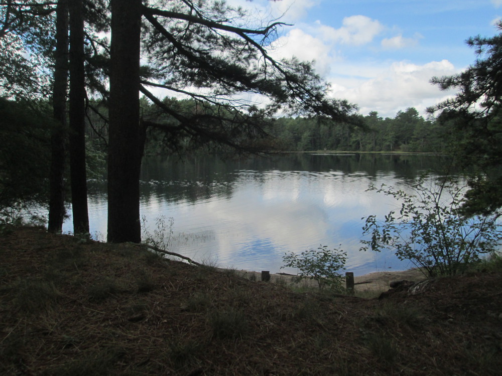
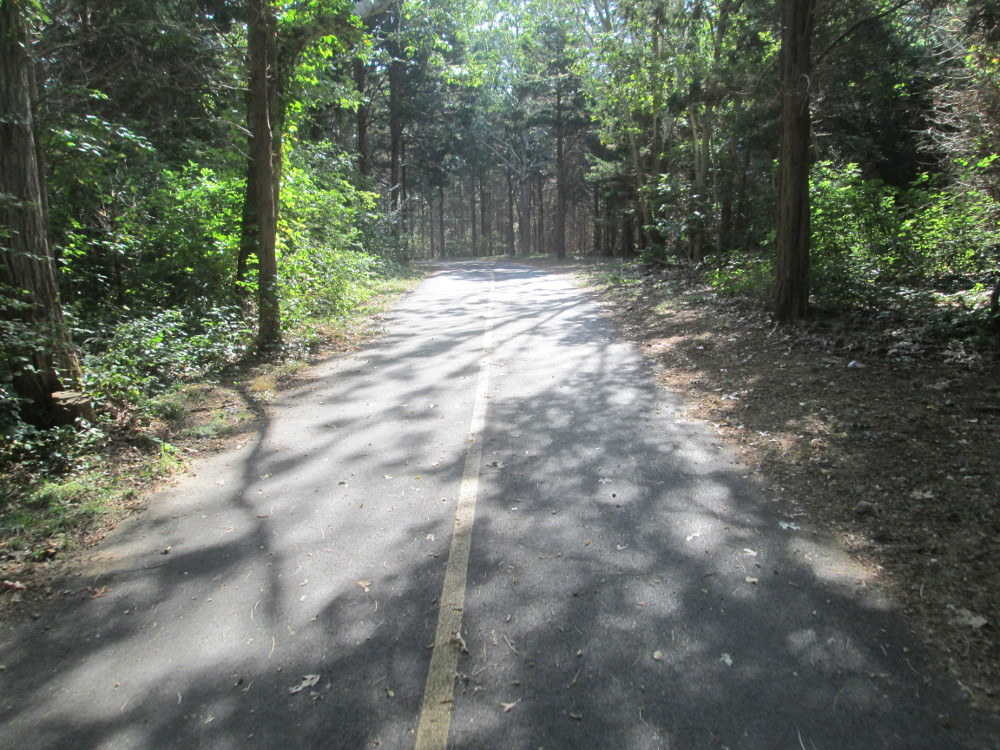
Camping
in Myles Standish State Forest is peaceful
|
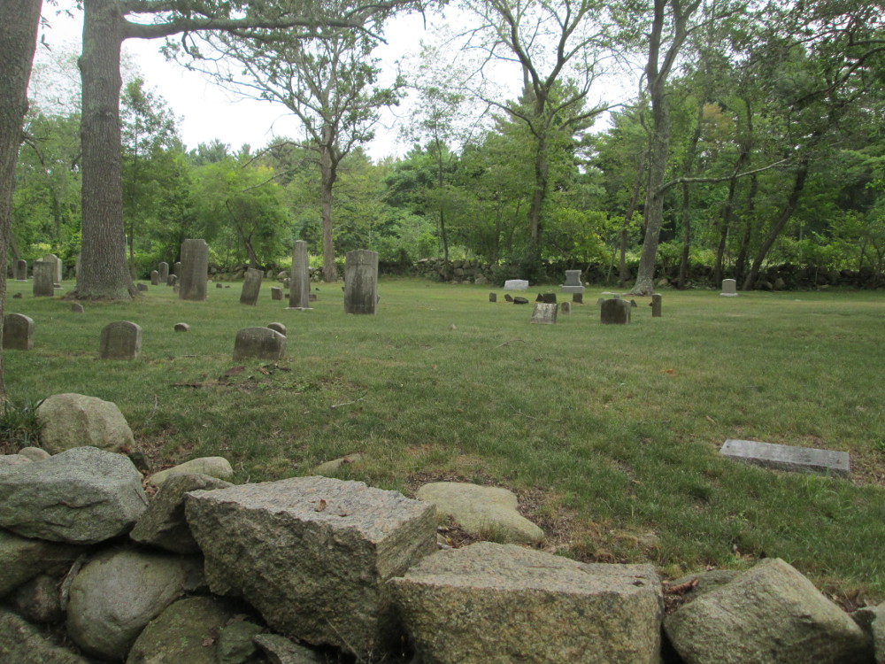
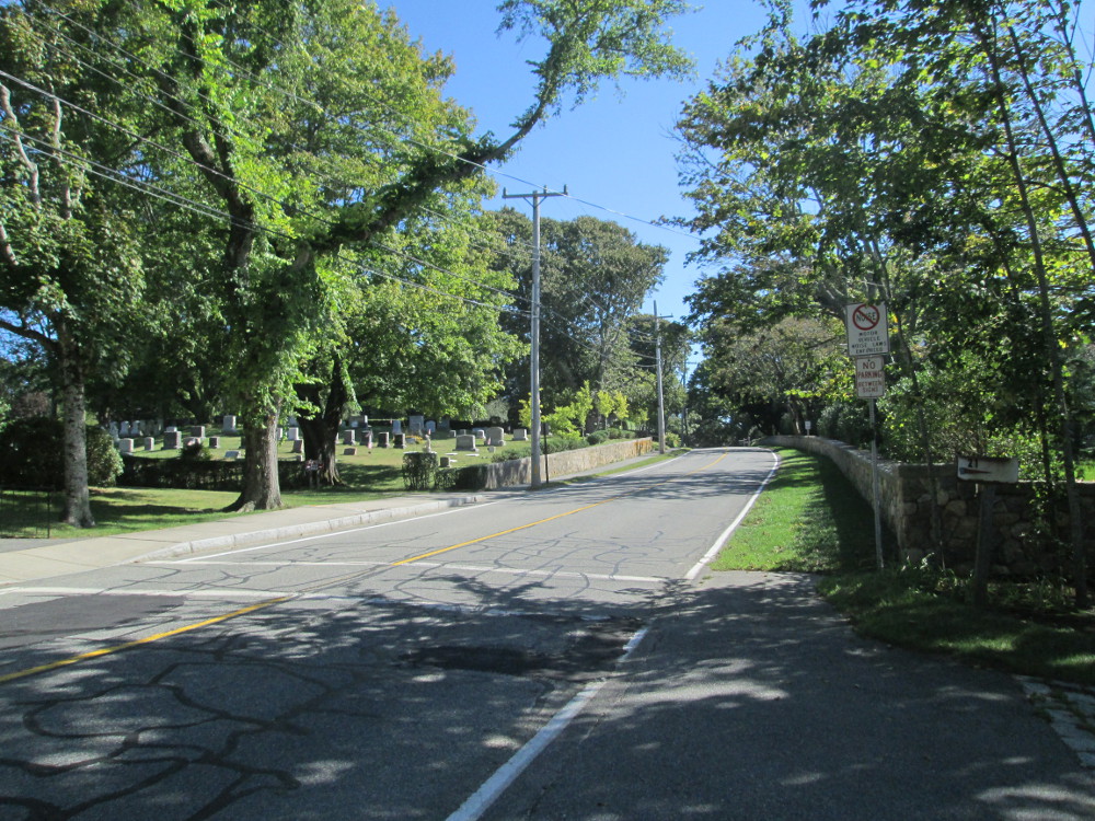
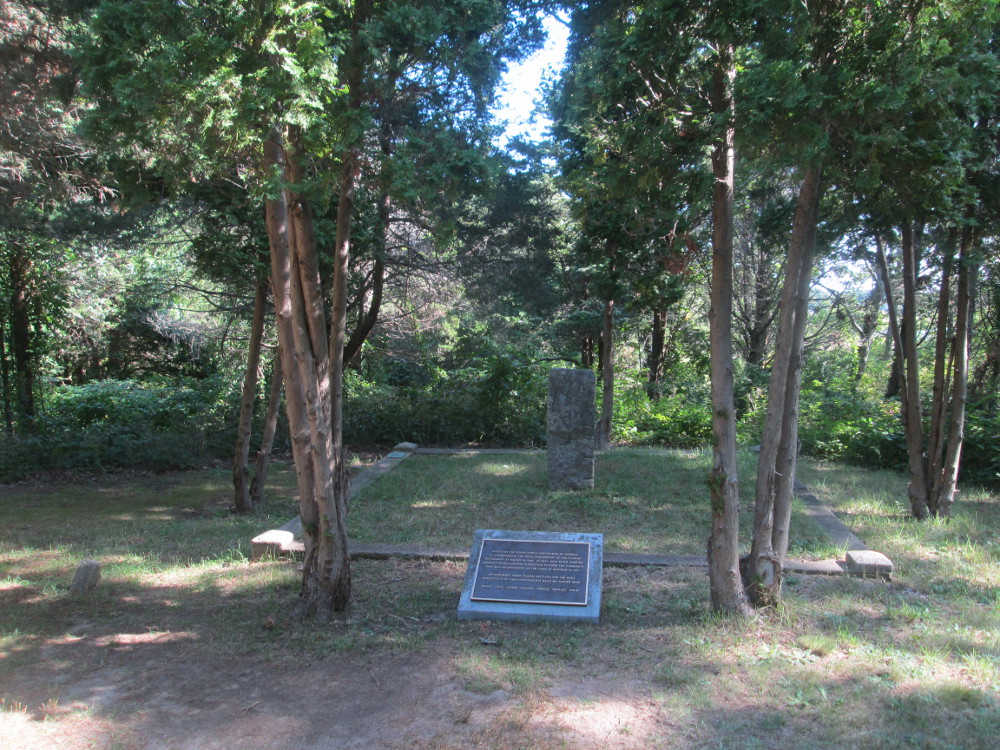
See
this cemetery somewhere along the way this morning
|
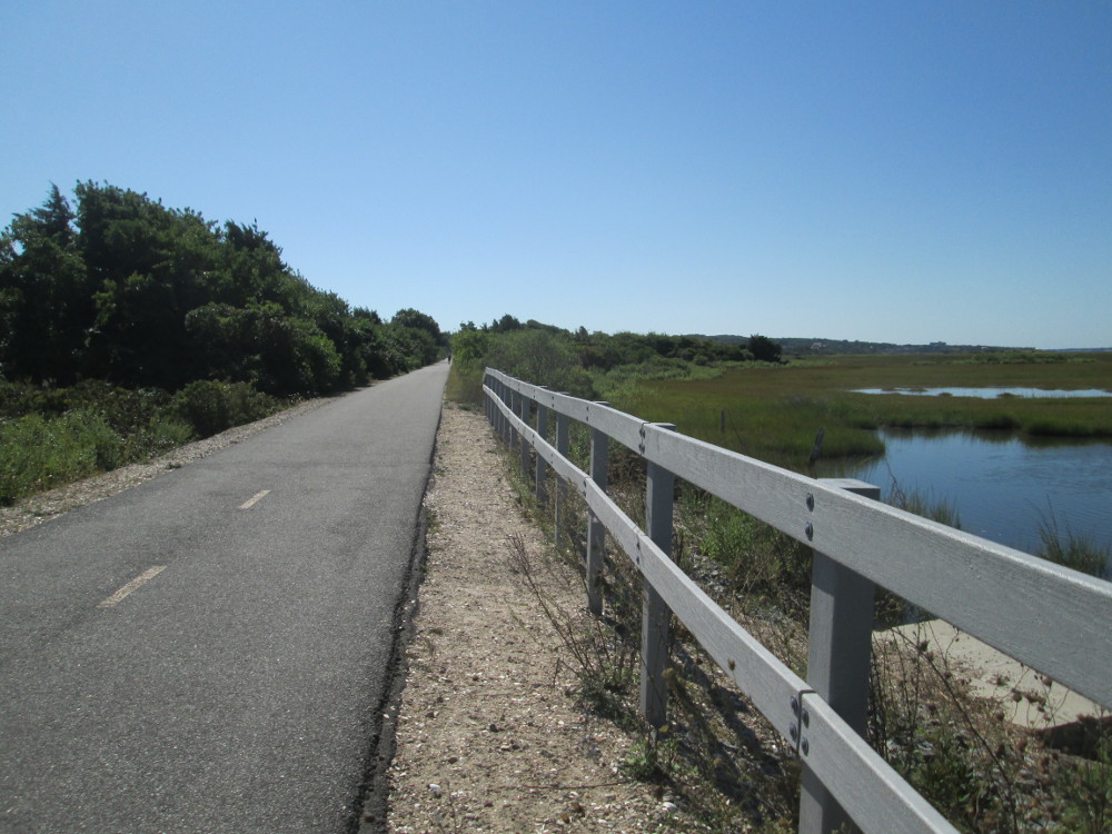
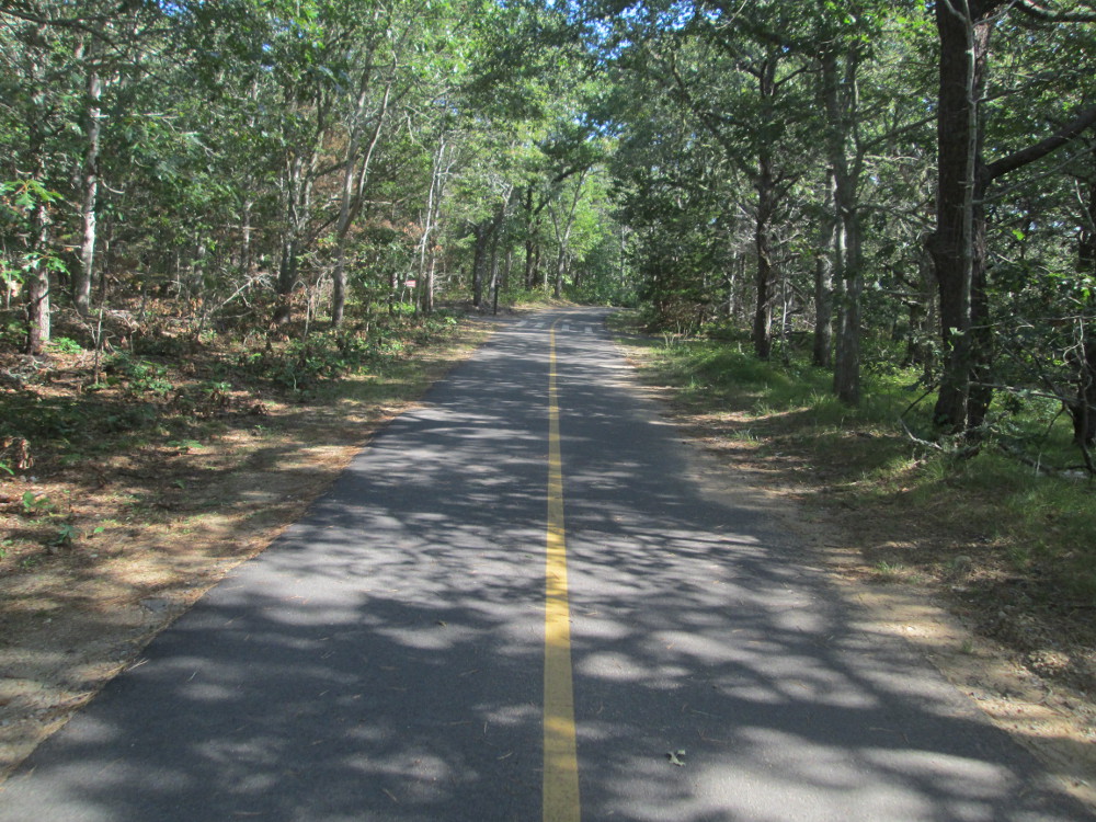
The riding
is almost like home where I live up north with rural roads with
trees, breaks in the treed landscape, and just a few cars most of the
time. In Cape Cod, though, there are some more southern trees and
fewer evergreens.
The scenery changes markedly and
improves after University of Massachusetts at Dartmouth. I circle the
campus and find many cyclists riding around, and note the signs, as I
leave the campus, that indicate that today was a bicycle century day
with other longer and shorter routes also occurring. Over the next
few miles, I see lots of riders returning to the campus in this huge
event ... maybe 100 times the number of participants in our tour?
Quite an impressive number!
The views are much better after U
Dartmouth. I can see the ocean and smell it a bit – great stuff
to a landlubber like myself? An enlightening experience, eh? The
amount of displayed wealth improves: the houses are all mansions, or
at least well kept. All the yards look immaculate. There are no
longer any lots with junk piled in them as there were earlier today.
This is definitely upscale.
|
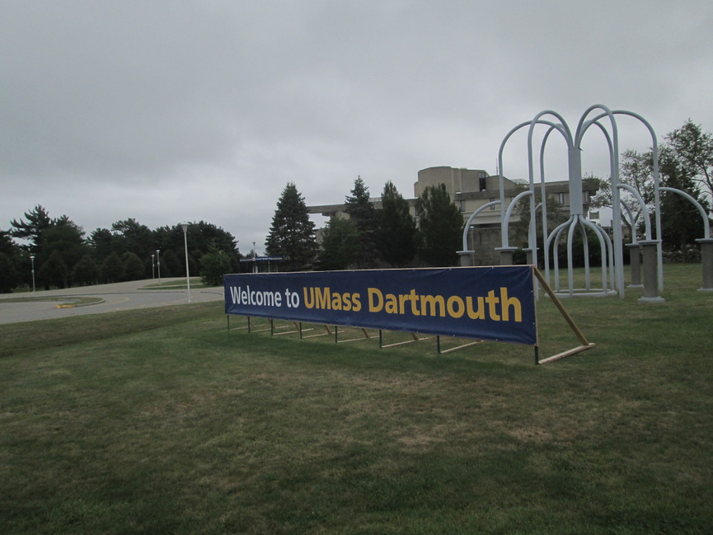
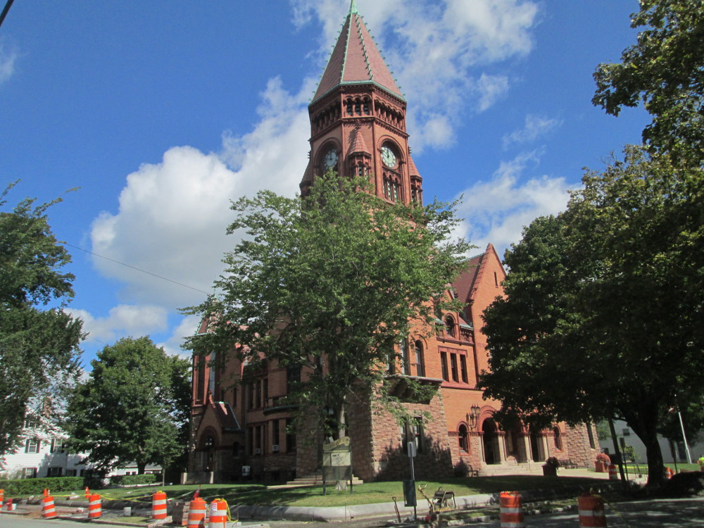
University
of Massachusetts at Dartmouth
|
Speed
Limit 25 mph, Westport, MA
|
|
Bell
School House, Westport Historical Society
|
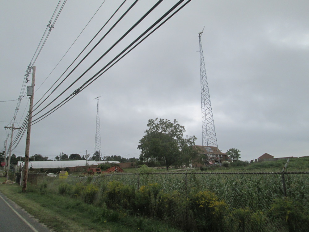
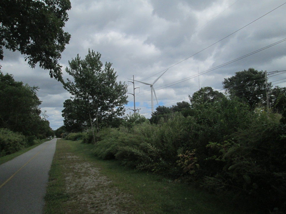
Wind
power
|
I just need to see some more and
explore some more of this area. I take a side route on Main Road in
Westport, MA. Near these houses, I talk to woman who is out riding on
a racing bike in racing gear, whose 65th birthday is today; she's out
for a ride; regularly goes on luxury tours with hotels and hot water
in the evening – I don't tell her, but our trip is more rustic
and closer to the land. I encourage her to investigate
www.adventurecycling.org.
She likes the tours and tries to ride 100 miles per week to train but
lately has only been doing 50 so cancelled going on a tour this fall
... too many other things to do, like a daughter's wedding. It's a
rather posh area of the country when I meet her out riding, err, just
starting. I ride along with her for a bit. Maybe I've found the love
of my life? My path out of poverty? But I stop when the route starts
going downhill ... best to leave on an uphill draft, eh? Or, at least
not too far down?
|
“Frog
Hollow Farm” on Main Road in Westport, MA
|
Riding
along Main Road in Westport, MA.
|
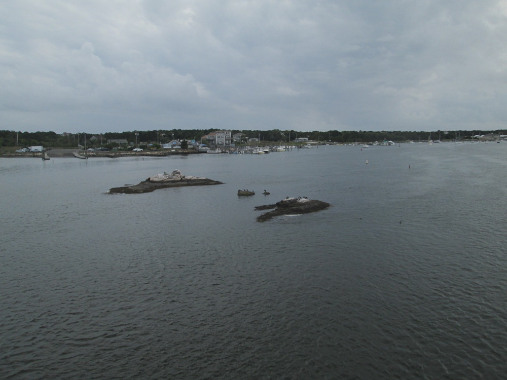
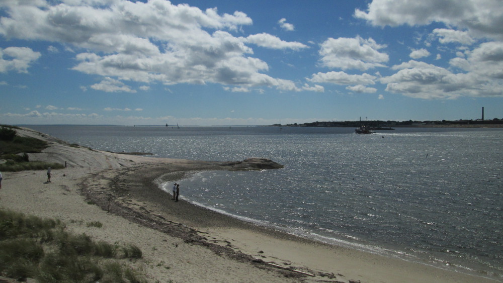
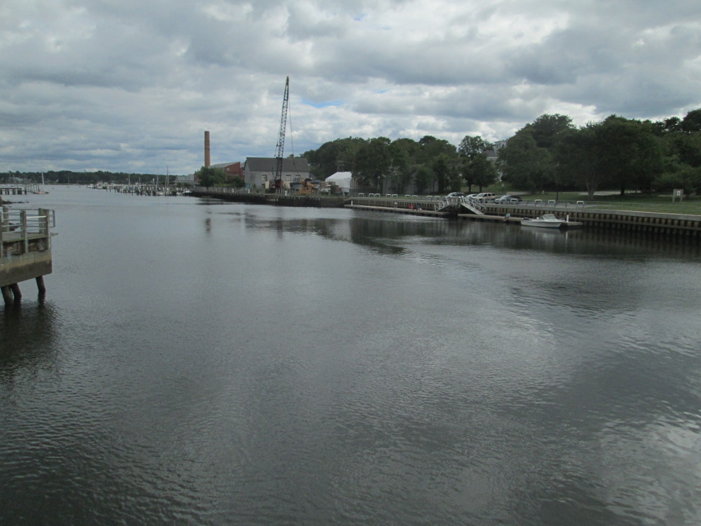
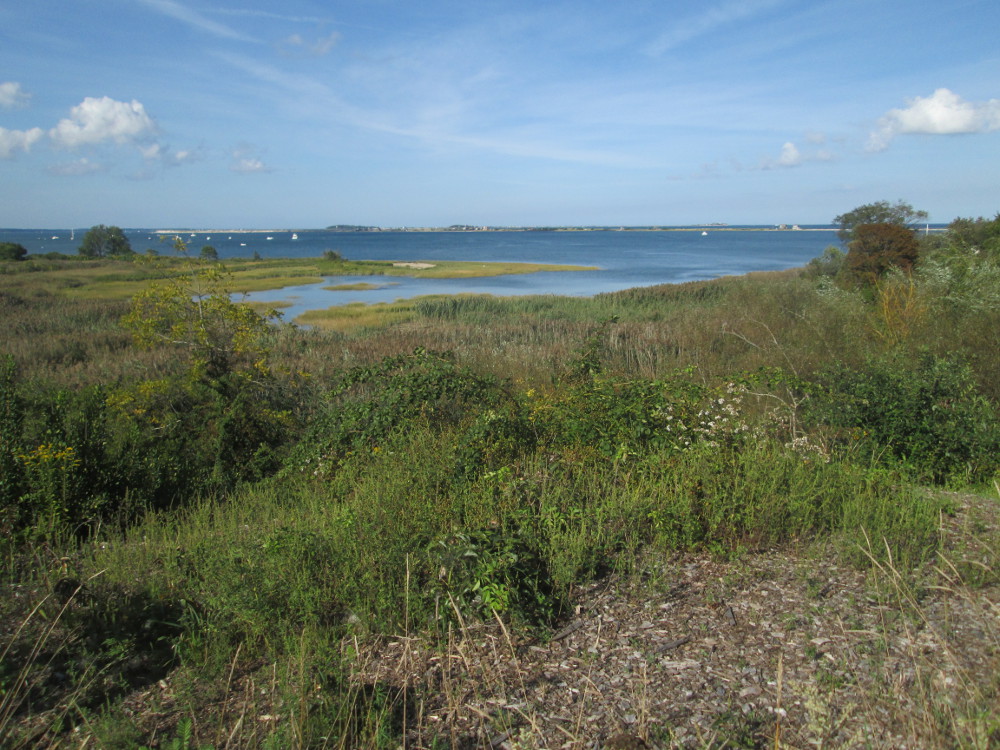
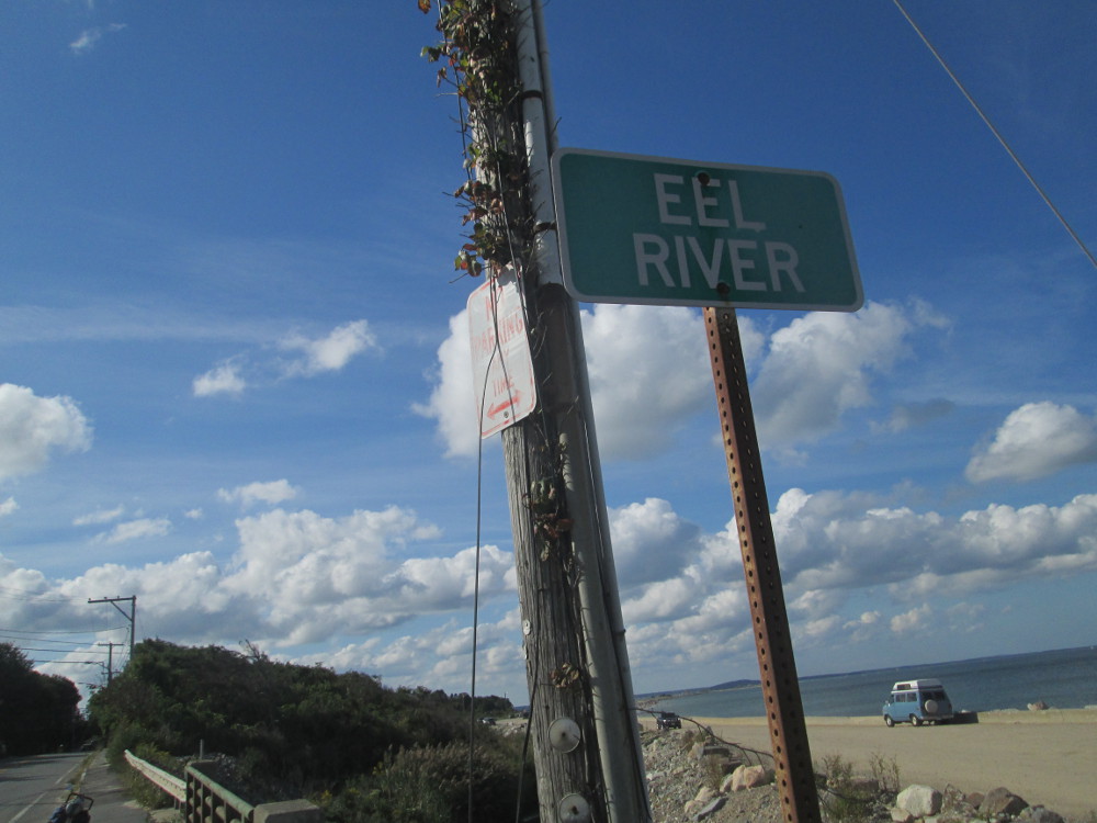
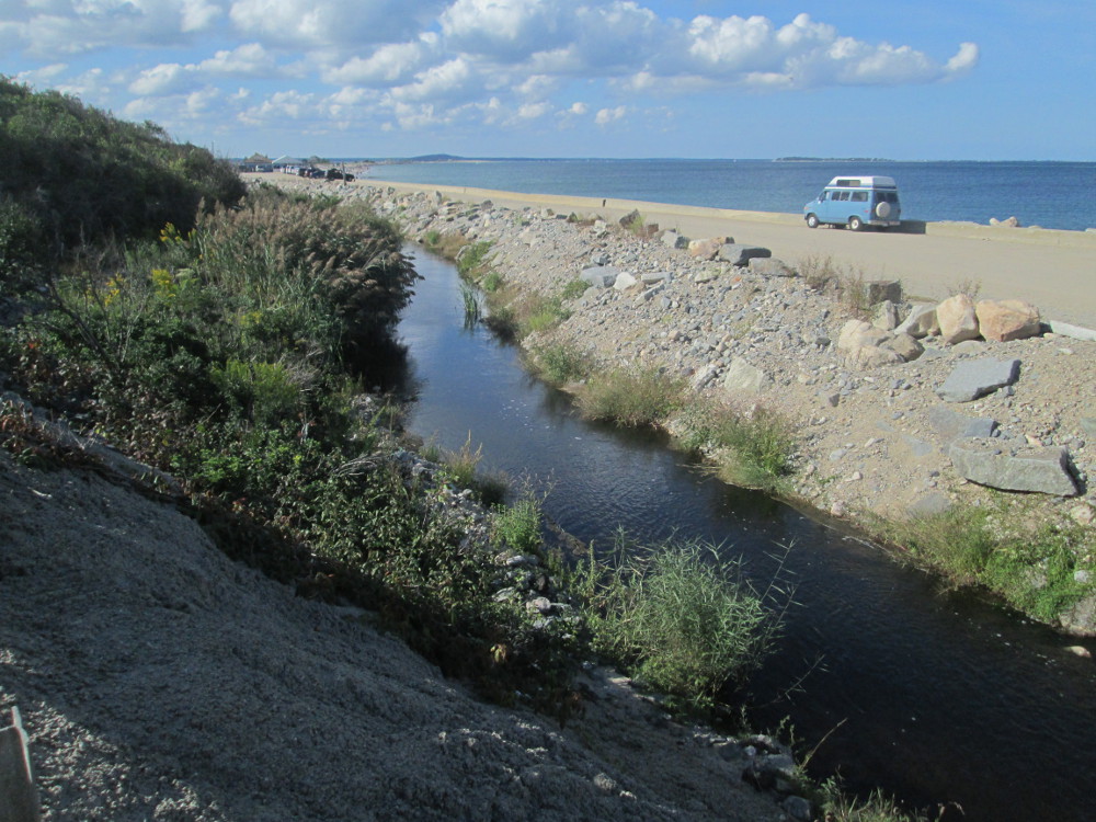
Shortly
after this is the causeway and bridge across Horseneck Channel to
Horseneck
Beach State Park where our group stays this evening. I take many
pictures of Horseneck Channel.
|
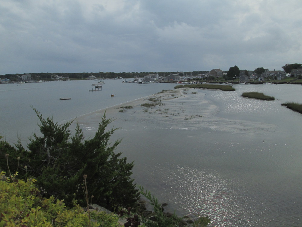
Horseneck
Channel
|
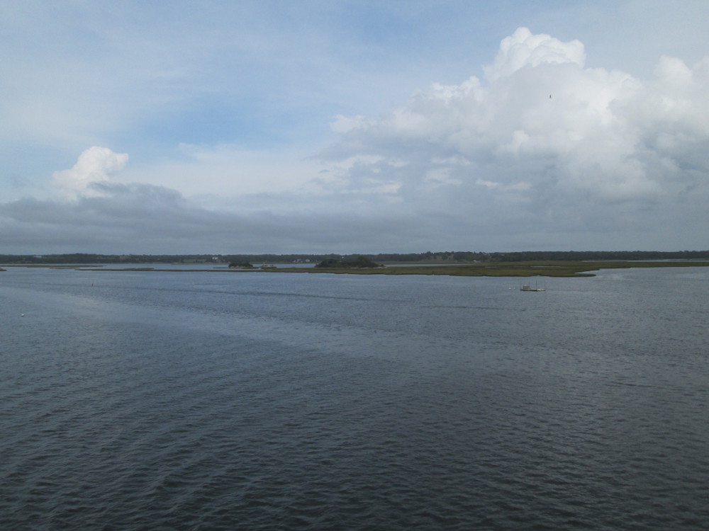
Horseneck
Channel
|
|
Horseneck
Channel
|
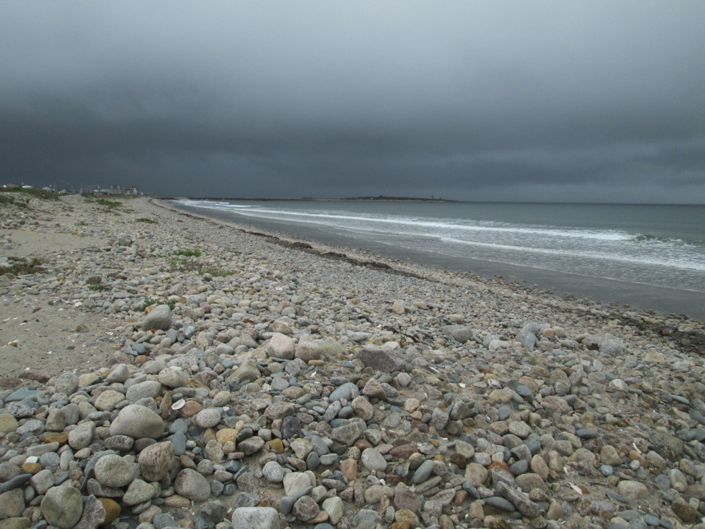
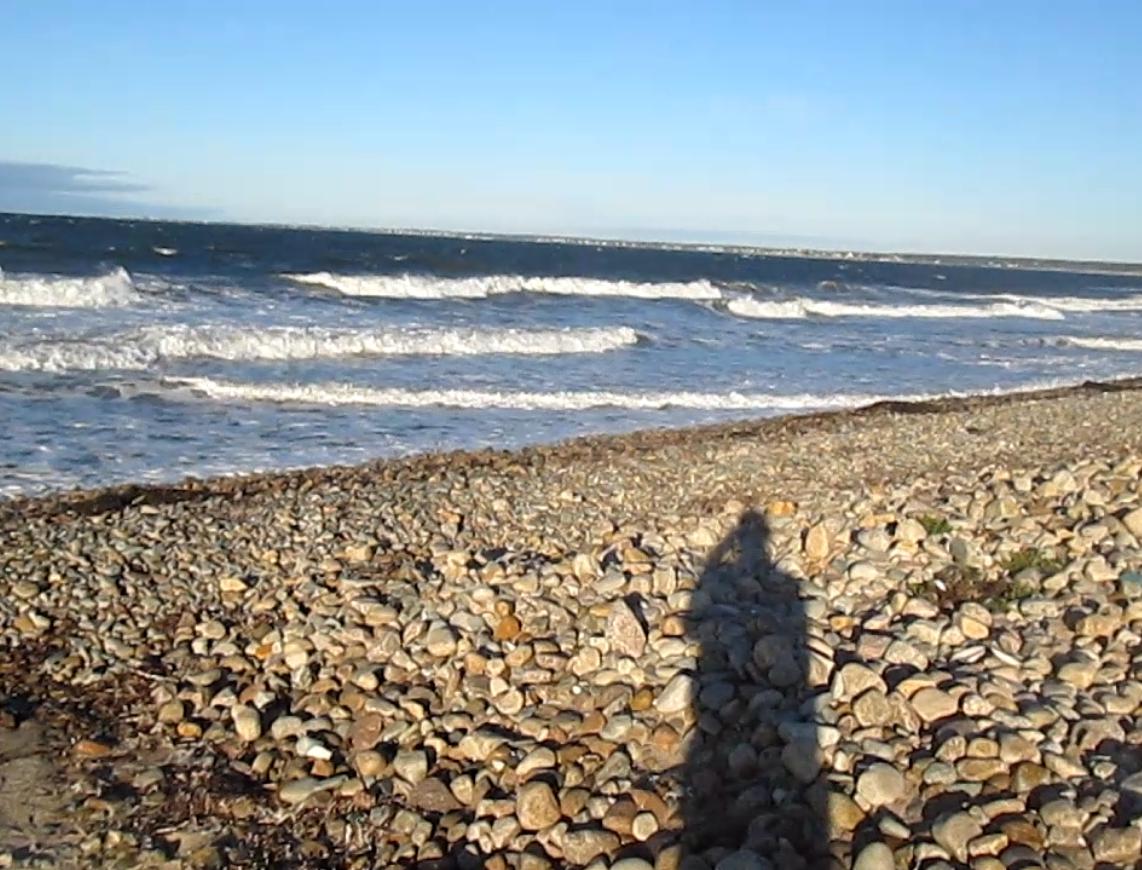
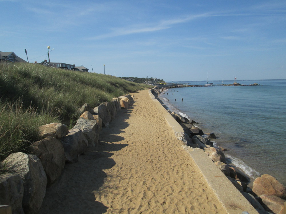
Storm
coming along the beach in Horseneck Beach State Park
|
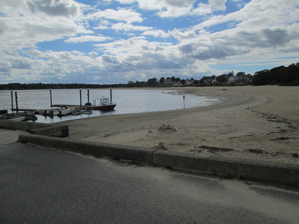
The tour
pauses for a few hours at Horseneck Beach State Park where we put up
our tents and sleep for a bit after eating some great food. It sure
is a windy place today. I walk the trail to the beach with Ms. Terry
and Dave. I know Terry from at least one other trip. We watch two
people try to swim in some huge waves.
The weather almost develops into rain
this evening before dinner, but holds off. There are huge black
clouds for awhile, but then only a few drops, followed by a gradual
clearing of clouds. It's very windy at camp this evening – a
good test of all our tents? The wind shifts direction when we're
sleeping. This is the most open campsite of all the trip ... ah, life
on the beach.
 Next
day – Day 2 of Cape Cod Trip
Next
day – Day 2 of Cape Cod Trip
On the
second day, the trip starts off going on a couple of side routes
around a couple of peninsulas. It's all somewhat the same: large lots
with expensive homes. There are a few people picking vegetables at 1
point in a market garden.
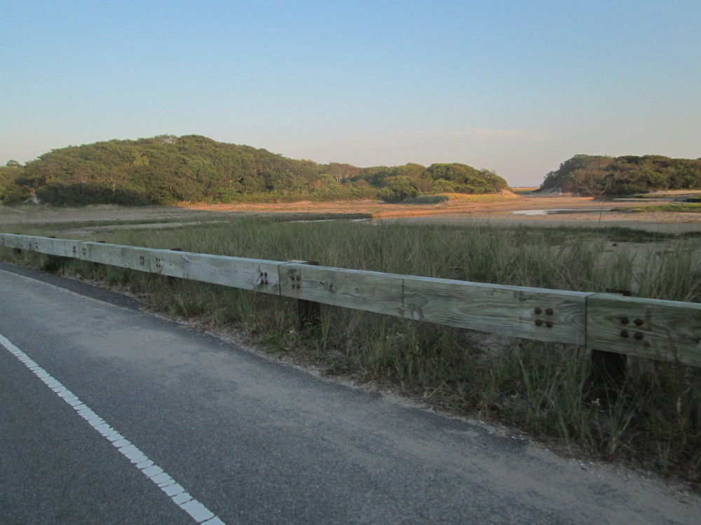
There are many fences of piled stones
along the road. I'm told these stones are from local fields, but the
stone fences are all well kept at the current time.
|
The
morning after the storm in Horse neck Beach State Park
|
East
Beach Road
|
|
Rural
road with stone fence
|
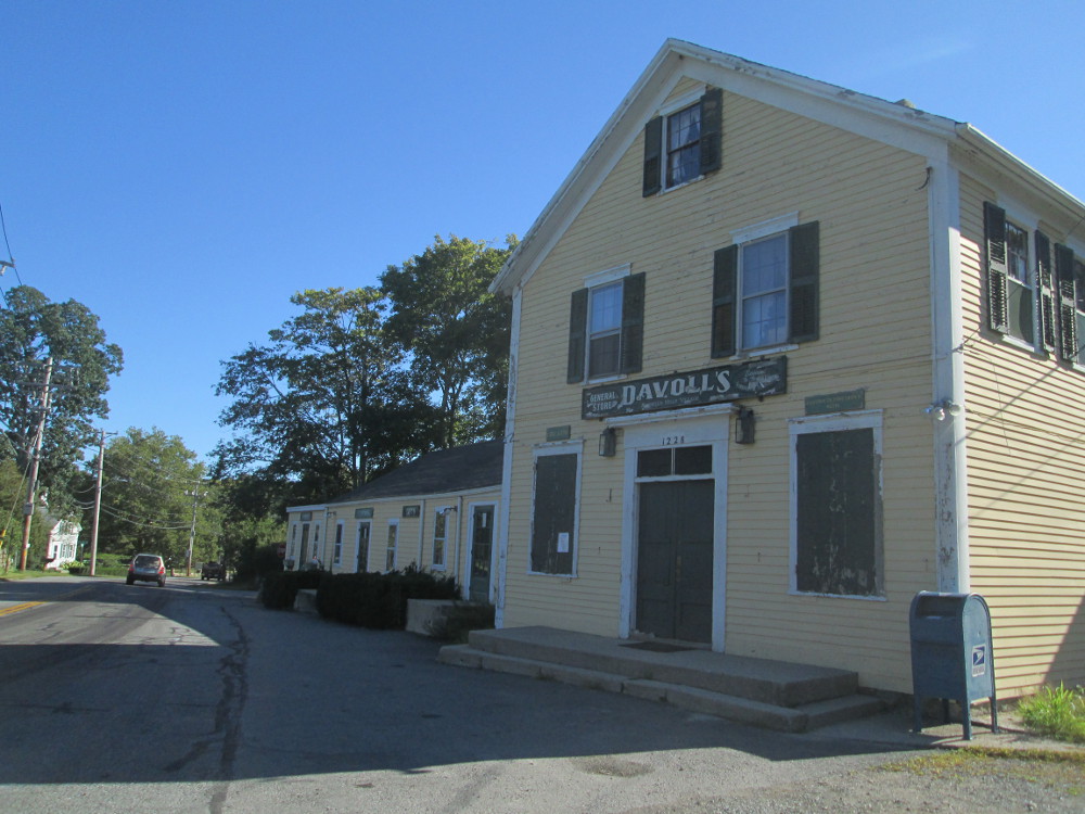
Davolls
General Store http://www.davolls.com/
“one of the oldest general stores in America in Russells
Mills Village, now part of Dartmouth
|
I do take
a picture of the sign in front of “Round Hill” estate,
but cannot see the main building. There are fences and guards all
around the property, then a forest blocking one's view of water and
the main building that is featured in the sign that supposedly is
historically significant, at least, that's what the sign claims. So
much for a fulfilling life as a tourist.
In contrast, I do see and appreciate
the Quaker Meeting House across the street in Apponegansett. SPICE:
simplicity, peace, integrity, community, equality. Great values to
live by. Some of these thoughts flow forward to modern mindfulness.
|
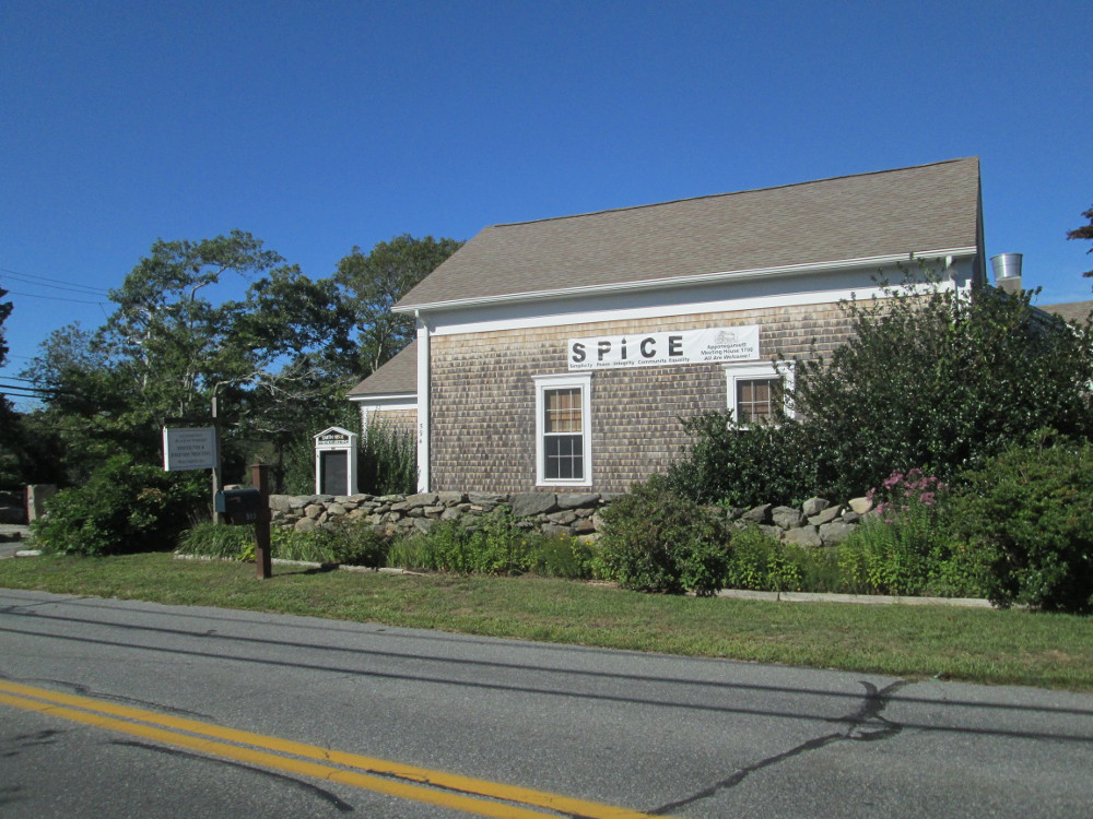
SPICE:
simplicity, peace, integrity, community, equality; Apponegansett
meeting house
|
|
I find
this interesting “Spirit of the Immigrant” memorial
outside Southworth Library in Dartmouth. The memorial was designed by
Azorean-born artist Alvaro Raposo De Franca to commemorate the
importance of all immigrants. It was presented to Dartmouth in 1997
by its sister city of Povoacao, on Sao Miguel in the Azores. It is a
seven-foot-high bronze statue of a man with outstretched arms in
tattered remnants of clothing.
I go into the library, use the
washroom and get some water. It looks like a very nice library. Next
stop is the Big Value Outlet store next door. The sign, at the
front of the store, is being installed at that moment I'm here. The
store contains limited choices and items of clothing; looks like this
store only sells items for which it can get discounted prices?
Somehow I left home with only 2
t-shirts. I purchase a 3rd one this morning, at this Big Value
Outlet, for only $3. It looks like this is clothing with name
brand “Fruit of the Loom” on it that is fake brand-name
clothing as the trademark is crossed out on many of the items piled
in the store and the price is much too low. By the way, the t-shirt
has survived since that time. It's quite sturdy and keeps its shape
well when washed. Perhaps, it's a bit rougher on the skin than a real
“Fruit of the Loom” t-shirt, but still smooth enough to
wear.
|
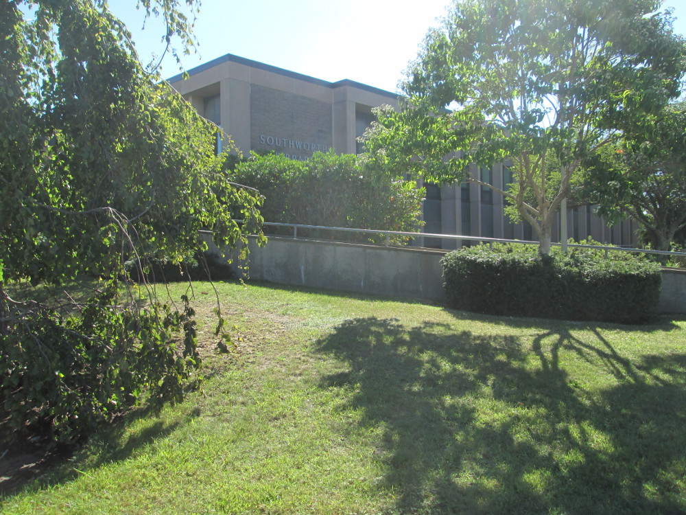
Southworth
Library
|
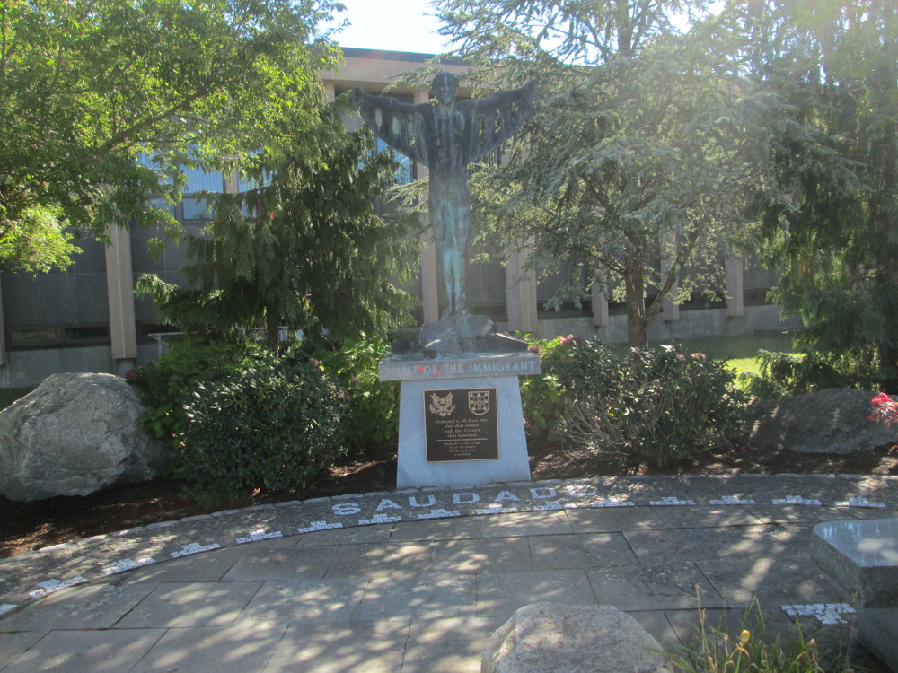
“Spirit
of the Immigrant” statue outside Southworth Library in
Dartmouth, a gift from sister city
of Sao Miguel in the Azores. “Dedicated to all those who
after their voyages made this Country their homeland.”
|
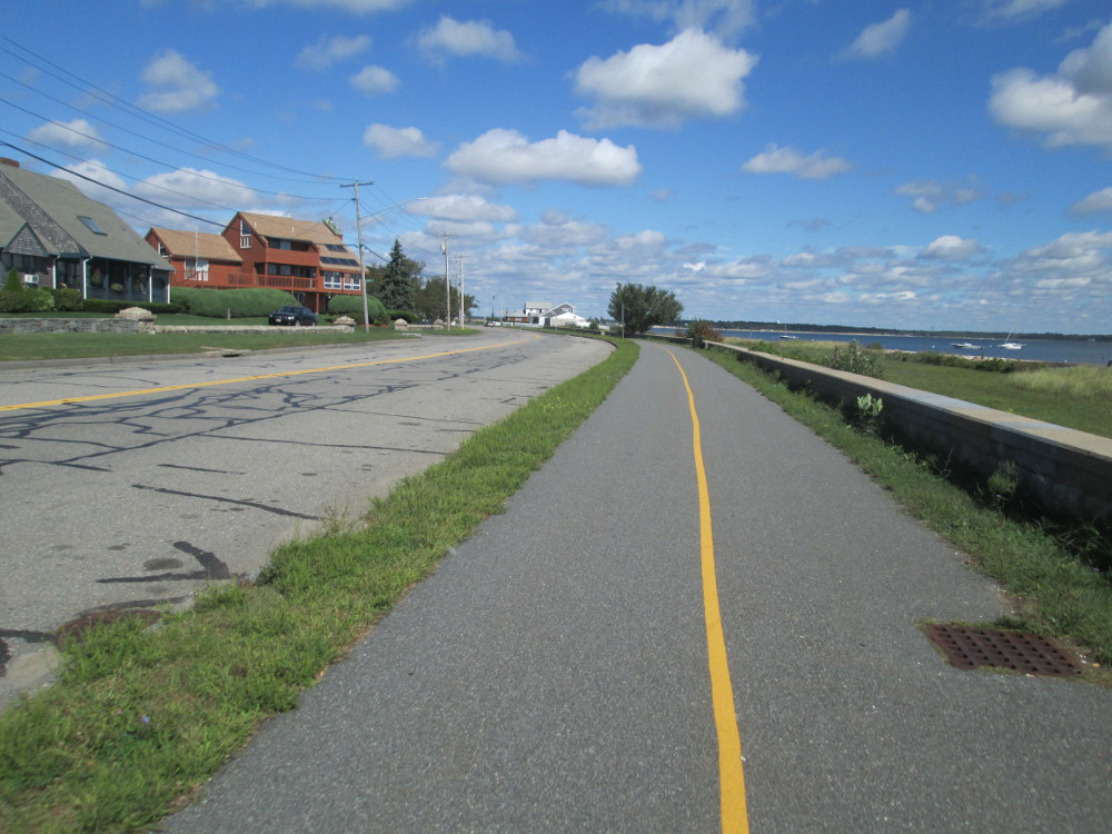
The next pictures are of my trip
around the peninsula of New Bedford. I enter New Bedford and soon
find a bicycle trail. It's quite empty today and looks magnificent. I
follow it along the seashore of New Bedford, on a small peninsula. I
gather some other people on the tour stopped at an interesting
whaling museum in New Bedford, but it's such a nice day so I take a
slow ride on this bicycle trail to see what I can find. I usually
spend way too much time indoors – you know, in an office. It's
so great to be outside all day and it's such great weather –
sunny with a few clouds, warm enough for a t-shirt and bicycle
shorts!
|
Rodney
French Blvd, New Bedford
|
U
Massachusetts Dartmouth Marine Campus
|
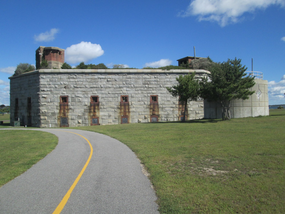
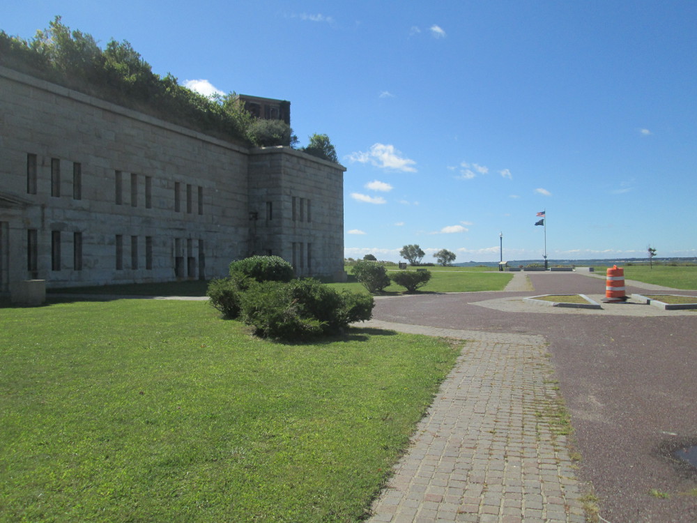
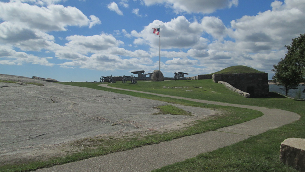
The first
big fort of the trip is Fort
Rodman at Clark's Point in New Bedford that was started, but it
never quite completed for the American Civil War. Instead, the need
for defence during the Civil War was augmented by Fort Taber that was
an earthen work fort near by. Fort Taber is now just an image, an
outline in the ground in the Fort Taber Park. The remnants of Fort
Rodman continue to this day. It was later rebuilt under the Endicott
Program, an effort to have better coastal defences in 1898.
|
Fort
Rodman protecting New Bedford?
|
Fort
Rodman
|
|
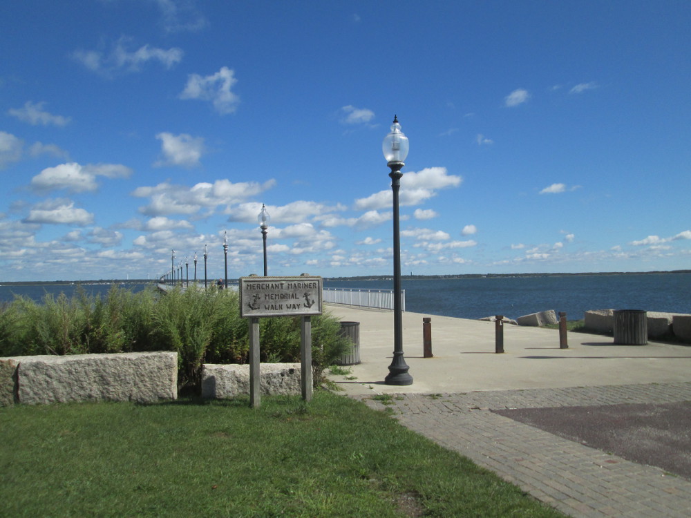
Merchant
Mariner Memorial Walkway
|
Rodney
French Blvd
|
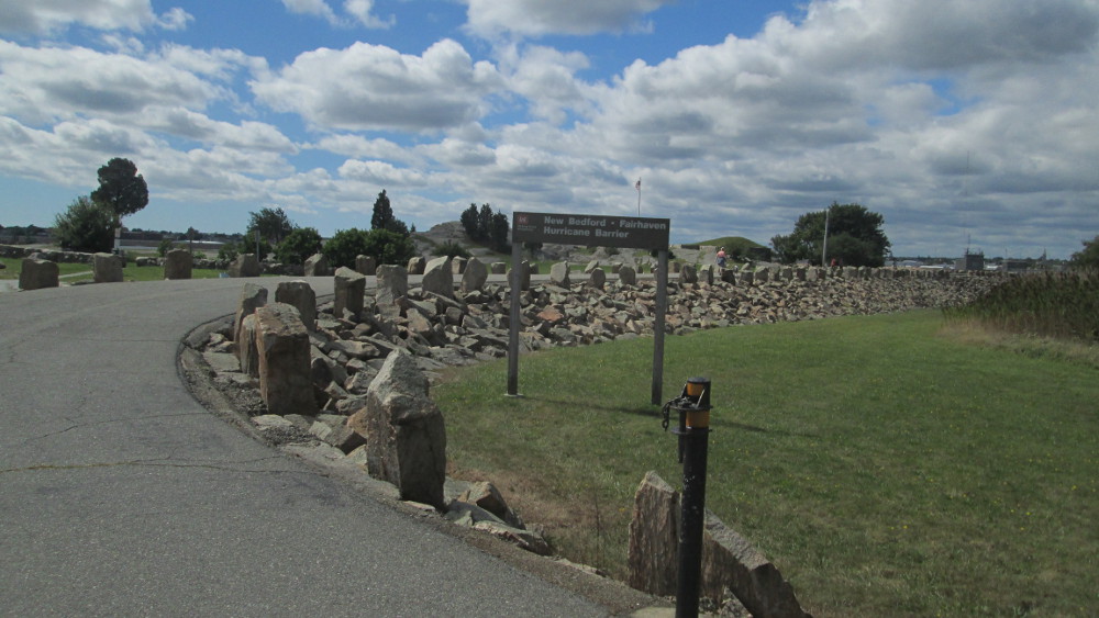
I notice
how the road that I'm riding beside on a bicycle trail, Rodney French
Boulevard, goes through huge steel gates with high piles of rocks on
each side ... this is the New
Bedford Hurricane Protection Barrier. Obviously, the doors are
closed when a hurricane is expected.
|
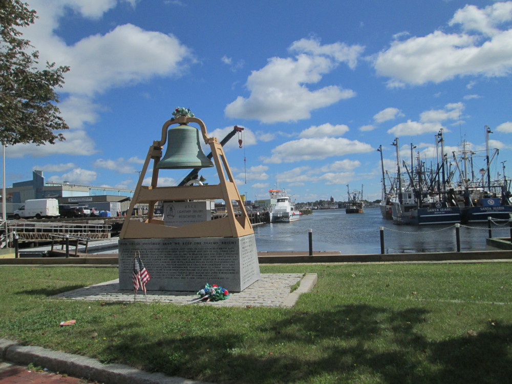
Memorial
to Lightship sailors of US Coast Guard in New Bedford
|
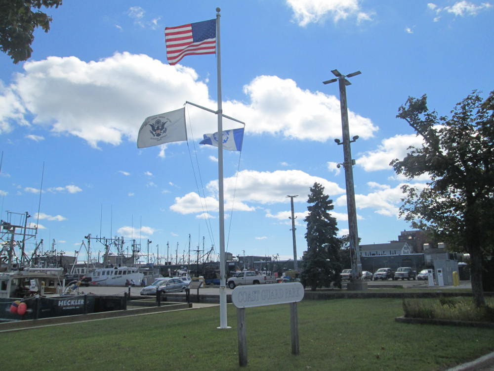
Coast
Guard Park, New Bedford
|
|
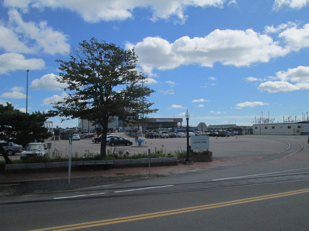
New
Bedford State Pier
|
New
Bedford
|
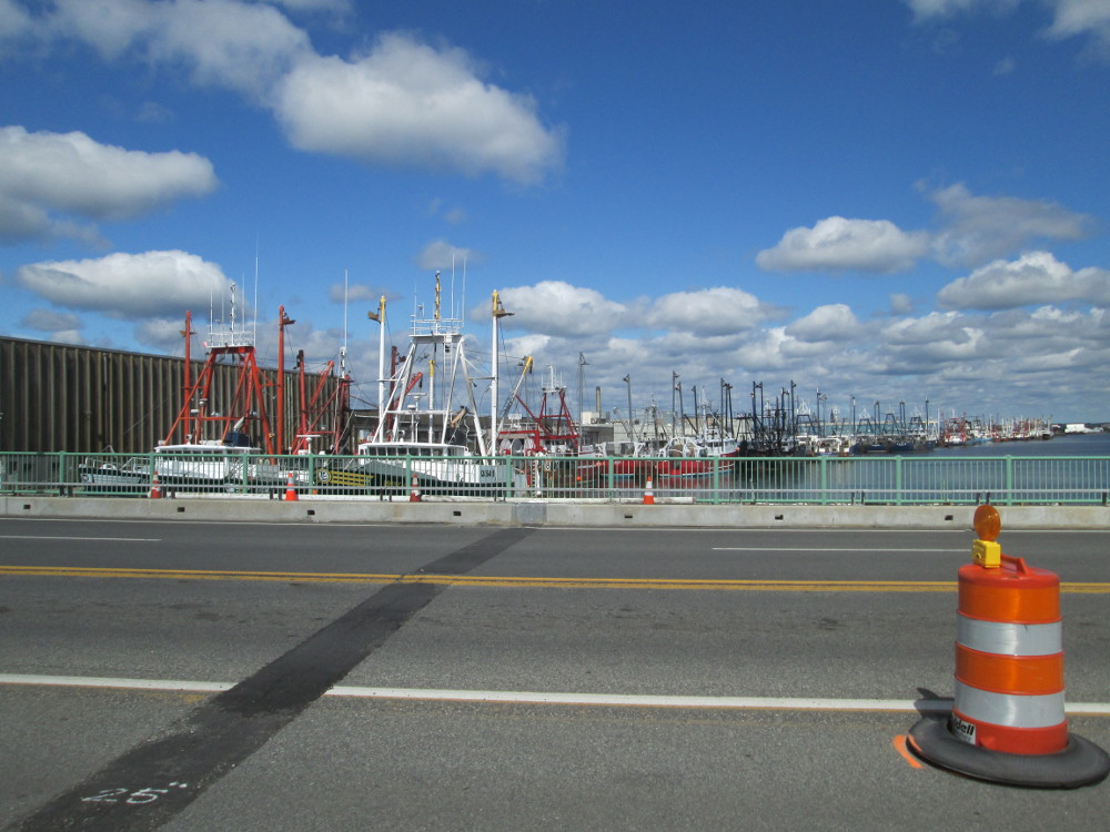
After New
Bedford there's a bridge to Fairhaven. It's behind the Hurricane
Barrier.
|
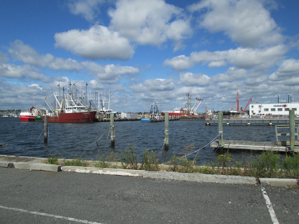
Docks
in Fairhaven, Massachusetts
|
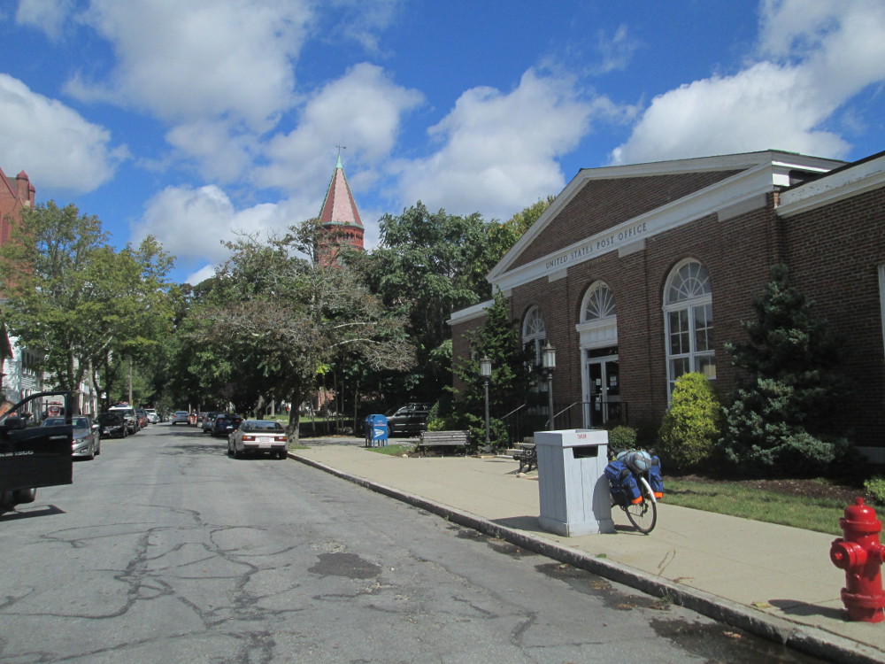
US
Post Office, Fairhaven, Massachusetts
|
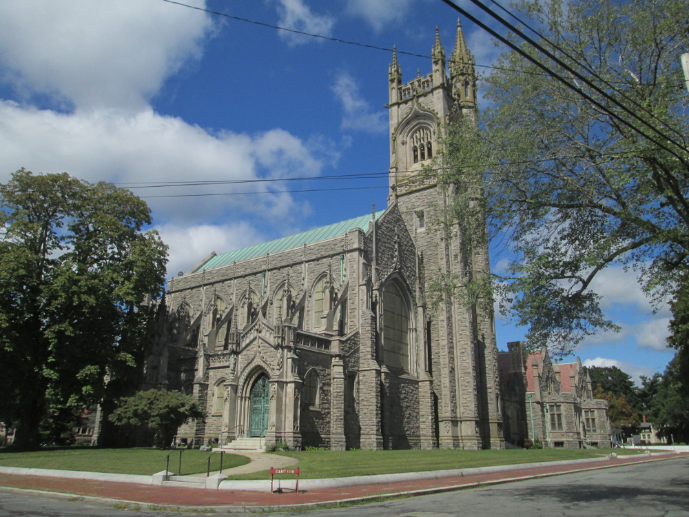
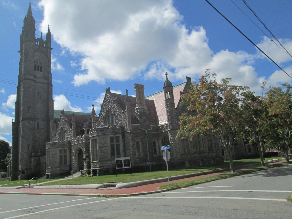
In
Fairhaven, I see an old church, go towards it and find a historic
district with large church, many homes, and a library from 1840's
|
Fairhaven
Town Hall
|
Unitarian
Society of Fairhaven
|
|
|
Nathan
Church House, 1840, near by in Fairhaven
|
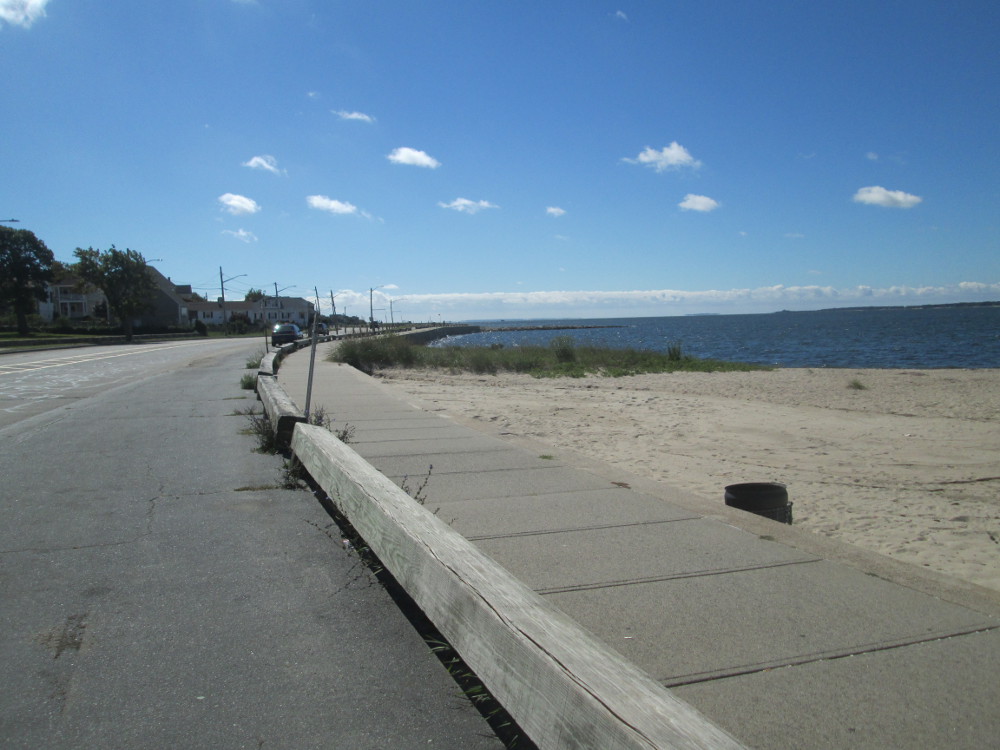
There are
piles of rocks along the shoreline in New Bedford and Fairhaven. A
sign says that this is the New
Bedford Hurricane Protection Barrier. Eventually I see the entry
for ships and can walk to it in Fairhaven. I bike to the gap that
ships pass through in calm weather.
|
New
Bedford Hurricane Protection Barrier
|
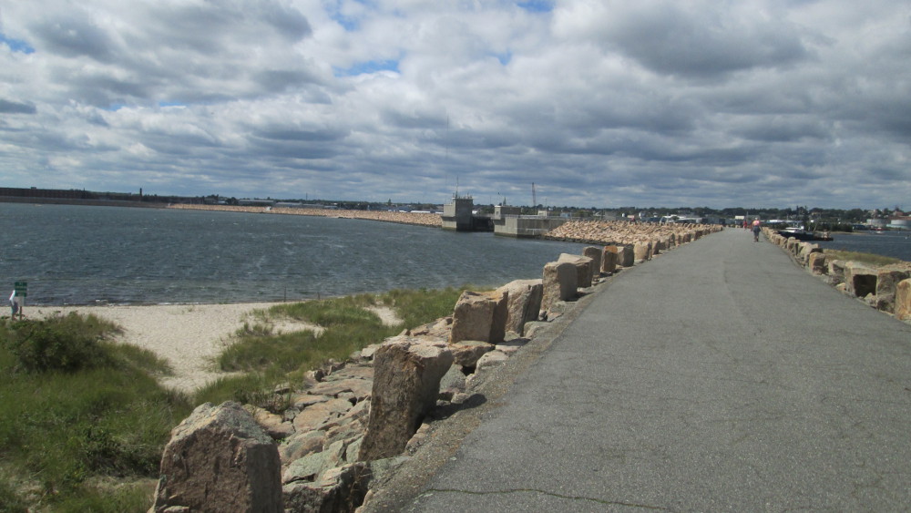
The
entry for ships through the New Bedford Hurricane Protection
Barrier as seen from Fairhaven
|
Shortly
thereafter, in Fairhaven, I find that I'm on Fort Street and go up a
short hill. Then I can see the ocean, so decide to go to the end. At
end is an ancient fort, Fort Phoenix.
|
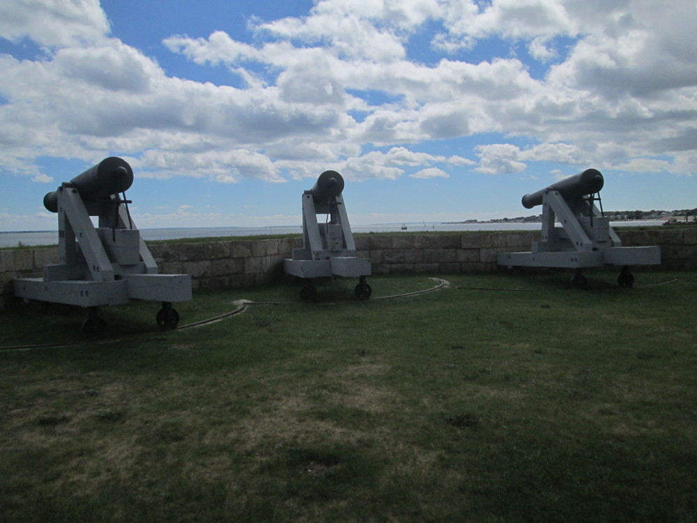
Fort
Phoenix 1775-1876
|
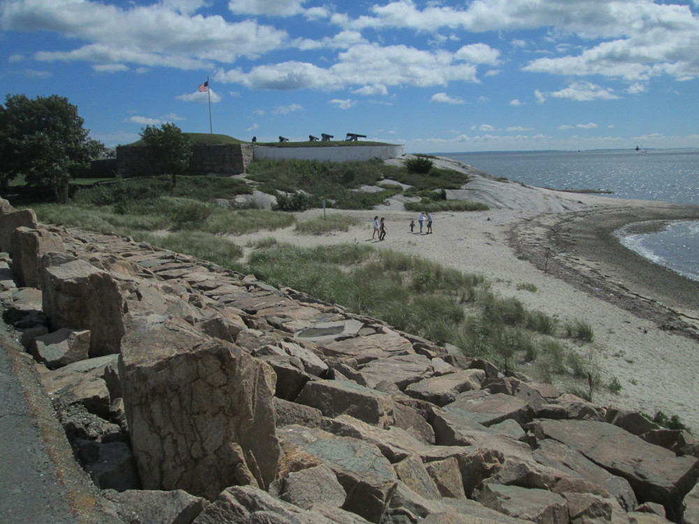
Fort
Phoenix
|
|
|
Fort
Phoenix
|
The route
continues along a bicycle trail after Fairhaven. I find the trail
boring as it just goes through a continuous forest. It gets to be
like a northern road, you know, all I see is forest-trail-and more
forest. I decide to take highway 6 instead as it runs parallel the
trail. Highway 6 would be rather dangerous during heavy tourist
season when 3 to 4 times as many people are here, but it's almost OK
today: most cars drive in the centre lane at this time of year. There
is almost a continuous stream of single family homes and small
businesses along the highway. There are a few closed businesses for
rent, but overall, all looks very prosperous. It's all rather
private, though: I go down one side road looking for the beach and
ocean, but there are no access points to be found. The road just ends
amidst house lots.
|
|
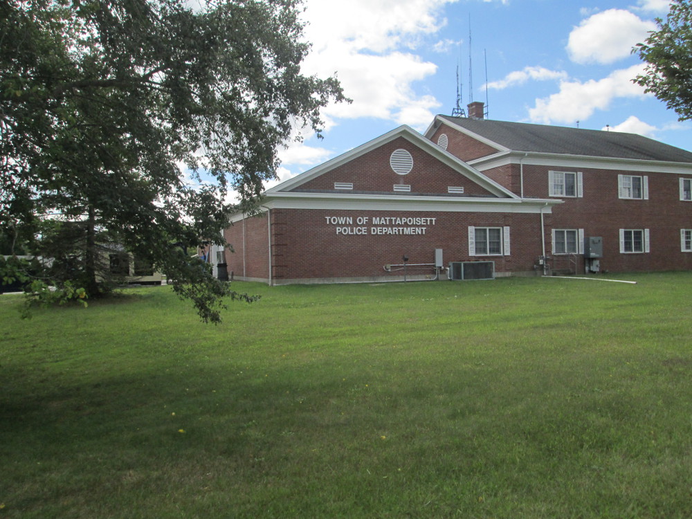
Mattapoisett
Police Department
|
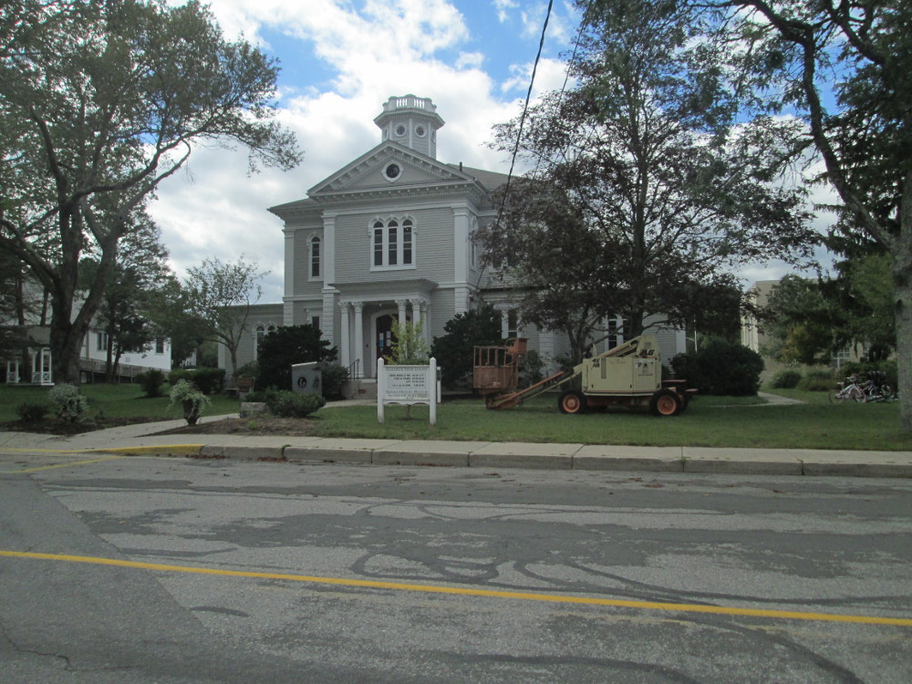
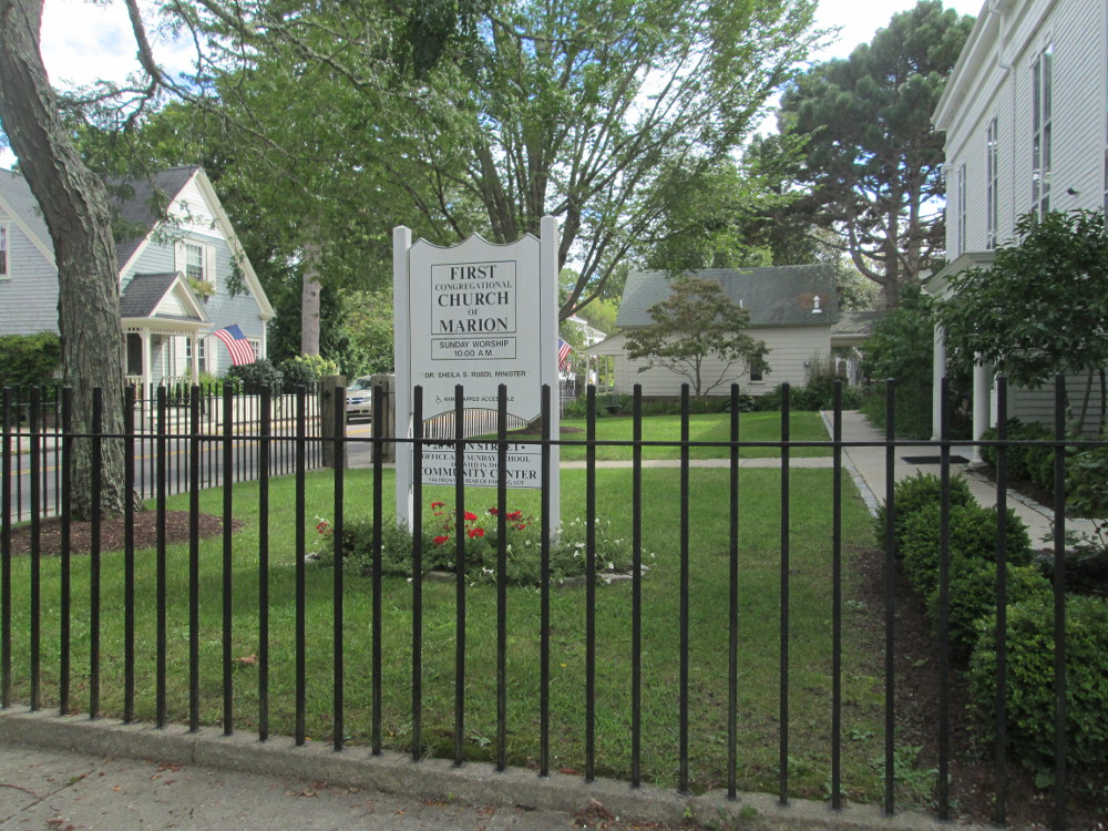
Luckily I stop and take a picture of
the town hall in Marion as this is point where the route of our trip
leaves highway 6 and proceeds through town on quieter roads.
|
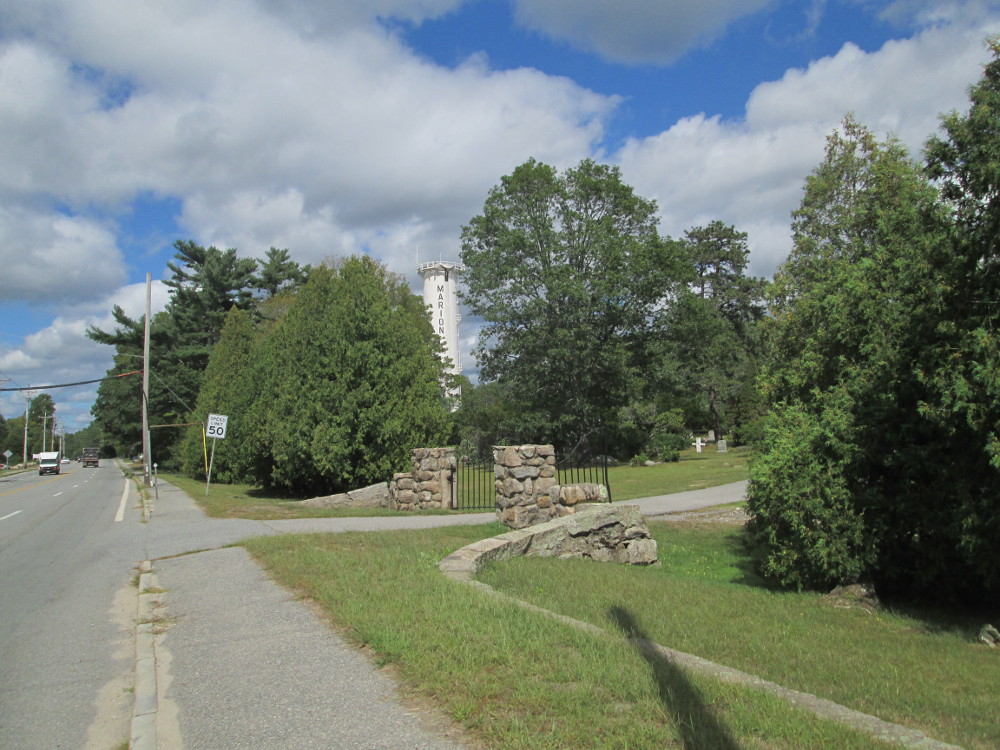
Water
tower of Marion
|
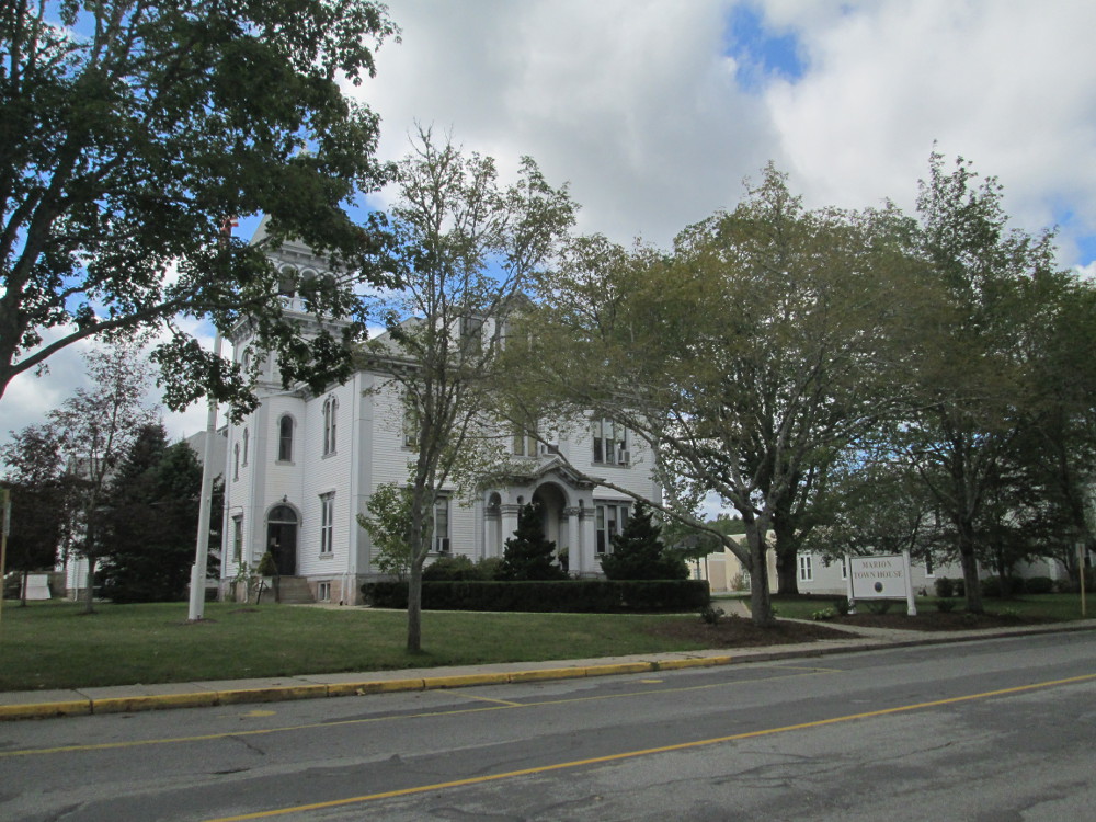
Marion
Town House
|
|
Elizabeth
Tabor Library, Natural History Museum
|
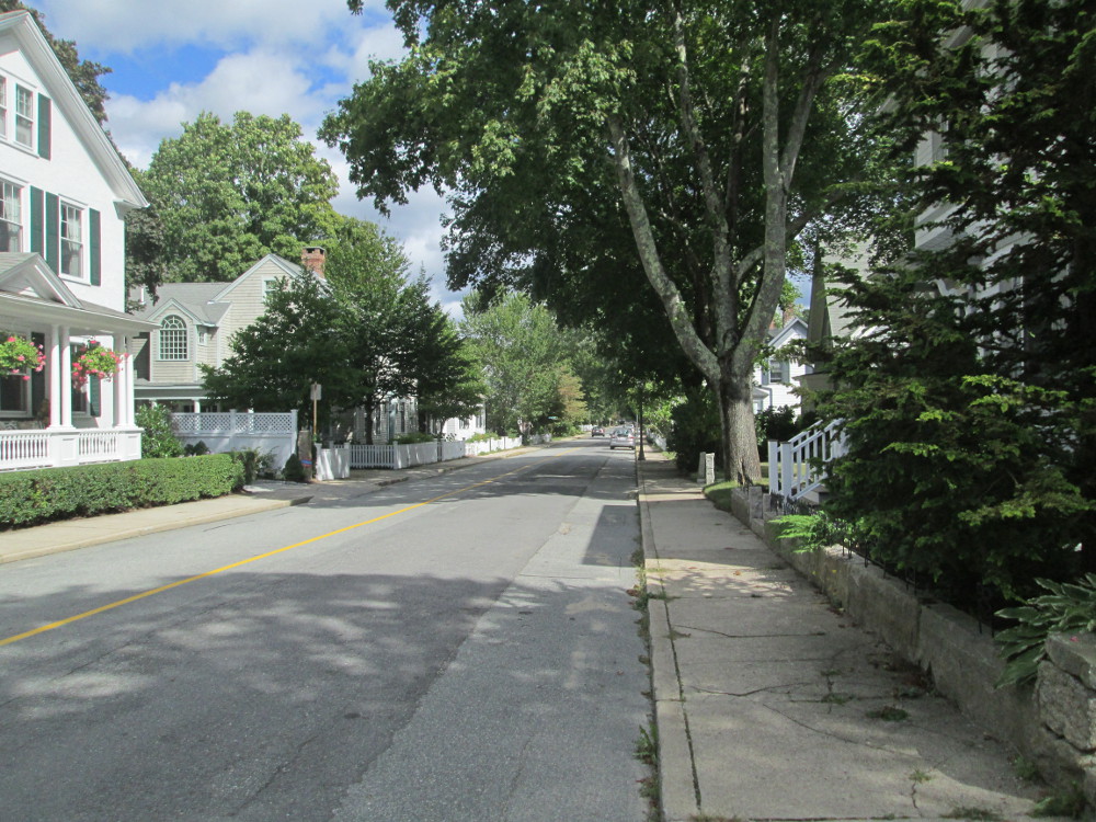
Main
Street, Marion, MA
|
|
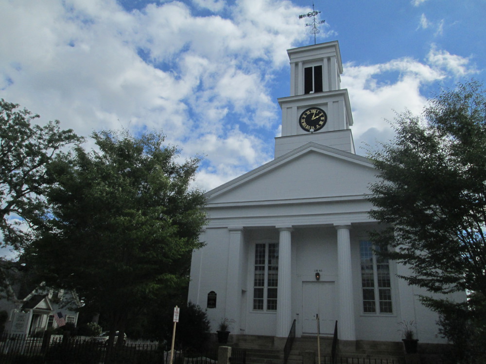
First
Congregational church of Marion
|
First
Congregational church of Marion
|
|
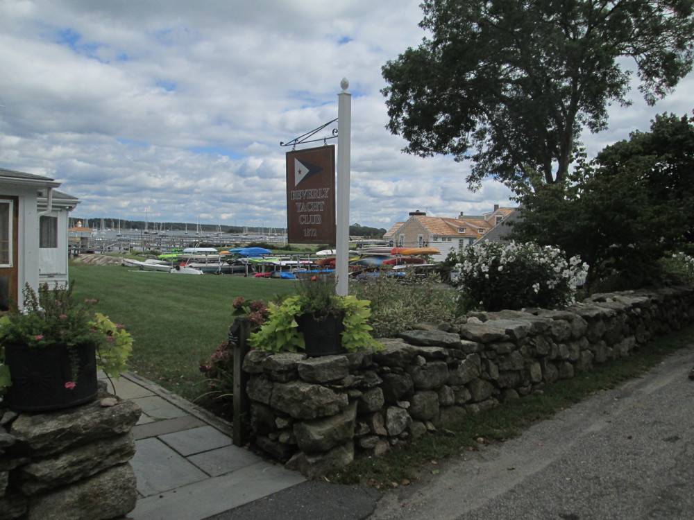
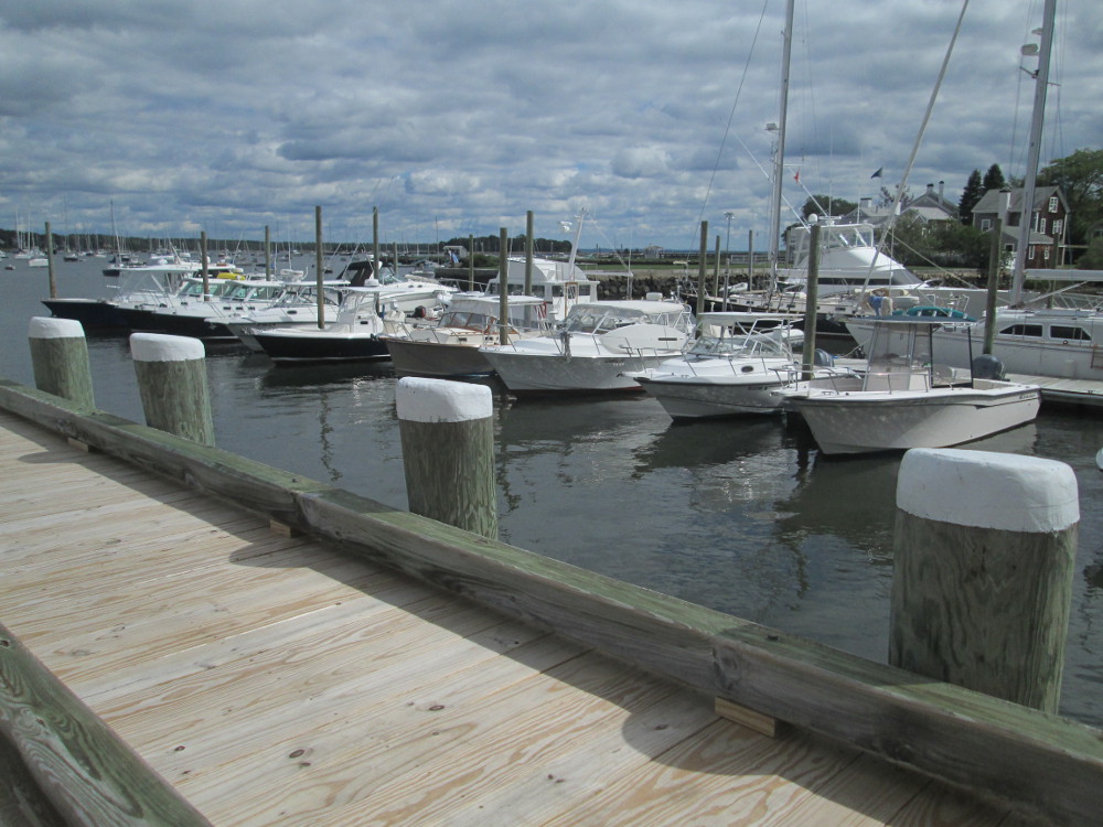
Beverly
Yacht Club, 1872
|
|
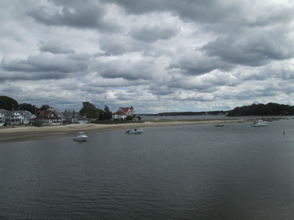
Soon I
ride through the historic Onset
Village that started in the 1800s as a self-sufficient resort
community.
|
Wareham
River from the bridge on Sandwich Road, Wareham, MA
|

Onset
Village, in Wareham, Massachusetts (Onset Village Ace Hardware
on the left)
|
|
Onset
Beach
|
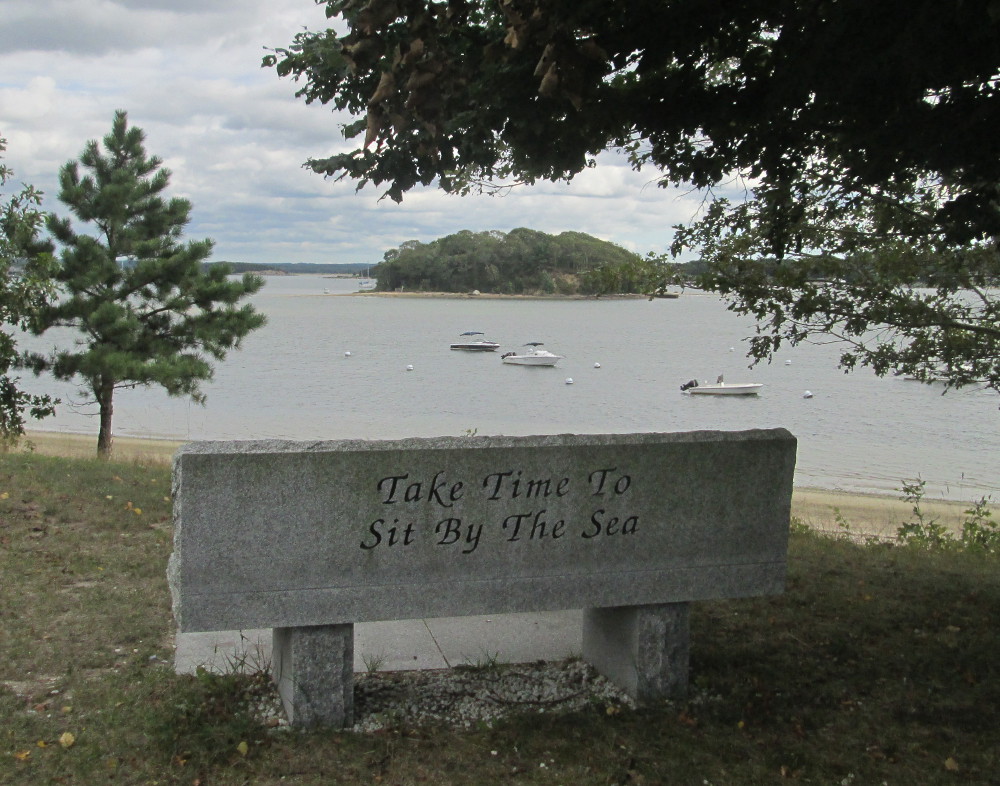
a
bit after this there's a bench with “Take time to sit by the
sea” written on it, Onset Avenue, Wareham, MA (just after or
still in the site of the historic Onset Village)
|
|
Broad
Cove of East River from Onset Avenue
|
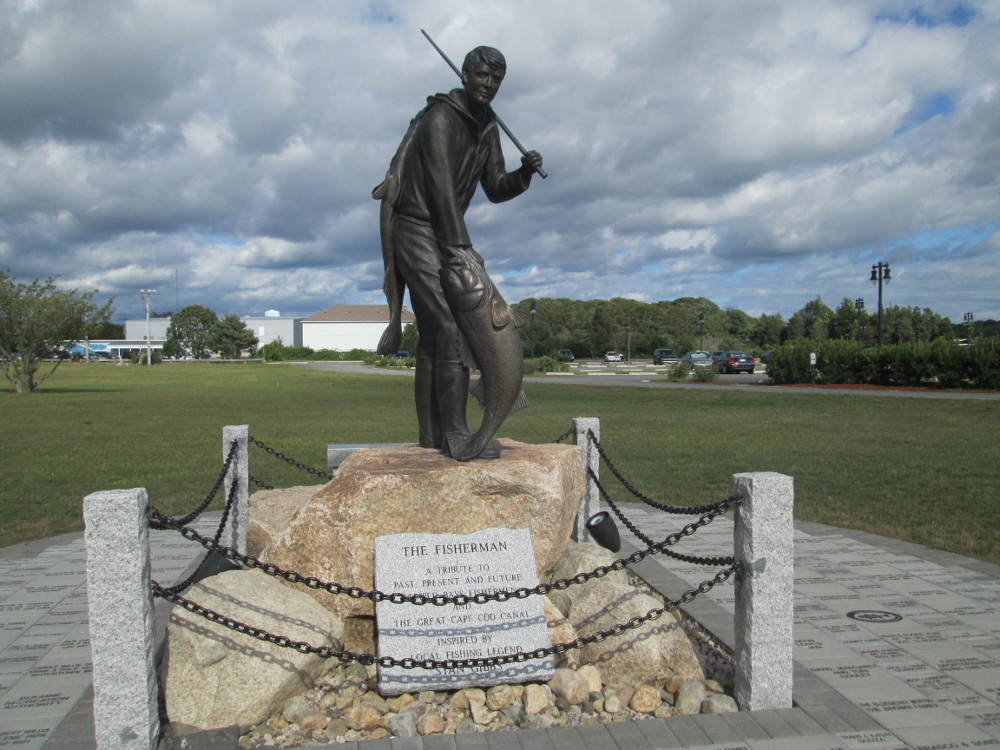
The
fisherman: A tribute to past, present and future Striped Bass
fishermen and the great Cape Cod Canal inspired by local fishing
legend Stan Gibbs, in park by Cape Cod Canal in Buzzards Bay,
Bourne, MA
|
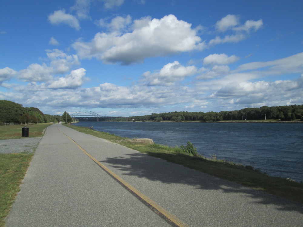
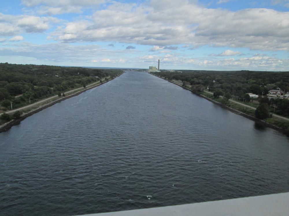
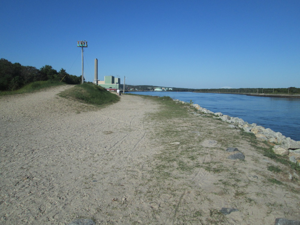
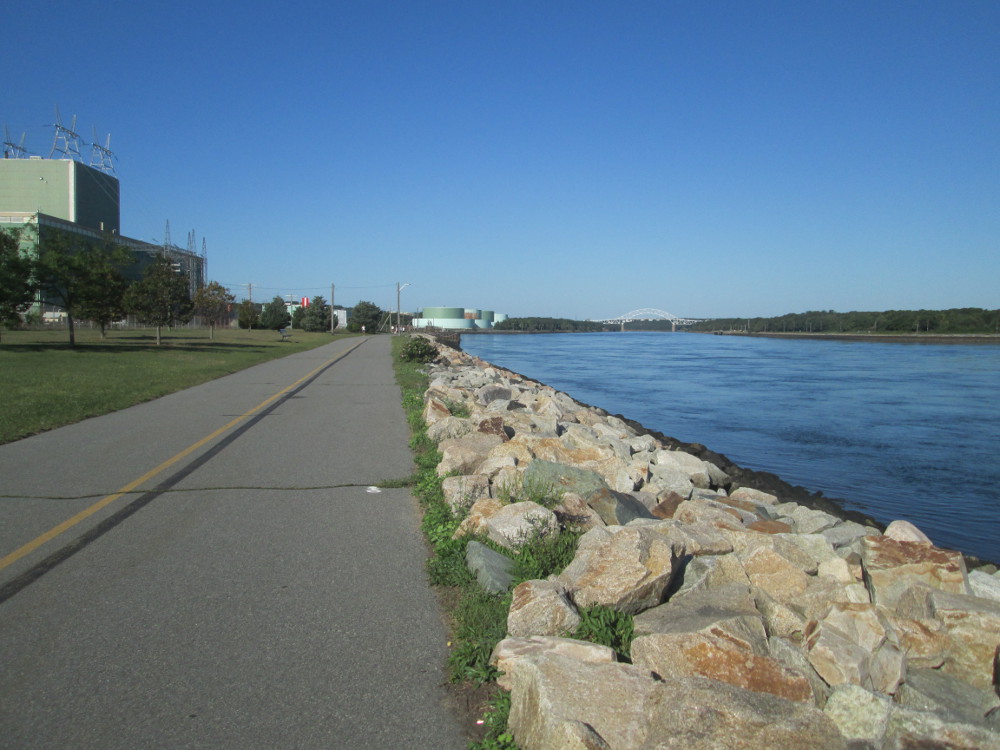
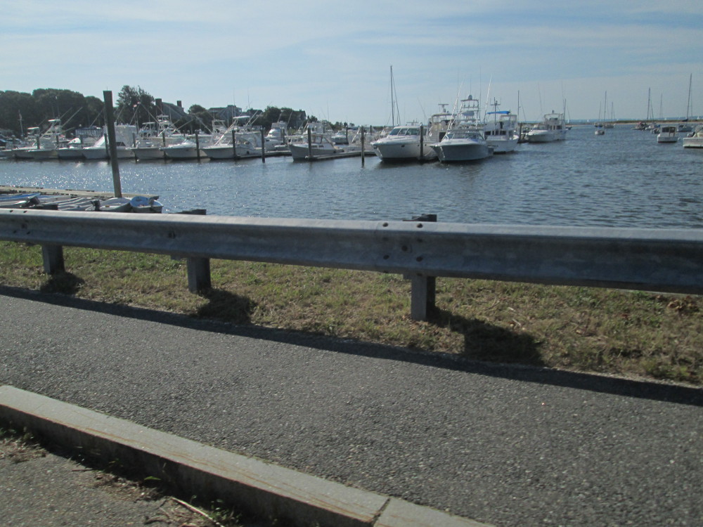
A bit further on is the Cape
Cod Canal at Buzzards Bay. We ride the 7 mile length of the Canal
on the bicycle trail to get to tonight's camp spot in Sandwich at
Shawme-Crowell State Forest. The current canal was opened in 1914 and
is the widest sea level canal in the world at 480 feet. Ships that
use the canal avoid the violent storms that occur at the tip of Cape
Cod. There are many ship wrecks there from the era before the Cape
Cod Canal.
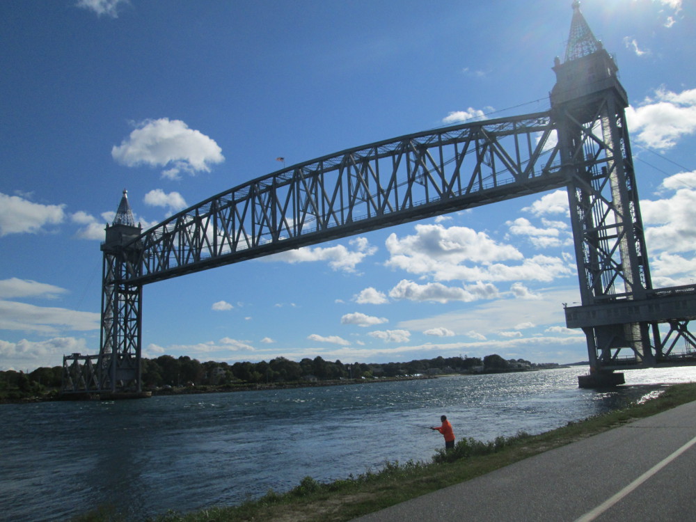
Near the western end of the Cape Cod
Canal is Cape
Cod Canal Railroad Bridge. It goes down and up again at least
once a day in summer, spring, and fall, for the tourist trains
operated by the Cape
Cod Central Railroad. The bridge opens very quietly as it takes
very little power to move this bridge that has huge counter-balance
weights.
While stopped having a snack and
taking in the scene at Buzzards Bay Recreation Area, I talk to a
local person before riding along the canal across “the cape.”
This man is retired. He says that he rides the canal at least once
every day. He has just ridden to where I meet him since his friend is
fishing there. I see many people fishing with huge fishing rods and
using small fish as bait. Another local man on a mountain bike, tells
me that 30 pound fish are common.
|
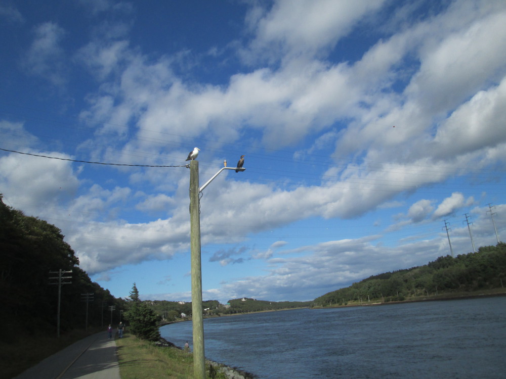
Cape
Cod Canal
|
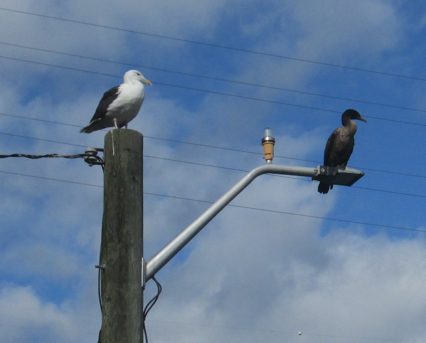
Cape
Cod Canal: sea gull and Cormorant sharing a pole. These 2 are
not sure that they can, just, share a pole. They look at each
other warily about once every minute
|
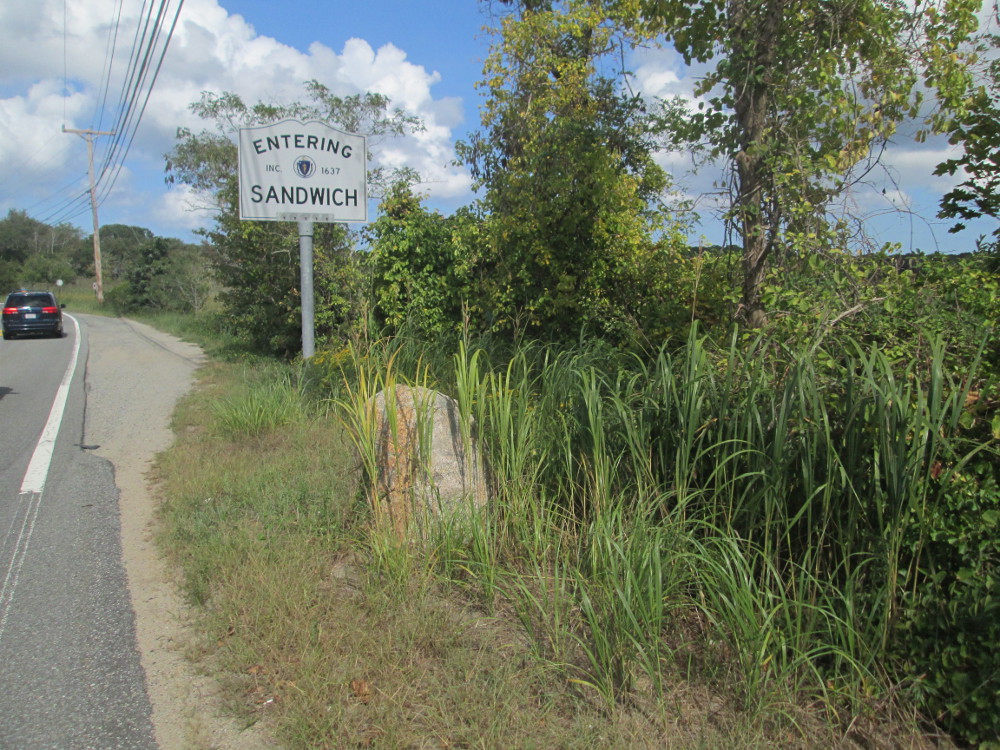
|
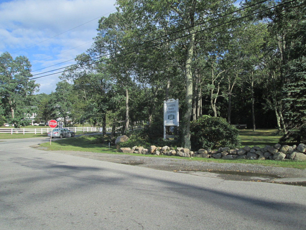
Entering
historic Sandwich, founded 1637. Oldest Cape Cod town.
|
Camping
in Sandwich at Shawme-Crowell State Forest
|
 Day
3: Woods Hole and on to Martha's Vineyard
Day
3: Woods Hole and on to Martha's Vineyard
The route today starts out going back
along length of canal on the opposite side to yesterday – the
south side of Cape Cod Canal this morning. Before riding back across
the cape, I go to the Canal Information Centre and take the trail to
the eastern end of canal. This part of the Trail is sand and gravel,
not paved like rest of bike paths olong both sides of canal. There
are others out enjoying this wonderful morning. I pass a man who is
fishing. After viewing the Atlantic Ocean and trying to see Europe, I
go back along the Canal, continuing around a boat basin and along the
paved bicycle path. There are even more people out this morning,
bicycling along, fishing, a few walking, a couple of joggers - people
of all ages, many look retired.
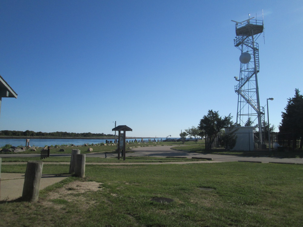
|
Scusset
Harbor at eastern end of Cape Cod Canal, looking to Cape Cod Bay
|
Entrance
to Cape Cod Canal at Scusset Harbor, US Army Corps of Engineers,
looking to Cape Cod Bay Ocean Sanctuary
|
|
|
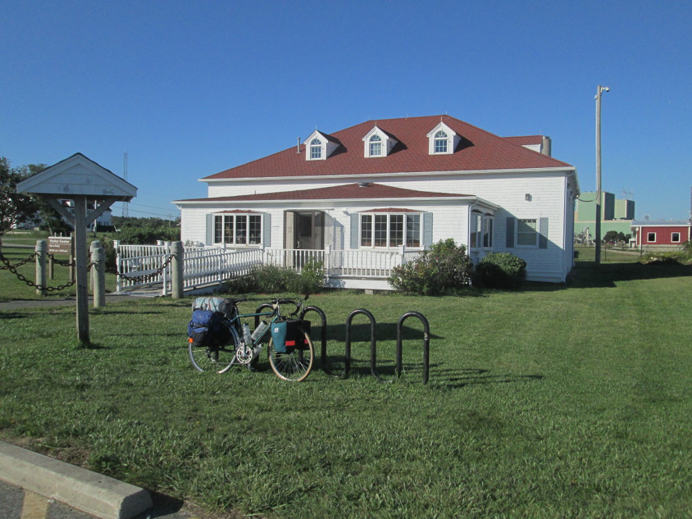
Visitor
Center
|
|
East
Boat Basin
|
|
|
Sagamore
Bridge that we rode across yesterday
|
Bourne
Bridge closer to railroad bridge at west end of Cape Cod Canal
|
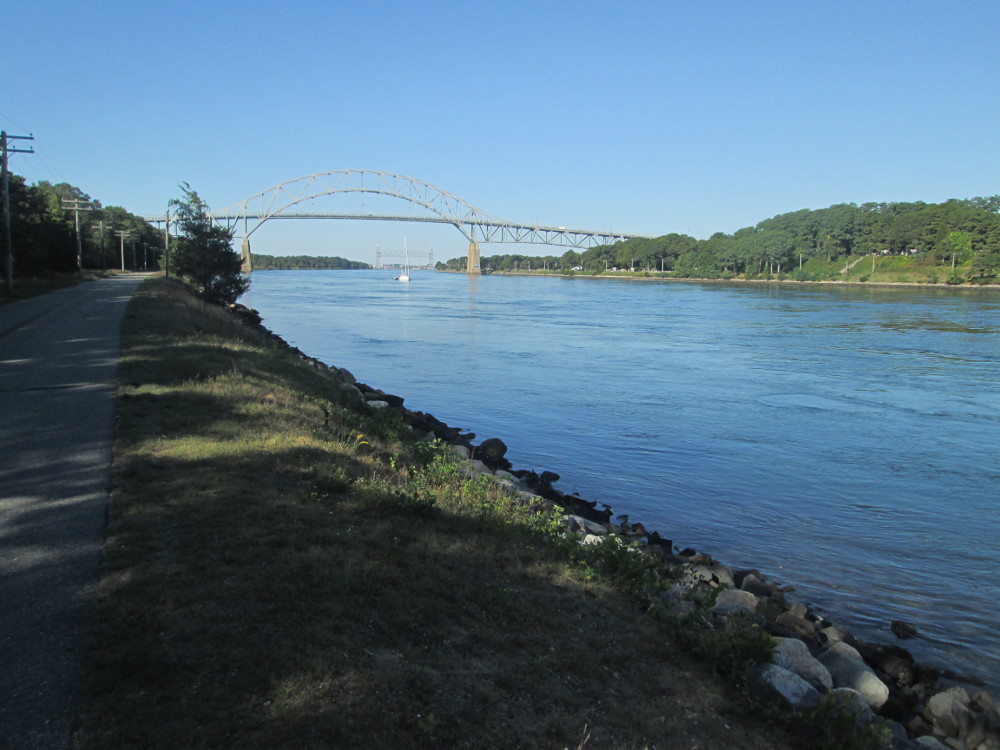
I'm hoping
again today to take a picture of a big ship in the Cape Cod Canal. My
question, last night, at dinner, at camp, of the trip leader, was
“When will there be a large ship in the Canal? A super-tanker,
perhaps? I want to take a picture of at least one ship.” None
of the assembled could help me. I'm disappointed. There's all this
enormous amount of tonnage that goes through this canal every year
according to the statistics and tourist information. Where are all
these big boats? I want to show the folks back home what it's all
about? In the end, I settle for this picture of a recreational sail
boat. This is the largest water craft that I see on this trip along
the Cape Cod Canal.
|
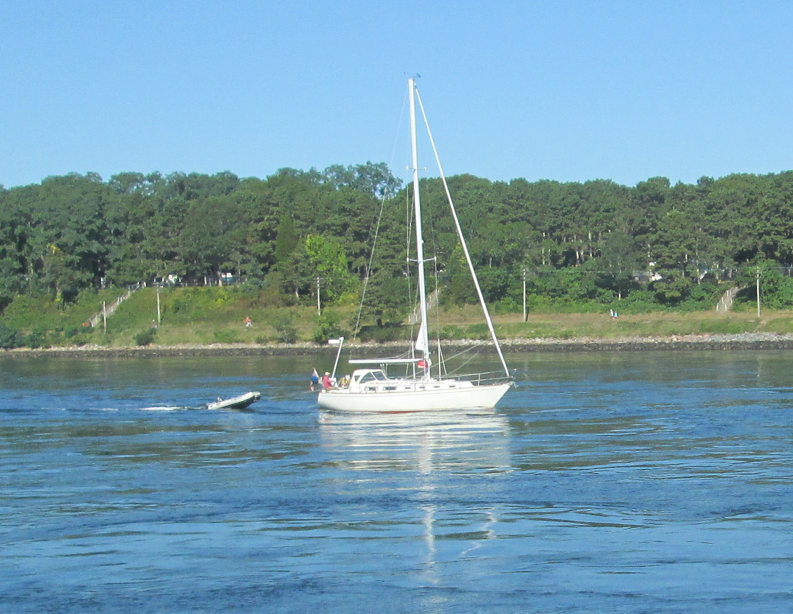
The
largest boat I saw in the Cape Cod Canal
|
Massachusetts
Maritime Academy across the Cape Cod Canal
|
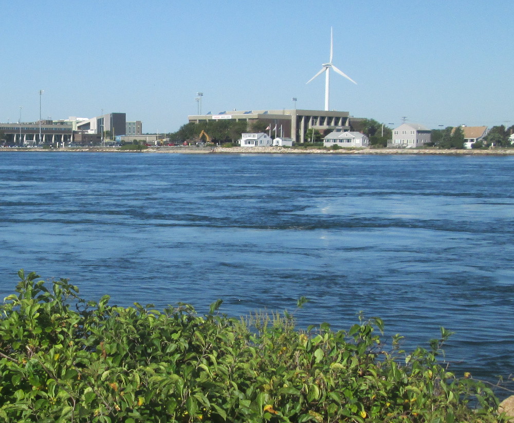
At the western end of Cape Cod Canal,
the route turns left, up the southern shore of Cape Cod to Woods Hole
where we stay this evening in the hostel.
Along this part, It take a few
pictures of beaches and natural areas, though, one could take just as
many, if not more pictures of mansions and deluxe cottages.
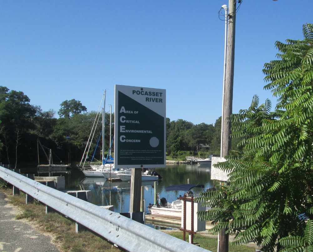
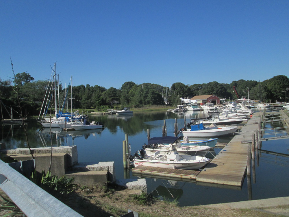
This Pocasset
River is right along the route. It is scenic. Wikipedia tells us:
“The Pocasset River is a small tidal river and estuary on the
eastern shore of Buzzards Bay, in Bourne, Massachusetts, United
States. It is located between the villages of Monument Beach and
Pocasset along the western coast of Cape Cod. The river flows
westward through a series of small ponds and wetlands, with a total
length of about 2 miles (3.2 km).”
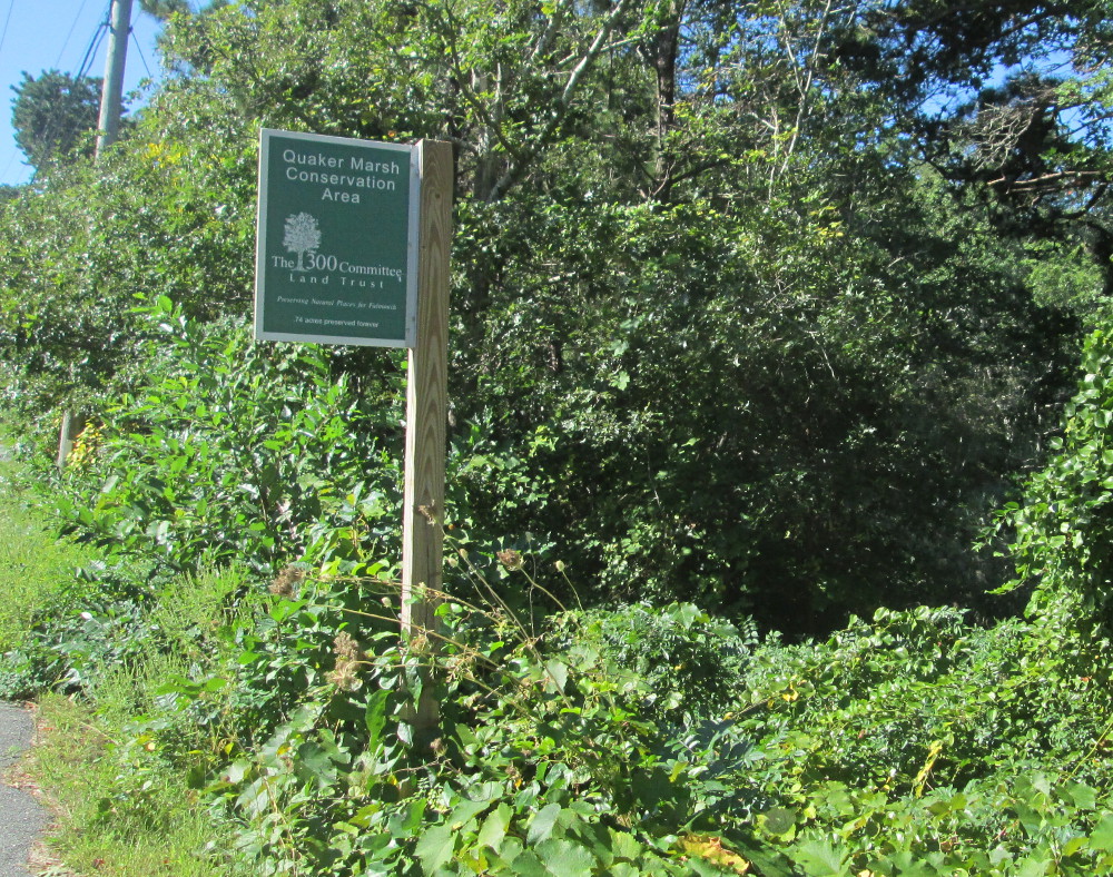
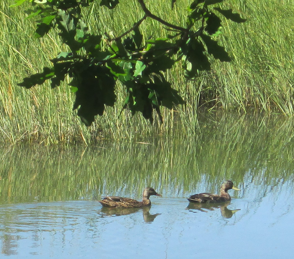
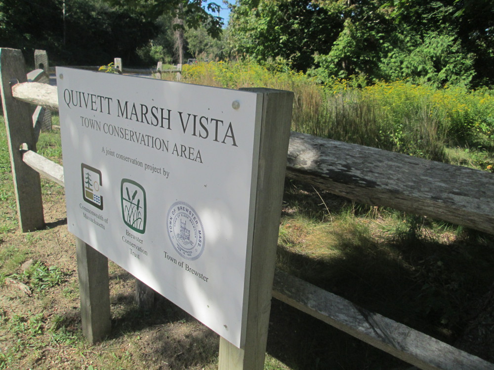
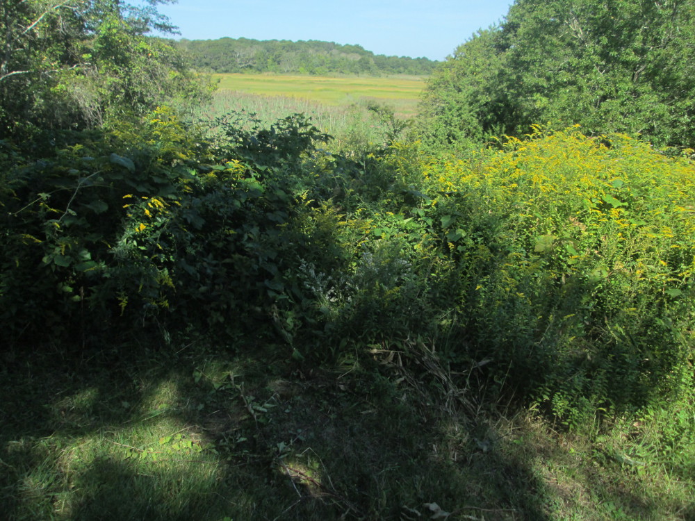
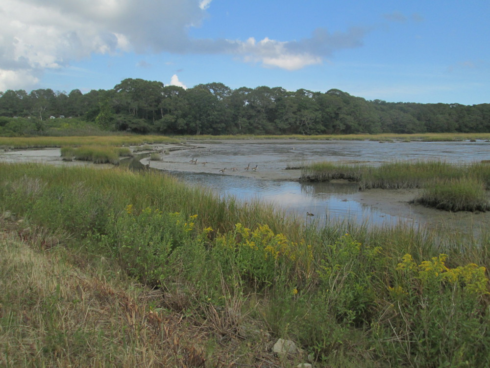
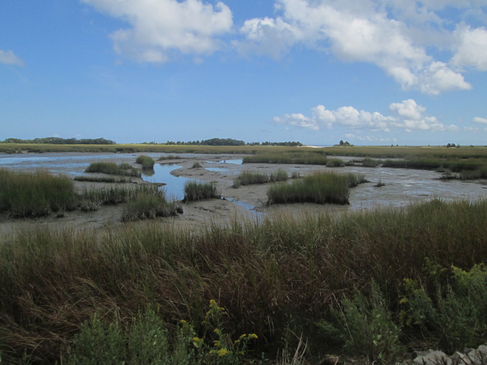
The Quaker
Marsh Conservation Area is an example of attempts by the locals
to preserve their natural environment. It is rather small. I see a
few ducks in the Conservation Area.
“A small
parcel with two cottages is an unusual acquisition for The 300
Committee, yet the .74-acre lot on Quaker Road in North Falmouth had
many special features. The property has a rich topography that
includes upland, coastal bank, floodplain and estuary. It is in a
strategic location: it borders Wild Harbor River on two sides and
links to a 4.8-acre narrow strip of marshland given to the town in
1988. On the opposite side of Quaker Road is Dam Pond, a
Massachusetts Natural Heritage Endangered Species Protection Core
Habitat, also owned by the town.
“The 300
Committee purchased the Quaker Road Marsh property in the spring of
2007 from Caleb and Martha Fraser after a developer's plan to build a
duplex there fell through. The land trust razed the dilapidated
cottages, which opened up a view of the marsh from Quaker Road. Stone
benches were added and an osprey platform was built and erected at
the edge of the marsh by T3C volunteers. At high tide, boaters can
launch canoes or kayaks and head out through the marsh to Buzzards
Bay.
|
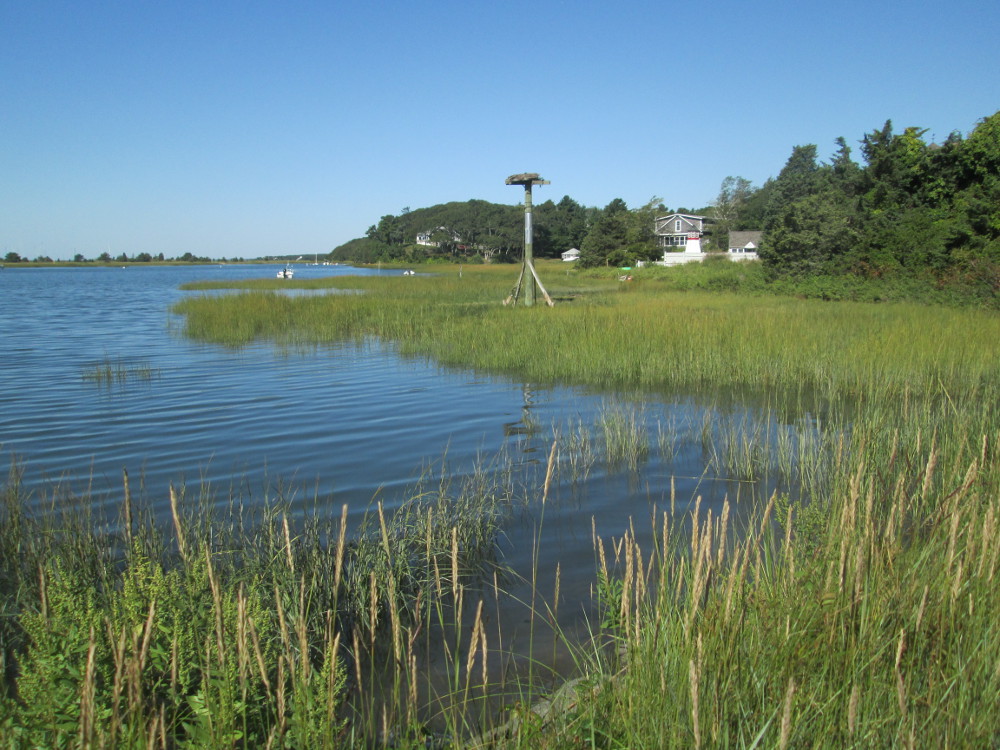
Cataumet
Marsh (viewed from Garnet Avenue, North Falmouth, MA) Looking
towards Amrita Island
|
|
Soon we're on the Shining
Sea Bikeway that was created in 1977 along the route of two
former railroads: the Cape Cod Central and Plymouth and Vineyard. The
view here is the best! At times this trail gets somewhat crowded with
other bikers. At one point I get off the trail and ride along the
road. The streetscape is more of the same as yesterday: large well
kept houses that are, perhaps, a bit more elegant, in general, today.
This is definitely an upscale trip.
|
Picture
from Shining
Sea Bikeway, Falmouth, MA: Great Sippewisset Marsh
|
Picture
from Shining Sea Bikeway, Falmouth, MA: Great Sippewisset Marsh
|
The traffic gets heavier as I get
closer to Woods Hole. The road winds and twists, too. I'm a bit lost,
again, but just follow my nose and the traffic jams. Everyone is so
polite and somewhat laid back at this time in the morning.
|
Shining
Sea Bikeway, Falmouth, MA
|
Woods
Hole ferry that I'll take later today
|
Woods
Hole
|
Rachel
Carson statue in park on Water Street
|
Park
on Water street
|
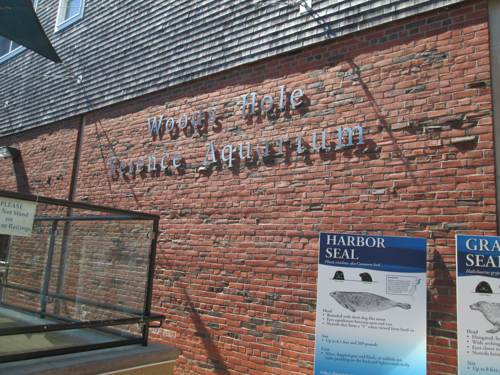
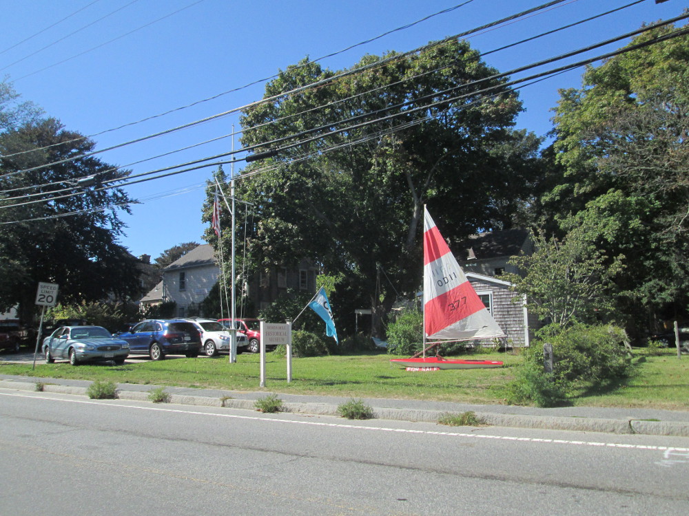
In Woods Hole I initially have lunch
in very peaceful park on Water Street. There are some employees from
local institution also sitting around in the park on their lunch
breaks. After snacking, I visit Woods Hole Science Aquarium, Woods
Hole Oceanographic institution, and Woods Hole Historical Museum. All
are free with donations accepted. I do donate a bit to the aquarium.
All are small. The aquarium is the oldest in the US. It is impressive
due to the large number of fish in tanks, the large full-sized models
of sea turtles, the dolphins out front that were injured and are now
rescued. I do see 1 or 2 dolphins come up for air. It's hard to tell
whether 'twas the same dolphin both times. These dolphins have prior
injuries that prevent releasing them into a natural environment. One
is blind. I see Tiger fish and learn that these are aggressive
predators that eat other fish and are very adaptive to new habitats.
Salmon are also featured and being studied as part of the efforts to
revive the fishery of these in the Atlantic Ocean near by. On the
second floor of the aquarium are all these tanks and apparatus. It's
more like a laboratory for the research being done at the Aquarium.
In the Woods Hole Historical Museum,
I read about Woods Hole's smelly past as guano factory town, and
other attempts to make money through fish processing and shipping
with railroads through town to the docks of the naturally deep port.
It has since fallen out of favor as dredging technology made other
ports more accessible. The railroad lines are now the bicycle trails
that we rode to day and will again tomorrow.
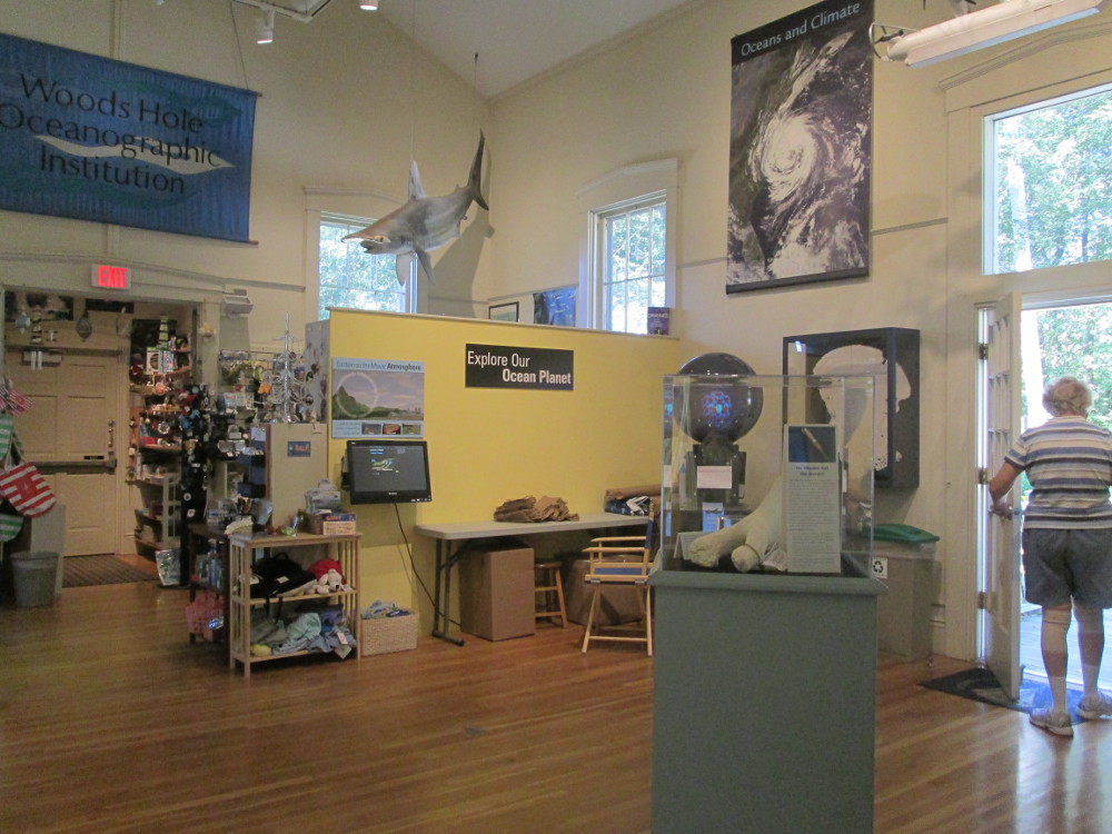
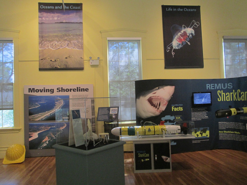
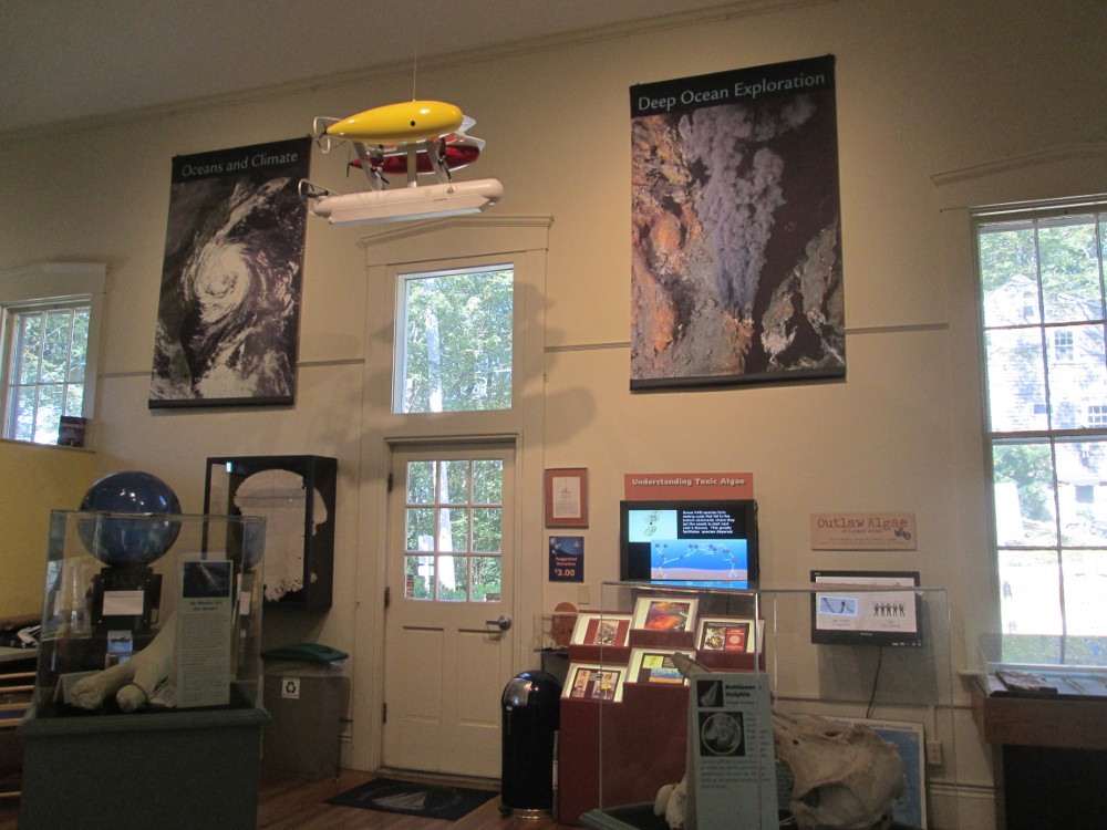
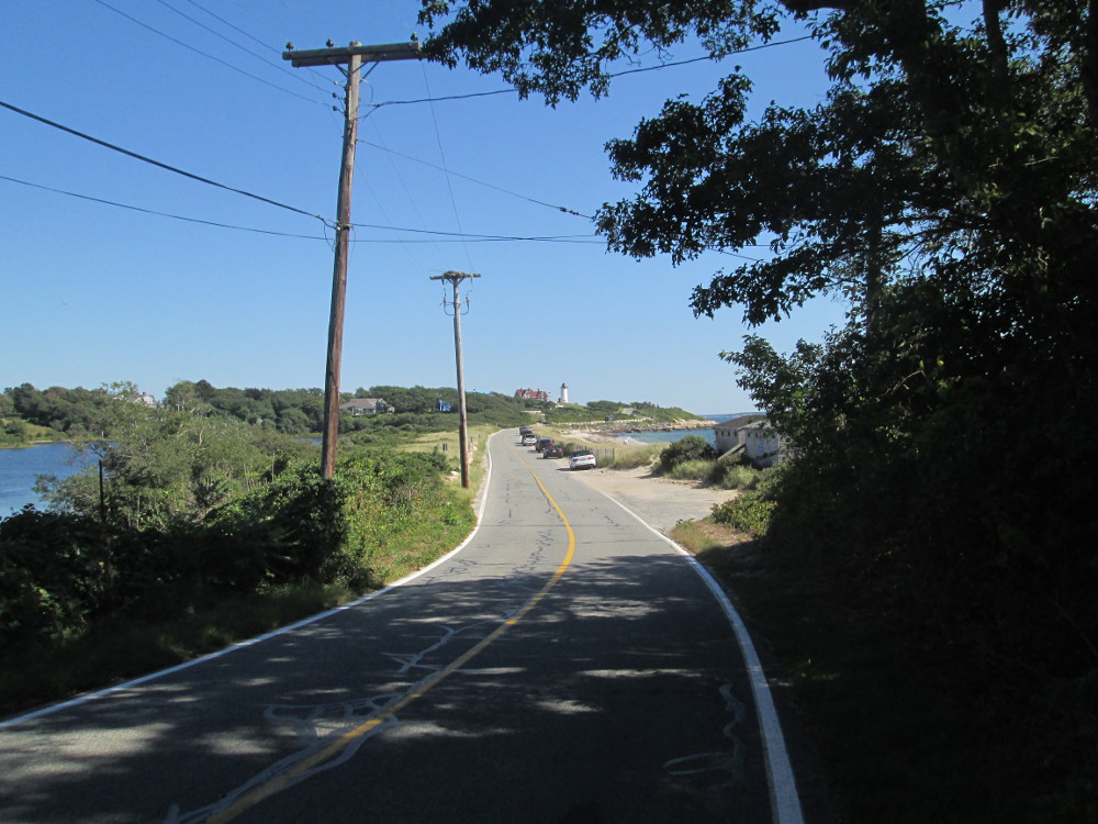
After visiting the Aquarium,
Oceanographic Institution, and Museum, I ride around town a bit. I
find the Nobska lighthouse from 1840s that is still used today though
now automated.
|
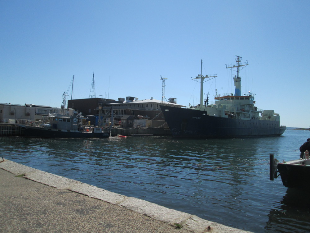
View
from park on Water Street of “Norr” ship
|
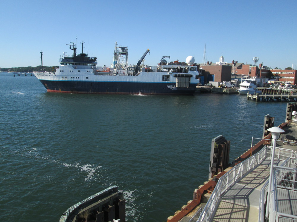
“Marcus
G Langseth” ship
|
|
Woods
Hole Science Aquarium
|
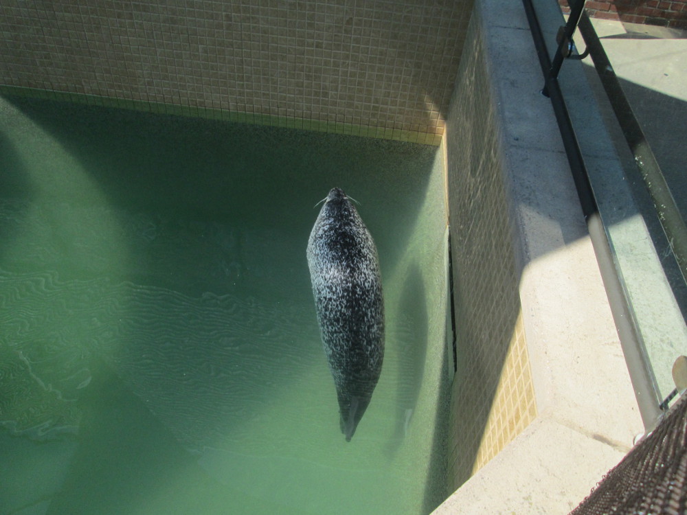
Woods
Hole Science Aquarium: dolphin
|
|

Woods
Hole Science Aquarium
|
Woods
Hole Science Aquarium
|
|
Woods
Hole Science Aquarium
|
Woods
Hole Science Aquarium
|
|
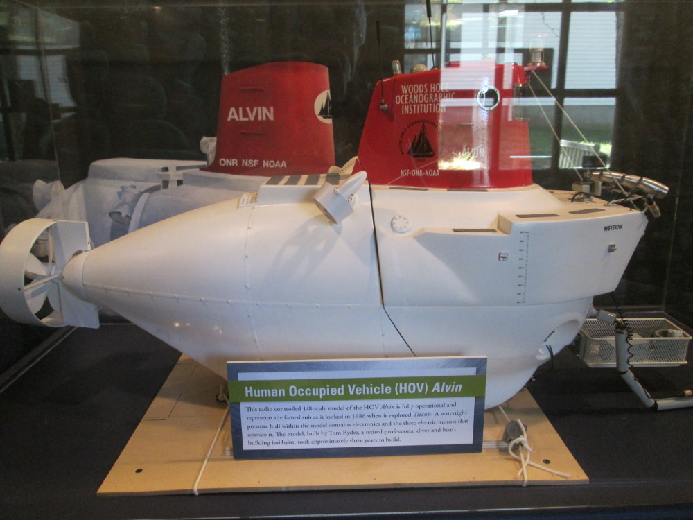
Woods
Hole Oceanographic institution
|
Woods
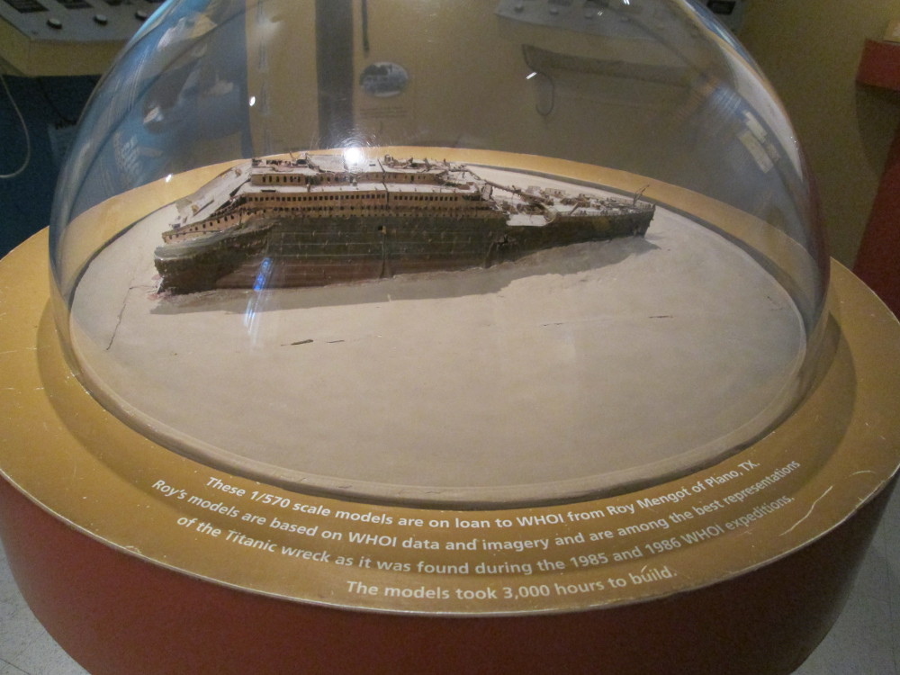
Hole Oceanographic institution -model of The Titanic on the ocean
floor?
|
|
Woods
Hole Oceanographic institution
|
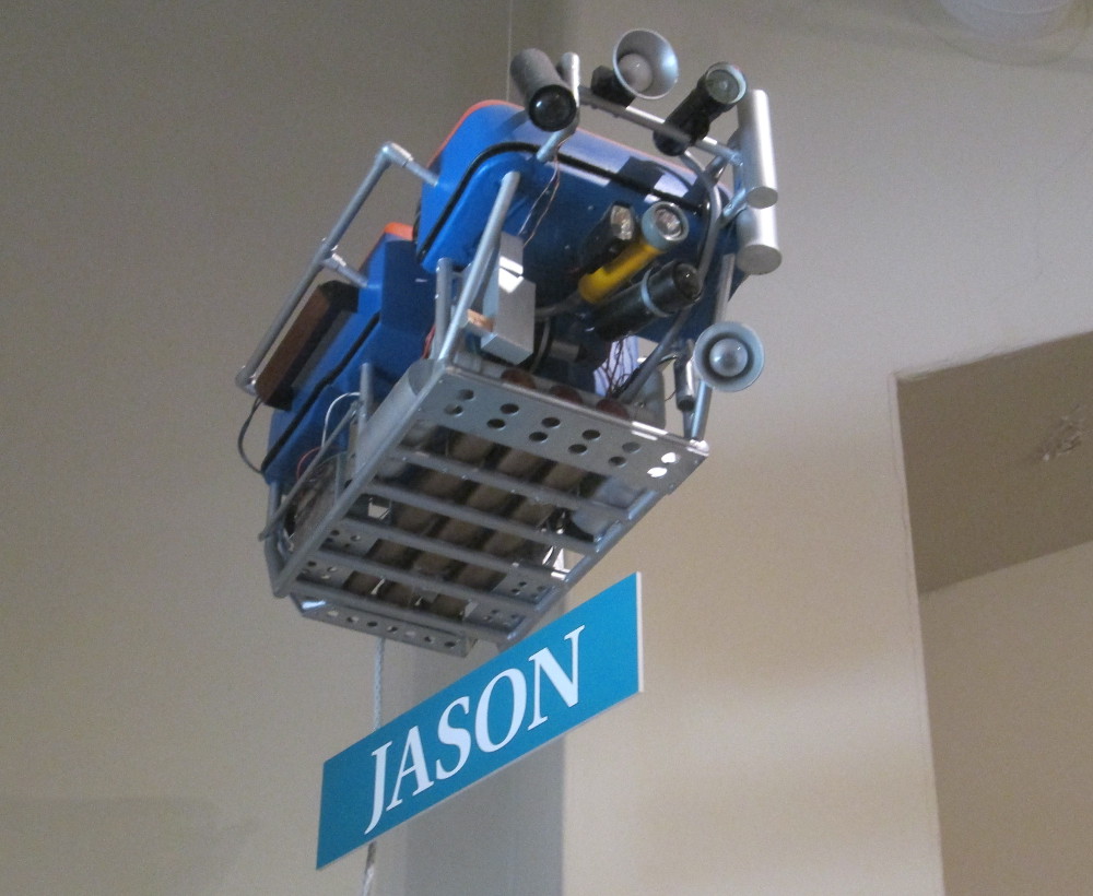
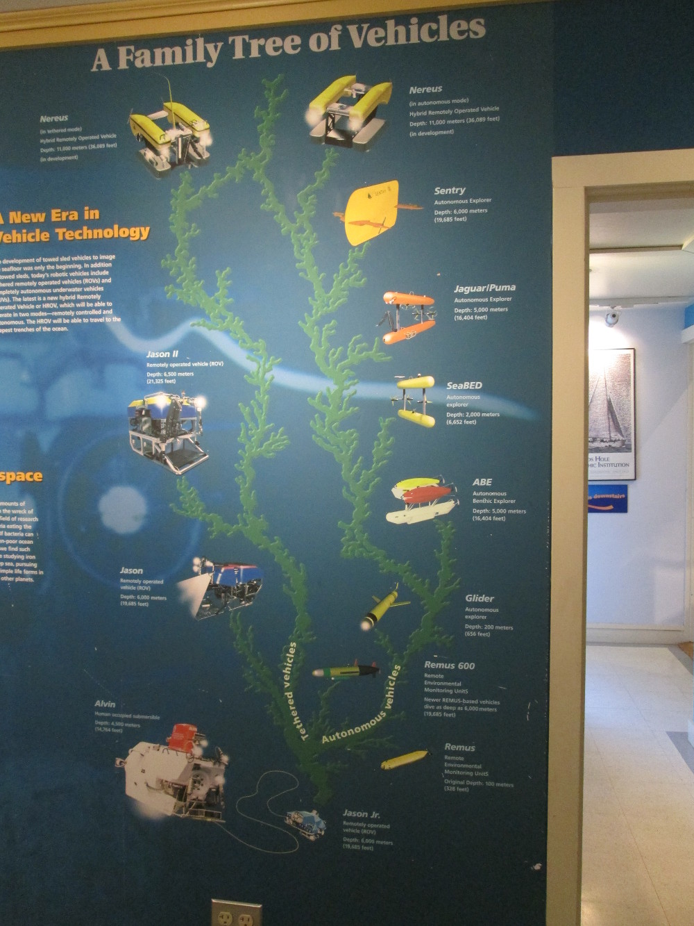
Woods
Hole Oceanographic institution: robot Jason
|
|
Woods
Hole Oceanographic institution
|
Woods
Hole Oceanographic institution
|
|
Woods
Hole Oceanographic institution
|
Woods
Hole Oceanographic institution
|
|
Woods
Hole Historical Museum
|
Woods
Hole Historical Museum – model of railroad track where
bicycle trail is today
|
|
View
from park on Water Street
|
|
|
|
Cemetery
on Church Street
|
|
Going
to Nobska Lighthouse on Church Street
|
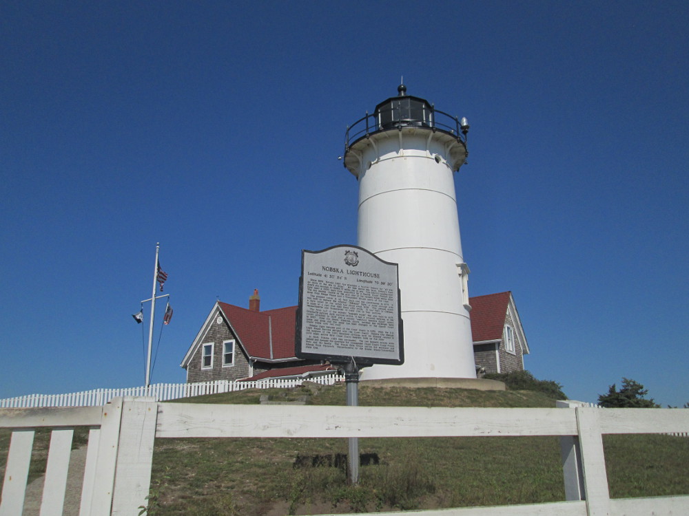
Nobska
Lighthouse
|
Finally,
it's time to take the 3:45 ferry to Martha's Vineyard. There are a
few other tourists on the boat. I talk to one other cyclist who lives
on Marthas Vineyard in summer and Florida in winter. I gather he's
retired.
|
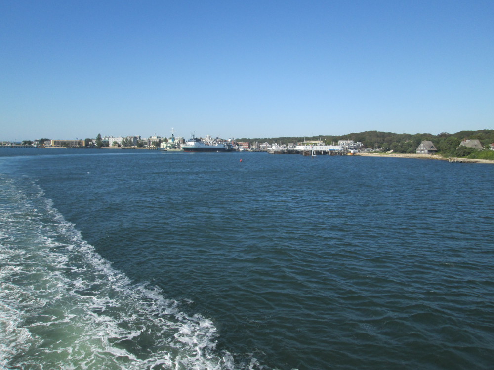
Leaving
Woods Hole by ferry
|
Entering
Vineyard Haven on Martha's Vineyard by ferry
|
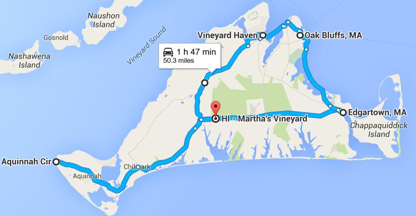
On Martha's Vineyard I do follow the
map, but go a bit further east than planned. There are many wide
bicycle trails beside the narrow roads on which a few drivers, at
least, drive like maniacs. One of the many bicycle trails stops at a
t-junction. A local cycling enthusiast soon speeds by. I put up my
hand to get him to stop. He does and gives good directions. I'm
headed to the hostel, at last?
|
Vineyard
Haven, Martha's Vineyard, where ferry lands
|
Bicycle
trail on Martha's Vineyard
|
There is lots of sand on the roads of
Martha's Vineyard. I'm told it was blown there by past storms and
hurricanes. I take pictures of the Scrub Oak trees that are unique to
this place Marthas Vineyard, but are everywhere.
Paul and Lisa are waiting on bicycle
path near the hostel when I arrive.
|
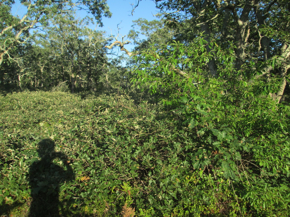
Scrub
oak beside bicycle path on Martha's Vineyard in Manuel
F. Correllus State Forest amidst oak-pine vegetation -
dominated by scrub oak, white, black, and post oaks, ericaceous
shrubs, and pitch pine
|
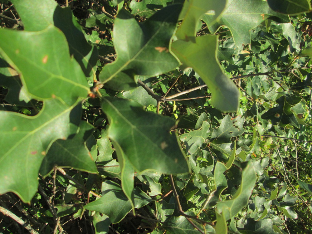
Scrub
oak beside bicycle path on Martha's Vineyard – looks like a
Post Oak
of White
Oak family?
|
Day
4: A Day of Rest on Martha's
Vineyard?
The tour stays at Marthas
Vinyard Hostel, the “Manter Memorial Hostel.” It is
“The First Purpose Built Hostel in the USA.” It is very
well kept and clean.
In this hostel, the dorms are
segregated by sex and the married couple has their own room –
men's dorms at one end of hostel; women's dorms at other end. There's
lots of room in the hostel so there are empty bunks in the men's dorm
that we use, at least, with 5 bunk beds for the 7 of us. There's lots
of room for all our junk. I learn how to put a fitted sheet on an
upper bunk bed.
Today is a supposed rest day on
Marthas Vineyard and we stay at the same hostel tonight. I plan on
taking the bus around the island. Bus tickets for all day are rather
inexpensive at $8. I take bus to Aquinnah, Edgartown, Oak Bluffs, and
Vineyard Haven.
Aquinnah
The Gay Head Cliffs are a National
Natural Landmark. The interpretive sign says: “The Cliffs rise
150 feet above sea level, and due to their outstanding contribution
to our natural heritage, were designated a National Natural Landmark
in 1965. The cliffs are held in trust for the Wampanoag Tribe of Gay
Head (Aquinnah), whose ancestors have lived on Noepe (Martha's
Vineyard) for over 10,000 years. The Cliffs are sacred to the
Wampanoag, and play a major role in the culture and traditions of the
tribe, as well as economic development. The businesses atop the
Cliffs are owned by tribal members.”
I stop at Gay Head Cliffs for an hour
as bus comes every hour. It looks like this outcrop will last awhile
yet though the lighthouse was just moved back 150 feet this year. The
experts predict the new location will be good for another 150 years.
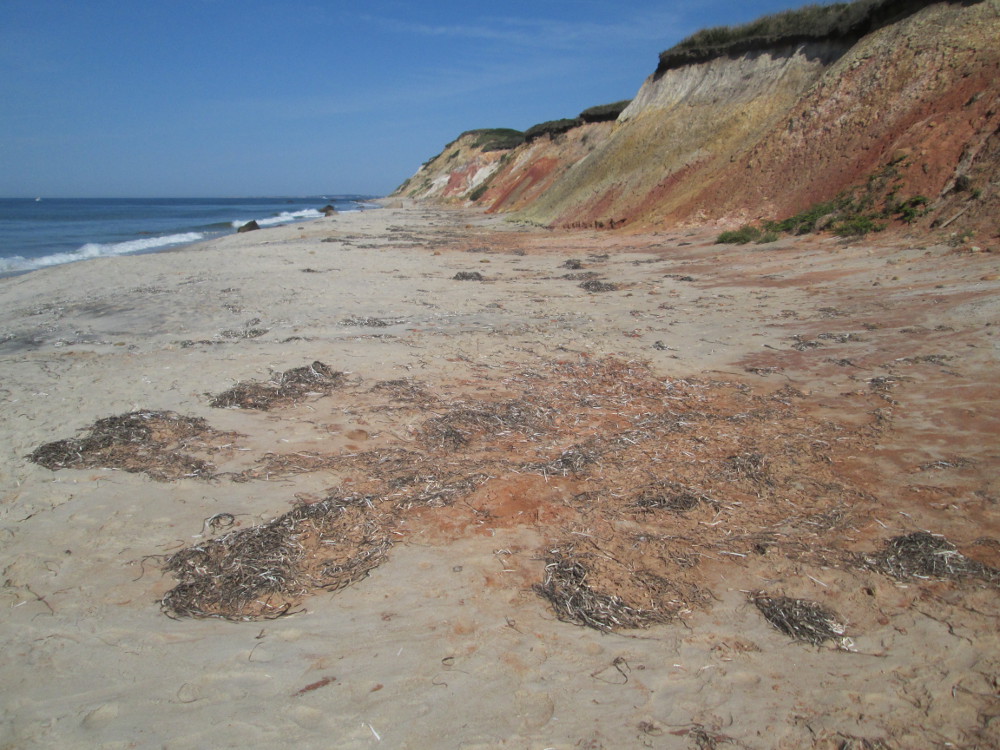
I first see the cliffs from above,
near lighthouse, and, then walk a length trail down to beach. Going
to the beach is worth it as I see some red cliffs from beach;
whereas, only cliffs see from above are plain off-white coloured
ones. Overall Gay Head Cliffs is a dramatic sight.
|
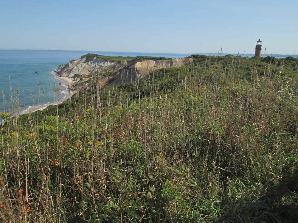
Gay
Head Lighthouse atop Gay Head Cliffs
|
Gay
Head Cliffs, a National Natural Landmark
|
Edgartown
The second place that I visit today
is Edgartown,
founded 1642, incorporated 1671. It is the largest town on Martha's
Vineyard. It's sheltered bay made it a port for the whaling industry
in 1800s. There are some old, ancient homes. Many were built by
whaling captains. I jog around town and look at these before and
after eating lunch at “House of Flowers” restaurant where
the food tastes real – the fresh fish melted in my mouth. I do
walk and jog down to the beach to visit the lighthouse and take
pictures. What a great day with such wonderful weather. Edgartown is
near Chappaquiddick Island, the location of Ted
Kennedy's infamous incident with a bridge and a drowning in 1969.
I must go there again, take the quick ferry to Chappaquiddick and
find the bridge.
|
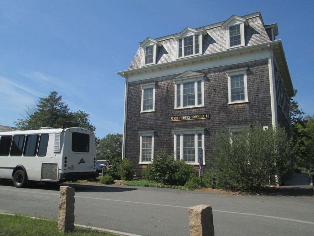
West
Tisbury Town Hall – a momentary stop on the way to Edgartown
where I transfer buses.
|
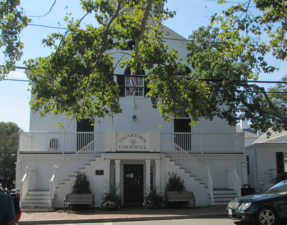
Edgartown
Town Hall
|
|
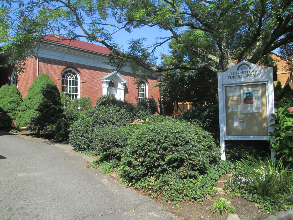
Edgartown
Public Library
|
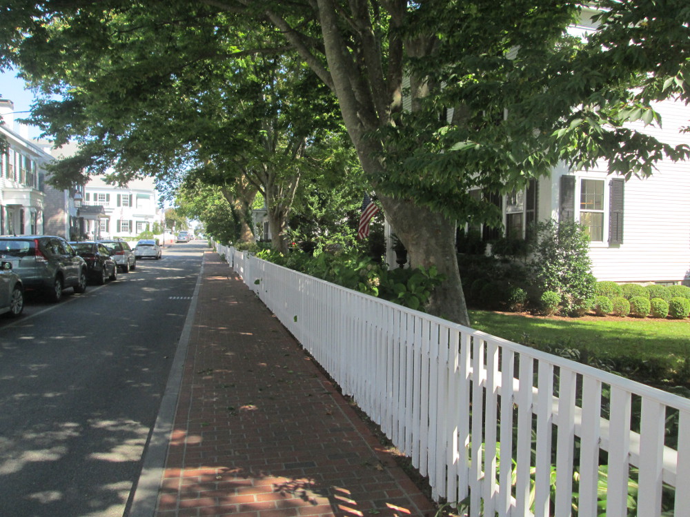
Edgartown
– lots of greenery amongst the houses
|
|
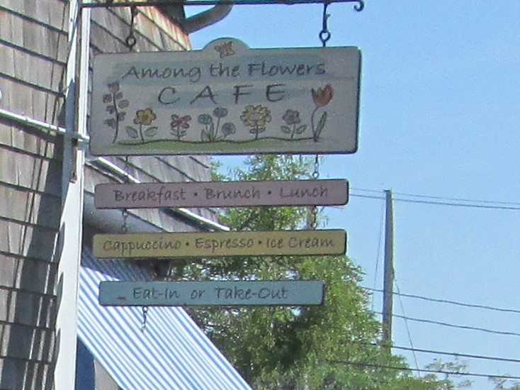
Among
the Flowers Cafe where I had
brunch
|
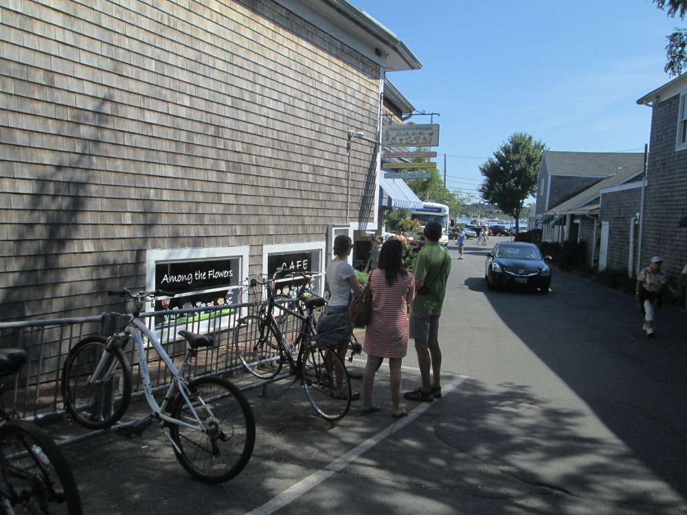
Among
the Flowers Cafe where I had
brunch
|
|
Edgartown
|
Edgartown
– lots of tourists and traffic in some parts
|
|
Edgartown
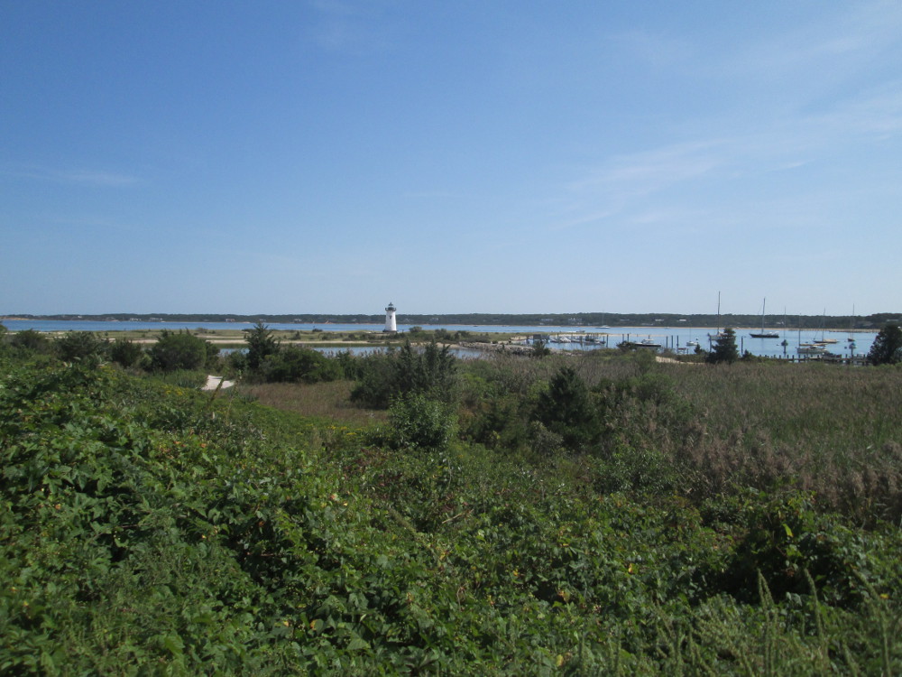
Harbor Lighthouse is at the entrance to Edgartown Harbor and
Katama Bay. The current cast iron tower was constructed in 1939 to
replace the earlier wooden lighthouse of 1828.
|
Edgartown:
Lighthouse Beach
|
Sengerontacket
Pond and Bend-in-the-Road Beach
On the way to Oak Bluffs, I have an
extra stop at Sengerontacket Pond and Bend-In-The-Road Beach. There's
more on this at the web site of Friends of Sengerontacket Pond
http://www.sengekontacket.org/FOS/Welcome.html.
Interpretive sign by the beach says:
A barrier beach
is a narrow, low lying strip of land generally consisting of coastal
beaches and coastal dunes extending parallel to the coast, and
separated from the mainland by a narrow body of water or a marsh
system. It may be joined to the mainland at one or both ends.
Barrier beaches
play an important role in storm damage prevention and flood control.
Coastal dunes provide a buffer from storm waves and elevated sea
levels for landward properties and landward coastal wetlands. Erosion
of dunes by waves or wind supplies snat to the adjacent beach which
helps maintain or increase the volume of the beach as it loses sand
during storms to nearshore areas of the ocean. Without the supply of
sand from dunes, beaches will gradually be depleted of sediment and
disappear. In addition, barrier beaches move landward when sediment
is carried across to the backside of barrier beaches by storm
overwash surges. This forms deposits known as "washover fans"
which may develop into coastal dunes. Tidal inlets widen barrier
beaches by means of the deposition of sand aprons or flood tidal
deltas on the landward side of hte barrier beach.
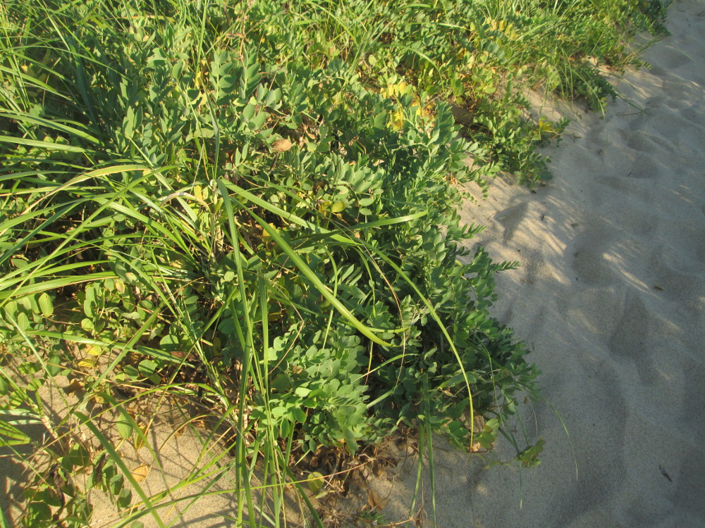
Vegetative cover
such as beach grass contributes to the growth and stability of
coastal dunes by providing conditions favorable to sand deposition.
Coastal dunes are also valuable for wildlife habitat, as a number of
birds such as terns and gulls nest at the base or sides of dunes or
in the interdunal areas.
Barrier beaches
also play an important role in protection of marine fisheries. Tidal
flats, which are situated within barrier beaches are valuable
habitats which provide an abundant food source for the young stages
of commercial fish and crustaceans.
|
Bend-in-the-Road
Beach – the ocean side of the Barrier Beach
|
Bend-in-the-Road
Beach
|
|
Kayakers
going into Sengerontacket Pond
|
Sengerontacket
Pond
|
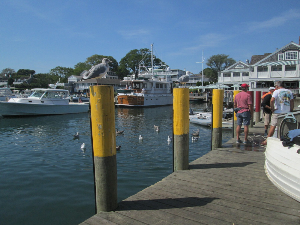
Oak
Bluffs
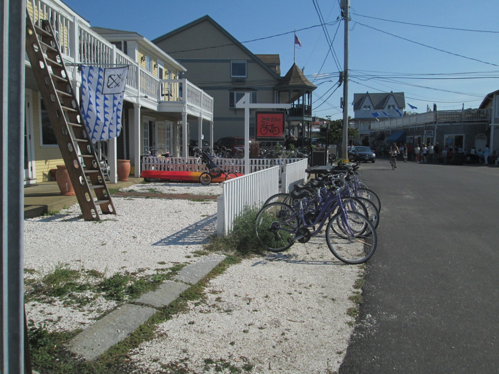
I get off the bus again near Oak
Bluffs, walk along the beach and through Oak Bluffs. There are a
few tourists in the “historic district” today, and many
small firms renting bicycles. I bet many are rented in the summer
since there is a good bicycle path beside the road that I just
travelled. There are lots of huge older homes along water front. Many
were originally built by whaling captains in the 1800s. Original
inhabitants were the Wampanoag
people who lived here for 10,000 years. Europeans arrived in this
area in 1642. It was re-incorporated as Oak Bluffs in 1907 and named
after a stand of Oaks on a bluff overlooking Nantucket Sound. Oak
Bluffs is one of the first planned communities towards tourism in
which summer religious camps originally played a major role.
|
Oak
Bluffs ferry terminal
|
Civil
War memorial: “In honor of Grand Army of the Republic”
|
|
Oak
Bluffs: Seaview Avenue
|
Oak
Bluffs looking towards harbour entrance
|
|
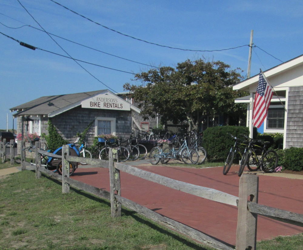
Anderson's
Bike Rentals, across the street from Oak Bluffs Harbor
|
Martha's
Vineyard Electric Bicycle Company
|
|
Oak
Bluffs: Lake Avenue
|
Oak
Bluffs Harbor as seen from Lake Avenue
|
Vineyard
Haven
My next stop is Vineyard
Haven where the ferry landed yesterday. I only stay 20 minutes
until next bus, but do walk along a few streets in “Historic
District” and see same kinds of stores.
|
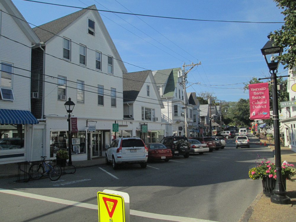
Vineyard
Haven Harbor Cultural District looking towards Simon Gallery
across the street
|
Vineyard
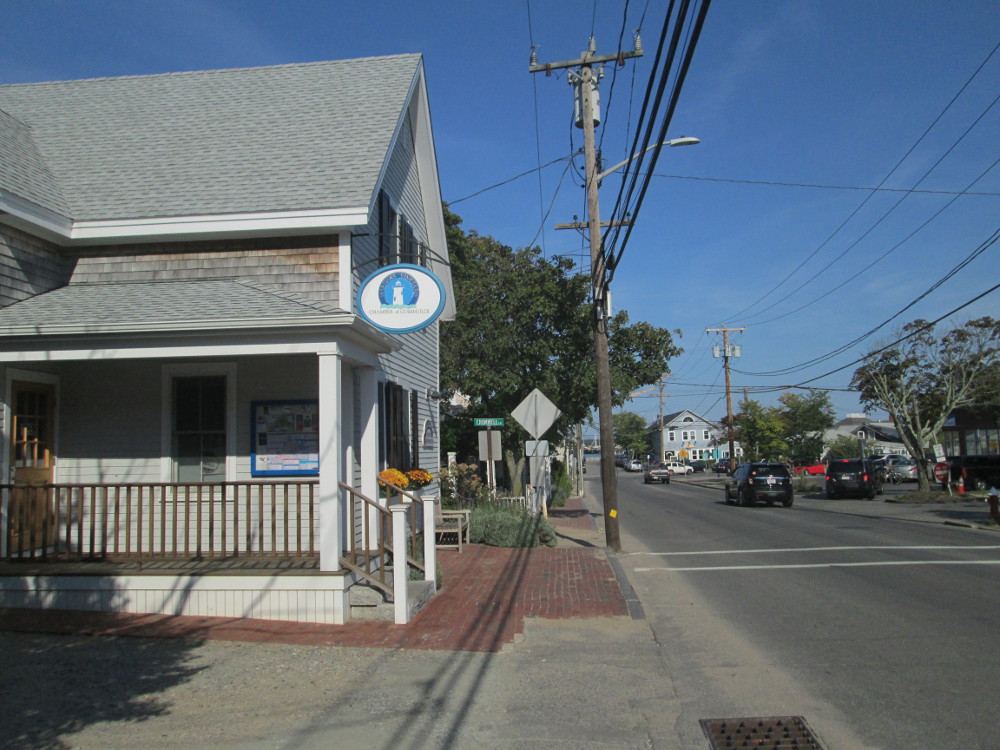
Haven: Martha's Vineyard Chamber of Commerce
|
|
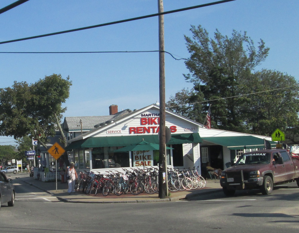
Vineyard
Haven: Martha's Bike Rentals having an end of summer used bike
sale?
|
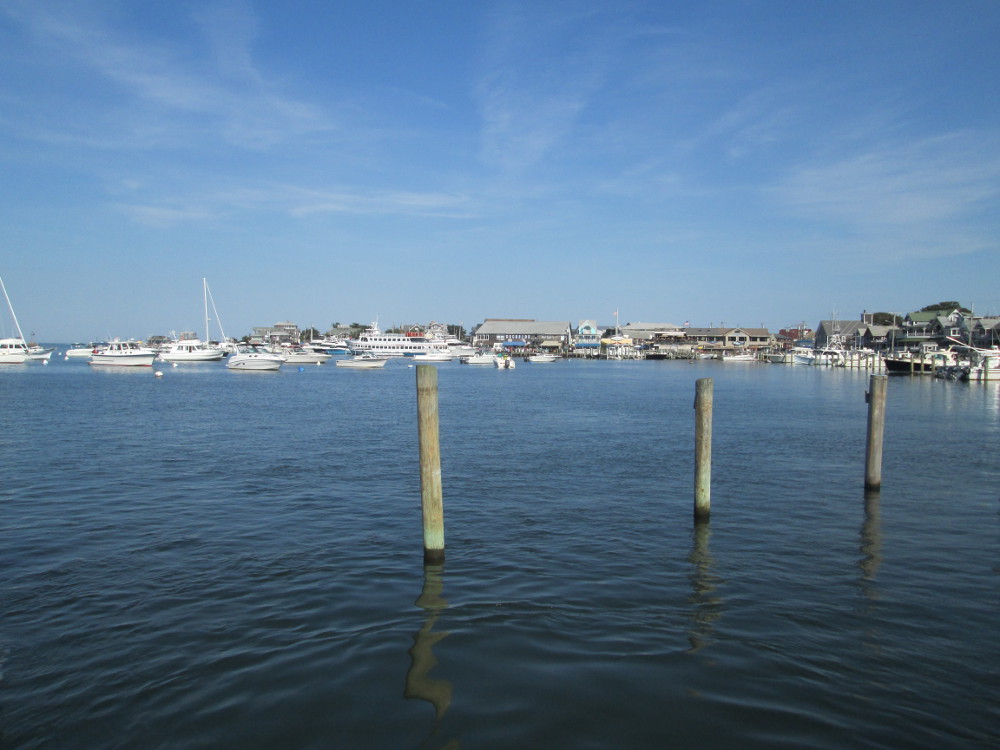
Vineyard
Haven Harbor
|
 Day
5 - Falmouth & Cape Cod Rail Trail
Day
5 - Falmouth & Cape Cod Rail Trail
The trip continues today with a 7 am
departure from the Hostel to get the 8:15 am ferry, for sure, as it's
my turn today to cook dinner with Lisa. We eat breakfast at a diner
near ferry, The
Black Dog Bakery. Today's route is back through Woods Hole, then
the rail trail to Falmouth
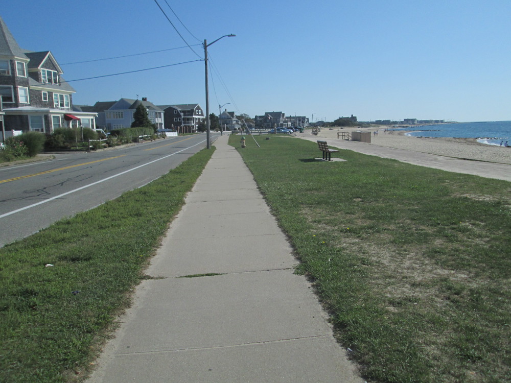
where we follow the beach as much as possible. Falmouth was settled
in 1660 and named after Falmouth, Cornwall, England. The British, in
turn, bombarded it in war of 1812, but the expected landing never
occurred. A few years later, Falmouth was noted for wool production,
based on local sheep farming with a population, at one point, of 50
sheep per square mile.
|
CCRT
Cape Cod Rail Trail in Falmouth
|

Falmouth
|
|
Falmouth:
looking back at beach on Grand Avenue
|
Falmouth:
looking forward on Grand Avenue
|
|
Grand
Avenue, Falmouth
|
Grand
Avenue, Falmouth
|
|
Menauhant
Road, Falmouth
|
Menauhant
Road
|
|
Green
Pond Marina beside Menauhant Road
|
Menauhant
Road
|
|
Menauhant
Road
|
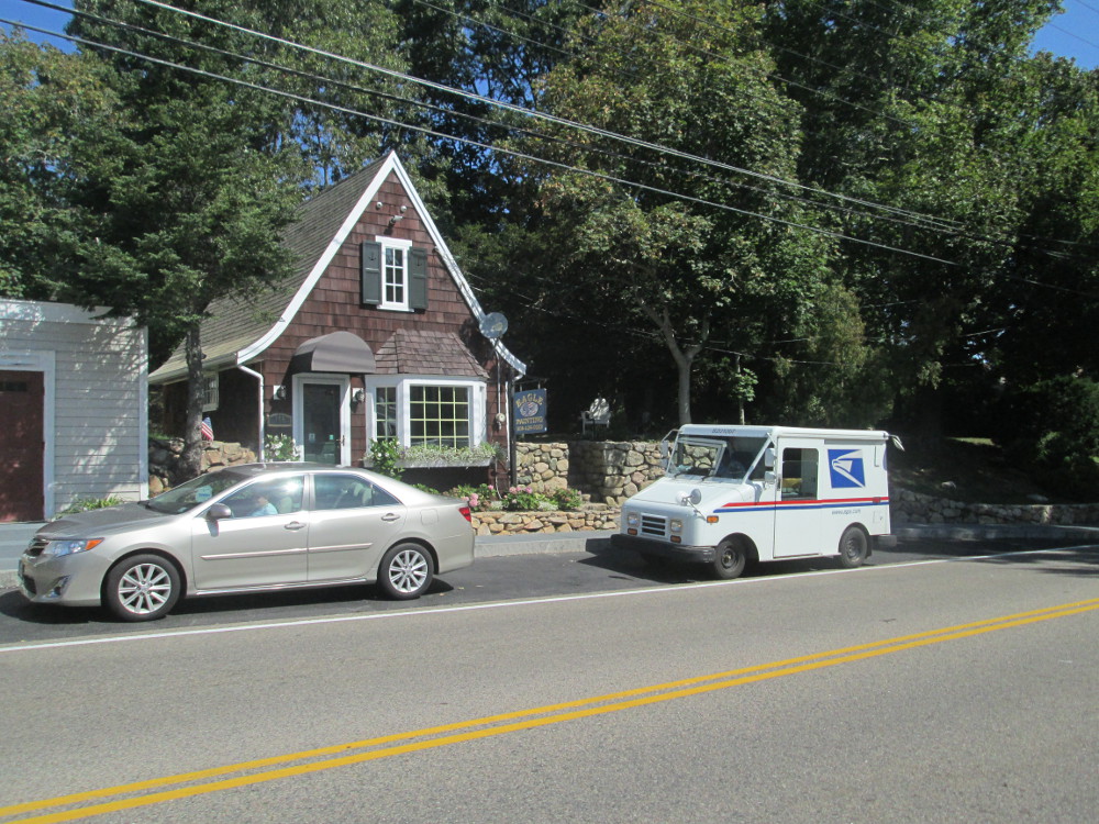
Eagle
Painting, Osterville
|
|
Four
Seas Homemade Ice Cream, S Main St, Centerville, MA
|
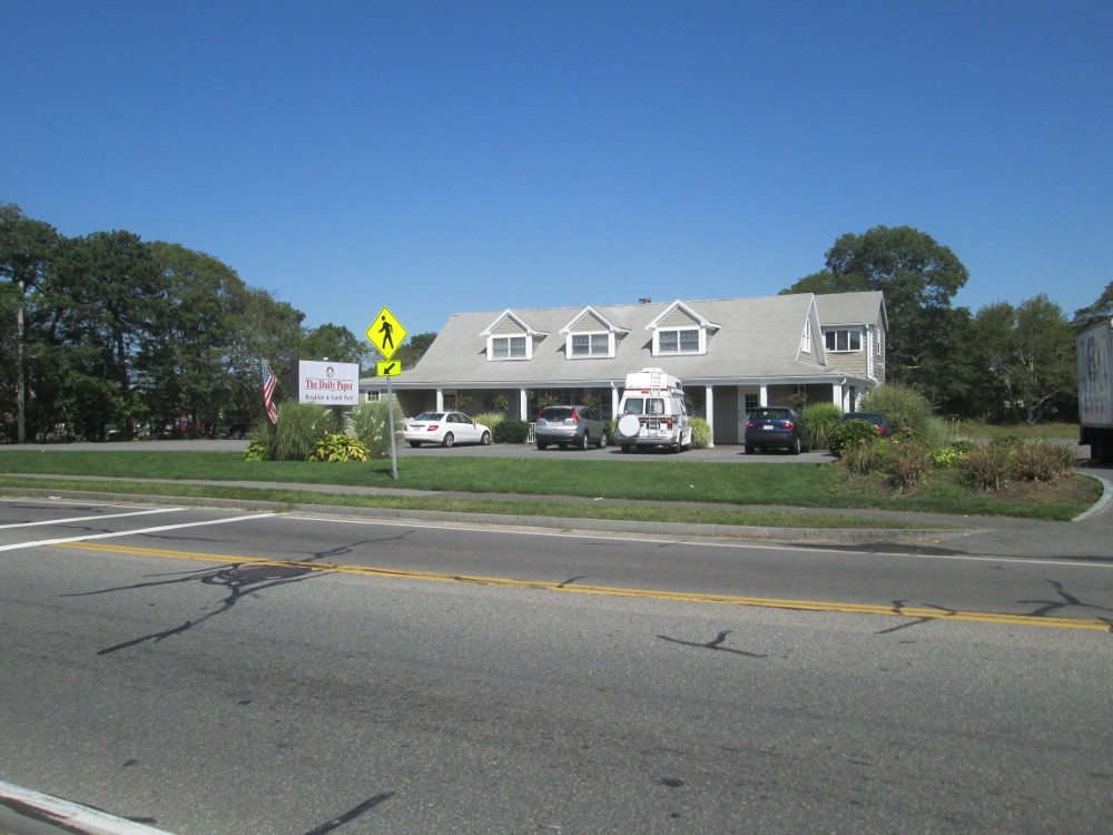
The
Daily Paper restaurant, Hyannis, MA
|
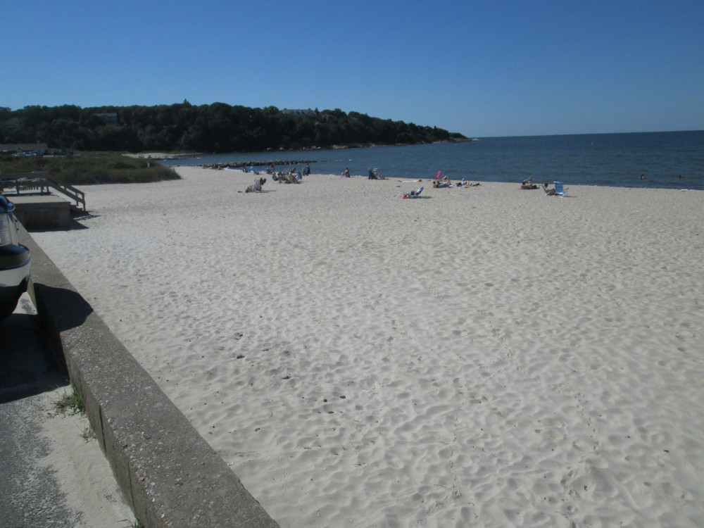
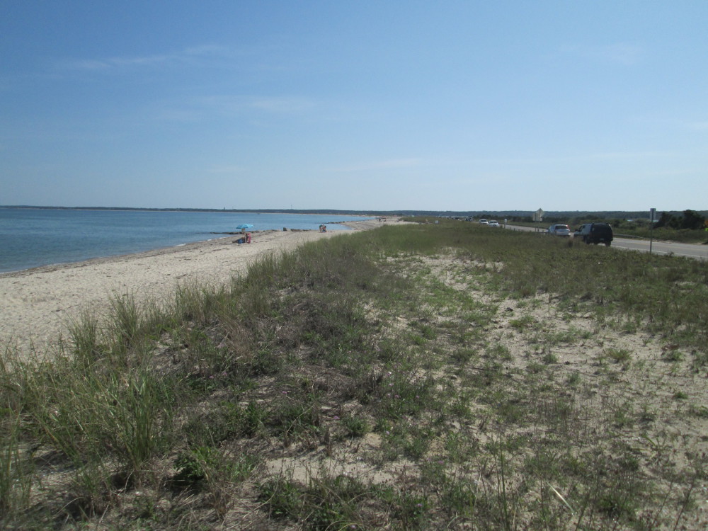
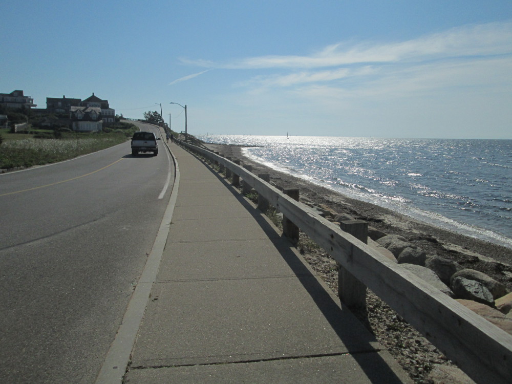
I have lunch on a beach in Hyannis
looking towards a large natural harbor that makes Hyannis the largest
recreational boating and second largest commercial fishing port on
Cape Cod. I'd just ridden through Hyannis
Port, the location of the Kennedy
Compound[5],
that I need to return to as it is projected to be open to the public
a times under a non-profit
educational institution. Over the years, Hyannis has become more
urban and somewhat of a hub of many commercial and transportation
activities in Cape Cod.
Eventually, after Hyannis, the route
is along the CCRT
Cape Cod Rail Trail. It is well used. Many other cyclists ride
by. Most are recreational riders; there are also a few racers and
triathletes that zoom by. We talk to one at a small store where we're
having a pop. He's from Boston, but loves training in Cape Code on
the CCRT and is an enthusiastic competitor in local triathlons. The
CCRT sure beats training on the local, busy roads. The CCRT is along
the route of the former Old
Colony Railroad of the mid 1800s that became part of the New
York, New Haven & Hartford Railroad in 1893 and later merged
into the Penn
Central before going bankrupt.
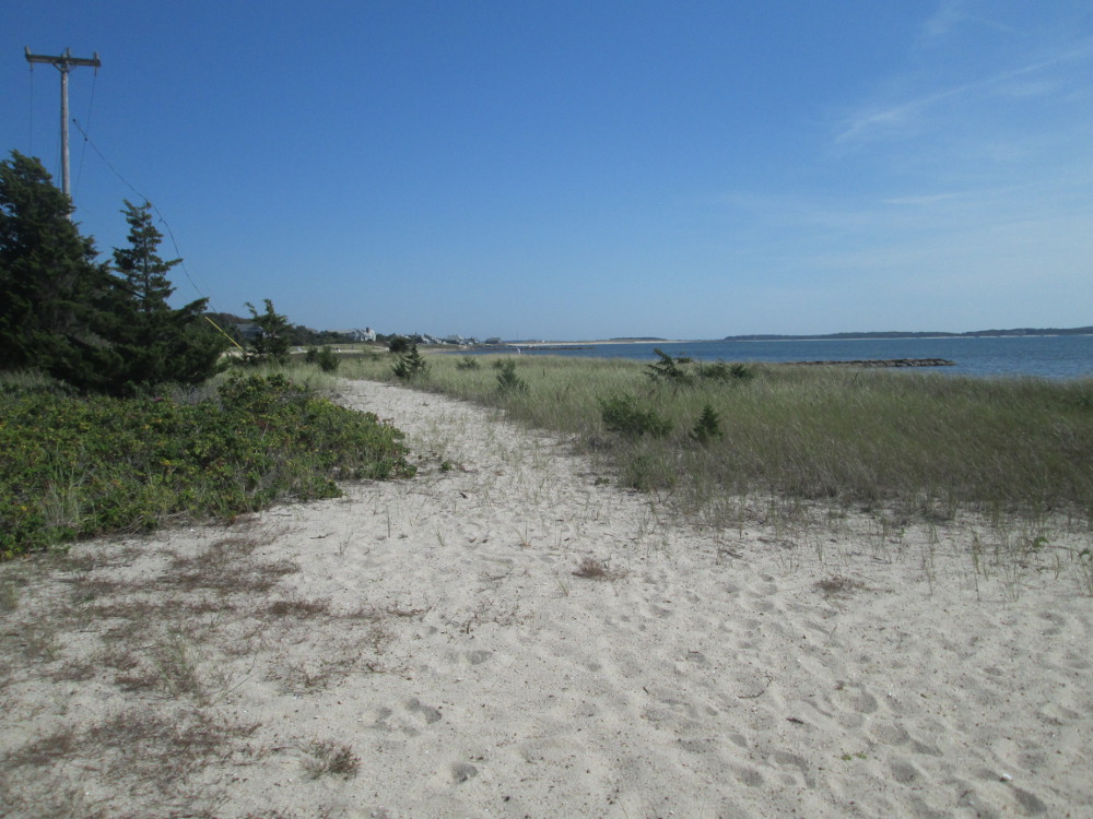
|
Beach
view from the Kennedy Lighthouse, Hyannis
Port, MA – Hyannis & Washington Avenues –
Hyannis Port
|
Ocean
Avenue, Hyannis, MA; a nice place to stop for lunch, eh?
|
|
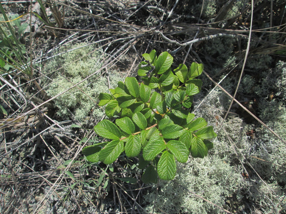
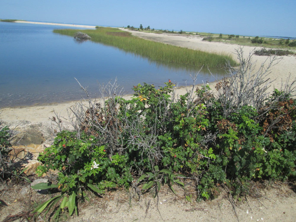
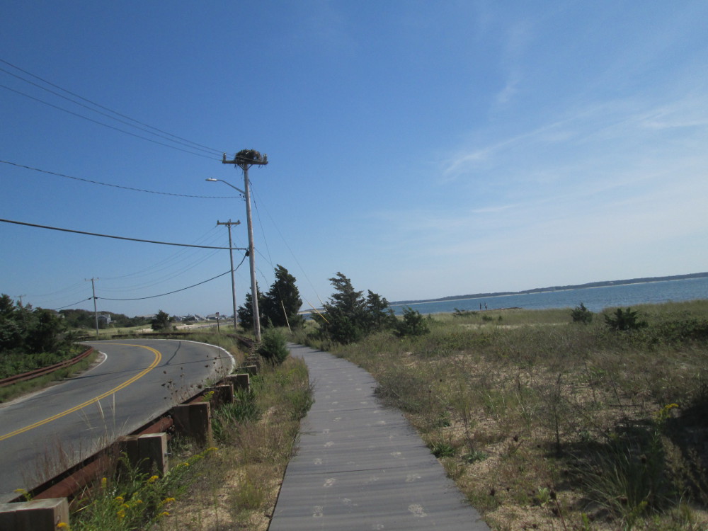
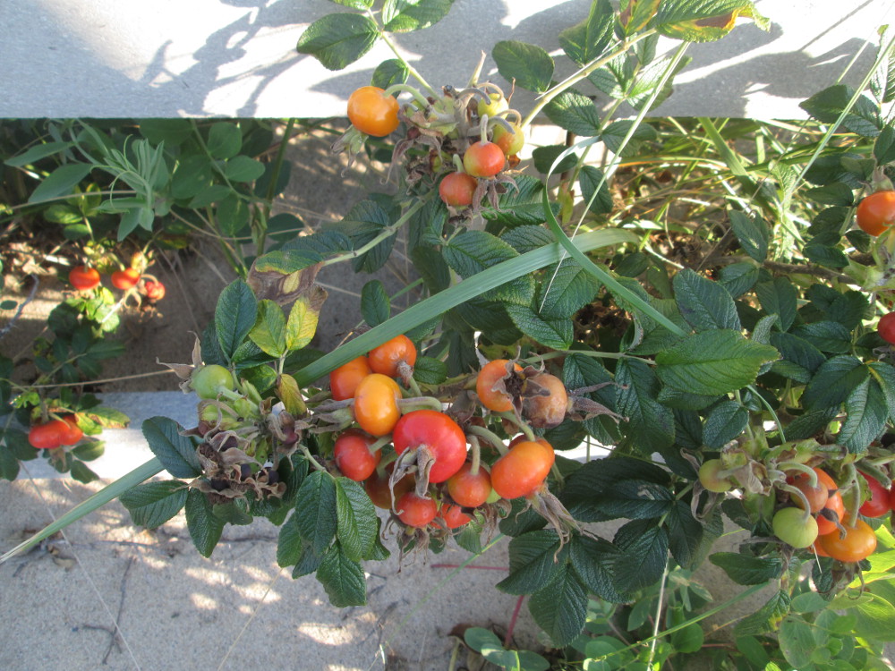
Beach
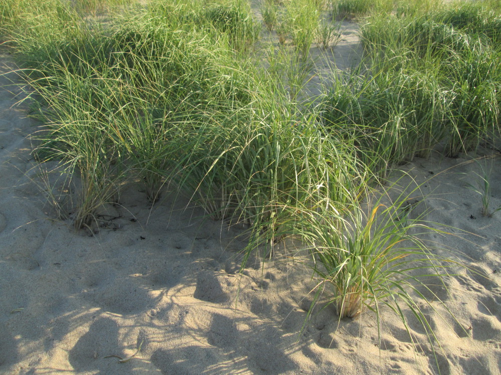
Plants – a Ruga Rose (non-native species) in middle of Cape
Cod Lichens ?
|
Ocean
Avenue Beach, Hyannis, MA
|
|
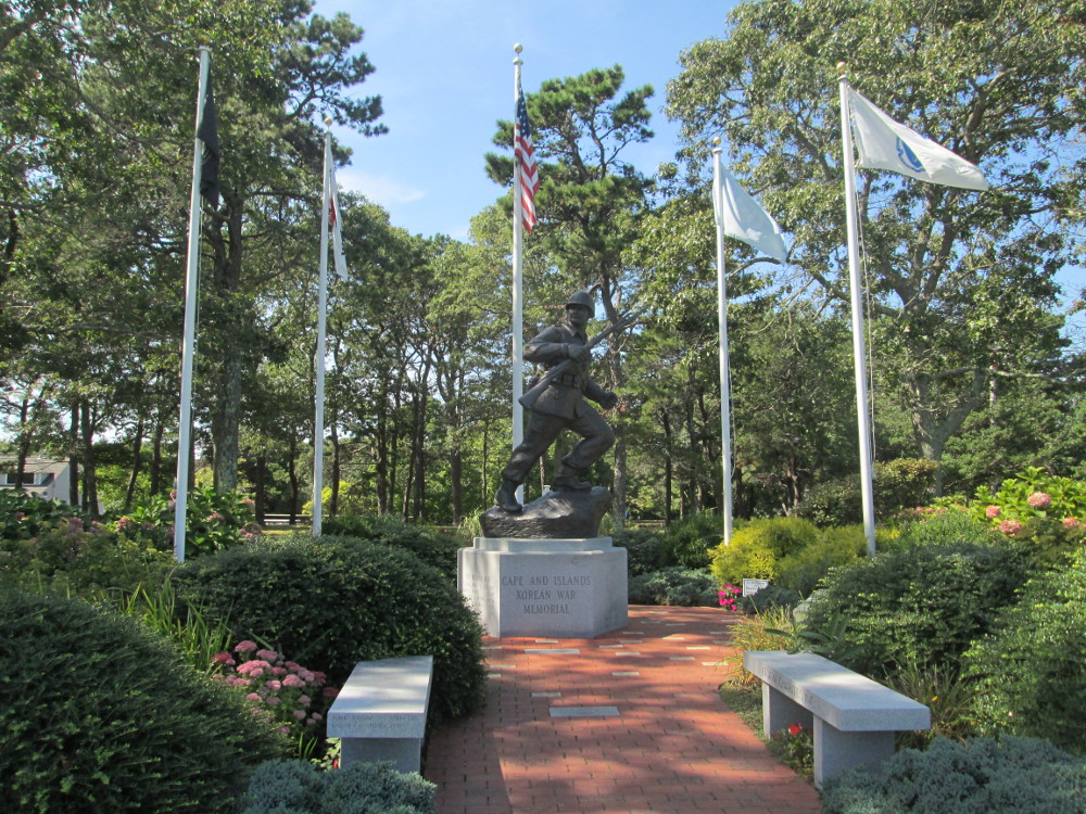
Korean
War Memorial, Veterans Memorial Park, Ocean Street, Hyannis, MA
|
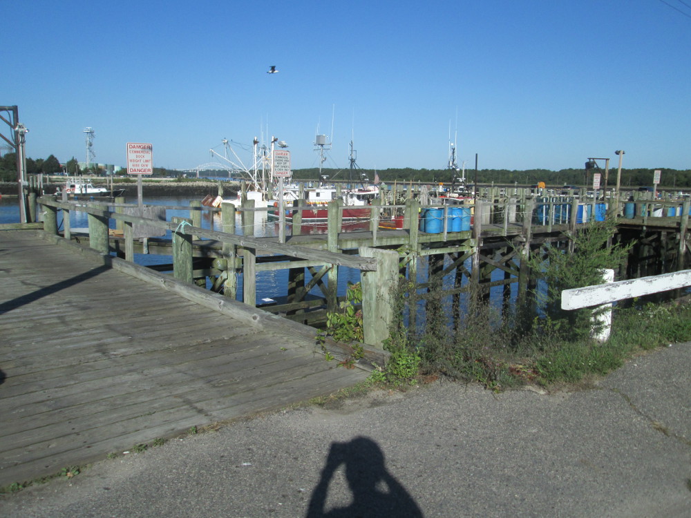
Looking
toward Hyannis Inner Harbor, Beside Cape Cod Maritime Museum
|
|
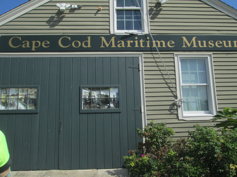
www.capecodmaritimemuseum.org
Cape Cod Maritime Museum, South St, Hyannis, Cape Cod
|
In
front of Cape Cod Maritime Museum
|
|
William
& Barbara Hacker Wildlife Sanctuary, along Cape Cod Rail
Trail near Harwich, MA
|
A
kettle
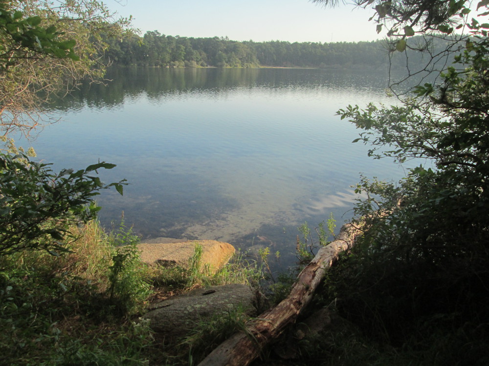
pond Flax Pond near our campsite in Nickerson
State Park.
|
This evening we stay at Nickerson
State Park that is right on CCRT. Our campsite is near a kettle
pond, Flax Pond. Ponds like this one were formed as glaciers
retreated from the Cape over 10,000 years ago. The kettle ponds in
Nickerson State Park are completely dependent on groundwater and
precipitation rather than having streams running into them. The water
level in the ponds fluctuates from season to season and year to year.
Lisa and I
go to Shaw's in nearby Orleans
and buy some food ... then cook up a mushroom flavored chicken
special on rice – a different flavor from corned beef, eh? It's
yummy.
Orleans was incorporated in 1797 and
is named after the French Duke of Orleans in honour of the the French
support of the rebels in the American Revolution. The French
connection continued in 1898 when the French
Cable Station in Orleans became the terminus of a trans-Atlantic
telegraph cable for the French Cable Company. It is now the French
Cable Station Museum that is only be a mile away from our route
tomorrow – a potential site to visit on my next trip?
 Day
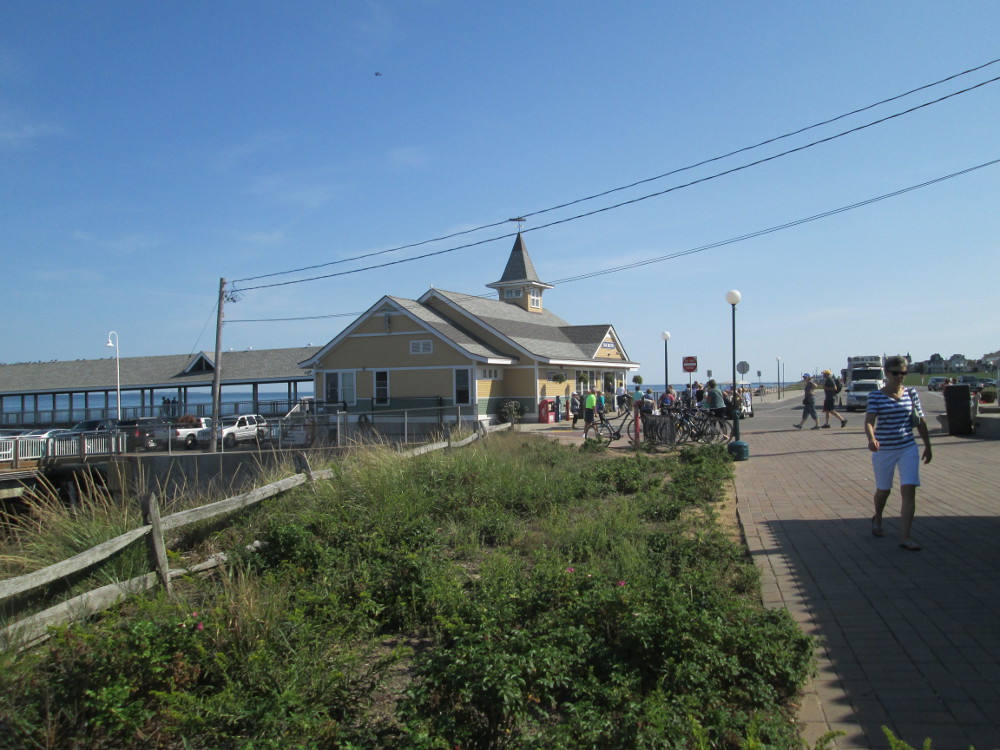
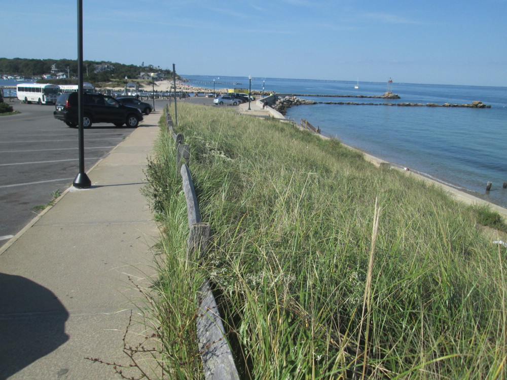
6 – See the tip of the Cape at Provincetown
Day
6 – See the tip of the Cape at Provincetown
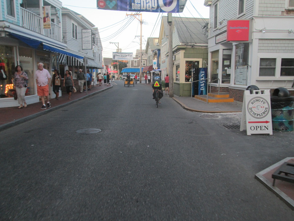
Today the tour gets to Provincetown
at the tip of Cape Cod where the Pilgrims landed in 1620.
Provincetown's traditional
industries were fishing and whaling; tourism is dominant today.
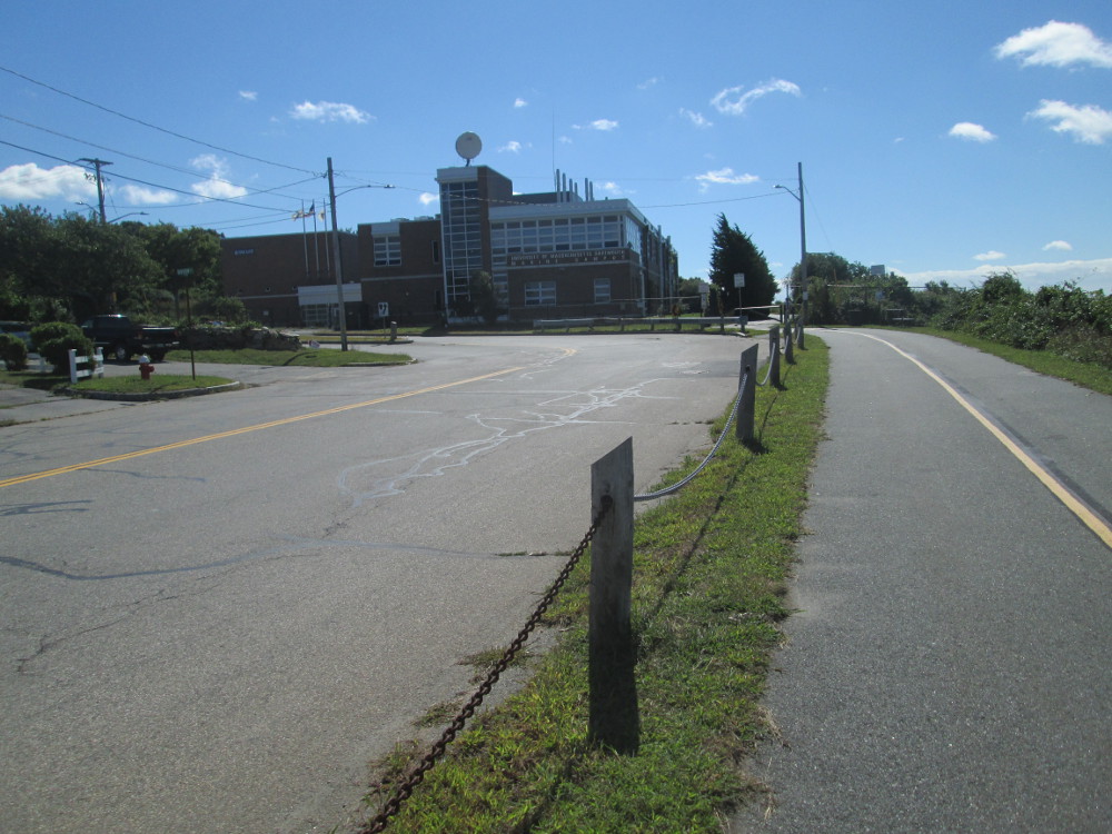
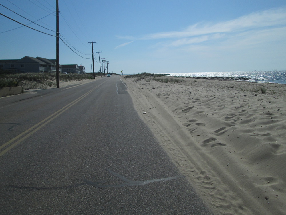
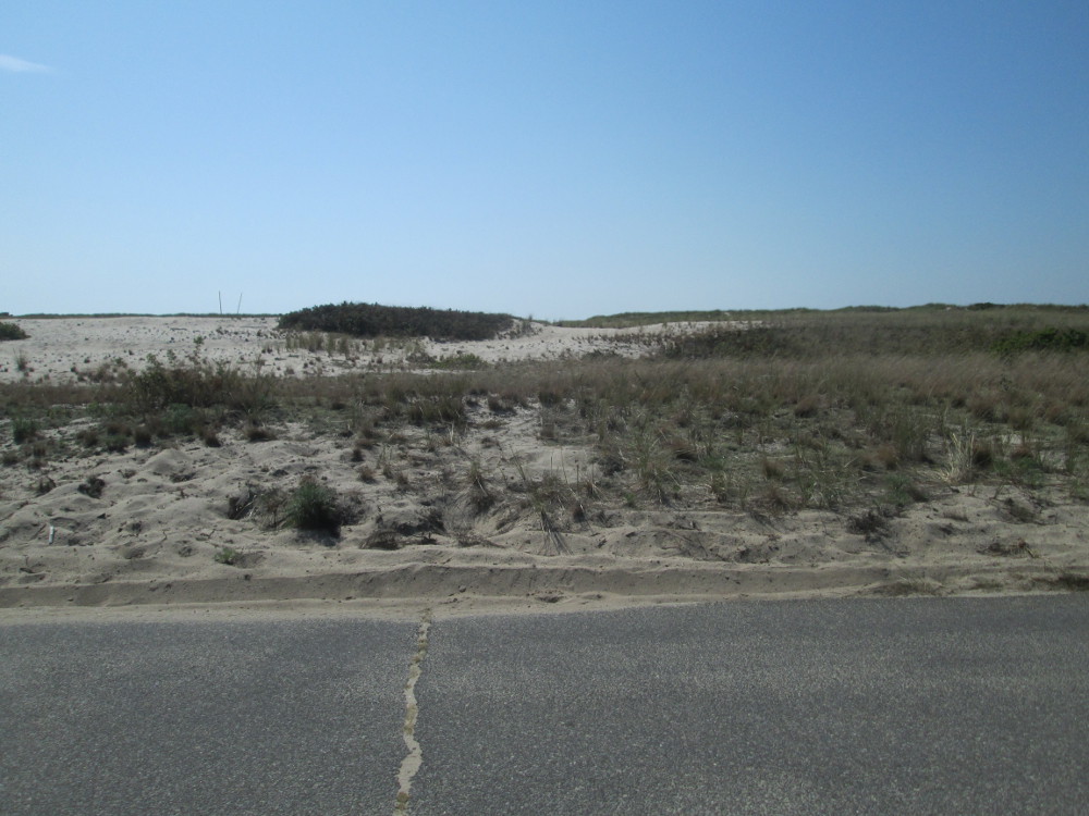
First off, the route continues on
Cape Cod Rail Trail for 10 miles. After this, there are side roads
and bits of highway 6A. The last 6 miles is on highway 6A along a
long beach approaching Provincetown. Fortunately, there is good
weather along this trip so I take a number of short side trips to see
the area and enjoy the natural beauty of the Cape
Cod National Seashore.
|
|
“A
whale born welcome” Edward
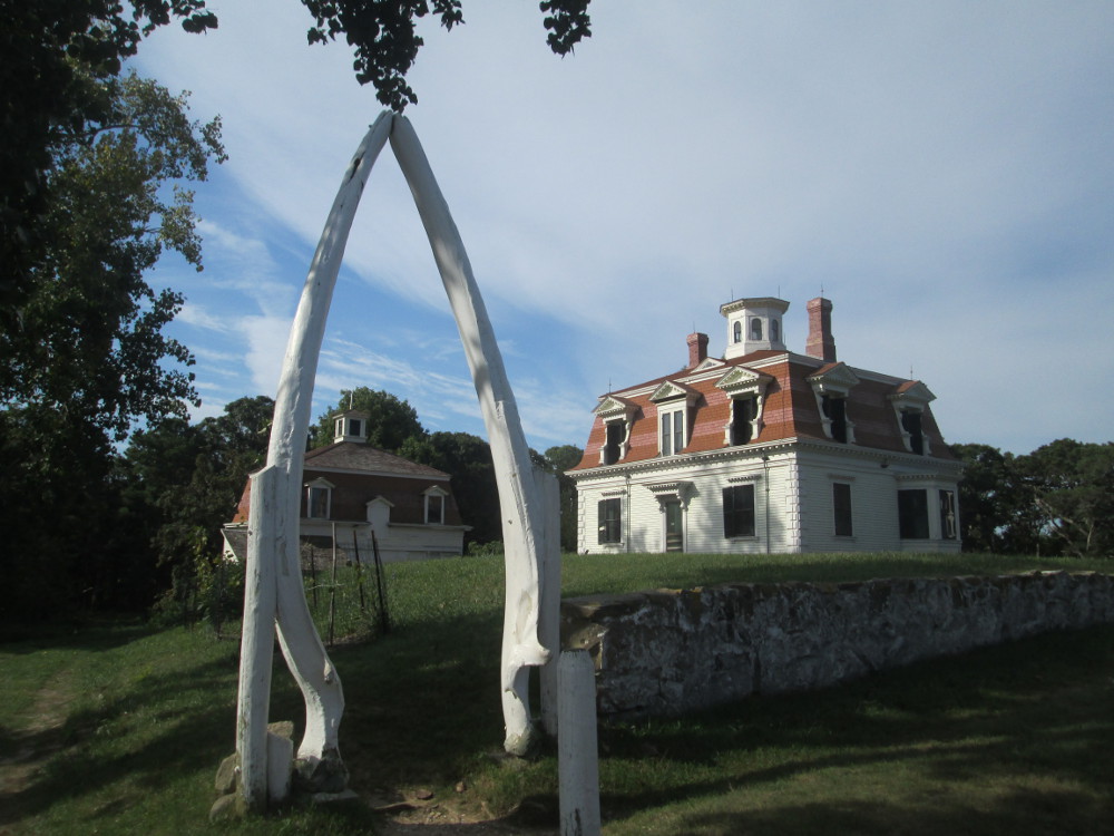
Penniman House, 1868 -visitors walk through whale bone arch of
this famous whaling sea captain; atop Fort Hill in Eastham, MA
|
|
Bicycle
Trail shortly after visiting Cape Cod National Seashore
Headquarters
|
|
|
Site
of Doane
Family homestead 1644; one of 7 families removed from Plymouth
to form town of Eastham, incorporated 1651: Bangs, Cook, Doane,
Higgins, Prence, Smalley, Snow; Cape Cod National Seashore
|
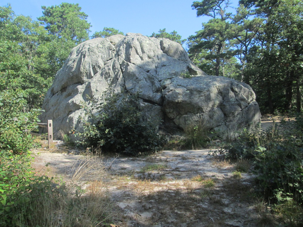
Doane
Rock – one of largest ice carried boulders in southeastern
New England
|
|
Ocean
View Drive, Cape Cod National Seashore
|
Ocean
View Drive, Cape Cod National Seashore
|
|
Ocean
View Drive, Cape Cod National Seashore
|
Ocean
View Drive, Cape Cod National Seashore
|
|
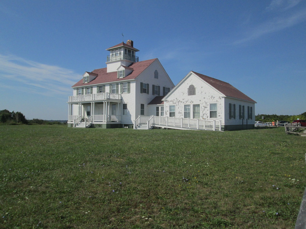
The
Outermost House, Coast
Guard Beach, Ocean View Drive, Cape Cod National Seashore
|
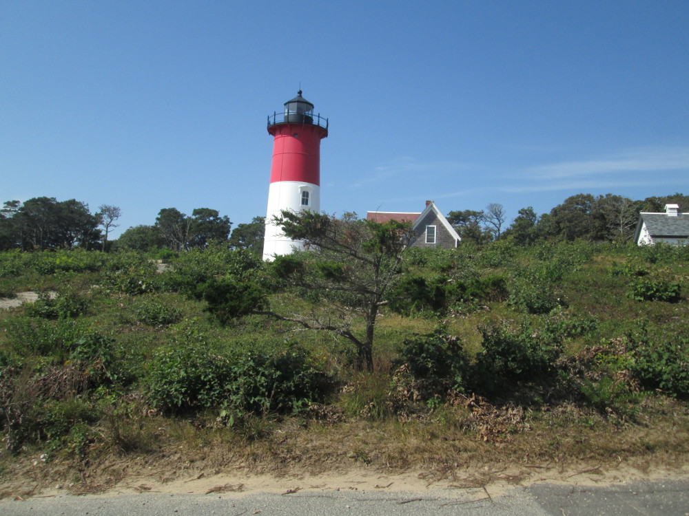
Nauset
Lighthouse, Ocean View Drive, Cape Cod National Seashore
|
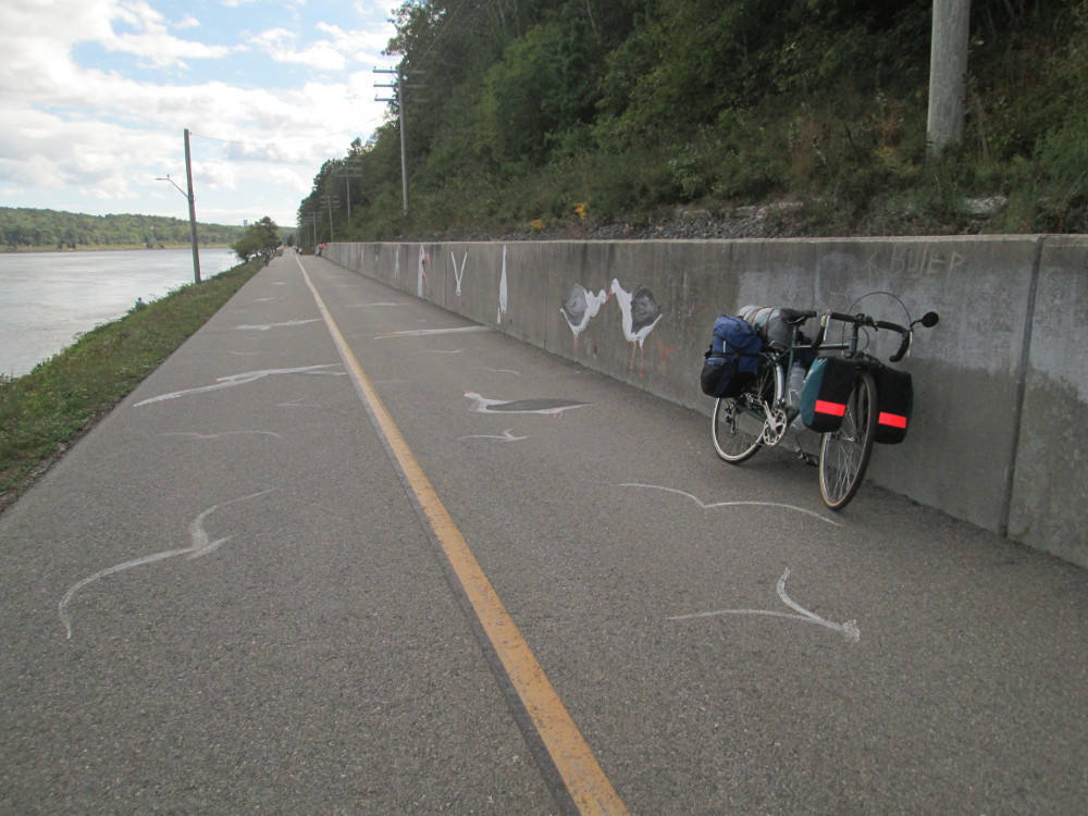
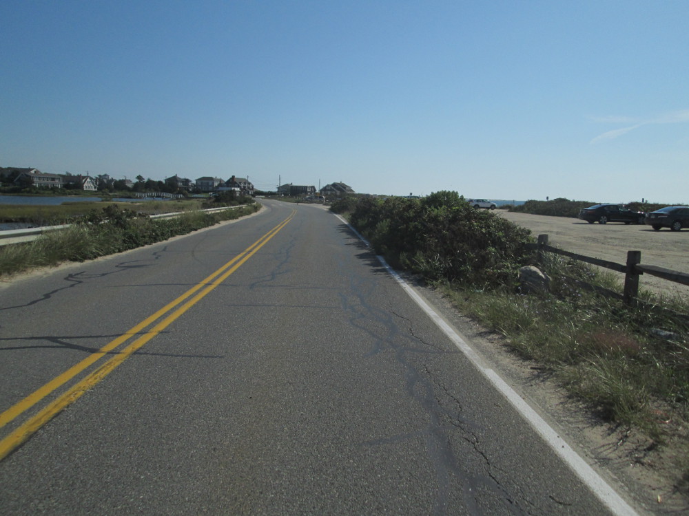
|
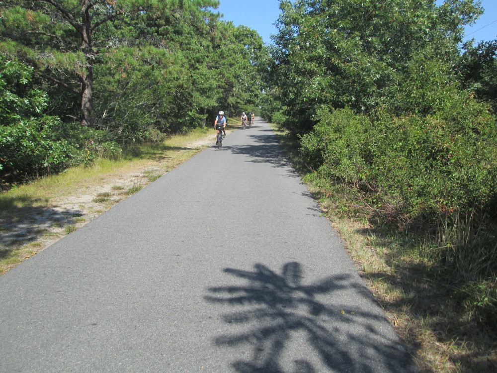
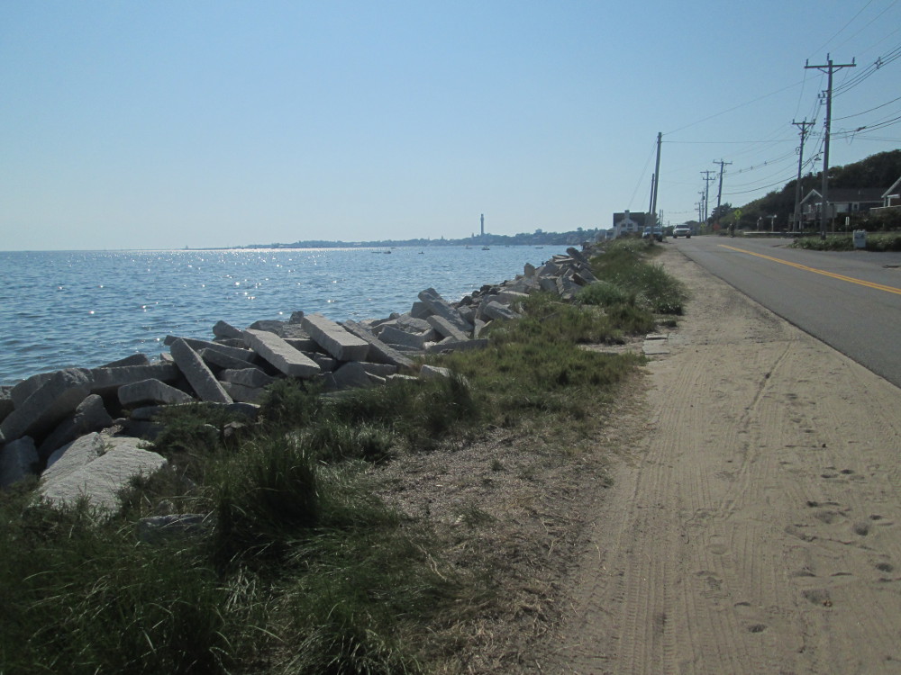
Lots
of other bicyclists on Cape Code Rail Trail, Wellfleet MA
|
Cahoon
Hollow Beach, Wellfleet, Barnstable County, MA
|
|
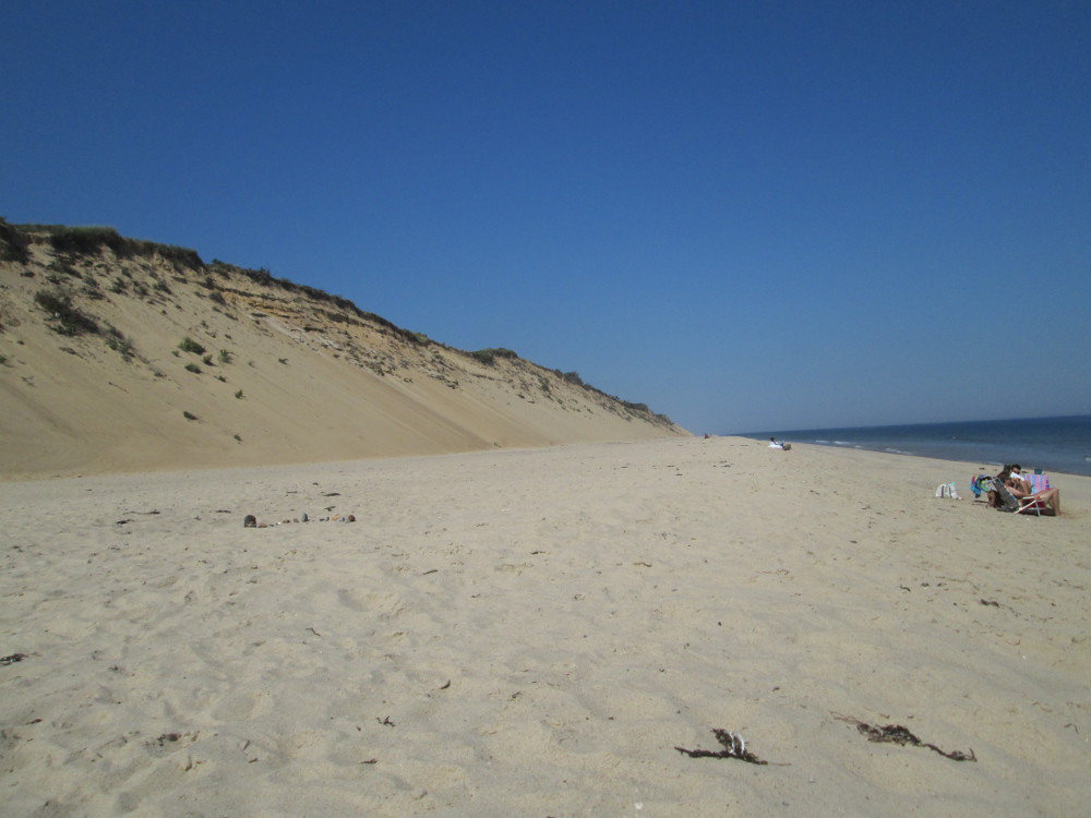
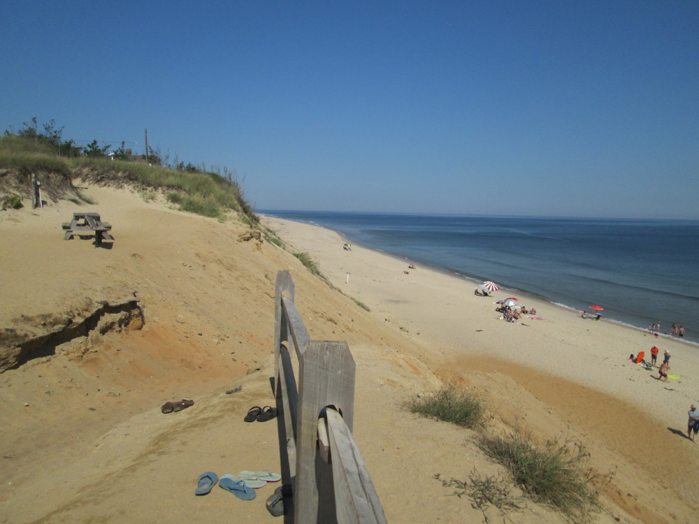
Cahoon
Hollow Beach, Barnstable County MA; very few people compared
to pictures from the summer
|
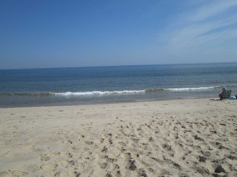
Cahoon
Hollow Beach
|
|
|
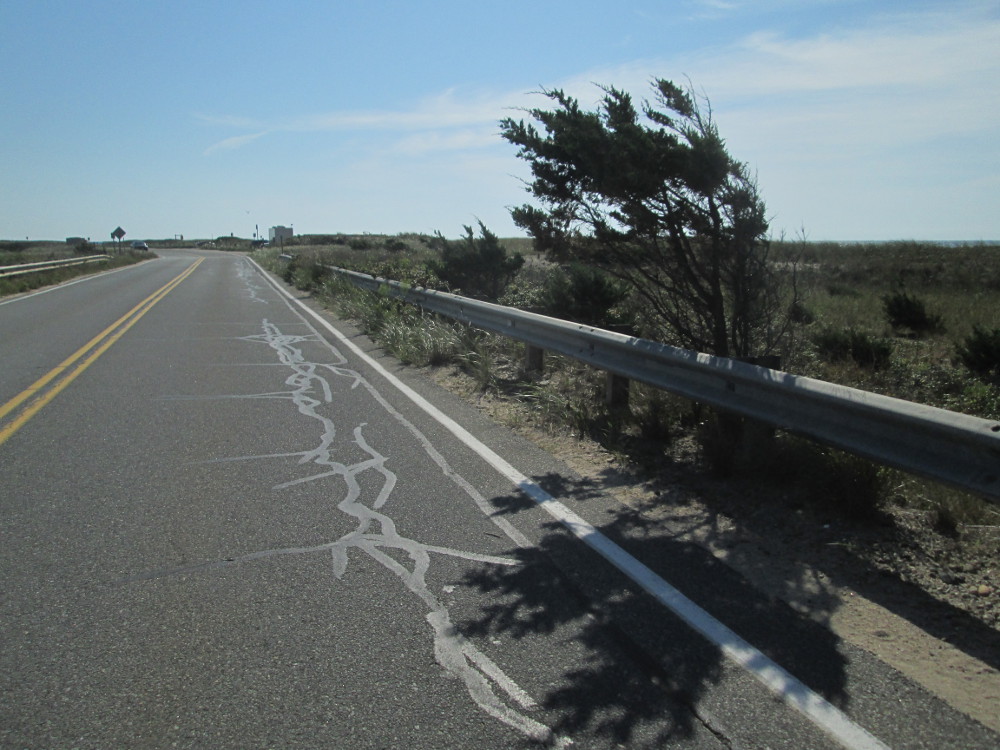
An
earthquake crack? Notice how crack in road continues in sandy
field?
|
|
Fisher
Beach, Truro, MA
|
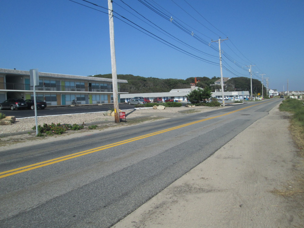
Provincetown
|
In Provincetown the group stays at a
local campground, the Dunes'
Edge Campground. Before going
to dinner at a restaurant, some people take a side tour along
Province
Lands Bicycle Trail on tip of Cape Cod near Provincetown in Cape
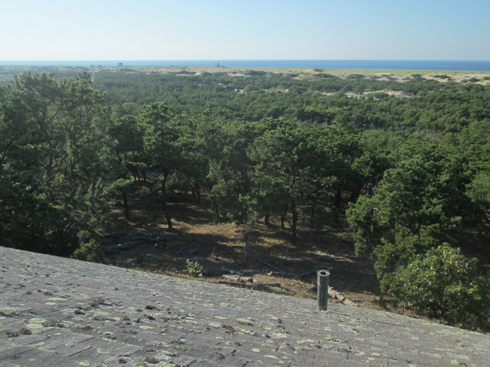
Cod National Seashore. This was the first bicycle trail ever
constructed in a national park. This is my second spin on this trail
... and, undoubtedly one of the top spots to see by bicycle in
eastern North America!
|
Province
Lands Bicycle Trail on tip of Cape Cod near Provincetown in
Cape Cod National
Seashore was the first bicycle trail ever constructed in a
national park.
|
Province
Lands Bicycle Trail
|
|
|
Race
Point Ranger Station
|
|
|
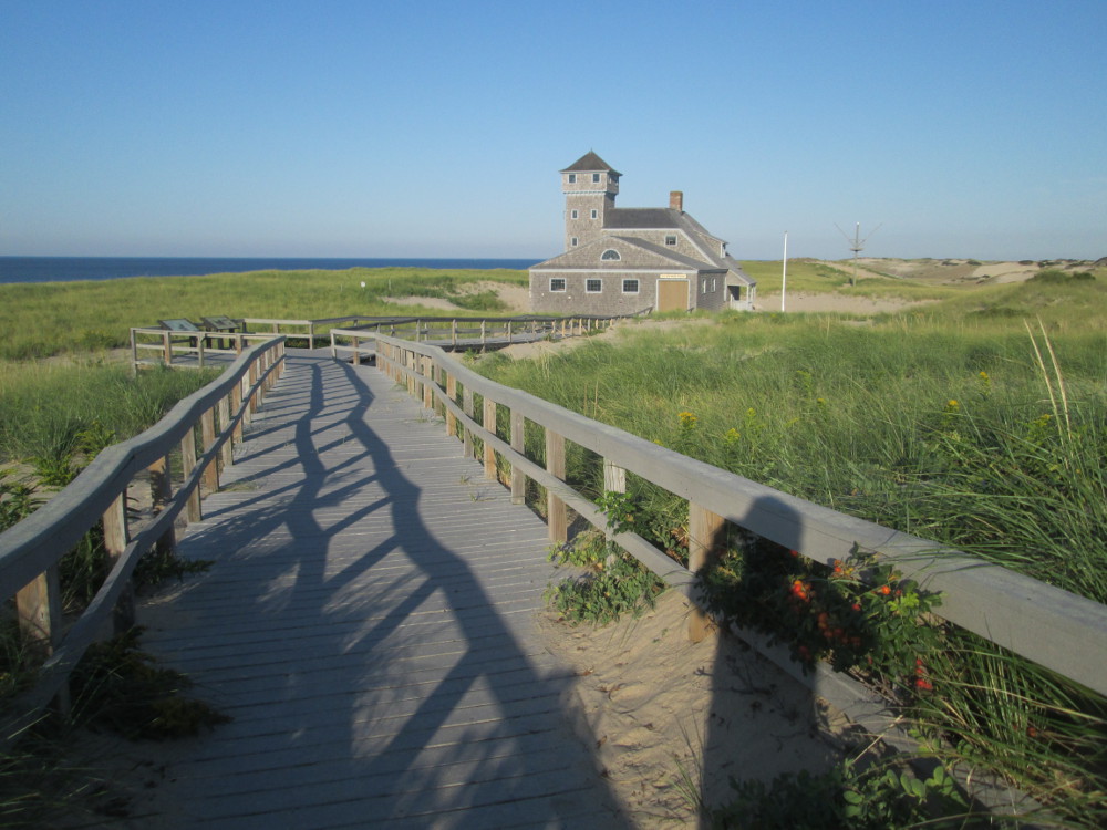
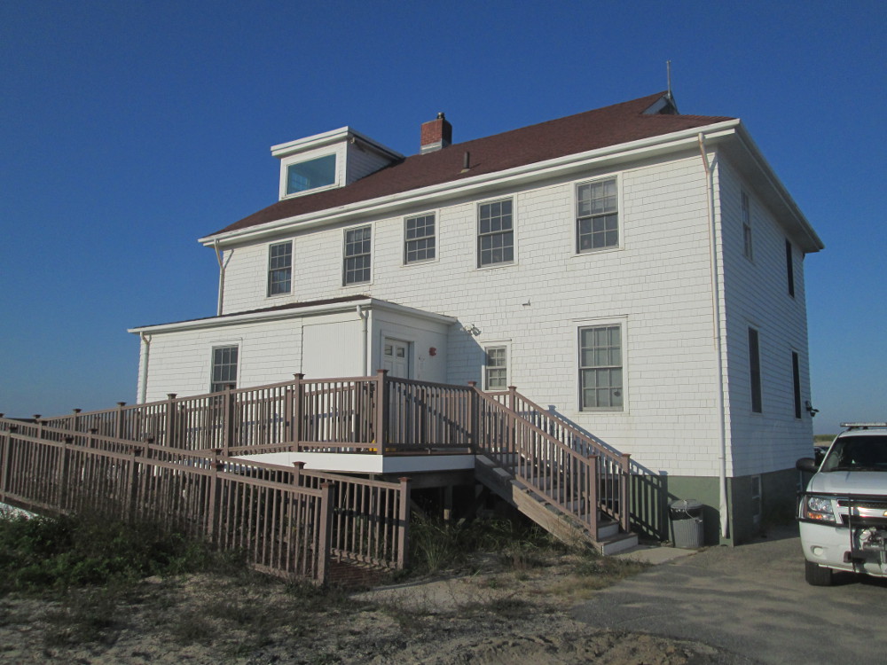
Old
Harbor Life Saving Station Museum
|
|
|
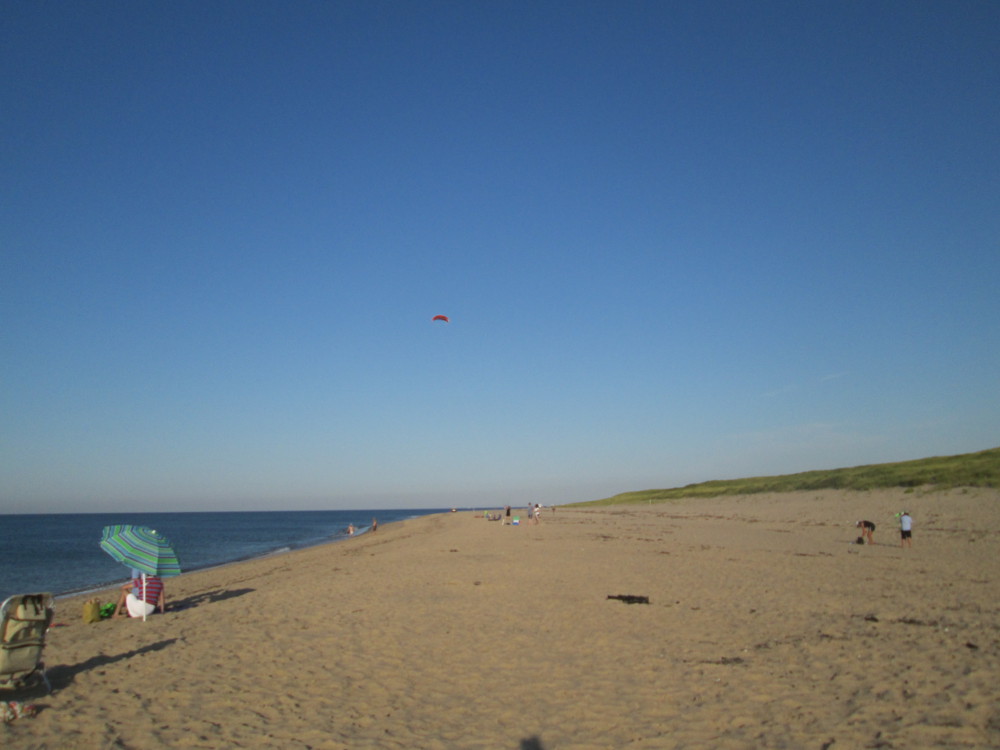
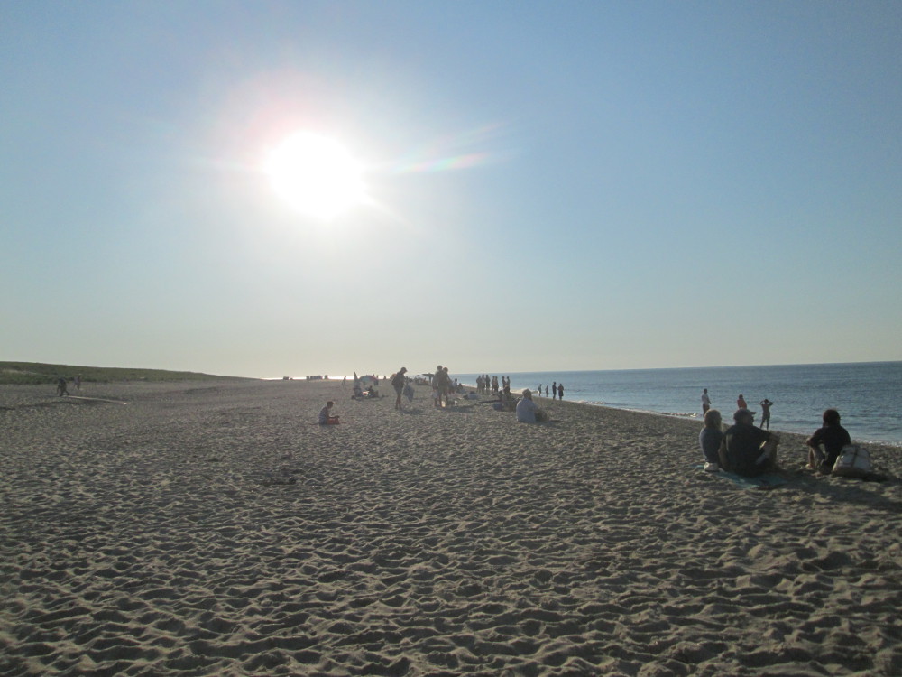
A
few kites?
|
|
|
|
|
|
|
|
|
Herring
Cove Beach
|
|
|
|
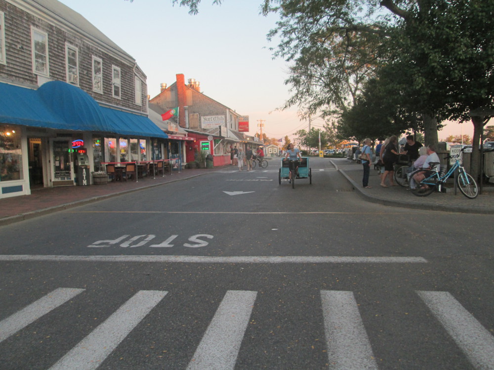
In Provincetown the group eats dinner
at Lorraine's
Restaurant. I order fish 3 or 4 times until I get something that
is still “in stock.” In the end I eat
salmon, lots of it. It's great.
|
Commercial
Street, waterfront, Provincetown, an entertainment district, going
to dinner with the trip group
|
|
|
|
|
Day
7 - Return trip along eastern shore of Cape Cod
 Today's
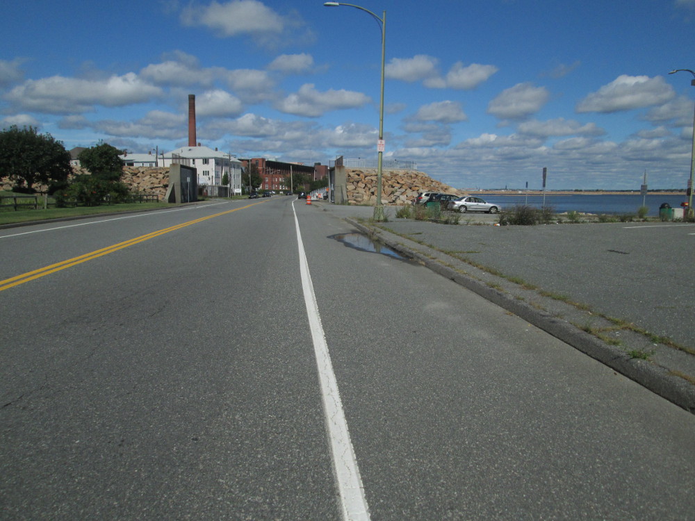
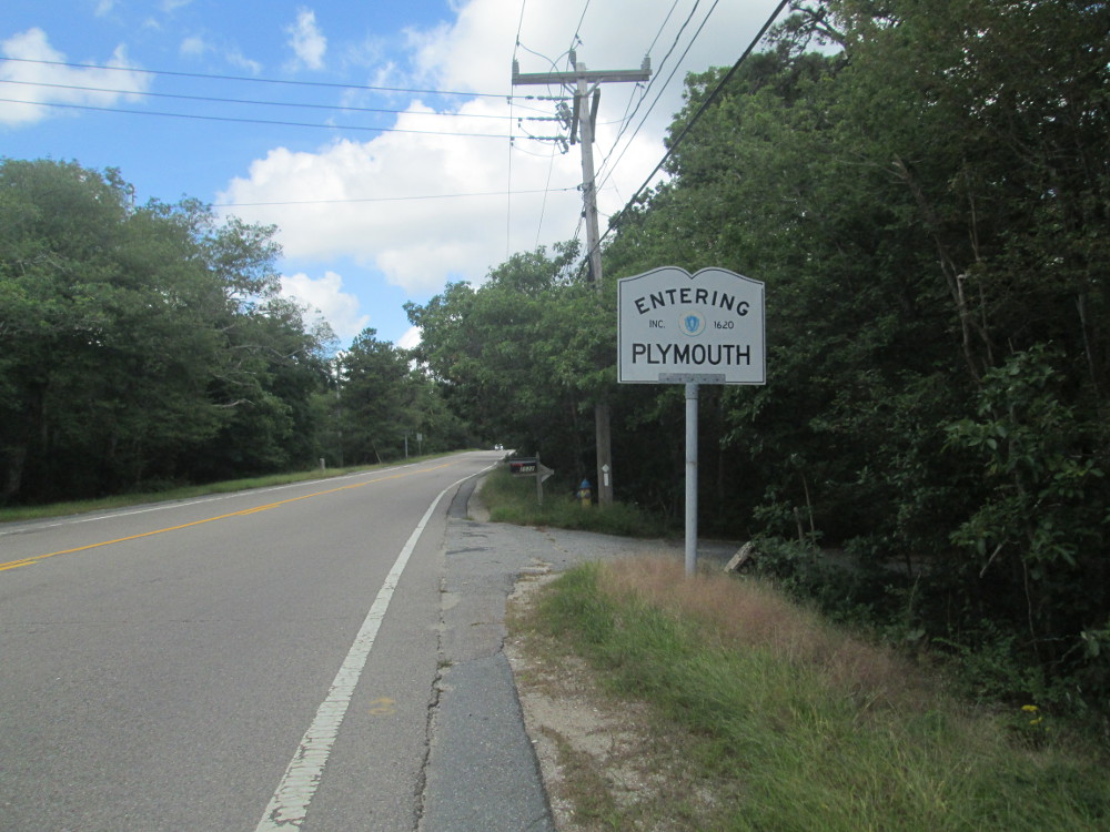
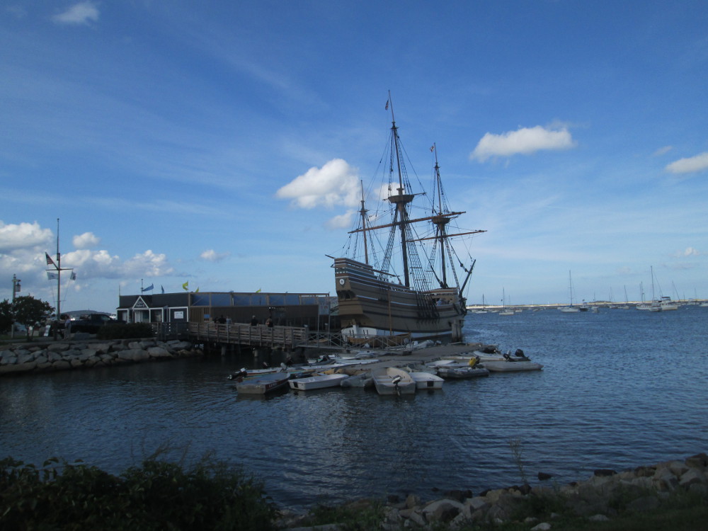
the last day of this trip ... I ride back to my car in Plymouth
from Provincetown. In Plymouth I do take a short trip to see the
reconstructed ship, The
Mayflower, and the Plymouth
Rock.
Today's
the last day of this trip ... I ride back to my car in Plymouth
from Provincetown. In Plymouth I do take a short trip to see the
reconstructed ship, The
Mayflower, and the Plymouth
Rock.
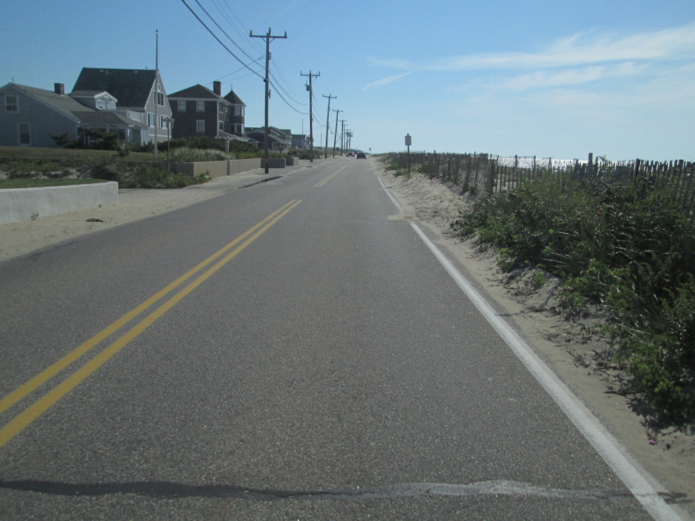
Today's route is mostly on main roads
of highways 6, then 6A, then 3A, so I encounter a bit more traffic at
times. More tourist traffic is to be expected, though, as it is a
pleasant Saturday in the fall. Highway 6 does have a wide paved
shoulder most of the way, and everyone is polite to me the rest of
the time. There are relatively few pictures of today's travels as I
need to travel a long ways. I do get to Plymouth by mid-afternoon and
find my car where I left it.
|
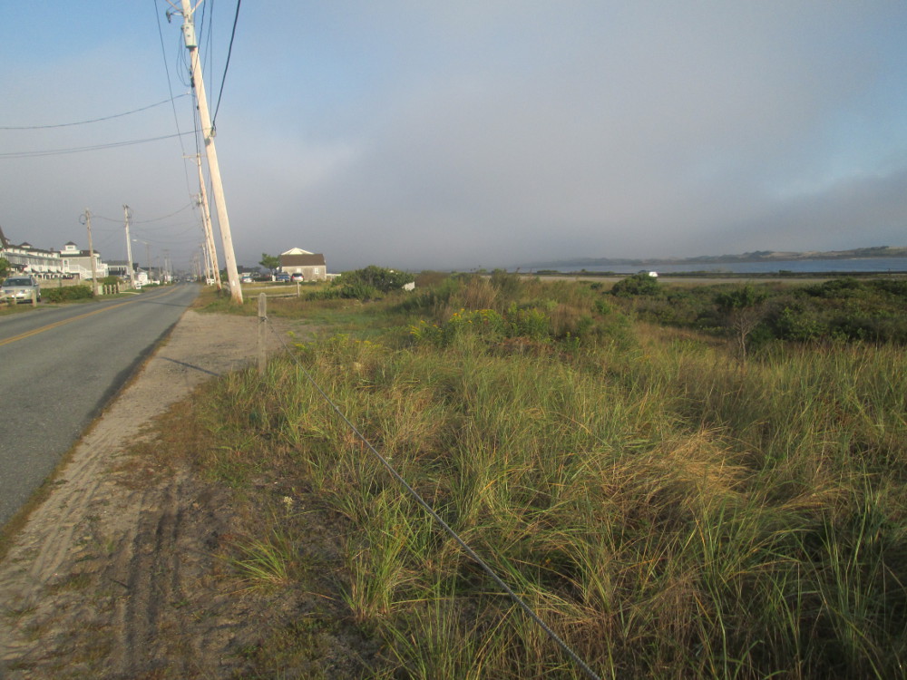
Looking
back at fog in Provincetown – East Harbour is water on the
right
|
Looking
back at fog in Provincetown – East Harbour is water at top
of picture
|
|
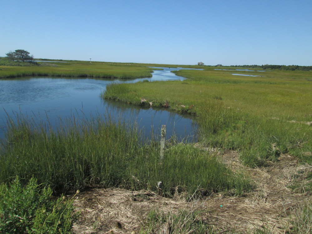
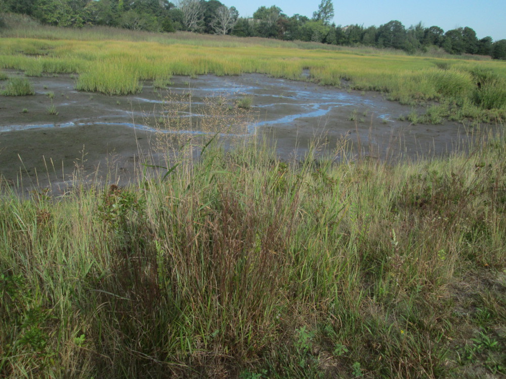
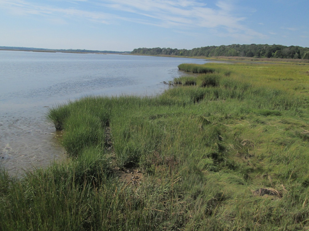
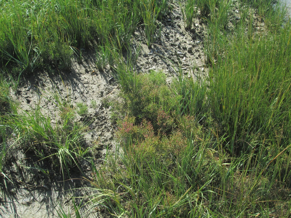
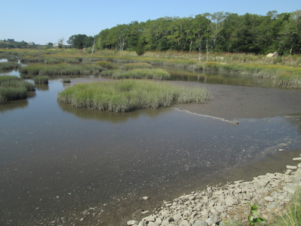
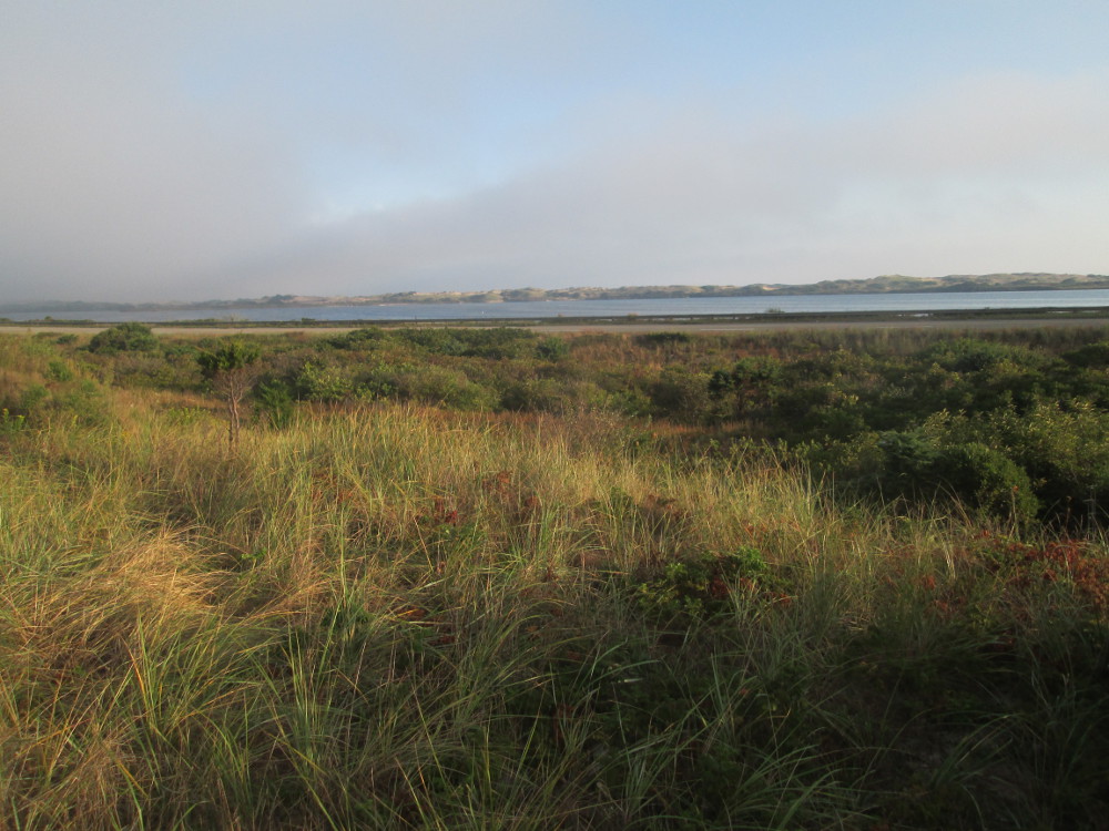
Quivett
Marsh -between West Brewster and Sesuit Beach
|
Quivett
Marsh
|
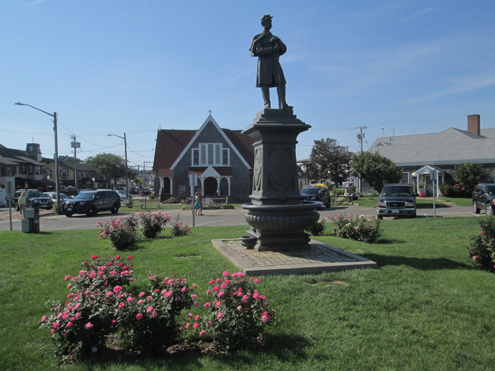
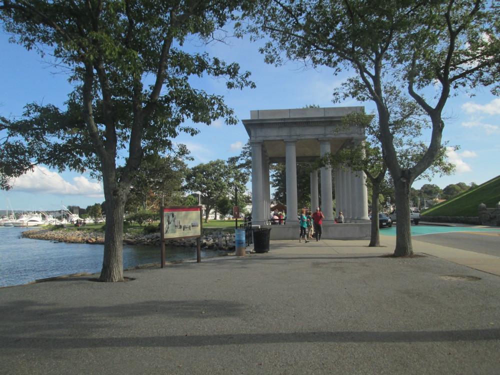
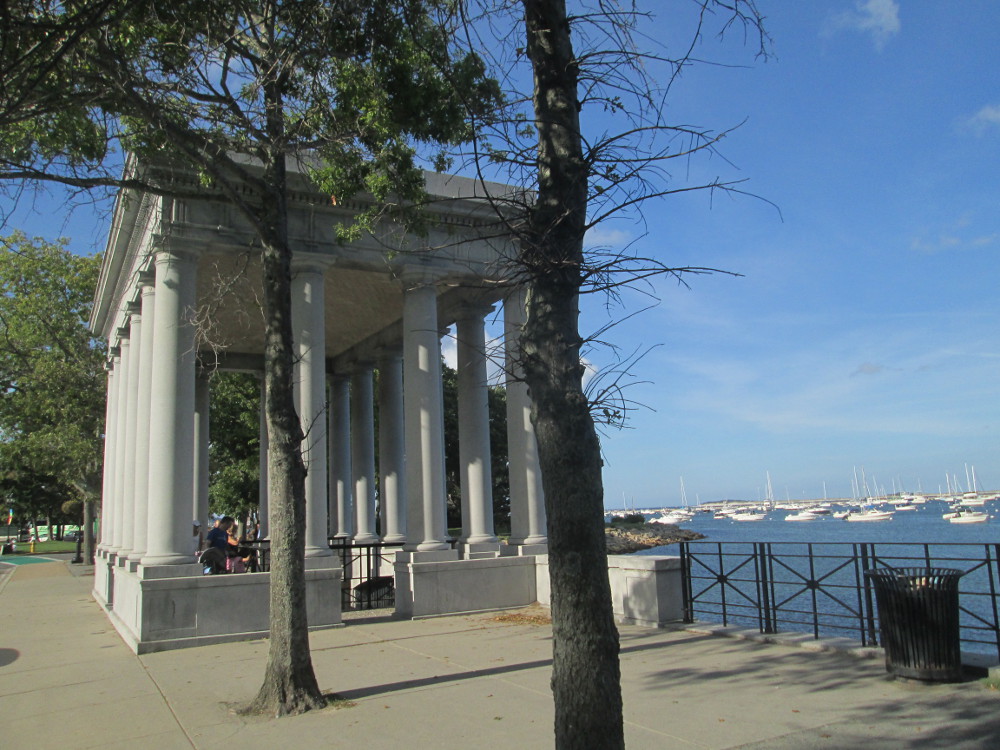
Ah, Plymouth
at last, the end of the trip is nigh? Before that I visit Pilgrim
Memorial State Park in the downtown and see The
Mayflower and Plymouth
Rock. Pilgrim Memorial State
Park was created on the 300th
anniversary of the Pilgrim's landing in 1920.
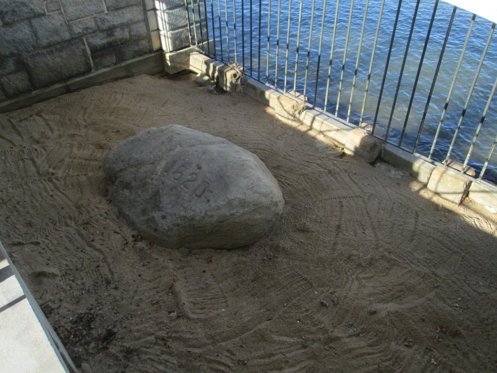
The
Mayflower brought many Pilgrims to Plymouth in 1620. Plymouth Rock is
the spot that historic lore claims to be the location where the
Mayflower landed, and many Pilgrims took their first steps onto the
terra
firma of mainland North
America – other lore indicates Plymouth Rock was a convenient
spot for docking the boats that carried the Pilgrims from the
Mayflower to the shore though now the rock is a few yards from the
shore due to more recent landscaping and the preservation of The
Plymouth Rock.
The
Pilgrims established the second successful English settlement in
North America after Jamestown,
Virginia that was started in 1607. However, Plymouth is seen by
many as “America's Hometown” as it is the first
settlement that has existed continuously to the present day unlike
Jamestown that is now only an interesting archaeological site where
no one lives. The Pilgrims came to Plymouth seeking religious freedom
and found it.
Plymouth
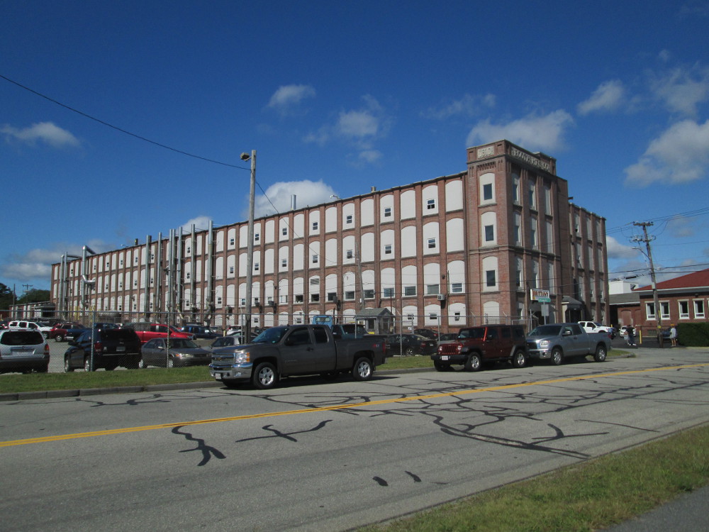
became a centre of ropemaking, fishing, and shipping for many years
that featured the development of the large Plymouth
Cordage Company, though tourism is Plymouth's major industry
today.
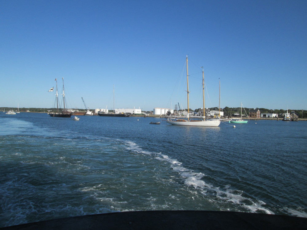
|
Plymouth
|
|
|
|
|
|
|
|
|
|
|
|
Pilgrim
Memorial State Park: reconstruction of the ship The Bounty
|
Pilgrim
Memorial State Park: Plymouth Rock
|
|
Pilgrim
Memorial State Park: Plymouth Rock
|
Pilgrim
Memorial State Park: Plymouth Rock
|