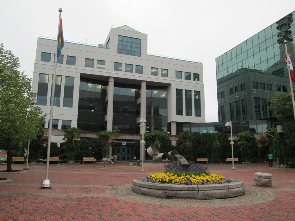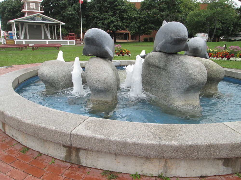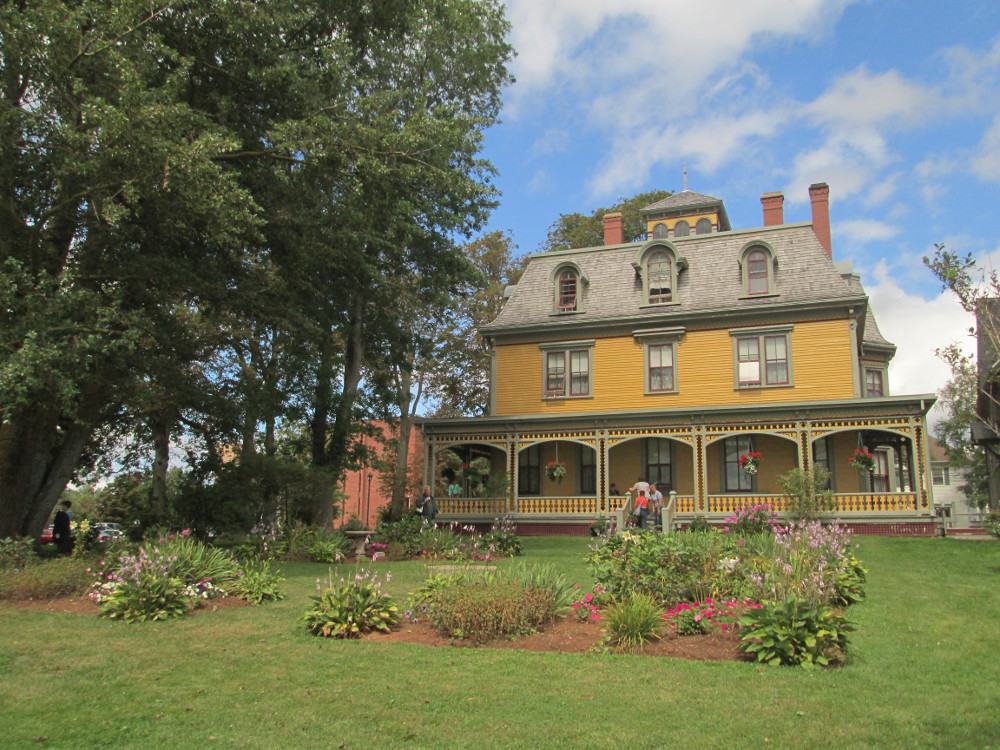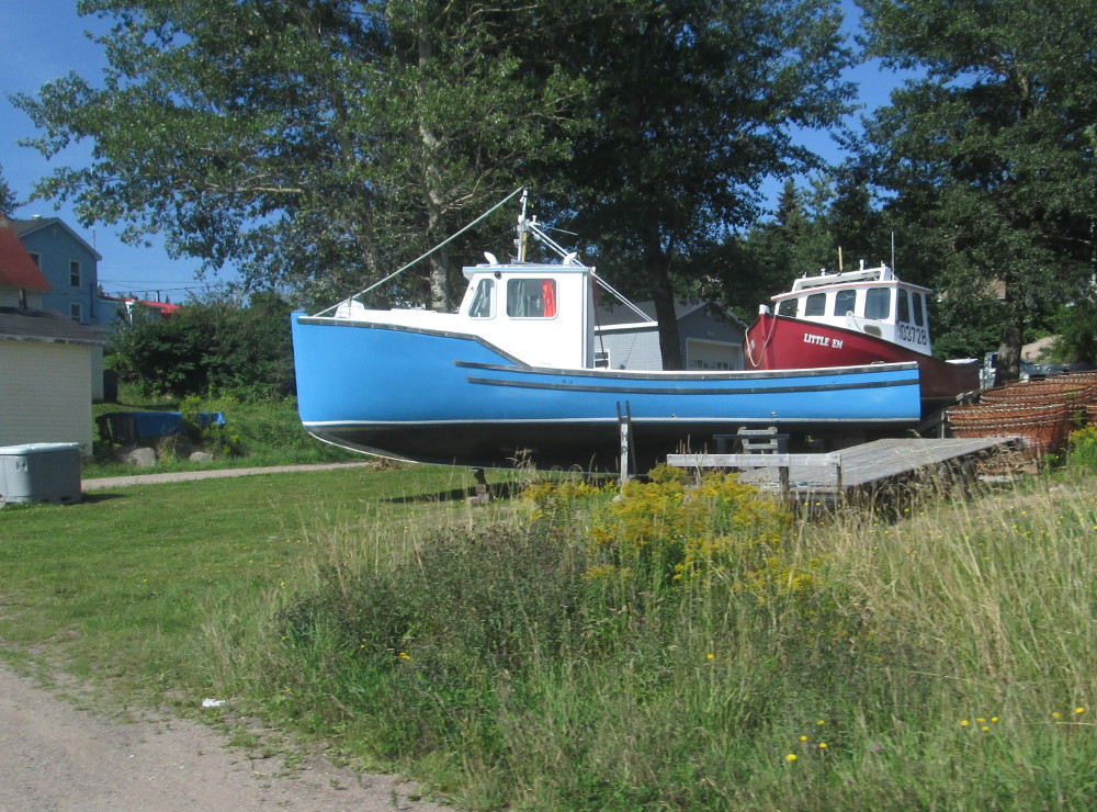
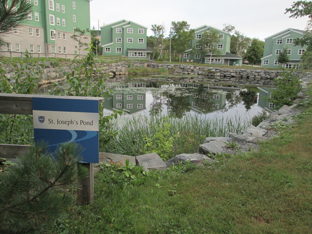
Residences
at Mount St. Vincent University
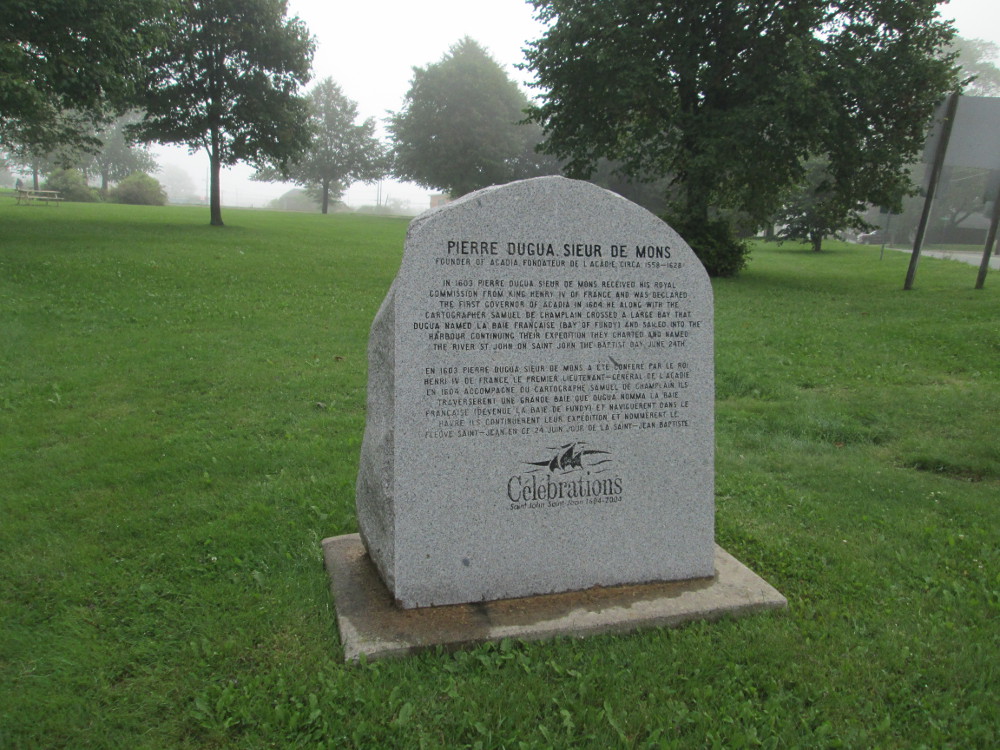
The maritime provinces are in the eastern part of Canada. On this tour, I visit three: Nova Scotia, New Brunswick, and Prince Edward Island. The tour of Nova Scotia includes a visit to Cape Breton Island where we ride the Cabot Trail.
This tour is officially called the Tour Atlantic of Cycle Canada.
Peggy's Cove, Swissair Flight 111, Graves Island
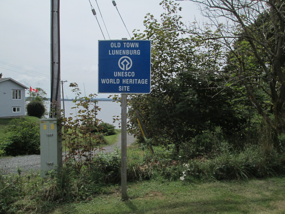
Lunenburg, Bluenose 2, Blue Rocks
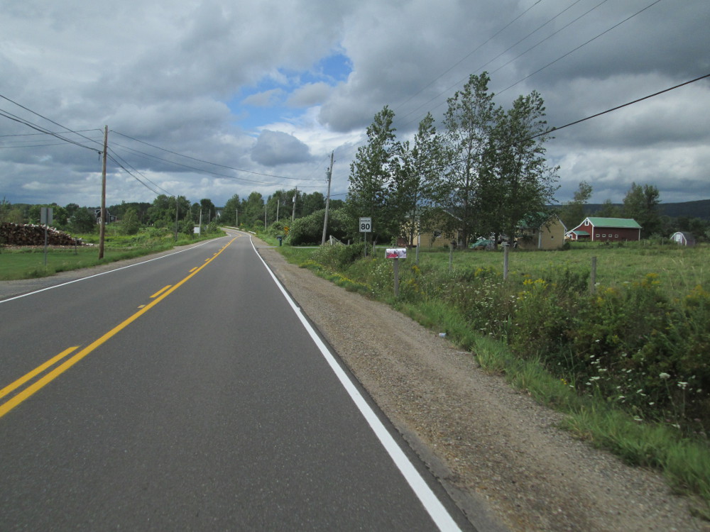
Annapolis Valley, Tidal Power, Digby
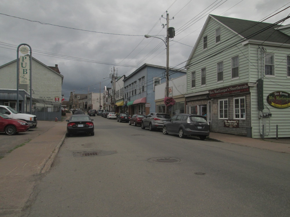
Saint John, New Brunswick, Reversing Falls
Kennebecasis Valley, Rothesay, Sussex
Fundy National Park, Hopewell Rocks, Moncton
Shediac, Giant Lobster, Cap-Pelé
Confederation Bridge, PEI National Park, Cavendish
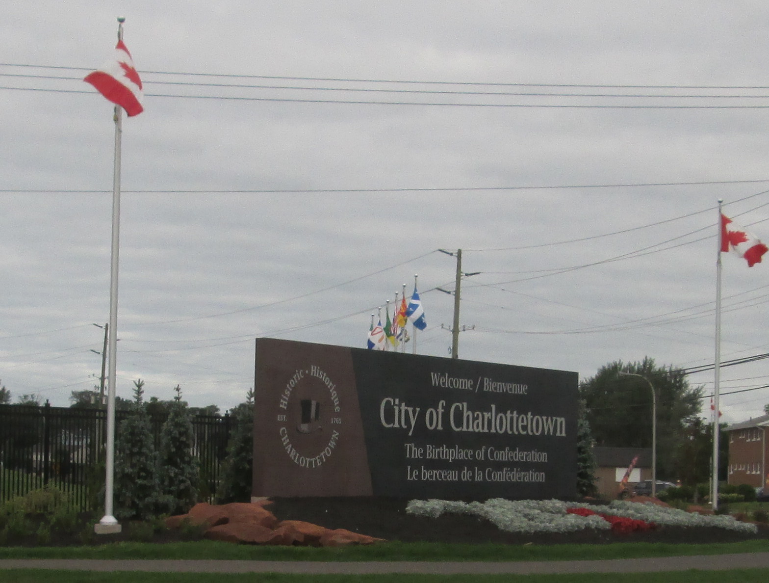
Charlottetown, PEI 2014 Celebration
Wood Islands Ferry, Pictou, New Glasgow
Culloden Cairn, Northumberland Strait, Antigonish
Canso Causeway, Cape Breton Island, Cheticamp
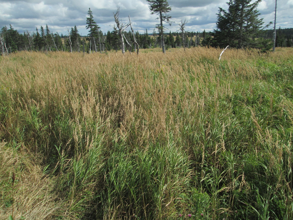
Cape Breton Highlands National Park, French Mountain Bog, Beulach Ban Waterfall
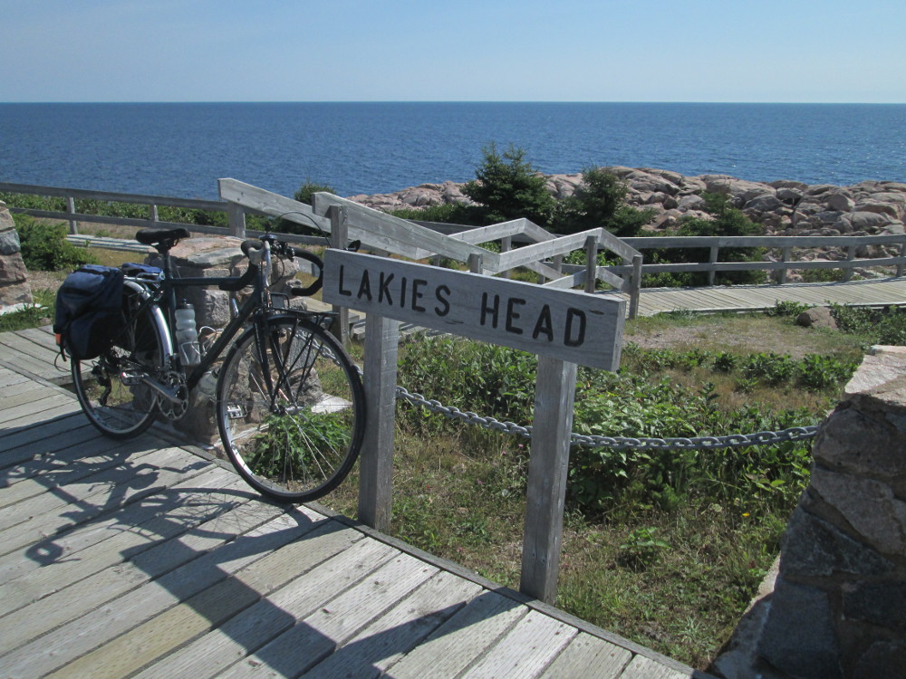
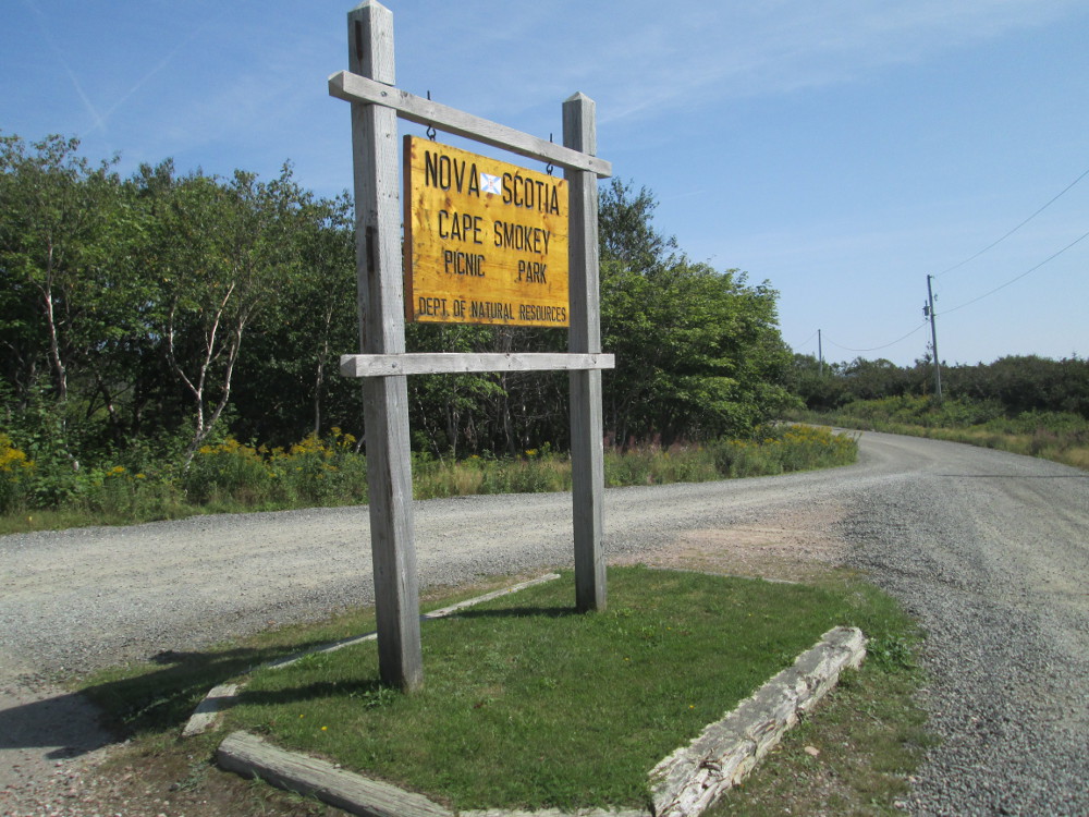
Ingonish, Cape Smokey, Baddeck
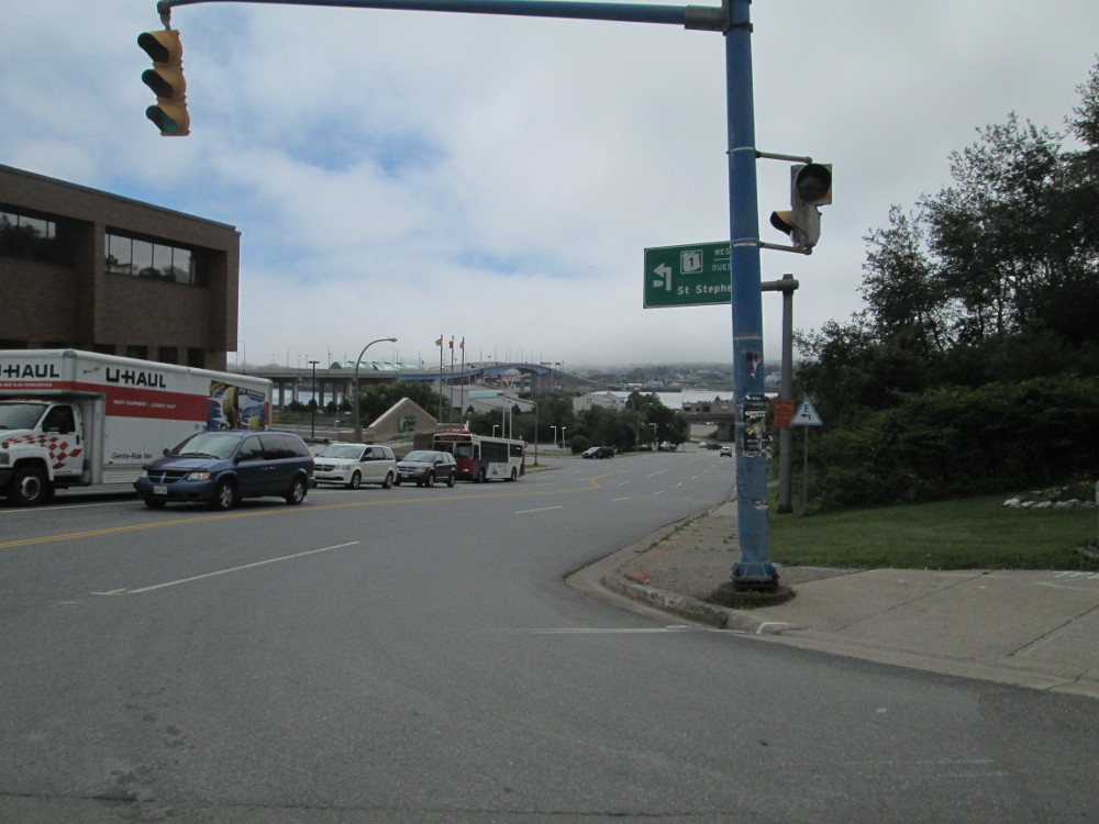
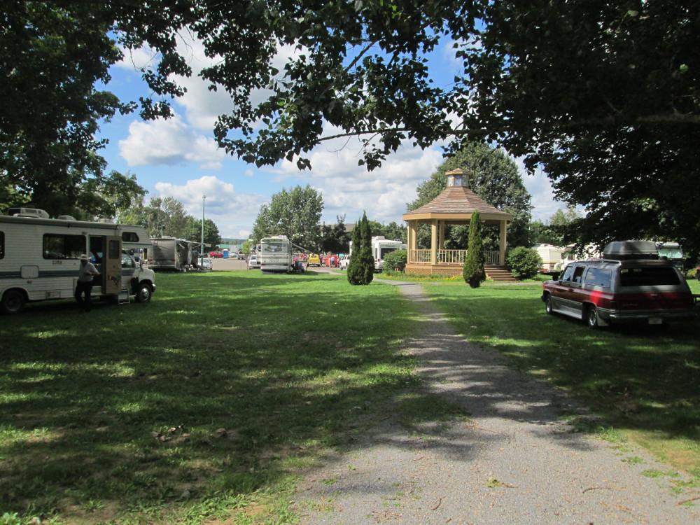
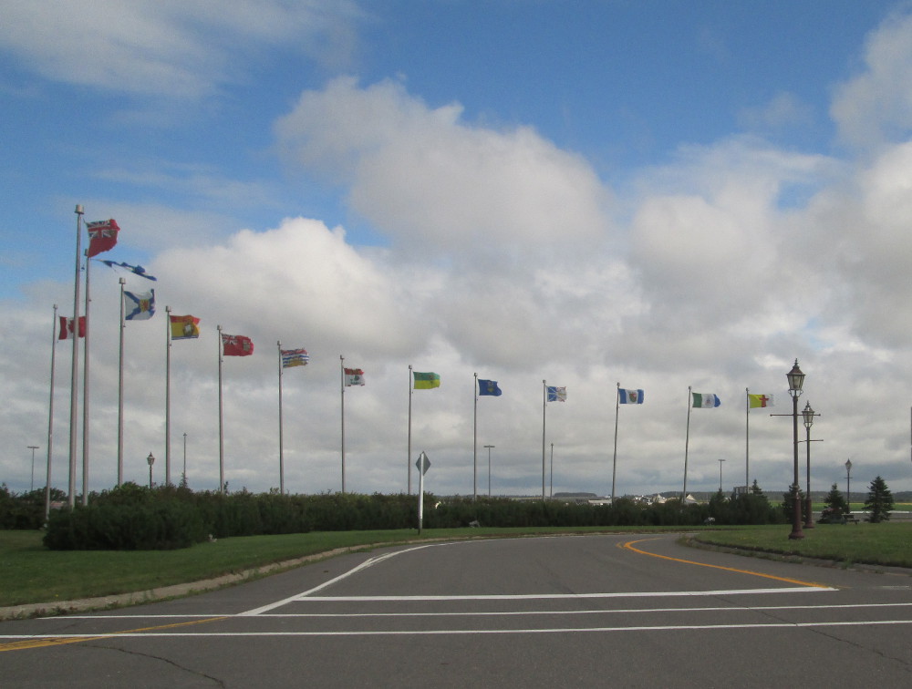
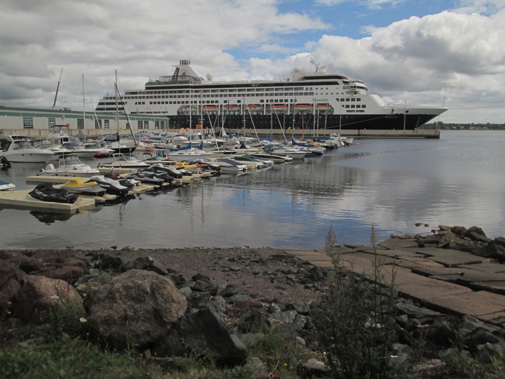
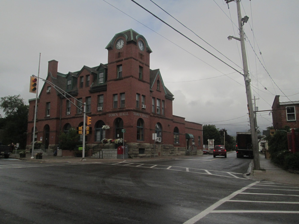
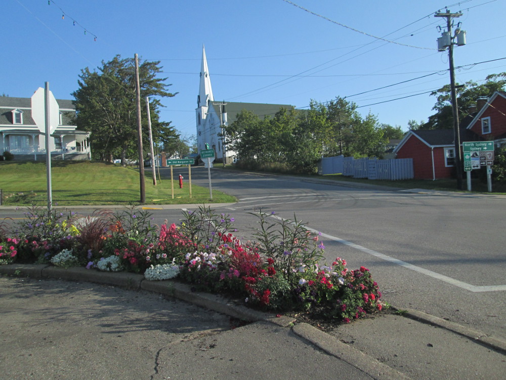
The tour begins with a meeting of participants in Halifax, Nova Scotia at Mount St. Vincent University. I fly to Halifax and, then, take the city's Metro Transit bus to the University for $3.50. It's a bit awkward at times hauling a bicycle box and a large, heavy bag of bicycling gear on a city bus, but the bus drivers are very friendly and helpful, and the alternative is a taxi for an unknown amount. One other cyclist claims spending $60 on a taxi. The bus ride takes over an hour with one transfer.
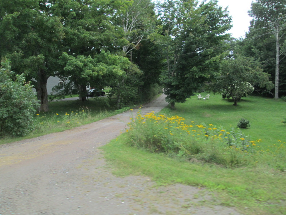
Also very helpful is the Maritime hospitality and friendliness displayed by one person who's driving by just after I get off the bus at Mount St. Vincent University. There's a huge, steep hill to climb to the university residences. I'm standing at the bottom of this hill contemplating the situation and am somewhat overwhelmed by my gear: a huge and heavy bag of equipment, a large box that contains my bicycle, and 2 other small bags. I can carry them all if necessary, but it is awkward. Suddenly, a car leaves the main road, stops where I stand, the driver gets out. We talk, and he offers to drive me up the hill. My dilemma is resolved by this display of Maritime hospitality and friendliness. Very quickly, I and my bags are on the tarmac outside the University Residence where the tour is assembling.
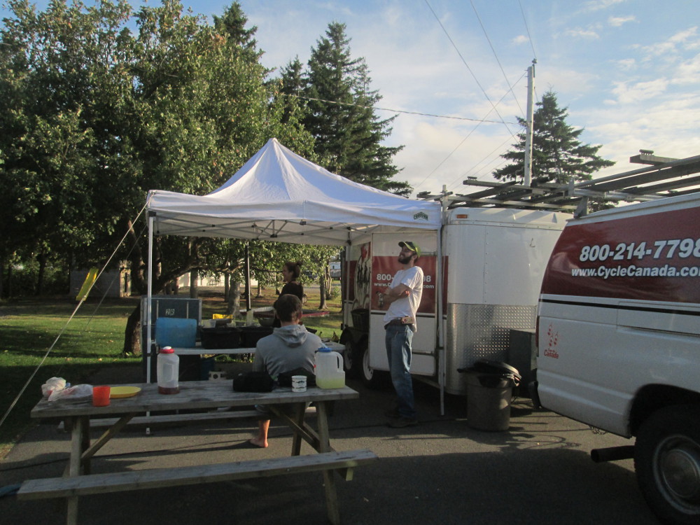
At the afternoon meeting of participants, I discover that this is a tour with a small number of cyclists. Most tours of Cycle Canada have between 15 and 30 riders. On this tour, there are currently 4 cyclists and another will join the tour in Moncton. Bud Jorgensen of Cycle Canada, is one of the four. He's just riding the first week, to Moncton. The tour hosts are: Ms. Tara and Mr. Chris. Tara is cooking; Chris is driving the truck and trailer that carries all our gear and camping equipment. The other cyclists are Matt and Denise.
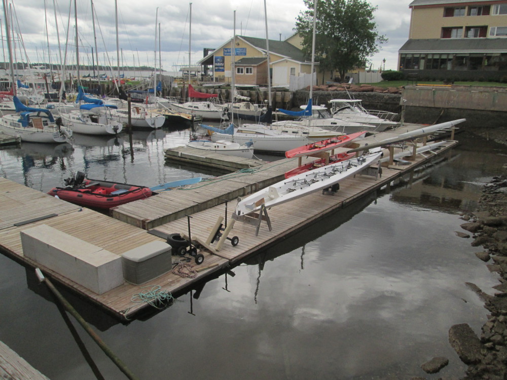
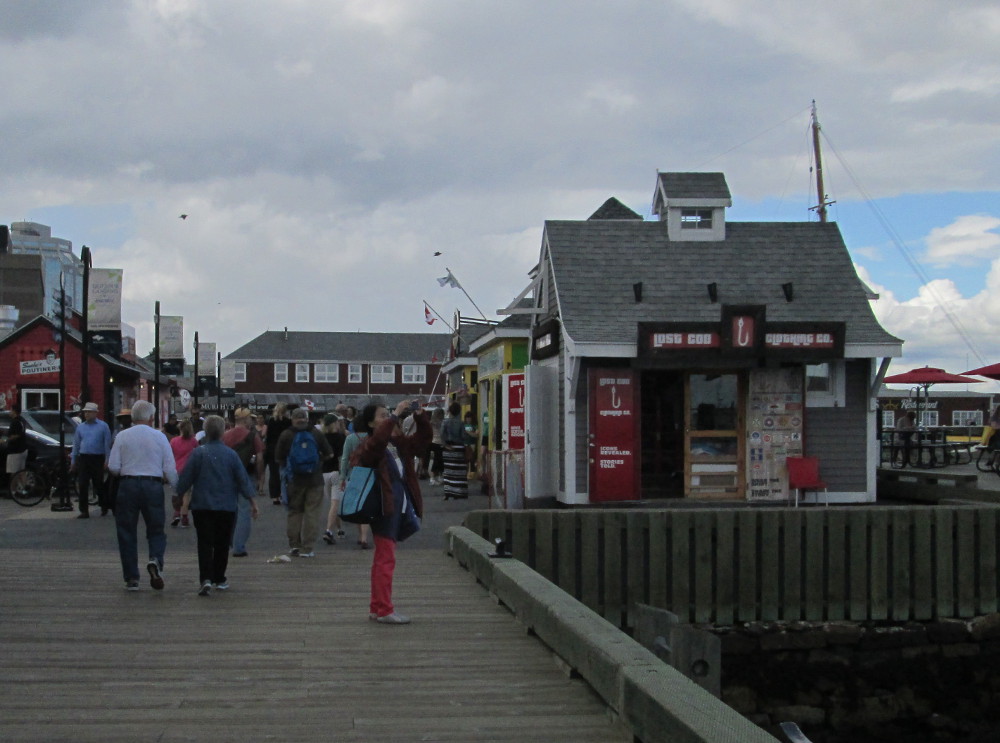
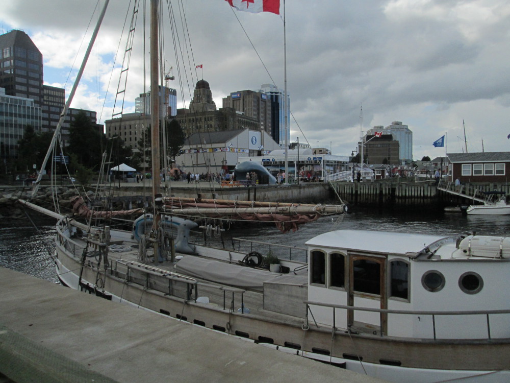
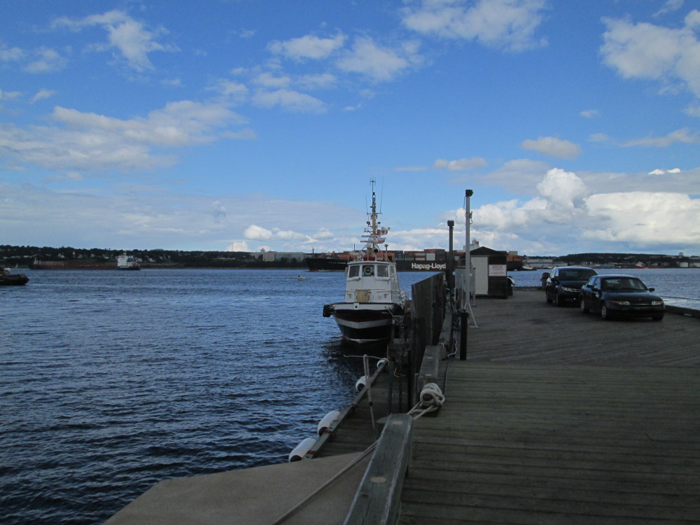
After the meeting, I take a Metro Transit bus downtown with some of the others. We walk along Halifax Waterfront Boardwalk, eat at Stayner's Warf after one fussy rider examines numerous menus at other restaurants, and have ice cream at Cows, before returning to Mount St. Vincent University on our bus transfers – only purchased a ticket going downtown, used the transfer on the return trip. I have “Don Cherry” flavored ice cream. Yummy! On the bus trips we see the greenery of Halifax Common, Halifax Public Garden, and Camp Hill Cemetery, as well as much of the commerce and industry of Halifax including a container port – Fairview Cove.
|
|
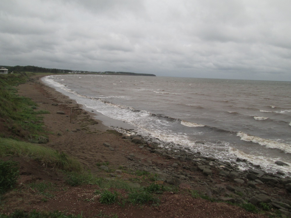
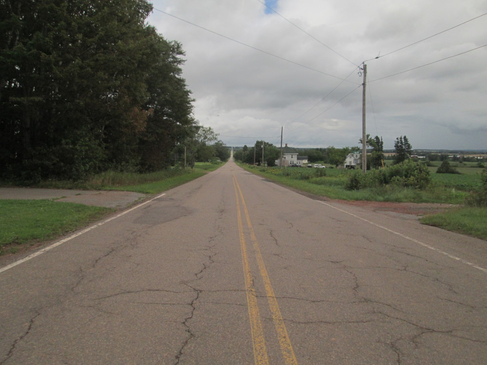
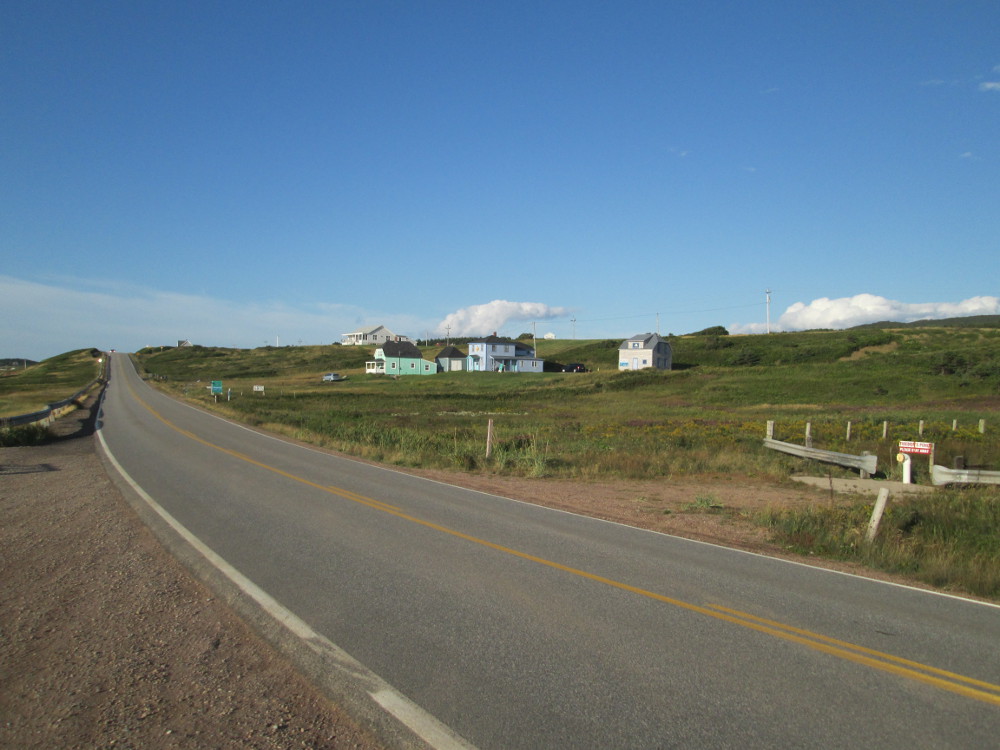
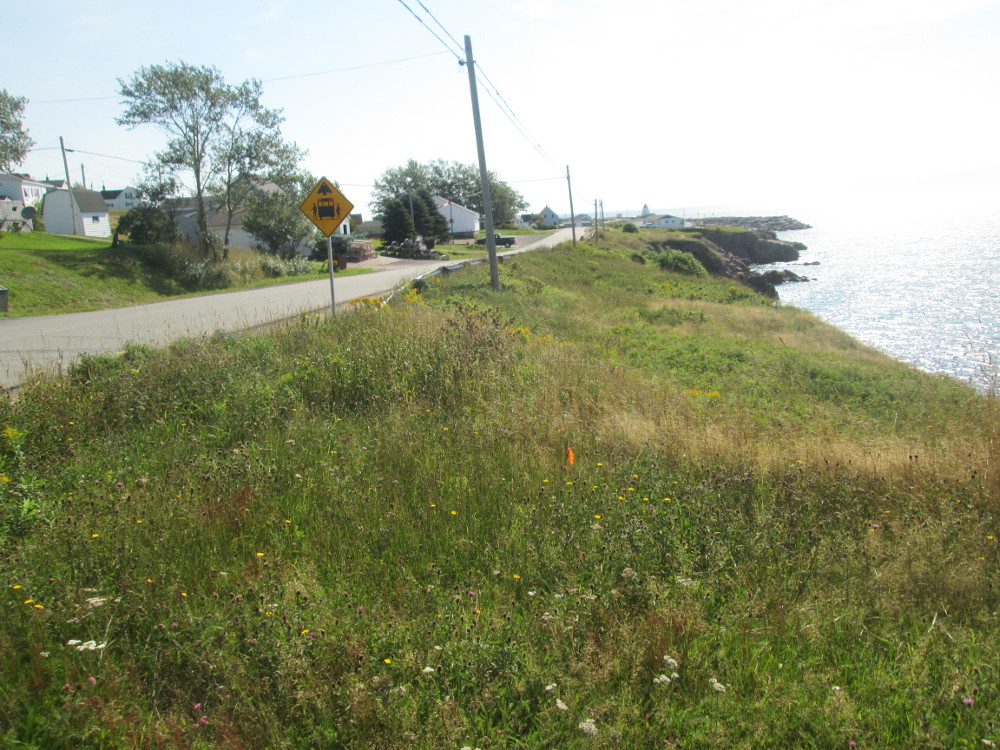
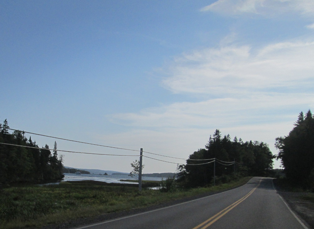
The route: The first day and a half follows the southern coast of Nova Scotia, going west from Halifax.
The day begins with food at the cafeteria. It's great.
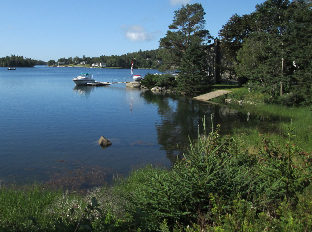
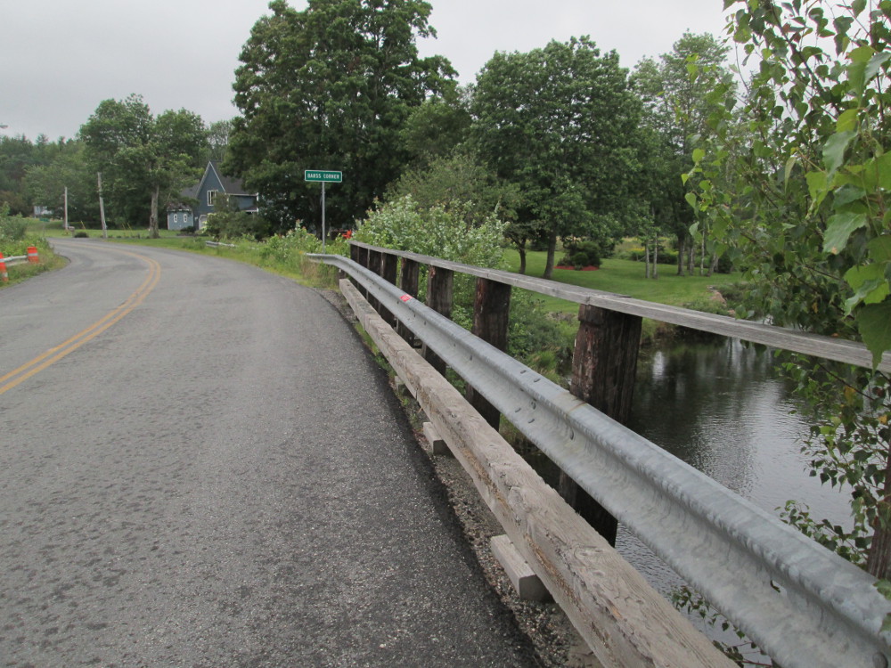
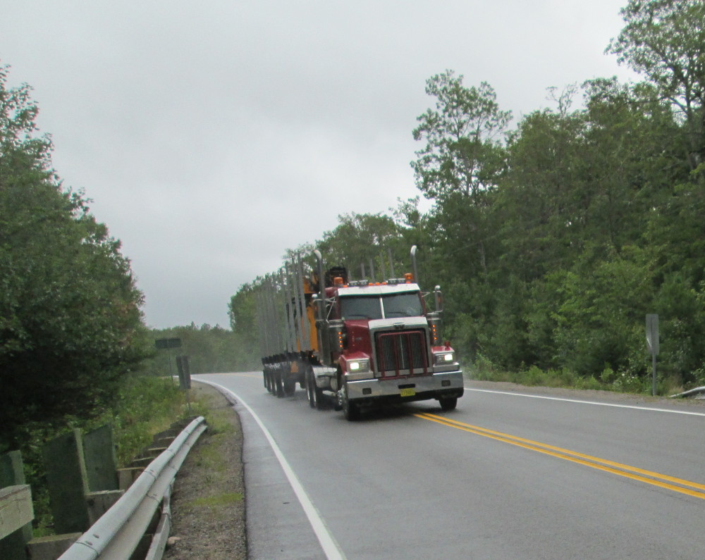
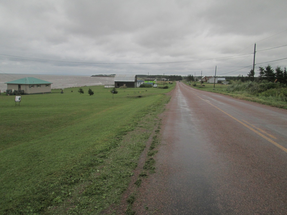
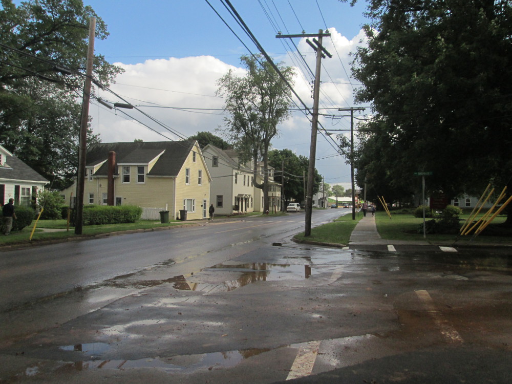
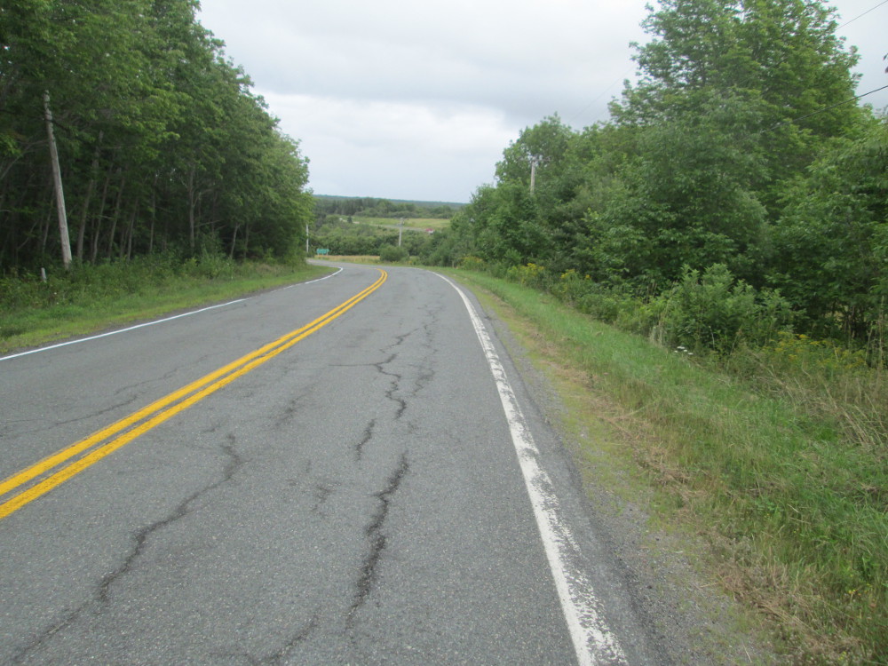
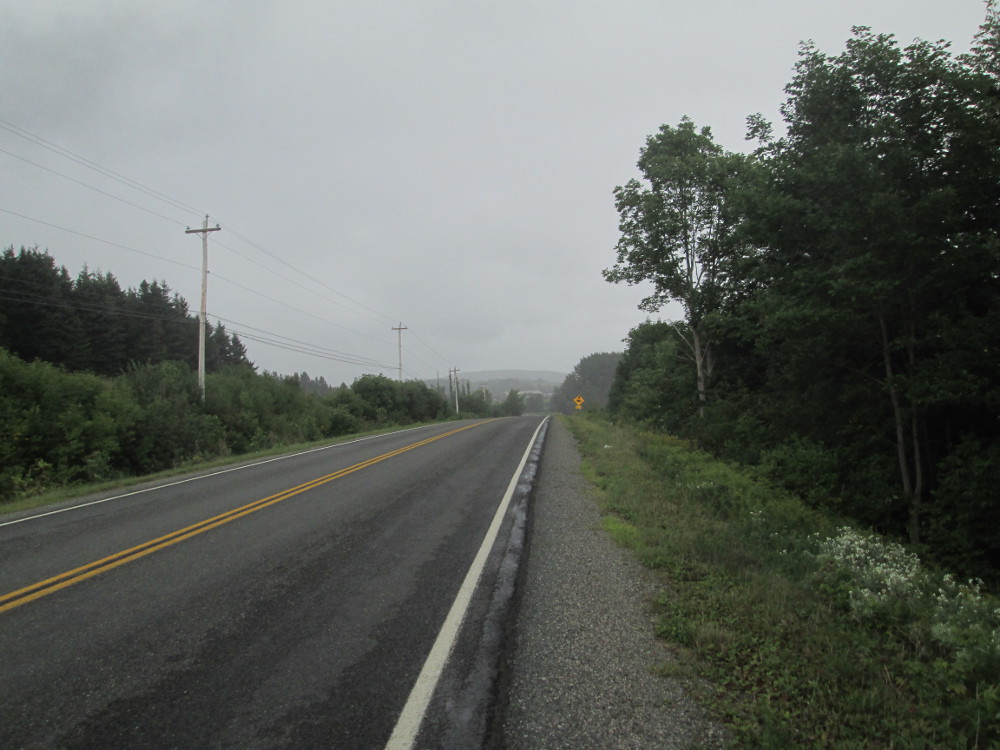
Next step is leaving the University by the “back door” - the trail at the back – to avoid going down and up a steep slope. Bud leads us through town until we get on the main road around the Chebucto Peninsula. Very quickly we are out of Halifax metro area and on a road along the seashore with water on the left and colourful houses on the right.
|
|
|
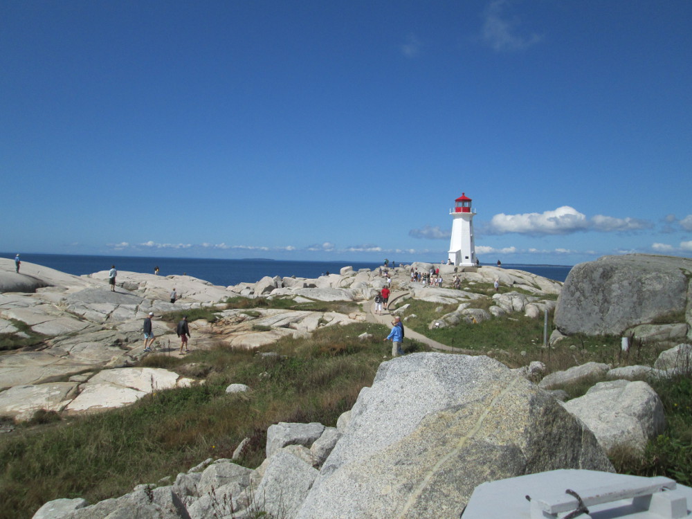
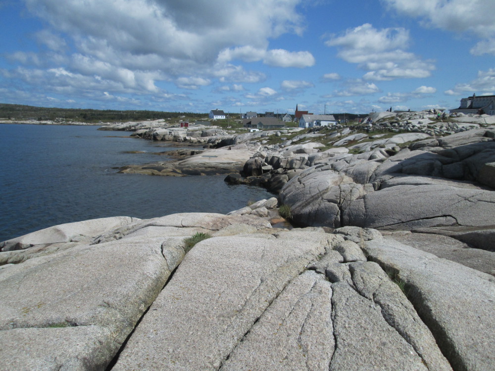
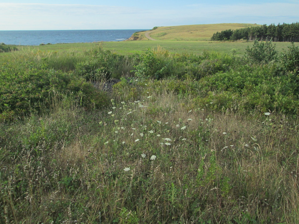
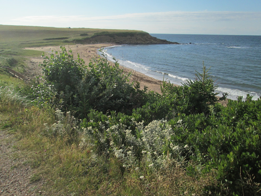
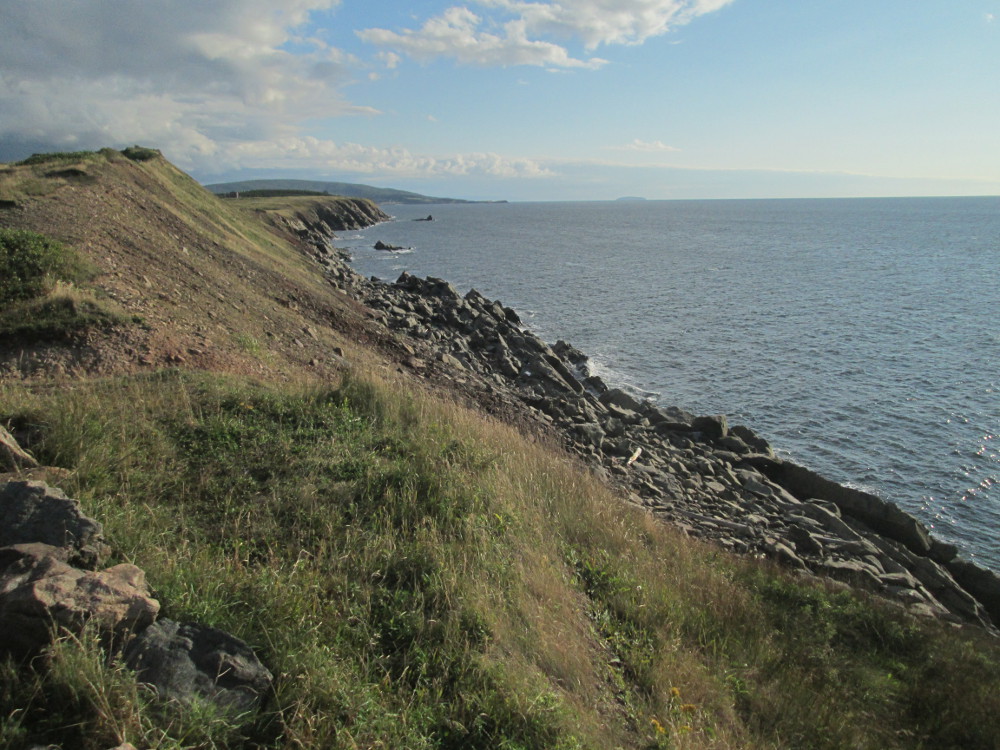
The tour continues to Peggy's Cove and around St. Margarets Bay, Nova Scotia to Bayswater. Peggy's Cove is famous for it's lighthouse on exposed rocks, the number of exposed rocks, and waves pounding up on the rocks. It's relatively calm today. There are no waves. Instead, there are so many people at Peggy's Cove that it's hard to see the rocks, at times.
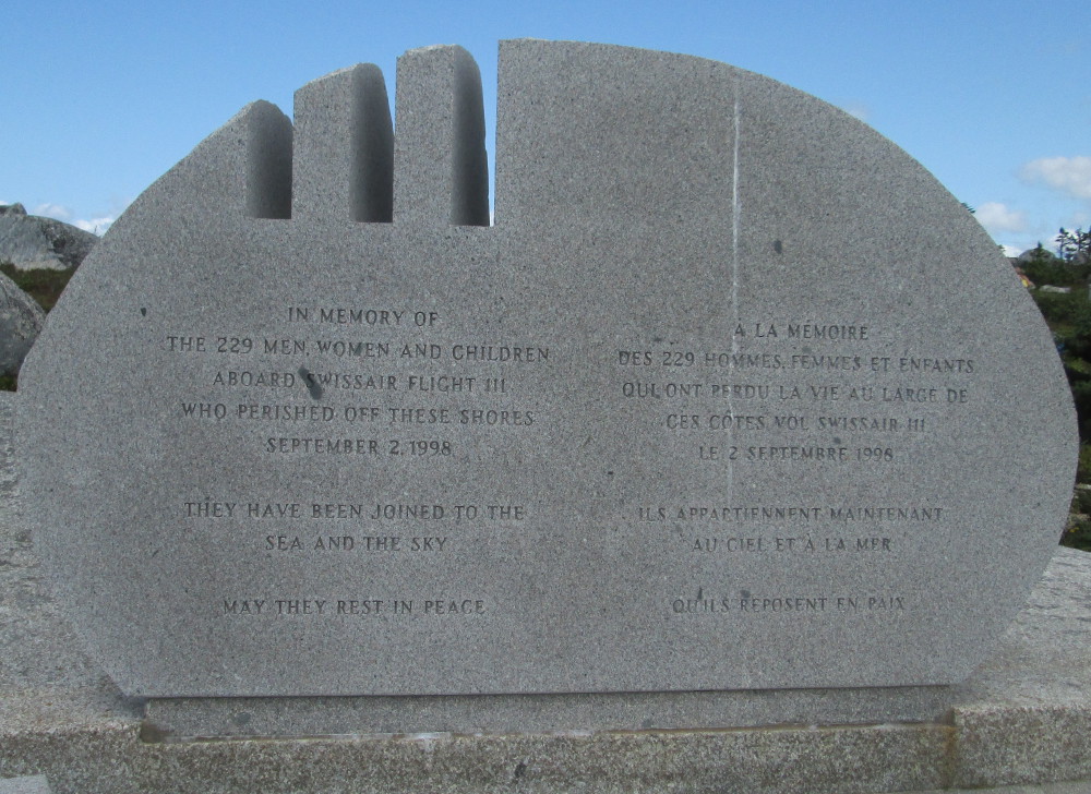
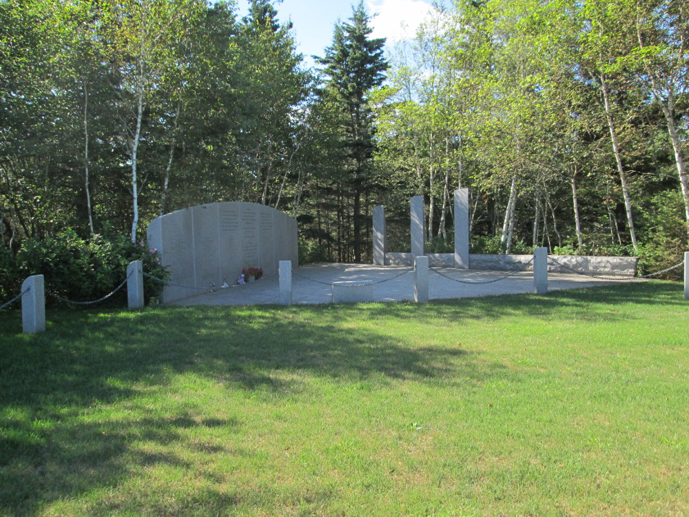
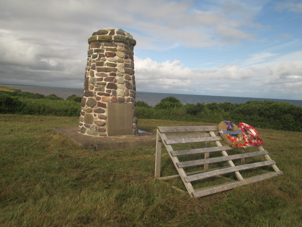
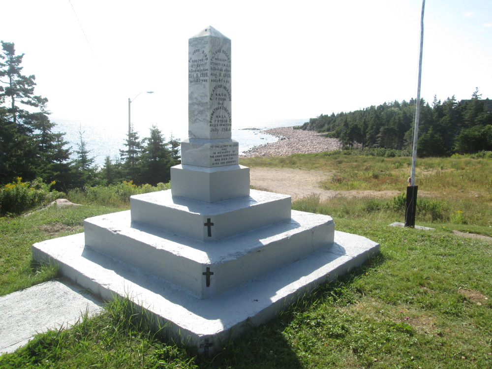
Near Peggy's Cove on The Whalesback, is a memorial to Swissair Flight 111 that broke up and crashed due to a fire on board, in St. Margarets Bay on Wednesday, 2 September 1998. The weather that day was excellent for flying. The aircraft struck the ocean at 555 km/h. All aboard were killed. There is a second memorial on the other side of St. Margarets Bay near Bayswater Beach Provincial Park on the Aspotogan Peninsula in Bayswater . The unidentified remains of the victims are buried at the second memorial.
|
|
|
|
|
|
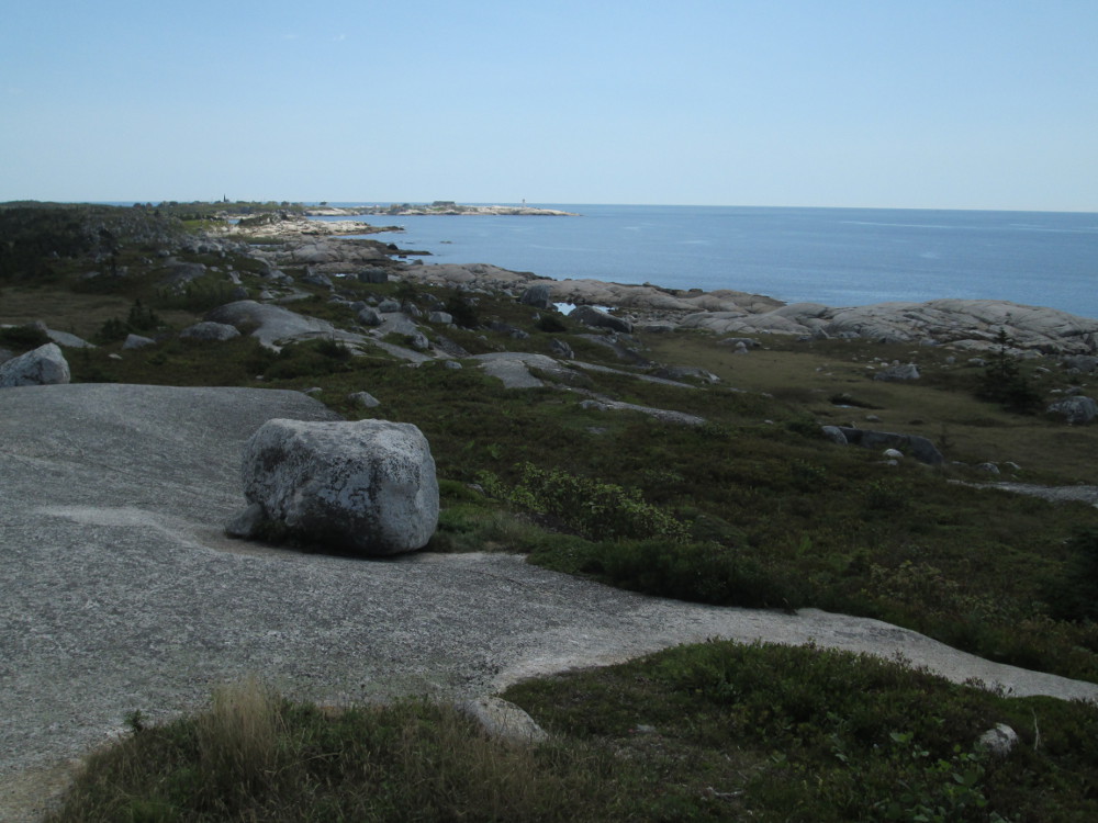
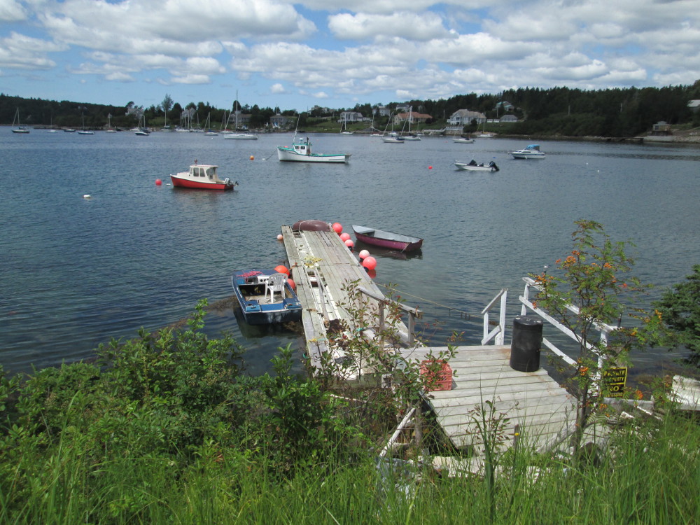
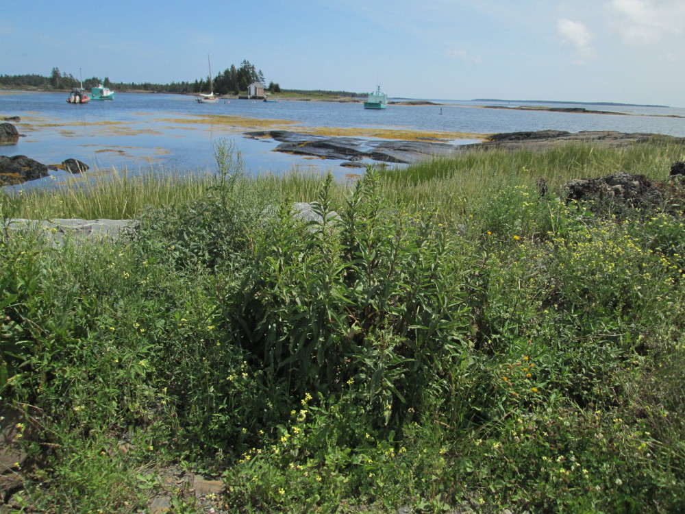
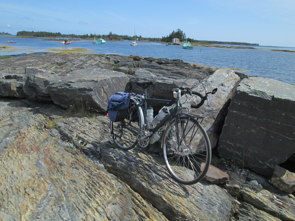
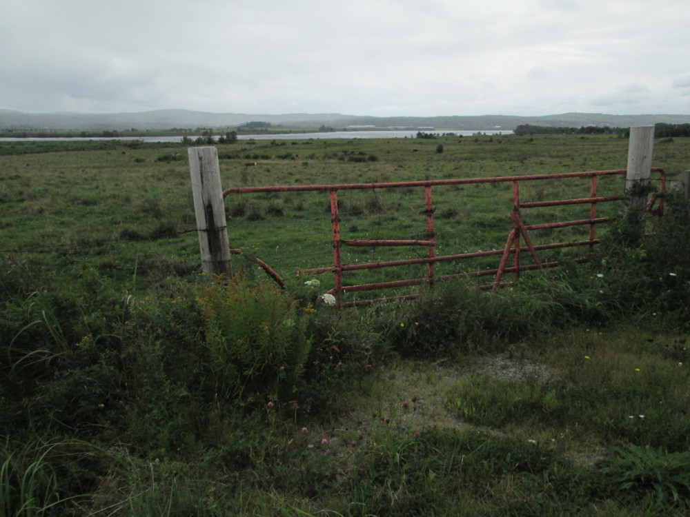
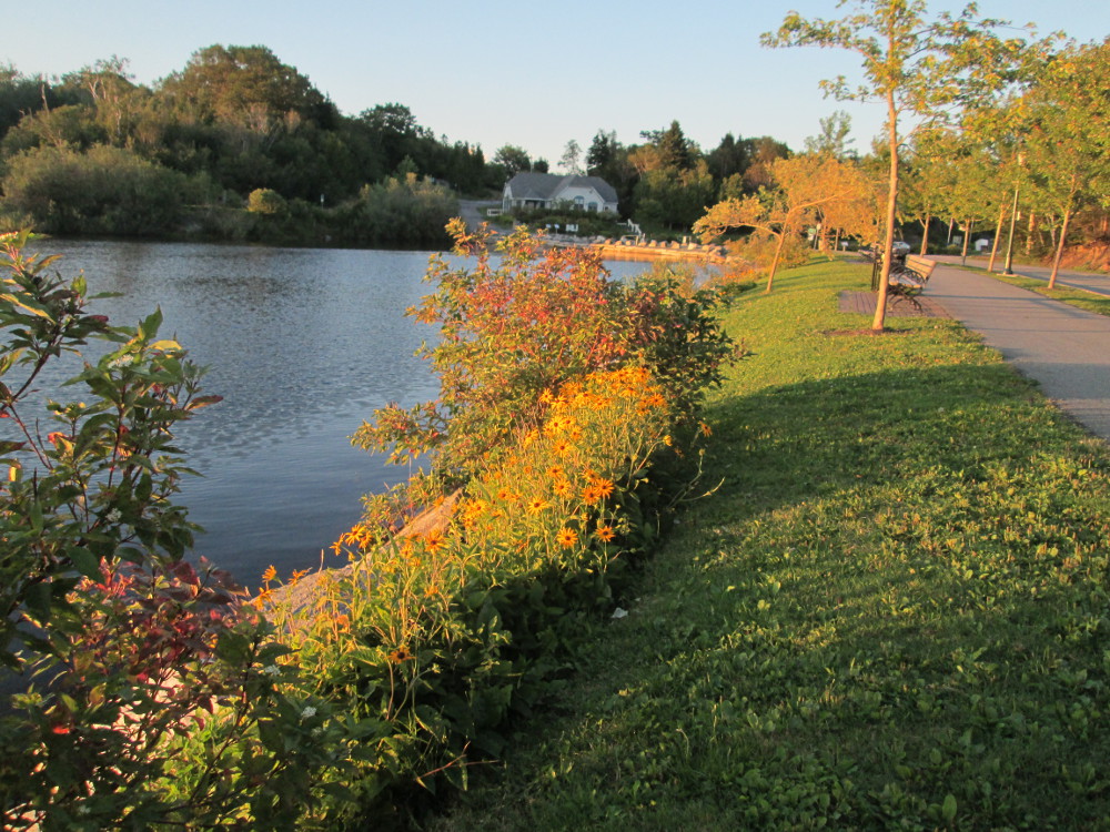
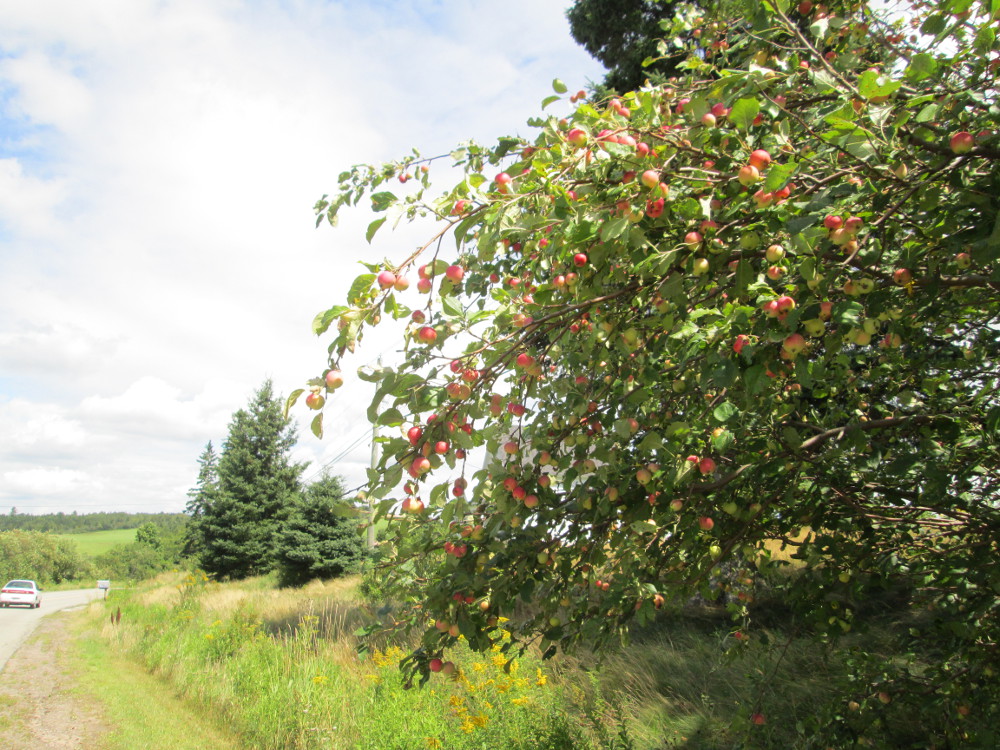
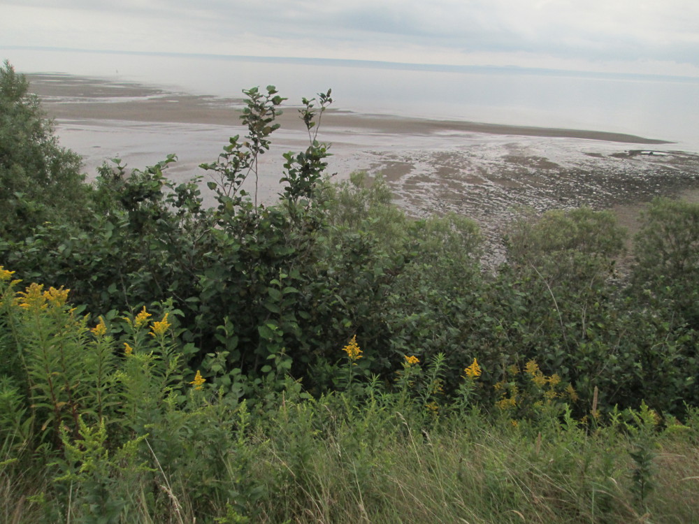
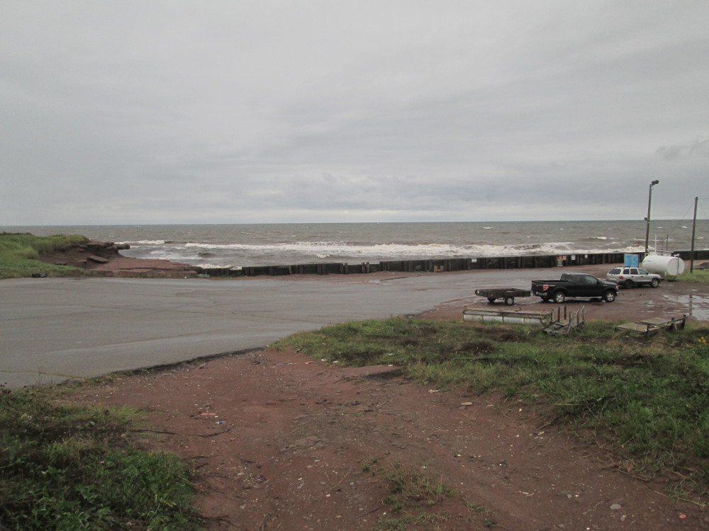
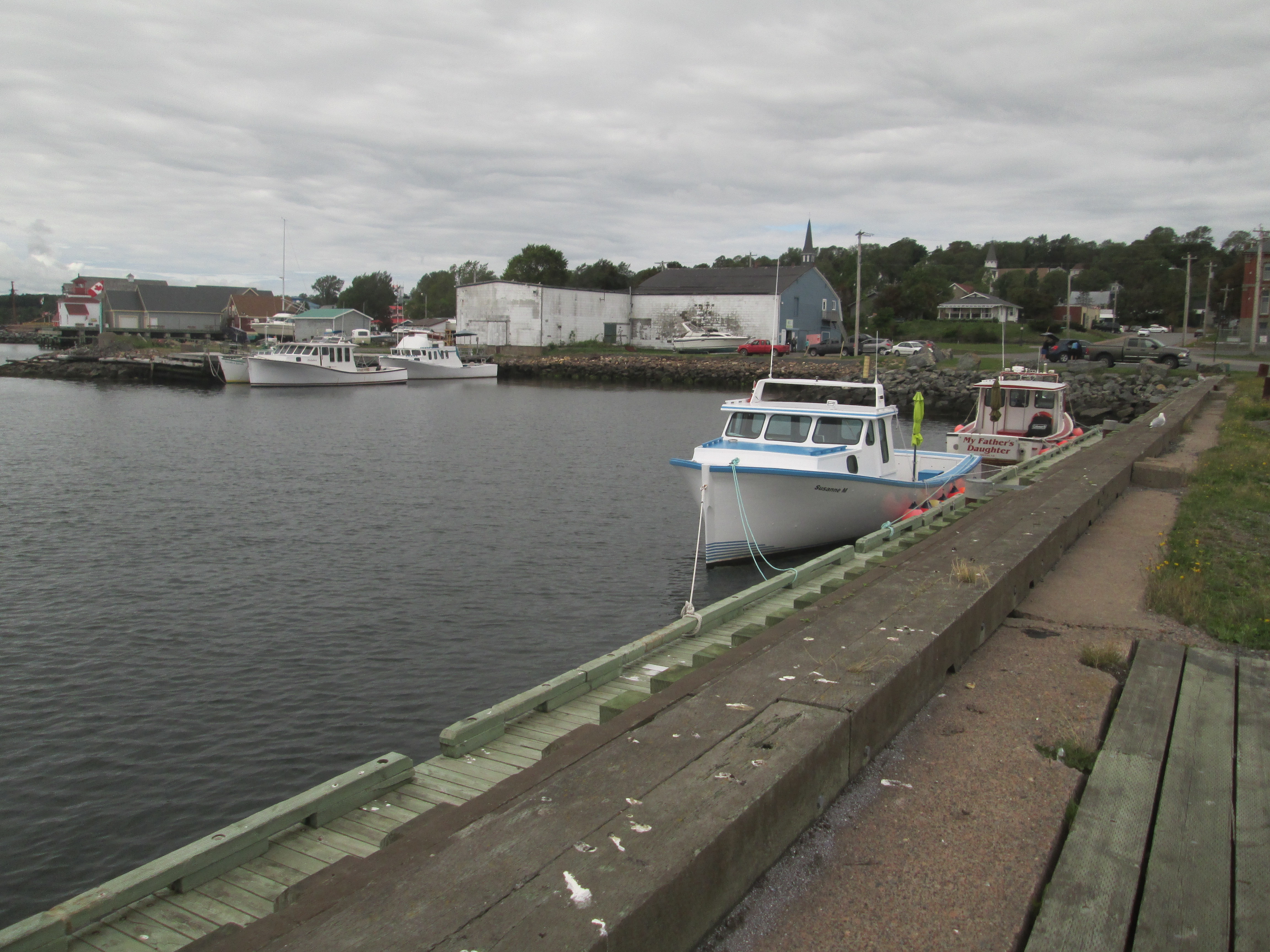
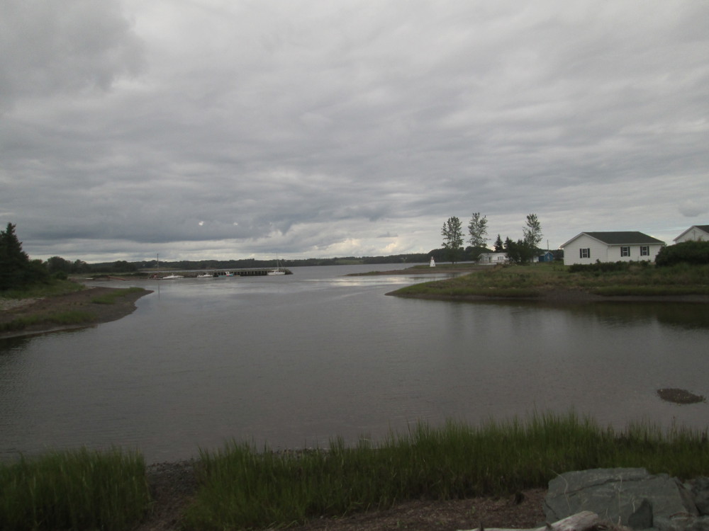
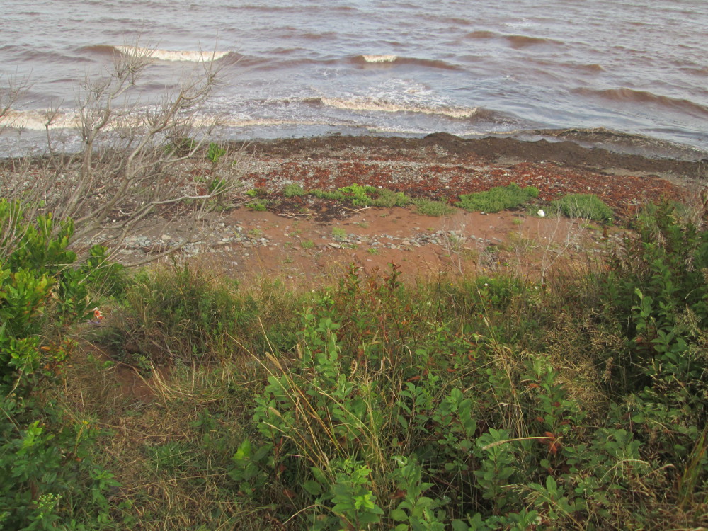
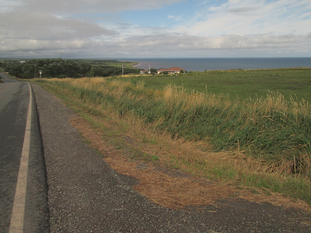
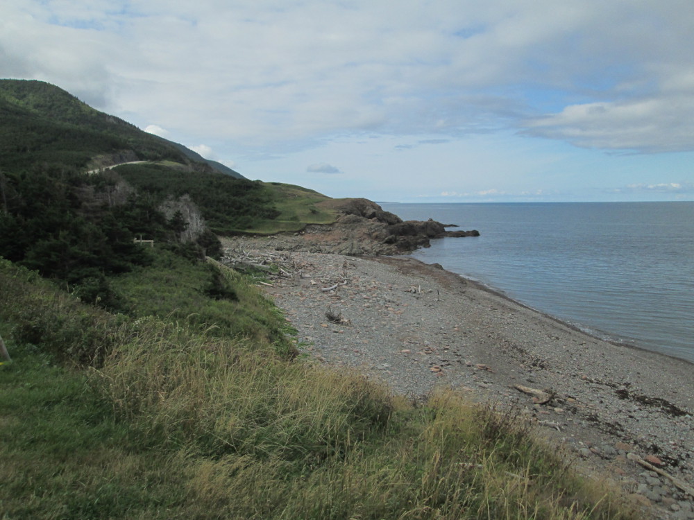
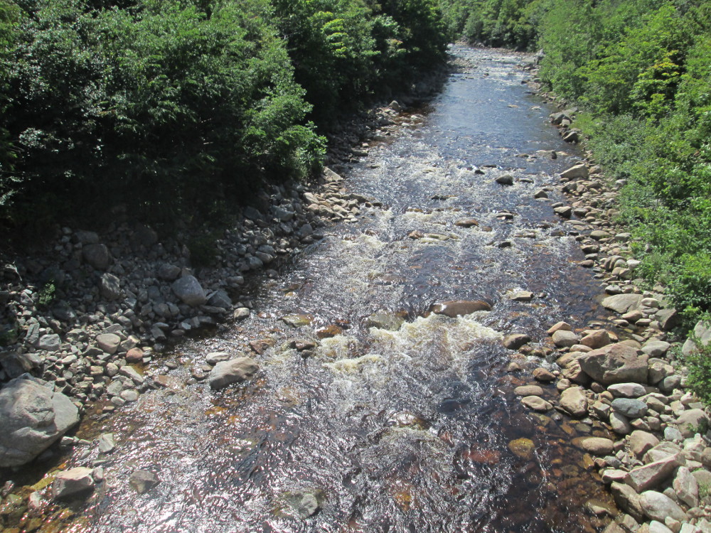
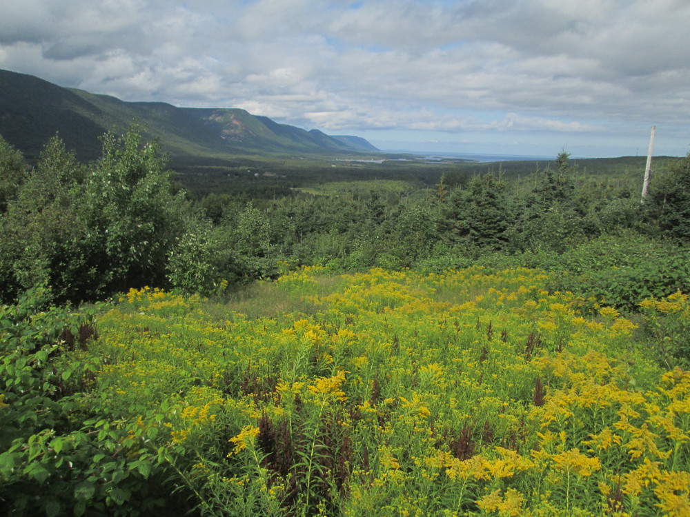
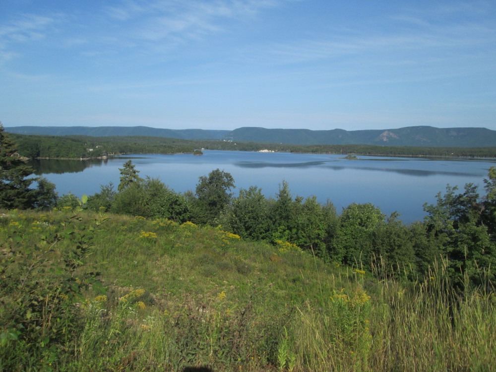
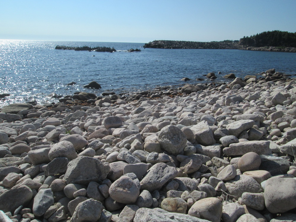
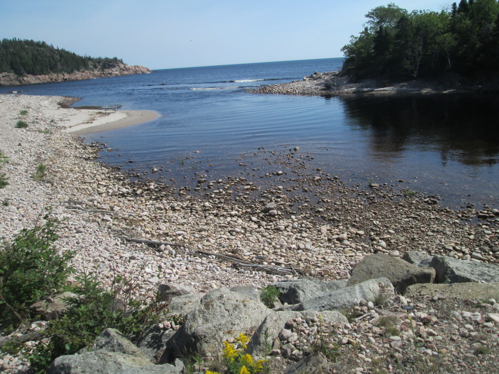
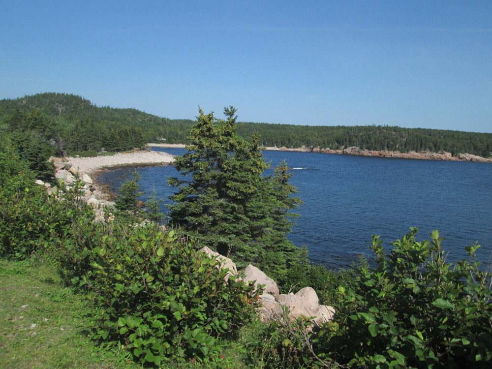
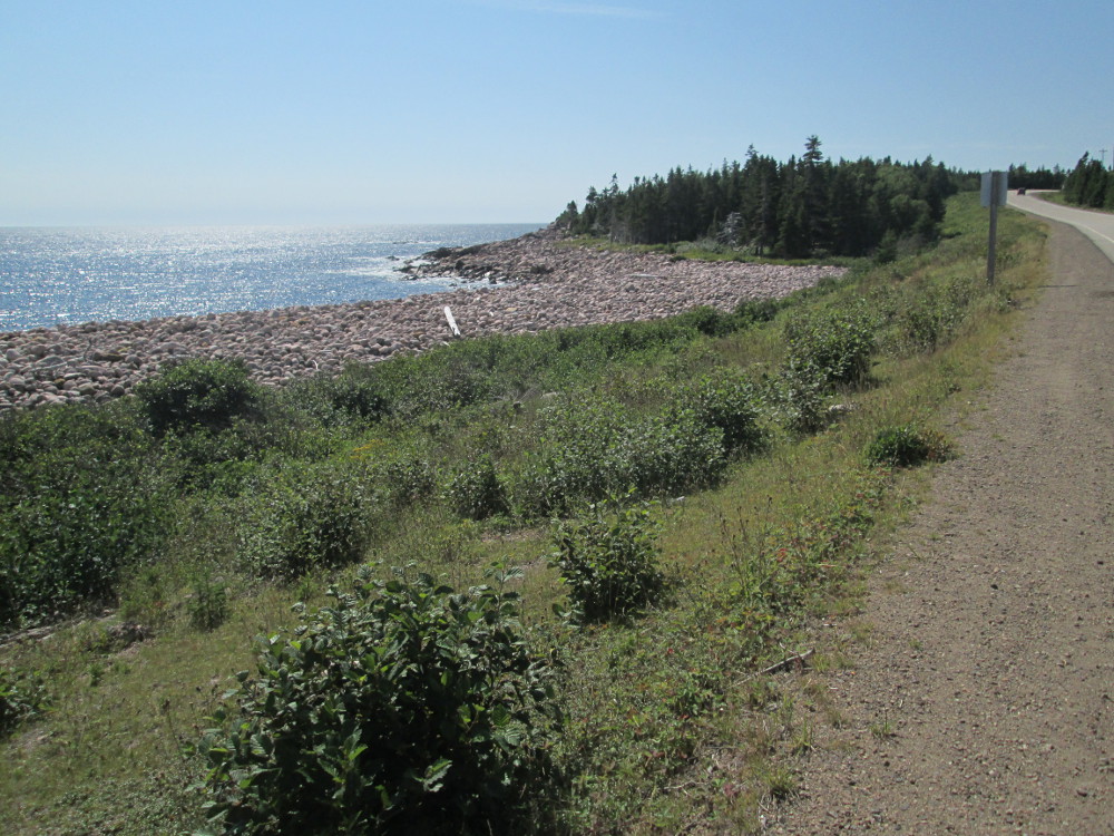
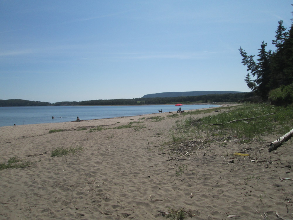
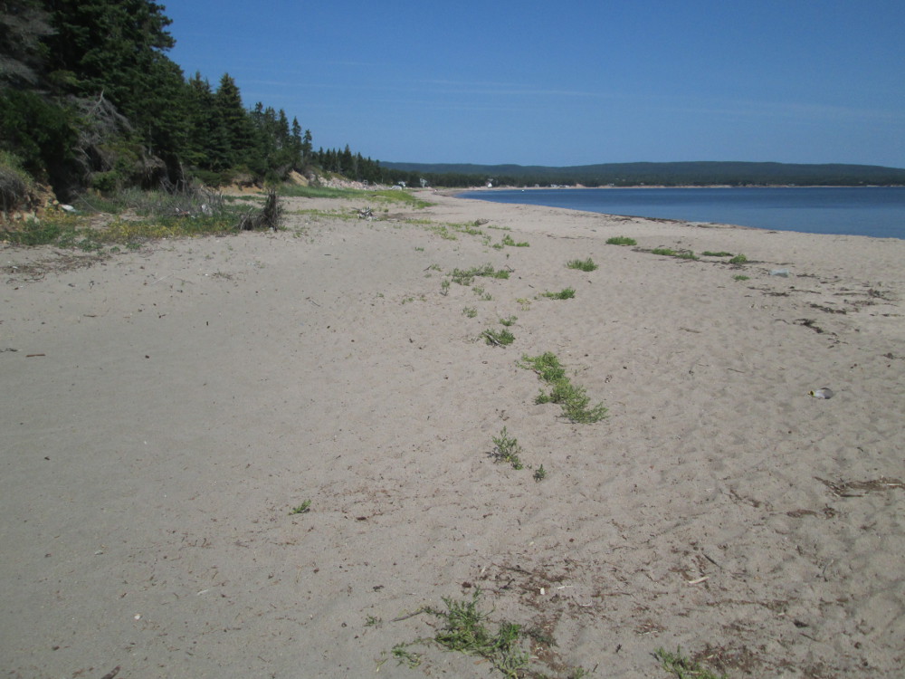
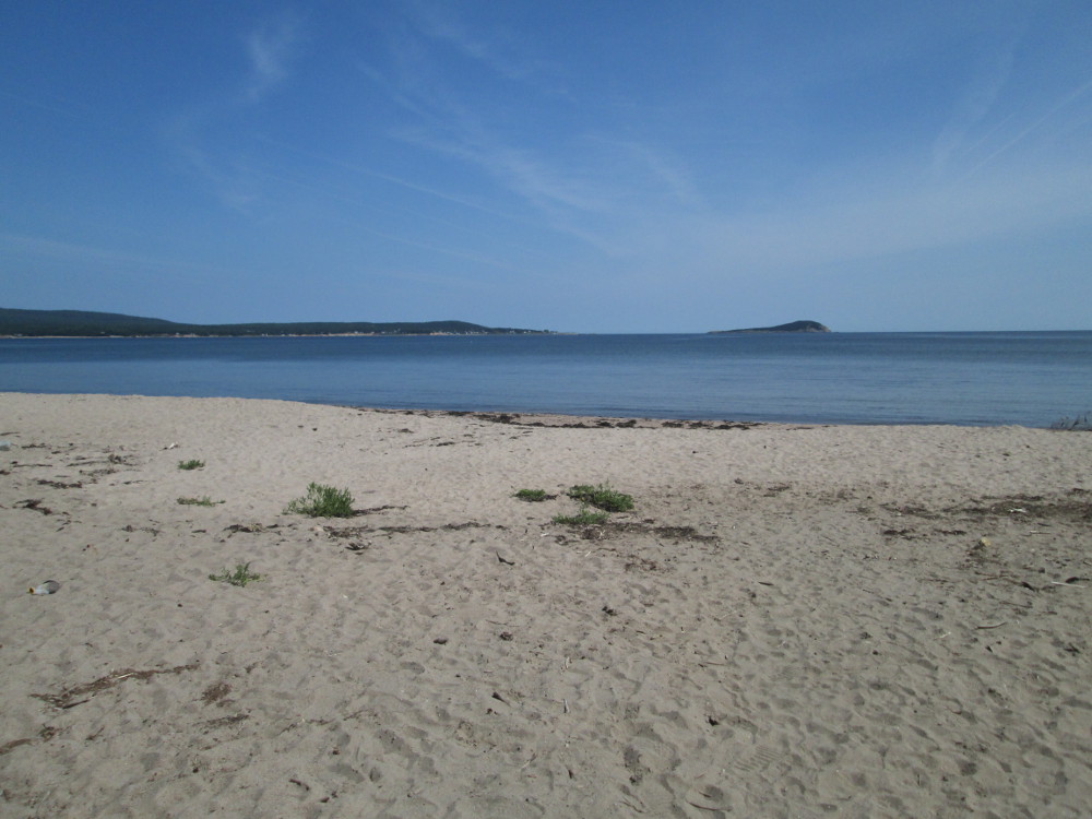
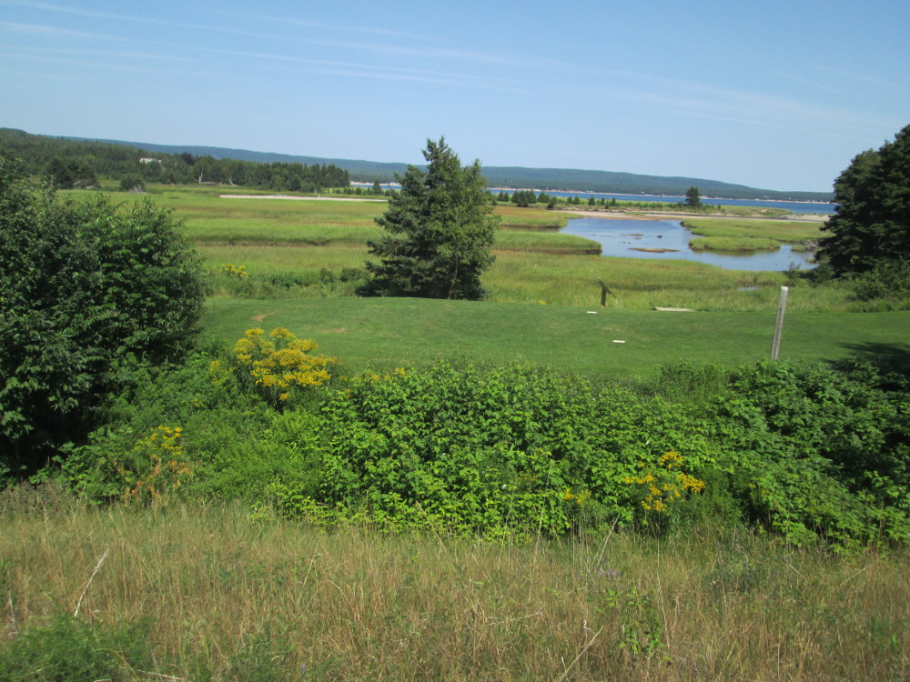
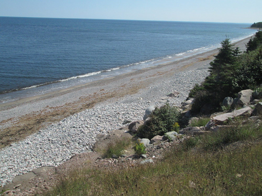
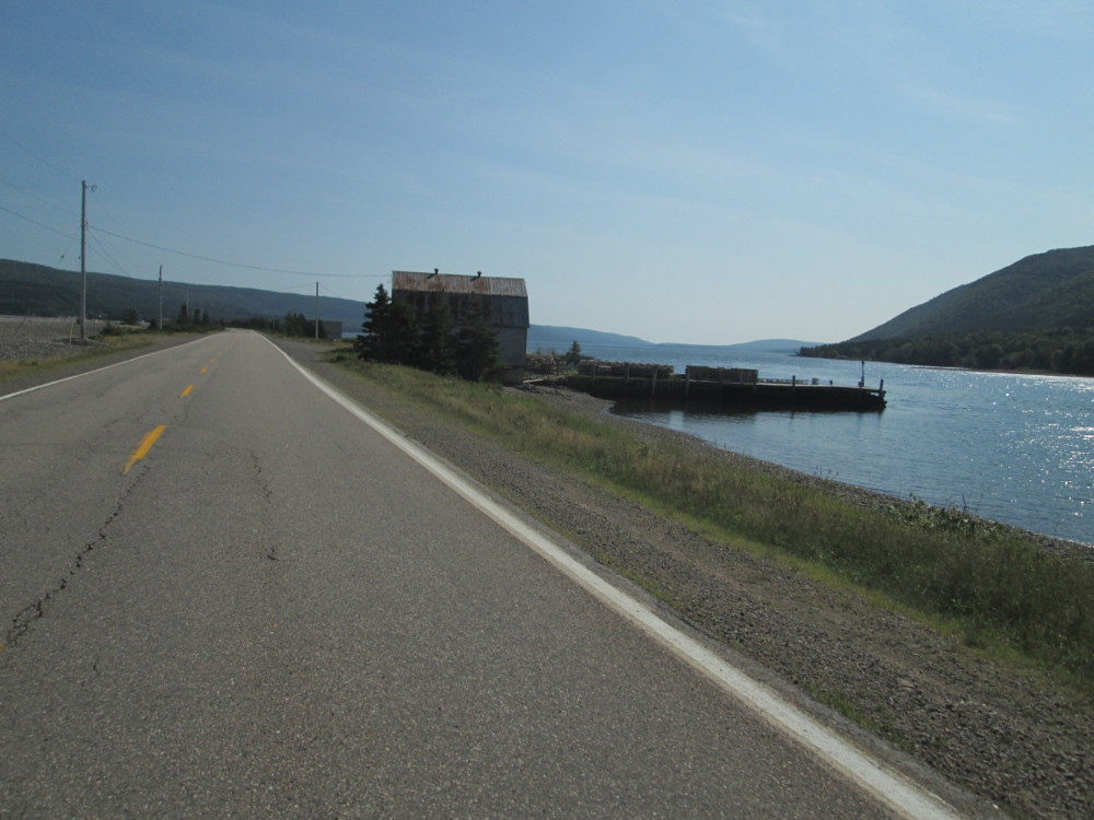
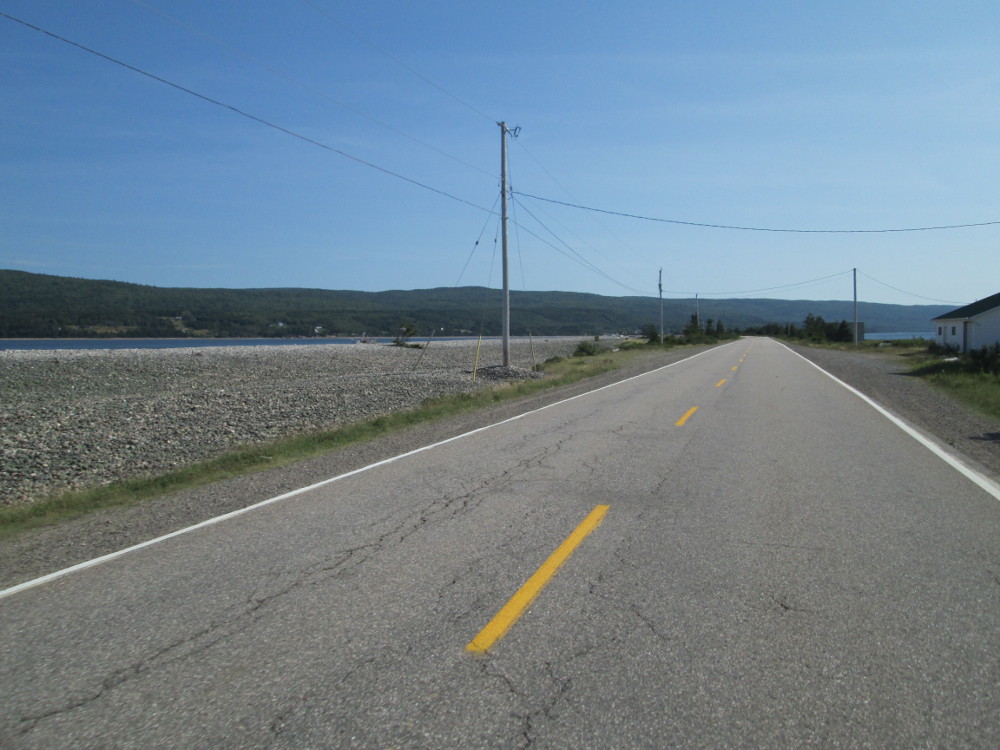
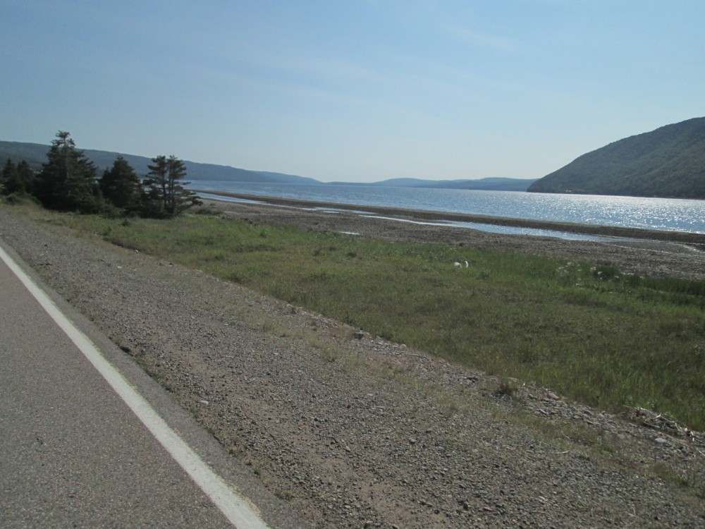
Today's campground is at Graves Island Provincial Park. There are many picturesque beaches and towns along the route. There are so many scenic sites that it's hard to watch the road. Luckily the traffic is relatively low once we're past Peggy's Cove, and particularly on Road 329 to Bayswater. Here I show a couple of pictures of typical views. There are just too many to show them all.
|
|
|
The route:Our trip going east on the south coast of Nova Scotia continues for the first half of today all the way to Lunenburg. After this, we point our front wheels north and inland to cross Nova Scotia on a route toward Digby, on the coast of the Bay of Fundy.
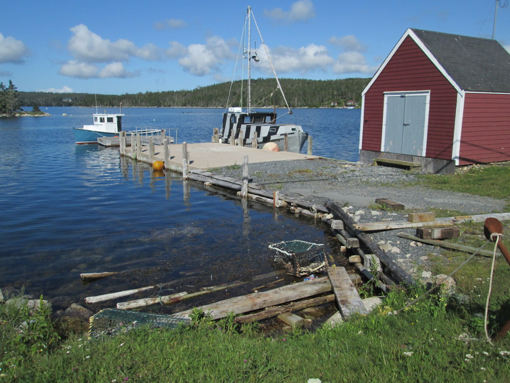
The big event today is visiting Lunenburg and the nearby Blue Rocks. First the route follows the sea-shore and goes through a number of smaller places. Shortly after I leave camp, I take a side-trip through Chester. There, I get talking to another cyclist who I saw leaving the campground earlier. He shows me all the great roads of Chester on his favorite route that he takes whenever he visits. He is here right now from his residence in Charlottetown PEI, to crew on a boat in the sailing races in Chester Race Week. With his help, I see all of Chester very quickly. The Cycle Canada truck flies past me as I leave Chester and get back on the tour's main route on Highway 3.
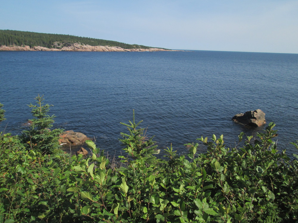
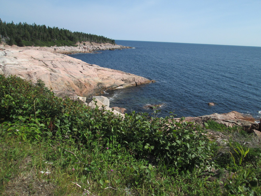
As yesterday, there are many scenic spots, both of the seashore and the buildings in the towns. It take lots of pictures.
|
|
|
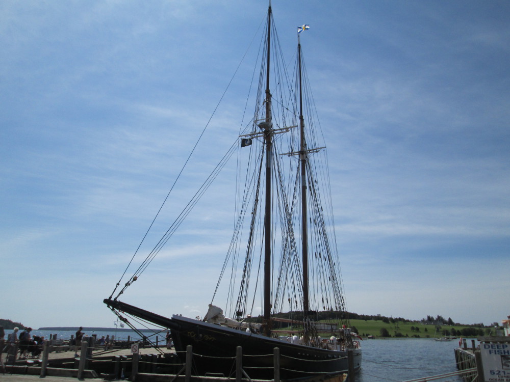
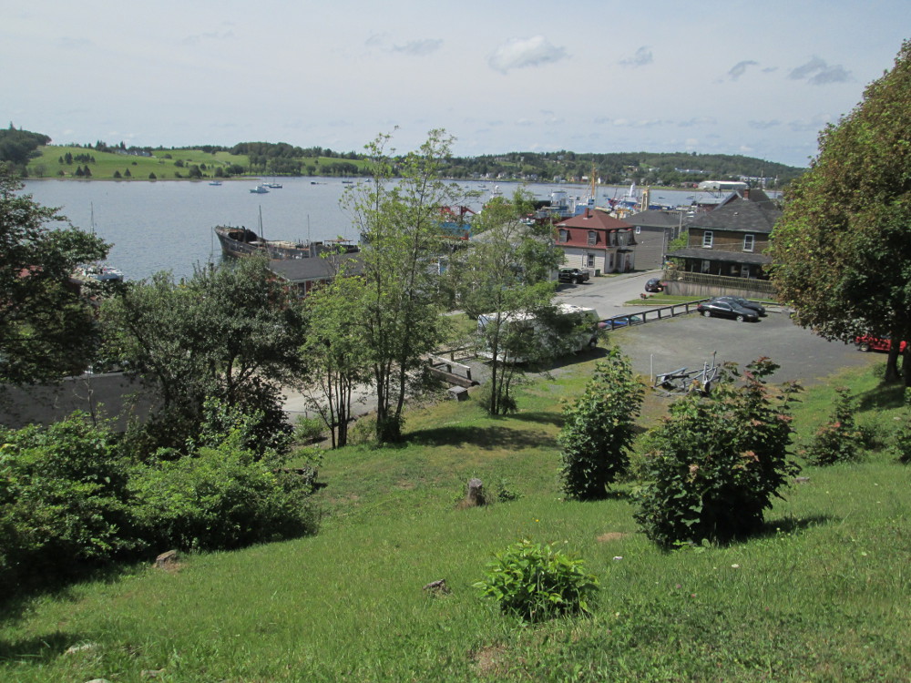
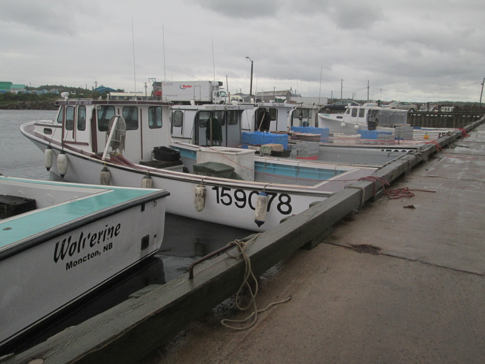
Today's big stop is in Lunenburg. The town started as a fishing and farming community, and now is oriented to tourism including galleries of lots of local artists. I stop at a cemetery and a community park, before arriving at the wharf where many of the large sailing ships that make Lunenburg famous are docked. Lunenburg is particularly noted for having boats modelled after the fishing schooners built in the 1920s. The most famous ship is the Bluenose. There are a few people, but not too many so it pays to wait around for a clear picture of the Bluenose 2. It takes a few tries to get a picture that shows all the masts that hold the sails. They sure go up high.
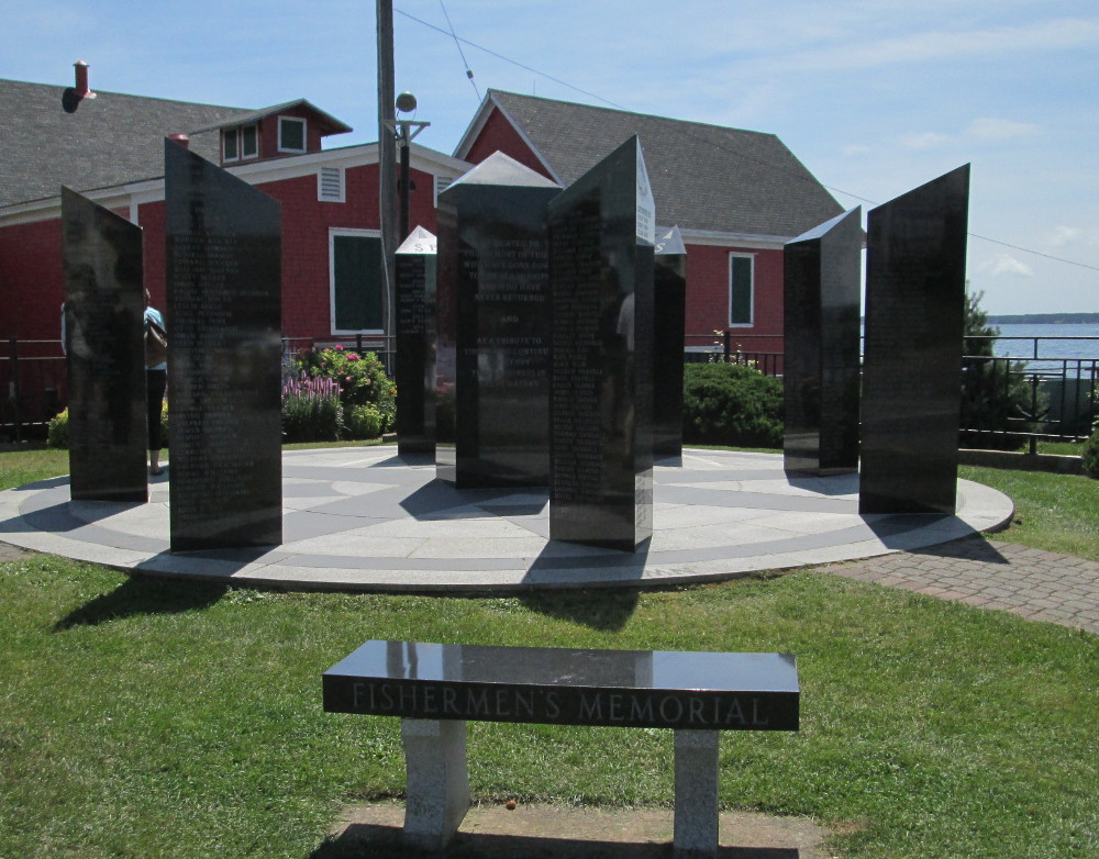
Near the Bluenose 2 is the Fishermens' Memorial. The monument is shaped like a compass. Again, it takes awhile for the crowds to clear so I can get a good picture. After this, I wander around town to some other local parks and monuments where there are very few people. On my way out of town, I discover that Lunenburg is more than just a historic site. I wander around on side streets and find a large recreation centre, pool, modern high school, large athletic park, and town auditorium.
|
|
|
|
|
|
On the other side of Lunenburg, I take Blue Rocks Road to Blue Rocks, a side-trip indicated on today's Cycle Canada map. Blue Rocks was for many years a fishing village, and is currently an artists colony and known for great kayaking. I see some kayakers amongst the islands close to shore.
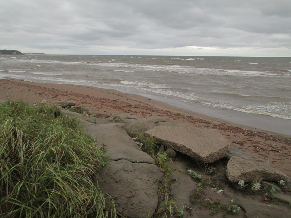
The rocks are quite different in Blue Rocks than elsewhere along the coast. Most of the coast has white rocks. In Blue Rocks there are black rocks that have well defined seams. I'm later told that these rocks are the only part of Canada that is part of the ancient African continent. They chose to stay with Canada when the continents split many 100s of millions of years ago.
|
|
|
Up to Lunenburg there were some small hills; afterwards, the real hills begin when I head out on route 324 to Newburne. The traffic is heavy at first, and clears after the road goes over Highway 103.
“Did I go to far?” I mutter to myself. At the 90 km I think I've gone far enough so I get out the Cycle Canada instructions and wonder. I look for someone to ask and help me resolve my dilemma. After going a few more km, I see a man stopped at the top of a hill by a lake, and a woman in the garden of the mansion just a bit down a short driveway. First, I ask the man about the location of Newburne Road. He's quite knowledgeable, having lived here the 20 years since he retired. He reassures us, myself and Denise, that Newburne road is just a little farther, perhaps at 5 km, where the road splits.
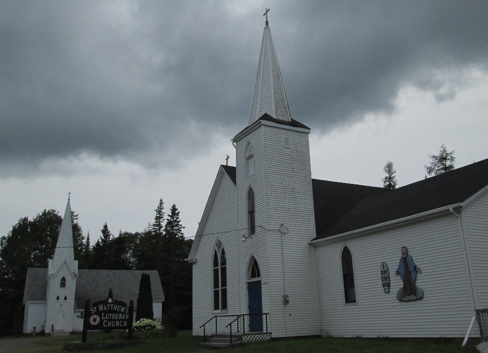
We do find the split in the road, and go to the right as the man said. Then, after a bit there are 2 white churches at the side of the road, an Anglican and a Lutheran; the man told us that the 1st church, the Anglican, was designed by a William Critchlow Harris who was a famous architect, at least locally, from around 1900. As it is, this church does not have a sign out front, but does still have a cross on top. I stop and take pictures of both churches individually, and then both together.
I do not see a town sign for Newburne, but know I'm here since the 2 churches are in Newburne. A kilometre or 2 later is a huge sign for Lahave River Campground. Even so, I go down the next, long hill after the campground as the campground road is just an alleyway. I get to climb one more hill today than the other cyclists!
|
|
|
|
|
|
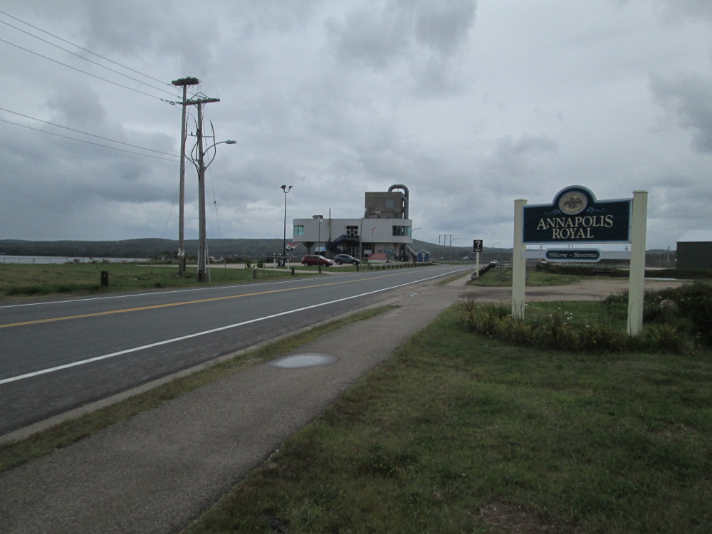
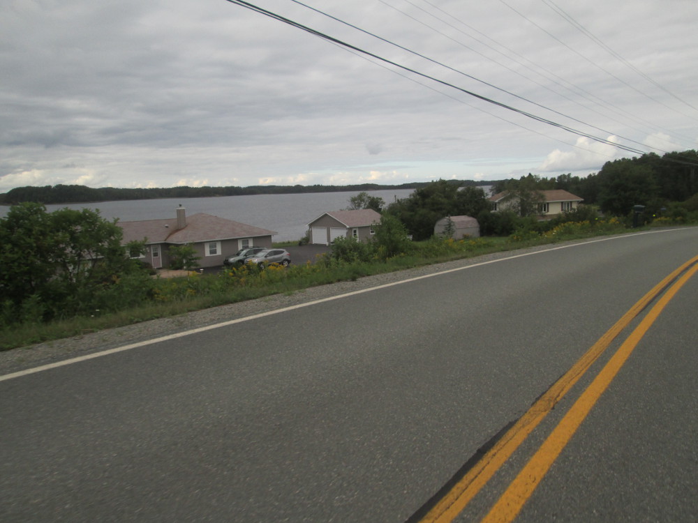
The route: Our voyage north across eastern Nova Scotia continues today until we arrive in the Annapolis Valley. The Valley is flatter. We follow it westward to Annapolis Royal and Digby.
The weather is fine most of the day with sun and clouds after morning dampness clears up, but pouring rain starts after Annapolis Royal and continues all the way to Digby. It comes in waves, appearing at times to be backing off, only to start intensively a few minutes later.
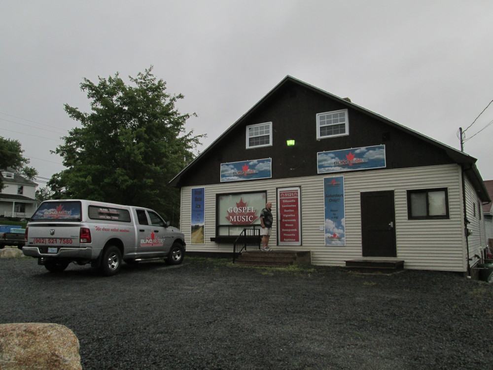
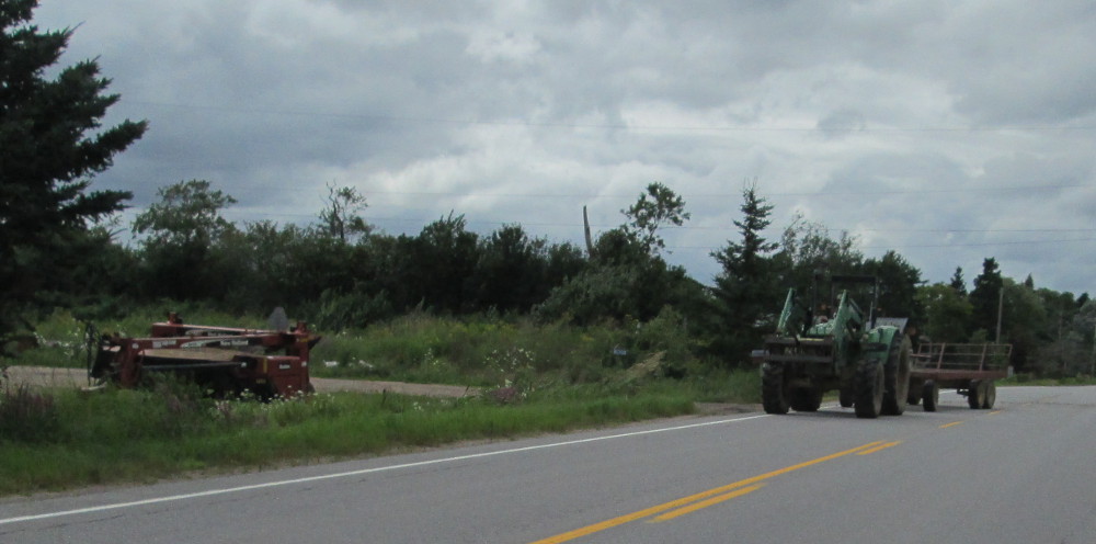
Today's ride starts still with more big hills, but about mid-day it hits the Annapolis Valley that is quite flat. Early on, in New Germany, I talk to the owner of a store that is selling Gospel Music and interior window coverings. This combination of products for sale is so unique that I take a picture of him and the store, and another picture of his truck that shows a person sneaking a look outside. The owner thought it was all quite funny and clever. He claimed to be currently training someone else to be like the person who is peeking outside. Or, was it his visage looking out of the truck as well as speaking to me?
|
|
|
|
|
|
|
|
|
Today's big themes are the Annapolis Valley and tidal power generation.
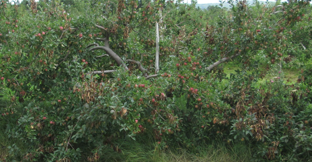
About mid-day, the ride becomes much flatter when I get to the fertile Annapolis Valley. I decide to follow Route #1 and see the main valley towns of Lawrencetown, Paradise, and Bridgetown and points in between. The first settlers in this area arrived over 2 centuries ago, and some over 3. Lawrencetown was settled in 1760 and is named after Nova Scotia governor Charles Lawrence.
Bridgetown is older and has the most old houses today. There were at least ten Acadian settlers in the Bridgetown area for the French census of 1671. British settlement commenced in the 1760s, after the Acadians were expelled from Nova Scotia in 1755. Bridgetown was named by a huge gathering of townsfolk in 1824. Unlike most Nova Scotia towns, Bridgetown developed with a town plan due to the work of Captain John Crosskill who owned or controlled the central part of the Town.
After Lawrencetown, Paradise, and Bridgetown, is a causeway to Annapolis Royal. In the middle of the causeway is the tidal powered Annapolis Royal Generating Station.
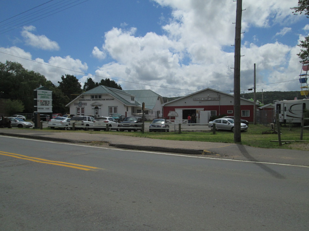
The Annapolis Valley Exhibition is in progress in Lawrencetown. It's a traditional farm fair with cattle and other animals featured along with farm equipment and country music.
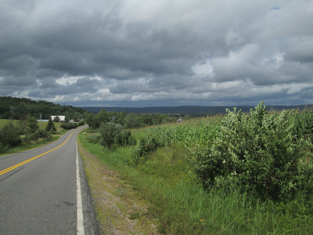
I observe a major change in vegetation when I arrive in the Annapolis Valley. There's forestry before and farming in the valley. The valley is much more fertile.
|
|
|
|
|
I notice a local bus every 30 minutes or hour, with a bicycle rack on front. Later I see on the internet that this is Www.kingstransit.ns.ca . Am I tempted to take the bus? Not today. There's a tail wind blowing me down the valley most of the time.
|
|
|
|
|
|
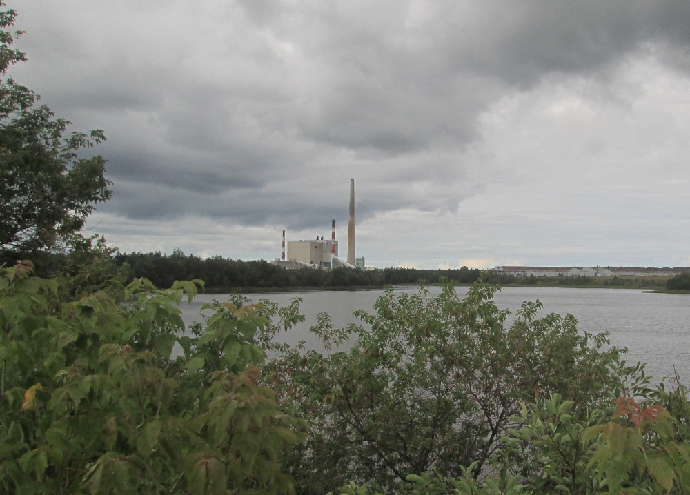
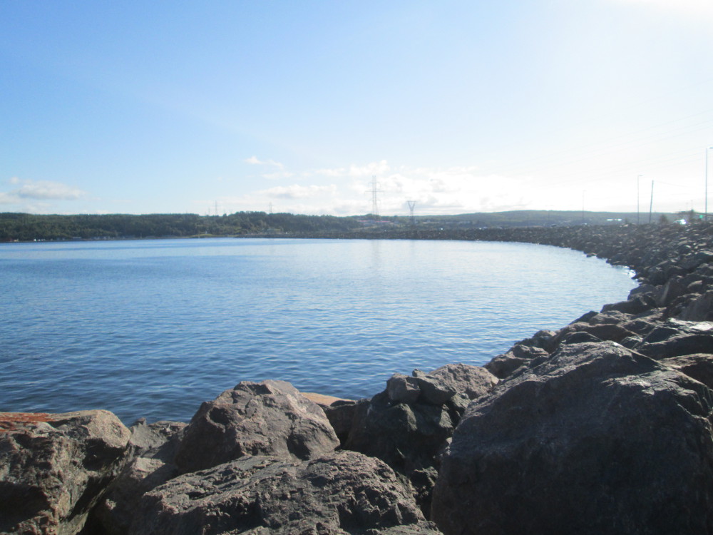
I visit the information centre of the 20 megawatt tidal power plant on the causeway just before Annapolis Royal. This Annapolis Royal Generating Station is the only tidal generating station in North America.
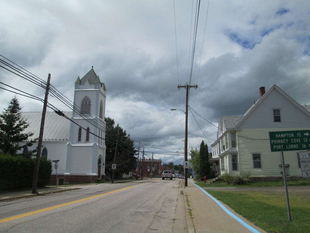
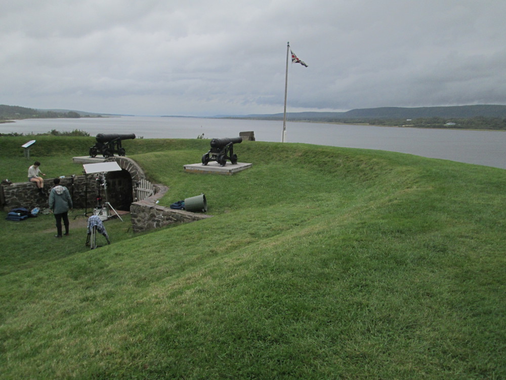
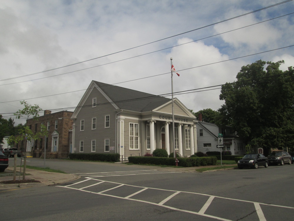
After leaving the causeway that contains the tidal power plant, I'm in Annapolis Royal. I wander through the half km of downtown taking pictures of buildings and then walk around on the ramparts of the historic site of Fort Anne that are so close as to be almost part of the town of Annapolis Royal. Fort Anne is Canada's 1st declared historic site. The current earth works of Fort Anne were begun by the French in 1702. The geographic area near by was desired by both the French and English in historic times. The history of wars between Britain and France over this part of the world, is well documented in Wikipedia - http://en.wikipedia.org/wiki/Annapolis_Royal .
In brief, the names Fort Anne and Annapolis Royal were established by the British crown in 1710 after the last time that the area was captured by the English from the French. The names of Fort Anne and Annapolis Royal are in honour of Queen Ann, the reigning English monarch at the time.
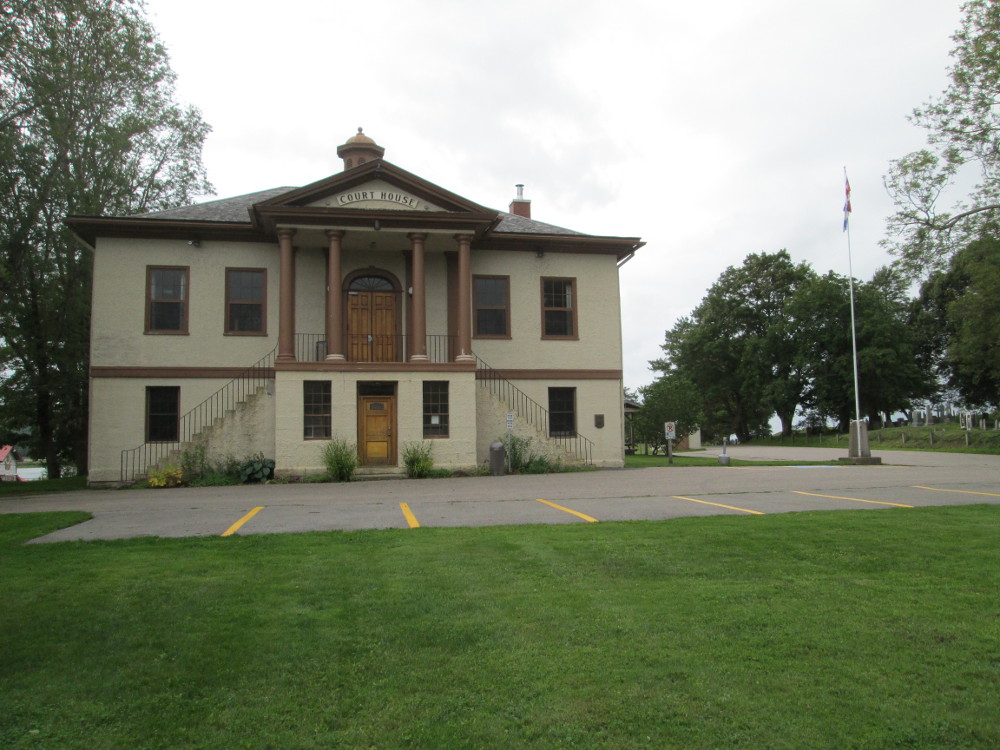
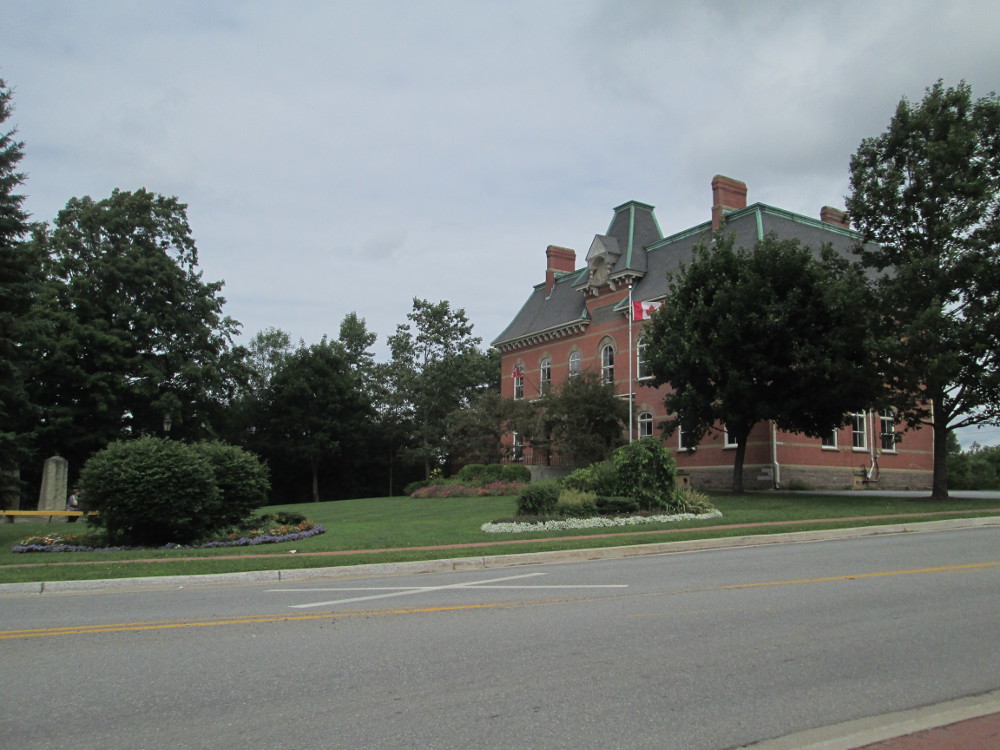
There is great heritage value of in the Courthouse in Annapolis Royal so I took it's picture.
“Annapolis Royal is reported in 1721 to have hosted the first sitting of the Court of Judicature to administer the common law of England within what is now Canada. The present Annapolis County Court House, built in 1837, is valued for its continuing function as a courthouse and jail, the oldest such building in Nova Scotia and one of the oldest in Canada. It is also associated with popular accounts of public hangings and floggings on the Court grounds.
“Designed by magistrates of the County’s Grand Jury and built by master builder Francis LeCain in 1836-1837, the Annapolis County Court House replaces an earlier (1793) wood frame court house and gaol that stood on the same site and burned in 1836. It is also significant because it embodies the pure symmetry, horizontality and Classical Revival detailing of the Palladian Style. A major renovation was undertaken and a rear addition built in 1922-1923, to the design of the prominent Nova Scotia architect Leslie R. Fairn. At this time the octagonal cupola at the roof crest and the first storey stucco cladding were added.
I leave Annapolis Royal and Fort Anne in pouring rain that continues, off and on, until I reach Digby. I try to find Digby Campground in the pouring rain, but, somehow, bicycle by it and ride all the way to the ferry that we're taking in the morning. That's 5 km each way to give today's total of a CENTURY ride, 160 km. I make out the Cycle Canada truck through the rain, up on a hill, by a major intersection, when returning from the ferry and assume it's in the Digby Campground and head in that direction, arriving there at 6:30 pm. Missing this turn is due to adverse conditions. This is quite the opposite of a turn that I missed earlier in the day at 65 km. I liked the new pavement so much that I went 70 km on it before checking the route map ... and, had to go back 5 km to the 65 km point and take that left-turn. Ah, a day-of-missed-turns, eh?
|
|
|
|
|
|
|
|
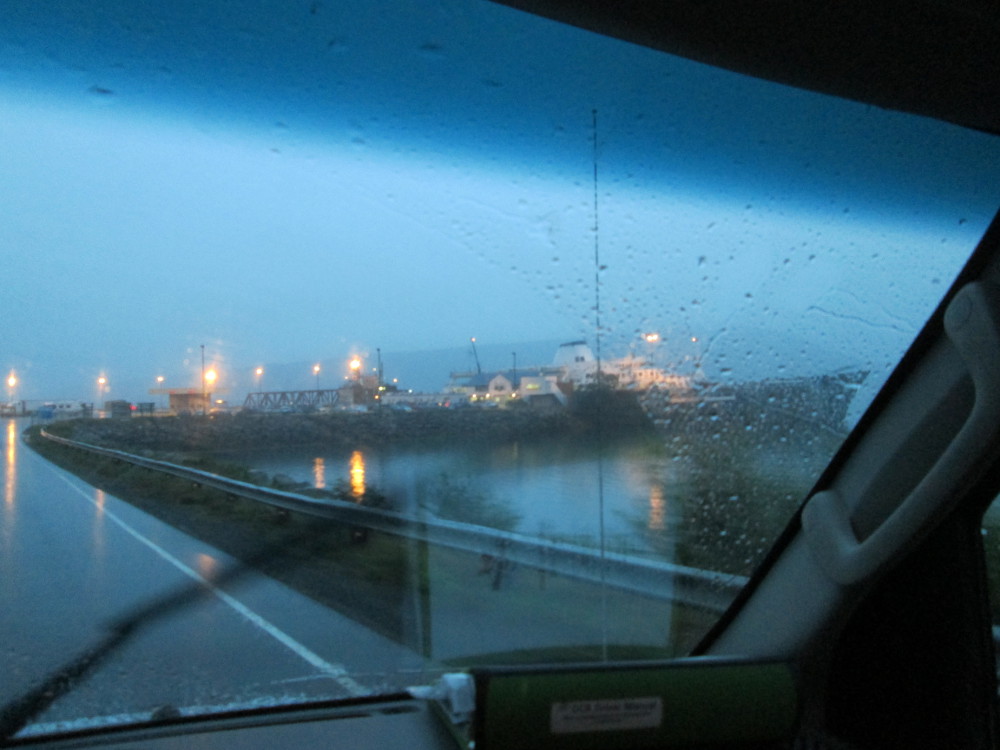
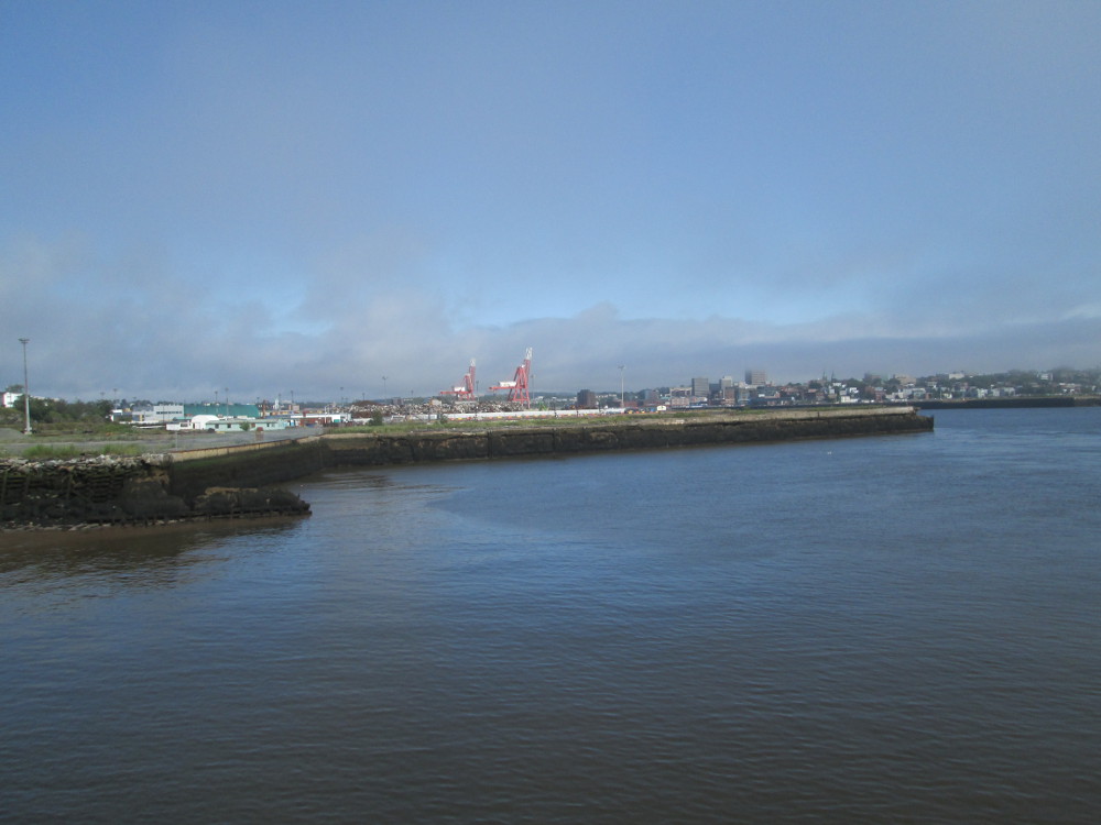
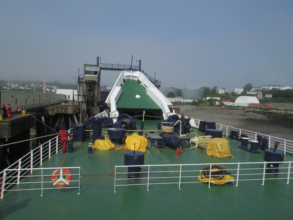
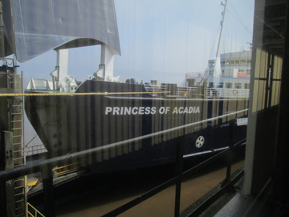
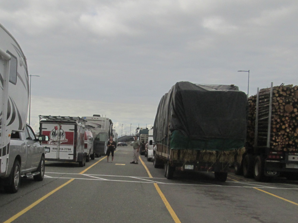
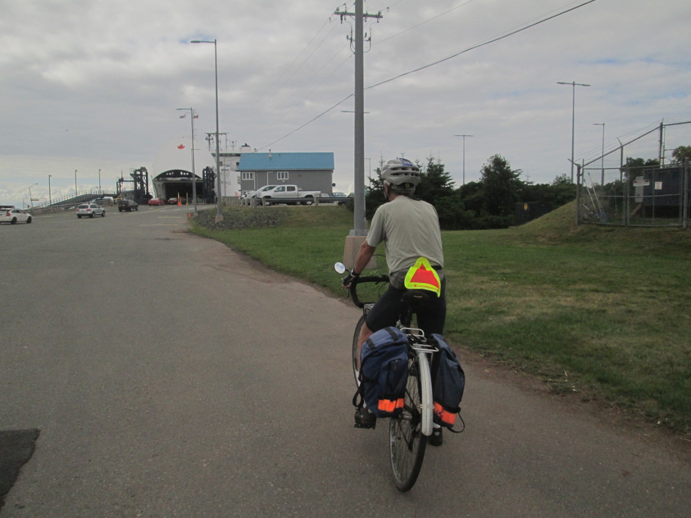
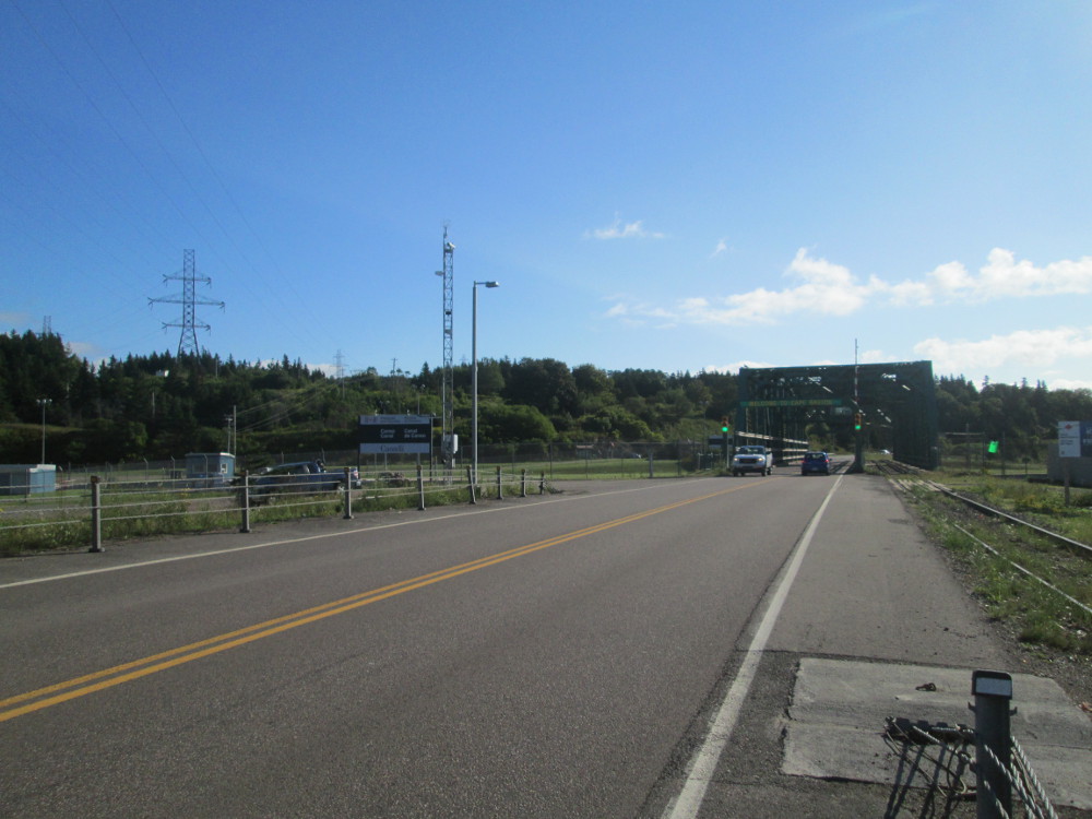
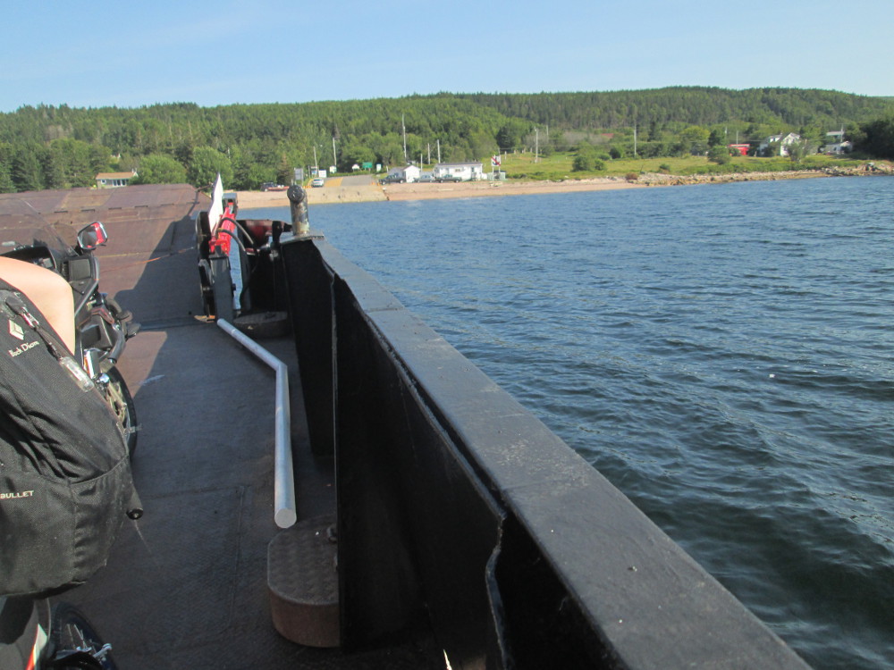
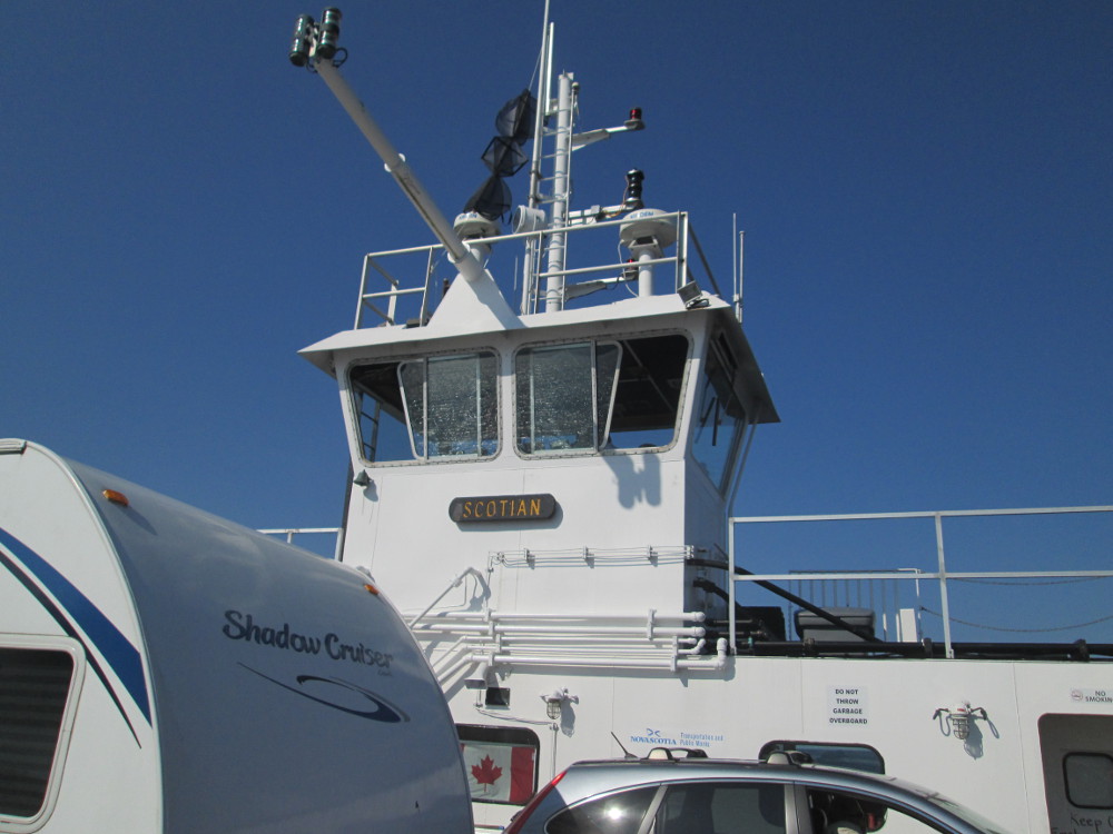
The route:Today is a rest day in St John, New Brunswick after taking the ferry MV Princess of Acadia across the Bay of Fundy from Digby, Nova Scotia.
First thing in the morning, before breakfast, I ride the 10 km to the ferry in Digby in the Cycle Canada truck with Chris and Tara. Cycle Canada does provide some breakfast provisions while we're waiting for the ferry. I ride in truck to save room in the taxi that takes the other riders. I get a good view of the road from the truck on this rainy morning. Will I get to ride the truck again this trip? We'll see, eh?
It is raining heavily in the morning in Digby. Luckily, the rain stops by the time the ferry gets to St John. It's a nice day in St John: sunny, warm, a few clouds.
There are lots of cadets on the ferry who are returning from summer camp. They're on a different level of the boat.
|
|
|
|
|
|
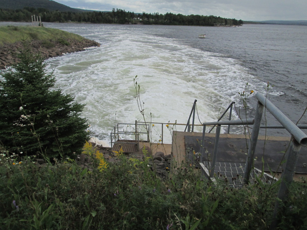
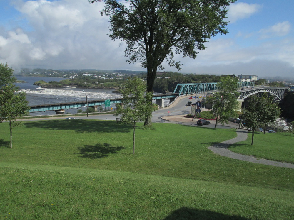
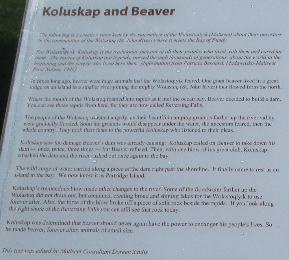
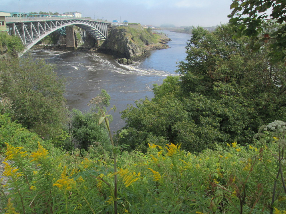
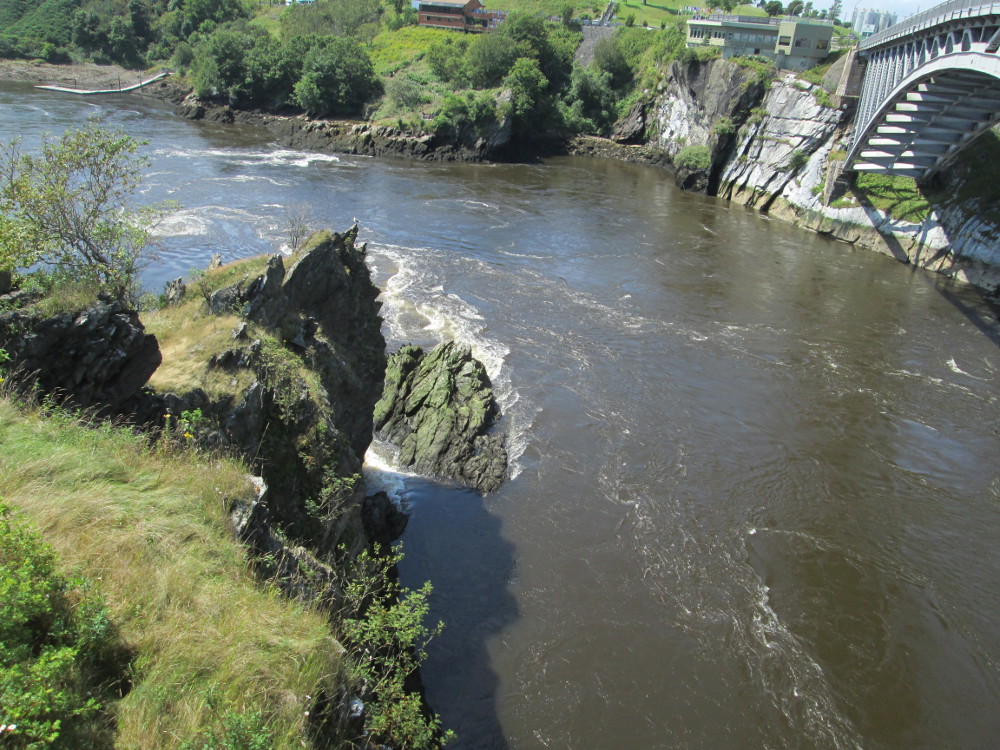
A big feature today is seeing and watching the Reversing Falls. These are rapids in the St John River that flow toward the sea at low tide, and reverse and flow inland at high tide. This area is so hazardous that boats wishing to go up the St John River must wait for the slack tide that occurs twice a day.
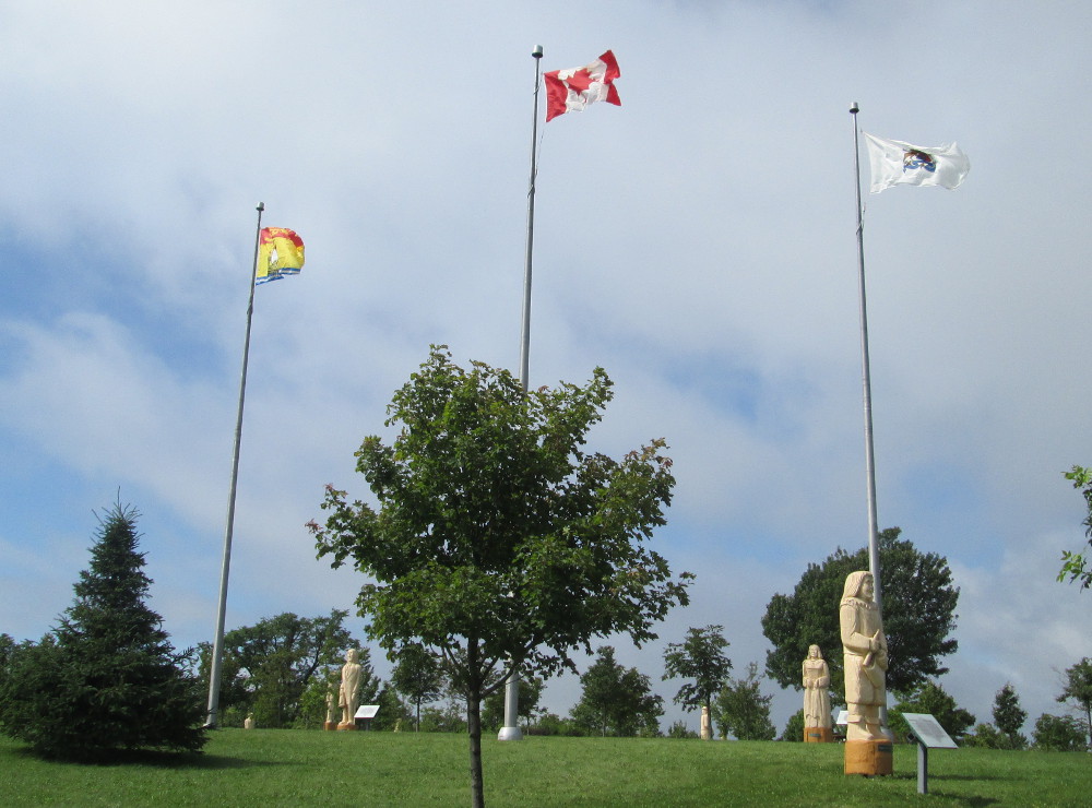
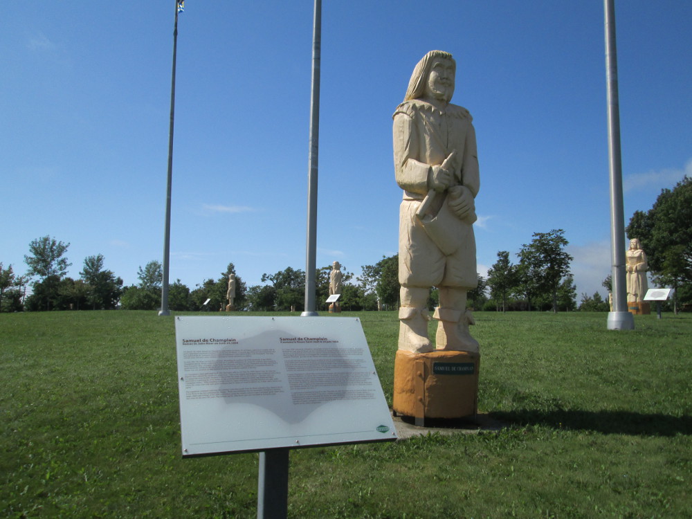
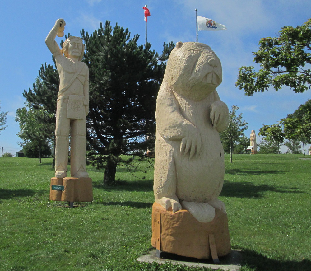
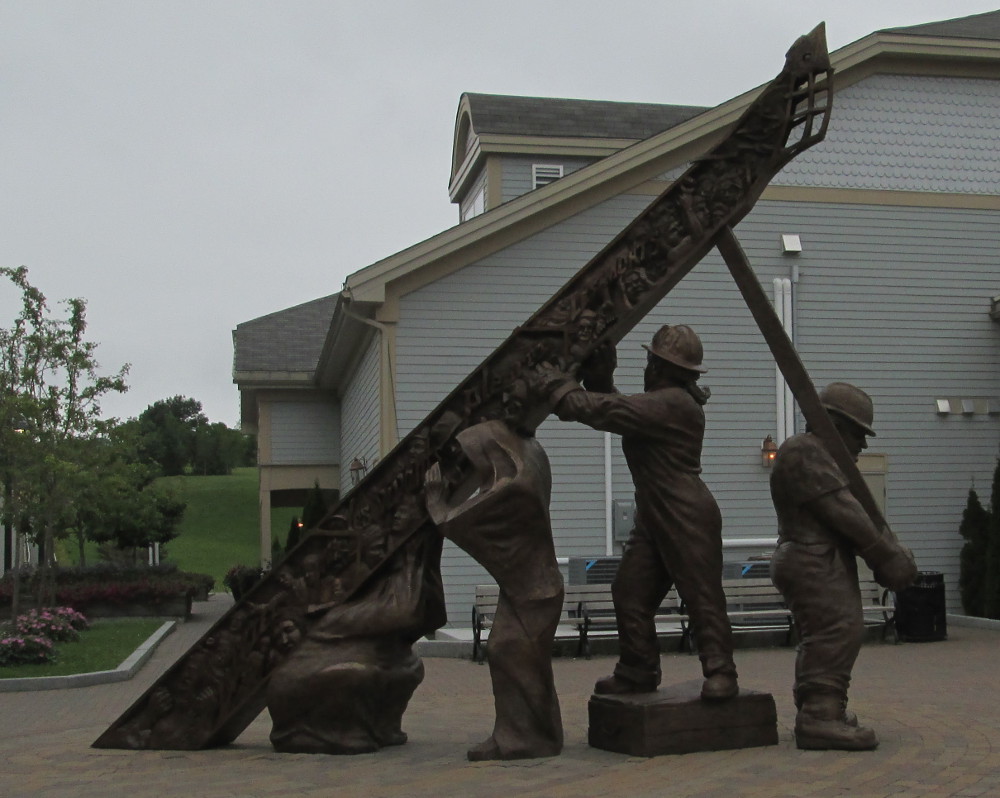
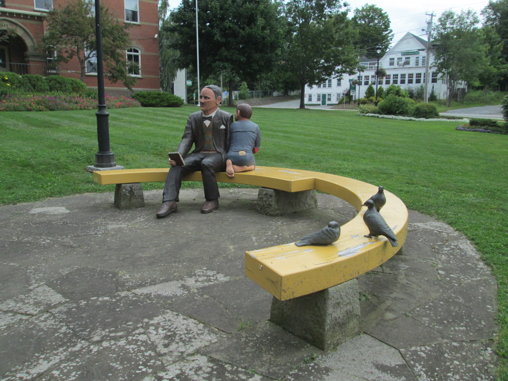
Just beside the Falls is stop at Wolastoq Park that is on the site of a former lunatic asylum, Canada's oldest mental hospital, that was demolished in the 1990s. The Park contains many statues that were carved with a chain saw. The statues are of famous figures in Saint John's history, and of Koluskap and the Great Beaver - the Maliseet people's story about the creation of current flow of Wolastoq or Saint John River. The artist who did the statues is Albert Deveau of Edmundston. Some of the subjects of the statues are also famous throughout Canada.
When I'm here, the Reversing Falls are flowing out to sea. It's too long a wait until they flow inland. It's interesting to view the falls from both sides. There is a viewing platform on the west side. It's scary walking across the bridge that is over the falls. The bridge shakes. It's a rare site to see cyclists walking?
This morning there are a few other tourists looking at the Reversing Falls, and one person asleep on a bench in Wolastoq Park.
|
|
|
|
|
|
|
|
|
|
|
|
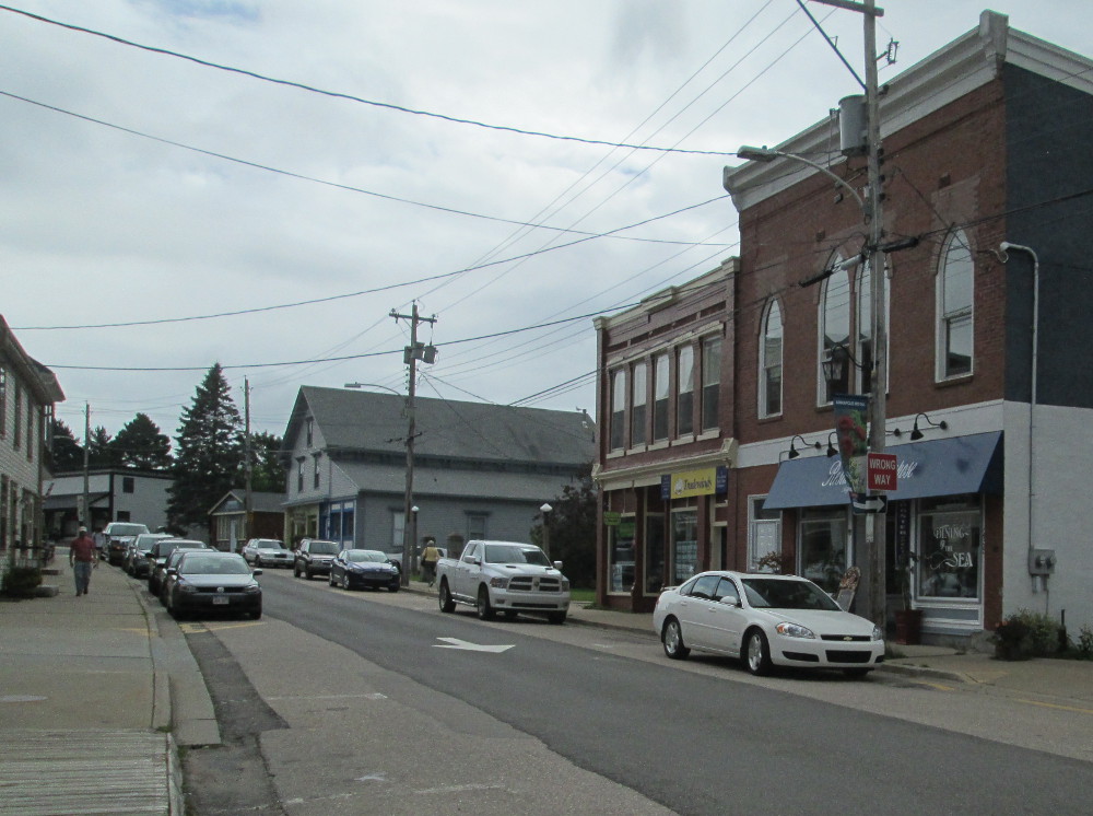
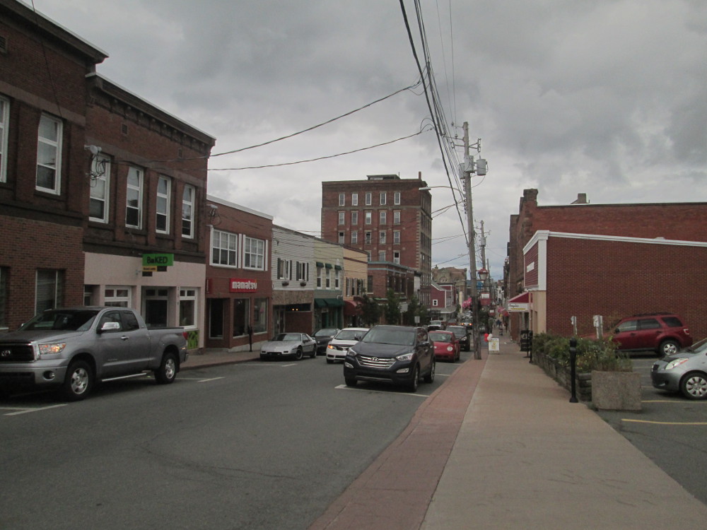
Next stop of the trip is downtown outside the St John City Market to take pictures and walk through recently refurbished Kings Square, a large city centre park across the street from the Market. The Park is well kept with lots of flowers and a water fountain. St John has a revitalized downtown.
We get to Rockwood Park Campground about 1 pm. I eat some food out of the Cycle Canada truck -last night's pineapple cake and some chili. It's cold, of course. Supposedly today is a “rest” day so I must scramble to get some food. I need some rest so type on my Net Book while washing clothes in the campground's laundry. There's wifi so I catch up on some email.
I eat supper with Budd at a restaurant on a lake that's in the large Rockwood Park that contains today's campground - Lily's Bistro in Hatheway Pavilion on Lily Lake. Bud works away on his phone and computer and writing notes, keeping Cycle Canada alive, while I relax. Lily's Bistro has a calming atmosphere – a nice change after cycling on the road. The food is good. Matt, another cyclist, joins us later, and also enjoys the ambience.
When I return to my tent, I try to sleep, but I hear lots of continuous noise from the train yards a few kilometres away, plus occasional, very loud, train whistles. The campground on the other side of the sand dune to the calm and peaceful atmosphere of Lily Lake and is quite a contrast. It reminds me of other noisy campgrounds where I've dozed in in the past.
|
|
|
|
|
|
|
|
|
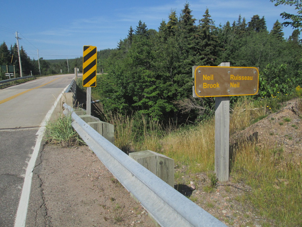
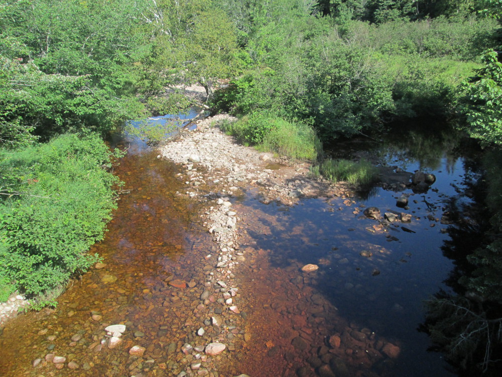
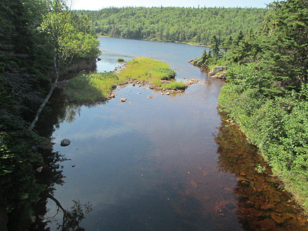
The route: Travelling east from St John following Kennebecasis River valley in New Brunswick to Sussex and beyond to camp at Three Bears Camping near Fundy National Park.
Basically, today's ride is a number of back roads along the Kennebecasis River valley. Along the way the ride goes through Rothesay, Hampton, and many smaller towns, and past many country residences and hobby farms, and, perhaps, real, working farms. Many of the communities in the Kennebecasis River were settled by Loyalists in the 1780s and 1790s, and became more populated with the construction of railroads through the valley in the late 1800s when the valley also became a summer vacation destination for wealthy Maritimers, Americans and central Canadians. There has been dramatic population growth over the past few decades due to the development of route 1 through the area in the 1960s.
Rothesay was named in 1860, after the vising future King Edward VII, said that the area reminded him of Rothesay, Bute, in Scotland. A bit further along is Hampton. It was first settled by United Empire Loyalists in 1783. It is the birthplace of John Peters Humphrey. He became Director of United Nations Human Rights Division and one of the drafters of the Universal Declaration of Human Rights.
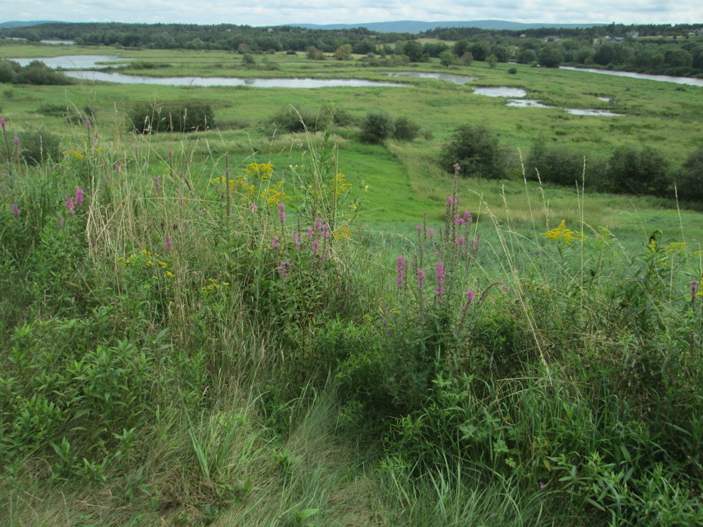
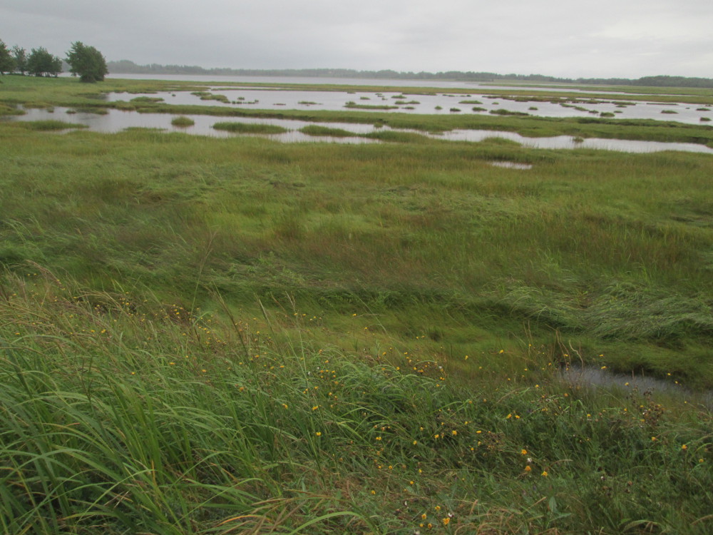
The marshes near Hampton flood every spring, contain a diverse assortment of wildlife, and are a major tourist attractions. Hampton Marsh is recognized as one of the most fertile and productive wetland systems in New Brunswick. These wetlands, covering approximately 2000 hectares (5000 acres), are located along the Kennebecasis River within and around the communities of Hampton, Quispamsis and Nauwigewauk. Wetlands support the most diverse wildlife communities of any natural habitats. 201 acres in the Hampton Kennebecasis Marsh system have been developed by Ducks Unlimited Canada. These sites provide brood habitat for such waterfowl as black ducks, blue winged teal, wood ducks, mallards and shovellers as well as nesting habitat for other marsh birds such as rails, yellow throats and bitterns. Birds and mammals including eagles, osprey, swallows, blackbirds, several species of crane, moose, beaver, muskrat and otter also use these wetlands as foraging areas. The water levels of the marsh are influenced by spring flooding and daily tides. During spring floods water covers the marsh and surrounding fields and replenishes nutrients. The flood waters disappear by late June leaving marshes, ponds, wooded areas and wet meadows. The extensive marshes receive tidal water every day. The flushing of the tides, the unique vegetation and the variety of wildlife make these one of the most valuable marshes in the Province. Fish such as chain pickerel, yellow perch, smallmouth bass and sturgeon attract hundreds of anglers to the waters each year. Commercial fishermen catch gaspereau and American eel. Salmon and sea run brook trout migrate through the marsh system on their way to spawning grounds. Plants such as wild rice, arrowhead and bur-reed provide food for wildlife. Alders, willows and larger hardwoods such as silver maple and black ash provide nesting areas, food and escape cover. The wetlands of the Hampton area provide many recreational opportunities to local residents and tourists, including wildlife viewing, hunting and fishing. The rivers, lakes and marshes provide boating and canoeing opportunities, and during the winter are used for cross-country skiing and ice skating.
|
|
|
|
|
|
|
|
|
|
|
|
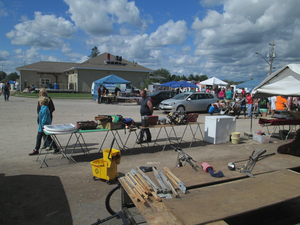
This weekend Eastern Canada's largest outdoor flea market is in Sussex. I look at it from outside the fence. There are RVs and motor homes everywhere in park next to it. Lots of people everywhere, lots of rv's, and lots of traffic for a small town even for the event of the summer? Or, at least this weekend? Sussex seems to like having large festivals like this. On the weekend after Labour Day is The Atlantic Balloon Fiesta that attracts similar crowds.
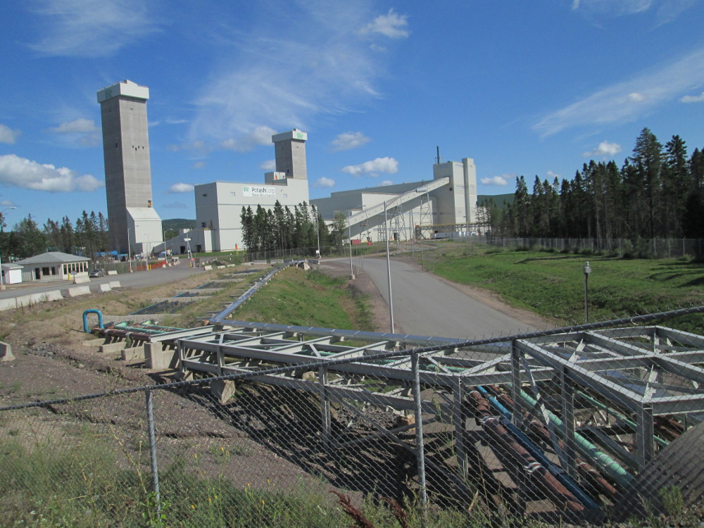
Sussex is the mural capital of Atlantic Canada. The Potash deposit near Sussex is the second largest in the world, after that in Saskatchewan. The region also has several natural gas wells in the McCully Field.
I'm told that after Sussex, near the potash mine, I rode by and did not notice the now-closed Animaland of artist Winston Bronnum, a Canadian sculptor known for his large concrete animal sculptures. He, and many other local businesses suffered in 2002 when the major road from Fredericton to Moncton was re-routed to no longer go through Sussex, but to be 30 km north of Sussex. In a few days, this trip goes past Bronnum's Giant Lobster in Shediac.
|
|
|
|
|
|
The route: Continue going eastward, south through Fundy National Park, and then eastward along the shoreline to Moncton seeing Hopewell Rocks along the way.
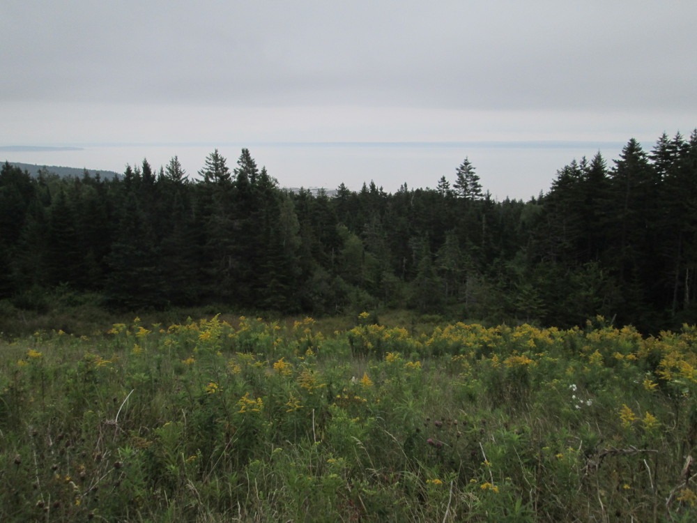
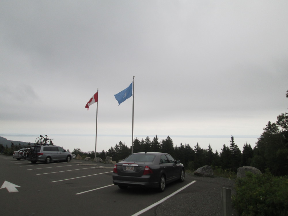
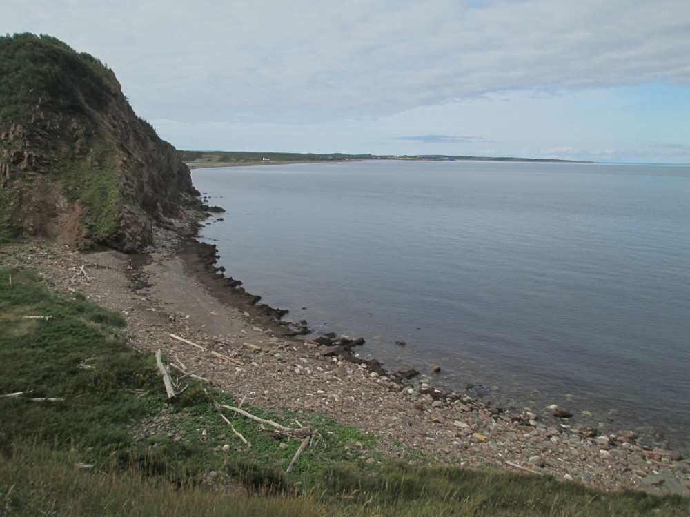
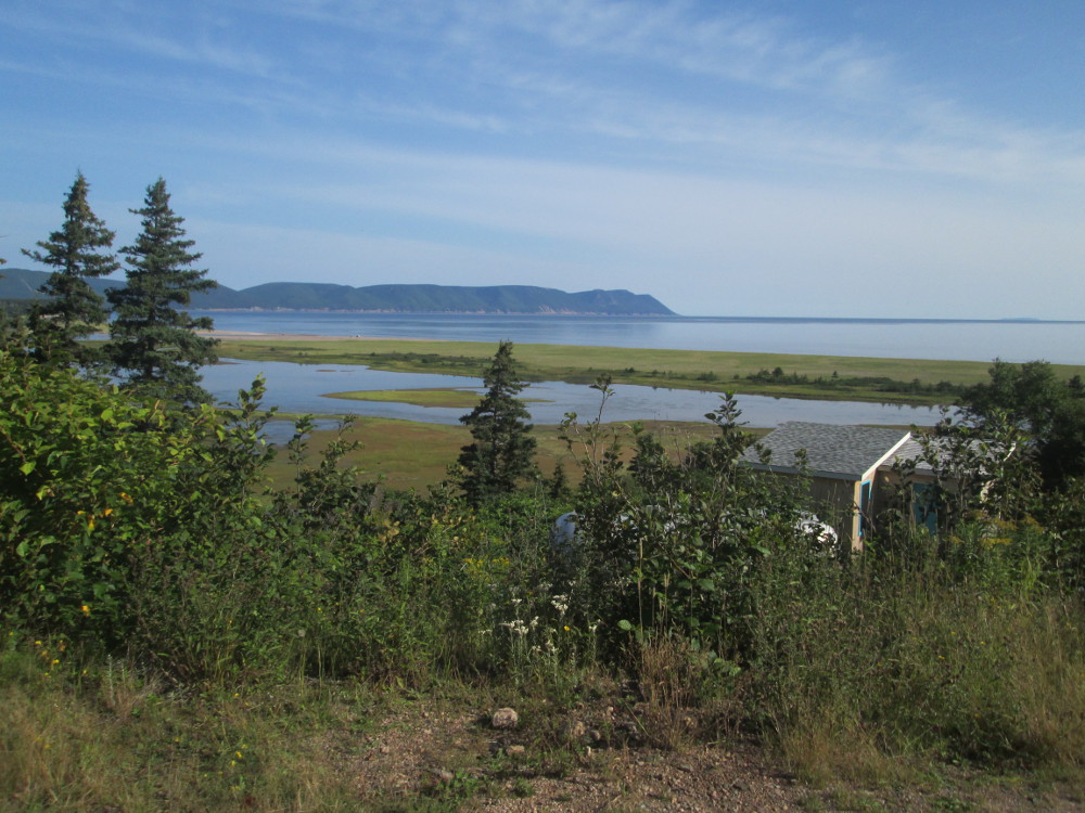
The day starts with a ride to and through Fundy National Park: “some of the last remaining wilderness in southern New Brunswick. Here, the conifer dominated Caledonia Highlands roll down to meet the fog-generating Bay of Fundy. The tidal fluctuation of the Bay of Fundy is the highest in the world.” The first part of today's ride is very hilly, from the start near Springdale to the coast of the Bay of Fundy. There's rain and fog most of time so very little that one can see. Just before the end is a stop looking over the Bay of Fundy. Today there's very little to be seen. One can barely make out the other side of the Bay of Fundy in the distance; whereas, I've seen it quite clearly on prior trips. The fog and rain continues for a bit after I reach Bay of Fundy, but it's sunny by the end of the day. The road gets flatter, too!
There is a UNESCO flag flying at the lookout of the Bay of Fundy since Fundy Park is a UNESCO World Heritage Site – the second one on this tour!
|
|
|
|
|
|
|
|
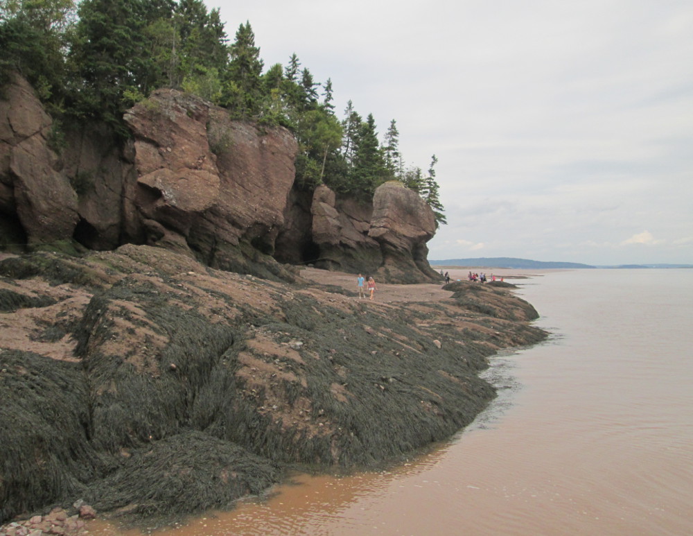
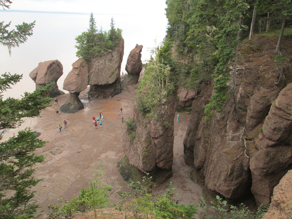
I have a big stop at Hopewell Rocks. The Rocks are very tall, dark sedimentary conglomerate and sandstone rock. The Rocks are due to a combination of glacial action during the last ice age and erosion. After the ice age, surface water filtered through cracks in the cliffs and eroded and separated the rock formations from the rest of the cliff face.
I pay the entry fee to go into The Rocks Provincial Park and see the Hopewell Rocks. I meet Matt, another cyclist on our tour, coming out. This visit is worth it. One is impressed by the enormous size and grandness of the rock formations. The walk down to the beach is more than that of the stairs of a 5 story building from the top to the bottom of the Rocks. The beach at the base of the Rocks, is flooded during high tide. The tide is due within an hour, but I do hustle and get to walk on the beach. Matt stays around awhile and kayaks amongst the Rocks.
|
|
|
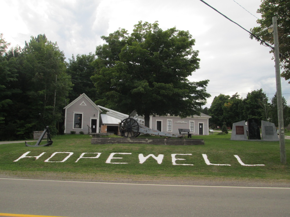
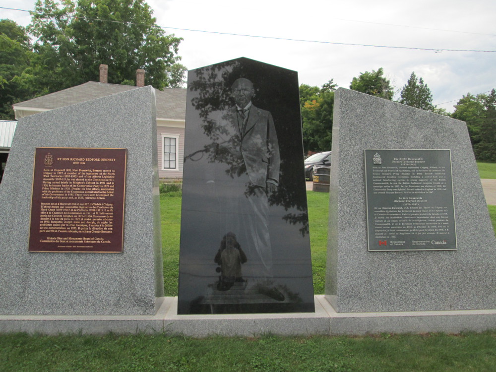
After the Rocks, in the town of Hopewell, there's a monument dedicated to Richard Bedford Bennett. He was born in Hopewell, moved to Calgary after a few years as a lawyer in Chatham NB, and eventually became Prime Minister of Canada, when known as RB Bennett, during the first part of the depression in the 1930s. He created the precursor to the CBC, the Canadian Radio Broadcasting Commission, in 1932. Friends that Bennett made in Hopewell as a child lasted a lifetime and helped him with his careers both in business and politics. He is the only dead Prime Minister of Canada who is buried outside Canada. He's buried in England where he retired in 1938 and died in 1947.
|
|
|
|
|
|
The road on today's ride is very rough most of time. I think the last time paving happened here is just before I rode this route many decades ago?
This evening, the group stays in V Hotel in Moncton. The city is named for Lt. Col. Robert Monckton, the British officer who captured nearby Fort Beausejour. Historically Moncton lost 2 major industries, but recovered each time. At one point there was major wooden ship building industry; at another Moncton had major CNR locomotive shops.
Bud leaves the tour to take the bus to Baddeck and meet up with one of the other tours of Cycle Canada, and Laura joins the tour to ride with us for the second week so now we are 4: Pat, Matt, Denise, and Laura with our supporting crew of Ms. Tara and Mr. Chris.
The route: Moncton to Murray River Provincial Park through Shediac and Cap-Pelé.
The day starts with a ride through Moncton and Dieppe. This road, as all of today's roads, is basically flat – no hills to climb today! There are a few hills due to sand dunes, but not much more.
Today's theme is maritime weather of frequent squalls. There's contining intermittent rain all day, off and on. The wind is sometimes from behind, but sometimes strong enough from the side that it inhibits travel.
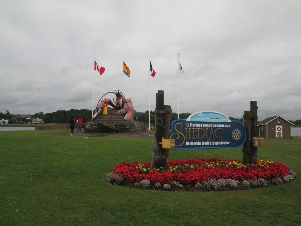
Today's notable sites: The Shediac Lobster, quays with fishing boats, and large sandy beaches.
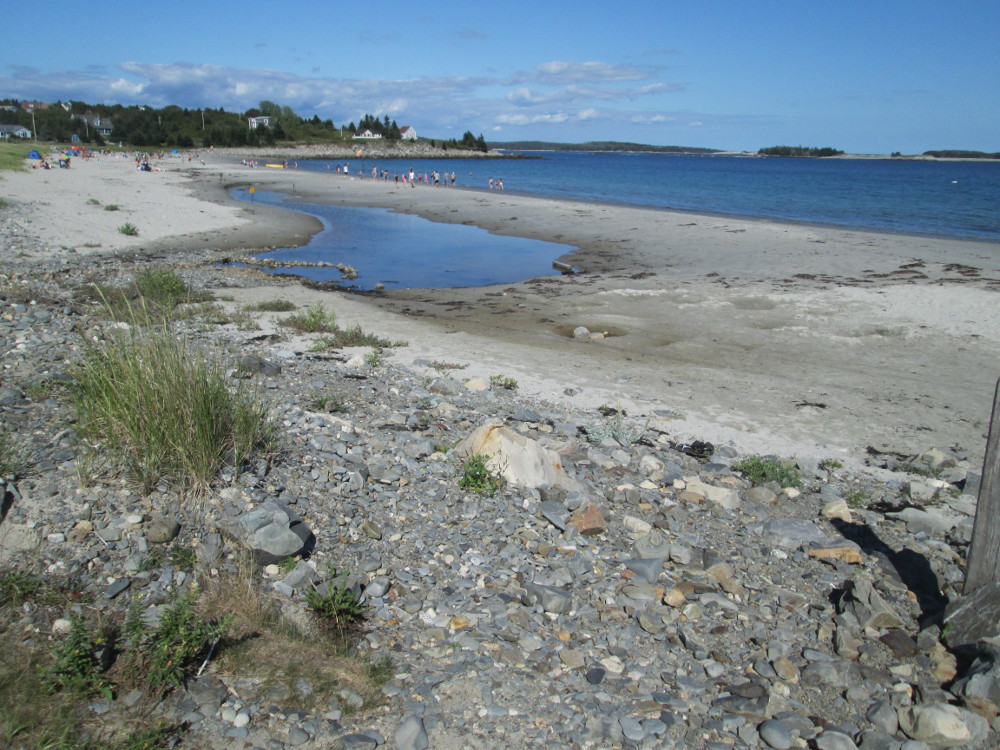
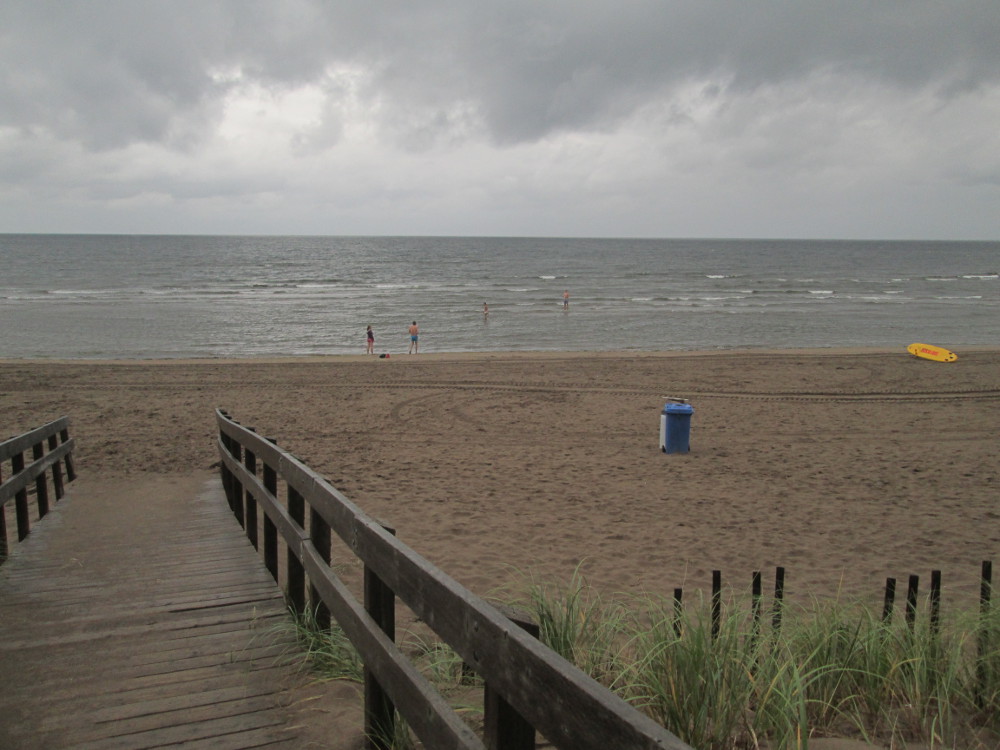
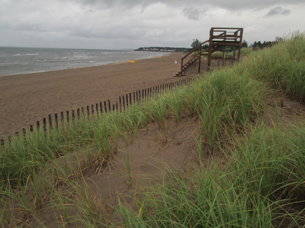
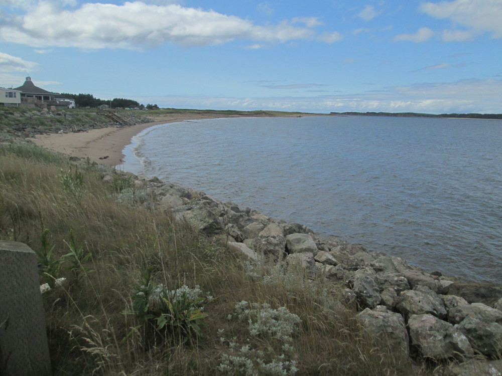
On good days, beaches like Parlee Beach are crowded – it claims to have “one of North America’s finest beaches” and have “the warmest salt water in Canada.” Today, I do see a huge parking lot, a beach-side restaurant, a long sandy beach and many lifeguard towers, but there is almost no one here. There are also barricades to inhibit walking on the sand dunes so they are preserved. Is summer over? It is a bit damp and cool. There are a few die hards playing in the waves. I walk for a bit to feel the sand and enjoy the smell of salt in the air, the calmness behind the dunes, the strong wind on the beach, and the sea gulls soaring in the breeze.
There are more tourists attracted to the Giant Lobster in Shediac. The town is famous for this Giant Lobster that is 35-feet long, 16-feet wide, and 16-feet tall. It was built in 1990 for the Shediac Rotary Club by the sculptor Winston Bronnum of Penobsquis, New Brunswick who died in 1991. “Winston Bronnum also designed the Maugerville, NB Potato , the St. John, NB Horse , the Penobsquis, NB Broken Down Race Horse , the Cow Bay, NS Moose , and the St. Thomas, ON Jumbo the Elephant .”
|
|
|
|
|
|
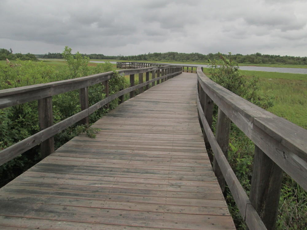
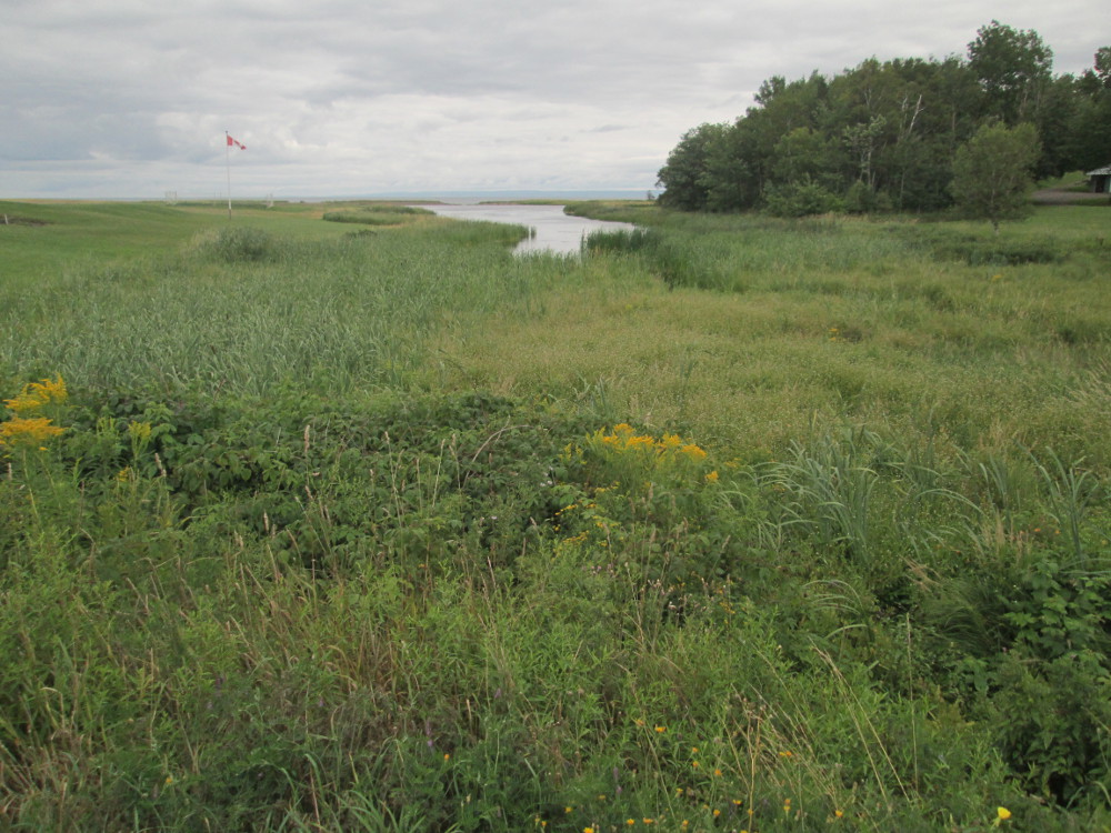
I take short walk on Boardwalk Trail in Cap-Pele. The trail is over a salt marsh. It's great to have a break from continuous cars and get closer to nature where one can feel the breeze in the salt grasses of the marsh. In Cap-Pelé I visit 2 quays. There are fishing boats and lots of metre high waves today since there's a strong onshore wind. After watching one boat get docked, I'm amazed at how these little boats are guided into the quays.
|
|
|
|
|
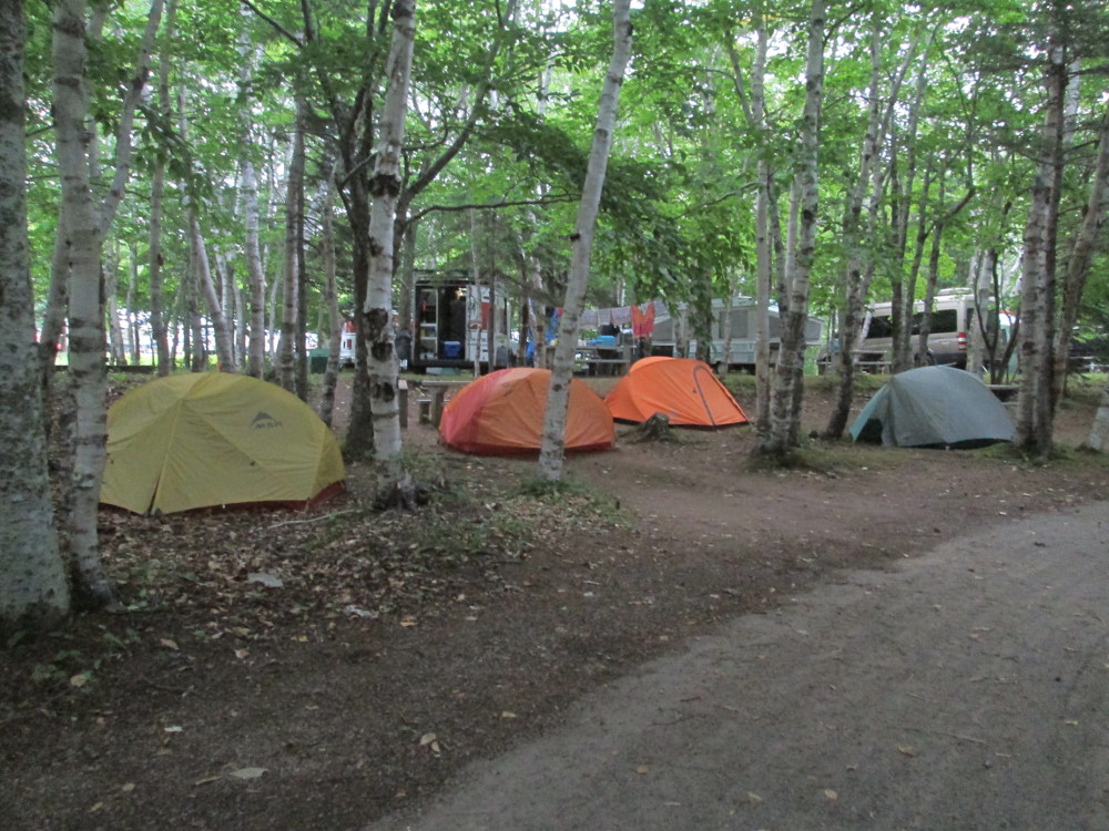
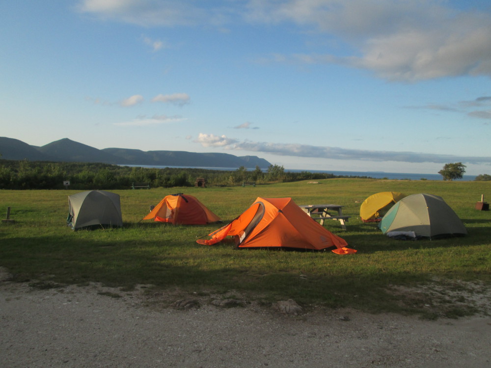
The wind is blowing so strong in Murray Beach Provincial Park where the tour is staying today that most of our gang puts up their tents in a picnic shelter, the same one that we're eating under and otherwise surviving in. I put mine behind some trees to test out it's ability the be hardy in storms. It passes! I stay dry and warm all night. My tent stays in the same place, behind some trees, in the breeze, too!
The picnic shelter is a bit crowded with all the tents and the picnic tables, but we manage to play the card game of hearts after Ms. Tara cooks an enormous meal. I try a winner-take-all strategy and lose. Not this time. It sometimes works?
|
|
|
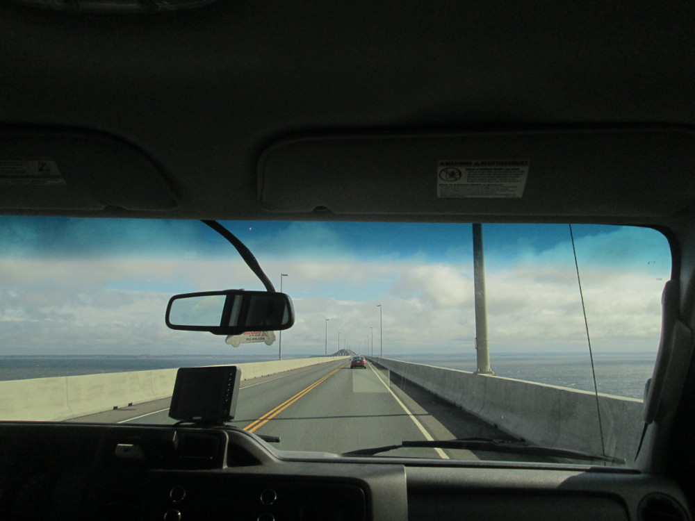
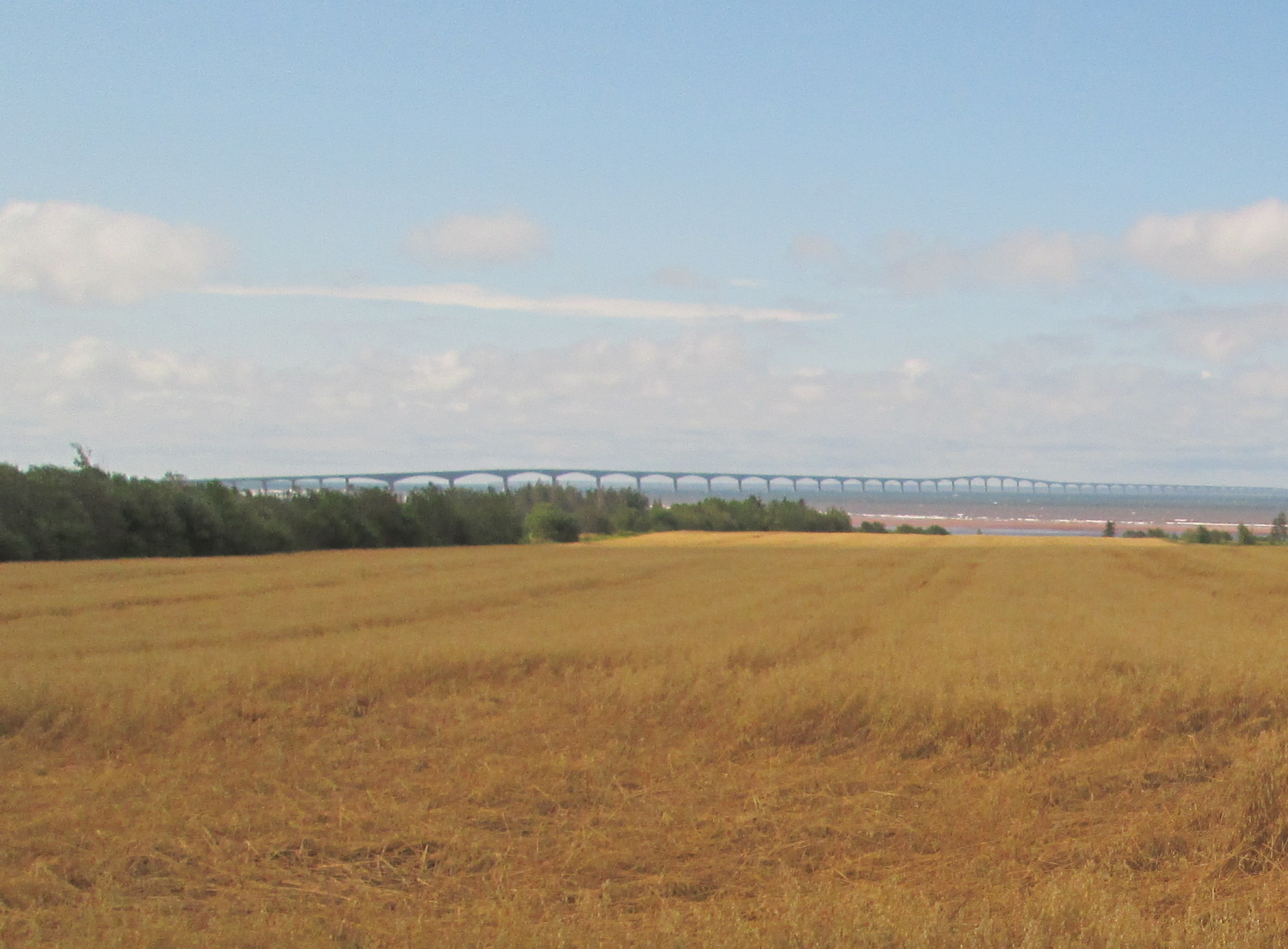
The route: Across Confederation Bridge to Prince Edward Island where ride to Charlottetown through PEI National Park in Cavendish.
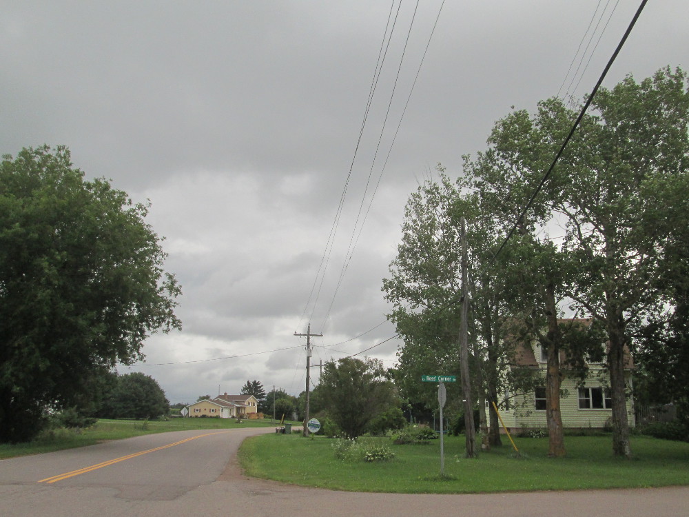
I take my own route to Cavendish: starting at Confederation Bridge to PEI from NB, follow road 10 westward towards Summerside that becomes 1A, turn north at Ross's Corner onto road 8; go to end where turn on road 6 in easterly direction and take to road 15 with a diversion through PEI National Park along the beach. The first part of the ride has few cars. There are fewer on road 8 where maybe 10 cars pass me. The traffic is heavier near Cavendish on Highway 6. This route is somewhat hilly, but almost all hills have moderate grades except for 1 steep hill just before New London on Road 8.
Again, today, is intermittent rain that's heavy at times. Luckily, the rain ceases the whole time I'm in PEI National Park, but then it starts again with a vengeance when I get to North Rustico at the other end of the Park.
The first part of today's ride, along road 10, goes westward, into the wind, headed to Summerside. There's soon a turn at Ross's Corner where I do take road 8 going north even though it's hard to make out the town site of Ross's Corner. There's no sign for the town site, but is one for road 8. After awhile I do notice a very small road sign for Ross's Corner Road. I note that the places on PEI map are much closer together than those on the New Brunswick map. Hmm, different map scale? PEI is a small province, eh?
|
|
|
|
|
. Note the small green street sign with white lettering that indicates "Ross' Corner" |
|
|
|
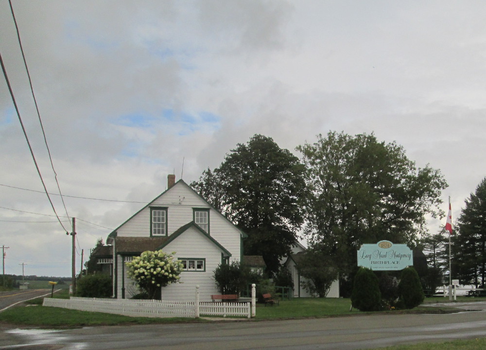
At the end of road 8 is New London. I turn right and head east on road 6 through Stanley Bridge to PEI National Park and Cavendish. New London is the site of L.M. Montgomery's birth according to the signs. It was first settled by Robert Clark in 1773.
A bit further down the road is LM Mongomery's house of Green Gables where she was inspired to write her famous works like “Ann of Green Gables.” A few decades ago I went into this site and was disappointed. Now there's a big fence around the whole estate and a big admission charge. I have 5 minutes to stop and take a picture over the fence. Maybe some other time, I'll come and go in again?
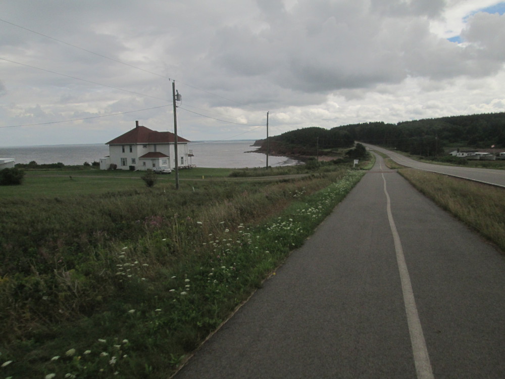
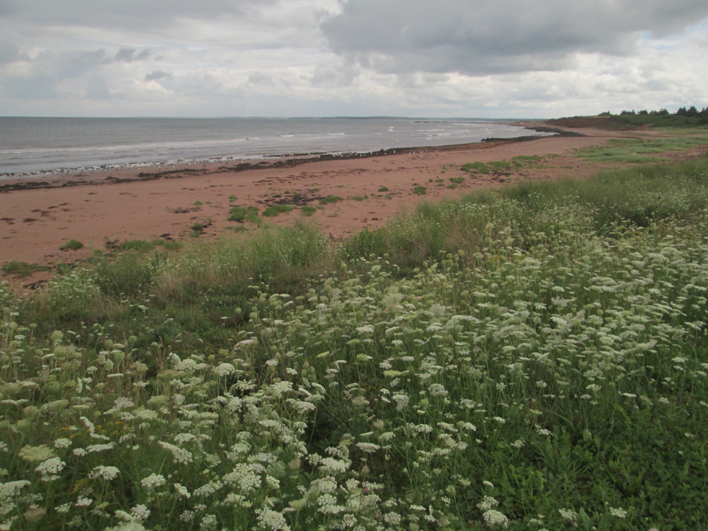
The next highlight of today is PEI National Park. I ride a bicycle trail through the park stopping often. It's just absolutely wonderful. The wind is at my back, the beach to my left, and it's warm, t-shirt weather. I meet a runner or 2 and a few cyclists who agree that this is one of the best spots in the world, for cyclists, eh? There's more vegetation growth along the beach in PEI National Park than there was when I last visited a few decades ago. At times, the vegetation hides the beach from the road and bicycle trail.
|
|
|
|
|
|
|
|
|
After PEI National Park, my route goes through North Rustico and follows Road 6 to Road 15 that goes towards Charlottetown. The primary industries of North Rustico are fishing, tourism, agriculture, and being a bedroom community for Charlottetown that is 30 km away. The residents are well-off: the households in North Rustico have incomes almost twice the provincial average.
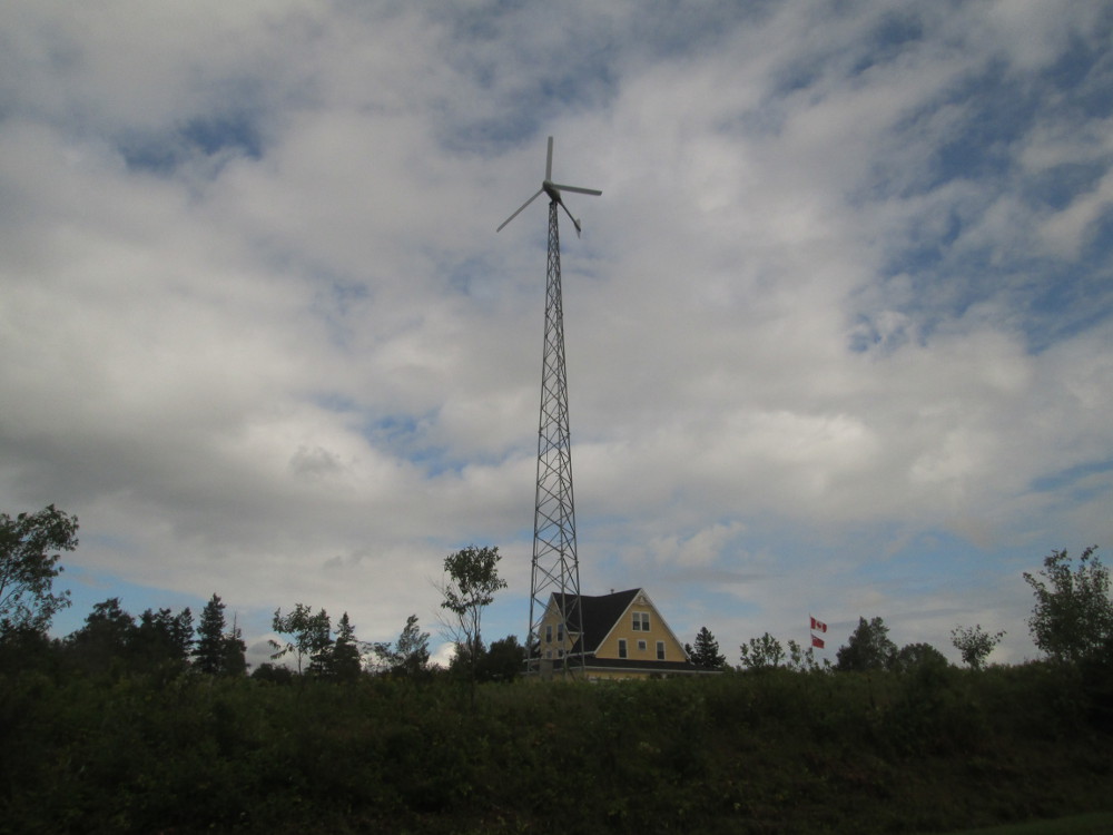
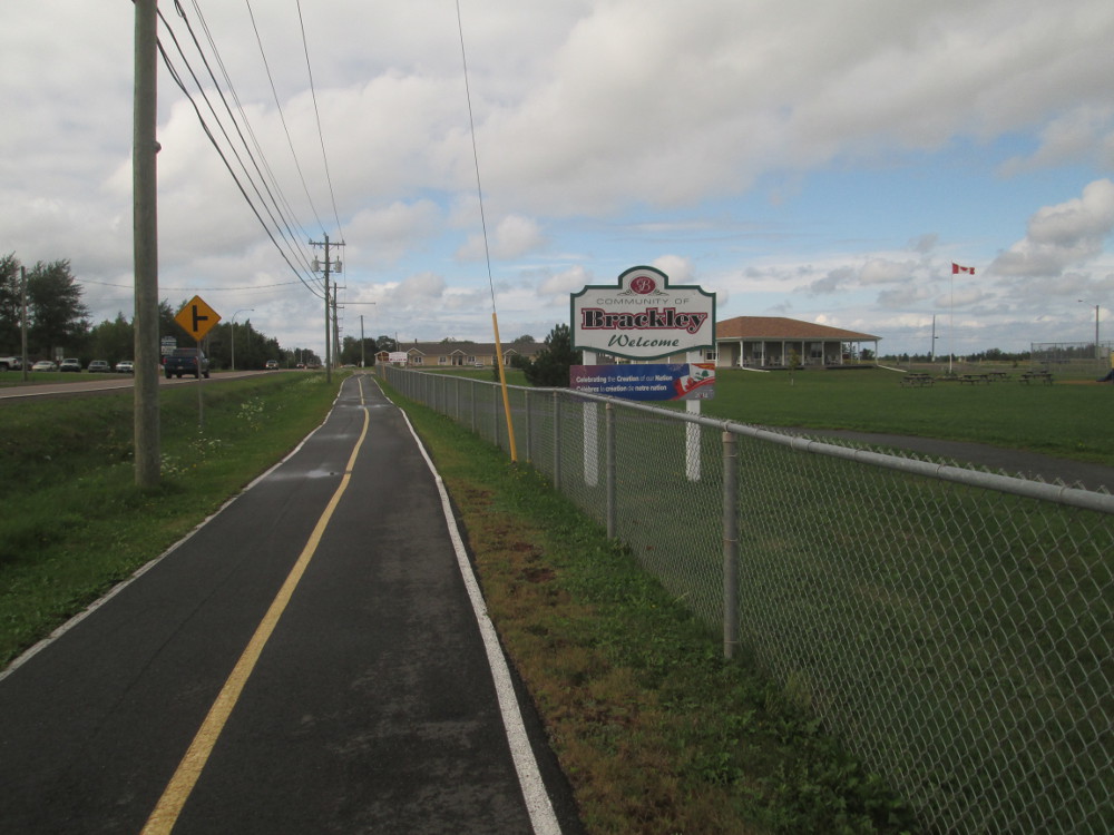
It sure is windy. Luckily the wind is at my back today. There are a few farms using this wind by having their own electricty generating windmills. Surprisingly, I find a bicycle trail in Brackley that goes past the Summerside Airport all the way to Summerside, except for 1 short 300 metre stretch just after the Airport, where it's hard to find a spot for the bicycle amongst all the cars. There may be a bicycle trail behind some of these houses that locals know about. At least that's what a map tells me later ... but, as a person-from-away, though a tourist, I'm ignorant of this fact. I just find a missing link in the bicycling infrastructure after I visit Charlottetown Airport.
|
|
|
|
|
|
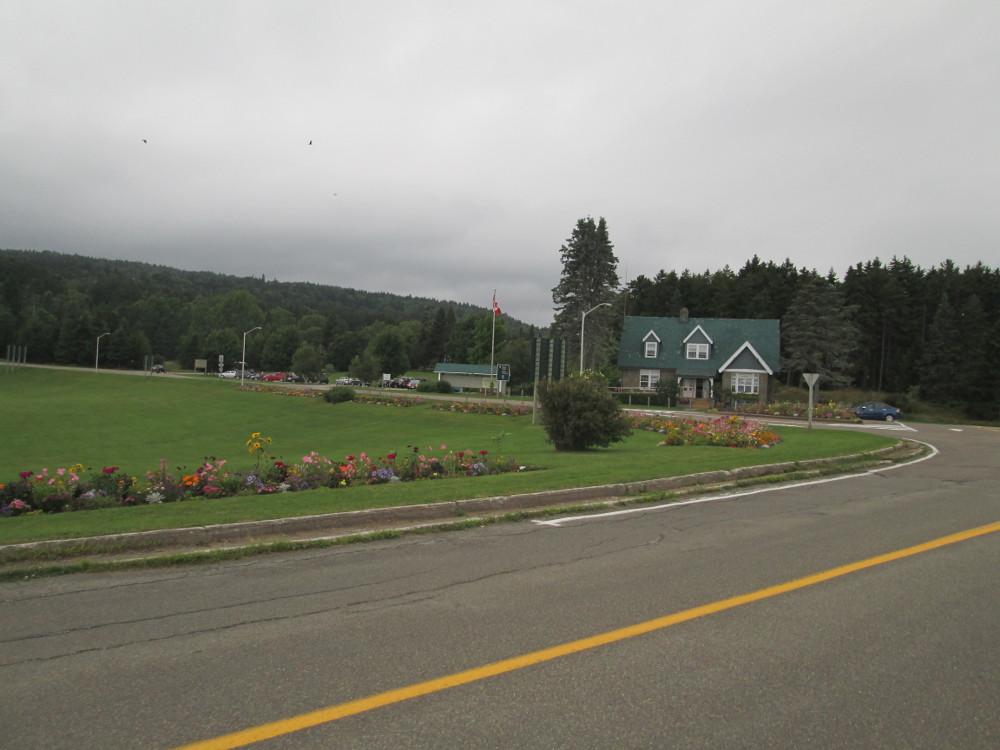
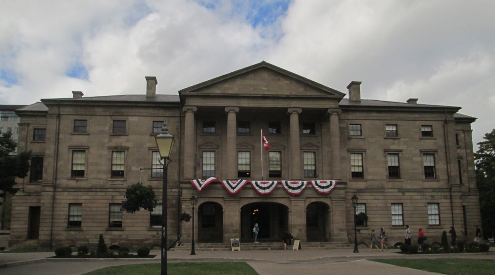
Today is a “rest day” in Charlottetown, PEI. Charlottetown is named in honour of Charlotte of Mecklenburg-Strelitz, queen consort of the United Kingdom and wife of King George III.
I decide to actually take it easy as there are 5 more heavy days to this Tour Atlantic. We are staying at Holland College that is close to historic downtown. I decide to walk downtown. My original plan is for 1 to 2 hours. I end up walking for almost 2 hours.
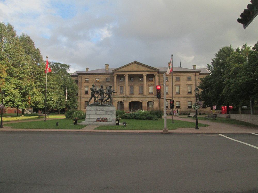
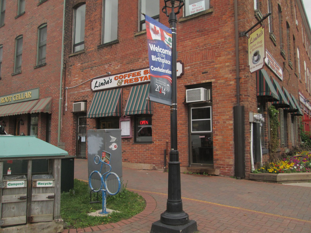
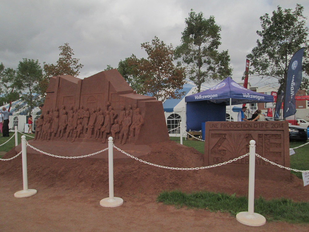
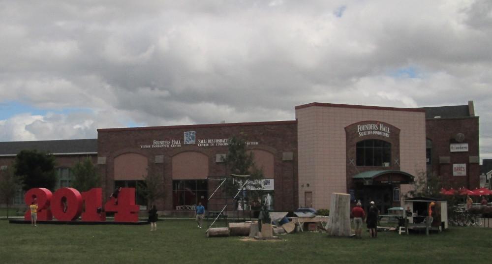
I discover a large exhibition for the PEI 2014 celebration of 150 years since September 1–8, 1864, the date of the Charlottetown Conference to found Canada. This was the first meeting of the Fathers of Confederation. I take pictures of these celebrations and many other buildings, mostly old ones.
|
|
|
|
|
|
|
|
|
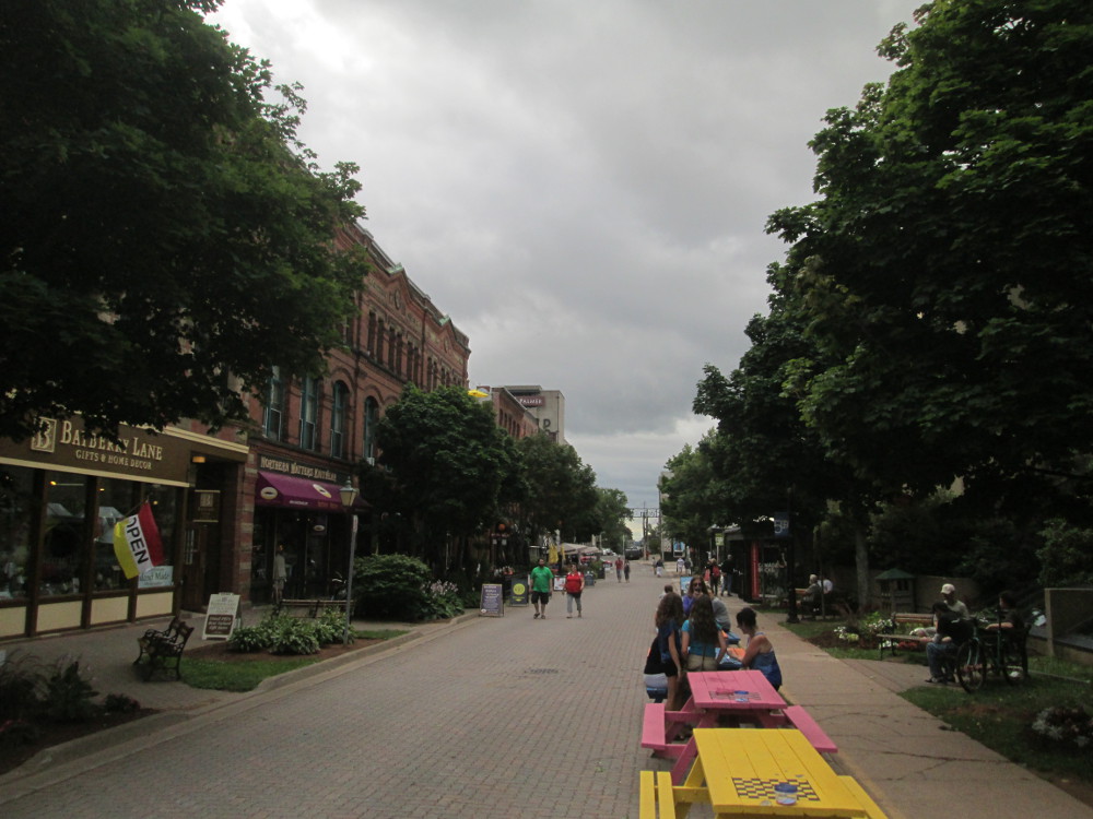
Victoria Row on Richmond Street is closed to cars in the summer. It is a good place to practice patioing: “The art of patioing is socializing with friends and loved ones on the patio of a restaurant or pub... Located on Richmond Street, “the Row,” as it’s known to Islanders, is home to a variety of shops, restaurants with indoor/outdoor dining and most importantly, atmosphere. In the warm summer months, the street is bumping. Whether it’s live music you crave, delicious Island fare to taste or if you are simply looking for somewhere nice to sit outside and have a few pops with friends, look no further than Victoria Row.”
|
|
|
|
|
|
The route: From Charlottetown to Wood Islands to get ferry from Wood Islands, PEI to Caribou, Nova Scotia; then on main roads heading east along the north shore of Nova Scotia through Pictou and New Glasgow to Lower Barney's River.
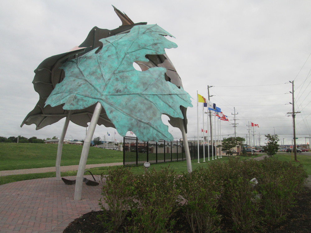
First, two pictures of Charlottetown Event Grounds that I take on way out of Charlottetown near the Hillsborough Bridge. The new Charlottetown entrance sign that was built this year, 2014. People see it when they enter Charlottetown from the east via Hillsborough Bridge. The sign is part of the Historic Hillsborough River Commons that contains a large sign welcoming people into the city, interpretative panels that tell the story of the 1864 Charlottetown Conference, a large sculpture, decorative wrought iron fencing, flag poles, and benches. The sculpture is of 3 large maple leaves forming a shelter. It was designed by two artists from PEI, Gerald Beaulieu and Ahmon Katz.
|
|
|
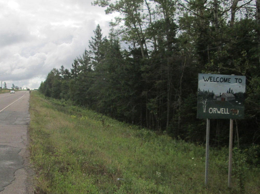
On the way to the ferry at Wood Islands there are a number of signs worthy of pictures. The sign for Orwell reminds one of George Orwell who is best known for his novels Nineteen Eighty-Four (1949) and Animal Farm (1945). Orwell, PEI is best known as the birthplace of Sir Andrew Macphail on November 24, 1864. He is described as “one of the most influential Canadian intellectuals of his time.” His homestead is preserved and part of it is the historic old-growth forest of the Macphail Woods Ecological Forestry Project.
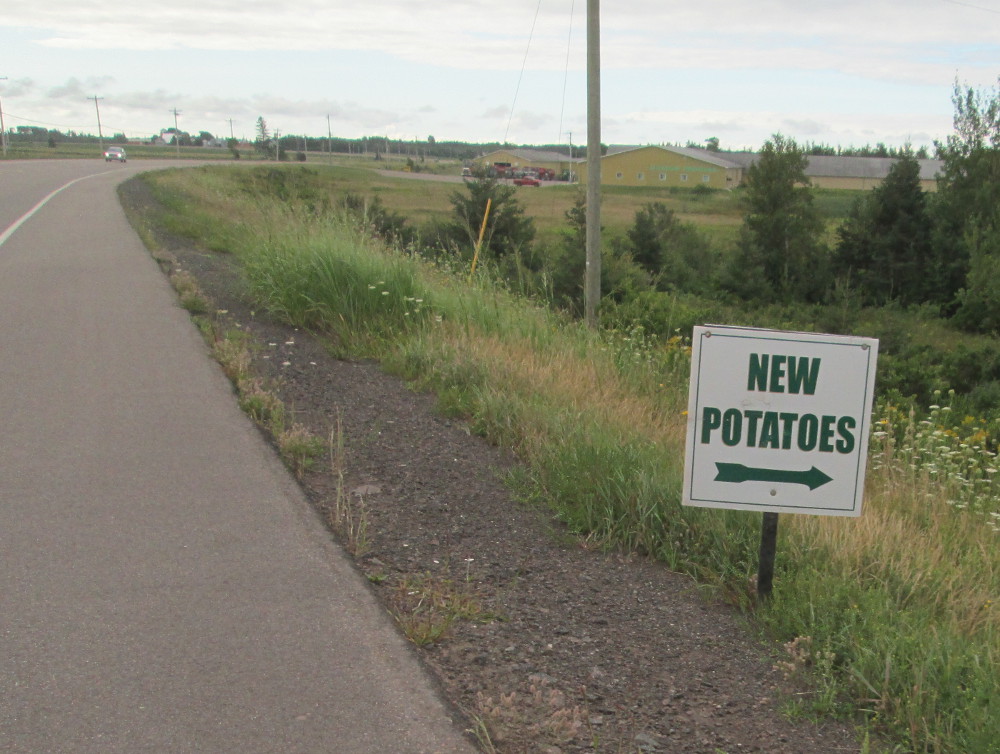
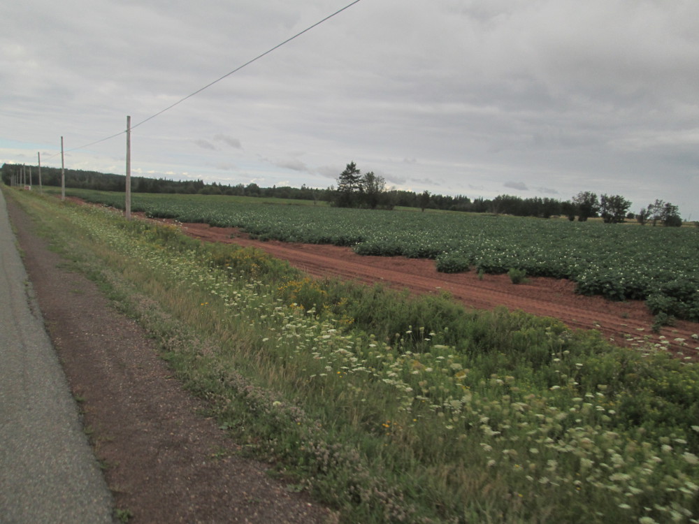
PEI is known for producing potatoes. The farmers aim to produce tasty potatoes, too. PEI has conditions favorable to potato production: a climate of warm summers, relatively cold winters, and significant natural precipitation, and a unique red soil high in iron oxide. Such conditions reduce the need for continuous irrigation, inhibit the development of diseases and pests, and provide the right temperatures and soil conditions for profitable potato production.
“Potatoes are planted in Prince Edward Island starting in early May each year. "New potatoes" are harvested starting in June and continue to be harvested during the growing season, primarily for local production. The main harvest begins in late September and usually continues until early November. Fresh market potatoes are usually harvested first, with Russet varieties normally harvested later in the season. Among the most popular varieties grown in Prince Edward Island are Russet Burbank, Goldrush, Superior, Yukon Gold, Red Norland, and a number of proprietary varieties. Over 100 varieties of potatoes are grown in Prince Edward Island. Potatoes generally marketed as Russet, Round White, Yellow Fleshed, Red, or Specialty varieties.[9]
“The Prince Edward Island community of O'Leary is home to the Canadian Potato Museum.
“The potato industry is a major economic engine for the Province of Prince Edward Island. Prince Edward Island produces approximately 25% of the total potato crop grown in Canada each year... The potato industry directly or indirectly employs approximately 12% of the provincial workforce. Approximately 88,000 acres of potatoes were grown in Prince Edward Island in 2013.
“Approximately 60% of potatoes grown in Prince Edward Island are processed into products such as French fries or potato chips. Major companies involved in contracting potatoes for processing in PEI include Cavendish Farms, McCain Foods, Frito-Lay, and Old Dutch potato chips.
“Another 30% of Prince Edward Island Potatoes are destined for fresh markets ... in all provinces of Canada, the Eastern Seaboard of the United States, as well as a number of export markets (notably countries and dependencies in the Caribbean. Prince Edward Island's proximity to large population centers in Eastern North America as well as it's access to container shipment through Halifax, Nova Scotia and Saint John, New Brunswick assist in getting product to market in a cost effective manner.
“The final 10% of Prince Edward Island's potato harvest is grown for seed production, to produce the next year's potato crop. The majority of seed grown in PEI is utilized within the province, but seed potatoes have been exported to the United States and a number of international countries for many years. The Prince Edward Island Potato Board operates an Elite Seed Farm to multiple early generation seed for the benefit of Island potato growers.
|
|
|
|
|
|
First off today, once outside Charlottetown, there's this great rush to the ferry at Wood Islands, PEI that goes to Caribou, Nova Scotia. Laura and myself ride together and get to the 11 am ferry with time to spare; Matt first visits a bicycle store in Charlottetown to get a spoke fixed, but he can ride amazingly quickly. He also catches the ferry, just at the last moment. I work on my diary while the ferry motors on over Northumberland Strait. The weather is wonderful in comparison to the pouring rain of my last visit – at that point, the residual storm of a hurricane, a tropical depression, had arrived. Not today. It's sunny with a few clouds and comfortable t-shirt weather.
|
|
|
After the ferry, I take “Three Brooks Road” into Pictou, rather than Highway 106. The road has improved since I first took it over a decade ago. Most of the pavement is smooth, and awkward hills have been smoothed out. The views are much better than those of Highway 106. I can see the sea much of the time. Maybe Cycle Canada is advised to add this optional route to their maps?
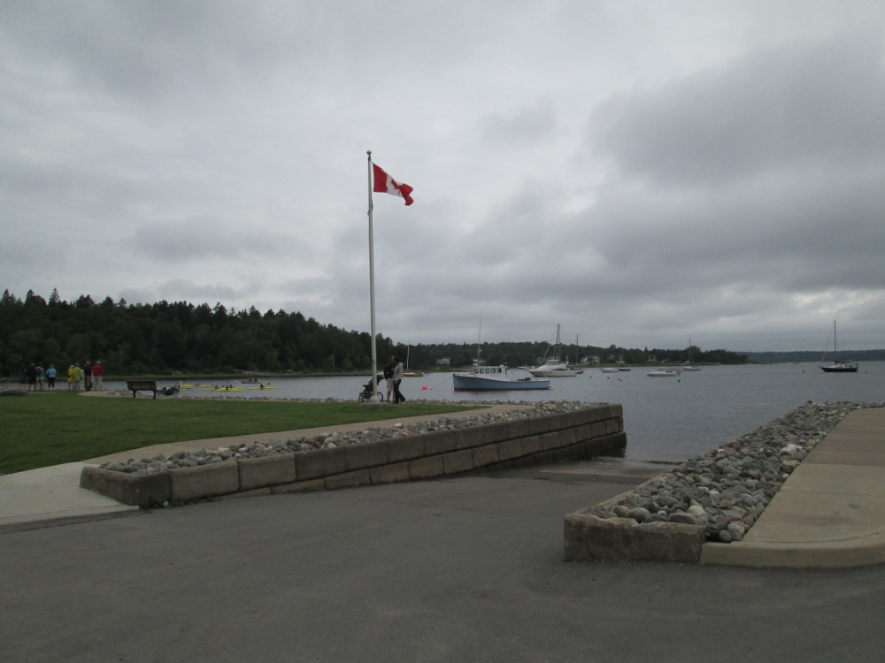
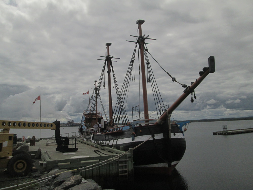
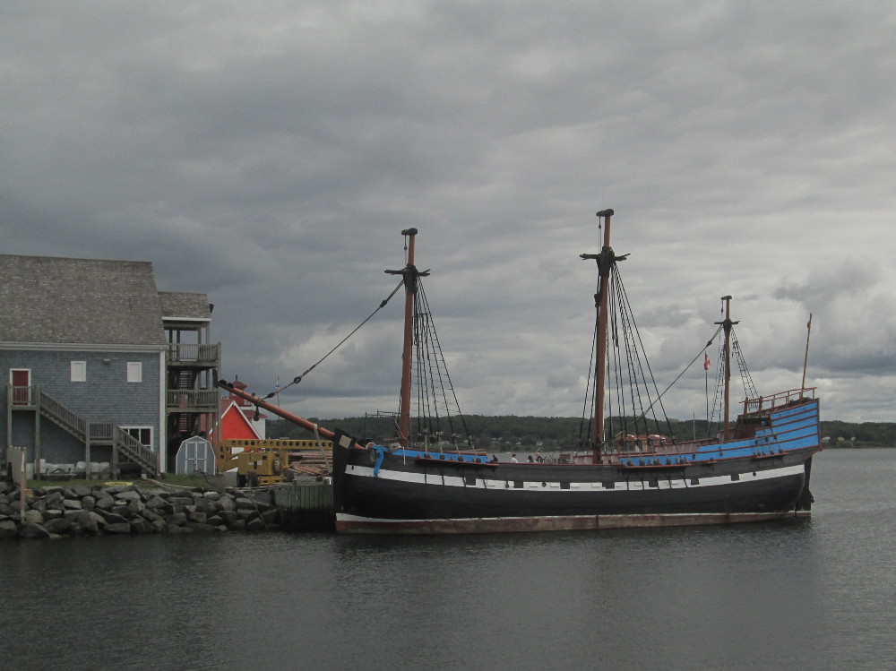
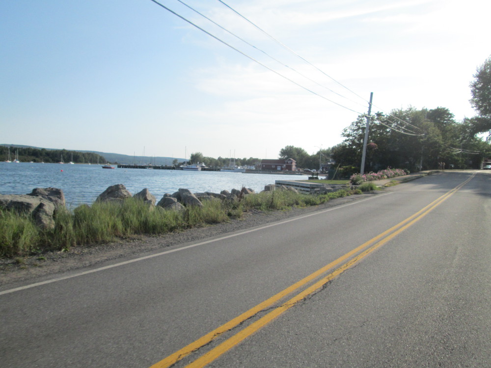
The next feature of today is Pictou Nova Scotia and “The Hector.” The Hector was the first of many ships carrying Scottish immigrants to Canada to come through Pictou. Pictou is currently a local service centre for the surrounding rural communities and a tourist destination. The primary tourist attraction is Pictou harbour that was redeveloped in 1990s to 2000s. There are also attractive beaches nearby in Caribou Provincial Park and Waterside Beach Provincial Park.
Historically, Pictou was a fishing and shipping port, and a significant point of immigration to Canada from Scotland. Before the Europeans landed, the site of Pictou was used by aboriginals: the location of an annual Mi'kmaq summer coastal community.
The Hector is a ship that is famous for being part of the first significant migration of Scottish settlers to Nova Scotia in 1773. There were 189 settlers on the Hector. Pictou harbor contains a replica of The Hector that was launched on September 17, 2000. The immigrants were Highlanders from Scotland who came due to the availability of land in Canada after they were forced off their rural properties in Scotland by the Scottish Highland Clearances.
The Hector's “famous voyage took place in 1773 with a departure date around the second week of July, carrying 189 Highlanders who were immigrating to Nova Scotia. The vessel's owner, Mr. John Pagan, along with Dr. John Witherspoon, purchased three shares of land near Pictou, Nova Scotia. Pagan and Witherspoon hired John Ross as a recruiting agent for settlers willing to immigrate to Pictou with an offer of free passage, 1 year of free provisions, and a farm. The settlers (23 families, 25 single men) were recruited at Greenock and at Lochbroom (Rossshire) with the majority being from Lochbroom. The settlers that boarded Hector were poor, "obscure, illiterate crofters and artisans from Northern [Scotland], who spoke Gaelic." The school teacher, William McKenzie was one of the few passengers on the Hector to speak both Gaelic and English.
“Hector was an old ship and in poor condition when she left Europe. The arduous voyage to Pictou took 11 weeks, with a gale off Newfoundland causing a 14 day delay. Dysentery and smallpox claimed 18 lives amongst the passengers. The vessel arrived in Pictou Harbour on September 15, landing at Brown's Point, immediately west of the present-day town of Pictou.
“The year's free provisions never materialized for the passengers of Hector. They had to hurry to build shelter without those provisions before winter set in and starved them.
|
|
|
|
|
|
|
|
|
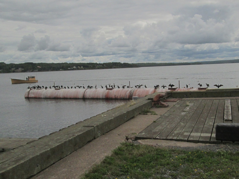
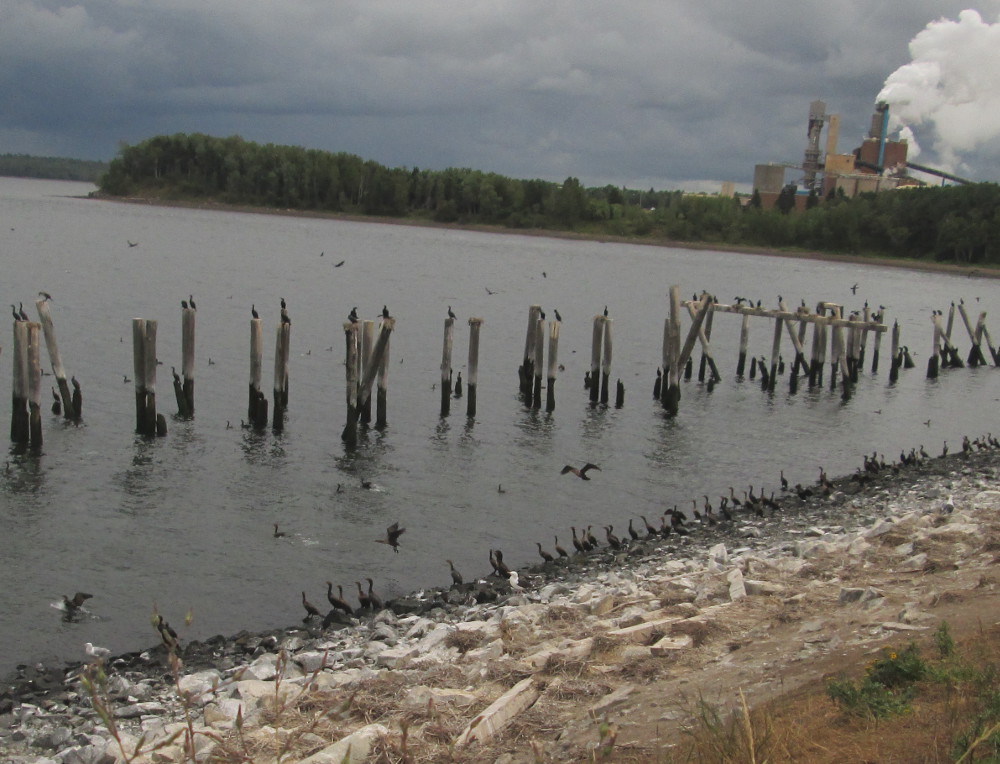
The route exits Pictou on the Harvey A. Veniot Pictou Causeway on Highway 106. I remember seeing lots of Double Crested Cormorants beside this causeway before so look for them and find them on the other side of the Highway 106 resting on some old pylons.
After the Harvey A. Veniot Pictou Causeway the ride continues through New Glasgow. Many residents work in the heavy industry in nearby Trenton , Granton, and Abercrombie. There is currently a political discussion of amalgamating these and other surrounding communities into one city.
|
|
|
|
|
|
|
|
|
All riders are relieved after they solve the mysteries of the streets of New Glasgow with it's multiple turns. After New Glasgow the route is almost car free today. There were lots of gentle hills today in both PEI and Nova Scotia. I'm told that the big hills are yet to come.
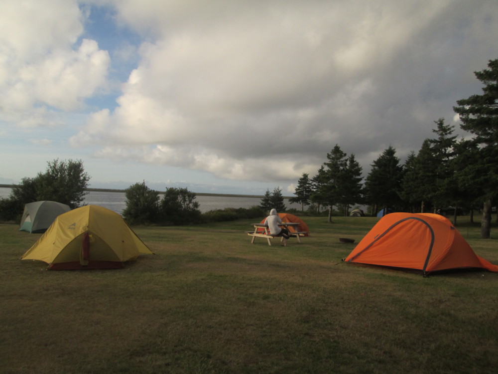
The campground and our campsite are on the edge of the sea. It's quite scenic. We all have a great time. There are even swings to swing on – for us and the local mob of children who have been “at camp” all summer. Some of them are quite chatty. Others just like to get into the back of the Cycle Canada truck for some unknown reason.
After Tara cooks another great dinner, Matt pulls out some Bocce balls and we all play a game “country style” in that we wander all over the campground rather than having boundaries on where the ball can go. This makes the game more challenging since, like putting in golf, the ground needs to be “read” before bowling the ball rather than having a flat surface, that's more or less the same on every throw, as in the more civilized version of the game. Sometimes the “jack” ball even gets lost behind some weeds. I think this is my first time doing Bocce ball and I even get two points. Just amazing. Thanks to Matt for yet another game. Camp is better for it. I recommend Bocce ball for Cycle Canada trips. It's a good way to get to know the other campers.
A match of Bocce is started by a randomly chosen person throwing a smaller ball, the jack (called a boccino or pallino in some areas). Each team then bowls. The objective is to bowl the balls so they land close to the jack, or knock the other team's balls further away from the jack. The team with the closest ball to the jack scores in each frame receiving one point for each of their balls that is closer to the jack than the closest ball of the other team.
The route: Start by going north east along the coast of the Northumberland Strait, then turn inland and go south on Highway 245 to Antigonish. After Antigonish, continue eastward to Linwood on roads that follow the coast, mainly using Highways 104 and 4 when the latter is available.
A short distance into today's trip, I notice signs for the Culloden Cairn in Knoydart. My heritage includes one Scottish grandparent. My mother once mentioned visiting the Culloden Cairn so it is high on my list of essential side trips. It is a must see. I stop at the trail to the Cairn that is well marked on the road and walk and ride the 250 metres from the road to the actual Cairn. It is an impressive site in a grand location. Specifically, the Cairn commemorates three men who fought on the side of Bonnie Prince Charlie at the Battle of Culloden on April 16, 1746 and lost this ultimate battle of the Jacobite Uprising of 1745 that aimed to make Charles Edward Stuart (i.e., Bonnie Prince Charlie) King of England, Ireland, and Scotland, and, in this way, regain the British throne for the House of Stuart . After this tragic loss, many Scottish emigrated to this part of Nova Scotia. The Culloden Cairn commemorates 3 of them: Hugh MacDonald, John MacPherson, and Angus MacDonald. Many direct descendants, and other Canadians of Scottish descent, feel a connection to the Cairn. The Culloden Memorial Ceremony occurs here annually in April. Another visible result in the present-day is that Knoydart, Nova Scotia was named after Knoydart, Scotland in the same way that many other local places named after those in Scotland.
|
|
The tour continues along Northumberland Strait through small towns like McArras Brook and Arisaid. McArras Brook is named for the original settler, James McCara from Perthshire, Scotland. Now I see pictues on the Internet of Arisaig Provincial Park. They look great. I must do a side trip there next time.
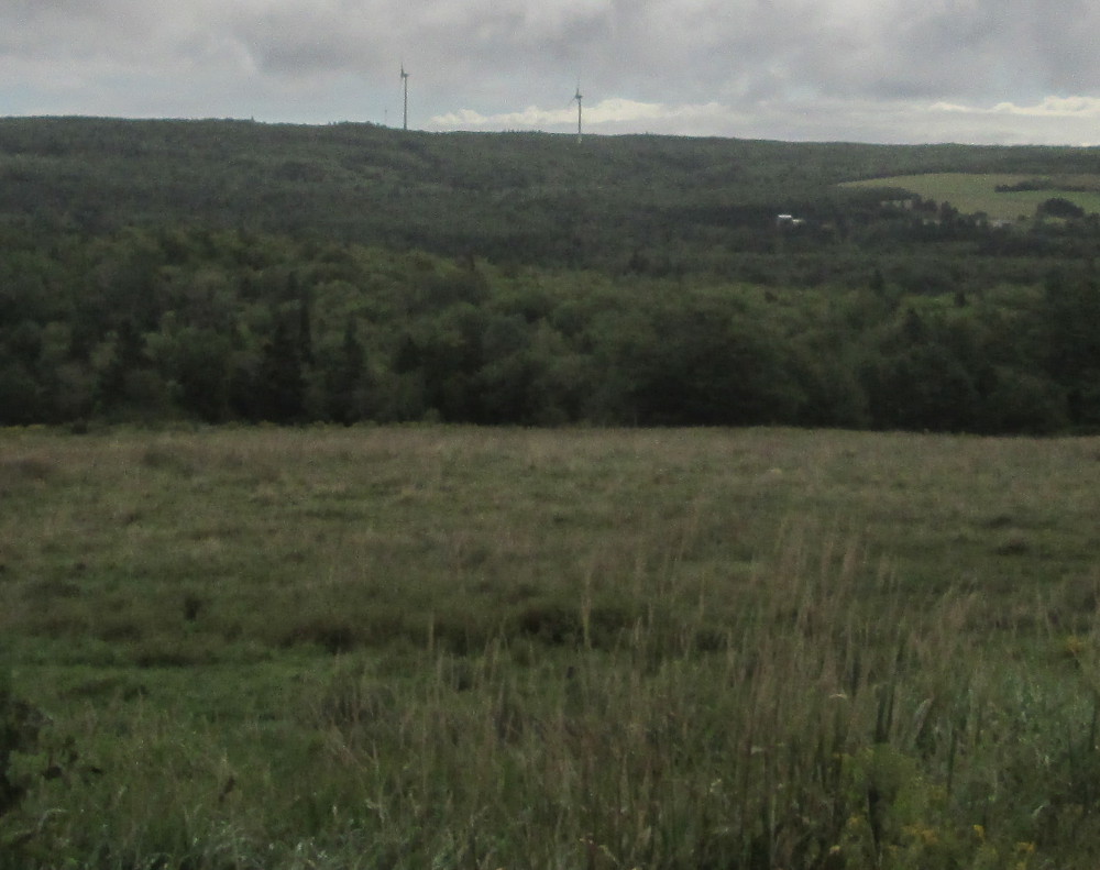
As usual, there are lots of little hills today in the rolling countryside, and the maritime weather continues with intermittent rain that is heavy at times. There are many windmills along today's route for generating power. I take pictues of some, including the Maryvale Wind Project that was approved in 2009.
|
|
|
I stop in Antigonish and take lots of pictures of main street. The town is home to St. Francis Xavier University since 1853 and the oldest continuous Highland games outside of Scotland since 1863. The Highland Games started in 1863 and have taken place most years since then except during large wars like World Wars 1 and 2.
|
|
|
|
|
|
|
|
|
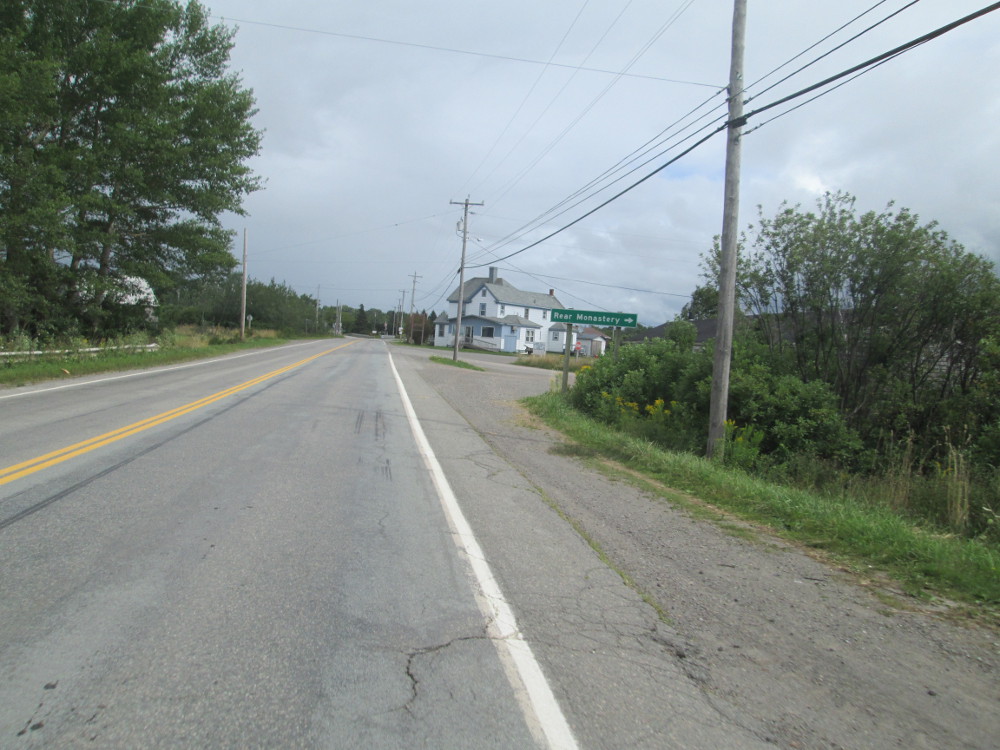
Just before Linwood and the Hyclass Ocean Campground where we're staying, is the town of Monastery that does have a monastery on the same grounds as many former monasteries who's history started in 1825. Currently, the monastery is run by the Monks of St. Maron, an east-European sect. It's just to the right about 300 metres after the tour goes under Highway 104 on Highway 4. The actual building is hidden by trees, and, a small hill. There is a small sign.
All the cyclists on the tour try swimming in ocean at the day's destination, Hyclass Ocean Campground. I get a headache immediately when I stick my head under the water. The short swim is refreshing none the less. The campsite is great, being off the highway, scenic and quiet.
Laura and myself stretch a bit in evening. We do some yoga stretches, but without any lying down stretches as ground is quite wet. I do Krojo's 5 minute morning stretching to start.
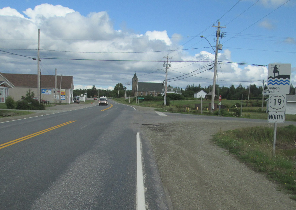
The route: Very early on today, the tour goes across the Canso Causeway to Cape Breton Island. The tour then follows the western shore of the Island to Cape Breton Highlands National Park in Cheticamp.
The Canso Causeway crosses the Strait of Canso to Cape Breton Island from mainland Nova Scotia. It was completed in 1955. Cape Breton Island had a 4.4% decline of population between census of 2006 and 2011.
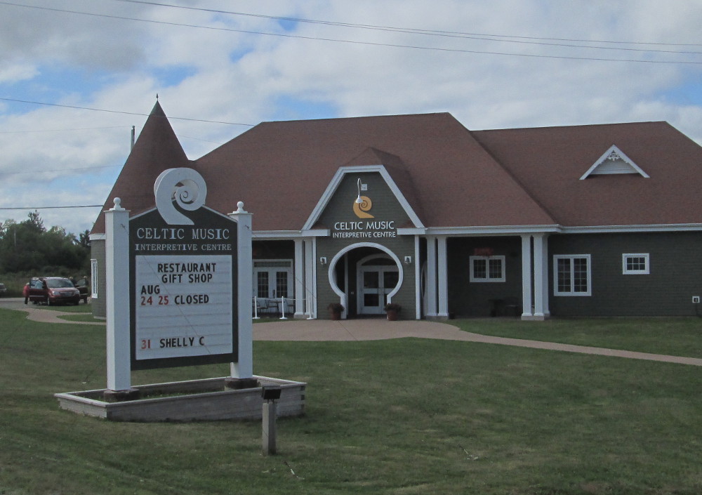
Celtic music thrives along our route on Cape Breton Island today through Inverness County. I stop at the Celtic Music Interpretative Centre in Judique but lack time to actually go in and stay for long. Judique is an old Scottish settlement that was started in 1775 when, according to legend, poet and sea captain Michael mor MacDonald spent the winter there when the ice prevented his ship from leaving. Judique was the first Scottish settlement in the area.
Two elderly couples do go into the Celtic Music Interpretative Centre, at about the same time that I do and, unlike myself, they stay for awhile. Maybe some other time for myself? Today we're busy, being slated for 100 miles on the bike – 160 km – that will take a while in this hilly, scenic country particularly if one takes lots of pictures and takes time to appreciate the fantastic scenery. Today's route is hillier than expected and goes through many small towns. The weather is great most of the time, being sunny with a few clouds, but there's an occasional downpour. Today's plan sounds like a good way to wear off the 9 eggs and 4 sausages that I ate for breakfast?
Buddy McMaster is part of Judique's history. He was one of the most renowned players of Cape Breton fiddle music. His family moved back to Cape Breton when he was 4 years old in 1928 and settled in Judique. Buddy is the uncle of Natalie MacMaster. Buddy played music during his teenage years, then worked for the CNR railroad for many years, and later became famous after retiring in 1988. He led a Gaelic renaissance.
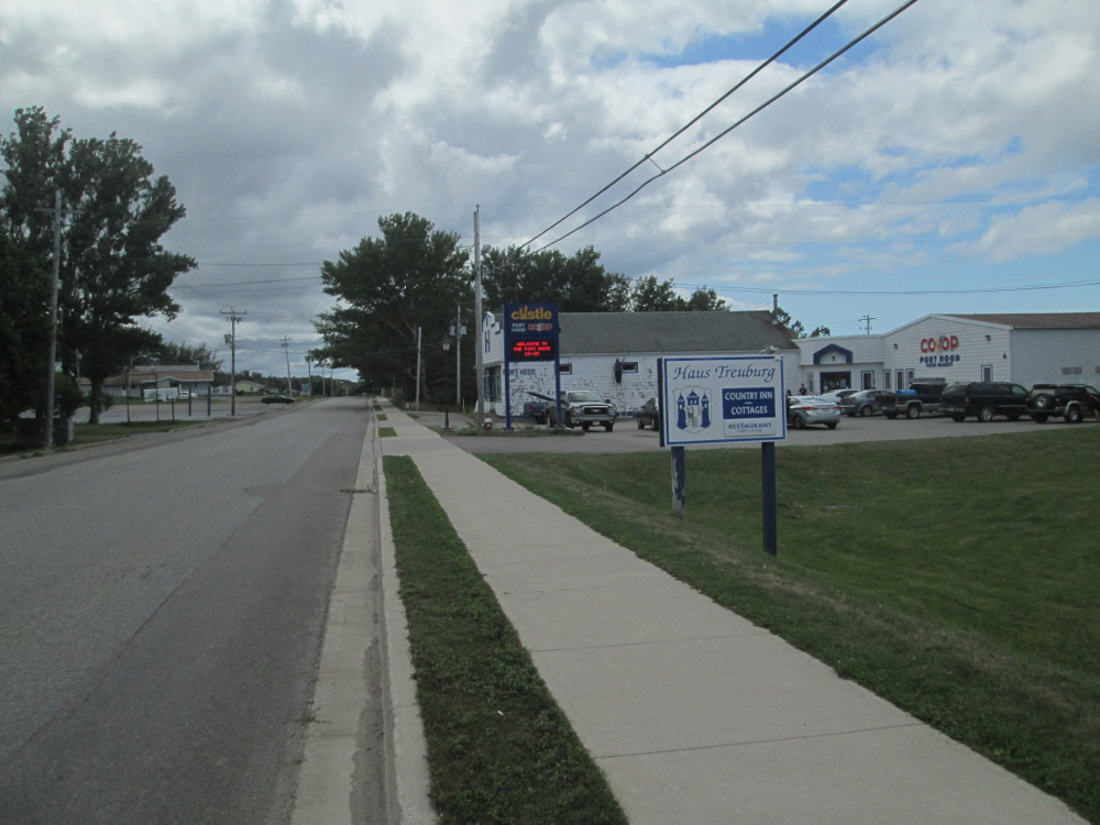
Port Hood centres around farming, fishing, and being a bedroom community for Port Hawkesbury. I stop at the Co-Op and buy some chocolate milk to drink. I talk to some people outside the Co-op in the parking lot, about the best route to take from town. I take High Road as a result. It is higher than Main Street so there are some good views of the ocean looking over Main Street.
Inverness had prosperous coal mines about a century ago. The last one closed in 1990. It's economy is now based on fishing, tourism, and a harness racing track, the Inverness Raceway.
Cheticamp is just before the entrance to Cape Breton Highlands National Park. It has the largest Francophone community on Cape Breton Island. The traffic is heavier near Cheticamp. The name Cheticamp finds its origins in Micmac words for “rarely full.”
I get to ride the Cycle Canada truck again today. Mr. Chris drives back 60 km and picks me up when my bicycle has a major breakdown. We then stop many times and look at the scenic sites on our way to camp. Chris likes it, too, since earlier in the day, when he was last here, there was pouring rain, and he could see very little. There are many more wonderful views now that the sun has come out from behind the clouds and the precipitation has stopped.
|
|
|
|
|
|
|
|
|
|
|
|
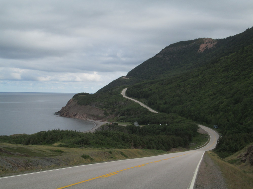
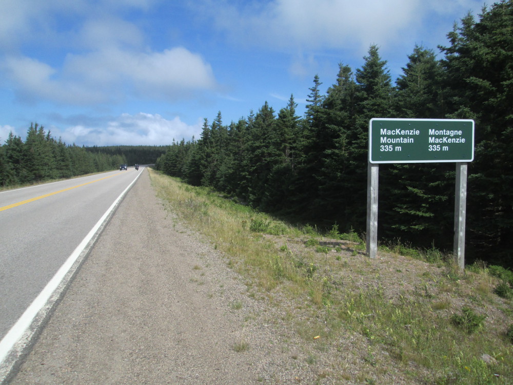
The route: The route goes around the Cabot Trail, in a clockwise direction, from Cheticamp to Dingwall. It goes up and over 3 mountains: French Mountain, MacKenzie Mountain, and North Mountain.
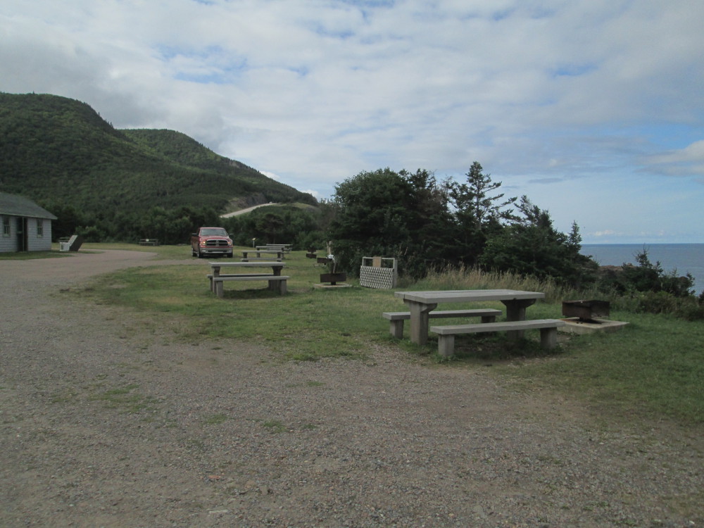
Early on, I find Corney Brook campground where I stayed on a prior trip. It's right on the seashore; right on the Gulf of St. Lawrence. It's the prior site of the Acadian settlement of La Rivière à Lazare, before 1936 when Cape Breton Highlands National Park was established. I remember it was very windy the night that I stayed there on that Thanksgiving weekend, unlike the calm conditions today. My tent survived, but many others were blown down. Even my tent tried to take off when I was taking it down in the morning.
Today's weather is much different than previous days. It's much better with no rain at all: sun in the sky with a few clouds. It is a bit cooler, at times, though.
The tour follows the shore of the Gulf of St. Lawrence. There's no ice to be seen today, but much of the Gulf is covered in ice 3 to 4 months each winter.
|
|
|
|
|
|
|
|
|
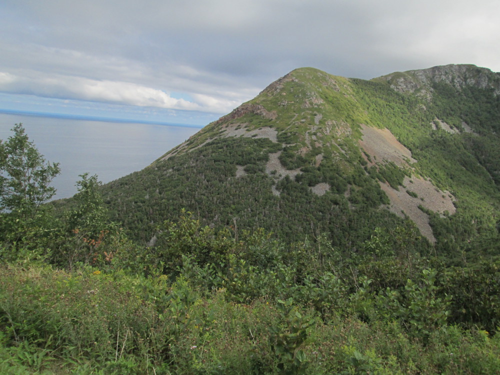
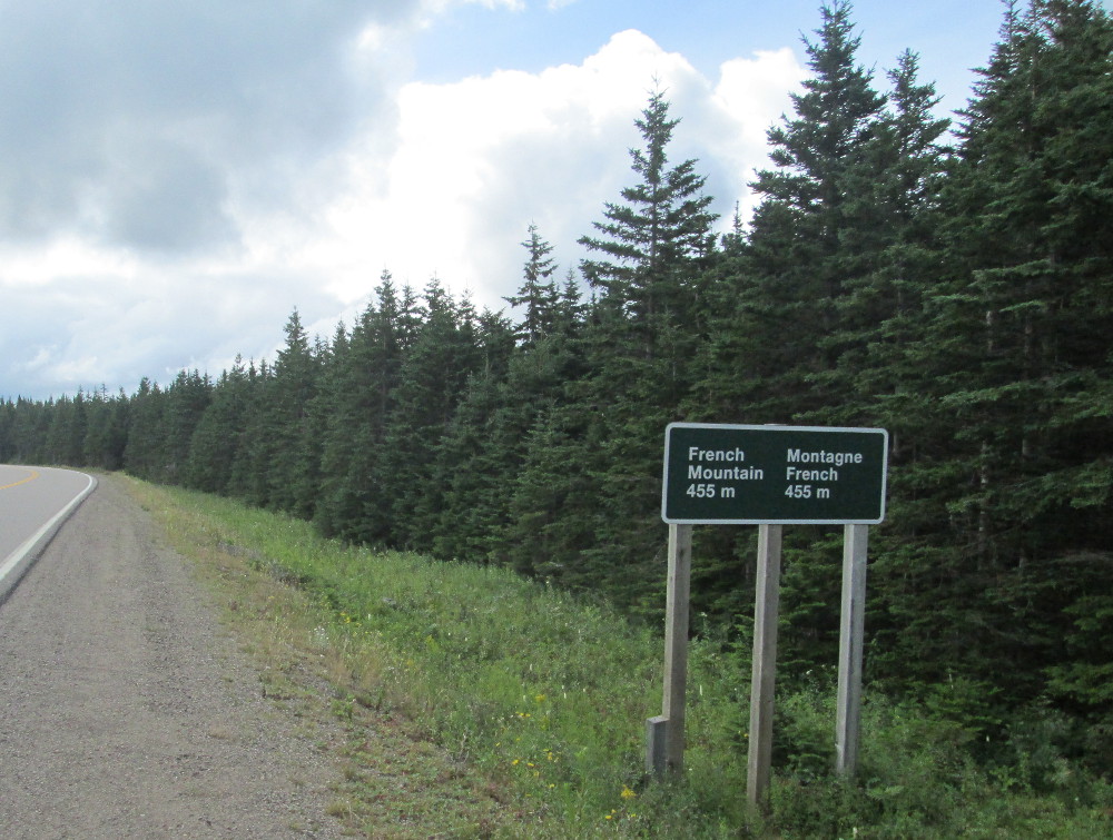
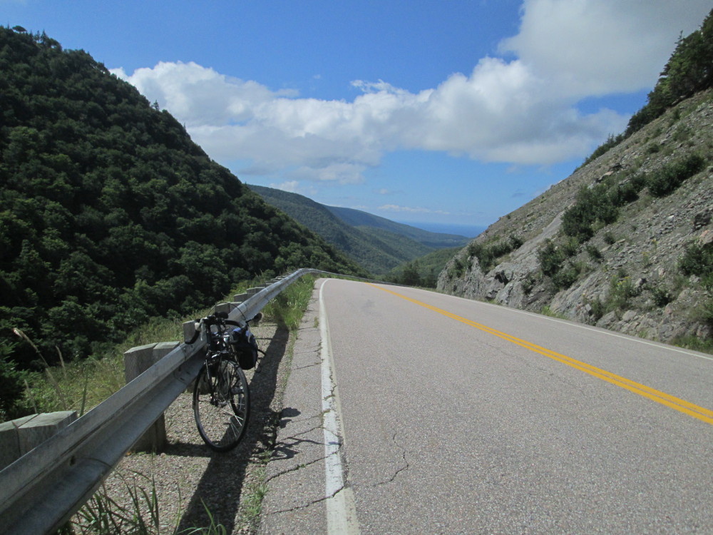
The real challenges of today start after Corney Brook. The first is French Mountain. The road goes from basically sea level to 455 metres in a very short distance. It's the first big climb in a few days ... maybe, the longest so far on this trip. I guess those 6 pieces of French toast that I had for breakfast were a god idea? The top is quite flat, almost a plateau.
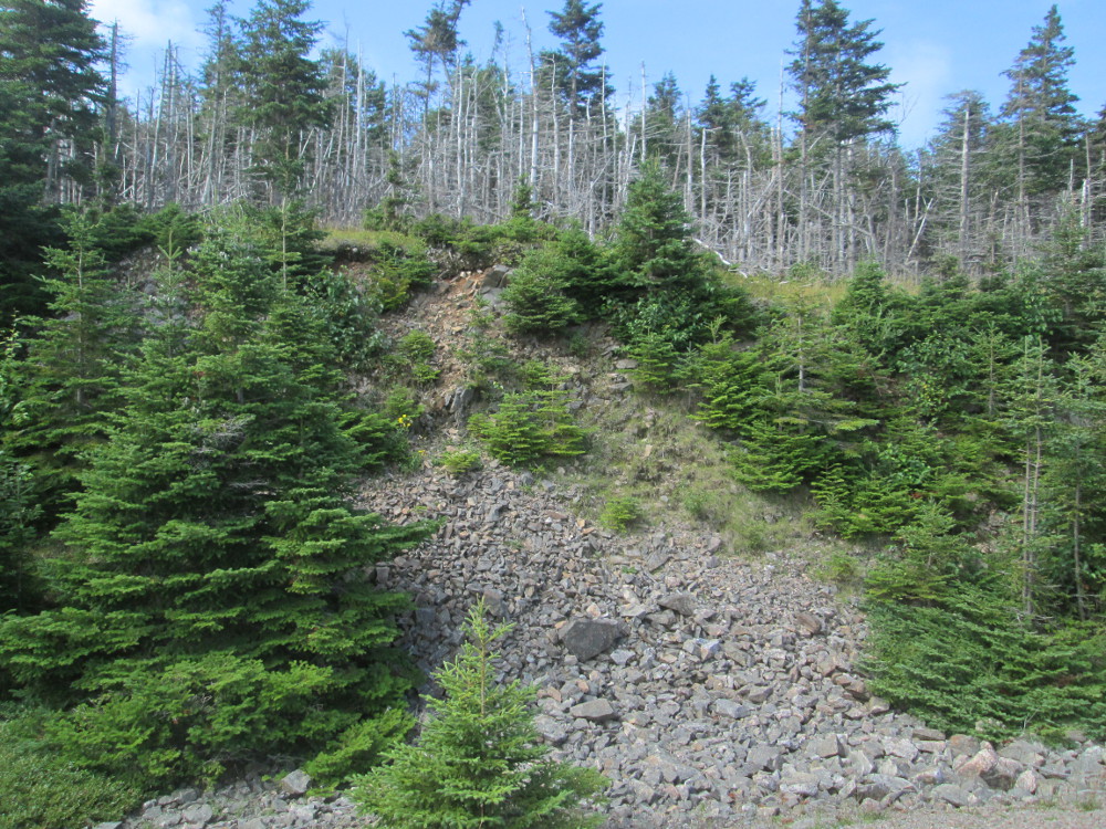
Today's climbs are due to the underlying strength of the highland plateau that's at the top. It is the oldest bedrock in Nova Scotia, and is resistant to wind and water erosion since it is composed of precambrian gneisses and schists of the George River Group, intruded in places by granites of varying ages. The projected death of these climbs is “ALMOST NEVER !”
|
|
|
|
|
|
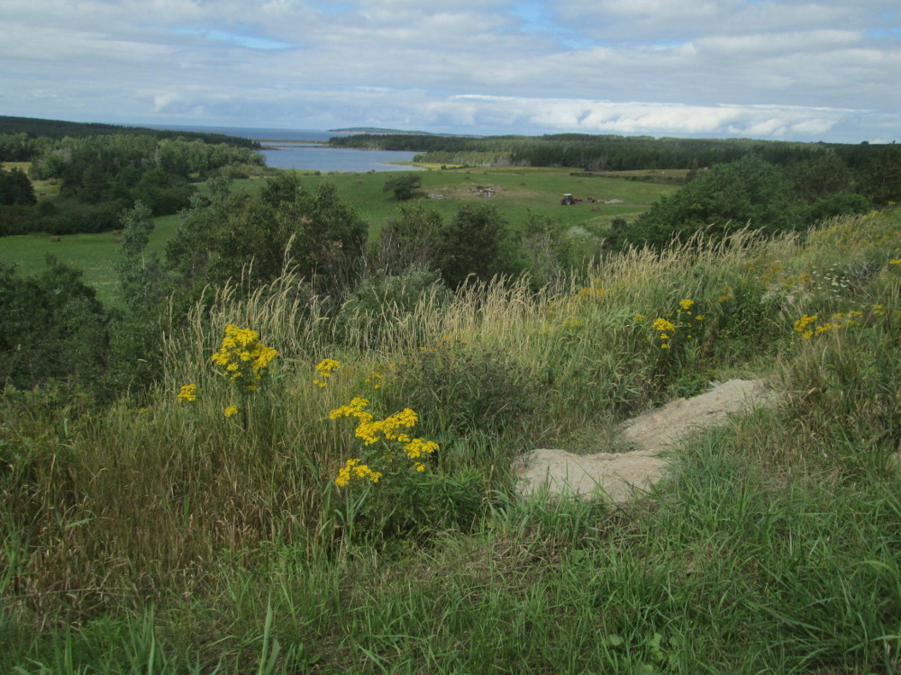
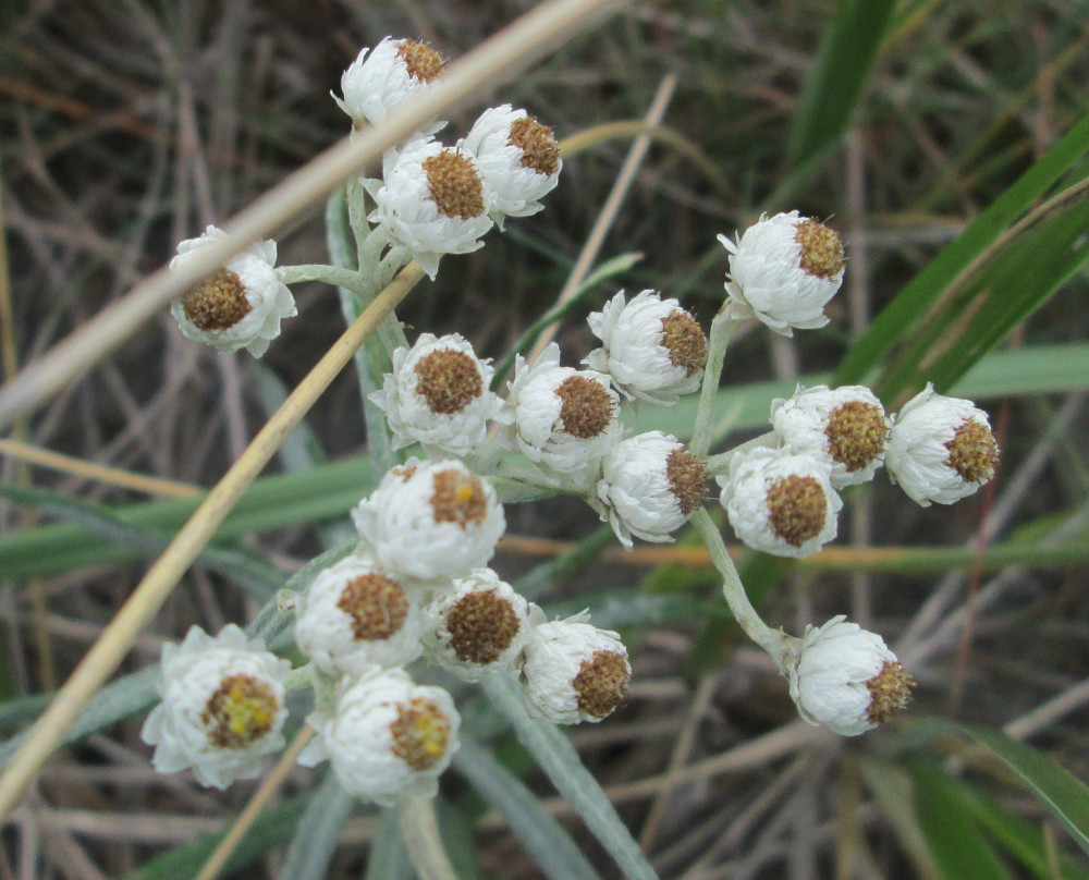
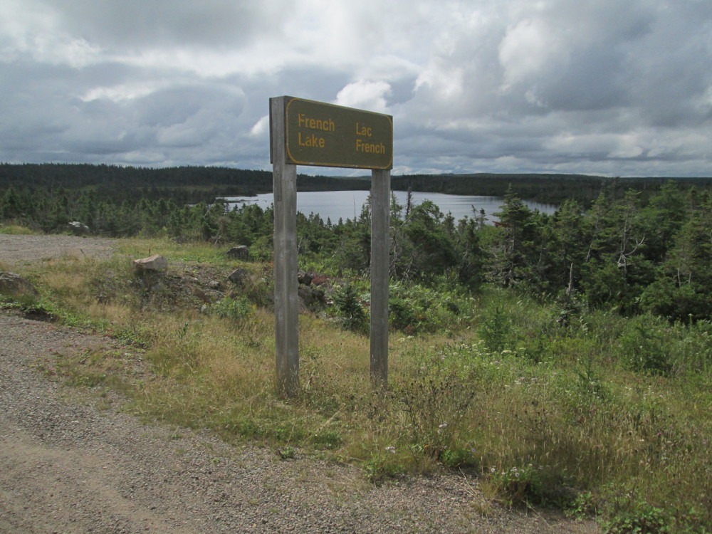
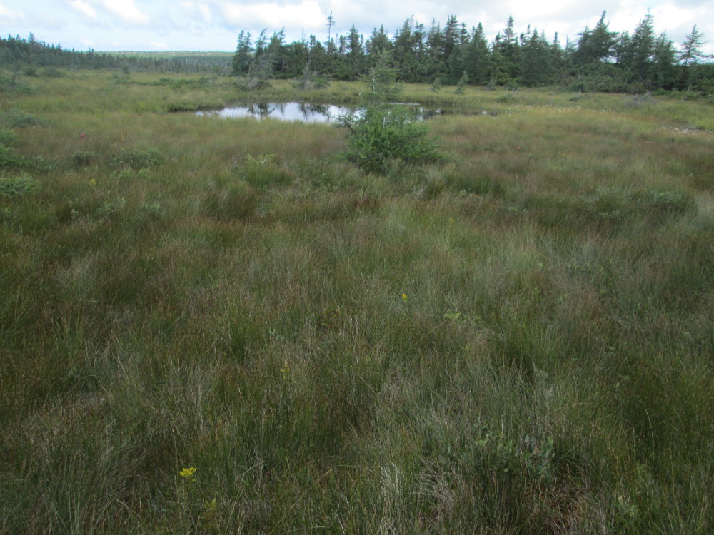
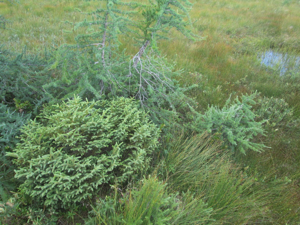
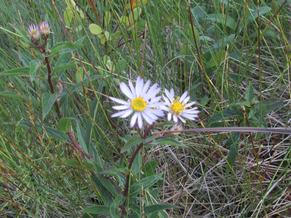
At the top of French Mountain are French Lake and the French Mountain Bog. I stop and walk the boardwalk trail through the bog that's really a slope fen since it is wet due to some underground water as well as water from the sky; whereas, a true bog only gets water from the sky. There's lots of sphagnum moss which is quite squishy, but I stay on the boardwalk. Sphagnum controls life in the bog by releasing acids that make it difficult for most other kinds of plants to live there. Sphagnum eventually decays in layers of peat. Fens are colourful places in spring with lots of orchids in bloom. Now, there are a few wild flowers.
While at the bog, I talk to a female Aussie cyclist who's eating a sandwich. She's headed the other way to our group – toward Cheticamp. She's cheery and chatty ... “just visiting in Canada, and working here on visa, for a few years just to get to know it.” She has a very small collection of gear, even though she's tenting. I'm amazed. She's found the local people to be quite friendly and helpful. She's taking a slower route than our group, doing just one big hill a day. Today, we have two big ones: French Mountain and North Mountain. She stops more often like today when she plans on doing the Skyline Trail.
|
|
|
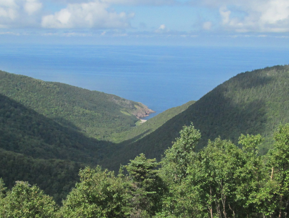
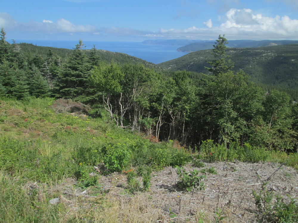
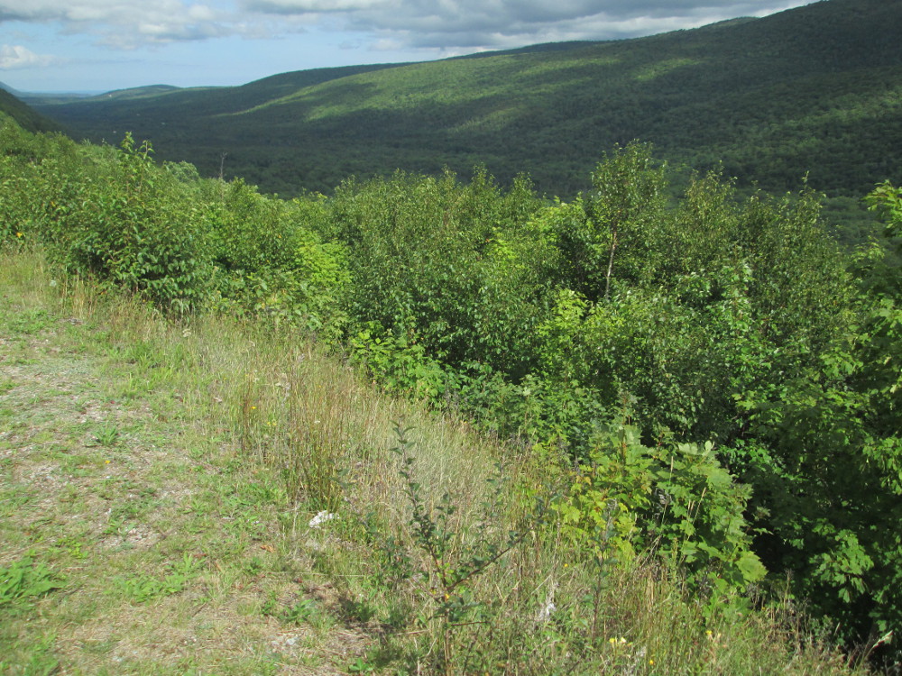
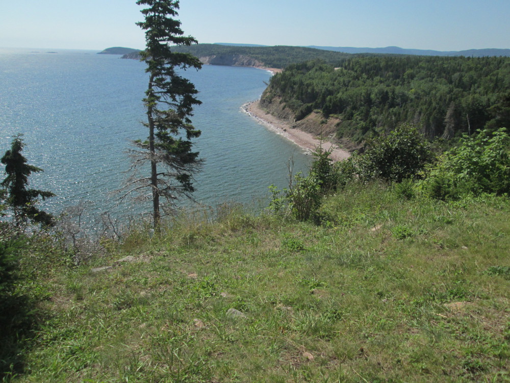
The road continues to be at the height of the highland plateau. One viewpoint looks toward Fishing Cove way down below beside the sea. Fishing Cove is the site of a former isolated, self-sustaining Scottish fishing and farming village – it's the small bay in the middle of my picture. There's a 8 km hiking trail to Fishing cove now; no roads!
The climb to MacKenzie mountain is almost free. It and French Mountain are part of the same plateau, the highland plateau, with no major loss of elevation between them.
|
|
|
|
|
|
|
|
|
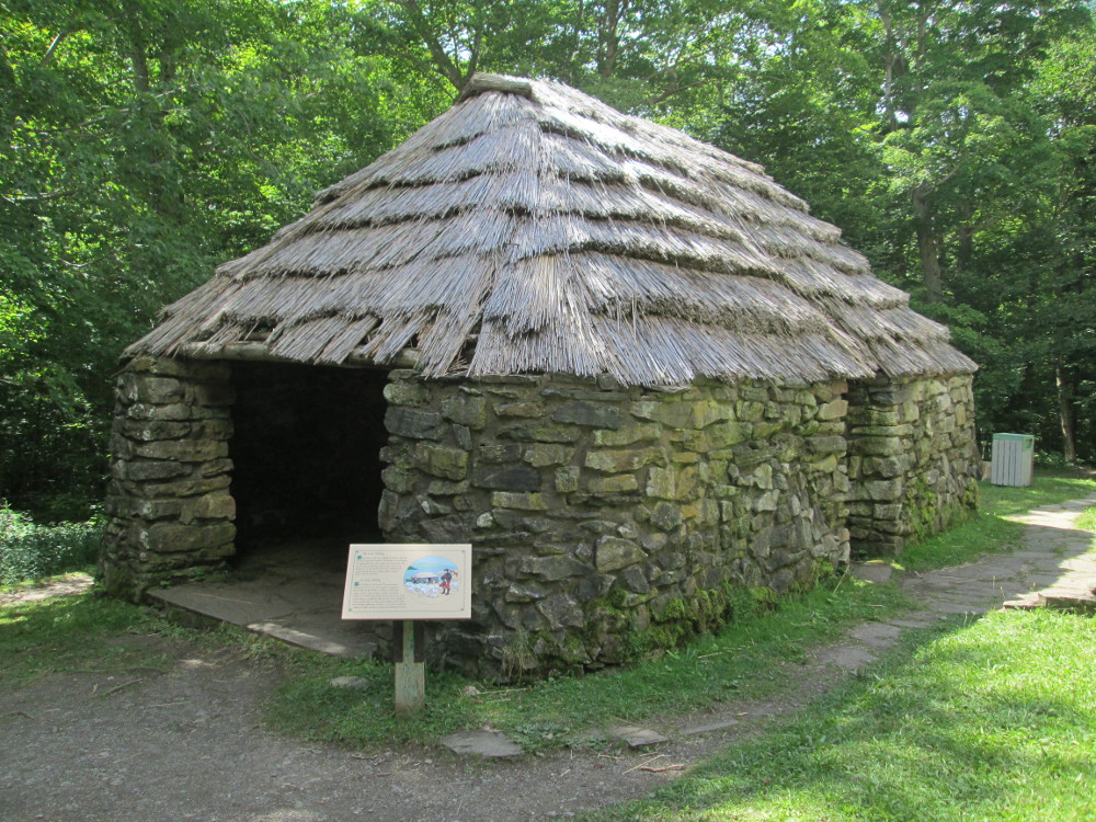
The route goes down to sea-level after MacKenzie Mountain. I stop at the store in Pleasant Bay. There are a few small resorts there, too. Shortly after Pleasant Bay, I see this thatch covered building in a park at the edge of the road. I must stop and investigate, as I do. The building is known as The Lone Shieling. It is a memorial to the Scottish immigrants who originally populated this area. It is constructed like other Shielings in the western highlands of Scotland where a crofter and his animals could seek shelter, filling the open end with peat sods during storms. The Lone Shieling is constructed as instructed in the will of Professor Donald S. MacIntosh who died in 1934 and gave the province 100 acres for a park
Today's last big challenge is North Mountain. I think it's a more difficult climb than that to French Mountain earlier today. I stop and rest a bit half way up, then power up the rest of the climb.
|
|
|
|
|
|
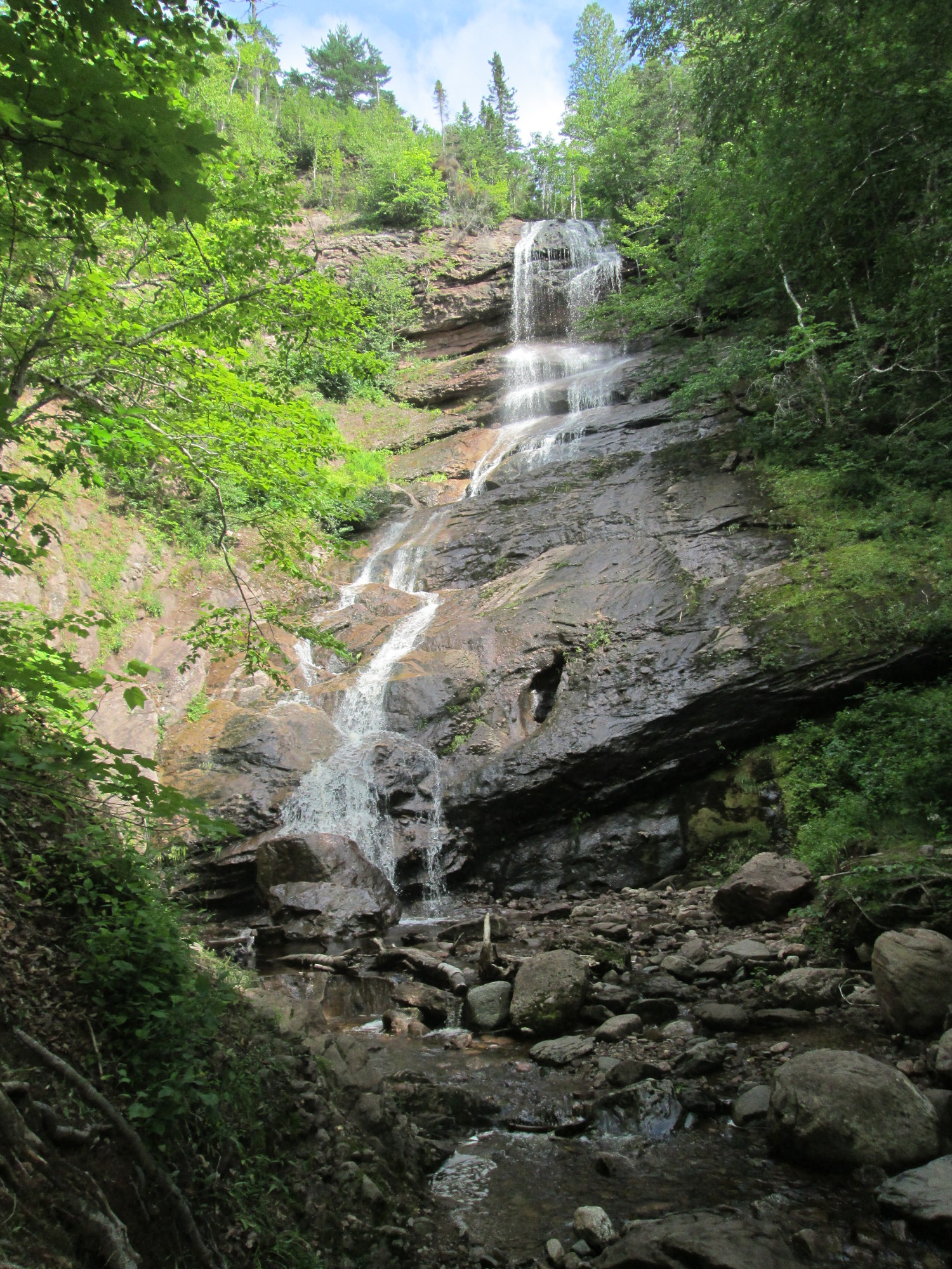
There are several look-out stops as the road descends from North Mountain. At least one of these has panels telling about Beulach Ban Waterfall. It points to the Waterfall in the distance where one can sort of make it out as a bit bigger than a dot. I want to see it some more. I am in luck. When I have completely descended and almost left National Park, I see a very small sign for Beulach Ban Waterfall trail. I ponder that the pictures of the Waterfall were great; I wonder what it looks like? The sign says 2 km of road to the Waterfall. I decide to take this road. Well, it's more like a country lane that goes up and down 20 degree slopes, at times. There are potholes and mushy spots. I'm forced to walk one of the hills on the way back due to the number of ruts going every which way. But, this side trip is the best I've taken in quite some time. The falls are even prettier than my picture shows. Being there is like feeling life's rhythm for yet another moment. It's cool and refreshing too.
|
|
|
|
|
|
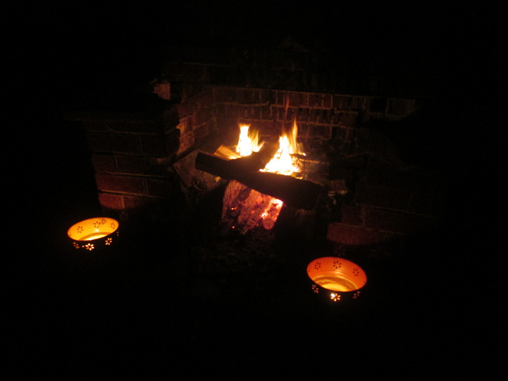
Again, this evening, the campsite has amazing views. We top off our camping experience with a real fire in a real fireplace.
|
|
|
|
|
|
The route: The last day of the tour continues on the Cabot Trail up and over Cape Smokey, has a short, 125 metre, cable ferry, The Englishtown Ferry, across St. Anns Bay in Victoria County, and ends in Baddeck.
Today's trip is through Victoria County, Nova Scotia. Wikipedia tells a bit about the county... Our destination, Baddeck, is the shire town and largest municipality. The county's population has slowly declined more than 10% over the last ten years and has also aged, with all age groups under the age of 65 experiencing net out-migration. Half of the county's labour force does not have a high school diploma, and only 5% have college educations. 71% of the workforce is employed in the services sector. An additional 18% are employed in the primary resources industry, a category that includes both forestry and fishing. Just 11% are employed in manufacturing, less than half of the levels seen in the 1960s.
I choose to follow the Coastal Route road through Smelt Brook, New Haven, and Neils Harbour; the other cyclists on the tour continue on the main road of the Cabot Trail. The Coastal Route is very scenic with lots of views of the ocean. The terrain of the Coastal Route basically follows the land so has a few hills with 20 degree slopes. There may be 5 of these! I get up these by standing in first gear which is rather low on my bicycle that has a 0.9 gear ratio with 26 cogs on the front and 28 on the rear. The Coastal Route takes me about 2 and a half times longer to complete than the other cyclists take on the Cabot Trail. But, I get lots of great pictures, ride on a traffic free road, and get more into-the-land that I would by just taking the easy option of the Cabot Trail – an extra adventure, eh? Maybe 5 cars pass me in all my time on the Coastal Route road. Those steep 20% slopes work off my huge breakfast: 16 small pancakes or 4 sauce pans full !
This area was settled in the 1800s. The earliest European settlers to South Harbour were English, Scottish, and Irish, who arrived around 1830. The earliest land grantees settled in 1881. South Harbour had it's first schoolhouse in 1883. Neil’s Harbour may have been originally settled by the French. Neil's Harbour is named after Neil McLennan. The first school in Neil’s Harbour was constructed in 1878. There are a few cottages and summer homes in Neil's Harbour, but most residents work locally in the lobster, crab, and fishing industry. The residents of the other towns that I pass through have similar employment prospects. There is a hospital, Buchanan Memorial Hospital, at the junction of the Cabot Trail and the Coastal Route in Neils Harbour, and a Junior-Senior high school with an enrolment of 235 students.
|
|
|
|
|
|
|
|
|
|
|
|
|
|
|
|
|
|
|
|
|
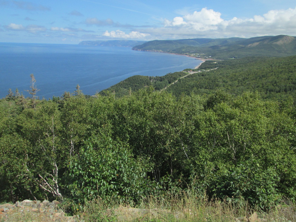
The route continues on the Cabot Trail through Cape Breton Highlands National Park. There are a number of beaches and coves along this part and few houses.
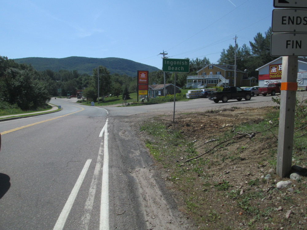
Just before the exit, the park is in a more civilized area near Ingonish that is 16 km long and actually consists of 5 towns: North Ingonish, Ingonish Centre, Ingonish Beach, Ingonish Harbour, and Ingonish Ferry. The major industries are fishing and tourism.
The luxuries of Ingonish include the Keltic Lodge resort, the highly rated golf course of Highlands Links, and Cape Smokey skiing. Highlands Links is an 18-hole golf course that was designed by the famous golf course designer Stanley Thompson. Golf Magazine ranks it as one of the top 100 courses in the world, and the best public course in Canada. The course is also a nature preserve that is certified by the Audubon Cooperative Sanctuary Program for golf courses. It smells luxurious when I ride by.
In the last couple of kilometres of this part of the Cabot Trail in Ingonish, near the exit of Cape Breton Highlands National Park, there is a paved shoulder on the road that is marked for bicycle travel. What a luxury! I guess I am safer for a bit in this short part of today's travel? But, riding in Nova Scotia is great most of the time as the car drivers in Nova Scotia are really courteous to bicycles.
|
|
|
|
|
|
|
|
|
|
|
|
|
|
|
|
|
|
|
|
|
|
|
|
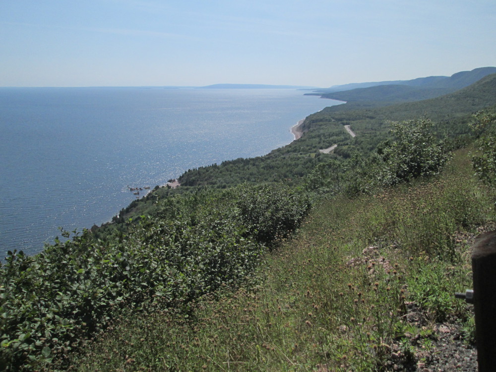
After Ingonish the road heads upwards to go over Cape Smokey mountain. At the top is Cape Smokey Provincial Park . I take the short dirt road to the lookout area that is a few hundred metres above the ocean. There are great views. I take some pictures.
|
|
|
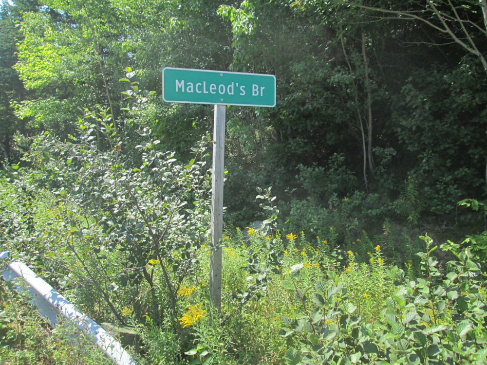
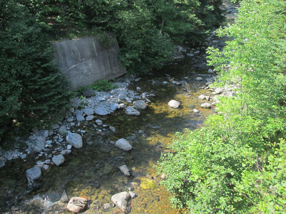
After Cape Smokey the Cabot Trail goes across many small brooks, rivers, and streams. There's a sign for each one. I stop at MacLead Brook and take some pictures since MacLeod is the last name of my grandmother, and some ancient relatives, with her last name, lived in Cape Breton at one point? Perhaps they named this brook?
|
|
|
|
|
|
|
|
|
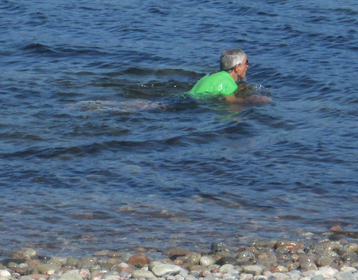
After a bit, at River Bennett in Indian Brook, the Cabot Trail goes off to the right and the tour continues straight ahead on highway 312. There's soon a sign for Jersey Cove. I stop for a swim. Laura takes my picture. The water is warm for the ocean – I can put my head under without getting an instant headache.
A few hundred metres further on, at the end of the spit or sandbar, we take The Englishtown Ferry. It is a short, 125 metre, cable ferry, across St. Anns Bay to Englishtown. The latter has a lengthy history that includes being a French fishing port in 1597.
Englishtown is famous for being the home town of the giant Angus MacAskill. He moved here at age 6. He lived from 1825 to 1863 and is buried near the cable ferry in what is known as "The Auld Cemetery." MacAskill was a true giant at 7 feet, 9 inches with a well proportioned body. There are numerous tales about his strength: lifting a ship's anchor weighing 2,800 pounds (1,300 kg) to chest height, carrying barrels weighing over 350 pounds (160 kg) apiece under each arm, lifting a hundredweight (50 kg) with two fingers and hold it at arms length for ten minutes, and lifting a full-grown horse over a 4-foot (1.2 m) fence, without breaking a sweat. In 1849 Angus MacAskill entered show business and worked for P.T. Barnum's circus. Today, in his memory, is The Giant MacAskill Museum in Englishtown .
Shortly after Englishtown, is St. Anns (Baile Anna), at the point where our route rejoins the the Cabot Trail. I see numerous signs for the Gaelic College of Celtic Arts and Crafts. The College aims to preserve the Gaelic culture of the Scottish Highlanders, who settled in the area. It is the only institution of it's kind in North America. The college teaches traditional Celtic arts including dance, music and Gaelic language. There is a Ceilidh every Wednesday evening during the summer. A Ceilidh is a traditional Gaelic social gathering, which usually involves playing Gaelic folk music and dancing.
|
|
|
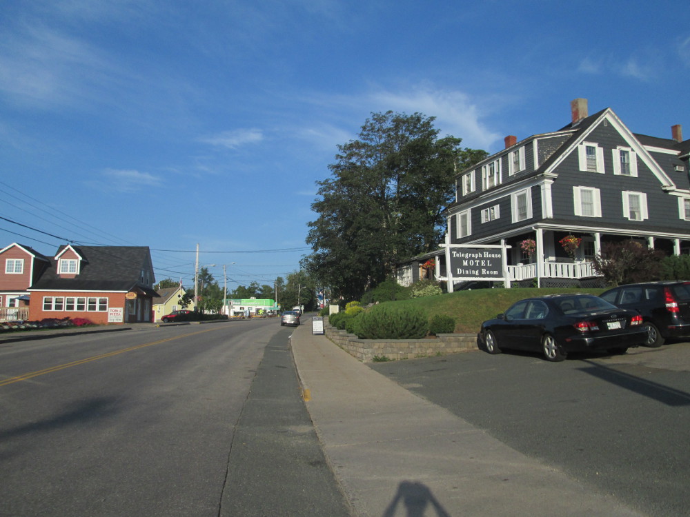
Now, I focus on the end, getting to Baddeck. It's less than an hour away. The village of Baddeck started in 1839 and became a tourist destination (for the well off) in 1874 due to a travel story written by Charles Dudley Warner. Tourism became more prominent with the opening of the Cabot Trail in 1932 with Baddeck labelled as the place to start and end the loop. There are numerous stories of rich people having estates in the area over a century ago.
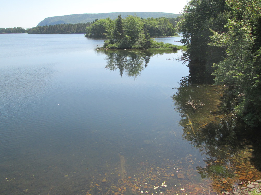
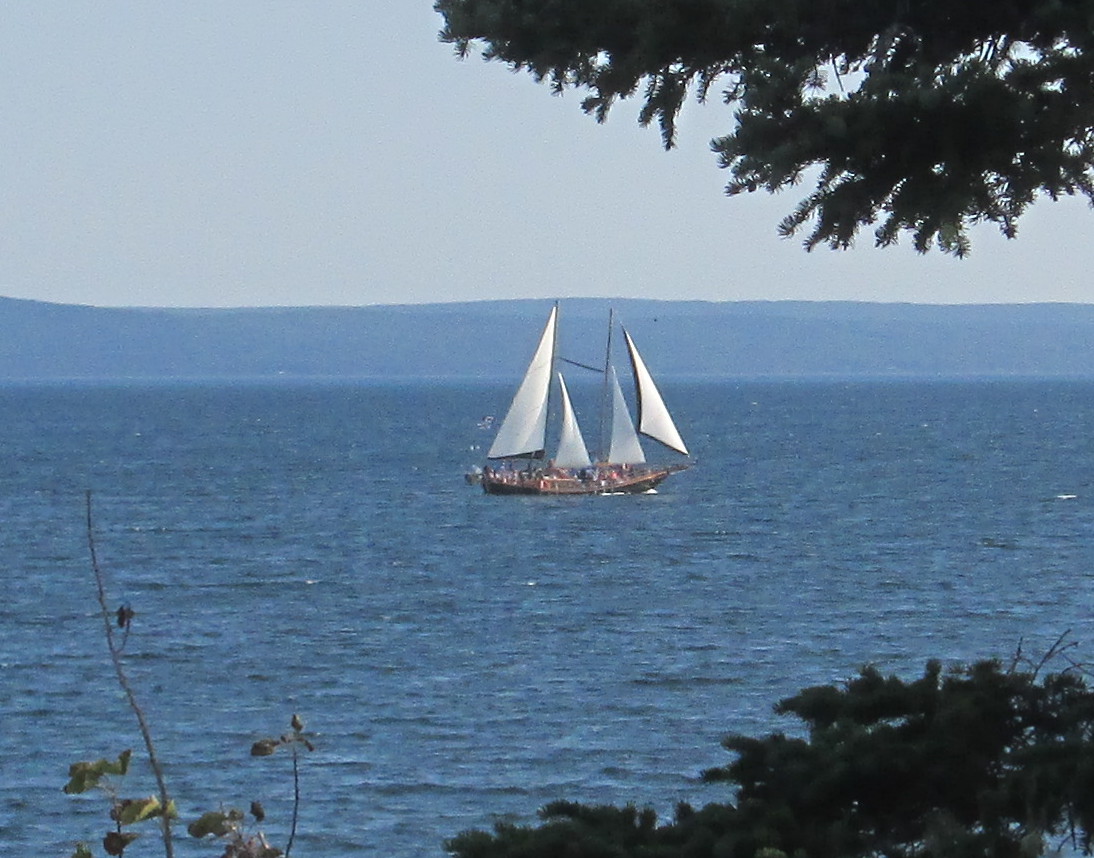
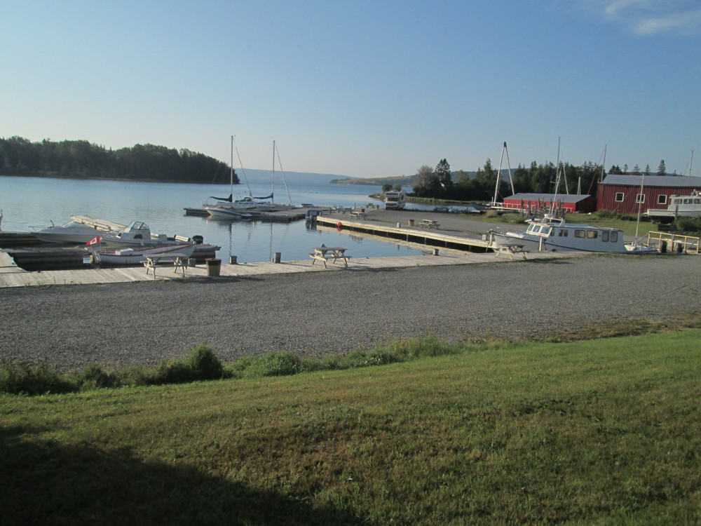
We pass Bras D'Or Lake on the way to Baddeck and see a double masted schooner. Bras D'Or Lake is known for great sailing. There are a few other sail boats out on the Lake today.
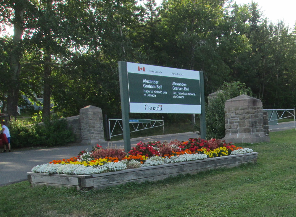
The tour also passes the Alexander Graham Bell National Historic Site. Baddeck and Bras D'Or Lake are famous for being the site of many experiments of the inventor and scientist Alexander Graham Bell after he moved here in 1886 until his death in 1922. Most famous is the Silver Dart airplane that flew off the frozen ice of Baddeck Bay in January 1909. This is the first officially recognized heavier-than-air powered flight in the British Empire. Bell's laboratory also designed a hydrofoil boat, the HD4, that set a water speed record of 71 MPH (63 knots) in 1919.
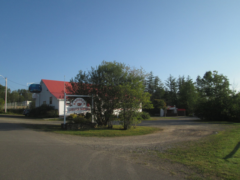
Our trip, the 2014 Tour Atlantic of Cycle Canada, concludes with a dinner at Baddeck Lobster Suppers. It is an all you can eat Lobster supper. Appetizers are muscles and chowder. The muscles taste very good, much better than at last night's campground. These are served in the shell -small pieces of muscle in large black shells. Our group starts out with 1 bucket and gets at least another half bucket. The chowder is very tasty: each piece of fish is tender. For dessert, each person in our group has ice cream plus one of apple pie, strawberry and rhubarb crisp, or carrot cake. It's all very delicious. I recommend that everyone visiting Baddeck eats at least once at Baddeck Lobster Suppers.
|
|
|
|
|
|
|
|
|