Tour Arctic Trip 2011
I'm starting this log while
looking out the window from a lounge on a BC Ferry travelling through
some islands between Port Hardy on Vancouver Island and Prince Rupert
on the mainland. All 18 of the cyclists on the tour got up at 3
o'clock this morning to catch the ferry. One fellow traveller is
sleeping beside me. I'm enjoying the view as I write this on my
Net-book.
There was a shorter ferry trip on
the first day, from Horseshoe Bay to Nanaimo. On that trip, I sat
outside in an area at the front of the boat which was sheltered from
the wind. Currently, I'm inside looking out the side of the ship as
chairs that look straight forwards are an extra $35. The view is
cloudy with occasional rain. I do see a few islands through the haze.
I'm sure it would be a fantastic view on a sunny day.
I'm currently on the second of 5
ferry trips on this trip which is planned to go from Vancouver to
Inuvik, NWT. The first part has 5 days of bicycling on Vancouver
Island. This is followed by two ferry trips amongst the islands on
the west coasts of British Columbia and Alaska, ending in Skagway.
From there we bicycle inland to Whitehorse and Dawson, along the
Klondike “Trail of 98.” The final stage of the trip is
the Dempster Highway from near Dawson to Inuvik, NWT. Two other
ferries are needed to cross the Pelly and Mackenzie Rivers on this
northern road.
I arrived in Vancouver early and
did some side trips:
Museum of Anthropology on
Sunday afternoon. It's much improved with an expansion a few years
ago. I learned about the groups who carve totem poles: Salish around
Vancouver, Musquomin on northern Vancouver Island, and Haida in
Haida Guai. It took me awhile to “get in to” MOA. My
interpretation of MOA was much improved by a guided tour that was
led by an exceptional volunteer.
|
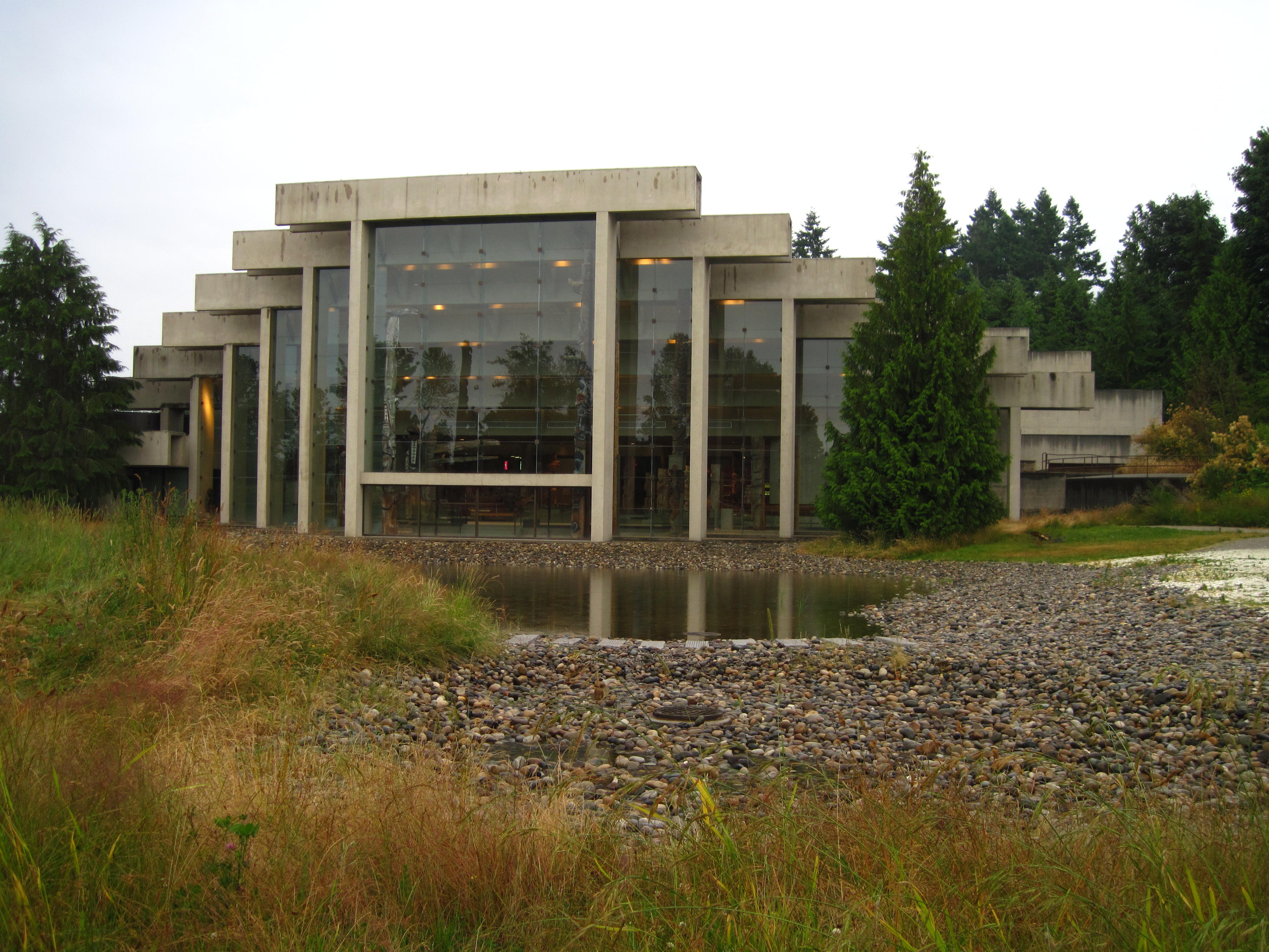
1.
Museum of Anthropology
|
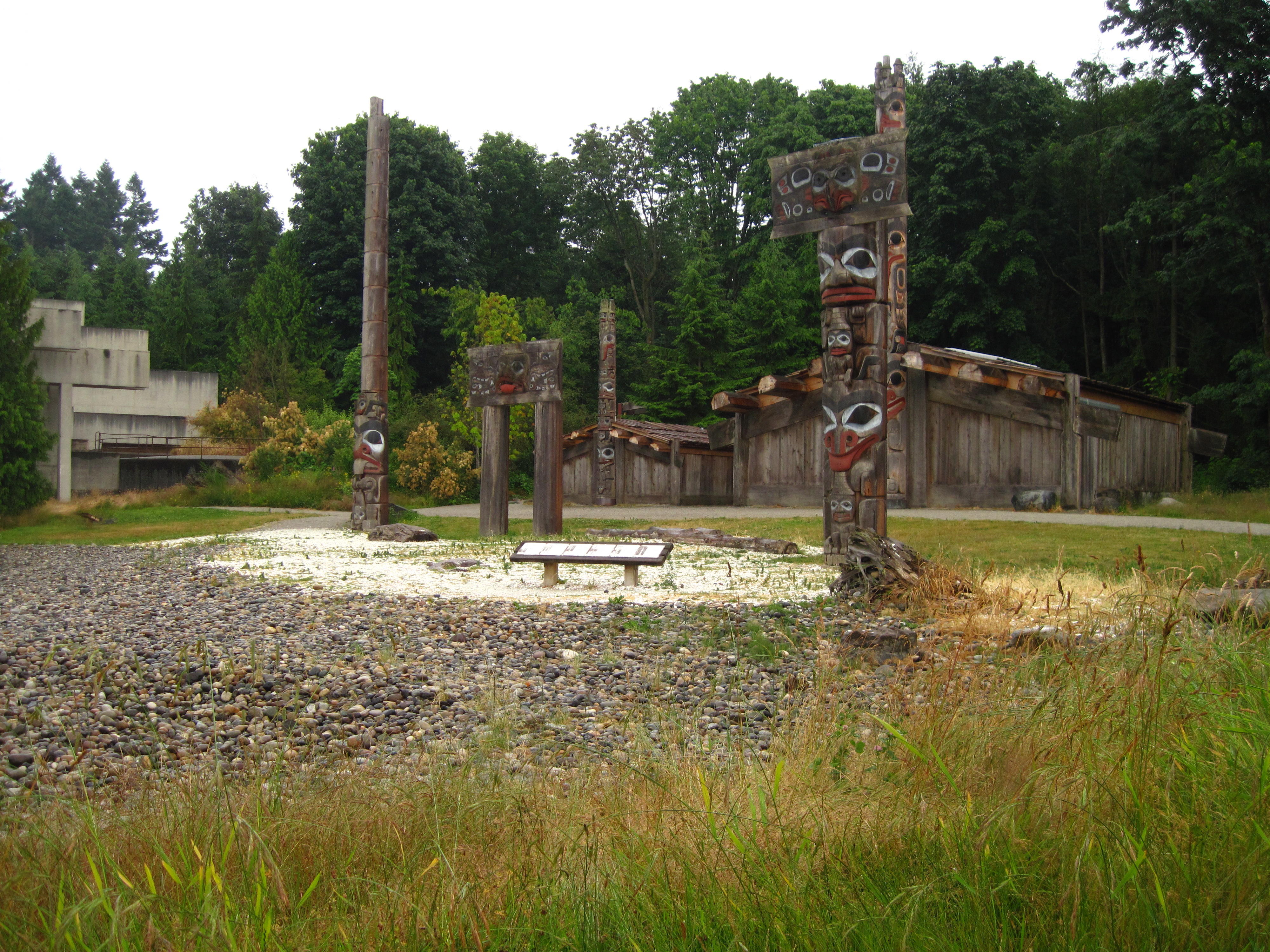
2.
Museum of Anthropology
|
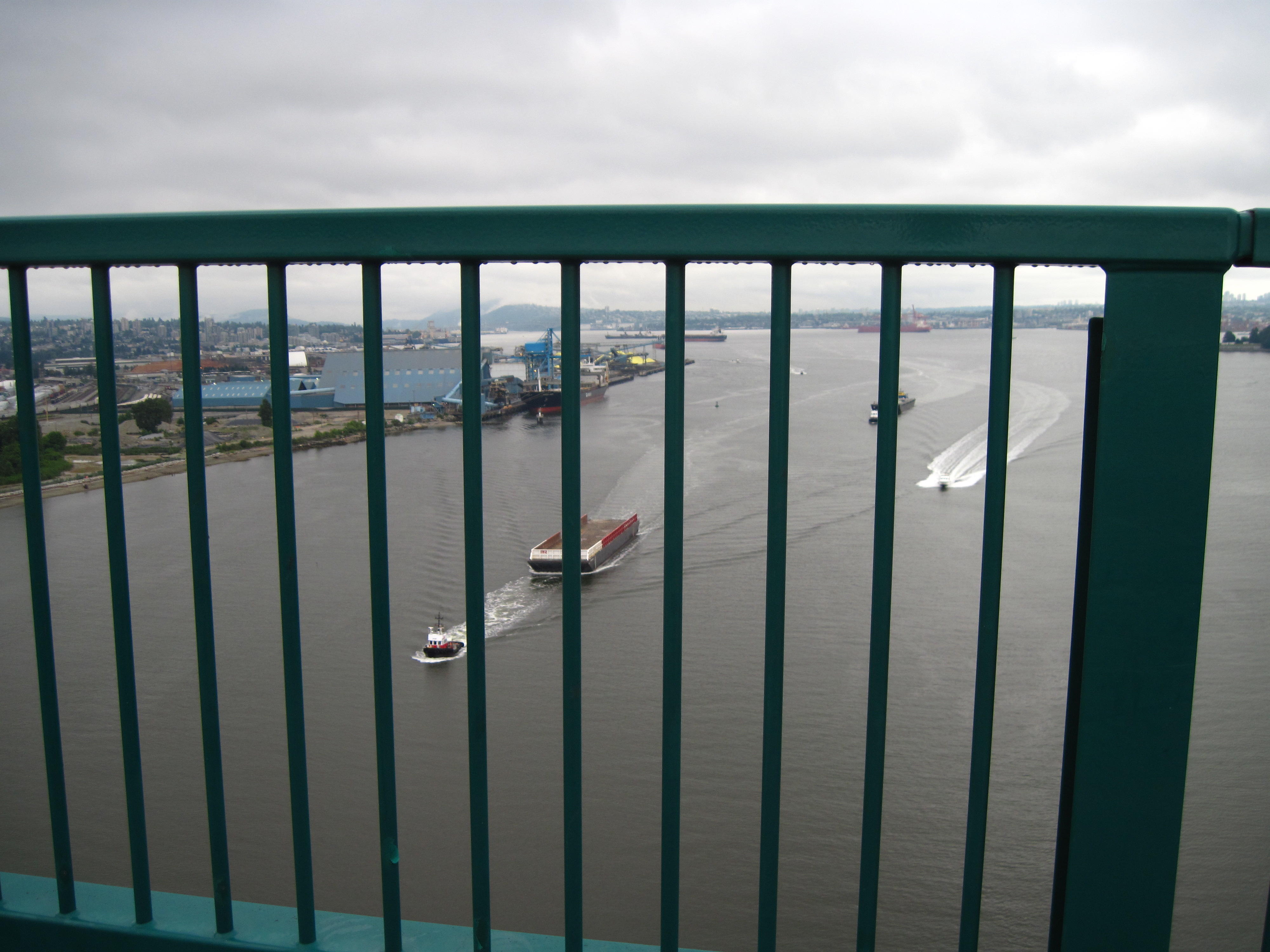
A lengthy bicycle trip on
Monday with the overall goal of seeing the swinging suspension
bridge in Lynn Valley Park in North Vancouver. The trip starts with
rides on the bicycle trails around False Creek and the sea-wall of
Stanley Park. These are just preliminary warm-ups to the big climb
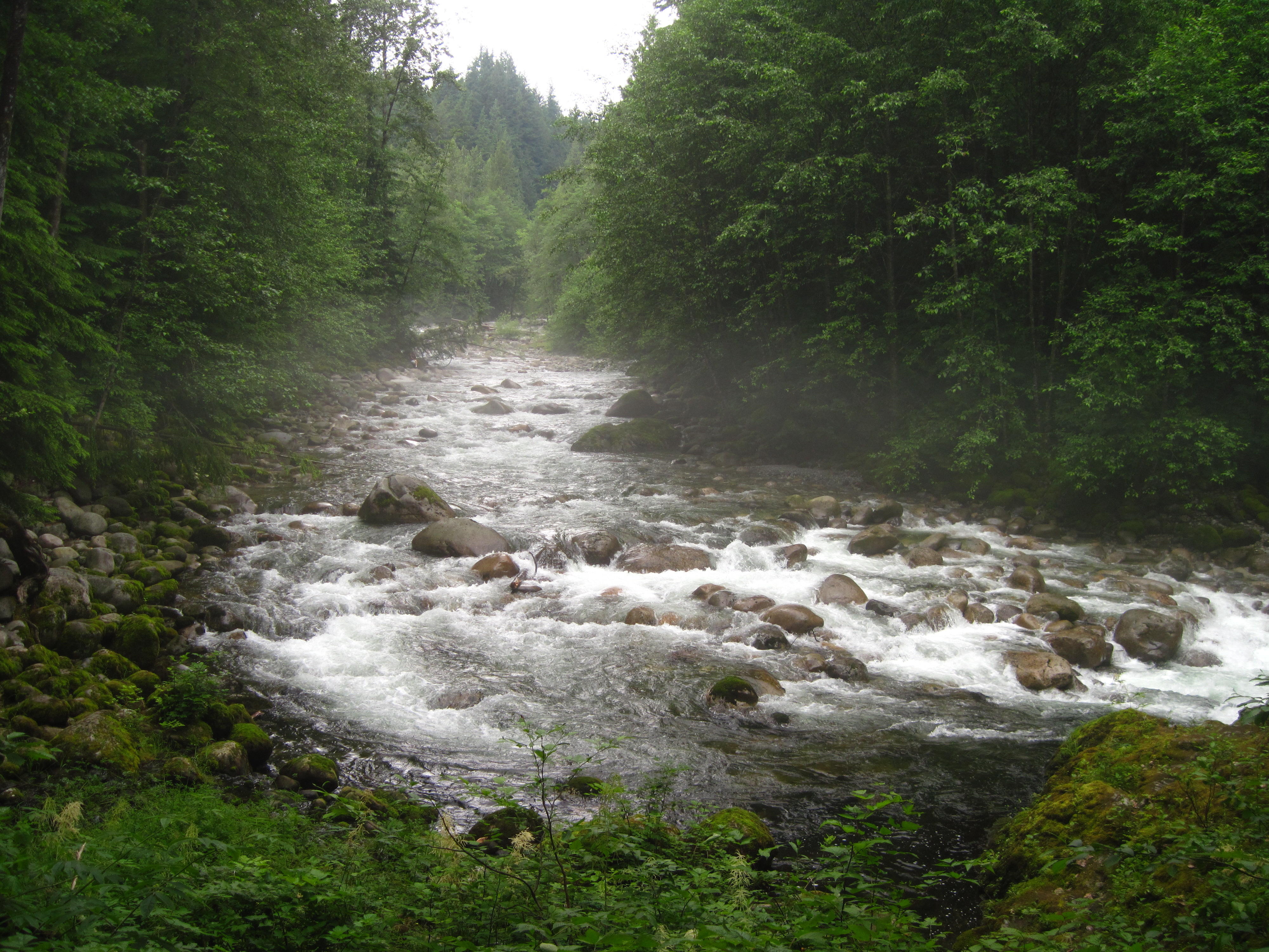
to Lynn Valley. The climb is definitely worth it – the
swinging bridge is in a gorge that I see further by taking a nature
trail that goes down into it.
|
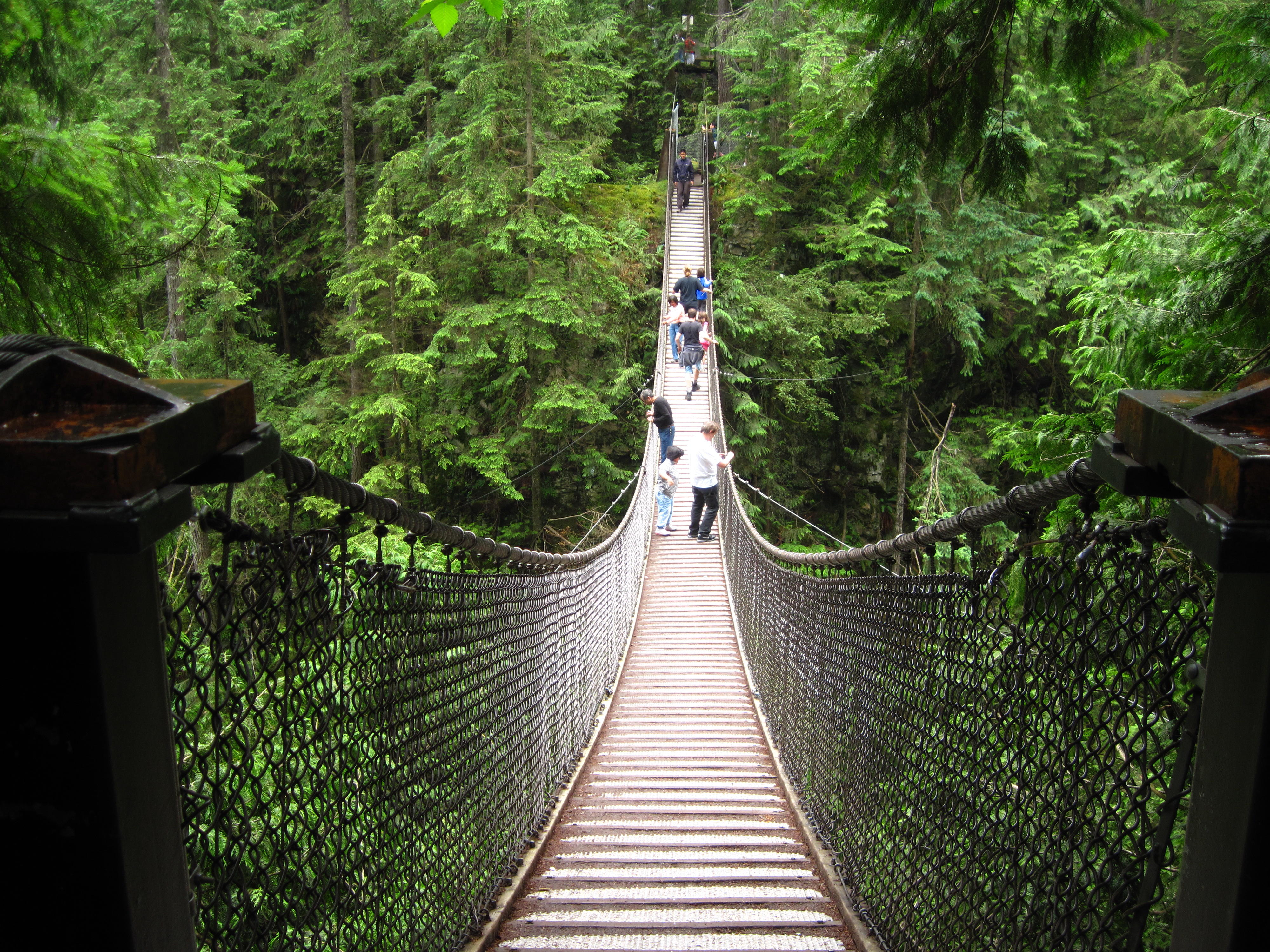
3.
Lynn Valley Park – the suspension bridge
|
4.
Lynn Valley – picture from trail down in the valley
|
A tour of downtown and
Stanley Park on Tuesday morning. This includes 3 laps of the road
route around Stanley Park. The first time, I'm a tourist who takes
pictures at prospect point, the stump of large, old tree, and a
region of the park which is now recovering from a blow-down in 2009.
The other two times I ride as if on a “training” ride,
push the pace, and manage to get up to 58 km an hour on the road
just after Prospect Point. One of these rides follows the sea wall;
the other goes through the rose gardens where I pause again to
appreciate their brilliance.
|
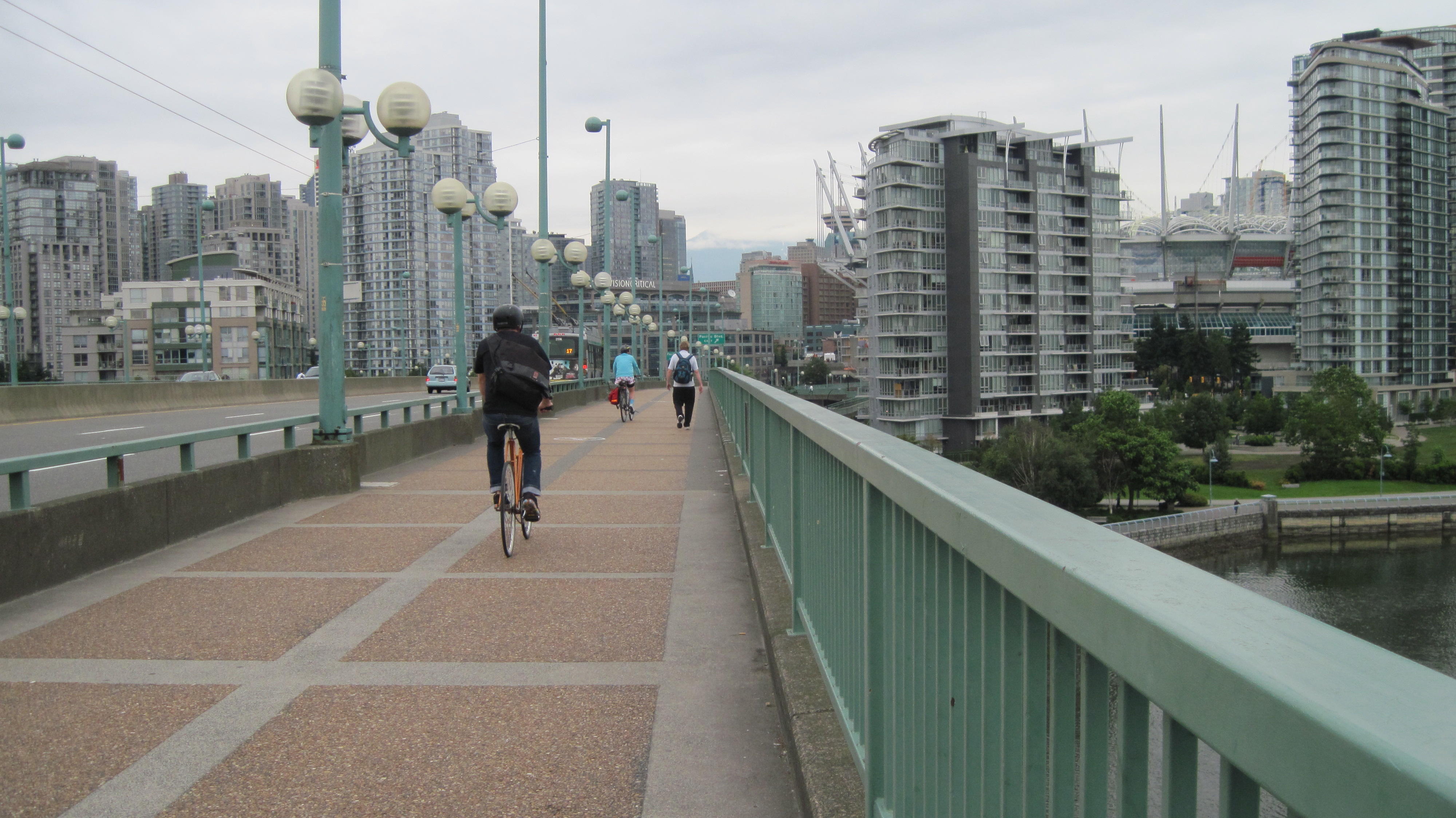
5.
Cambie bridge
|
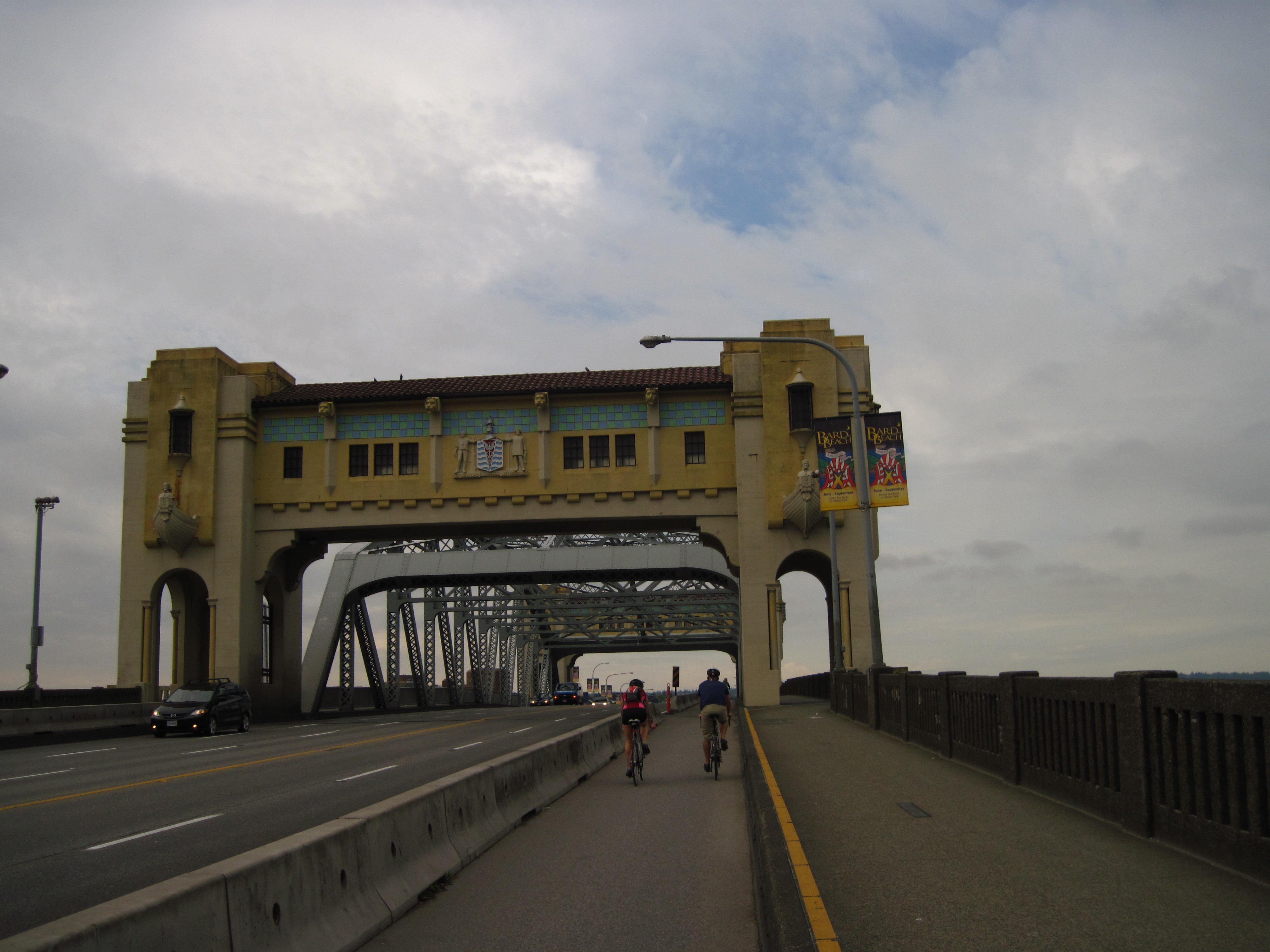
6.
Burrard bridge
|
Part 1 –
Start in Vancouver and Bicycle Vancouver Island from Nanaimo to Port
Hardy
Wednesday
Before the ferry to Nanaimo, on
Wednesday we all hustle from UBC to North Vancouver and take Marine
Drive. The ride along Marine Drive is still as wonderful as I
remember it from years ago. I take a short video to capture the
experience.
|
7.
View from Lion's Gate Bridge
|
|
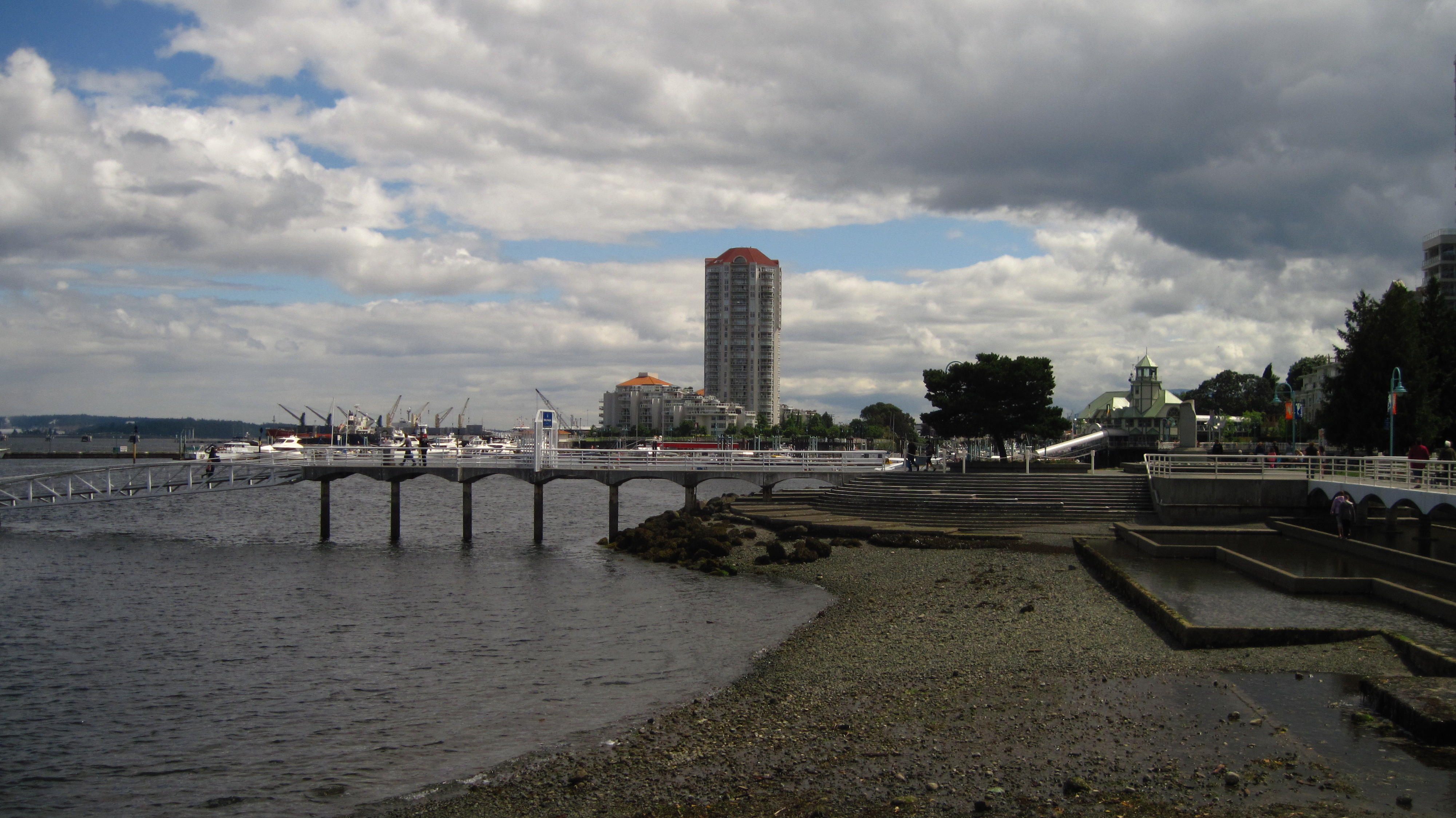
After the ferry from Nanaimo, I
go on a side trip downtown. There's a bicycle path along the
waterfront. It is crowded with people walking so I, too, walk. After
a quick snack in a local store, I start following the tour route
again on streets along the Strait of Georgia through the suburbs of
Nanaimo which lead to the old island highway that the trip follows
for the next few days.
|
8.
Nanaimo
|
9.
Nanaimo
|
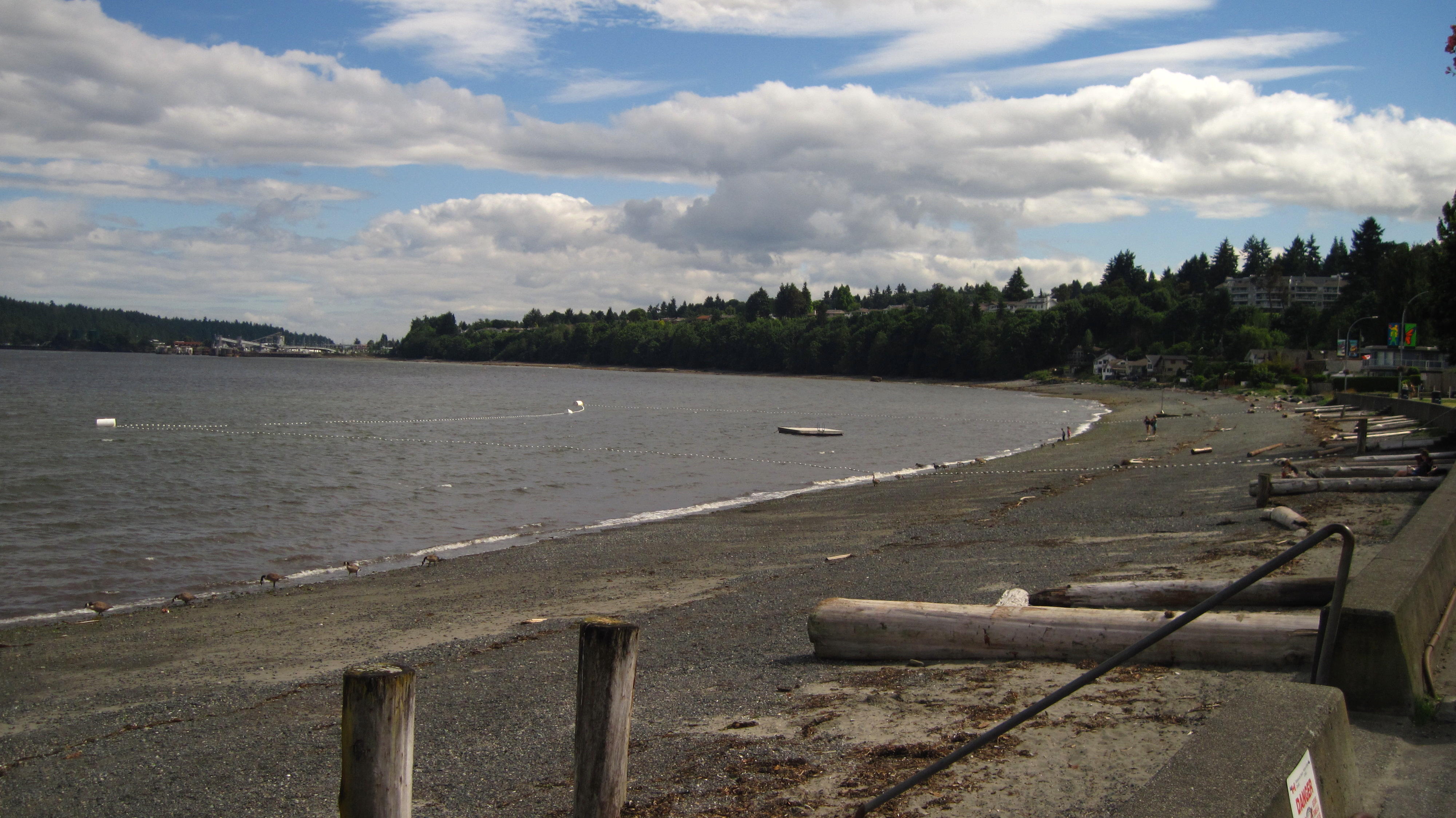
Tonight's tenting is at
Rathtrevor Beach provincial park. Signs in the park indicate that it
is a conservation area for Brant Geese who migrate through here for
points north in the spring and south in the fall. I walk around the
park in the evening to see a live owl that is being exhibited at the
Nature Centre. The barred owl is grey and a rather large bird from a
local centre for injured animals.
|
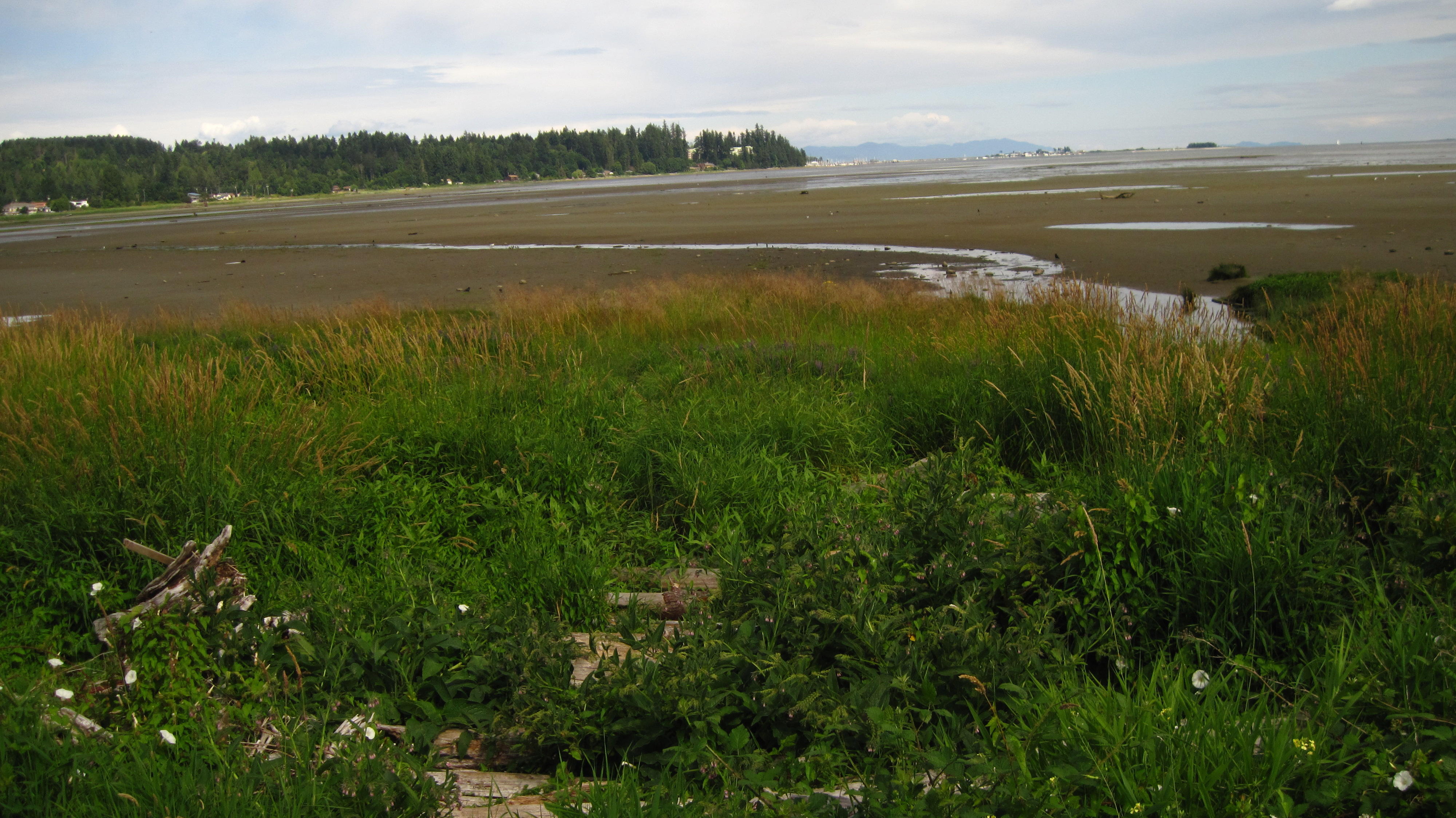
10.
Rathtrevor Beach, high tide
|
11.
Rathtrevor Beach, high tide
|
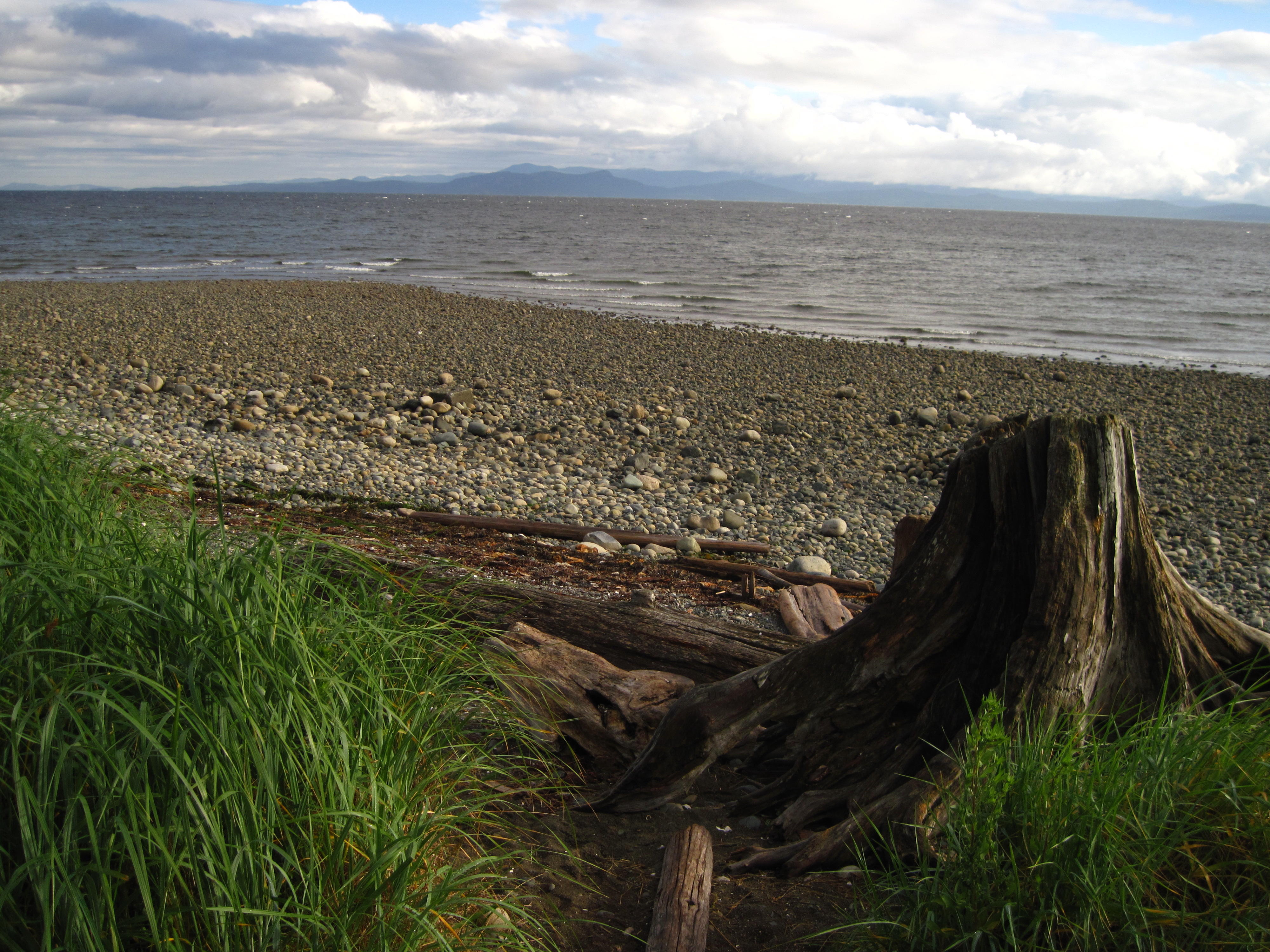
Thursday July 21
Luckily, the rain that started
about 8 pm last evening stops by early hours of the morning, and the
weather gets sunny and warm as the day progresses. My adventures
start today by going back and looking at the beach again. The tide is
out this morning so everything looks much different from last evening
when the tide was in. I take more pictures. I then follow a trail
which skirts along the beach by the bay and then along the ocean. The
trail leads to a beach suburb beside the park to the west where I
take a road that eventually leads back to the highway. This road runs
along a pretty stream.
|
12.
Rathtrevor Beach in morning
|
13.
French Creek
|
I Follow along the Old Island
Highway thinking about going on the extra side trip, that's on Bud's
map, to Cathedral Grove if I see the sign for Bennett Road. I do see
the sign and the side trip begins. Along the way is Little Qualicum
Falls – a cute mini-gorge with an upper and lower falls. I hit
the road again and continue on through some more hills to Cathedral
Grove – a small piece of old-growth forest, and a major stop
off point for most tourists. It's crowded.
The ride back to Qualicum Beach
is fast since most of the road is downhill though some of it appeared
flat on the way to Cathedral Grove, but I was going a bit slow and in
a low gear. Ah, these optical illusions. I thought, at the time, that
I was just having problems warming up in the morning?
|
14.
Little Qualicum Falls
|
15.
Cathedral Grove
|
When at Qualicum Beach, I pause
for a bit to eat 2 peanut butter sandwiches and a banana, and,
take-in the sea shore. Most of the route today is beside seaside
homes. There are a few short showers in the afternoon, but I gather
they are short since oncoming cars do not have their wipers on –
real rain is much more than this, at least to a west coast person,
eh?
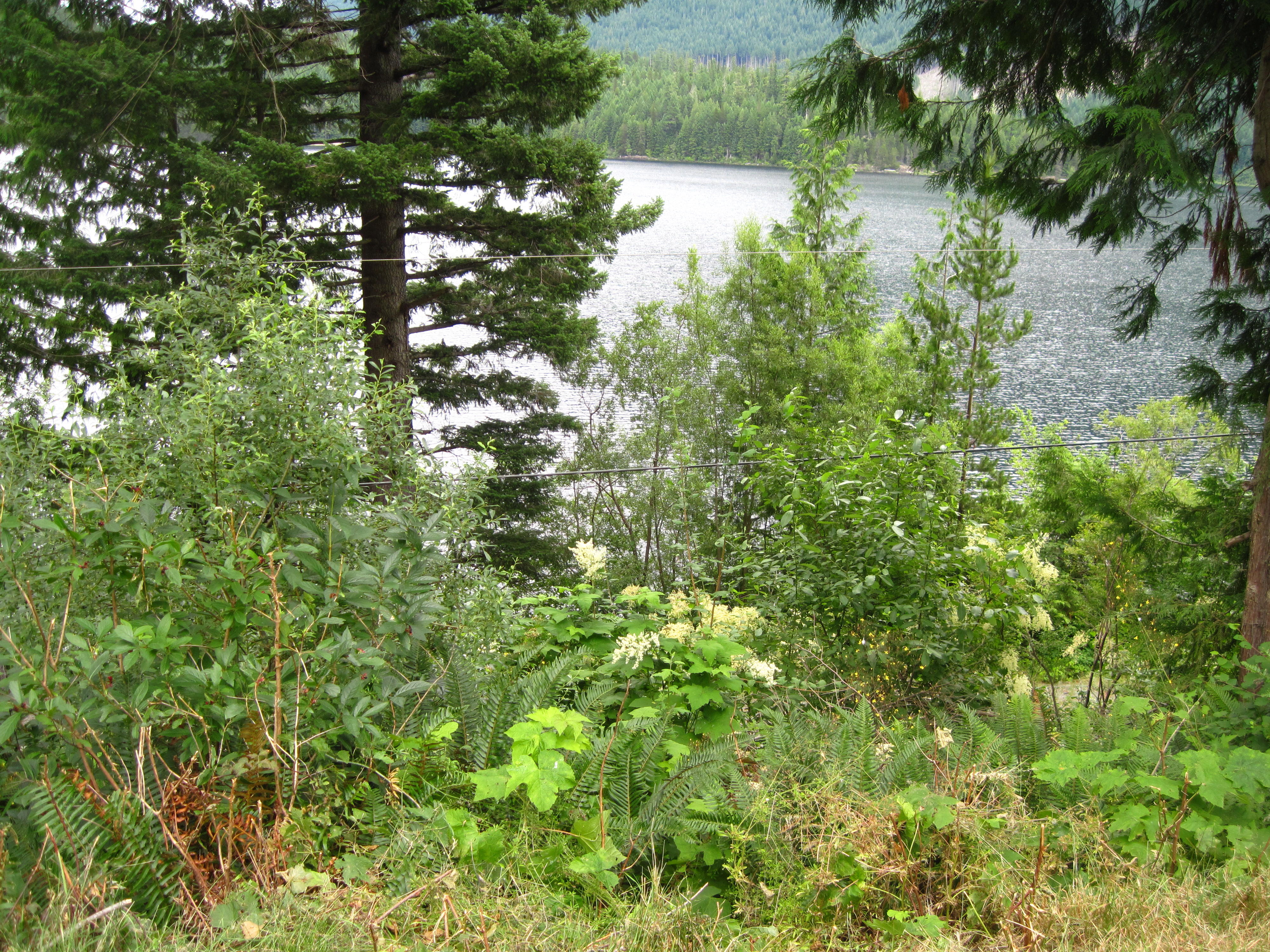
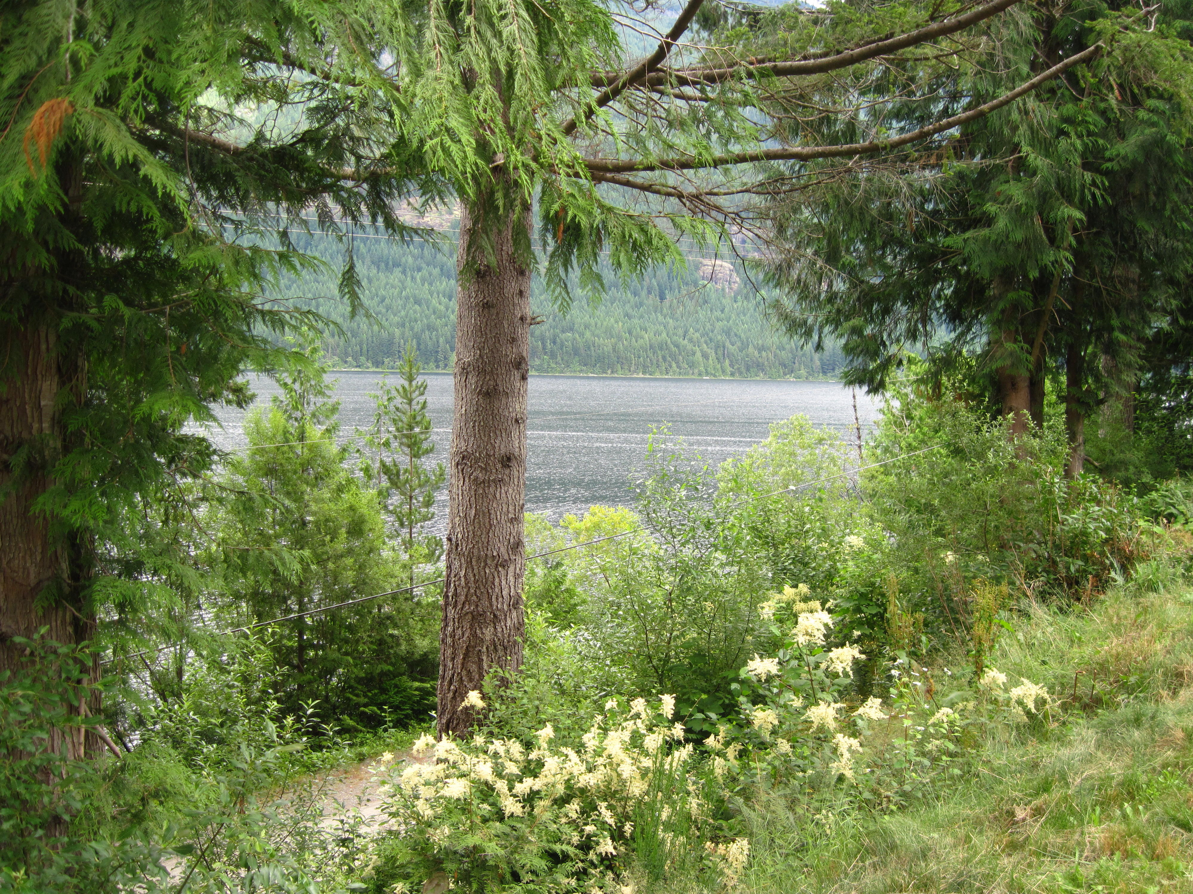
Today's camping is at Miracle
Beach State Park. The group campsite is a ways from the showers so I
ride my bike to the showers, and then continue to the beach on the
bike. There I can see the mountains on the mainland of British
Columbia. I wander around the Park in the evening and find a maze of
trails that are situated near the beach. Eventually I exit the trails
at the Activity House where children are dissecting fish. I also see
someone's computer hooked up to a wall socket, so I stop and hook up
my Netbook. There are a few mosquitoes here but not enough to be
annoying. They do remind me to buy some insect repellent to counter
other potentially more serious infestations in the future where there
may be clouds of bugs
|
17.
Miracle Beach
|
18.
Miracle Beach Park
|
Friday July 22
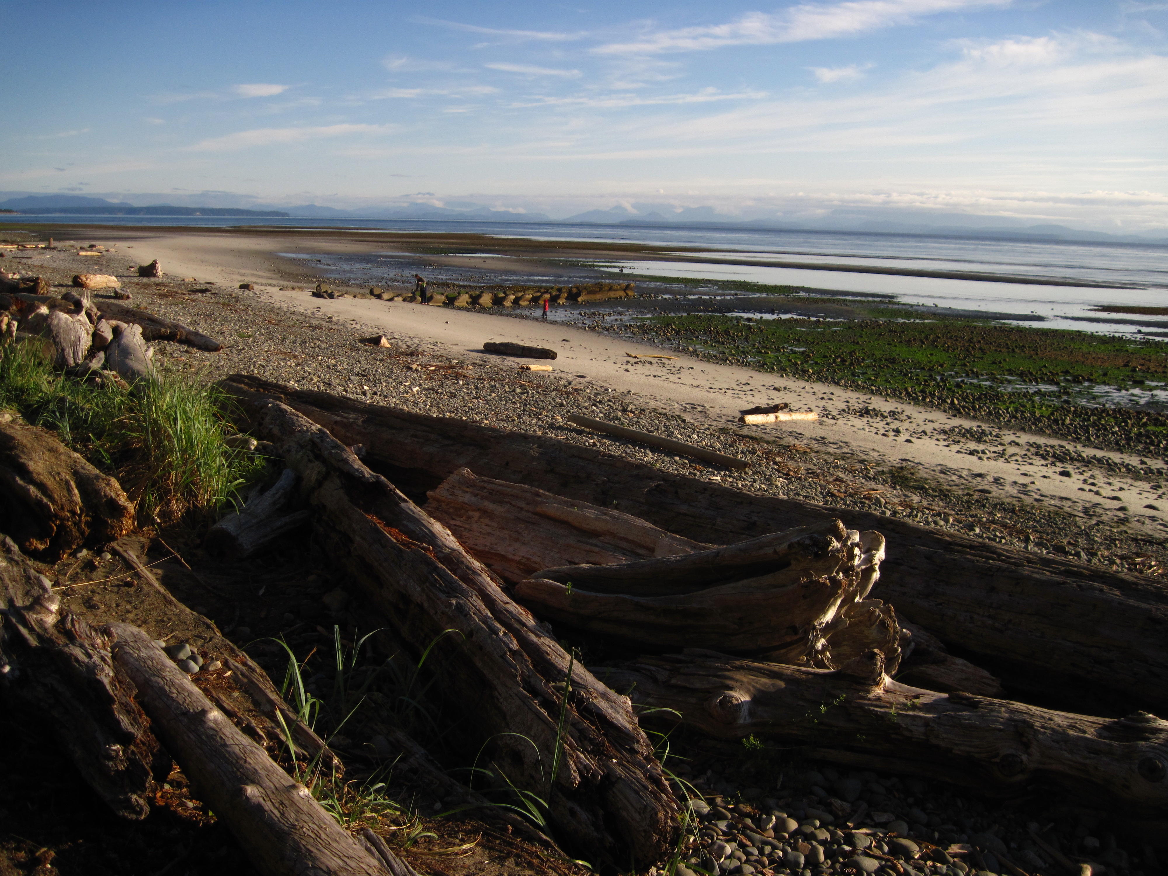
I start today's adventures with
sitting on the beach in the sun for half to three quarters of an
hour. It was cold at the campsite. The warmth on the beach is a
relief. There are other people on this beach in the morning. Some are
sitting on the logs and contemplating like myself. Others are walking
in the tidal flats as tide is out. There are a few fathers showing
their young sons the ways of the ocean.
|
19.
Miracle Beach Park
|
20.
Just west of Miracle Beach Park – single lane bridge
|
Another amazing cyclist is
becoming our mascot. She is travelling with dog in bike trailer plus
all her gear in bike bags on bike. Somehow, she gets to the same
campsites as our group that's headed for Inuvik.
After warming up on the beach, I
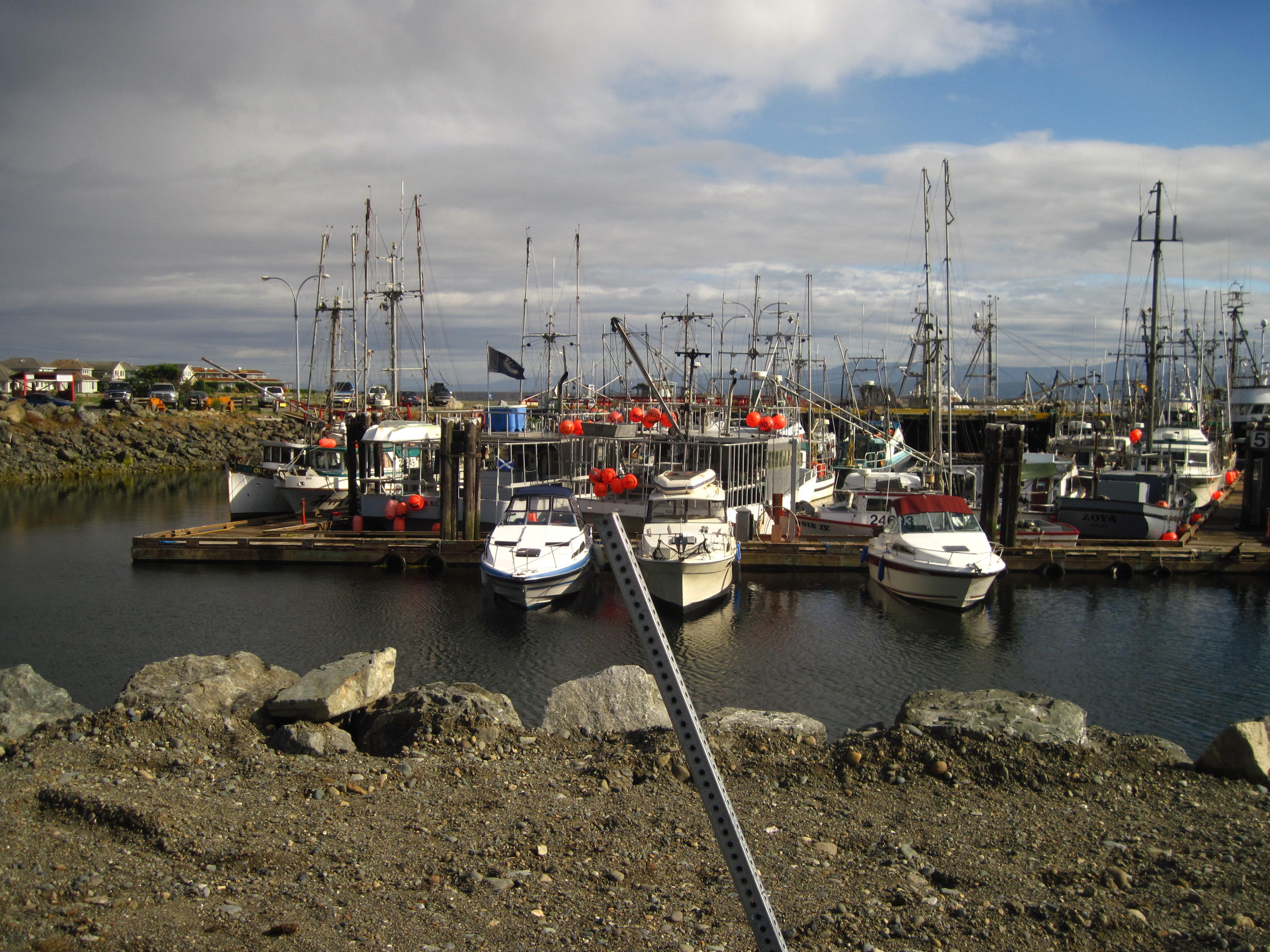
hit the road on the Island Highway once again. The first big
habitation is Campbell River 20 km away though there are houses along
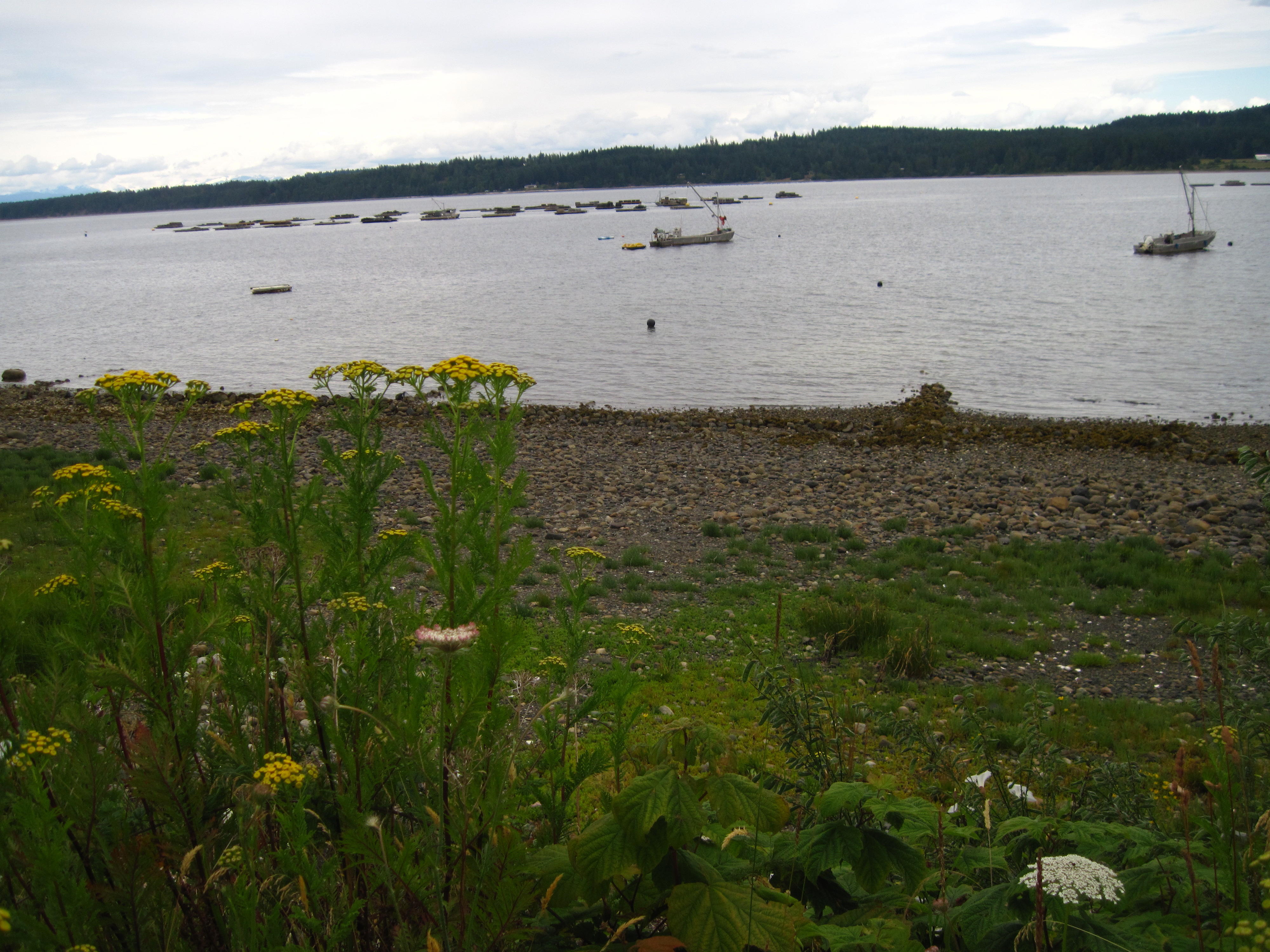
most of the shoreline. Most look like permanent homes. In Campbell
River I see fish boats at the wharf and stop at some stores to get a
few items. One of the more interesting events happens when I stumble
behind the mall in Campbell River. There I find a native cemetery
that contains contemporary totem poles.
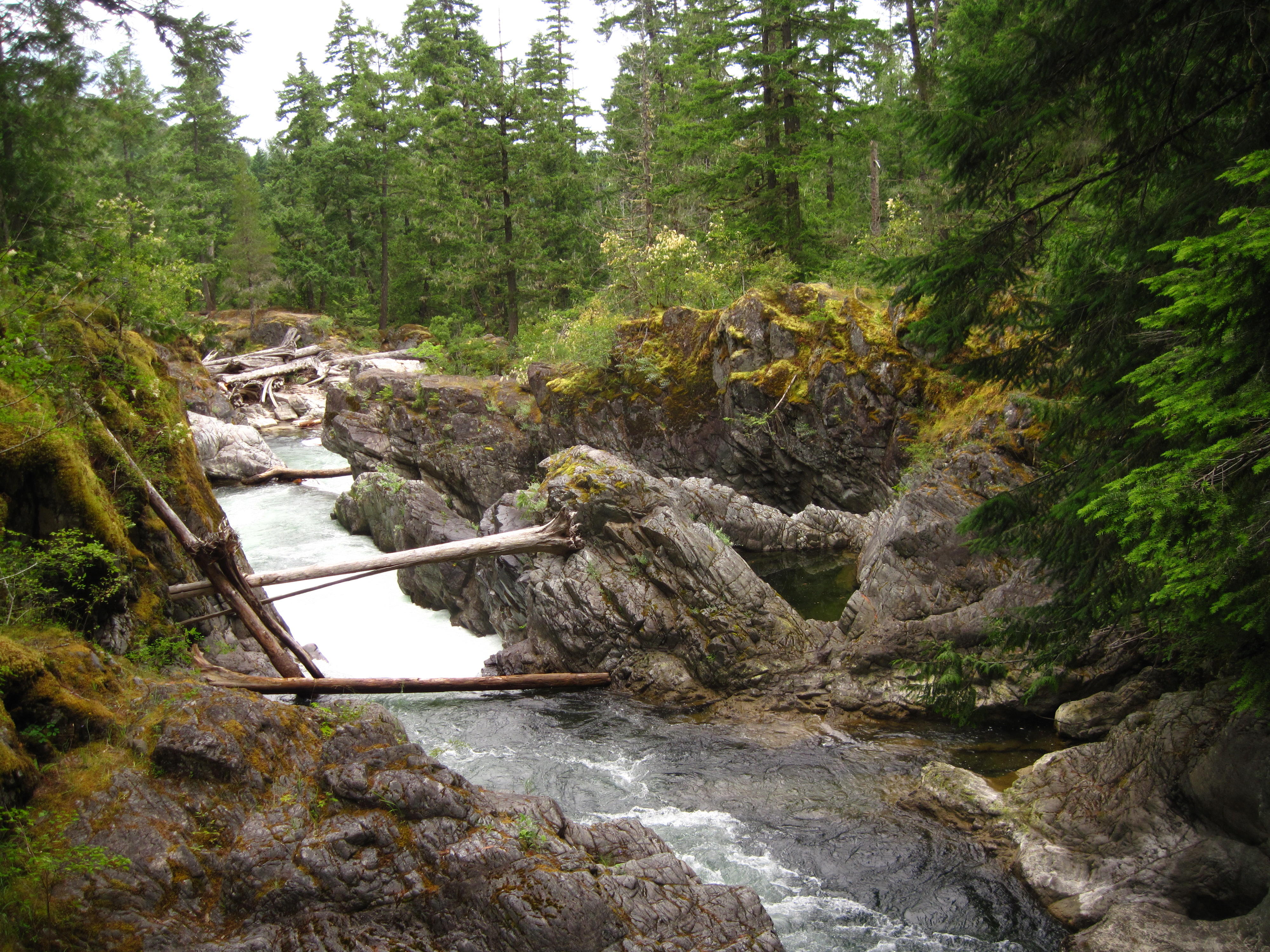
Just outside of Campbell River is
Seymour Narrows, a place where there were 2 submerged rock pillars,
Ripple Rock, until they were blown up in 1958. Several prior attempts
to remove the rock pillars had failed. Each rock pillar was the size
of multiple football fields with some protrusions getting within 9
metres of water surface. These caused many boats to sink. Besides the
rock pillars Seymour Narrows is hazardous due to strong currents that
occur with each tide. Boats try to schedule passage in the calms of
low and high tide, rather than at the times of tide change.
|
21.
Seymour Narrows
|
22.
Seymour Narrows
|
|
23
|
|
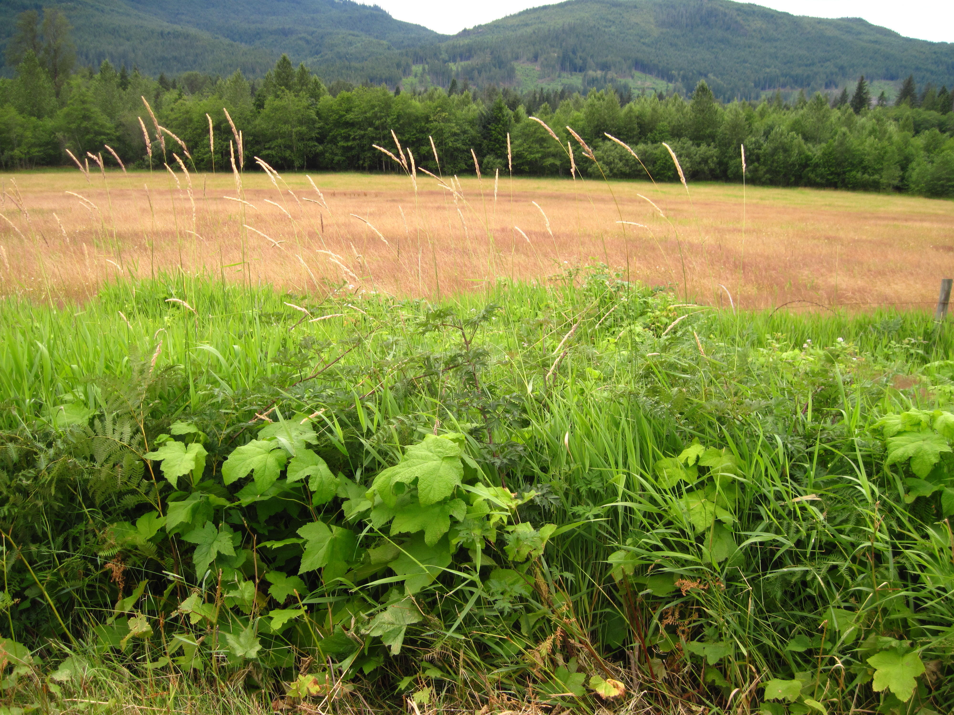
Next is the start of a long long
hill that has a steady grade of, at most, 5 percent, for many
kilometres. There are some optical illusions about whether one is
riding up hill or down dale, but one does know by one's speed and the
bike gear that one can turn.
Much of this part is a somewhat
boring road with bush on both sides; luckily, there are half paved
shoulders most of the way. These allowed me to somewhat zone-in,
meditate, and get in a trance to zombie the miles away.
The location of tonight's camp is
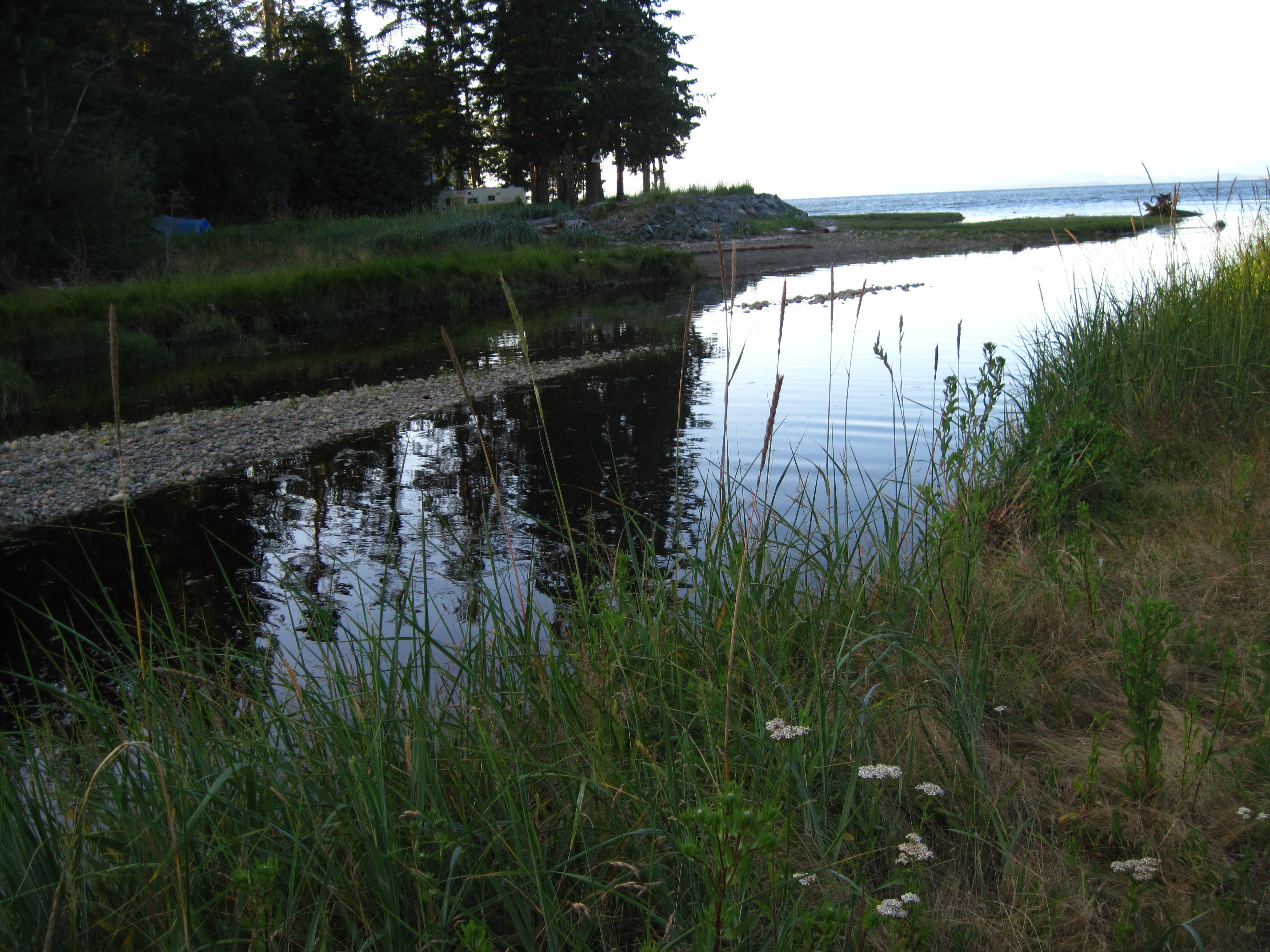
near the intersection of Sayward Road and Island Highway. Sayward is
another 10 km towards the sea. I check into camp and then go to
Sayward. There's log sorting on one side of the road in Sayward and
quaint houses with a park containing a small pond. A couple of
kilometres further down after Sayward Road is Kelsey Bay where there
is a small dock for fish boats.
|
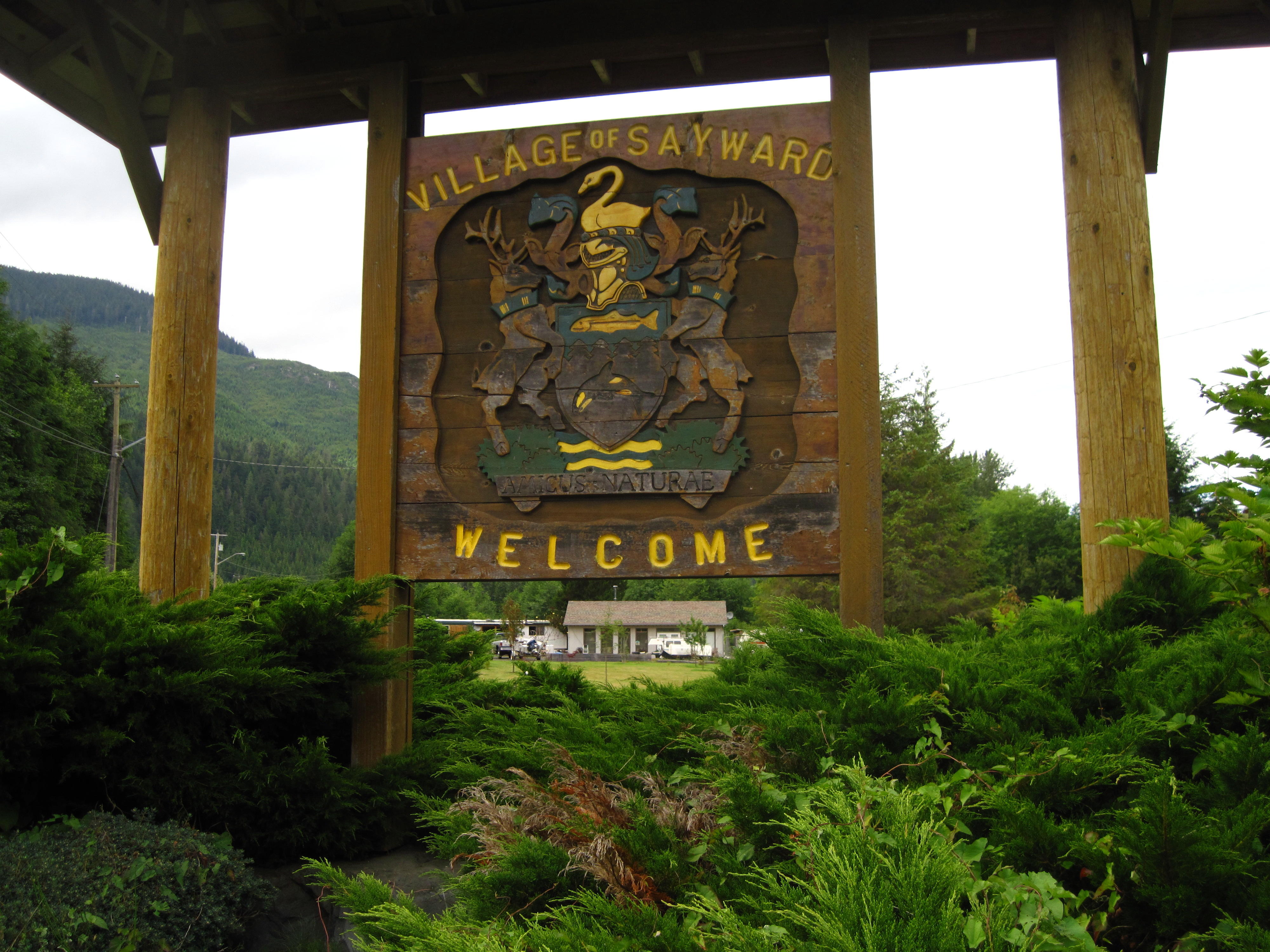
24.
Sayward town sign
|
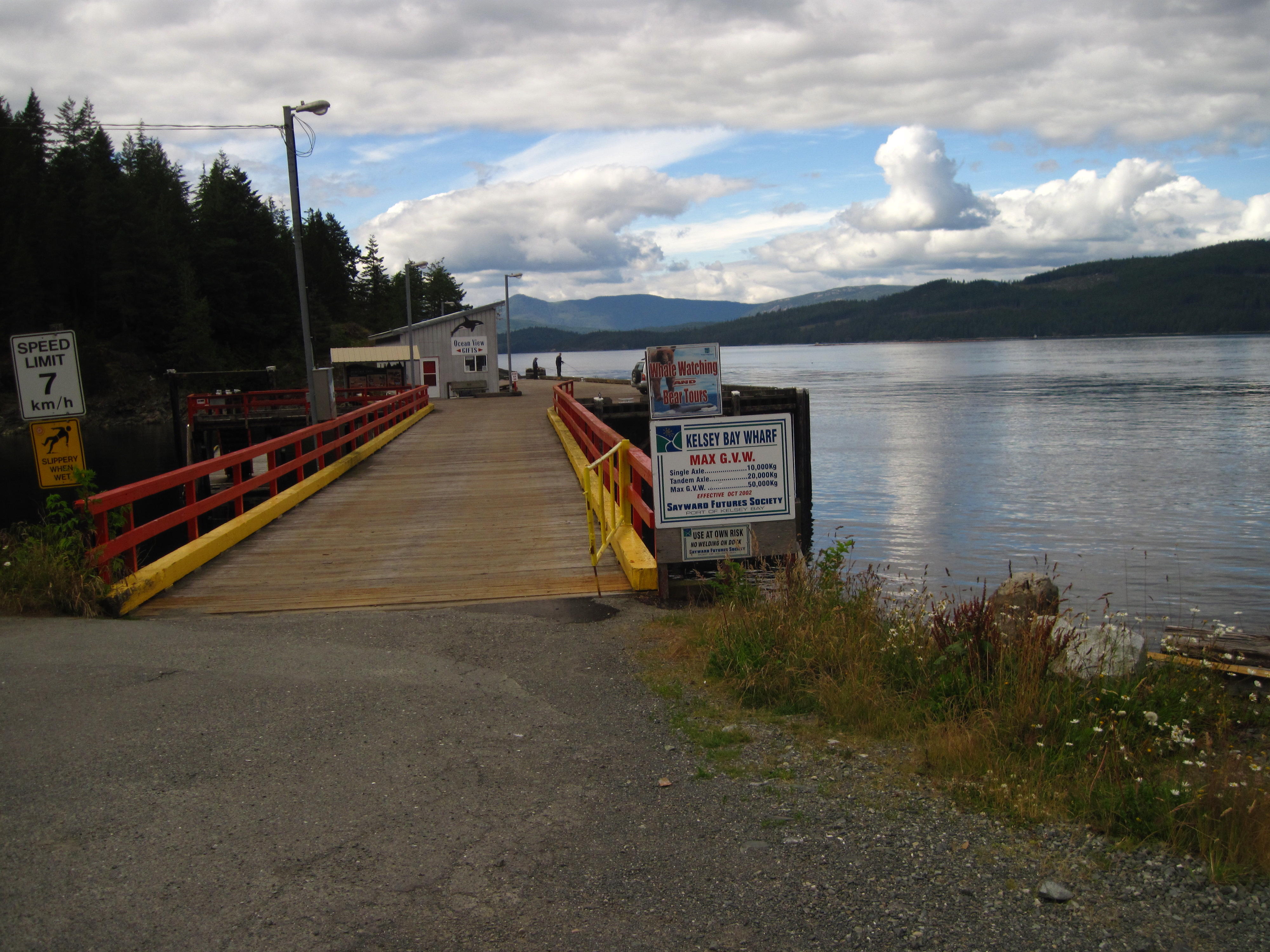
25.
Kelsey Bay
|
|
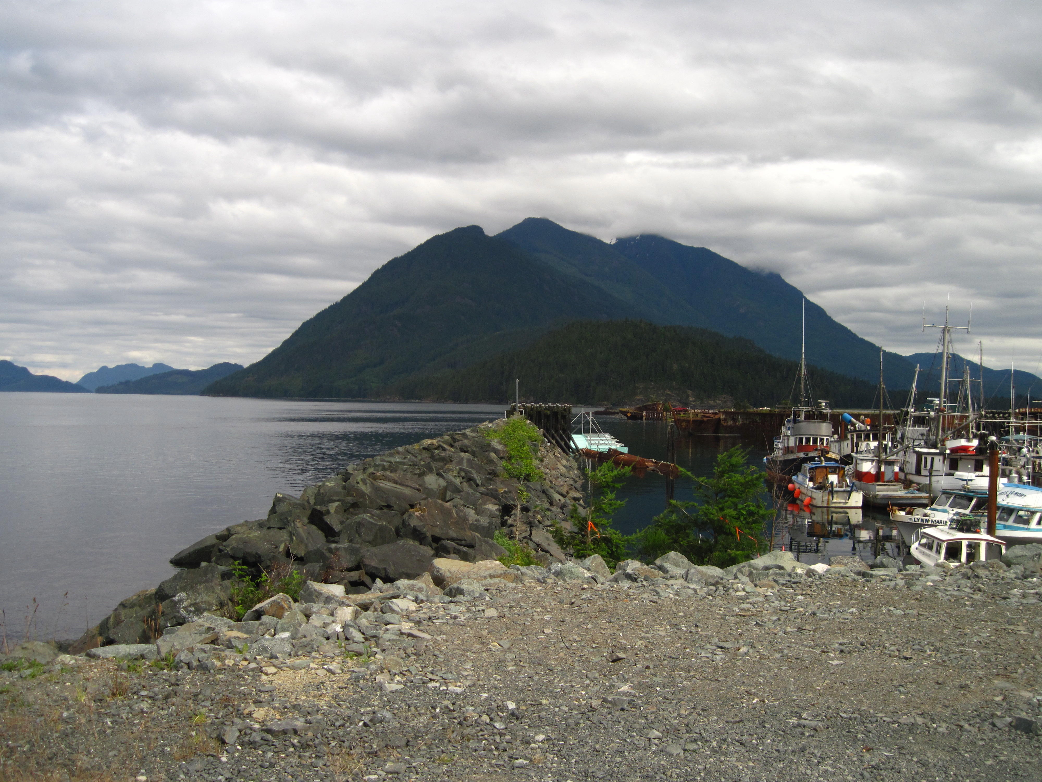
26.
Kelsey Bay
|
|
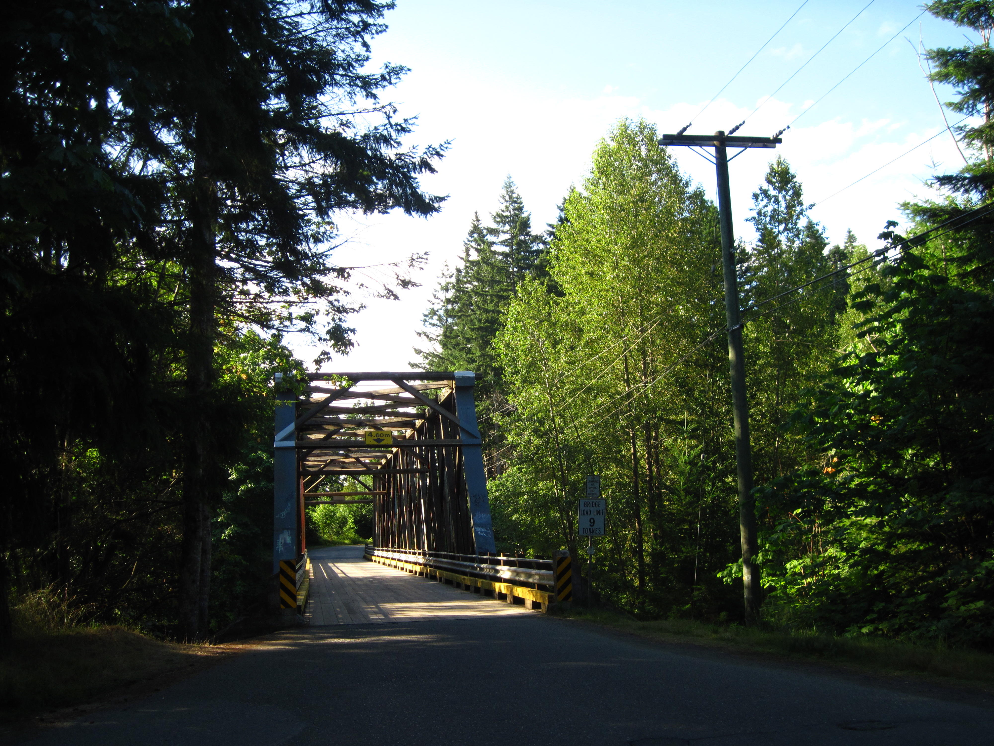
Saturday July 23
Today's ride is just a short 68
km to Woss. The best view of today is from the high, wooden bridge in
Woss. When I'm looking one way at some rapids, 2 locals drive up and
one says “Do ya see any Sockeye?” When I hesitate, the
driver jumps out of his truck and up on the other side of the bridge,
holding the rail that's made of aluminum fencing, and says “See
the Sockeye down in that pool?” At that point, I cross the
bridge and try to look from my position on the roadway of the bridge.
I see very little. I hesitate at jumping up on the side of bridge and
grasping the rail. I say “I'm timid.” He says “I'm
Paul.” I then timidly get up on side of bridge and take a few
pictures of the salmon down in the pool 100 metres below.
|
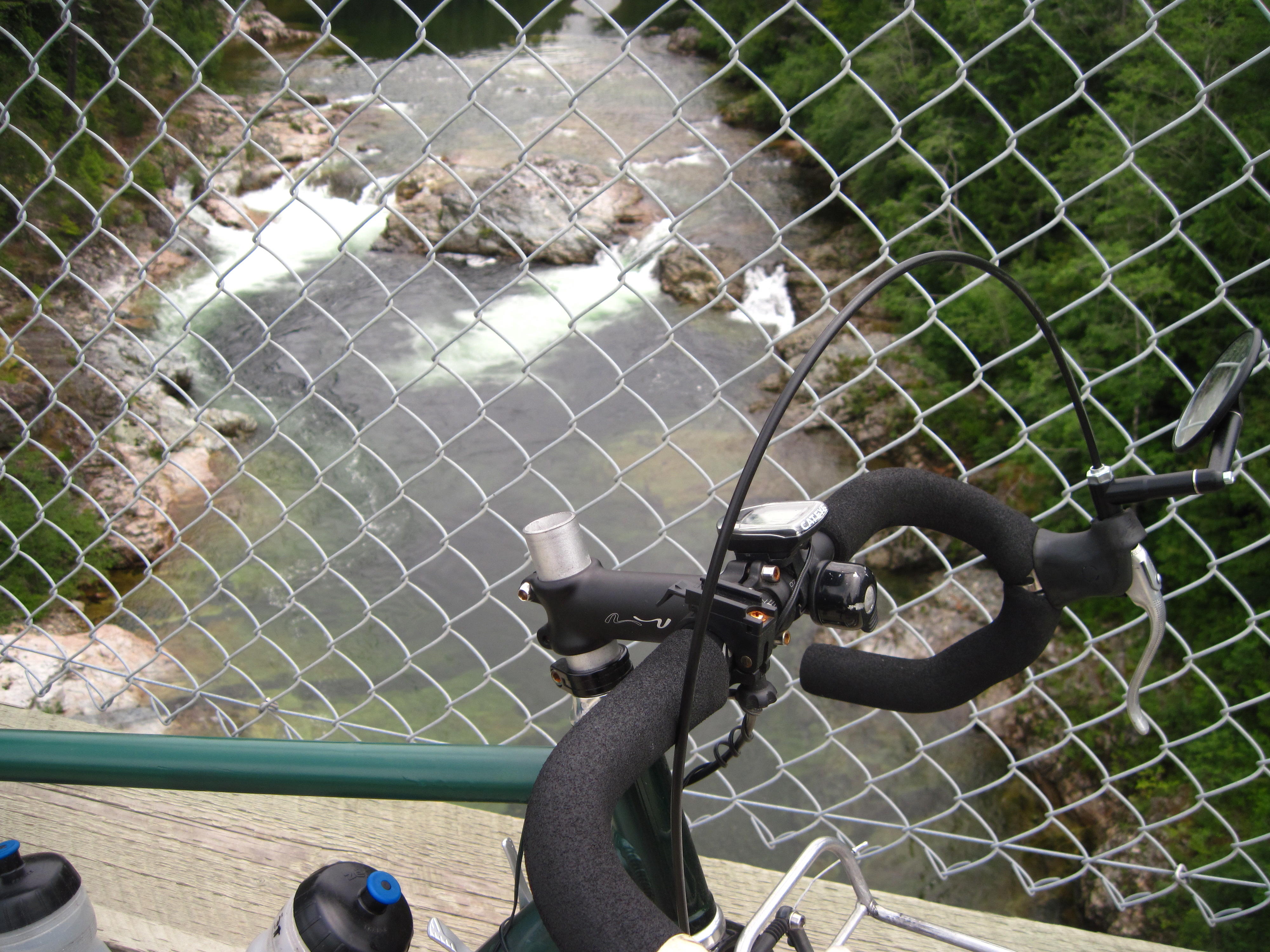
27.
View from high bridge in Woss
|
|
In Woss, our group stays at the
motel. The rooms are large; the accommodation is good. The news from
talking to other cyclists on the road is that many use a primitive
campsite near a lake that we go by tomorrow. Hey, the motel is fine,
eh? There's Wi-Fi but no FM radio stations for my iPod to pick up.
I started this morning by leaving
camp and hitting the Island Highway right away. First off, there's a
long climb of 3 km. I pass many other riders. The rest of today's
ride is small ups and downs in comparison. The somewhat repetitive
nature of the landscape is broken by some anomalies. One is good
graffiti – a rock with “Canada rocks” painted on
it? Another is a short hike on Hoomak Lake trail. There are signs
along the trail pointing out the process of harvesting and replanting
trees.
|
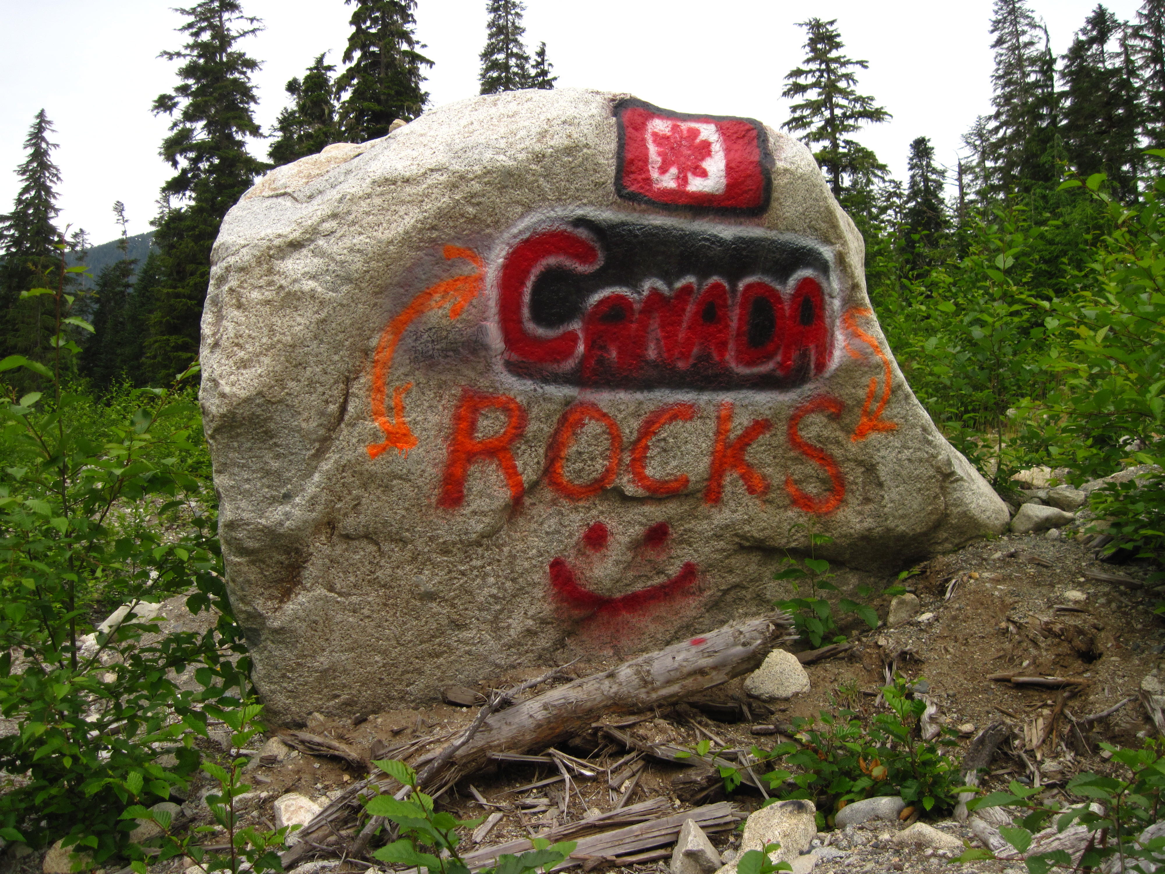
28.
“Canada Rocks”
|
29.
Hoomack Lake trail
|
Sunday July 24
Today is a day of side trips to
Telegraph Cove and Port McNeill. Otherwise the route follows the
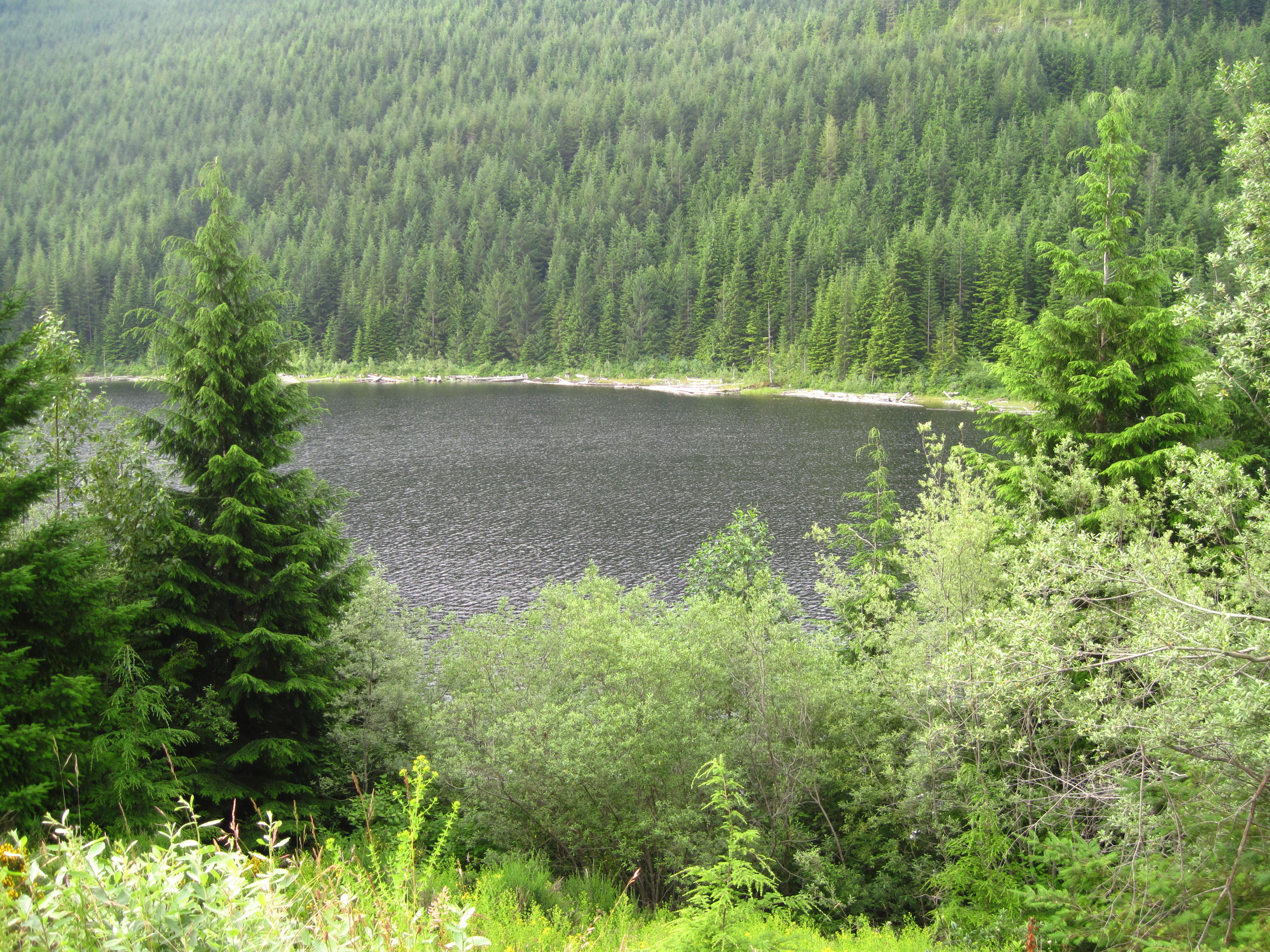
Island Highway. The morning starts out beside a big lake. I take a
few pictures of the lake with glaciers in the mountains in
background.
The first side-trip is to
Telegraph Cove. It's a pleasant break from the Island Highway since
there's much less traffic, but much steeper hills the last few
kilometres between Beaver Cove and Telegraph Cove. Near Beaver Cove,
I spot a small, genuine, logging train that is stopped at a small
railroad crossing. Luckily, it's stopped here today since it's
Sunday. This spot proves to be popular. While I'm taking a picture,
three other people stop to do the same.
|

30.
Near Beaver Cove
|
|
|
31.
Kayaks at Telegraph Cove
|
32.
Telegraph Cove.
|
The logs on this train are bound
for the log sorting plant in Beaver Cove that I soon see. Just past
the log sorting plant is a very steep hill. At the top of the hill is
a small park that contains 3 interesting display boards:
On the left is one
describing the process of log sorting
On the right is another
telling of history of the area
In the middle is pure
propaganda.
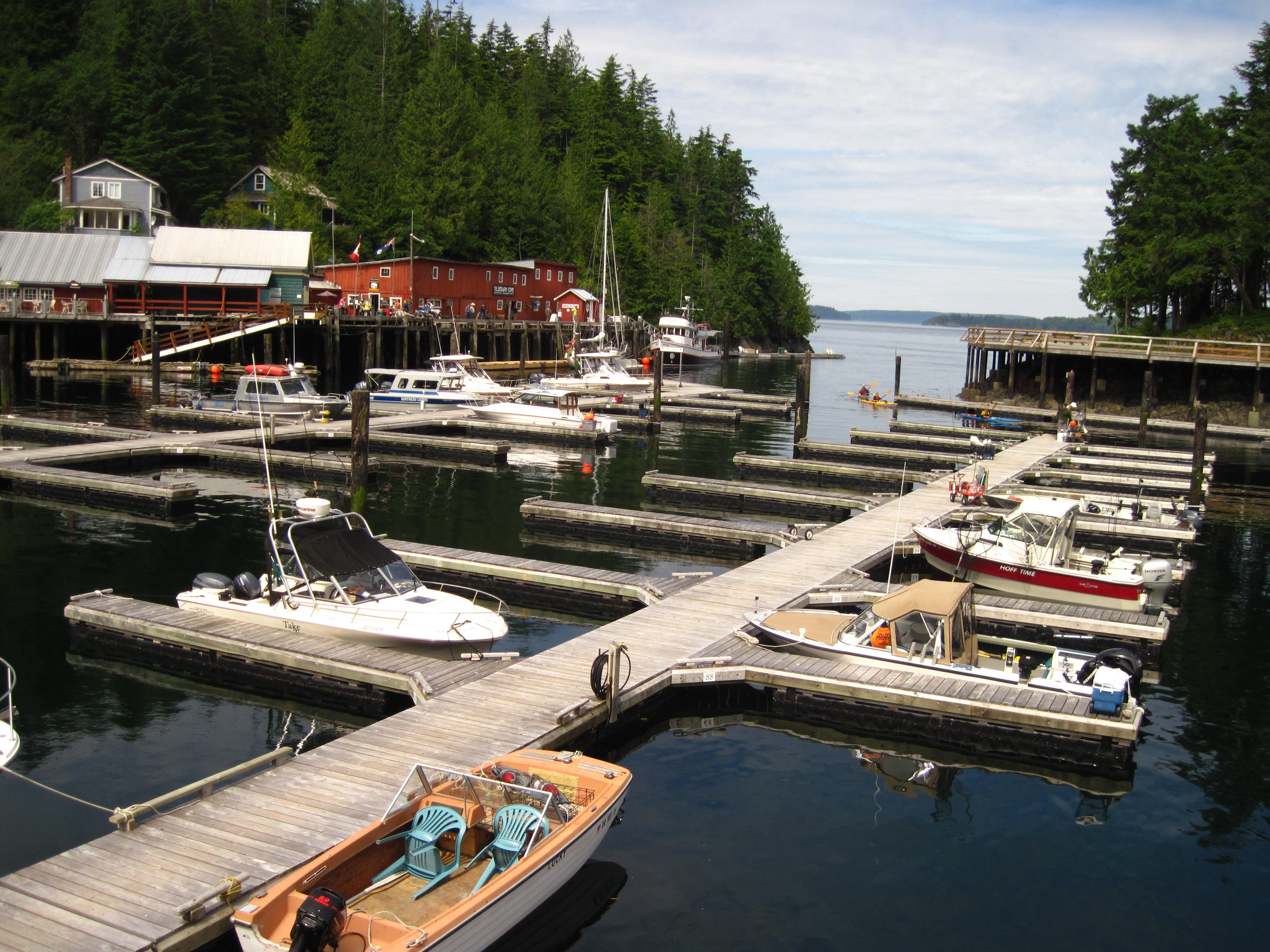
Telegraph Cove is almost round
with one small hole that pleasure craft use to access the ocean –
this cove appears to be completely devoted to pleasure. It's packed
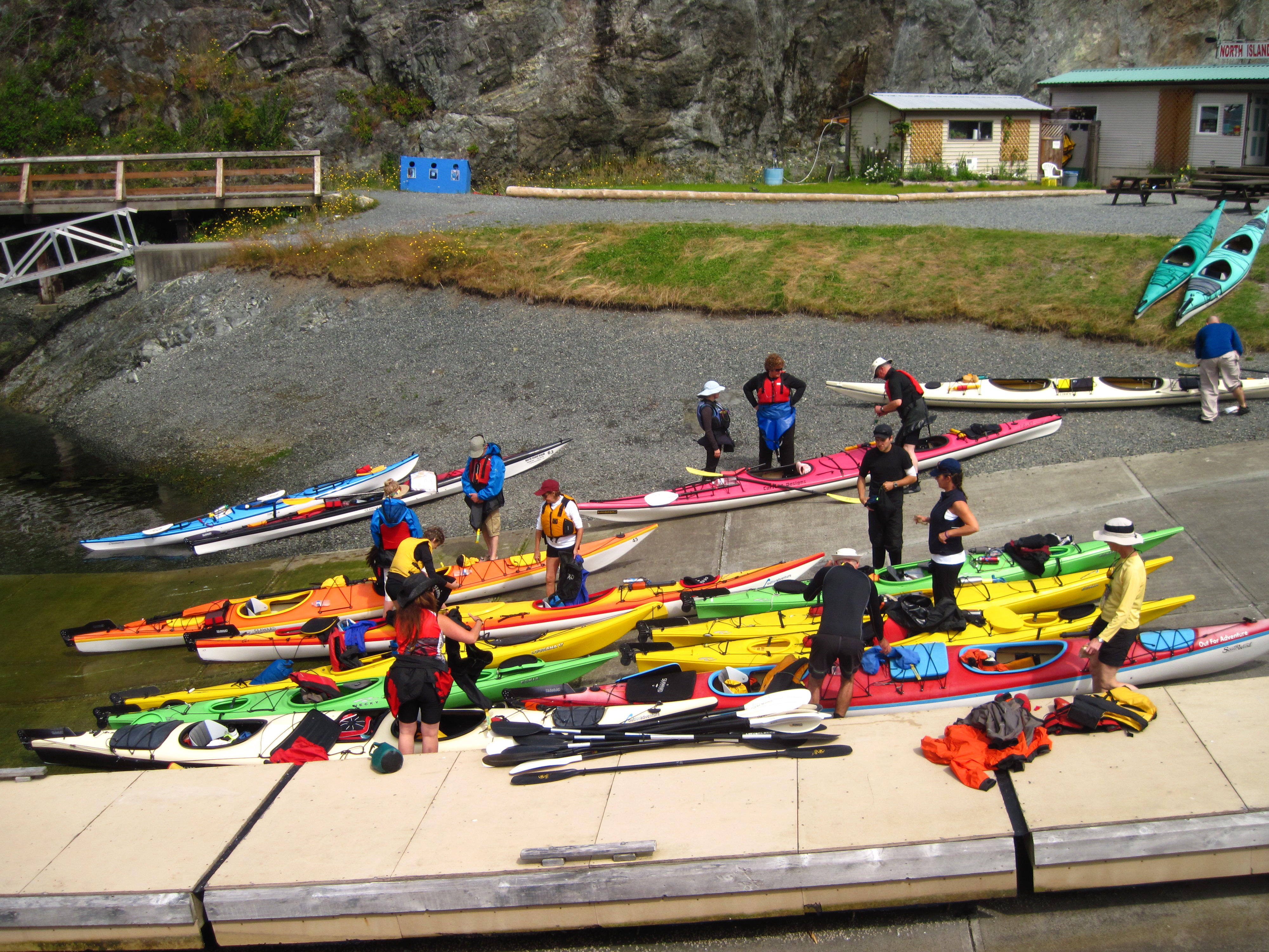
with pleasure boats of all sizes. I see a group of kayakers getting
ready to go whale watching. Well, at least I hear some of them
talking about the possibilities of seeing whales – their guide
reassures them that he knows places where whales hang out.
The second side trip is to Port
McNeil. I go into town through some suburban roads and find a route
along the waterfront. In the centre of the town I find an ageing
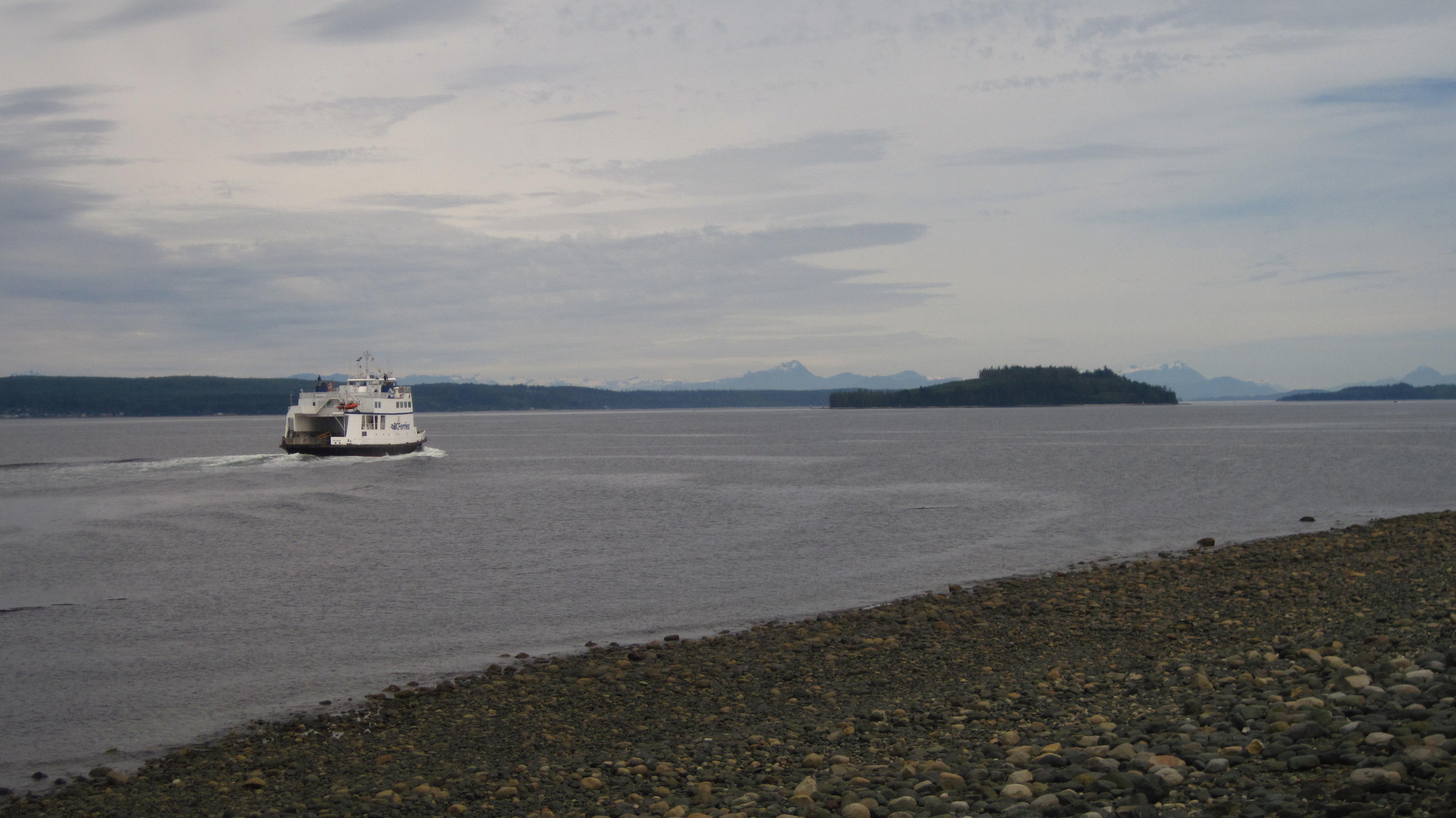
model boat on top of a restaurant – “The Dry Dock.”
There's BC Ferries going to Sointula – the location, at one
time in history, of a Utopian Finnish community.
|
33.
Ferry to Sointula from Port McNeill
|
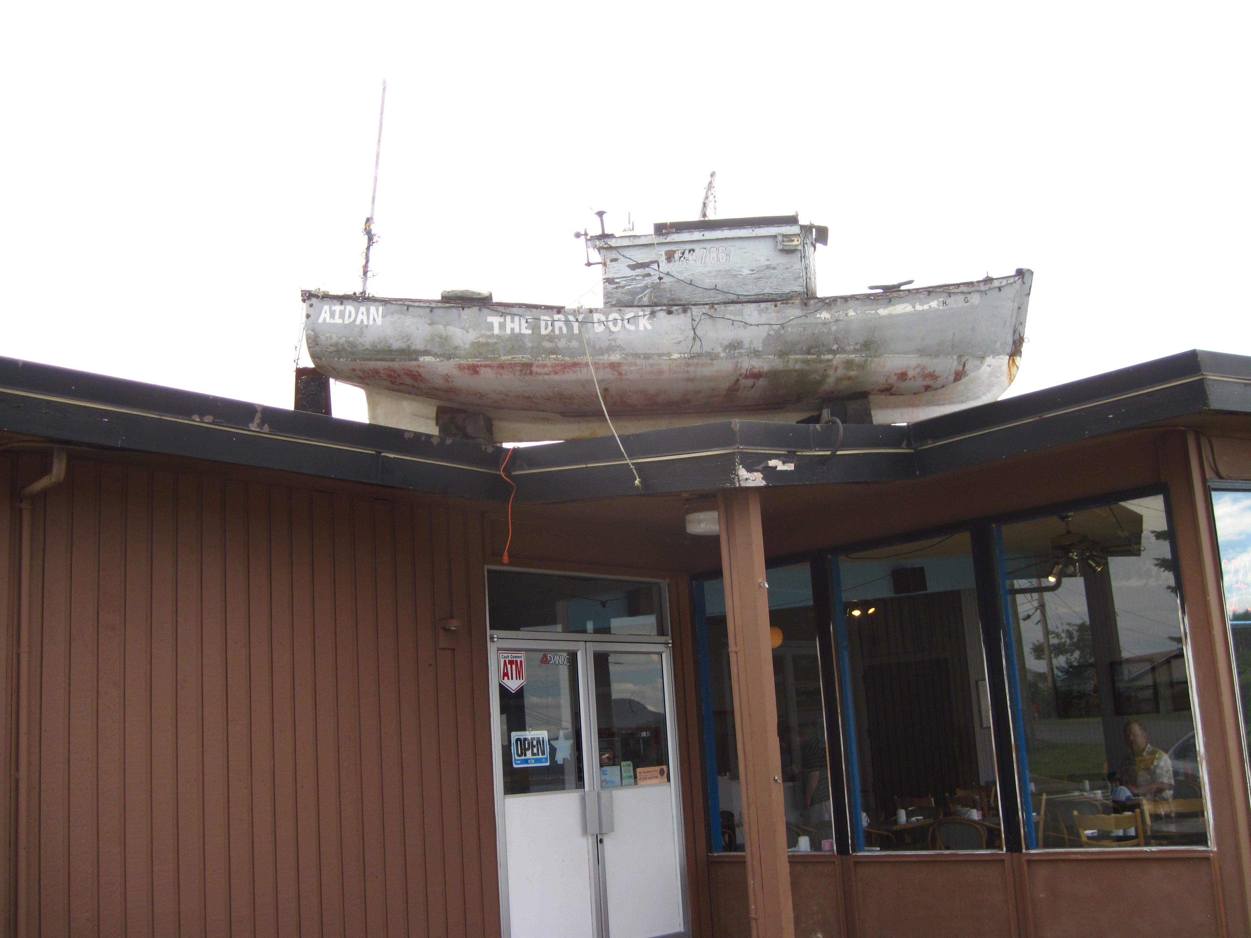
34.
Port McNeill - “The Dry Rock”
|
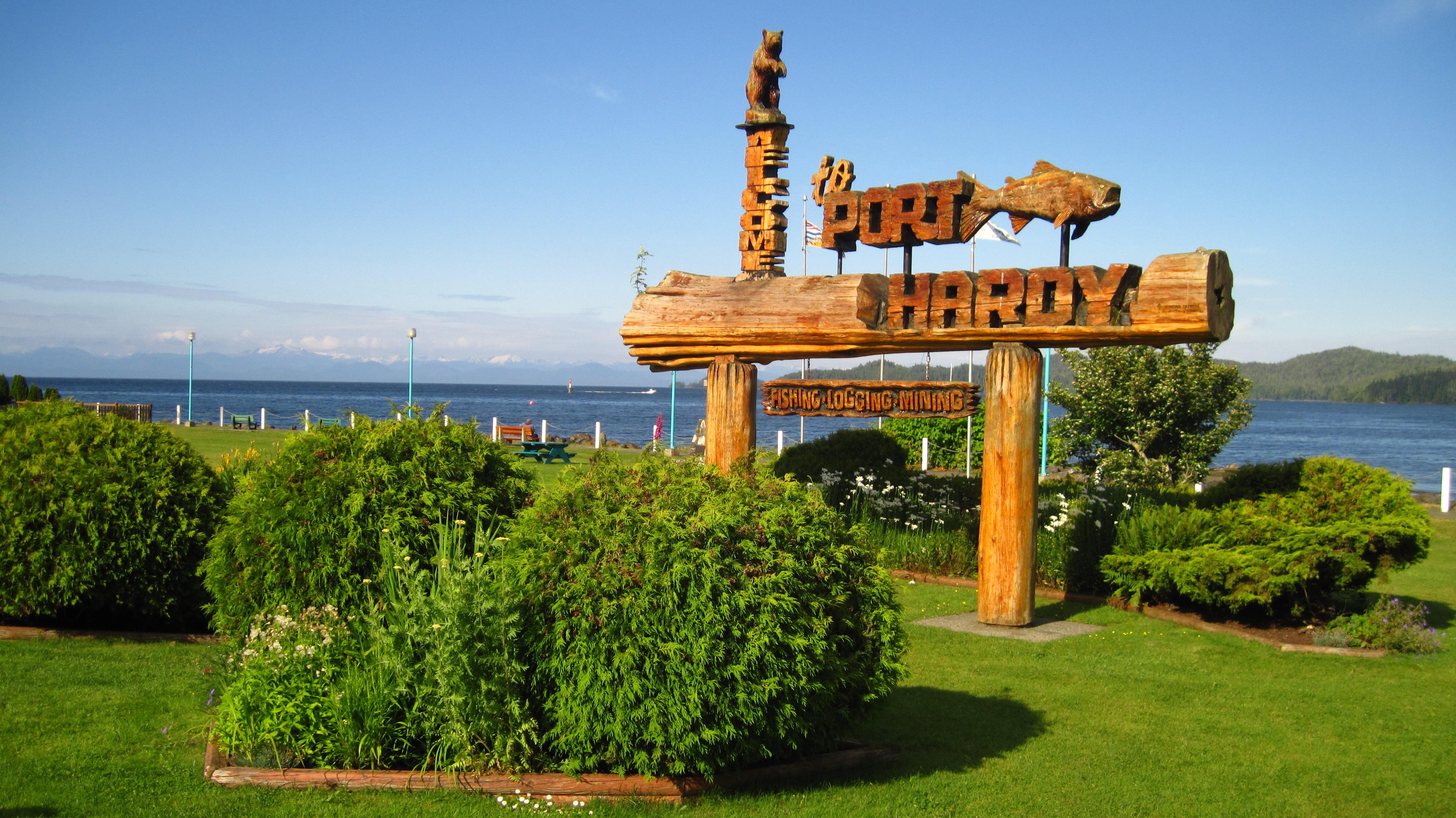
After seeing the sign for Port
Hardy, I try to get off the Island Highway and onto some local roads
that, hopefully, get closer to the ocean. My first try fizzles. It's
a road to the airport that eventually just returns to the Island
Highway. My second try is a dead-end named Bear Cove Highway, but it
is noteworthy since it is the road to the BC Ferry that I'm taking
tomorrow along with our group of bicyclists. It's interesting to see
this road in daylight as it will be dark when we all go to the ferry
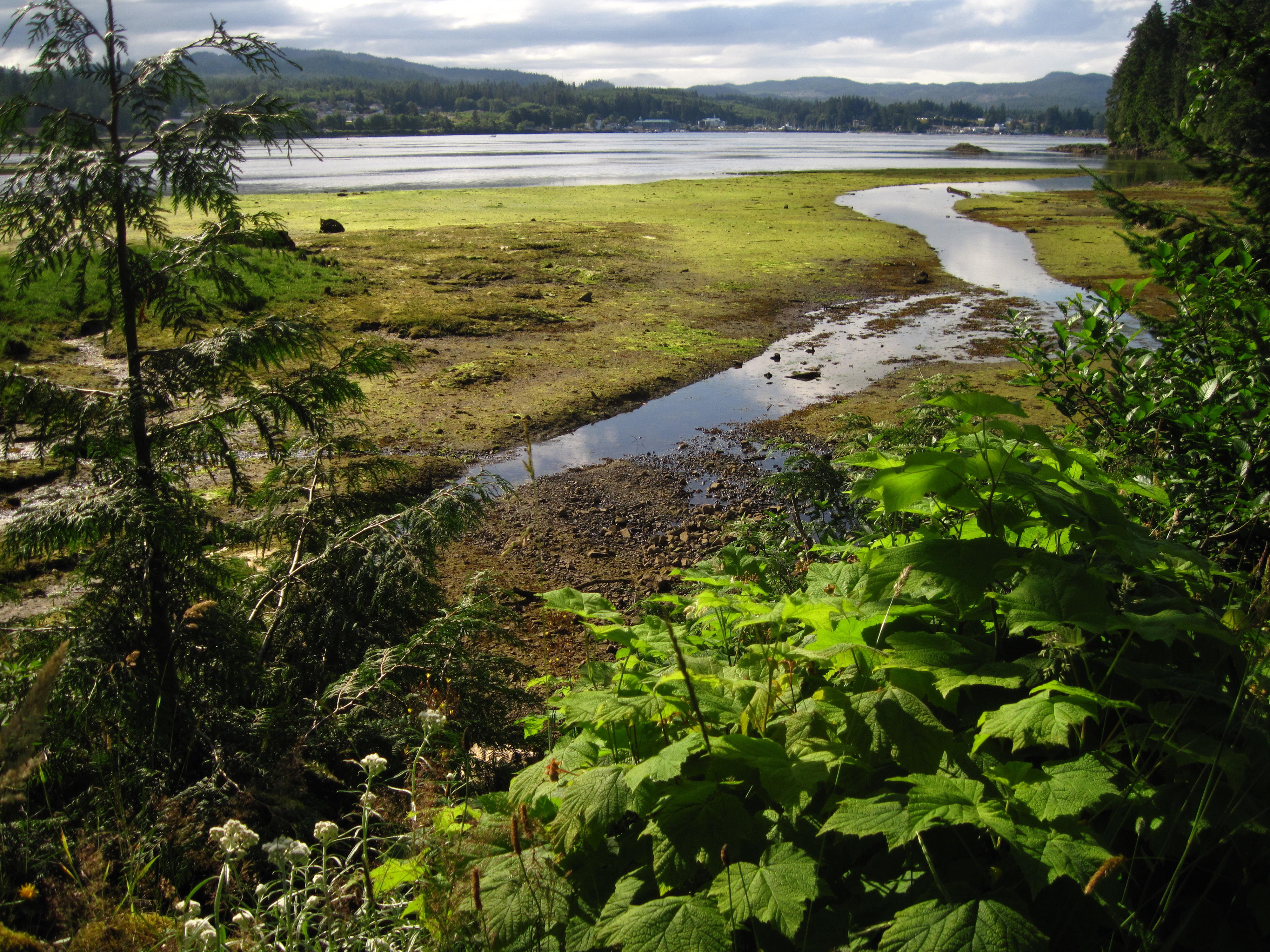
tomorrow at 4 a.m. There are some great views of the Port Hardy area.
My third attempt to find a good
road going into Port Hardy is a success – Hardy Bay Road. This
road goes by the main port that is used by fishing vessels and a fish
plant.
The Pioneer Hostel where Tour
Arctic is staying is a on side street near yet another waterfront
park. The whole area needs renovation. One motel is closed and
there's a bankruptcy sale sign pasted on it. It looks like some
redevelopment has started – there's construction on the lot
opposite the bankrupt motel.
|
35. View of Bear Cove on road
to Airport
|
36. Downtown park near our
Hostel
|
Next ...

Please
send comments to
the author.