Churchill River Saskatchewan canoe
trip: August 16, 2007
Day 5
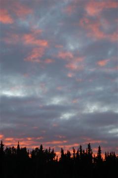
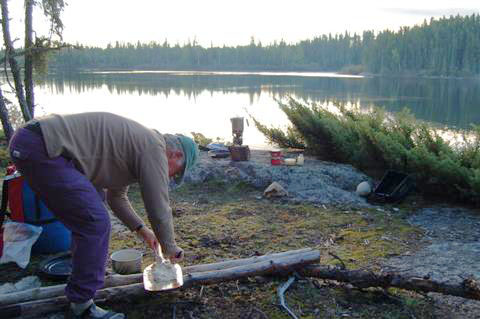
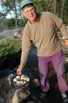
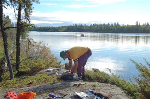
It was another nice morning, so we decided to bake our cinnamon
buns. Several fishing boats zoomed by and we waved to the
fishers. We wondered where they could be going. We did a little
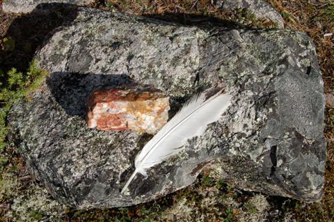
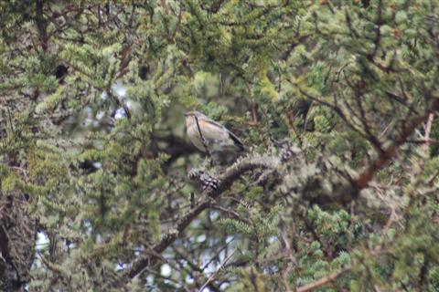
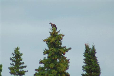
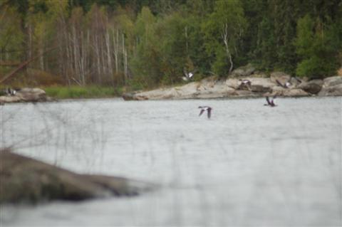
birding again, and Barbara found a Chestnut-sided Warbler and an
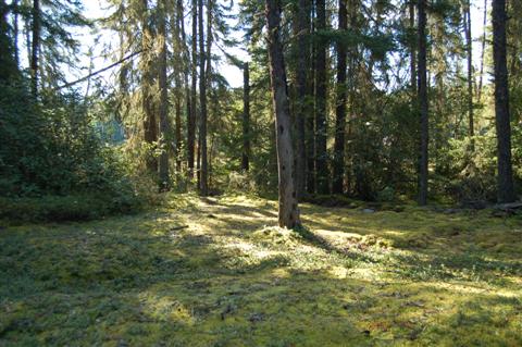
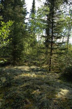
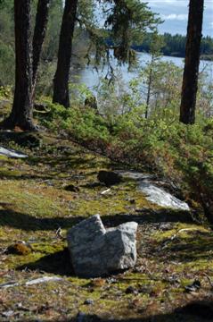
eagle feather. There were these openings in the forest where the
ground was covered with moss.
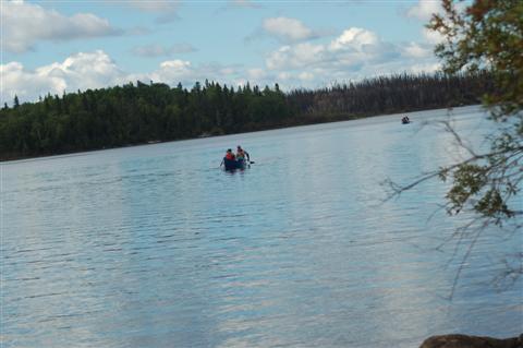
We were just thinking about leaving when we saw 5
canoes coming our way. It was a party of 11 from a group home in
Prince Albert. Their leader was Curt. He had another male and a
female leader for the mixed-sex group of native youngsters. They
were pulling in for a mid-morning snack. Everyone was in good
spirits. Curt was very experienced, and gave us some valuable
advice about the rapids and falls coming up.
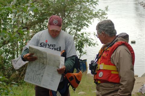
We left them behind and paddled to Trout Falls. We got off course
again, but I realized why. The computer maps that we had did not
have the magnetic declination indicated. A little help from the
GPS soon got us straight.
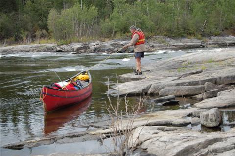
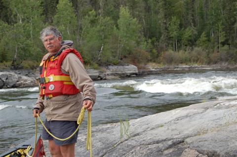
We made the first carry around the falls, and
returning, saw Curt’s group arriving. We completed the
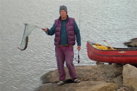
portage and had our lunch. Bill took a few casts, but,
surprisingly, there was no luck. The guide book said that the
best places to fish were below the falls, but we did not find it
to be the case.
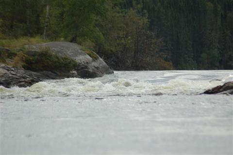
We shot Little Trout rapids, which was easy. Then,
after scouting, we shot the north channel of Moose rapids. It was
tricky, and later we heard that Curt hit a rock.
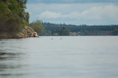
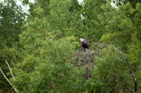
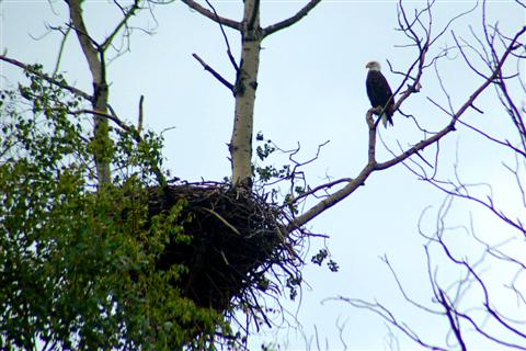
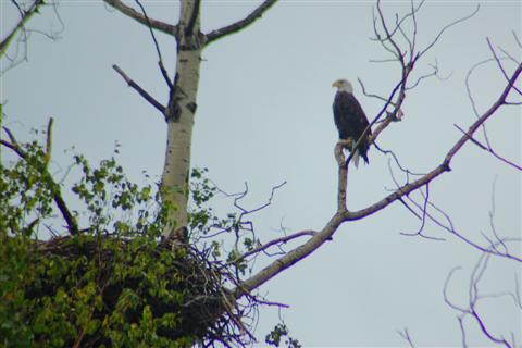
This brought us into Stack Lake where we saw a Bald Eagle beside
a nest. It allowed us to get very close and take lots of photos.
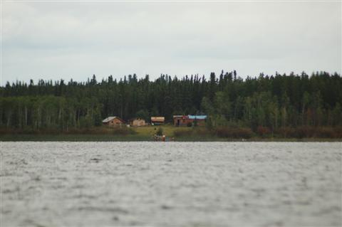
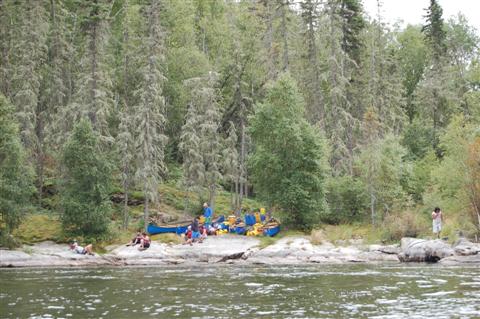
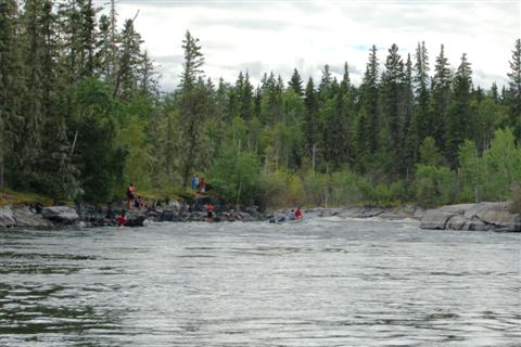
We paddled across the lake to Rock Trout Rapids. The
kids were already there and setting up camp for a two-day
layover. I noticed that Curt had regular topo maps, so I asked to
see them to find out the declination. But for some reason, it was
not indicated, and Curt said he never worried about it.
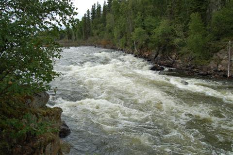
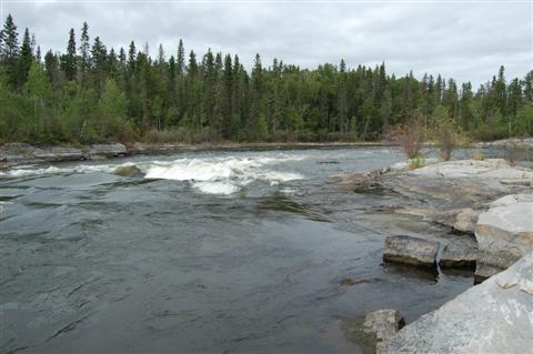
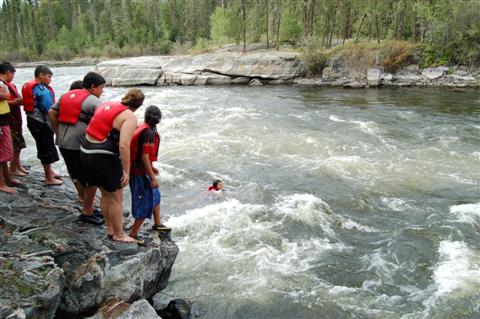
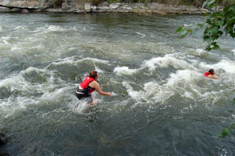
The rapids were in two parts – the first was
Class 3, but doable. But the second part, although only Class 2,
had that nasty undercut that Ric had warned us about. Curt said
that someone had been pinned there once.
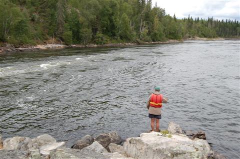
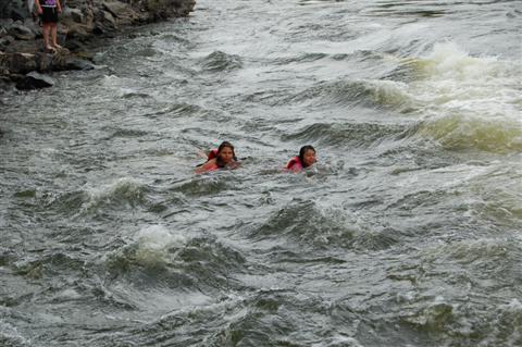
It was fairly easy to line the first part. We planned to run the
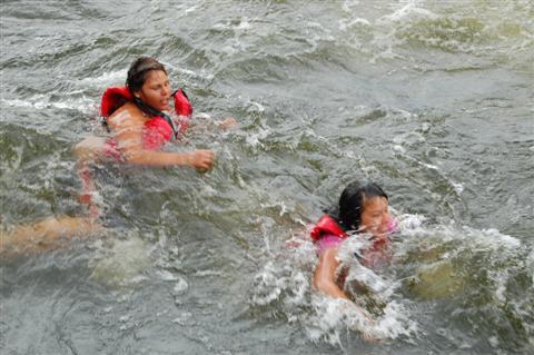
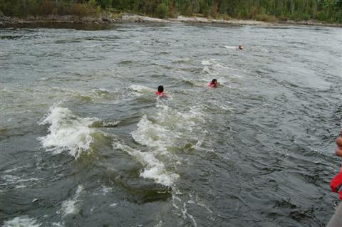
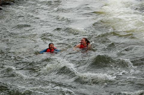
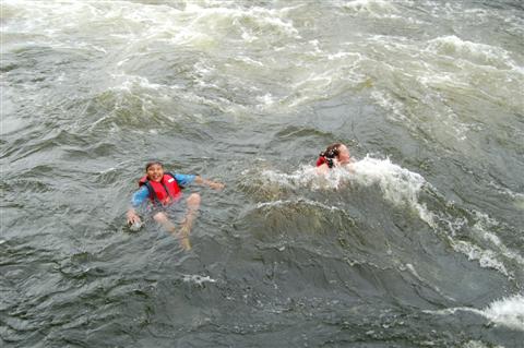
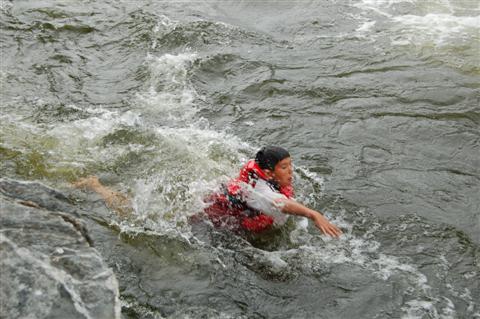
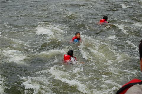
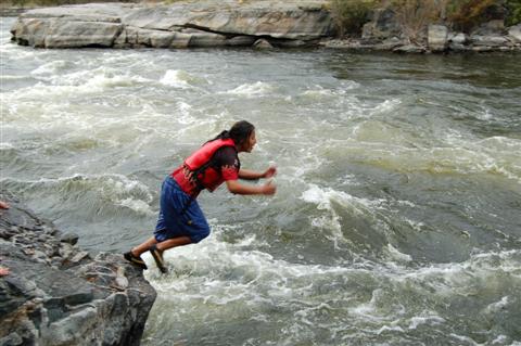
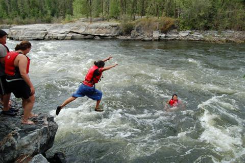
second part, but before we could start, the kids started jumping
into the rapids and let themselves be carried down. The rocks
were very deep here. They were having a ball. Curt gave me his
email address, and we sent him a bunch of photos later. He also
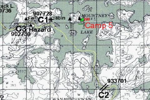
showed us the location of a good campsite on the next lake,
Mountney.
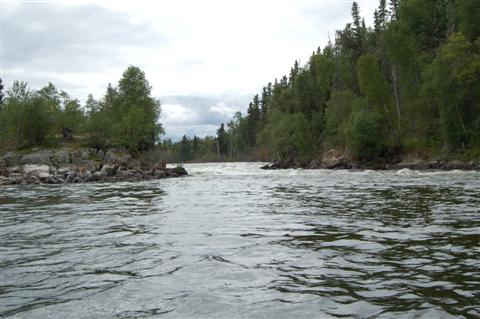
We planned to run the V on the left near the undercut, but after
watching the kids, decided to follow their route on the right. We
had no trouble, and the kids all cheered.
It was amusing to see a motor boat arrive and blast up the rapids
at full throttle. He hit his prop near the top, but it was ok, so
he just shrugged and carried on.

We ran Little Rock Rapids on the extreme right – it was a
bit tricky. Once again we got lost while looking for Curt’s
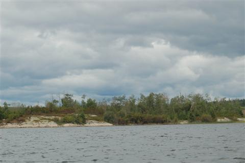
campsite. The map is not correct here. While circumventing the
wrong island, we saw a Pine Marten right by the rocky shore. He
scampered off while Bill was reaching for the camera. We finally
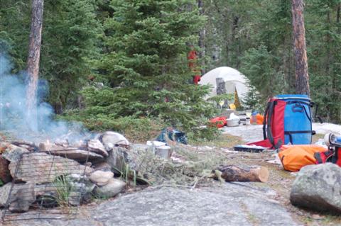
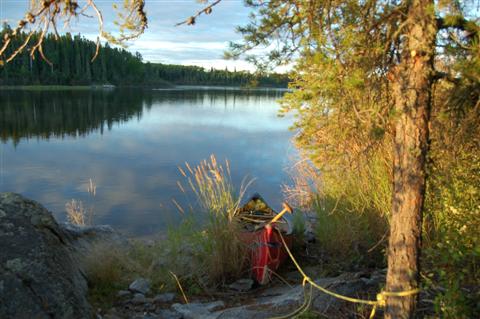
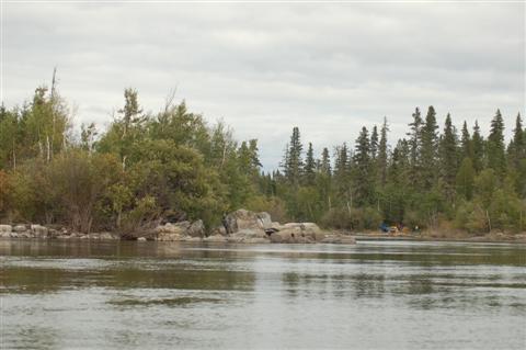
found the excellent campsite at E0492373 N6173135. In no time,
Bill caught a pike for supper.