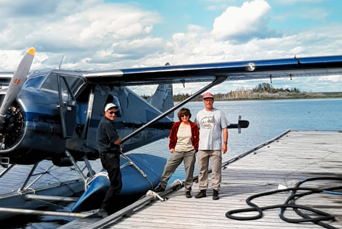
Clearwater River Canoe Trip – July 19-26, 2000

See short article https://web.ncf.ca/ed143/Clearwater/clearwater article.htm
July 19
We left Saskatoon at 8 a.m. and made the 7.5 h drive to La Loche
via North Battleford, Meadow Lake, Green Lake, and Buffalo
Narrows. The road beyond Green Lake was tar and gravel, with
frequent repairs and holes. It was a challenge to keep to 100
km/h. In La Loche, we had to ask for directions, since Mikisew
Air Lines is not based on the big lake, but on a small weedy lake
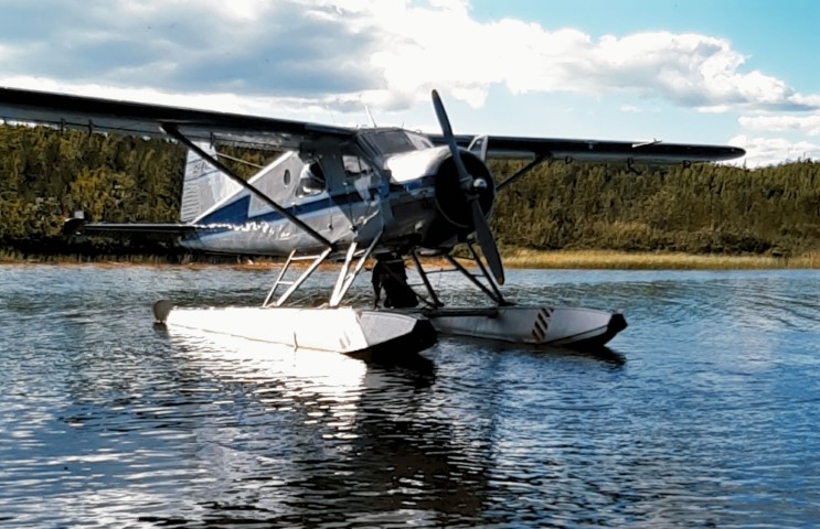
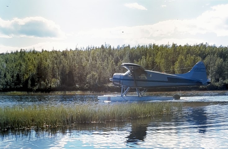
just outside of town off the Cluff Lake road. The Beaver was at
the dock, and our pilot, Chris, was expecting us.
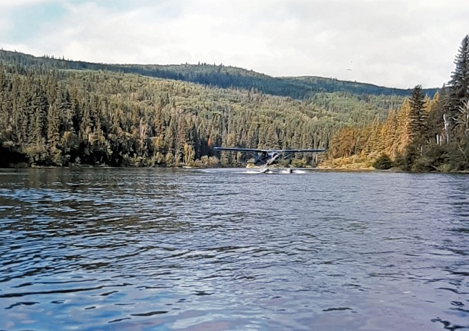
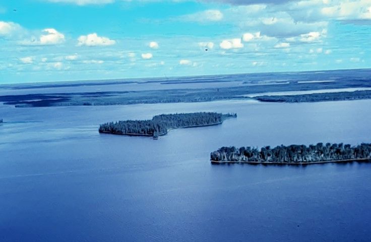
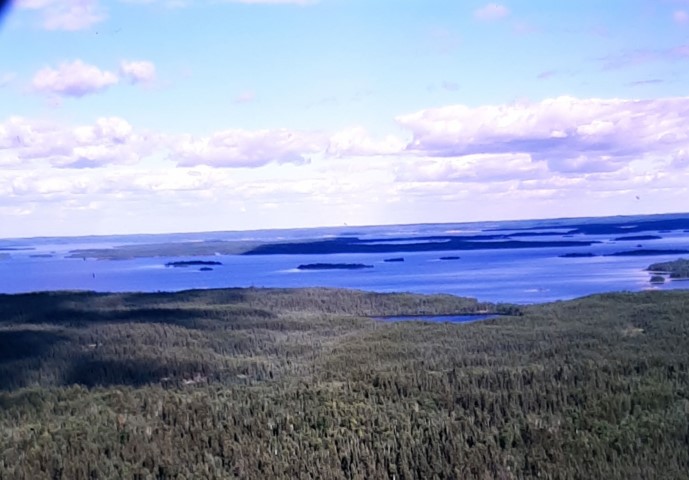
It was 4:40 p.m. when we lifted off and Chris keyed in the Virgin
River on his GPS. We had thought that he would be landing on
Careen Lake, which would have meant a long portage around the
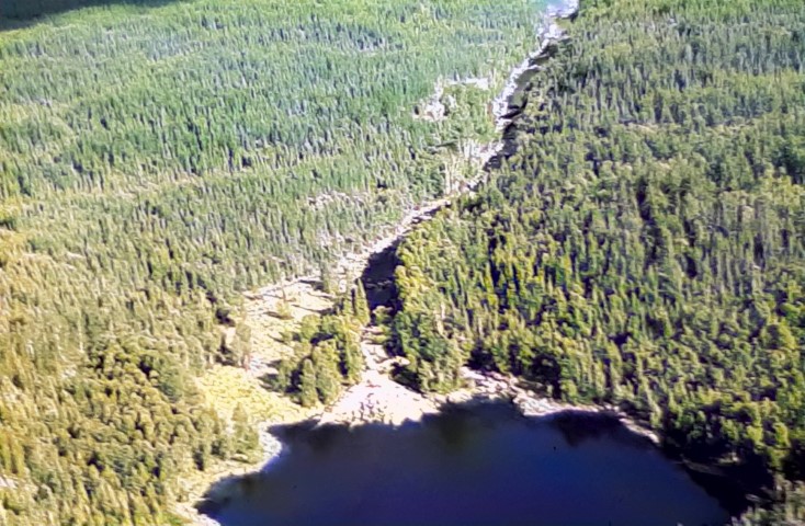
Virgin River gorge. However, Chris was able to land on the small
river below the falls right beside a campsite – bonus!

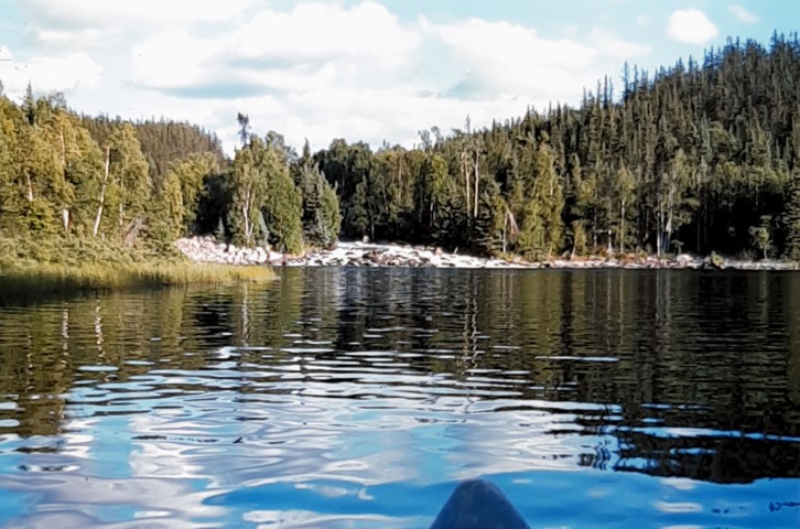
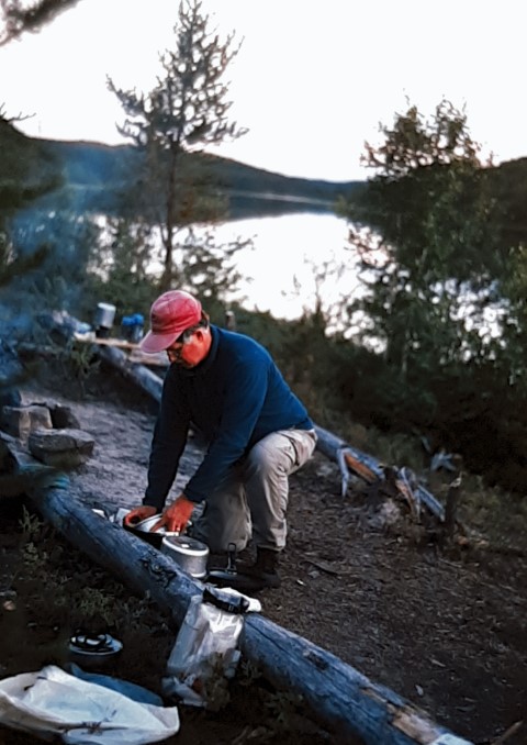
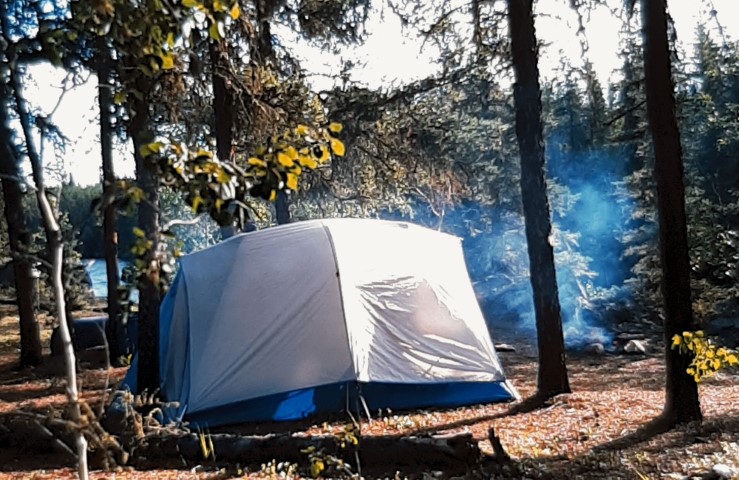
We quickly set up camp and paddled up to the base of the falls to
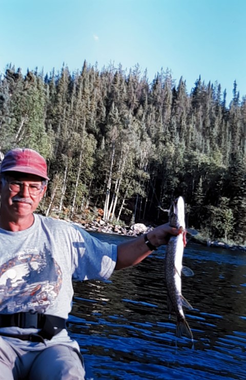
try for grayling for supper. Alas, we were disappointed, but did
catch a few pike, one of which we kept for the pan. The water in
the Virgin River is unbelievably clear, and the area around the
falls is beautiful. It was a beautiful clear evening, and too
cold for bugs. We slipped into our fleece for the only time on
the trip. It was still light enough to read at 10:15 p.m. Our
only visitor was a ring-billed gull waiting patiently for the
remains of our pike.
July 20
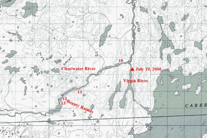
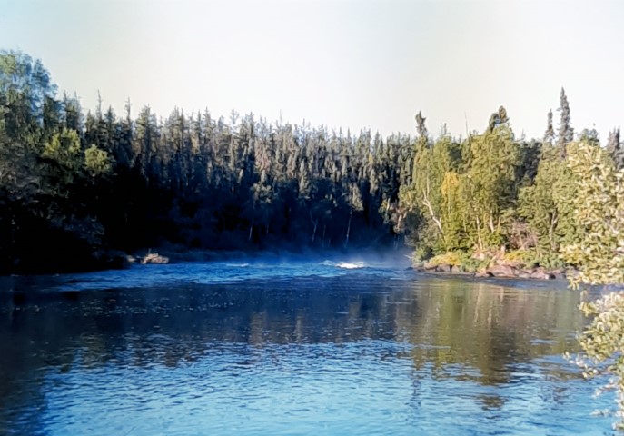
We broke camp and paddled down to the junction of the Clearwater
in a few minutes. The river was full of sandbars, and the sandy
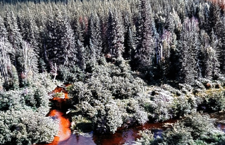
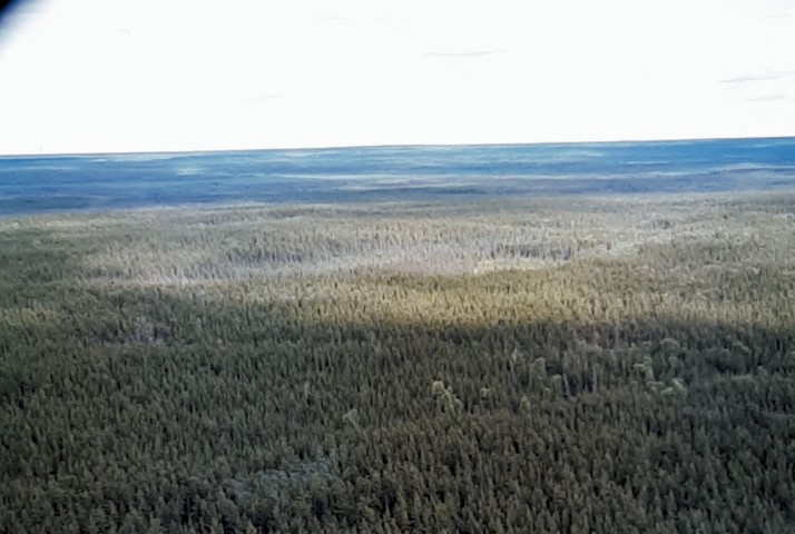
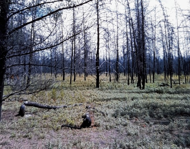
banks were covered with small jack pines which were coming back
after a fire. The forest was very thin, and you could see a long
way back from the river. The first rapids, #10 on our guide
provided by Churchill River Outfitters, was in sight. We were a
bit cautious, since we were on our own, but after a quick
inspection, ran the C2+ rapids on the extreme left. #11 was an
easy C1 down the centre. We concluded that the water level was
good – medium plus. Beauty Rapids, #12, lived up to
it’s name. We found the portage on the right and scouted it.
The 5’ falls were a must portage, and there was no easy
access to the C3 below. So, after taking many pictures of the
different chutes around the islands at the top of the rapids, we
carried over and put in to run the bottom C2 part.
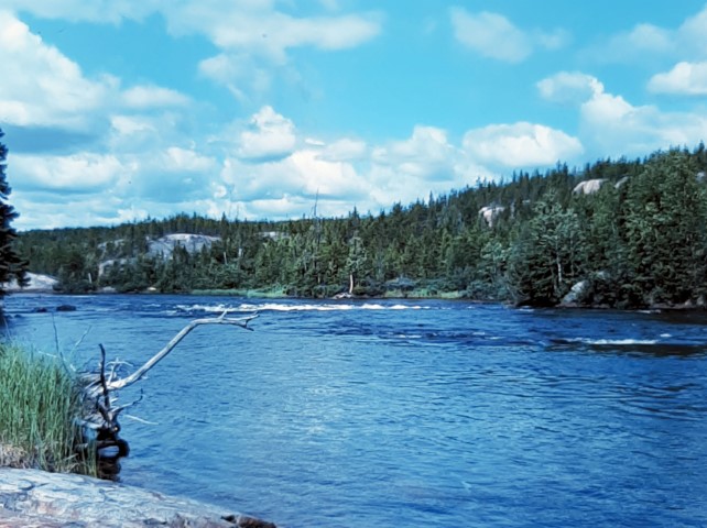
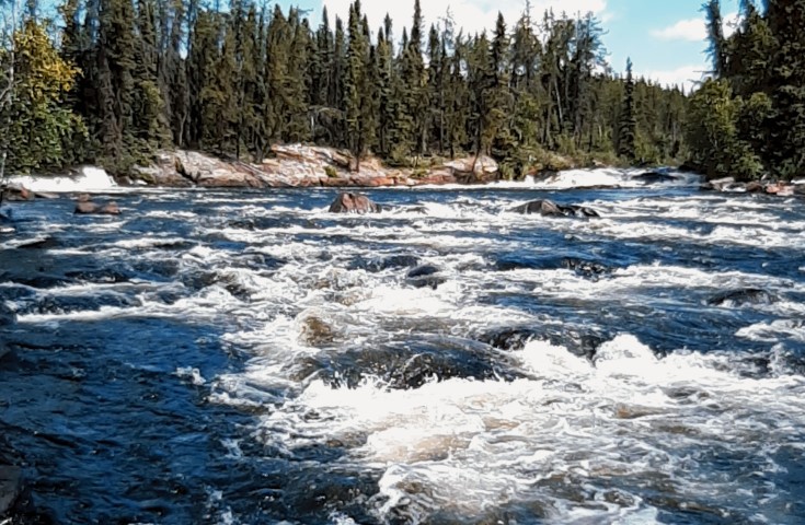
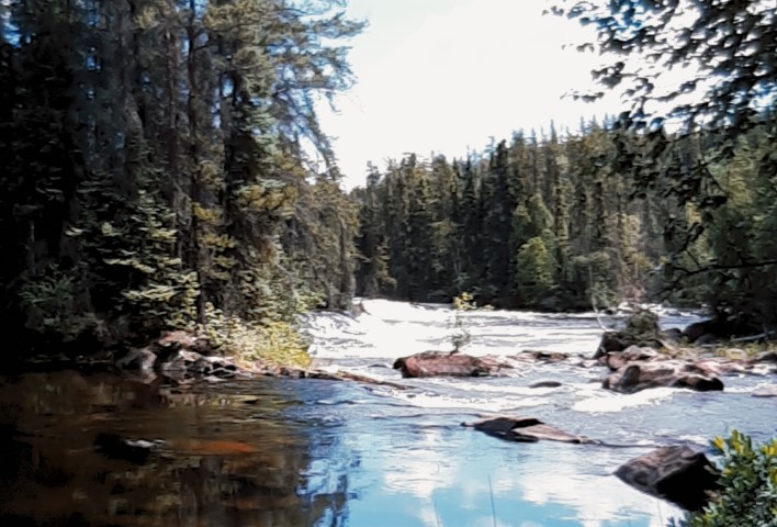
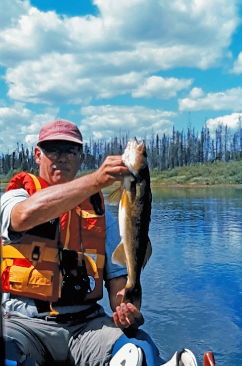
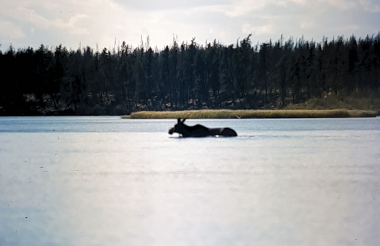
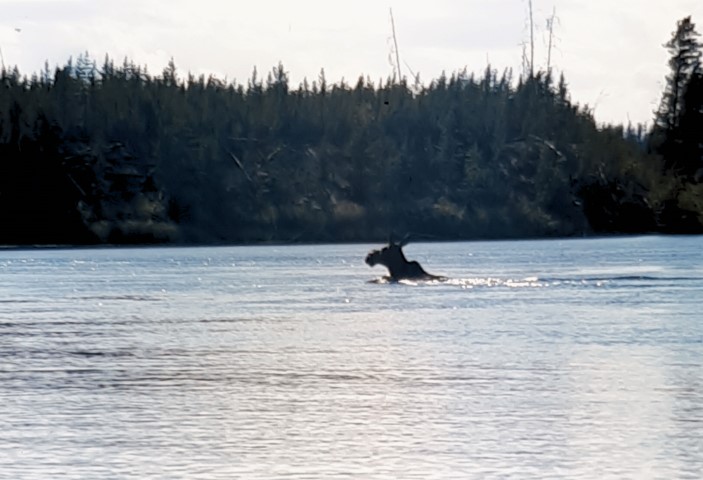
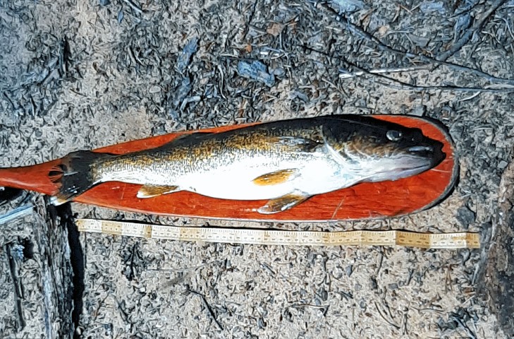
We scouted #13, and ran it loaded on the left, taking in a lot of water in the standing waves at the bottom. To our delight, a bald eagle flew overhead. Shortly afterwards, we caught a 23” walleye, which we filleted and saved for supper. We startled a young moose in the river. It was clear that it had never seen humans before and did not know what to make of us. It just looked at us with a cocked head, finally taking off for the far bank. Even then, it stood for several minutes in the jack pines, eyeing us, before trotting off.
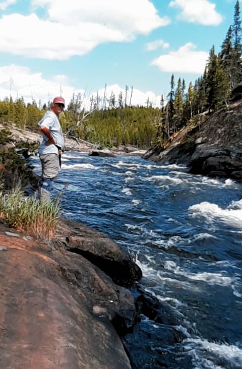
Granite Gorge, #14, was another beautiful spot. We scouted it with difficulty, since the portage, on river right, goes a long way from the gorge and ends in a shallow bay far off to the right. We knew that we could run the first part, but concluded that it was all or nothing, because of the canyon. The last C3 at the bottom had a canoe eater rock in the middle, followed by a large hole, which would be impossible to avoid after going around the rock. We looked for quite a while, but finally decided not to try it, since we had no support team with us – too bad!
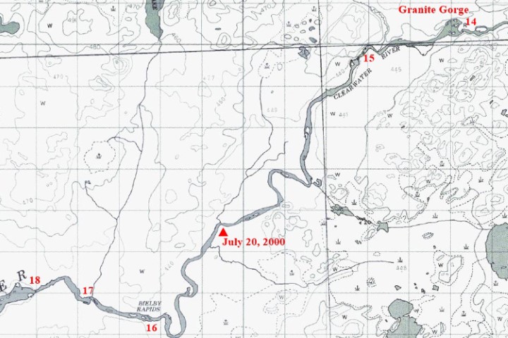
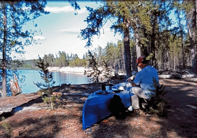
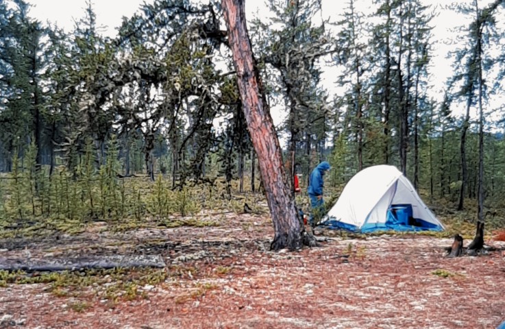
We ran #15, which was a tough C2 with a huge boulder to avoid. We had been hampered by headwinds all day, but now they were really sapping our strength. We should have gone farther, but we were beat, so began looking for a campsite. We found a beauty on river left two-third’s of the way between #15 and #16, just after seeing a merlin around 7 p.m. Our lack of progress was a bit worrisome. We had 6 days on the river and were aiming for 2 days to Warner Bridge, another 2 to Contact Rapids, and a final 2 to Whitemud Falls. We had covered less than half the distance to Warner Bridge.
July 21
We got off to a late start because it was raining with thunder
and lightning in the morning. Again, we had strong headwinds, and
it seemed to take forever to reach #16. There were so many rocks,
that it looked impassable. However, we finally found a runnable
channel hard on the left.
#17 was a long easy run on the left with a few large rocks to avoid.
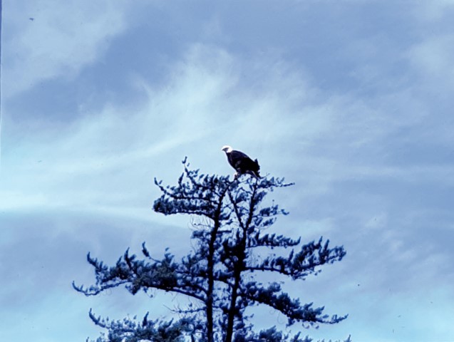
#18 was very rocky, and our quick maneuvering skills were tested. Part way through the rapids, we heard a squawk, and looked up to see a magnificent bald eagle perched at the top of a tree. We eddied out for a couple of pictures.
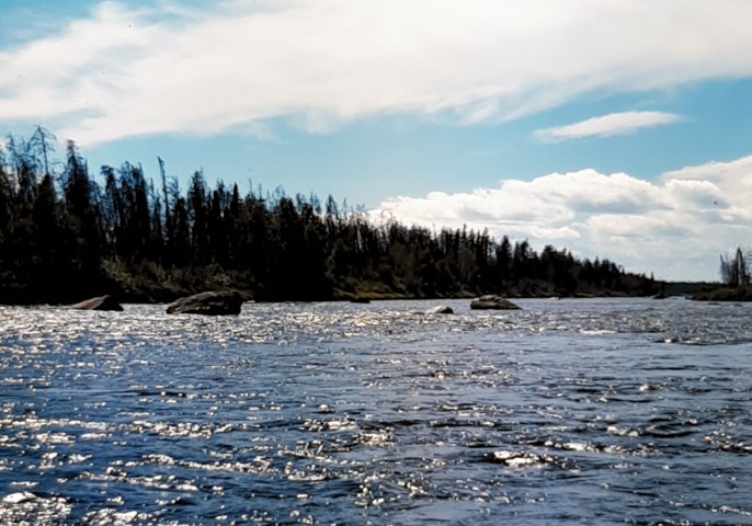
#19 was even rockier. It was very tricky, but at least there were no large waves to worry about. Olson Rapids, #20, was 3 km long, and all rock garden. All of that dodging was very tiring. We saw another eagle, a juvenile without the white head. There were also many large sandpipers and diving ducks.
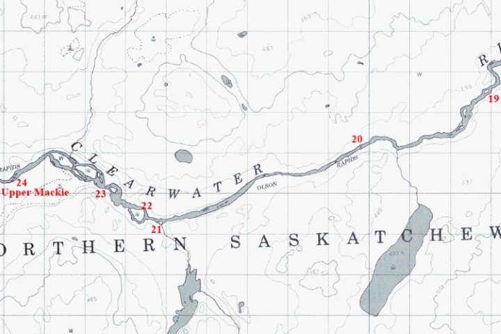

We ran #21 and #22, both very
rocky, on the right. On the latter, we ran out of water at the
end and had to wade a bit. #23 had larger waves, which was a nice
change. However, we hung up on a large rock at the top and got a
bit of a scare. We ran Upper Mackie Rapids, #24, which was a bit
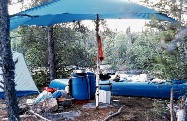
tougher than the others. Lightning was all around, so we quickly
decided to get off the river above the C3 rapids and set up camp.
It was only 5 p.m., we had nearly gone as far as we had wanted,
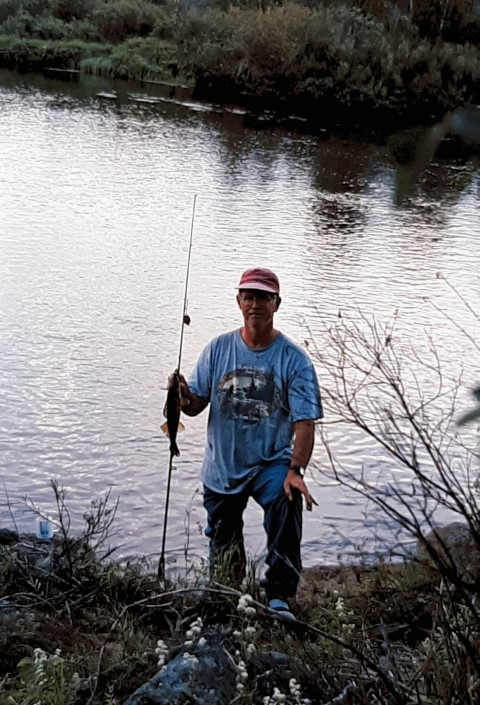
and we had not portaged at all! A few casts provided another
small walleye for dinner. While cooking, we heard a large animal
nearby. So we clanged some pots together and, whatever it was,
disappeared.
July 22
We got off to an earlier start on this fine day. We found that
Lower Mackie Rapids, which had been in sight from our campsite,
was indeed more difficult than it appeared, and impossible to
scout from shore. We were glad we had not gone for it in the
storm the night before. There are 2 C3 ledges. We ran the first
one down the centre and eddied out on the left for a look The
river turned to the right as it went over the second ledge. We
hopped to the next eddy for a last look, then peeled out and ran
it along with the C2 portion below – our toughest rapids so
far!
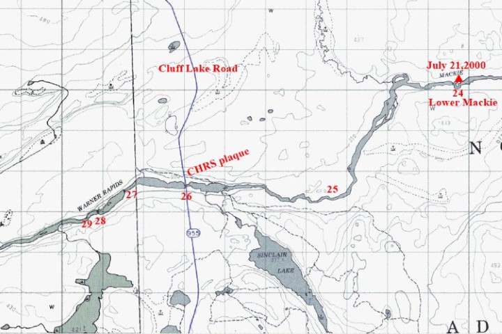

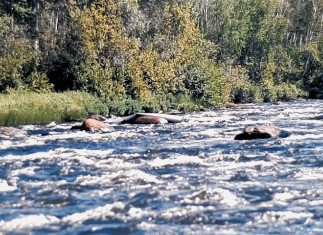
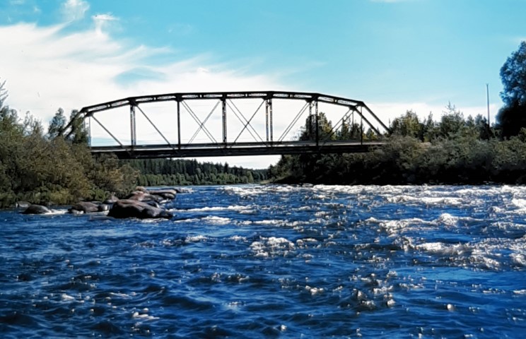
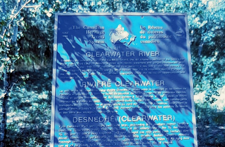
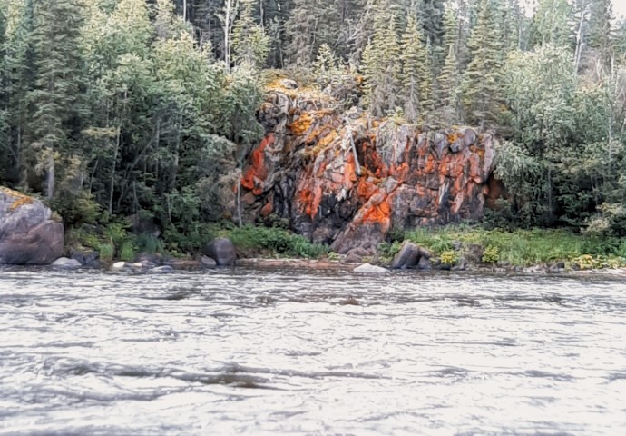
Warner Rapids, #25, was the usual rock garden. It was rather long and increased in difficulty near the end. Just before the pool before the bridge, we saw a wrapped canoe on the other side of the river (right). We toyed with the idea of Z-dragging it off, but realized that we did not have the time. At the pool, there was a white cross on the river bank. Hmm. The chute under the bridge, #26, was a good C2+, and we shipped water. We stopped at the campsite to look at the Heritage Rivers plaque and the Saskatchewan Parks plaque. No one was there.

There followed several easy C1s (#27, #28 & #29) plus several
more which were un-numbered. #30 was called Tricky Ledges Rapids
and we hit a couple of rocks when there seemed to be no clear
channel at all.
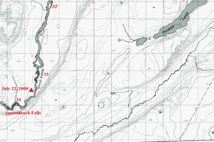
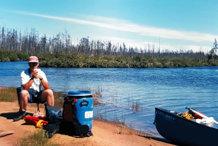
We took the left channel around the big island as recommended in the guide, and enjoyed the change. It was like a separate little river. After that, there were many C1s not listed on the guide, and we got confused. We thought we had done #31 and passed the mouth of the Descharme River, but I guess it was only an island. We ran several more C1s thinking one of them was #32, and that we were heading for Gould Rapids. At the top of one of the C1s, we hooked a large fish while reeling in. We could not stop, so had to shoot the rapids with the fish on. We tried to pull it down the rapids, but it would not come, and it eventually got off. It felt like another large walleye.
When the terrain did not look right, we checked our GPS and found
that we had not yet passed the Descharme River – what a
disappointment! When we finally did #32, we hit a rock in the C2+
rapids – very tricky. We saw another eagle and an
unidentified hawk, perhaps a harrier. It was a long haul to Gould
Rapids and we realized that the situation was similar to Granite
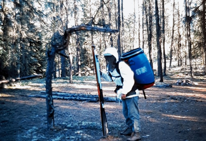
Gorge. We would have no choice but to portage the 1280 m. There
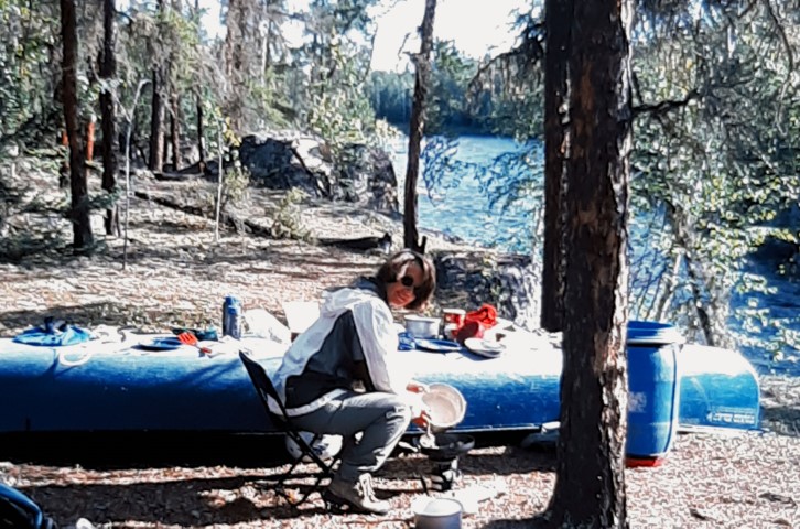
was a beautiful campsite at the end of the portage high up over
the gorge. We saw a deer feeding and drinking at the river’s
edge on the other side.
July 23
Another nice day. We broke camp and paddled down to the portage
for Smoothrock Falls. We turned on our GPS to be sure not to miss
the portage. Even though the falls were close, the sound did not
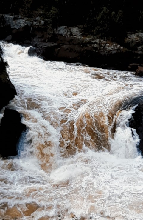
indicate the magnitude of the drop. The 1300-m portage was a
tough carry, but the 60’ falls were awesome. We took many
photos on the way back for our second load. Even the lower C4s
were too tough for us. It was hot and buggy on the trail, so we
had to wear our bug jackets. There was an abundance of bear and
wolf scat on this portage. We had a bite of lunch and lots of
water to make up for the sweat lost on the portage.
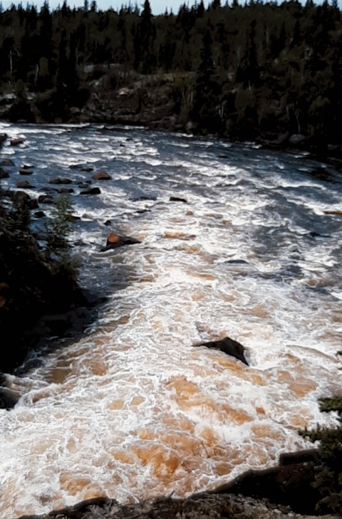
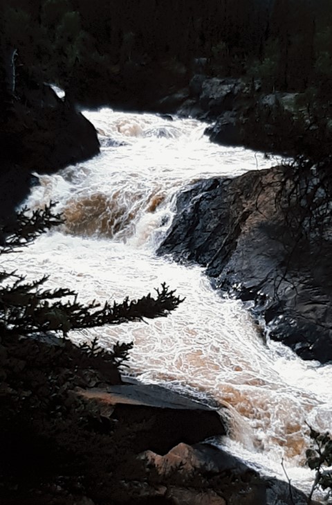
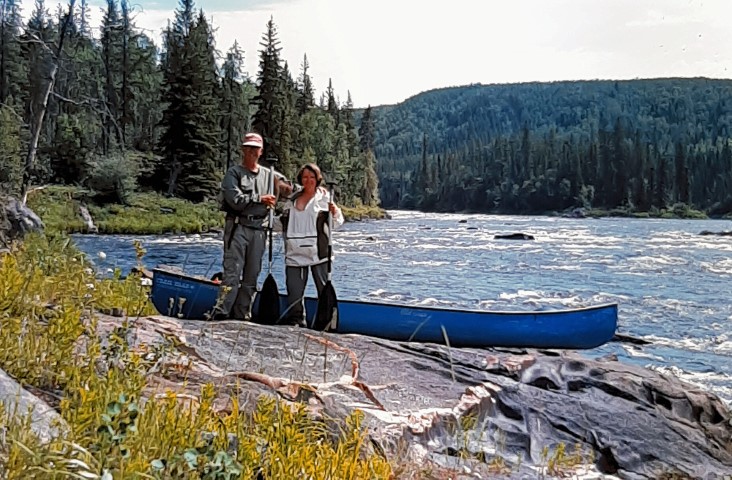
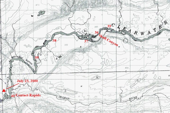
We headed down river and saw another eagle. We caught a small pike which we saved for supper. It seemed to take a long time to get to the next set of rapids, so we used the GPS to make sure where we were. #35, on the right of the large island, was a small ledge that went all the way across. We just went straight over and scraped a bit – no problem.
We knew that the approach to Skull Canyon rapids, #36, was close
to the point of no return. Thus we were really careful, using the
GPS all the way. Even so, just ahead we could see the start of
the rapids leading to the falls, and still no portage!. We even
got out and checked a couple of spots, but no luck. Finally, we
proceeded almost to the brink, and there it was. This portage was
only 345 m, so seemed really short! The 49’ falls through
the gorge at Skull Canyon were amazing. We hiked around and took
lots of photos.
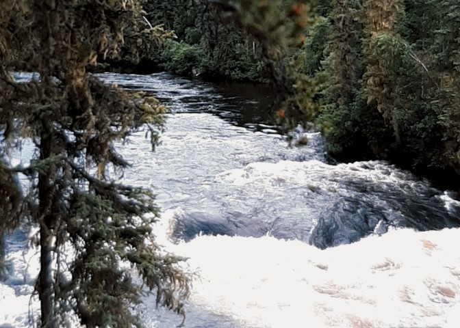
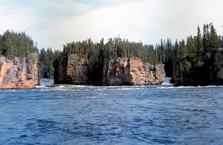
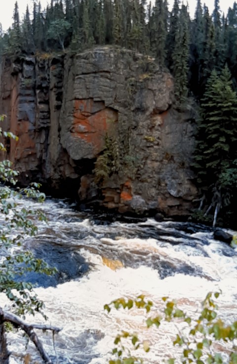
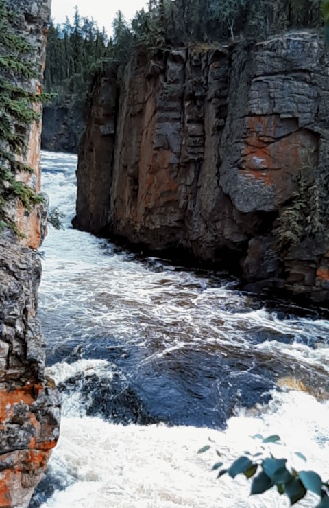
The C1s, #37 & #38 were no problem. Simonson Rapids, #39, was
very interesting. We ran the first south branch and found it a
tough C3. This was followed by a C2 and a C1 rock garden. Then
the river turned north-west, and there were 2 more C2s, which we
ran. We were hoping to run all the rest, but when the river
turned south again, a C4 ledge blocked our way. Despite lots of
scouting all of the channels, we finally made the 80-m portage
– no sweat. However, it was 7 p.m., and we were getting
tired. There was no campsite, so we decided to run the last 2 C2s
of Simonson and look for a site at the Contact Rapids portage.
Once again, we had trouble finding it, but finally did and set up
camp at a fair site at 8:30 p.m. – our longest day. But at
least we were now right on schedule.
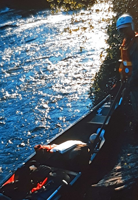
July 24
We got off to an early start again. After reviewing the trip
guide, and realizing that there were 3 short portages over C4
drops in Contact Rapids, we decided that we might as well portage
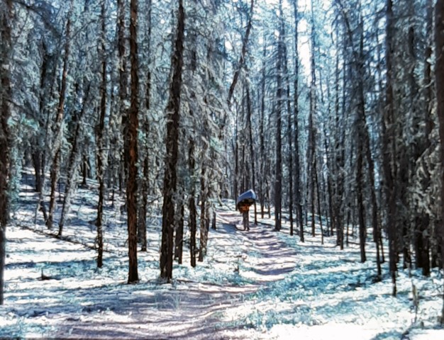
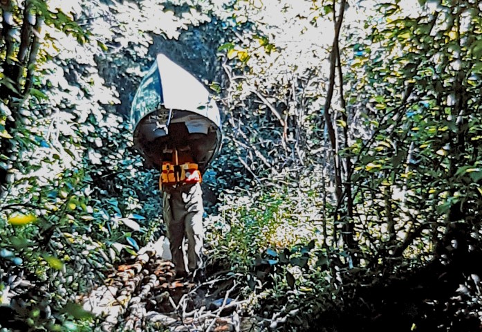
the whole thing, At 1150 m, it was our shortest long portage, and
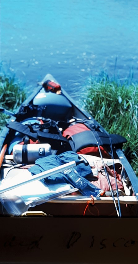
the trail was very good. But my, that Old Town Discovery is
heavy! Shortly after leaving the foot of the portage, we heard a
female voice, and were surprised to see people up under the trees
and a canoe drawn up on river left. We assume that they were
equally surprised to see our little blue canoe go by. They must
have been finished their trip and waiting for a plane to pick
them up.
We stopped for a bite of lunch on a sand bar and went for our
first swim and clean up. Did it ever feel good after those sweaty
and buggy portages. The water was not particularly cold..
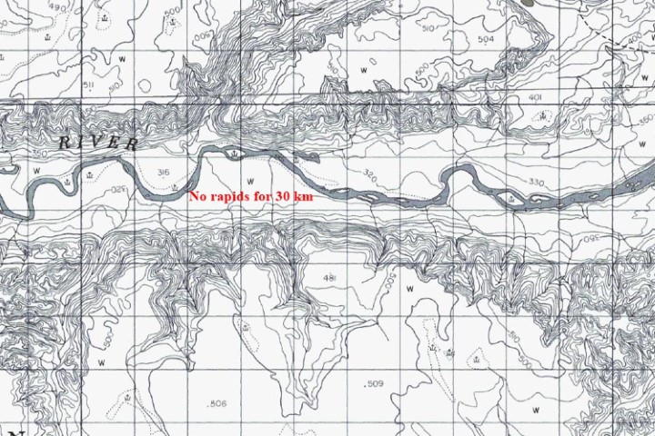
There were no rapids to contend with, only the endless kilometres
of switch-backs and the horse files. We spotted a bear on a
grassy bank in the distance, but it bolted right away. We also
saw another eagle. This one was on the ground with a fish or
other prey. We caught and released 2 pike; we decided to eat some
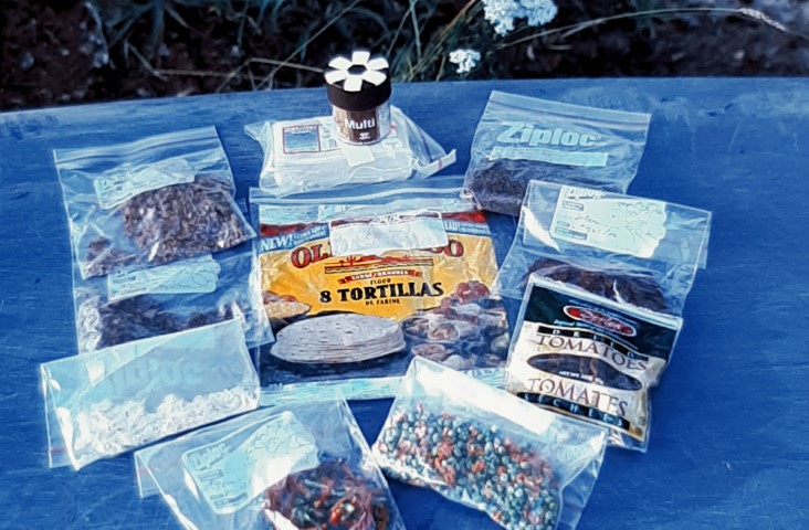
of the food we had brought.
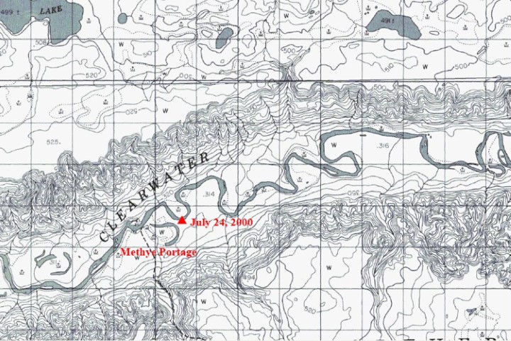
At one point, the map showed a big loop in the river with only a
10’ sand bar to cut through. We went ashore to investigate,
but got into a bunch of stinging nettles for our trouble. Bad
choice! We wanted to camp close to the Methye Portage. We tried
one site, but it was full of garbage and fish remains. So, we
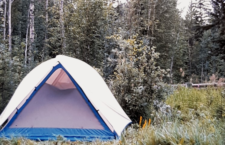
moved on and made camp at an old fallen down trapper’s
cabin, only about 1 km from the Methye Portage. We had covered 31
km.
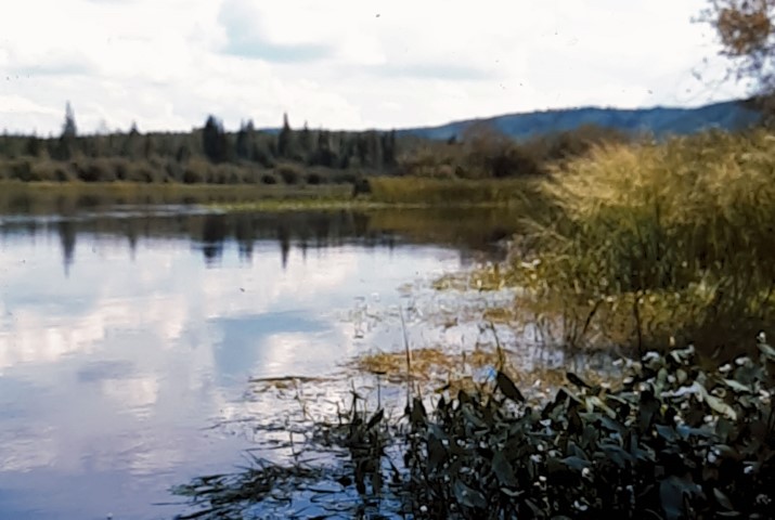
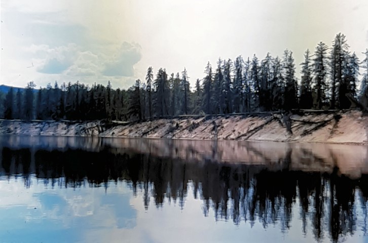
July 25
We made the short paddle to the northern terminus of the 19-km
Methye Portage, the longest carry on the entire voyageur route.
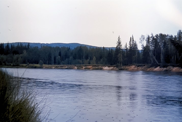
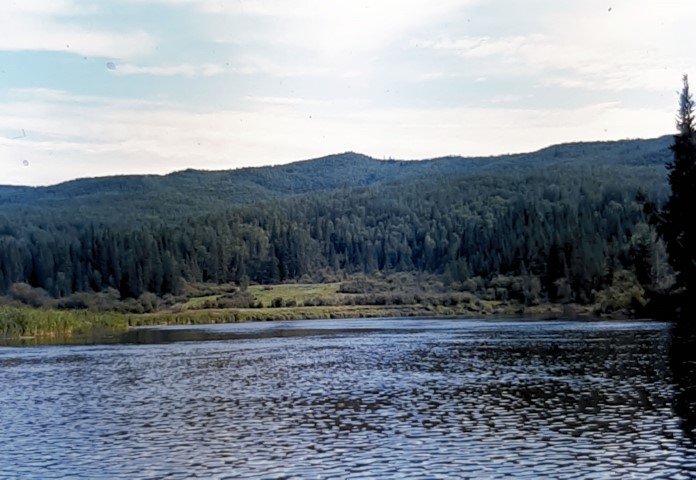
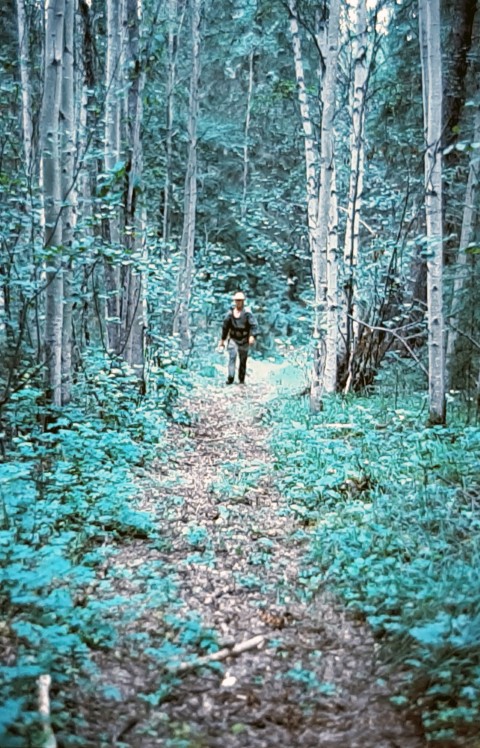
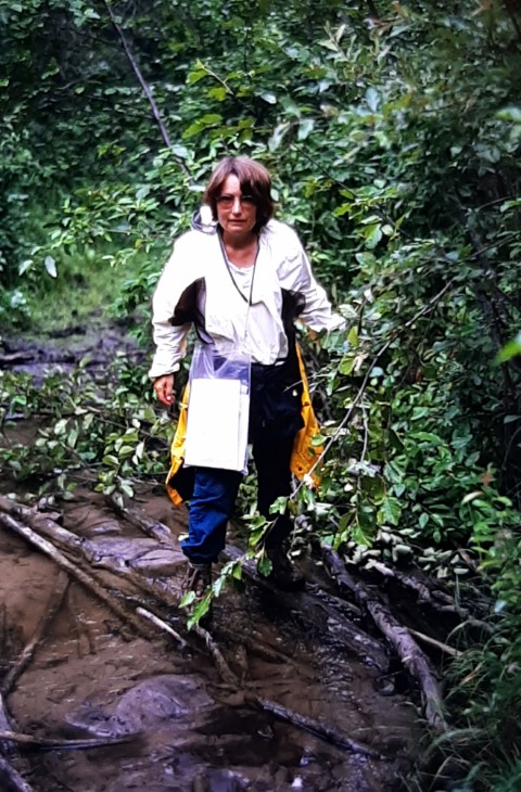
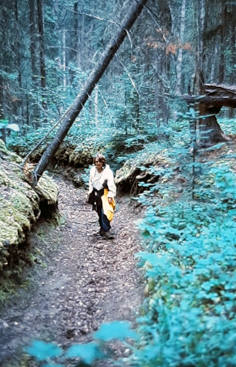
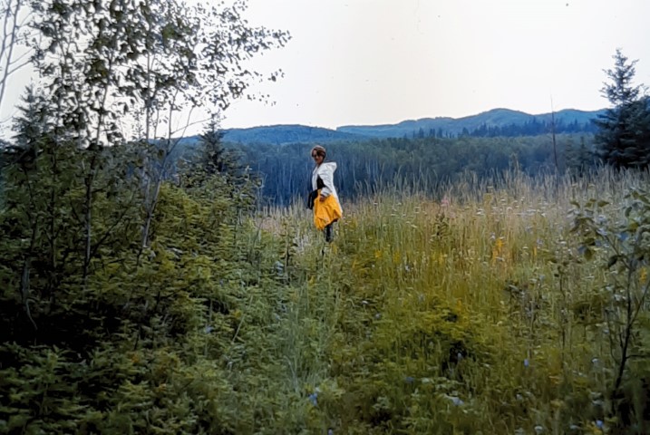
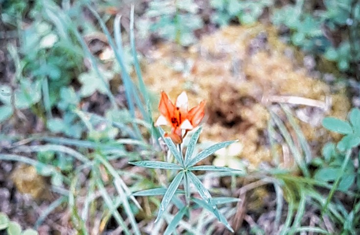
There were some tarps and a shack, which looked to be a cache of some sort. We were positive that we were in the right spot because of the open grassy meadow, so well described by the early fur traders and explorers. However, the trail was not obvious. We found one leading into the forest that looked promising, so we followed it for 1 km or so, only to find that it came to another crude camp by the river. Or was it on an oxbow? We retraced our steps and turned on our GPS to reveal that the trail was going in the wrong direction. We checked down river, then up, past the shack, and finally found a faint grassy path. The part of the trail in the meadow was completely overgrown. However, this eventually did plunge into the forest and onto the Methye Portage. We followed the trail for 2 km through a swamp and up to the start of the famous 700-m hill. The mosquitoes were fierce, and we were glad of our bug jackets.
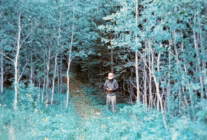
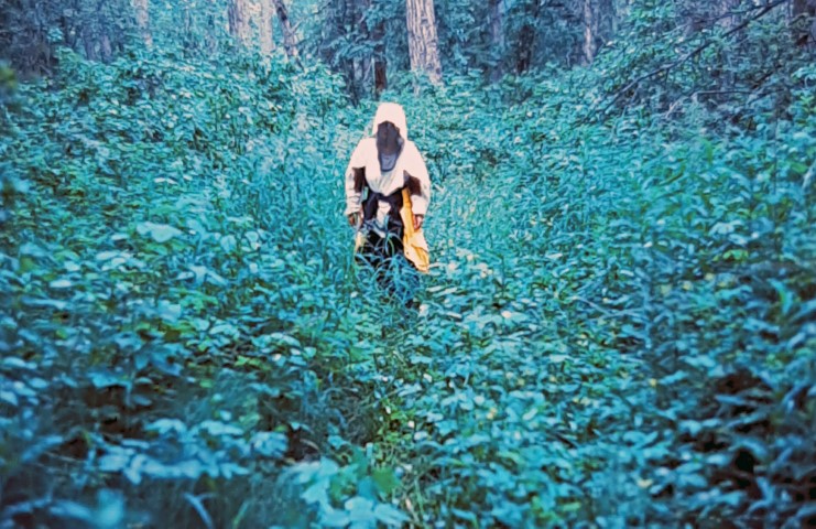
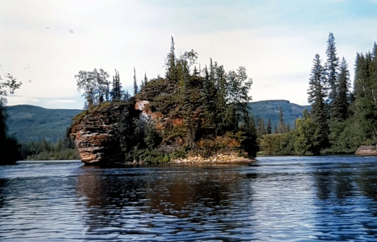
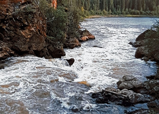
When we had had enough, we retraced our steps and resumed canoeing. It did not look far to Whitemud Falls. However, there were so many twists and turns, that it was after 5 p.m. when we made the last southern turn towards the falls, which we had been hearing for some time. We passed the huge flowerpot island, running the C1 rapids before the falls.
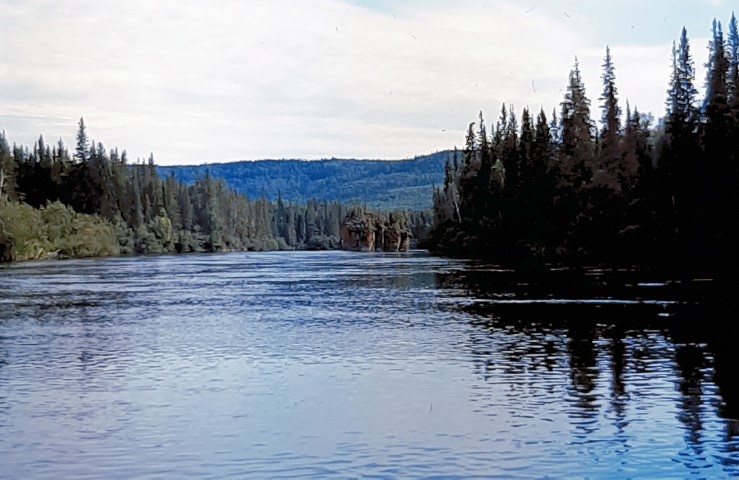
It is eerie to be so close to a
40’ falls before turning right into a small bay where the
portage and snye (Bradley’s Creek) are located. We had
decided to try and take the snye, as recommended in the trip
guide, in order to avoid the 450-m portage. We had decided that
we had portaged enough on this trip. This turned out to be a VERY
BAD IDEA.
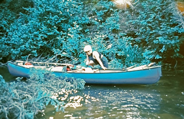
Our way was blocked by a very long spruce tree that had fallen
all the way across the creek. It looked clear beyond, so we
dragged the tree aside to make space to go through. At first, the
creek was very enjoyable with gentle current and lots of dodging.
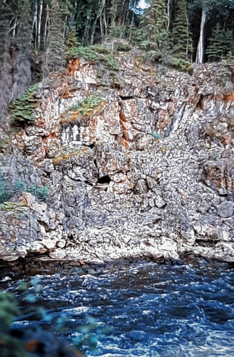
We passed huge cliffs and scenic flowerpots, and were
congratulating ourselves on our good choice. After a while, the
rapids got steeper and shallower, and we ground to a halt. The
limestone rock was very sharp and badly scratched our canoe. We
waded until we came to a beaver dam, which we hauled over. Then
came another one, and another and more. There were 6 dams
altogether and one was over 4’ high. The shrubs on the shore
were very close and we were constantly being hit and scratched,
not to mention eaten by mosquitoes. Debris was gradually filling
the canoe. By then we rued our decision not to portage.

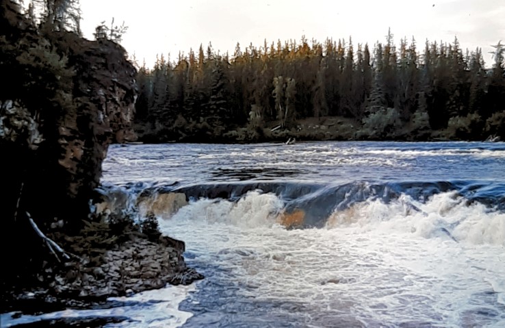
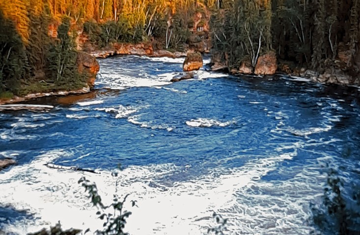
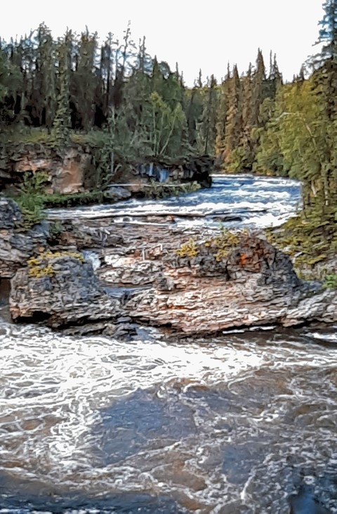
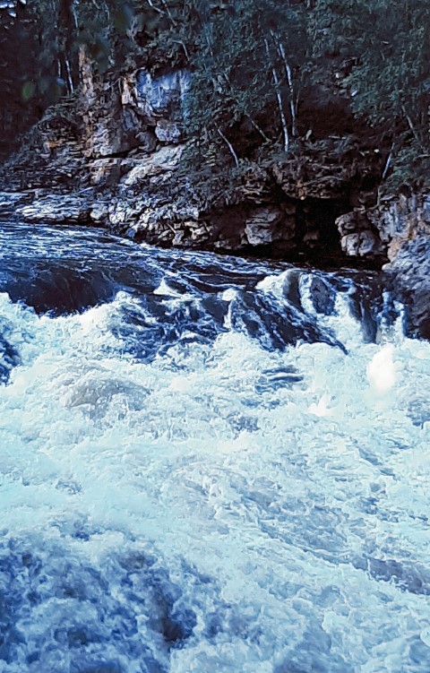
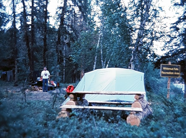
We finally made it out to the main river, 1.5 km downstream of the falls. We had to paddle upstream against the surprisingly strong current. A helicopter buzzed over us and then did a 360 around us, just for fun, I guess. Near the base of the falls, we came to the Alberta provincial campground, where we set up, exhausted, at 8 p.m. We went for a short hike to view and photograph the falls, then had dinner and went to bed thinking about the warning of bears in the area. There were no other campers here either.
July 26
We were up early to be ready for the plane. After a simple
breakfast, we packed up and paddled across the river to wait for
Chris, our pilot, who was due at 9 a.m. At 9:10, we heard the
drone of the engine, and saw the Beaver pass high overhead and
disappear.
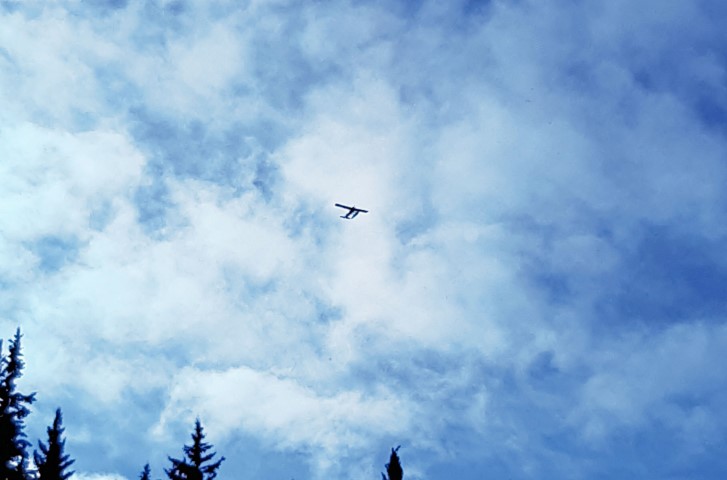
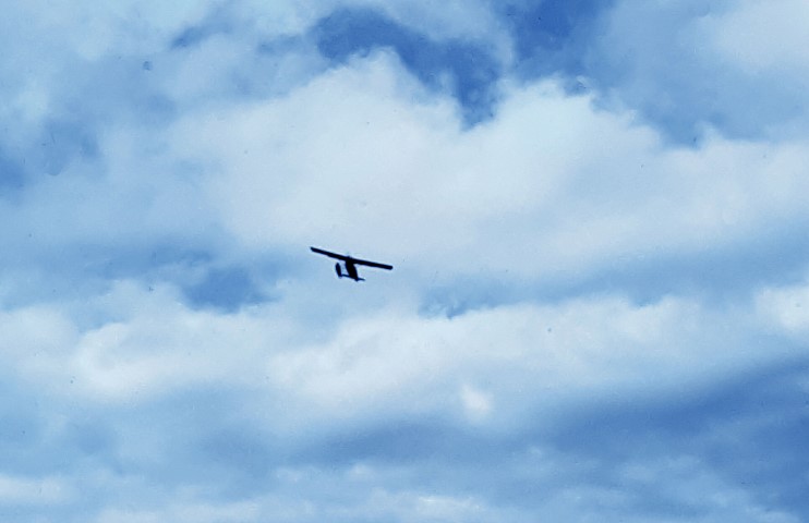
Ten minutes later it reappeared and did the same thing. We were starting to get puzzled. Finally it came into sight from the west, already on the river. It taxied over and a different pilot rolled down the window and asked if he was in the right spot.
It turned out that Sean was
replacing Chris, who had gone to Vancouver. Sean had never been
to Whitemud Falls before, and had only a ridiculous crude sketch
map to go by. He did the two fly-pasts to check out the
situation, then followed his instructions which said he should
land downstream in a very shallow section, and keep the engines
revving to prevent grounding on a sand bar. This was silly, since
there was adequate deep water where we were, just below the
falls. Sean taxied over to the shore, got out on the pontoon, and
jumped out into 5’ of water, ruining his pager (or was it
another pilot’s).
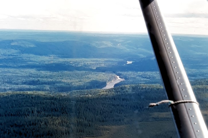
We loaded up and took off downriver, no problem. We caught a
glimpse of the hateful stream and then Whitemud Falls, as he
banked and turned to go back to La Loche. It was only a 15 min.
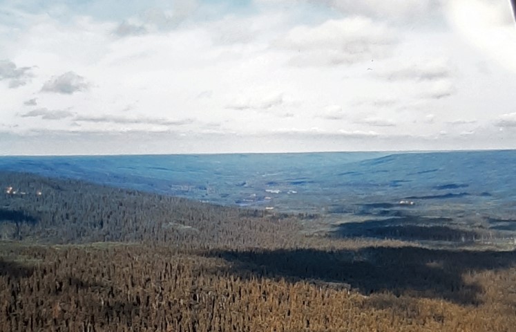
flight, and as we neared Lake La Loche, we spotted the southern
terminus cairn for the Methye Portage, and could clearly see the
trail winding over the flat ground. After having coffee and
chatting with the pilots at Mikisew, we loaded the car and took
off for Saskatoon, this time via Prince Albert.
