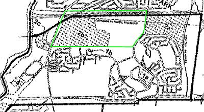
Once it was decided that the area purchased for the Gréber ring road was not to be used for that purpose, plans were made to develop it. In a plan agreed to in 1997 by the National Capital Commission (NCC) and the pre-amalgamation City of Ottawa, almost all of the meadow (area 2b below) was to become a new subdivision; the McCarthy Woods was to be left as greenspace:
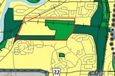
After protests by local residents, the post-amalgamation City changed its mind, designating in 2003 a strip adjacent to the housing on the southern edge as Major Open Space (dark green, no development), and retaining the McCarthy Woods as an Urban Natural Feature (light green, environmental protection):
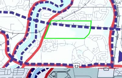
The NCC does not accept the removal of so much of its land from development potential, and is in the process of asking the Ontario Municipal Board to overrule the Major Open Space designations for the strip between McCarthy Woods and Riverside and for the area east of the Woods, and replace them with General Urban Area, which would maximise their development value.
One of the many plans of the City (in the 2003 Official Plan) includes an urban pathway through the corridor along the south side of the CN rail line, crossing the Rideau River via an expensive new bridge.
The Greenspace Alliance of Canada's Capital is proposing that a Poets' Pathway follow the hydro corridor to the north of the area, crossing the Rideau on the existing CN rail bridge, which was made wide enough for two tracks but still holds only one.
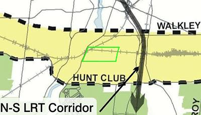
Another current City plan envisages an east-west O-train (LRT) line, using the CN rail line:
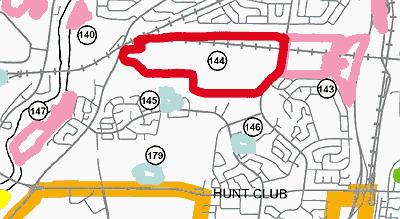
The current Urban Natural Areas Environmental Evaluation done for the city gives most of the area except the southwest corner a high rating (red, 144 below).